My wife Cassie KG6MZR and I ventured into a part of New Mexico we had never visited to activate Maidenhead grid square DM86. This adventure was prompted by several members of the PODXS 070 Club suggesting that this was a hard grid square to make contact with on PSK-31 mode. The place I targeted was just across the northern boundary of Capulin Volcano National Monument. Here: 36° 47.5049′ N, 103° 57.7698′ W
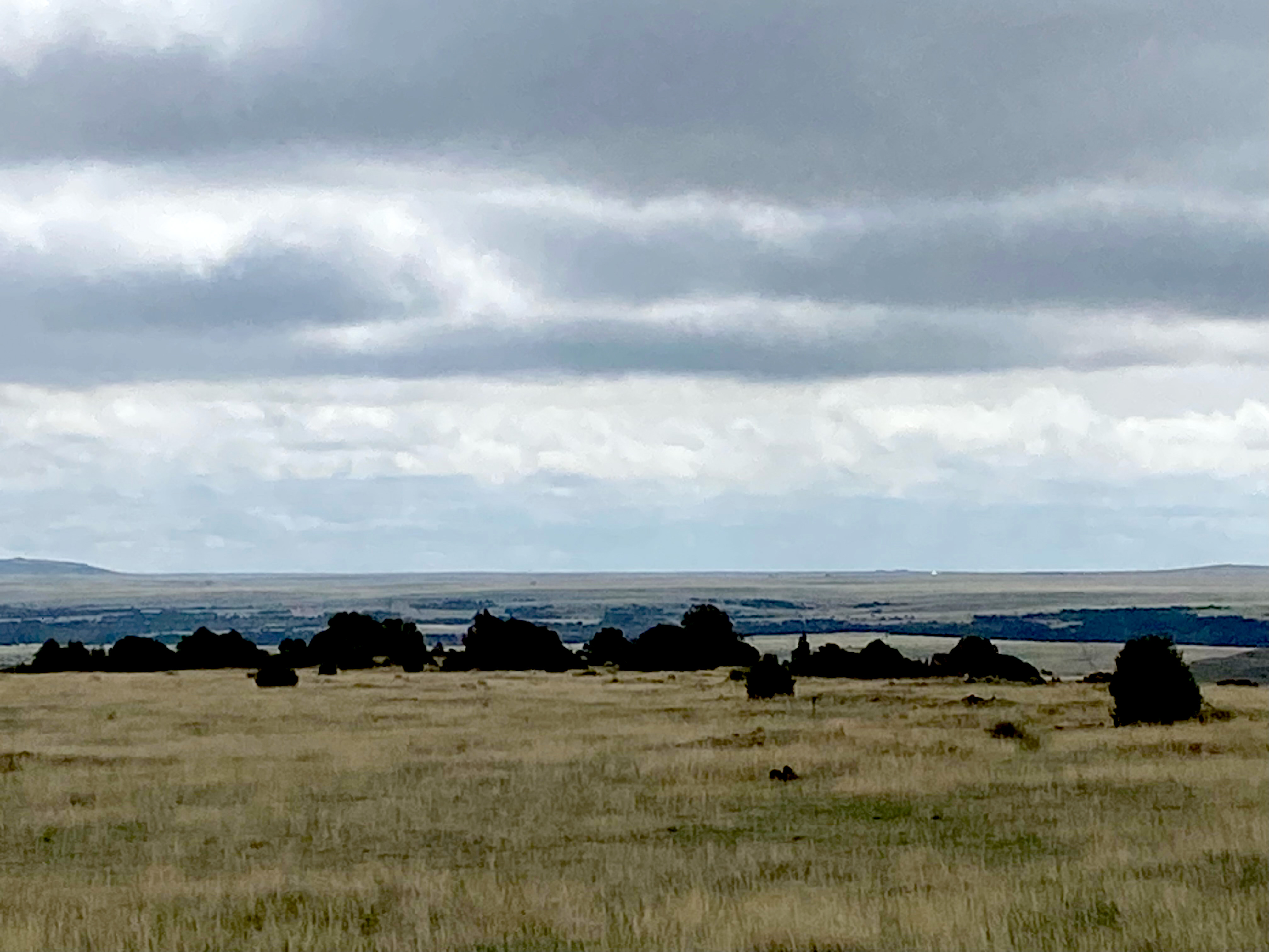
Afternoon thundershower activity had been pretty intense the last few days in Northern New Mexico so we got up early to try and beat the afternoon convection storms and headed east from Taos Valley before the sun came up. The drive up Taos Canyon and over the Sangre de Christo Mountains and then down Cimmeraon Canyon was alive with wildlife. We saw elk, mule deer and antelope in abundance. We were now at the very edge of the Rockies looking eastward across the vast expanse of the Great Plains of America.
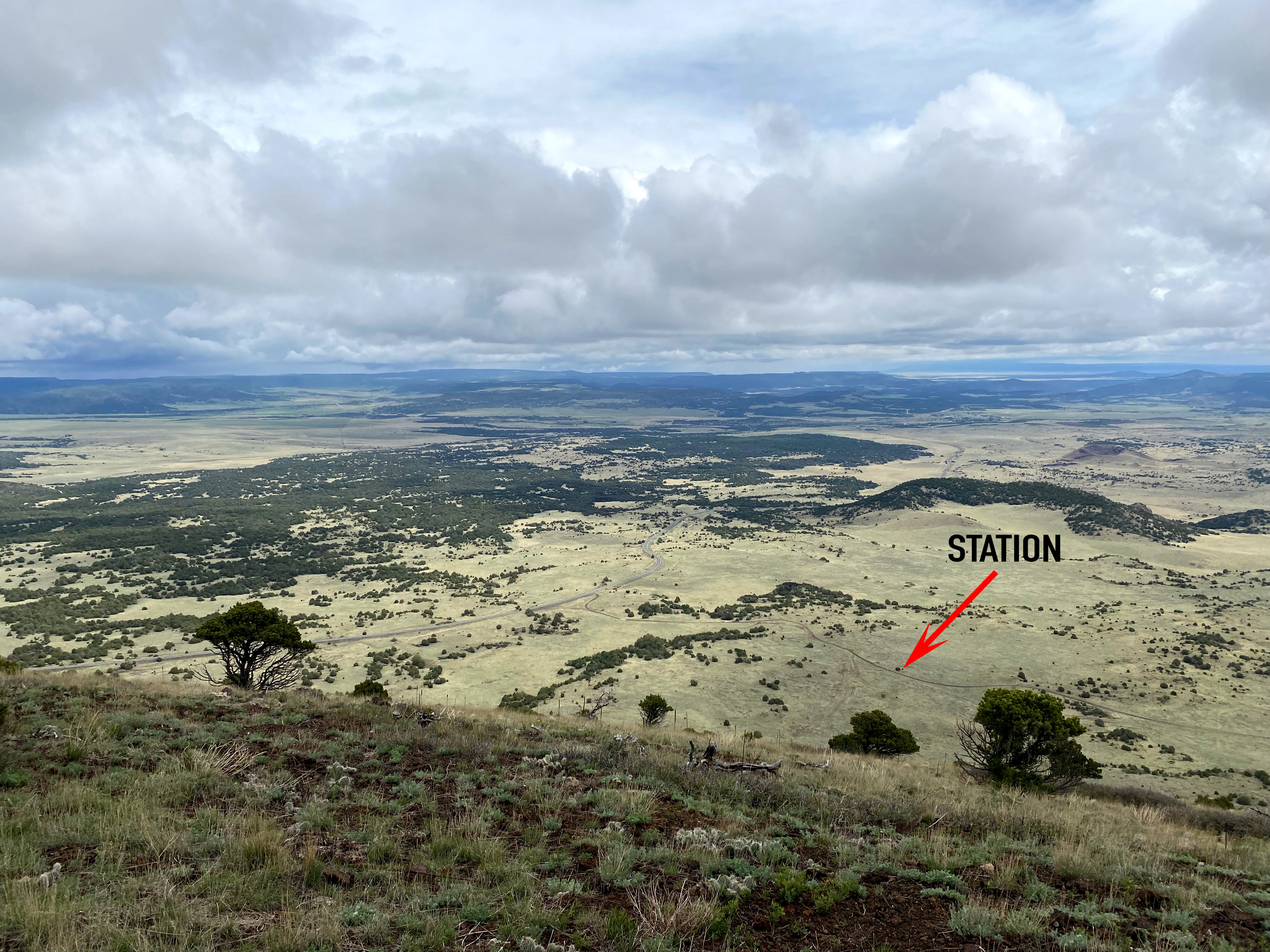
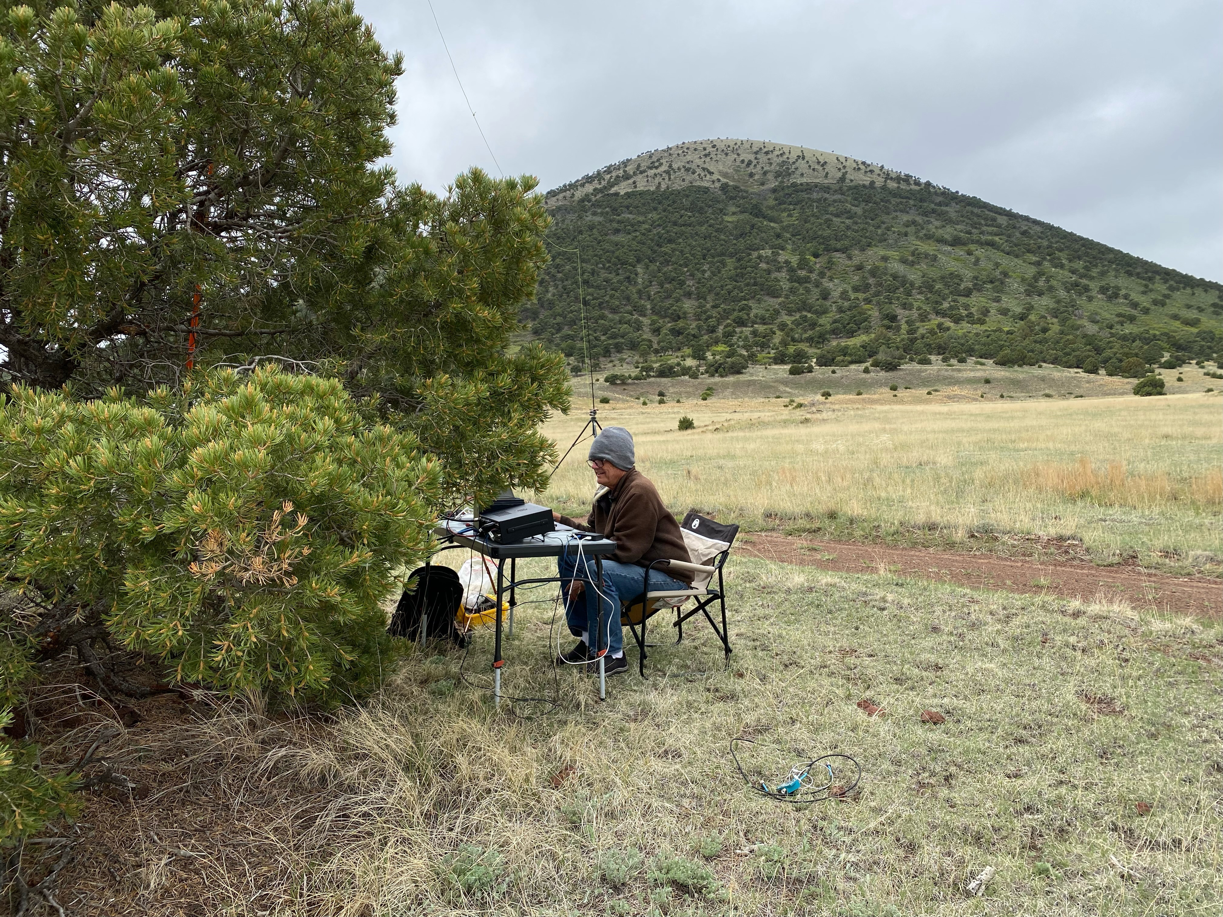
We reached the national monument about 9 am Mountain Daylight Time and found a nice dirt road that took us around the north side of the volcano. I excitedly set up in the lee of a lone piñon.
Things on a gridpedition always seem to have their bumps. The brand new doublet I made that was a good match on 40m was presenting very high SWR readings despite being thoroughly tested before we left. The cumulus clouds were building so I hurriedly switched to my older 20m version and it tuned up fine. (it later turned out to be a bad piece of coax and not the antenna).
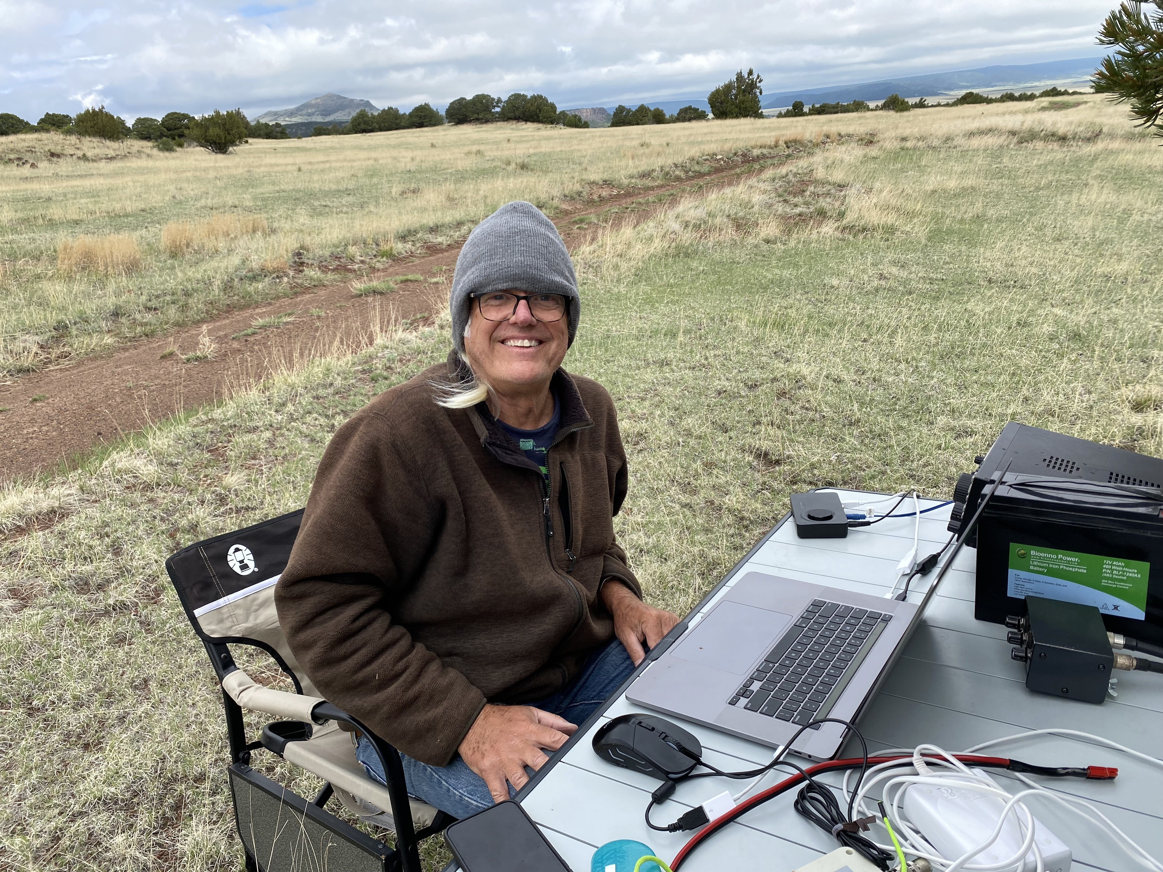
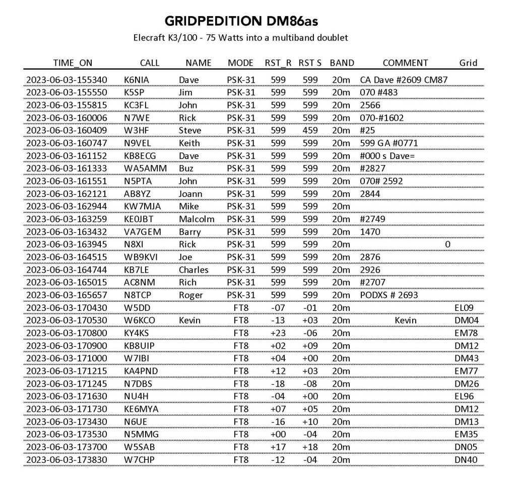
This gridpedition coincided with PODXS 070 Three Day Weekend contest, so the PSK activity was very gratifying. Thanks to Rick W7WE and Barry VA7GEM for coordinating with the club. Cell coverage was good along with APRS coverage, but these guys were standing by in case my only link was through my Garmin InReach Mini and the Iridium Satellite Network.
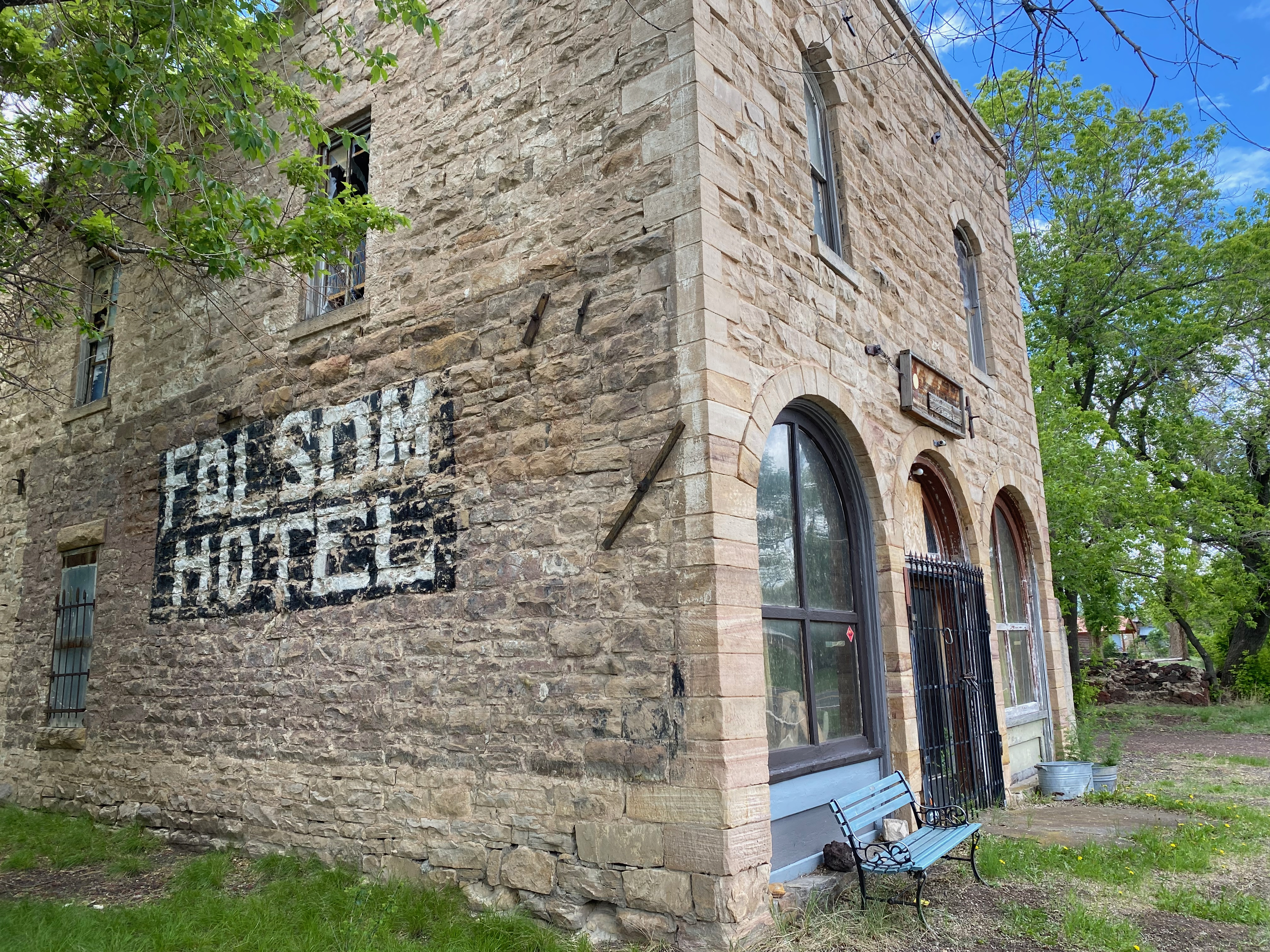
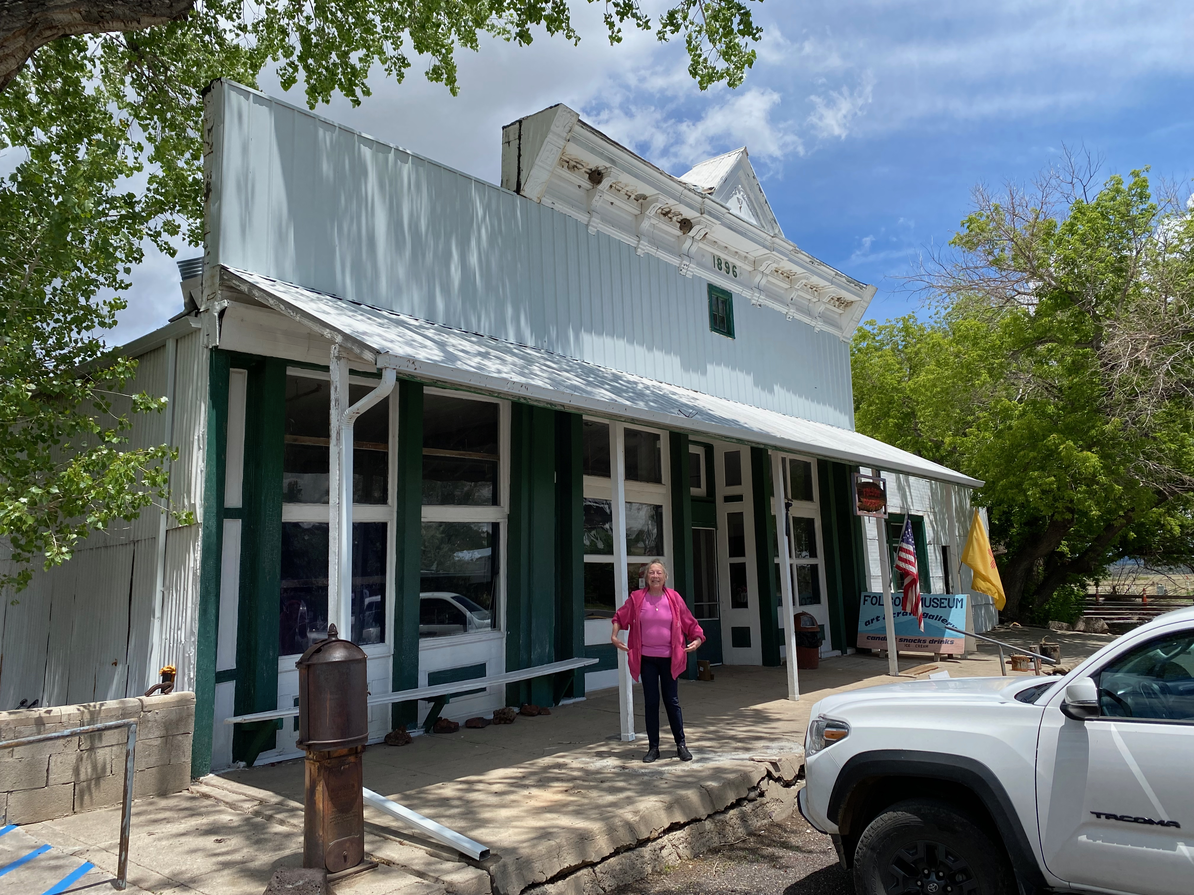
After packing up, KG6MZR and I drove into the fascinating town of Folsom. If you are ever in this area, do not miss the Folsom Museum. Volunteers Margaret and Nick there told us that despite the igneous volcanoes and lave flows that surrounded the area, there were vast sedimentary deposits from a prehistoric sea that had yielded dinosaur bones and older fossils.
What really put Folsom on the map was when self-educated former slave George McJunken discovered in 1909 the famous Folsom Point spearhead among the bones of an extinct bison that stood 12 feet tall at the shoulders. This find proved that humans have lived in Folsom for 13,000 years!
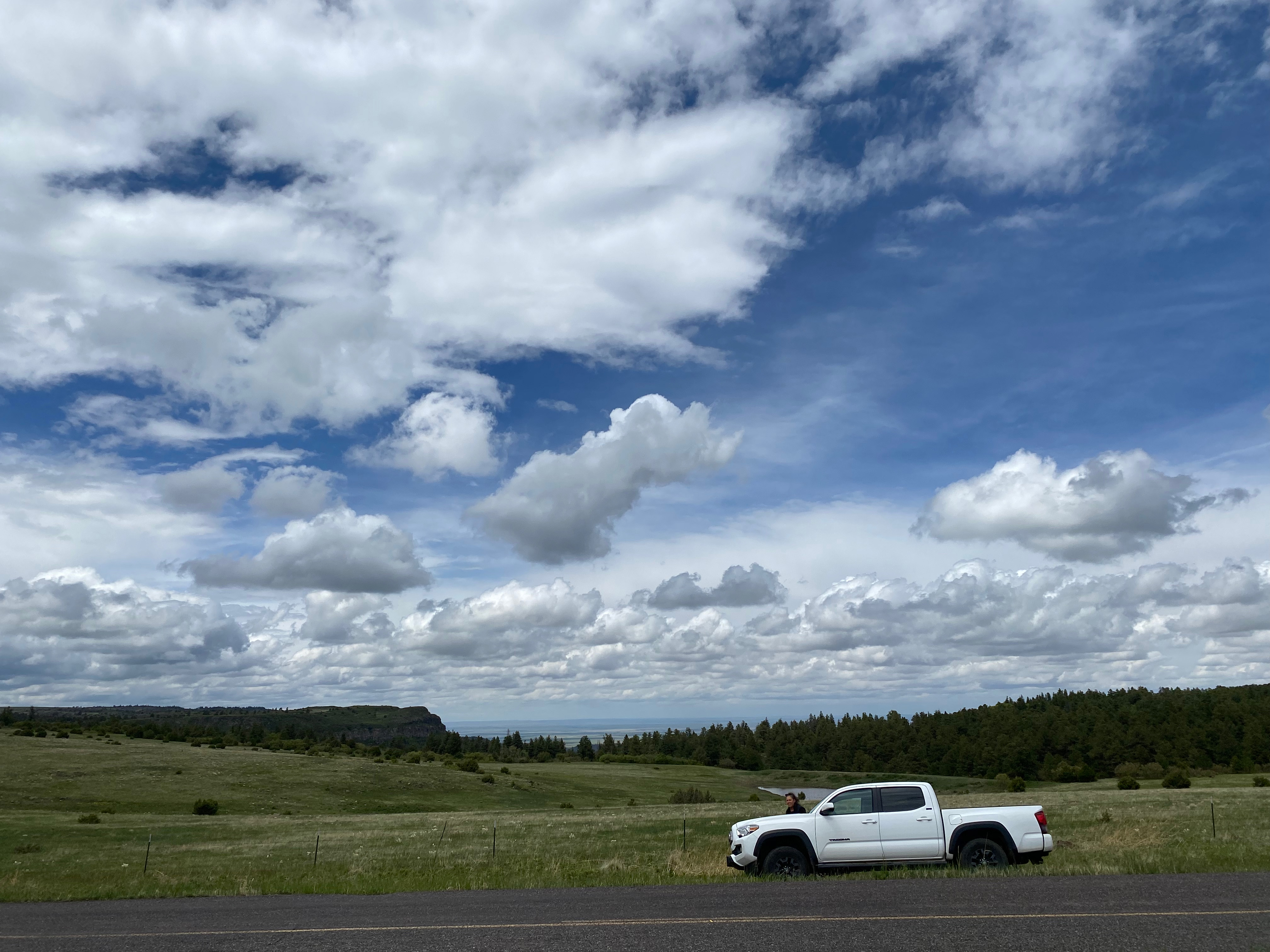
On our way back to our motel in Raton Margaret and Nick suggested we take little-traveled Highway 72 over Johnson Mesa. The scenery was absolutely stunning! Nick had told us to be on the lookout for two “keyholes” that gave brief views down off the mesa to the expanse of the great plains below. When we stopped to take in this breathtaking vista we saw a flock of wild turkeys gobbling away in the high meadows of the mesa.
The following day Cassie and I activated Capulin Volcano. You can read about that Summits-on-the-Air (SOTA) activation here
Once we were safely ensconced in out motel room in Raton the skies opened up and it just poured rain, thunder and lightning. All-in-all this was a very gratifying day.
You can read more about the gear I use for a gridpedition here:
