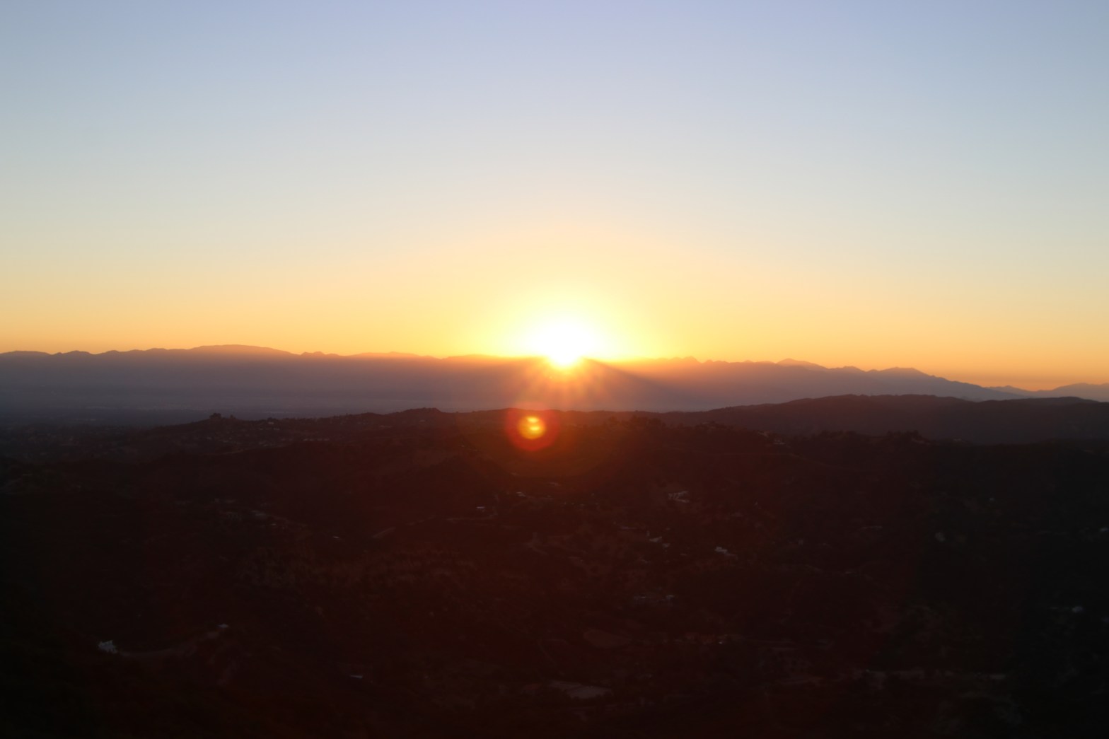
Sunrise on my SOTA career and the San Gabriel Mountains from Calabasas Peak
1 AUGUST 2020 W6/CT-214

| Elevation: | 2,156′ |
| Route: | Fire road and short trail |
| Hike Distance: | 3.6 miles round trip |
| Elevation Gain: | 1,000′ |
| Navigation: | Easy |
| Steepness: | Gentle fire road, moderate trail |
| Vehicle: | Passenger car |
| Road: | Good paved road |
| Cell Coverage: | Good Verizon |
I’d been hearing about the Summits on the Air for a while and when the buzz turned to the SOCAL SOTAFEST on the weekend of August 1st & 2nd 2020 I decided to give activation a try on a local peak here in Topanga.
I first hiked up Calabasas Peak in April of 1969 and have returned dozens of times in the intervening years. I knew that this summit would have good radio “ears” on a lot of summits in the Southern California area.
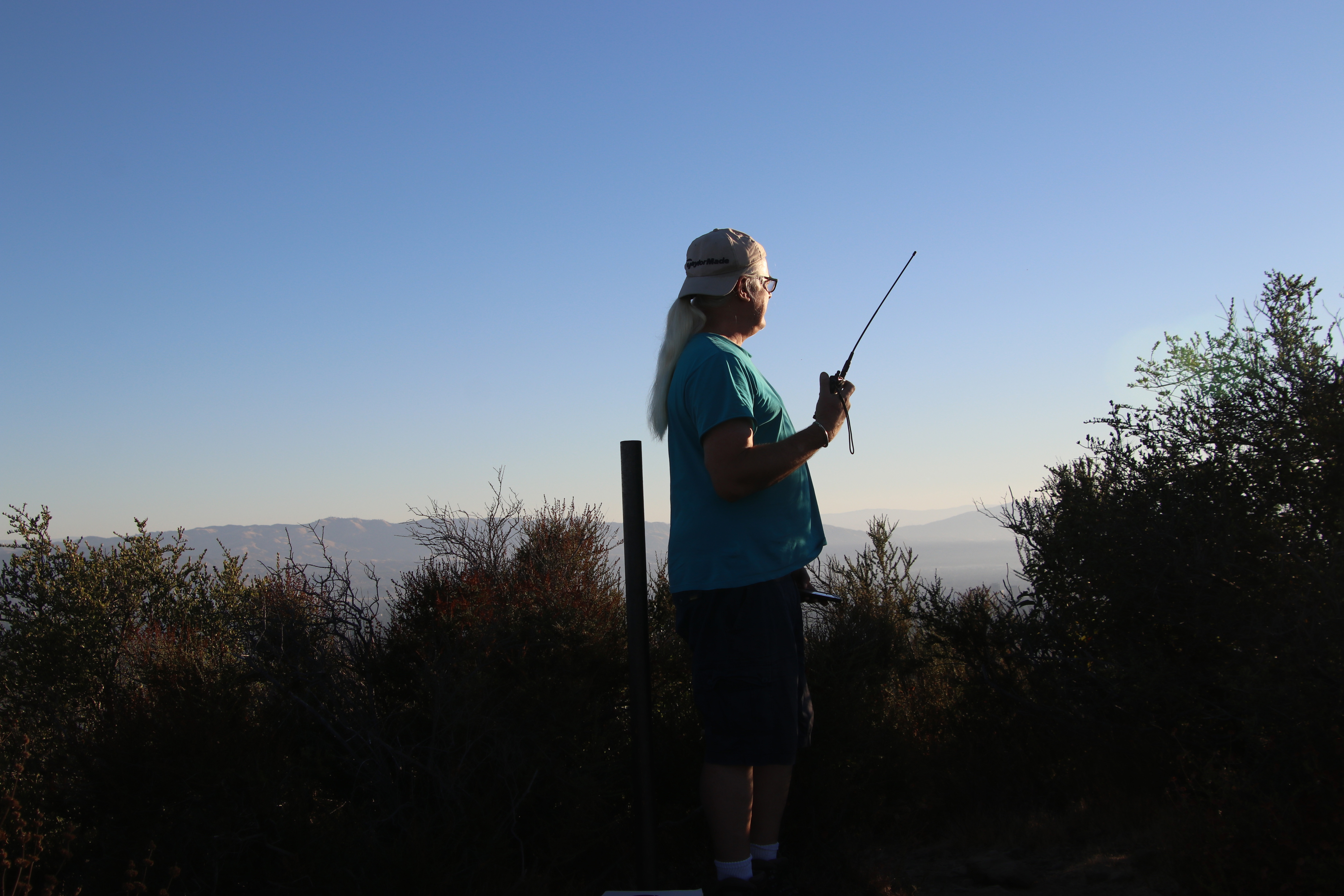
Since the only really portable radios we own are dual band HTs – a pair of ICOM IC-T7H radios that my wife Cassie (KG6MZR) and I first bought when we got out tickets in 2002 – I was going to be limited to UHF/VHF FM.
There are a wide variety of routes up Calabasas Peak. I chose the fireroad that goes up from Stunt Road. Alternately you can go from the top of Old Topanga Road, up Red Rock Canyon off of Old Topanga or one of several trails off Mulholland Highway. The route I took is about 1.8 miles up and has about 1,000′ of elevation gain.
Because of the Covid-19 pandemic I wanted to get on the trail and do all of the uphill without a mask on. Calabasas Peak is quite popular. I started hiking about 5:30 am and was on the summit just after sunrise at 6:30 am without seeing any other hikers.
I made 19 contacts including 3 summit-to-summit contacts with Mt. Gleason, Strawberry Peak and Ladyface. My friend Sarah (N6OPE) was my fourth contact that made my first activation legal. I also made contact with Cassie (KG6MZS) from home in Topanga and my friend Bryce (K6TI) also in the canyon.

One thought on “Calabasas Peak”