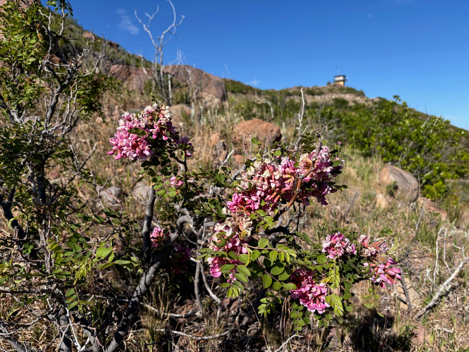
New Mexico Locust (Robinia neomexicana) on the way up to the fire lookout tower in the background.. 24 MAY 2026 W5N/SE-035 Elevation: 8,465′ Route: Fire road Hike Distance: 2 miles round trip Elevation Gain: 375′ Navigation: Easy* Steepness: Gentle Vehicle: High clearance suggested Road: Dirt road Cell Coverage: Excellent Verizon *navigating the forest service roadsContinue reading “Saint Peter’s Dome”
Author Archives: wringmaster
Davenport Hill
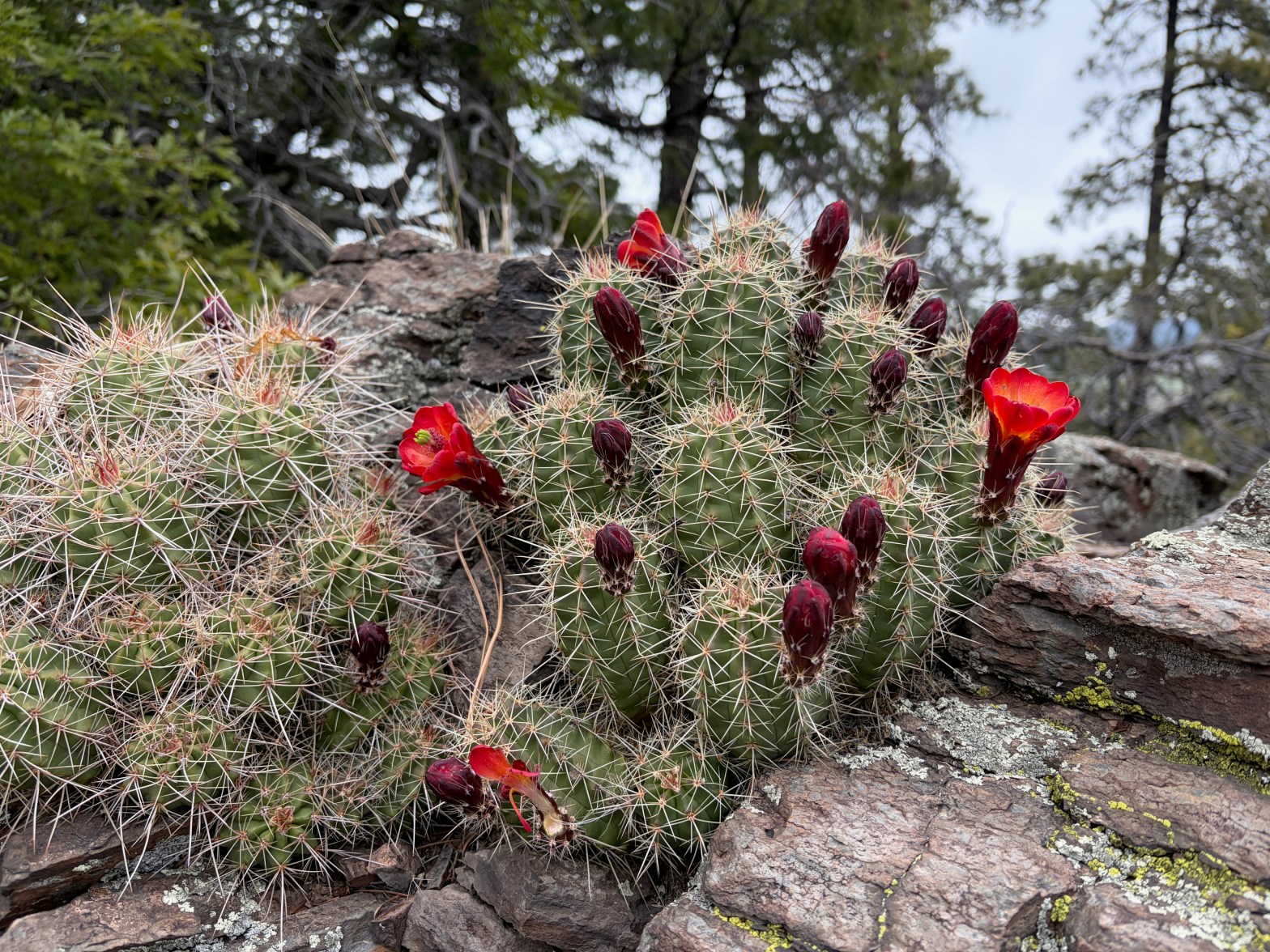
Scarlett Hedgehog just starting to bloom in a rock garden full of this glorious cacti. 25 APRIL 2026 W7A/AE-041 Elevation: 7,808′ Route: Cross country Hike Distance: 1.1 mile round trip Elevation Gain: 650′ Navigation: A bit tricky on the descent Steepness: Gentle to moderate Vehicle: Passenger car* Road: Dirt road Cell Coverage: Excellent Verizon *RoadContinue reading “Davenport Hill”
Willow Springs Butte
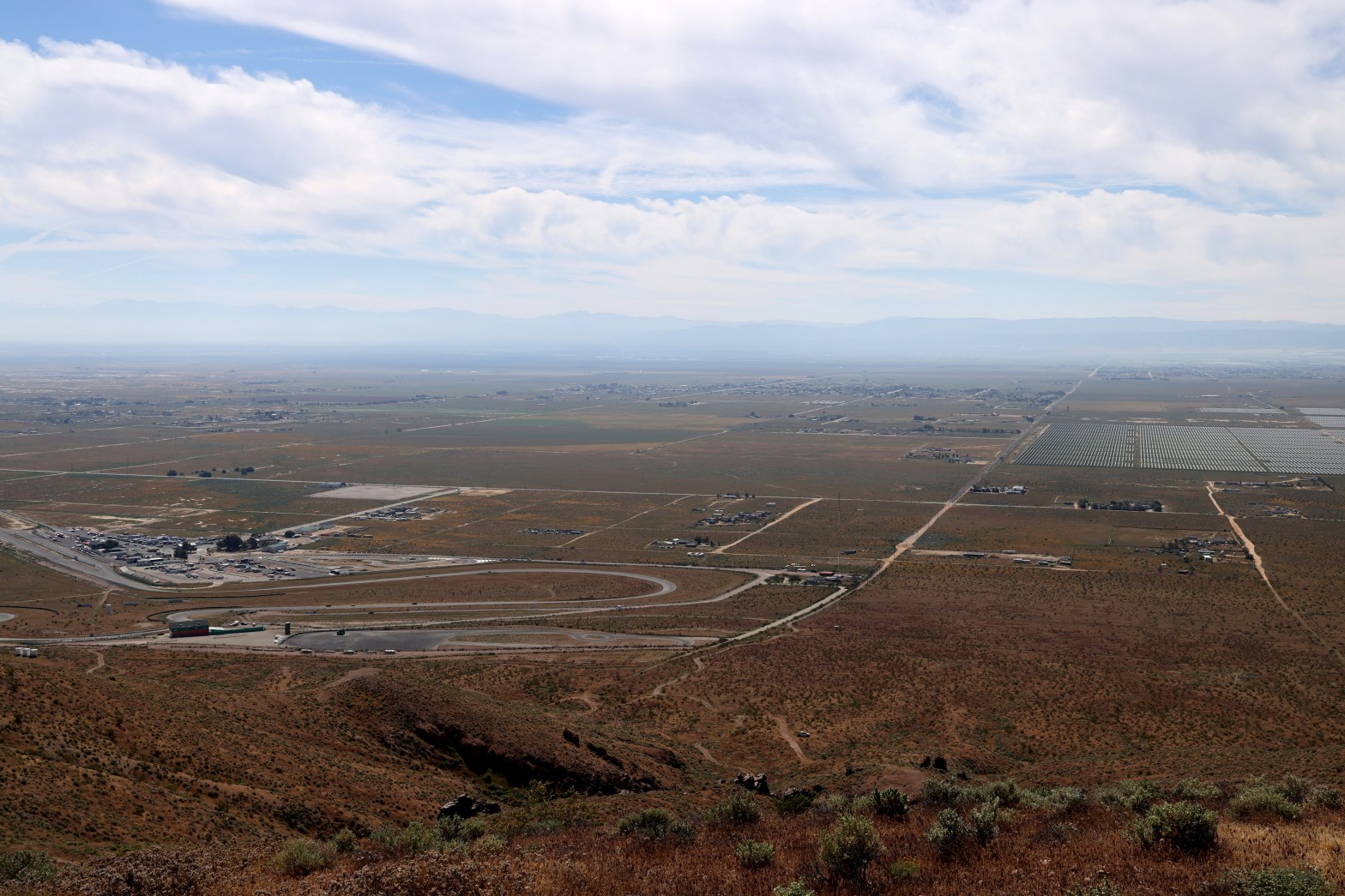
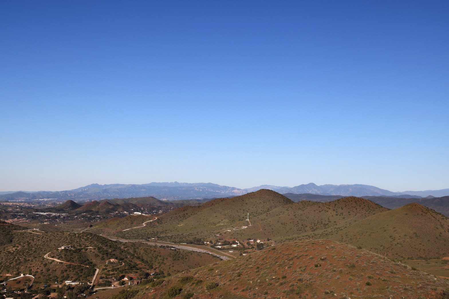
Looking south across the eponymous raceway to the hazy San Gabriel Mountains. Whitedog is visible below. 22 MARCH 2026 W6/ND-328 Elevation: 3,297′ Route: Cross country Hike Distance: .8 miles round trip Elevation Gain: 500′ Navigation: A slight twist* Steepness: Steep Vehicle: Passenger car Road: Good dirt road Cell Coverage: Excellent Verizon Hike basics This entireContinue reading “Willow Springs Butte”
Santa Ynez Peak x2
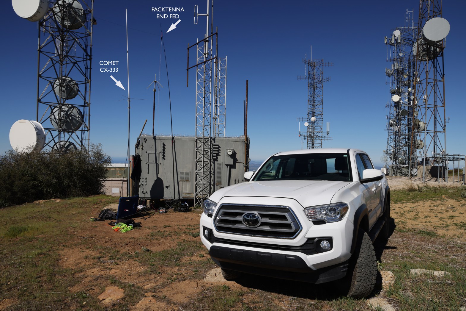
Here’s the 2m SSB station amid all the other communications infrastructure on Santa Ynez Peak. 14 MARCH 2026 W6/CC-036 Elevation: 4,298′ Route: Drive-up Hike Distance: n/a Elevation Gain: n/a Navigation: easy Steepness: n/a Vehicle: Passenger car* Road: Mostly paved. 1/2 mile dirt Cell Coverage: Excellent Verizon *The dirt section is rough but nothing an averageContinue reading “Santa Ynez Peak x2”
Summit 3,784′ “Nellie’s Mountain”
Looking west to some of my favorite summits in Ventura County: Santa Paula Peak, Hines Peak and Cobblestone Mt. 8 MARCH 2026 W6/CT-169 Elevation: 3,784′ Route: Equestrian trails Hike Distance: 2 miles round trip Elevation Gain: 400′ Navigation: Easy Steepness: Moderate* Vehicle: Passenger car Road: Paved road Cell Coverage: Excellent Verizon *Short steep section easilyContinue reading “Summit 3,784′ “Nellie’s Mountain””
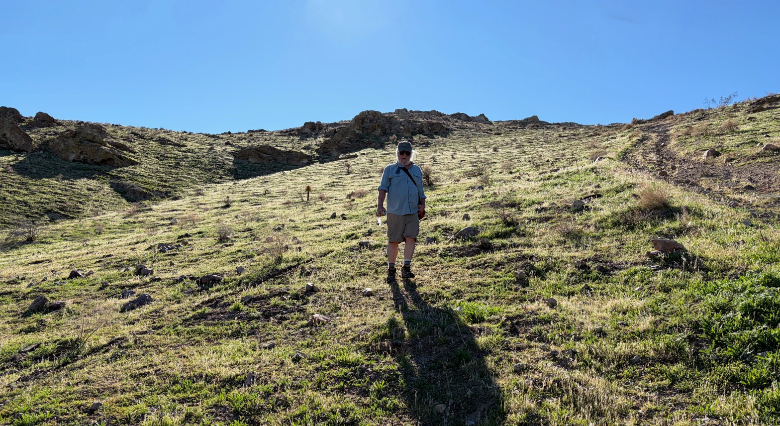
La Mesita
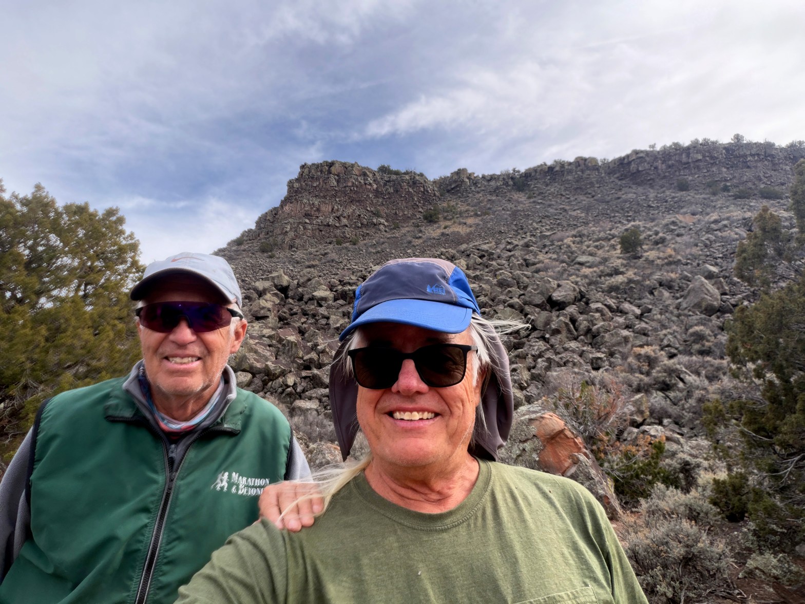
Venerable SOTA Goat Fred KT5X showing the new guy the ropes. La Mesita behind us. 16 FEBRUARY 2026 W5N/SS-039 Elevation: 7,024′ Route: Cross country Hike Distance: 1.6 miles round trip Elevation Gain: 400′ Navigation: Tricky Steepness: Steep gaining the mesa Vehicle: Passenger car Road: Good dirt road* Cell Coverage: Excellent Verizon * When dry! EverContinue reading “La Mesita”
Colorado Peak
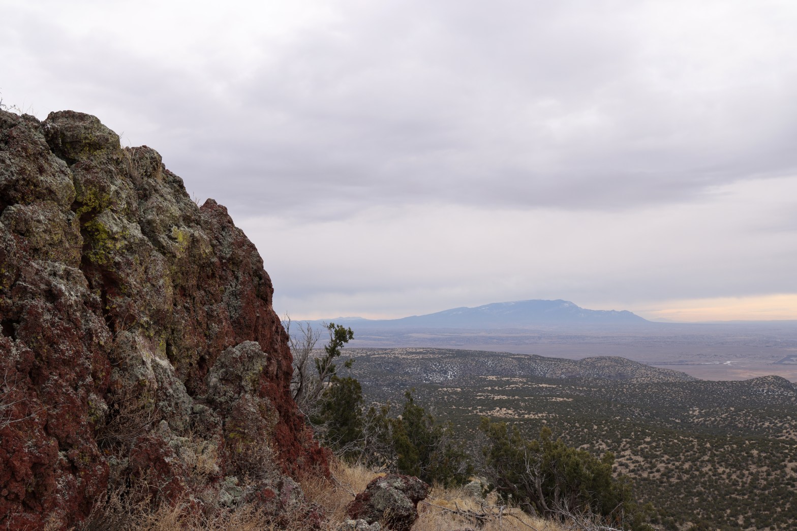
Looking south to the Sandia Crest. 7 FEBRUARY 2026 W5N/SE-050 Elevation: 7,306′ Route: Cross country Hike Distance: 1 mile round trip Elevation Gain: 325′ Navigation: Easy Steepness: Mild Vehicle: High clearance, all terrain tires recommended Road: Dirt road Cell Coverage: Excellent Verizon Hike basics After doing Tetilla in the morning, I felt like exploring theContinue reading “Colorado Peak”
Tetilla Peak
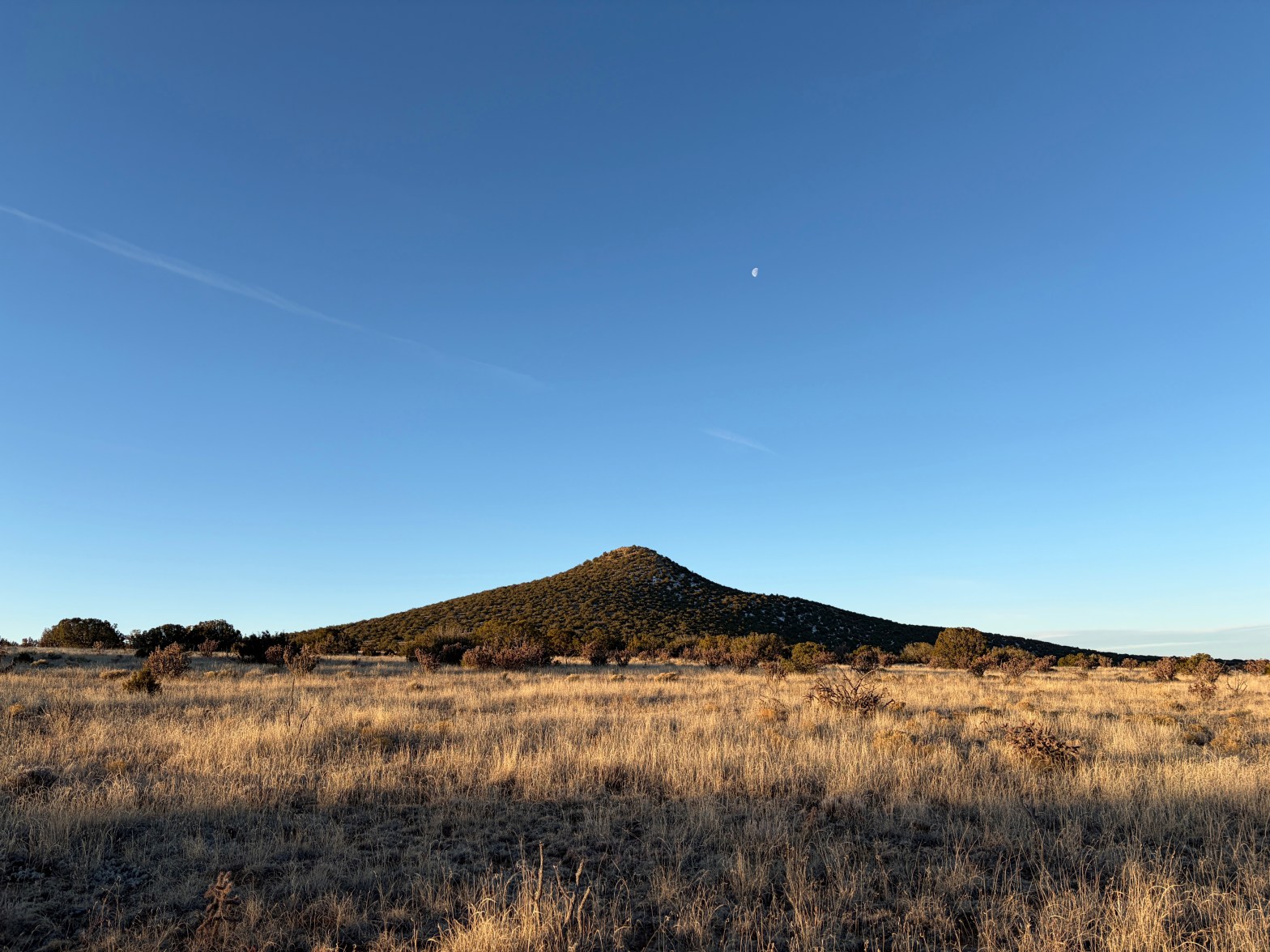
Tetilla Mountain at dawn looking very much like its namesake 7 FEBRUARY 2026 W5N/SE-044 Elevation: 7,201′ Route: Cross country Hike Distance: 1.75 miles round trip* Elevation Gain: 525′ Navigation: Easy Steepness: Moderate Vehicle: High clearance, all terrain tires recommended Road: Dirt road Cell Coverage: Excellent Verizon Your mileage will vary depending on where you park.Continue reading “Tetilla Peak”
Caja del Rio Plateau
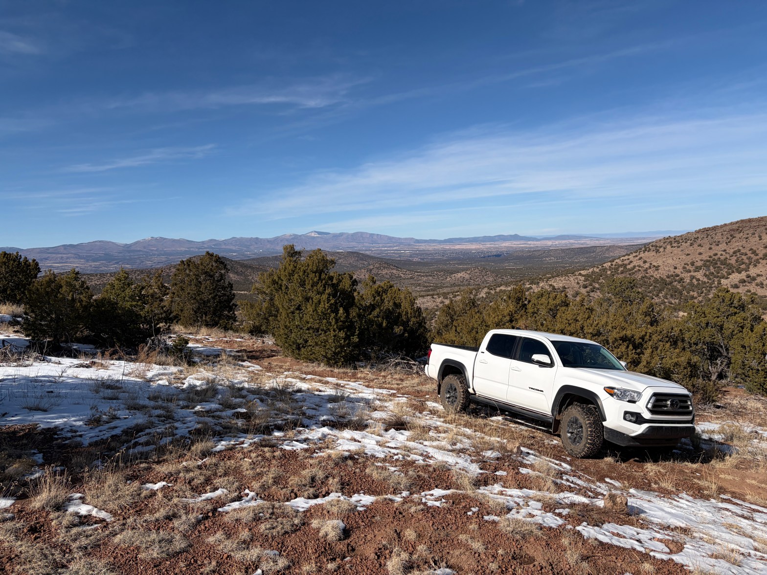
An exciting drive, Whitedog waits in front of a northwest view of Parajito, Chicoma, Clara and Roman above Los Alamos. 1 FEBRUARY 2026 W5N/SE-037 Elevation: 7,470” Route: Cross country Hike Distance: .5 miles round trip Elevation Gain: 100′ Navigation: Easy* Steepness: Gentle Vehicle: High clearance 4WD with all terrain tires** Road: Rocky Cell Coverage: GoodContinue reading “Caja del Rio Plateau”
Rosamond Hills HP
☆☆☆☆ It’s a shame that this lovely hike is so precarious due to wild ranging target shooters. This summit might garner 2 stars otherwise.
