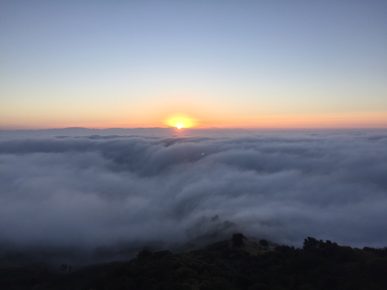
Sunrise over the stratus of the marine layer covering the Los Angeles Basin
5 AUGUST 2020 W6/CT-104

| Elevation: | 2,831′ |
| Route: | Trail |
| Hike Distance: | 1.7 miles round trip |
| Elevation Gain: | 500′ |
| Navigation: | Easy |
| Steepness: | Gentle |
| Vehicle: | Passenger car |
| Road: | Paved road |
| Cell Coverage: | Good Verizon |
After my first activation on the previous weekend, I was excited about the prospect of activating another mountain soon. Just up the hill from where we live is Saddle Peak, so Wednesday before it was light I made my way up the mountain through a dense marine layer of fog. At times I could barely see past the hood of my car.
There were no cars at the trailhead and I had the quiet trail to myself. The hike is a short one: about .8 miles one way and 500′ of elevation gain. The Backbone Trail wends it’s way through sedimentary rock formations and a forest of Coast Live Oak. I heard the distinctive spiraling song of the Canyon Wren in the foggy dawn.
Soon I broke out of the fog and I was floating on a chaparral raft in a sea of fleecy white clouds. I made contact with 13 people, again all on 2m FM due to my limited gear. Among those contacts were several people I know including Scott – WA9STI – an experienced Mountain Goat who shared some invaluable tips and tricks with me on summit activation.
I also managed a QSO with another hiker over on Brown Mountain – Brian – WA6JFK. I first met Brian shakily calling CQ for the first time when I first got my license in 2002. He was my very first contact on amateur radio!


One thought on “Saddle Peak”