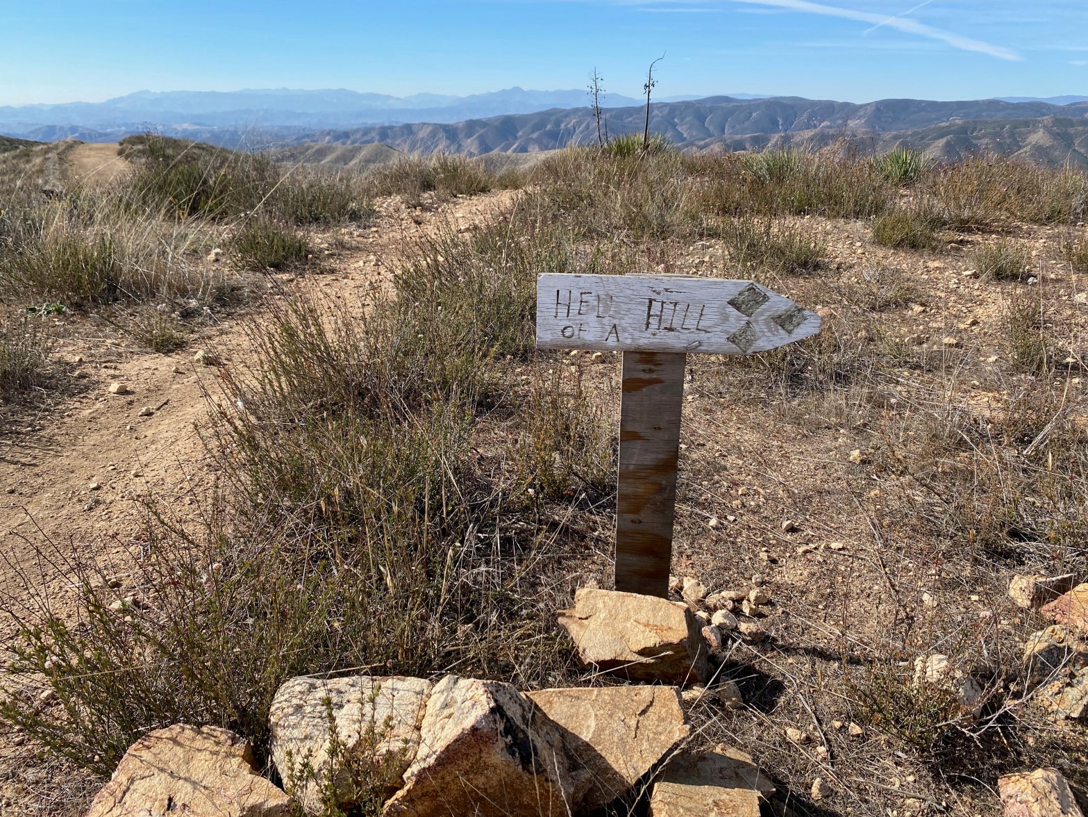
This sign isn’t kidding. The last half mile of this route is steep! 4 NOVEMBER 2023 W6/CT-271 Elevation: 3,094′ Route: Fire road and motorcycle track Hike Distance: 3.5 miles round trip Elevation Gain: 550′ in and 100′ on the return Navigation: Easy Steepness: Extremely steep at the end Vehicle: Passenger car Road: Good dirt roadContinue reading “Burn Benchmark #2”
-
Subscribe
Subscribed
Already have a WordPress.com account? Log in now.
