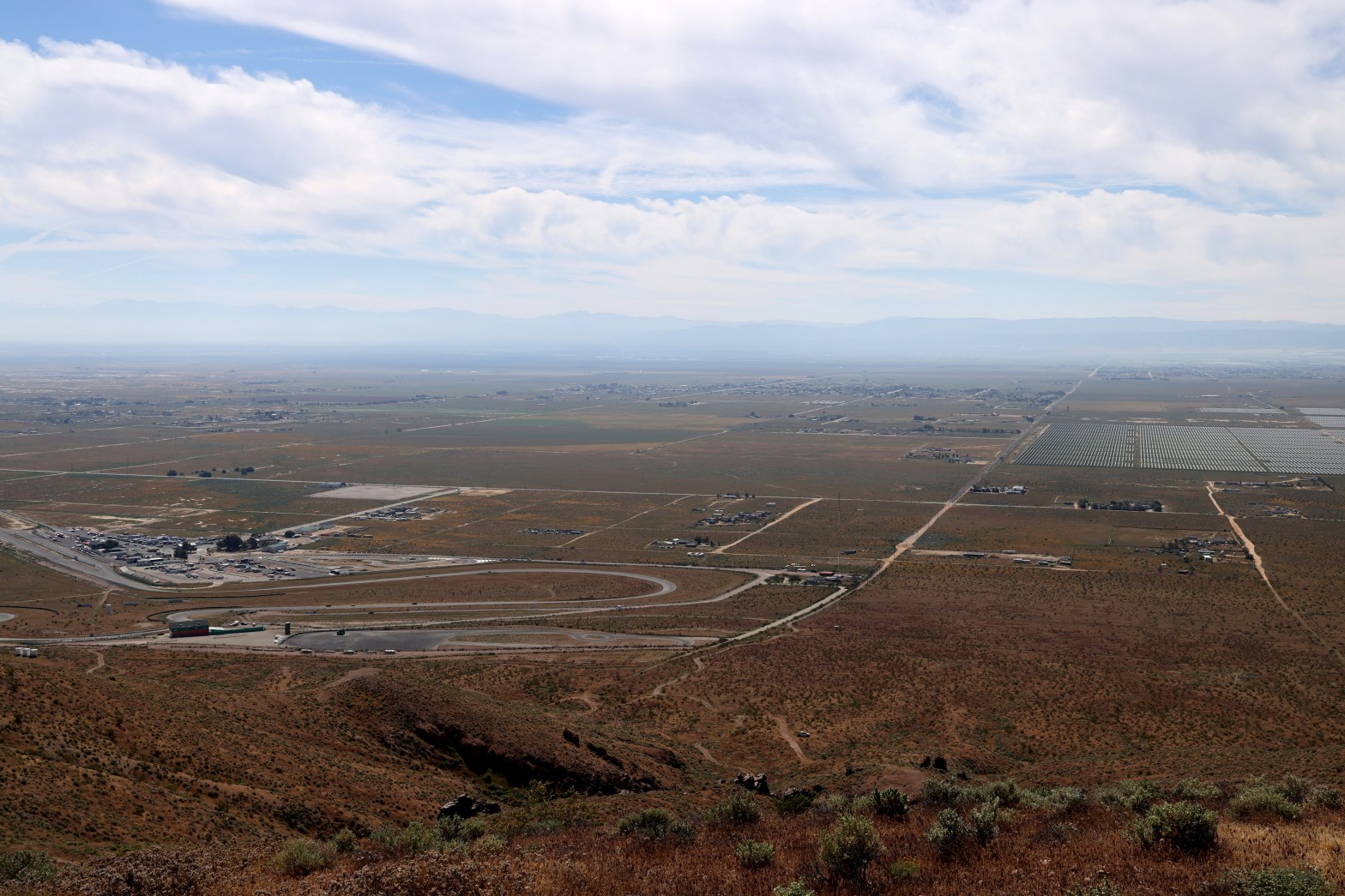
Looking south across the eponymous raceway to the hazy San Gabriel Mountains. Whitedog is visible below. 22 MARCH 2026 W6/ND-328 Elevation: 3,297′ Route: Cross country Hike Distance: .8 miles round trip Elevation Gain: 500′ Navigation: A slight twist* Steepness: Steep Vehicle: Passenger car Road: Good dirt road Cell Coverage: Excellent Verizon Hike basics This entireContinue reading “Willow Springs Butte”
Monthly Archives: March 2026
Santa Ynez Peak x2
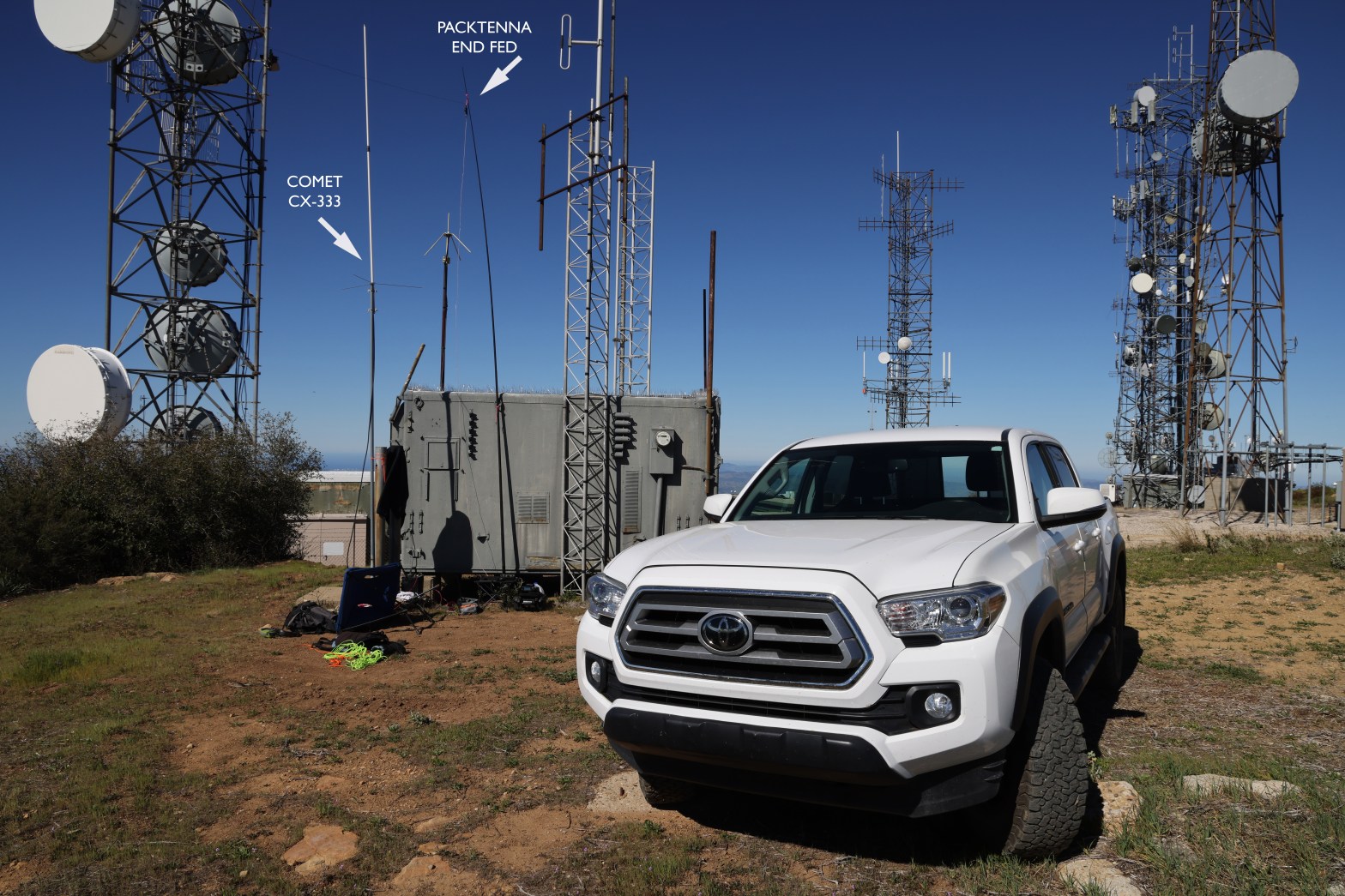
Here’s the 2m SSB station amid all the other communications infrastructure on Santa Ynez Peak. 14 MARCH 2026 W6/CC-036 Elevation: 4,298′ Route: Drive-up Hike Distance: n/a Elevation Gain: n/a Navigation: easy Steepness: n/a Vehicle: Passenger car* Road: Mostly paved. 1/2 mile dirt Cell Coverage: Excellent Verizon *The dirt section is rough but nothing an averageContinue reading “Santa Ynez Peak x2”
Summit 3,784′ “Nellie’s Mountain”
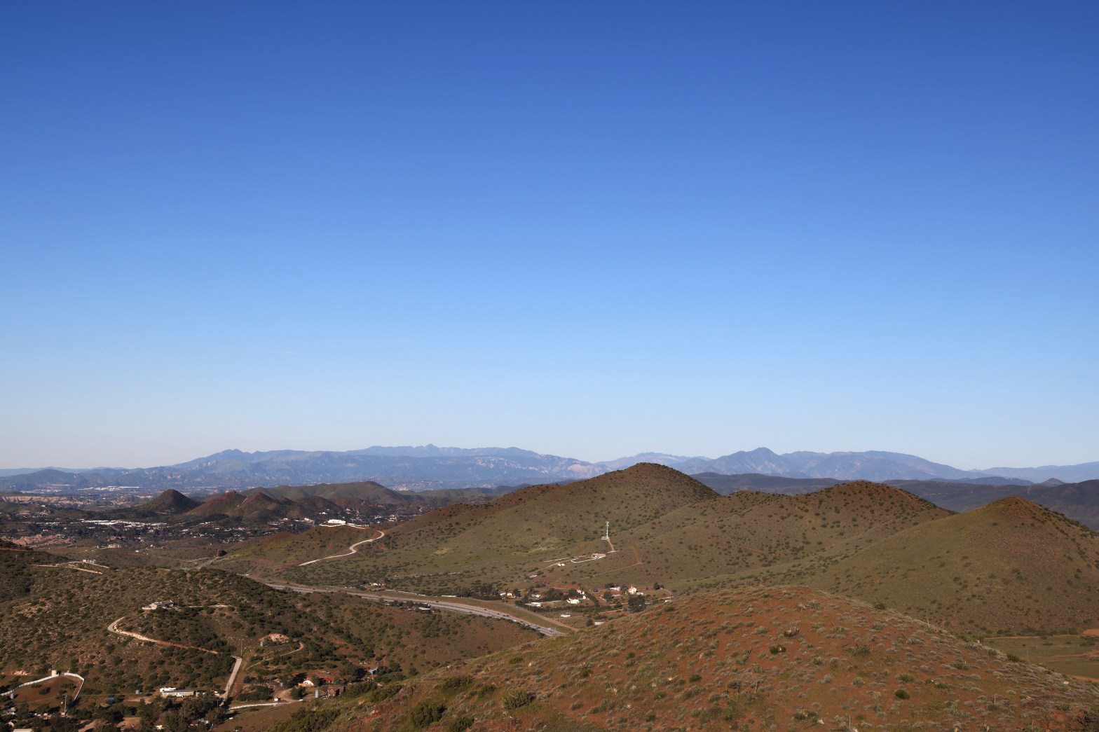
Looking west to some of my favorite summits in Ventura County: Santa Paula Peak, Hines Peak and Cobblestone Mt. 8 MARCH 2026 W6/CT-169 Elevation: 3,784′ Route: Equestrian trails Hike Distance: 2 miles round trip Elevation Gain: 400′ Navigation: Easy Steepness: Moderate* Vehicle: Passenger car Road: Paved road Cell Coverage: Excellent Verizon *Short steep section easilyContinue reading “Summit 3,784′ “Nellie’s Mountain””
