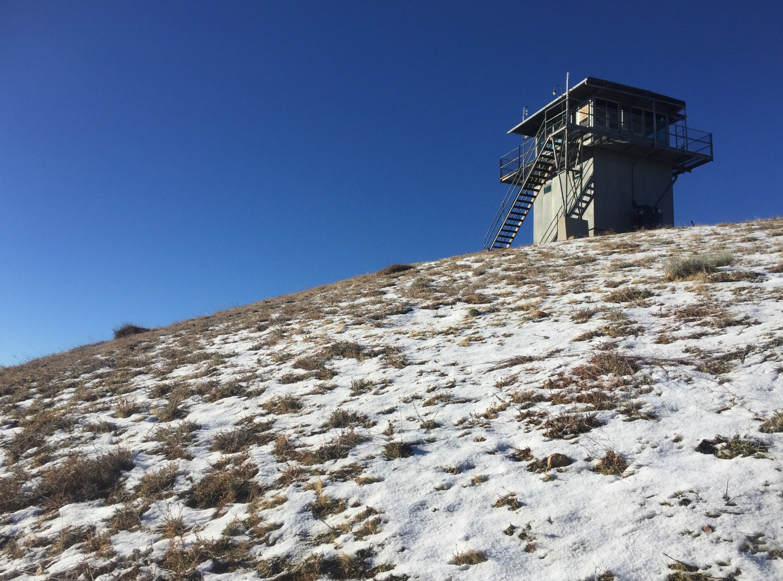
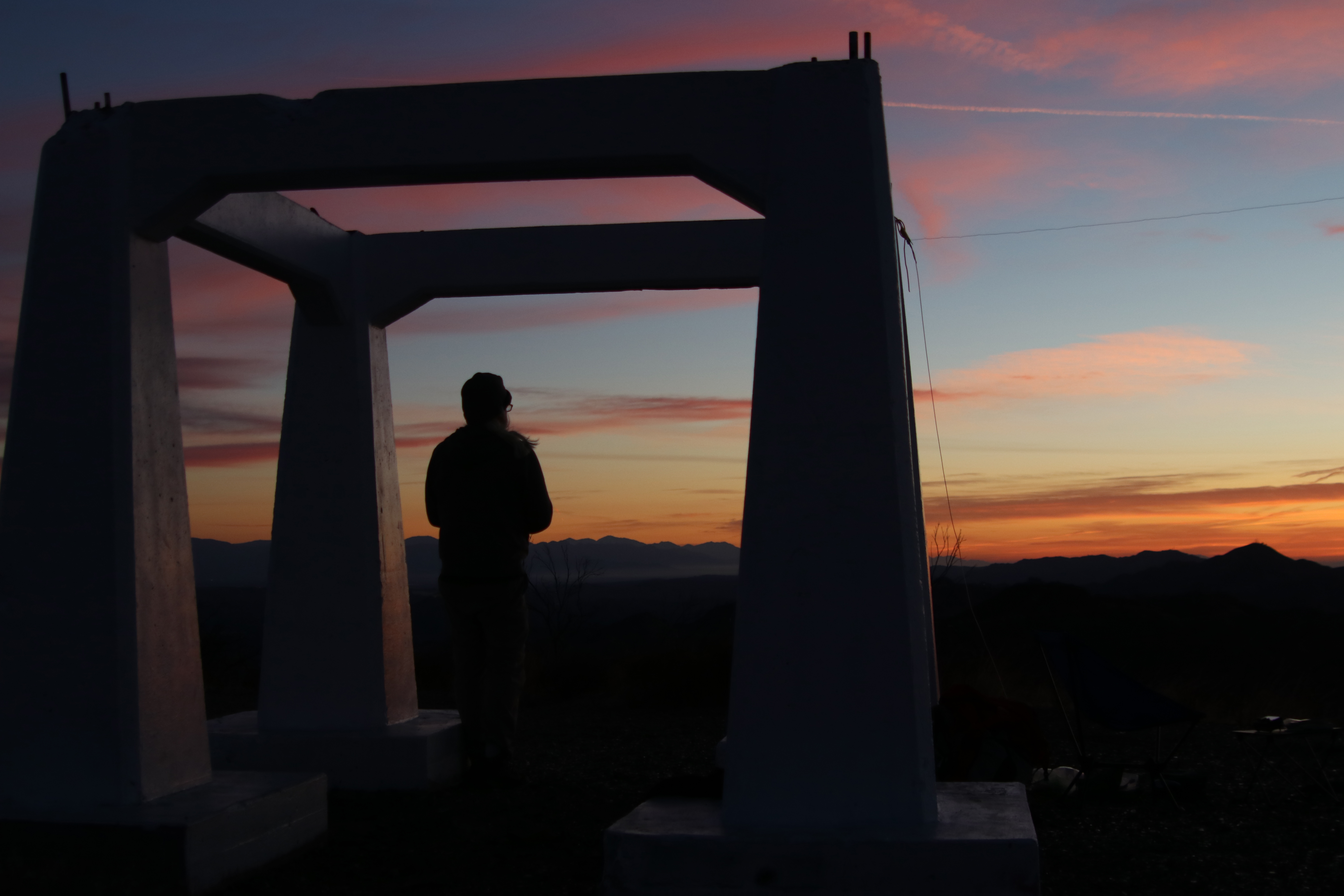
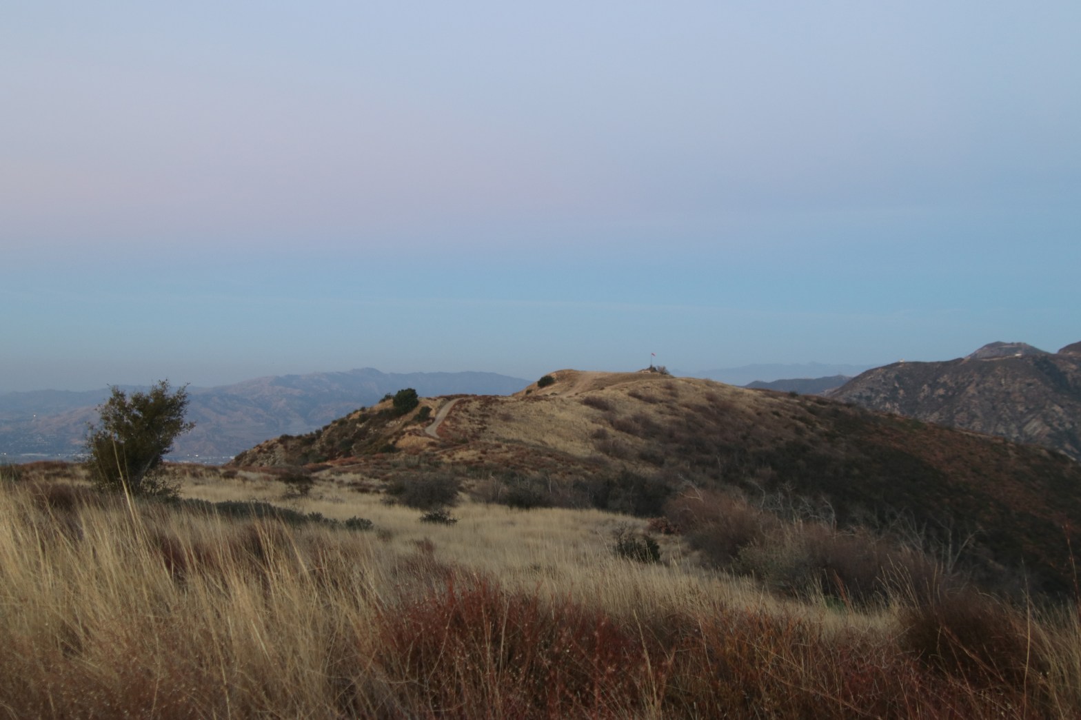
The Slide Mountain fire lookout tower is one of the very few that is still maintained
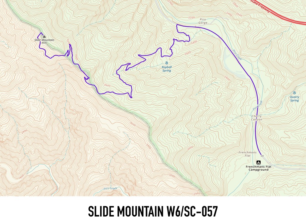
30 JANUARY 2021 W6/SC-057
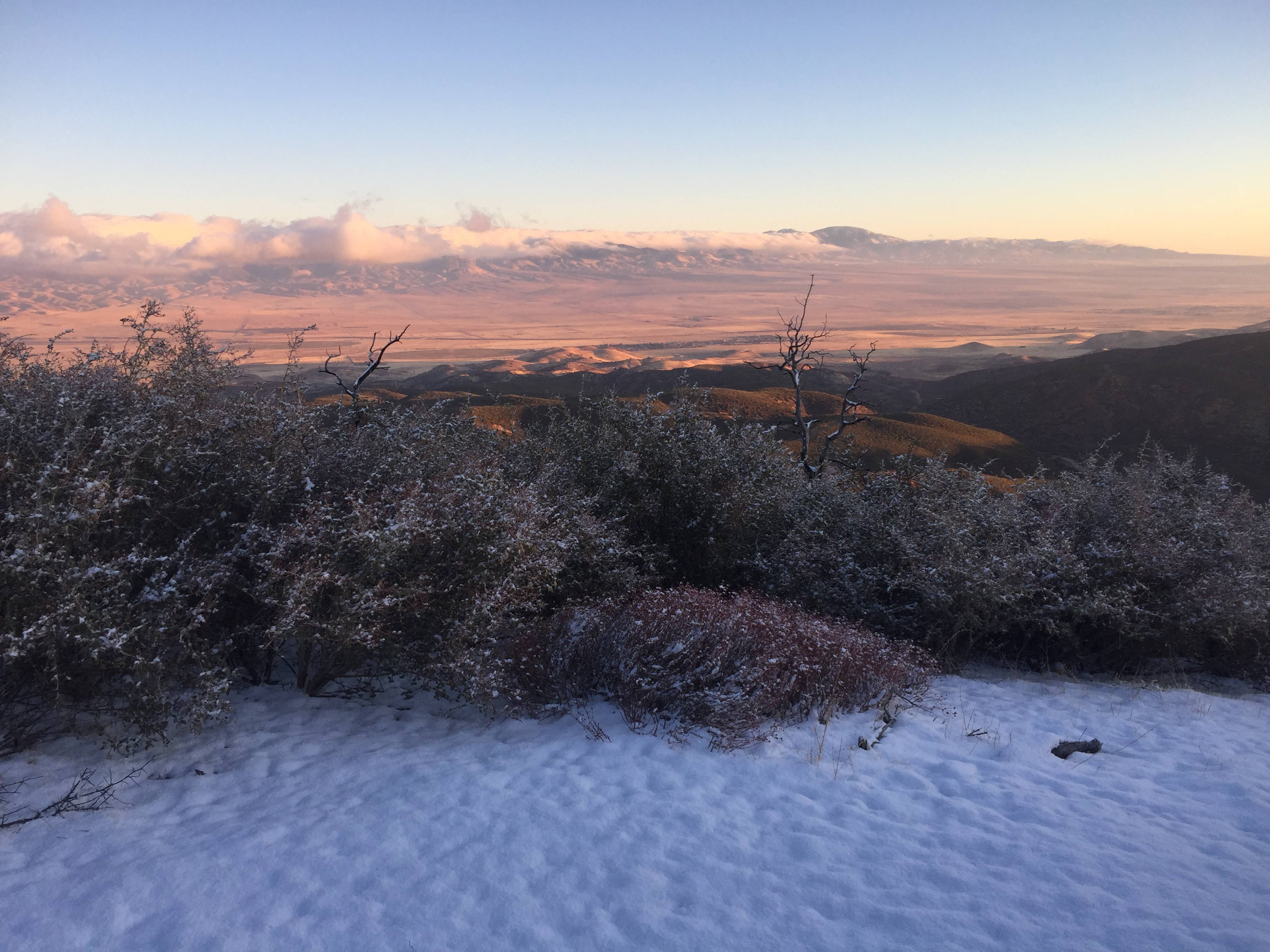
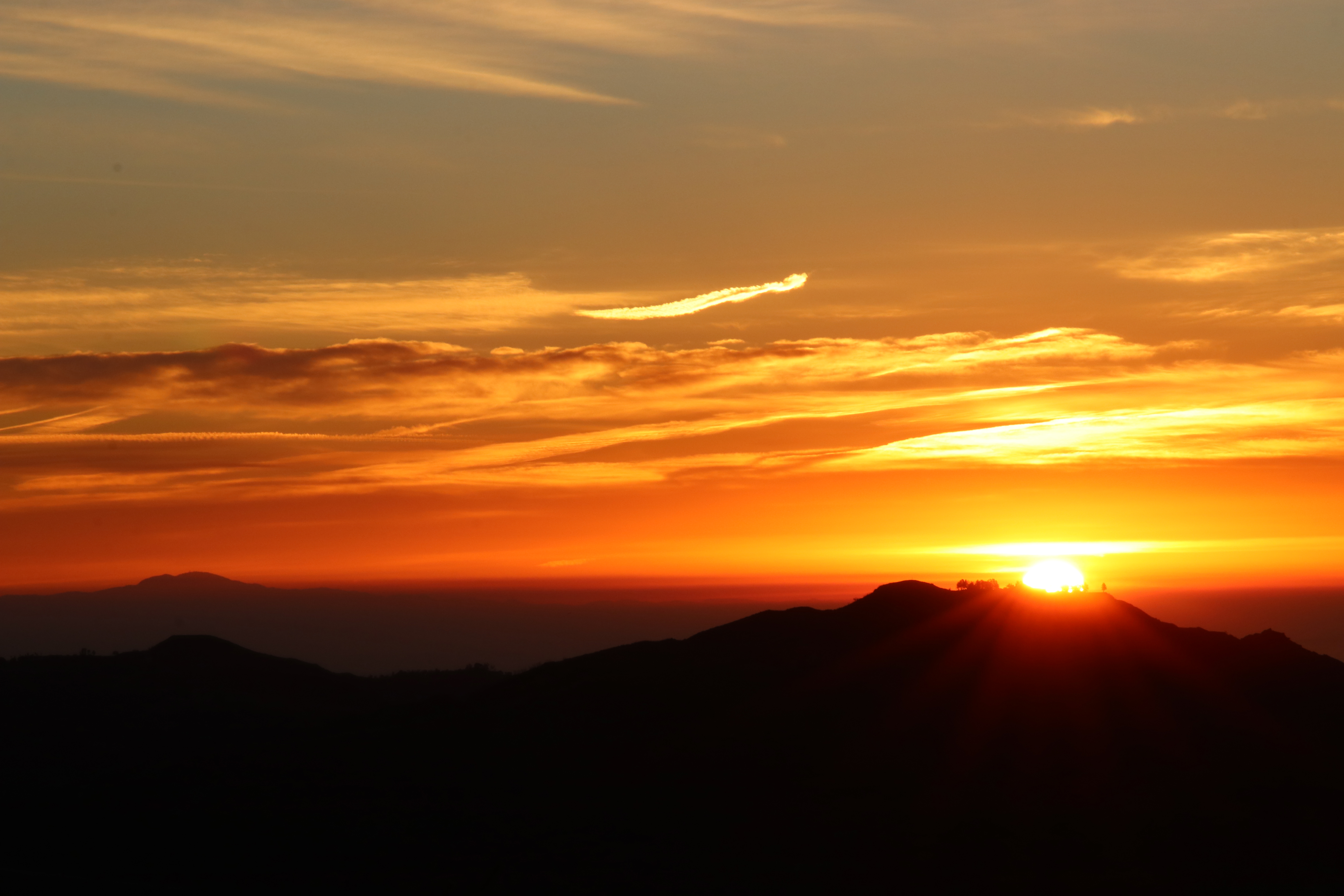
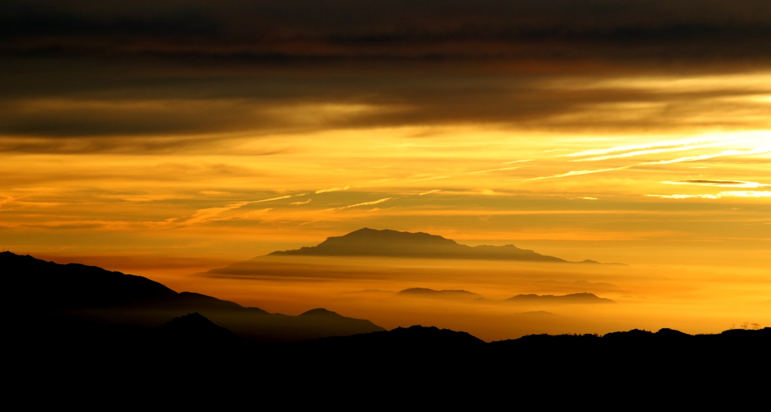
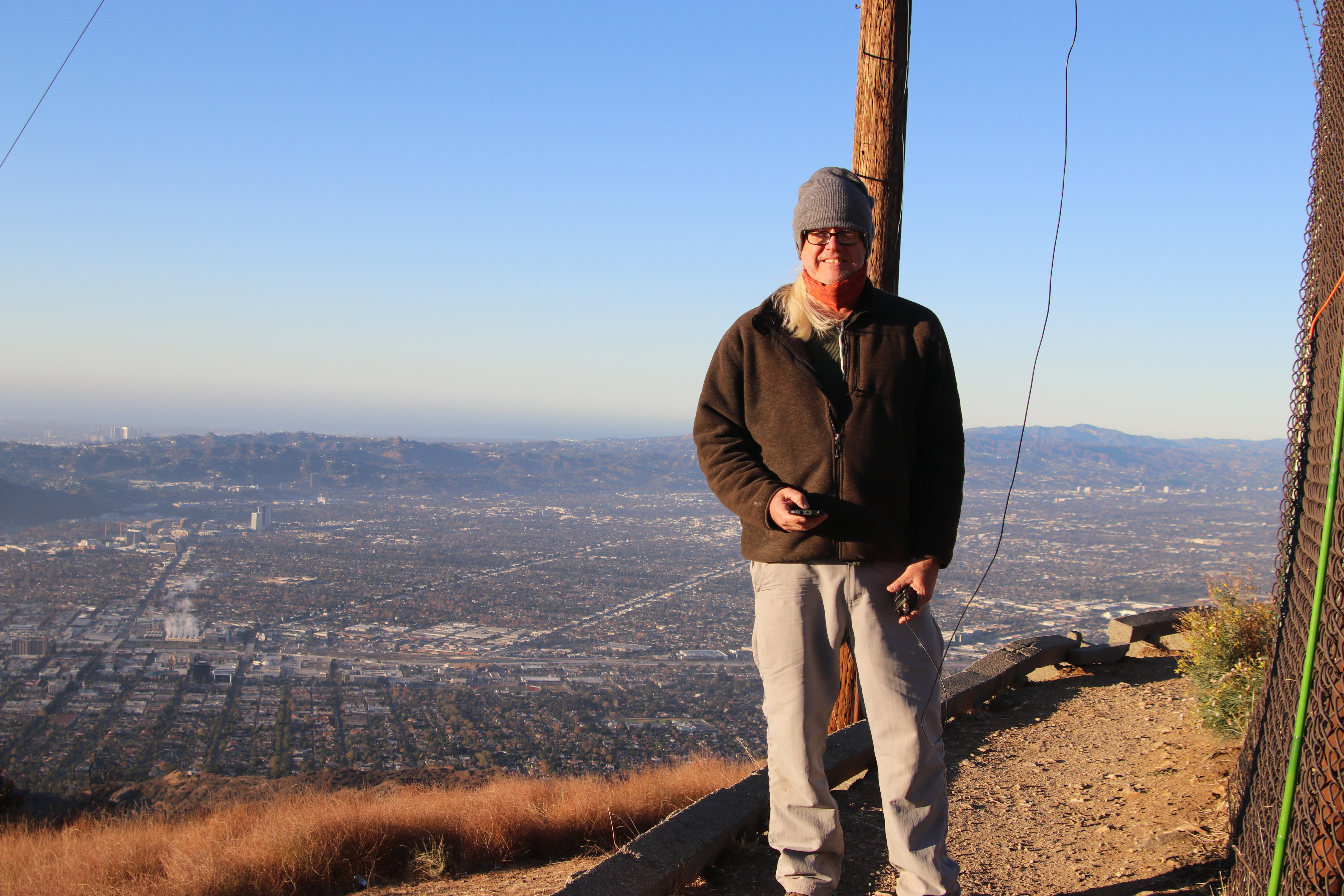
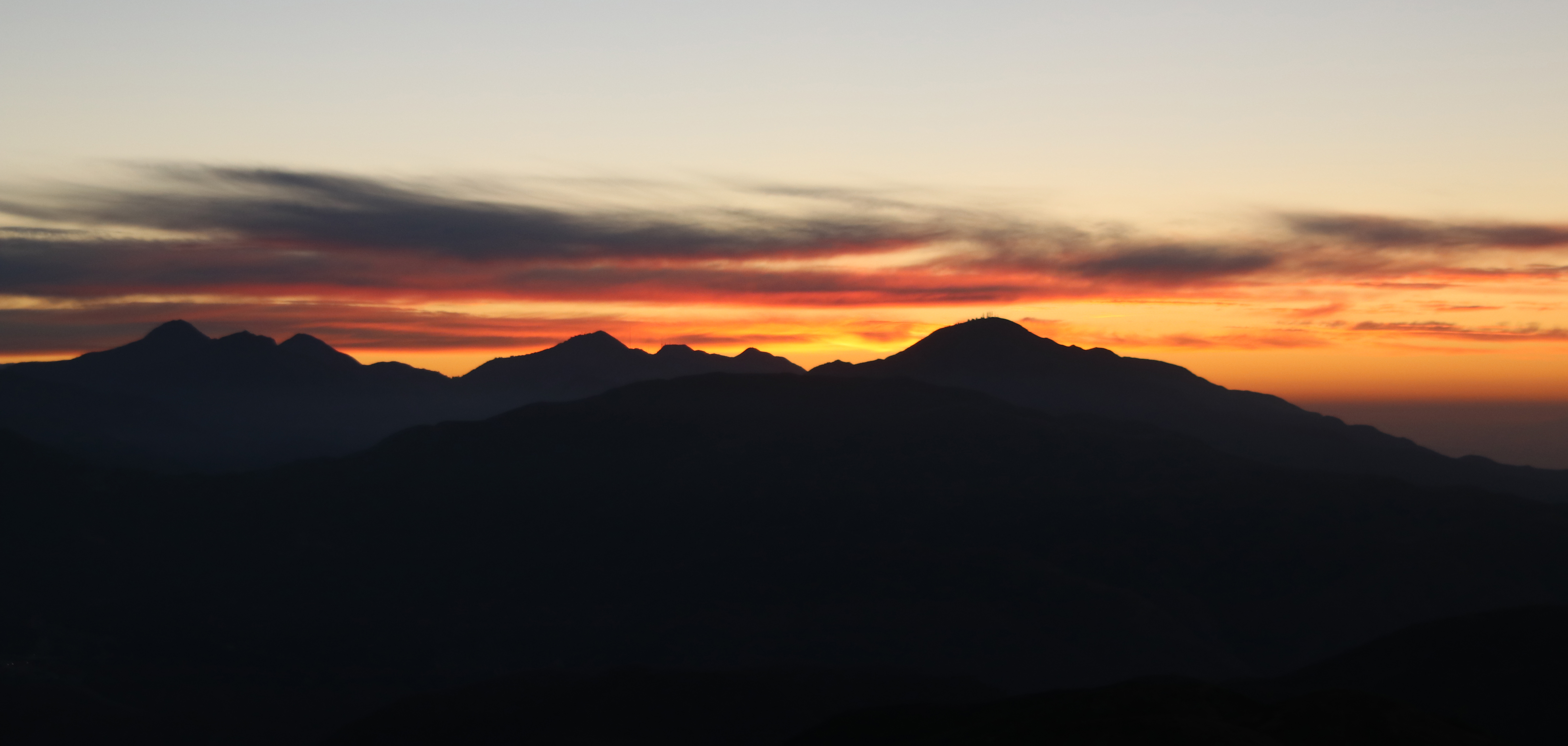
After last weekend’s lark up Liebre Mountain I was raring to go for another winter activation. I decided at the last minute to go for a close neighbor to Liebre: Slide Mountain. My last trip up this mountain was 27 years ago with my faithful mountain dog, Chauncey Gardener.
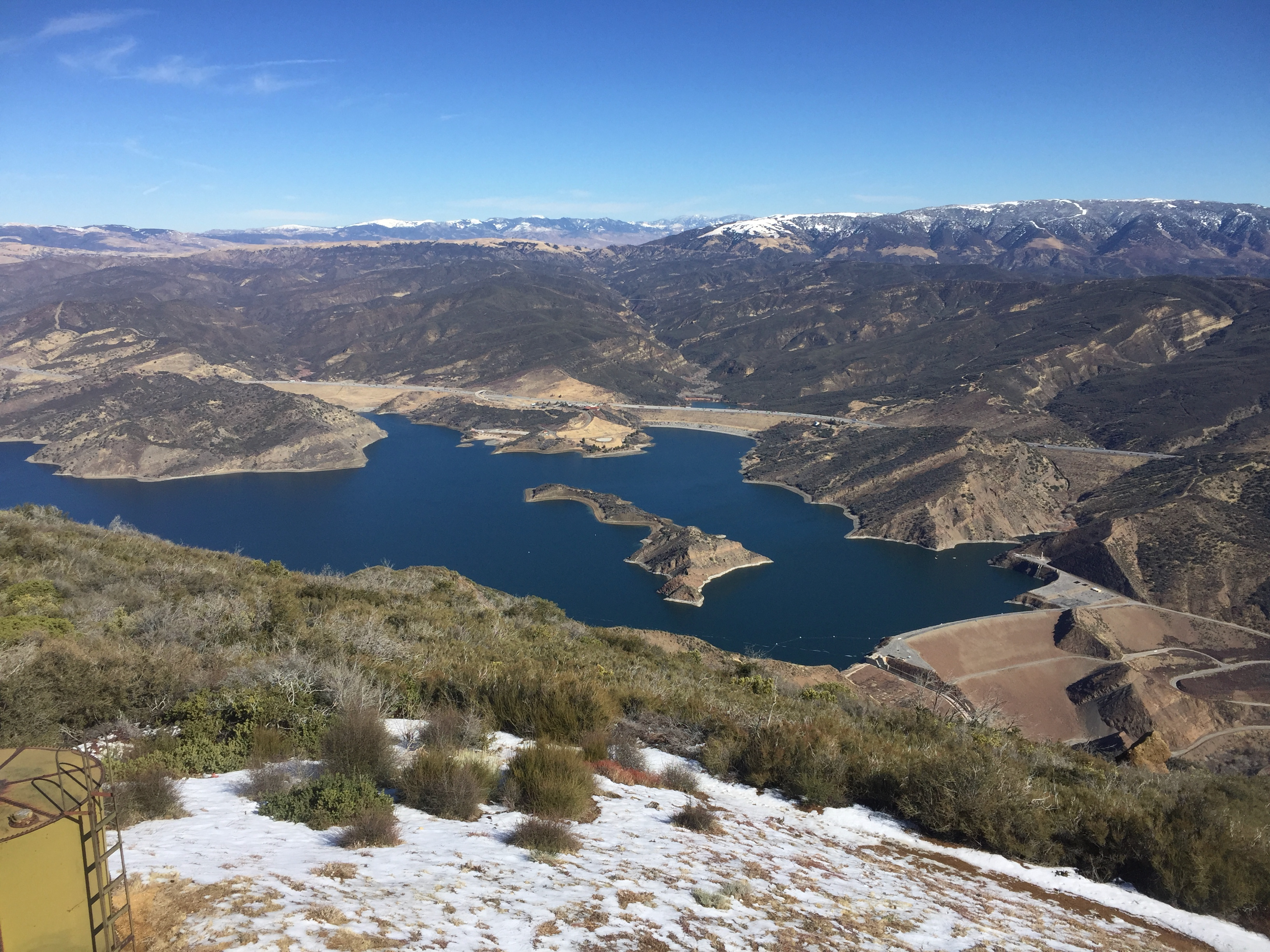
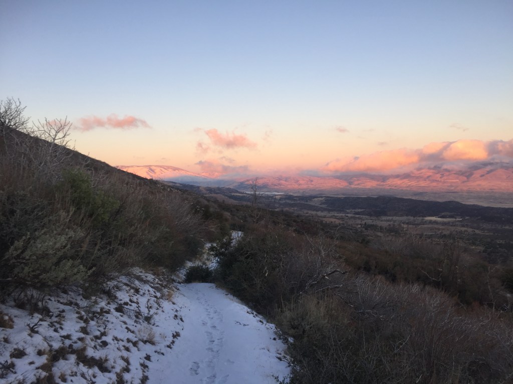
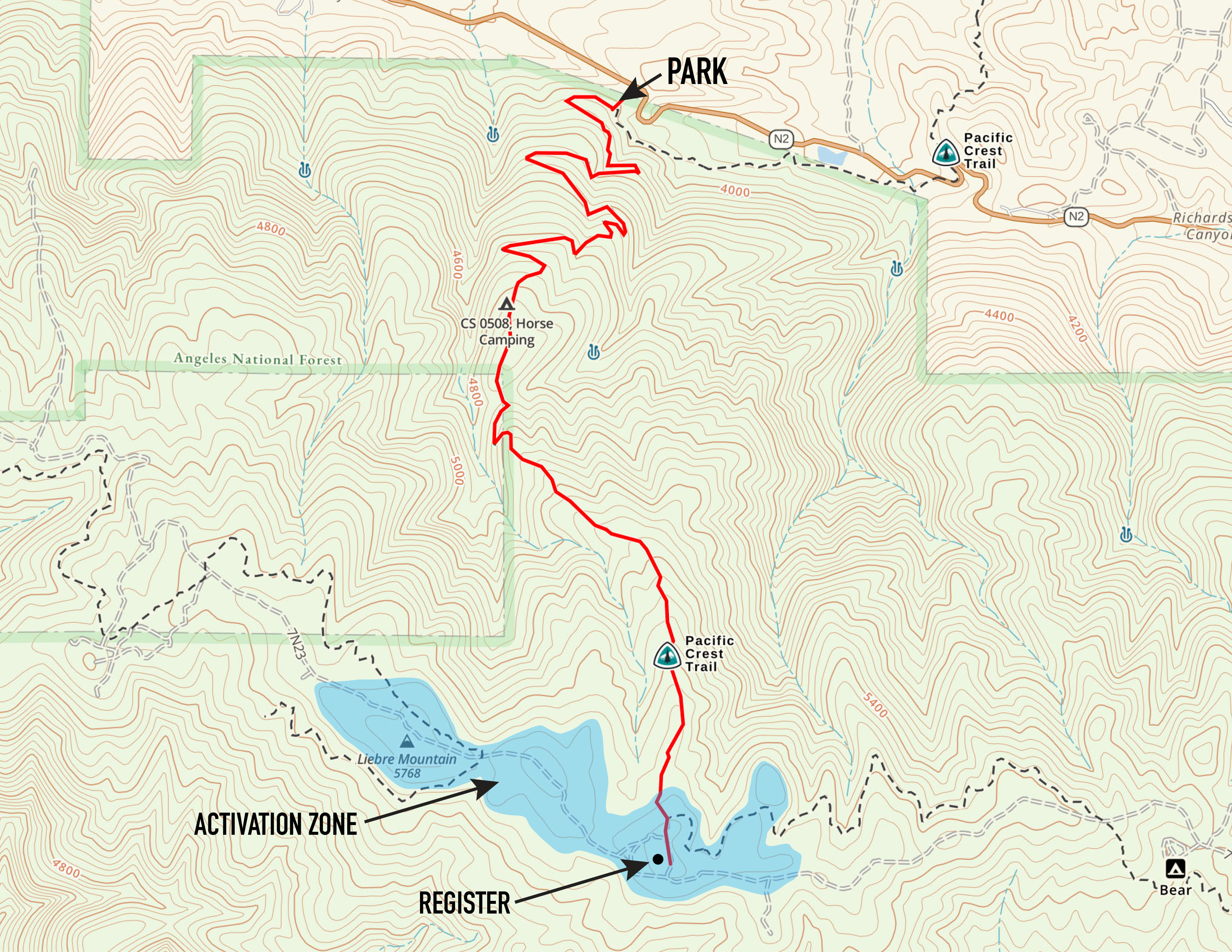
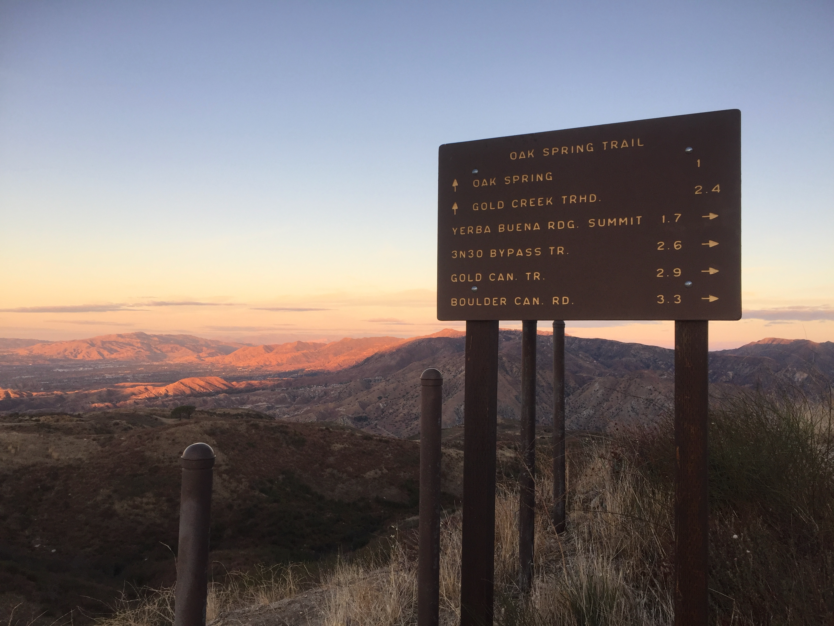
It’s a funny start to this trip in that you drive up a section of old Highway 5 to Frenchmen’s Flat where the decrepit four lane highway is gated. Parking here, the route follows the old highway for the first 1.65 miles. Here is a bit about the history of the highway. Before Europeans arrived in California, this track was the obvious trading route between the Tongva people of the Los Angeles Basin and the Yokuts of the Great Central Valley. The first real road was the notoriously twisty “Ridge Route” and Grapevine. That crazy road can still be found up on the eastern ridge of Piru Gorge. The next major incarnation if the road was the four lane highway on this route to Slide Mountain. This was the road the my family followed pulling a rented house trailer for our yearly vacations to Yosemite Valley in the late 50’s. For this reason, this old thoroughfare is sweetly nostalgic and evocative to me, as artifacts can be. The old road now runs smack into Pyramid Lake and dam that was built in 1972 and is now largely underwater.
Today the I-5 is a massive 10 lane monument to earth-moving that makes the torturous trek the Jobes made in “The Grapes of Wrath” in days into a half-hour jaunt at 80 mph.

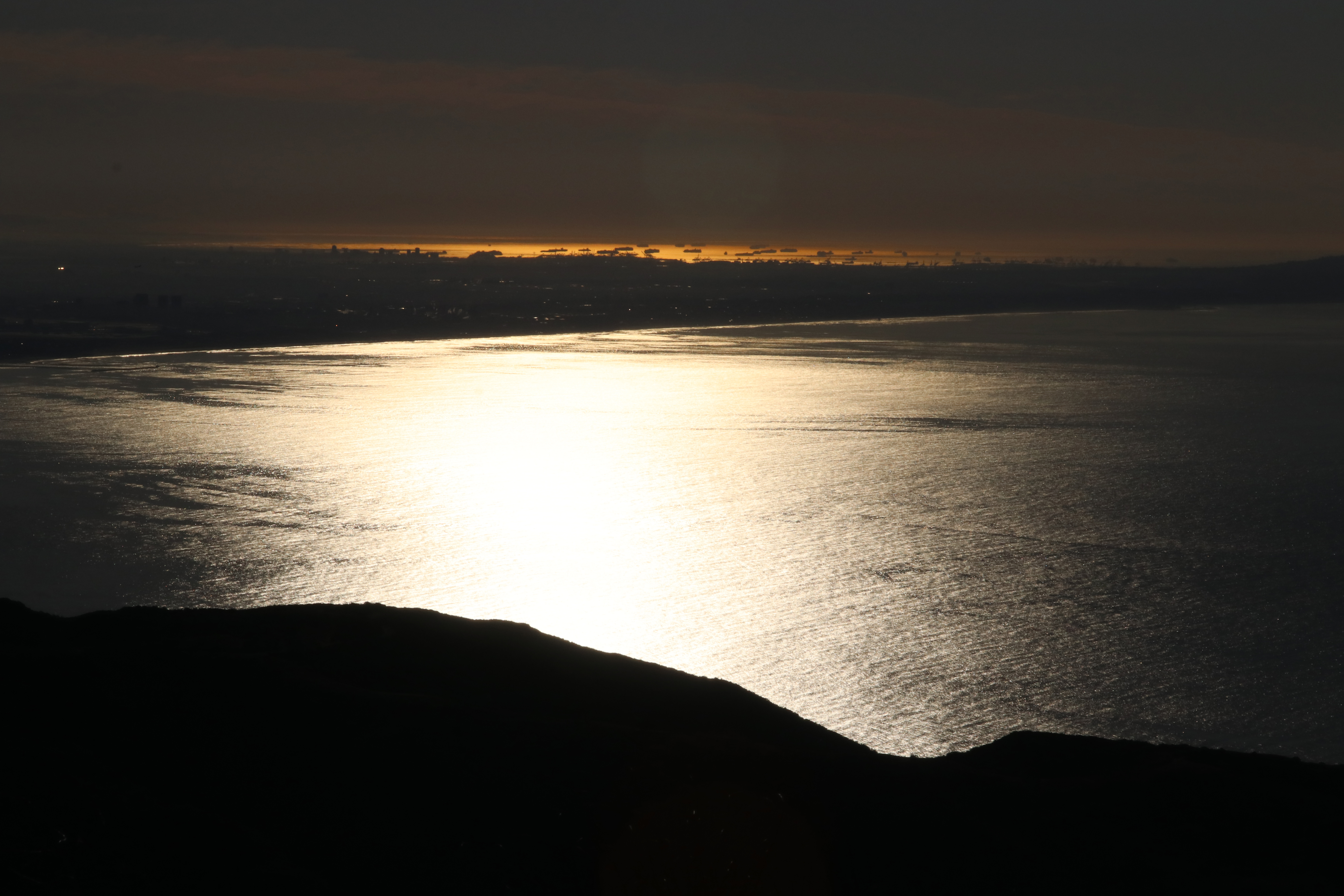
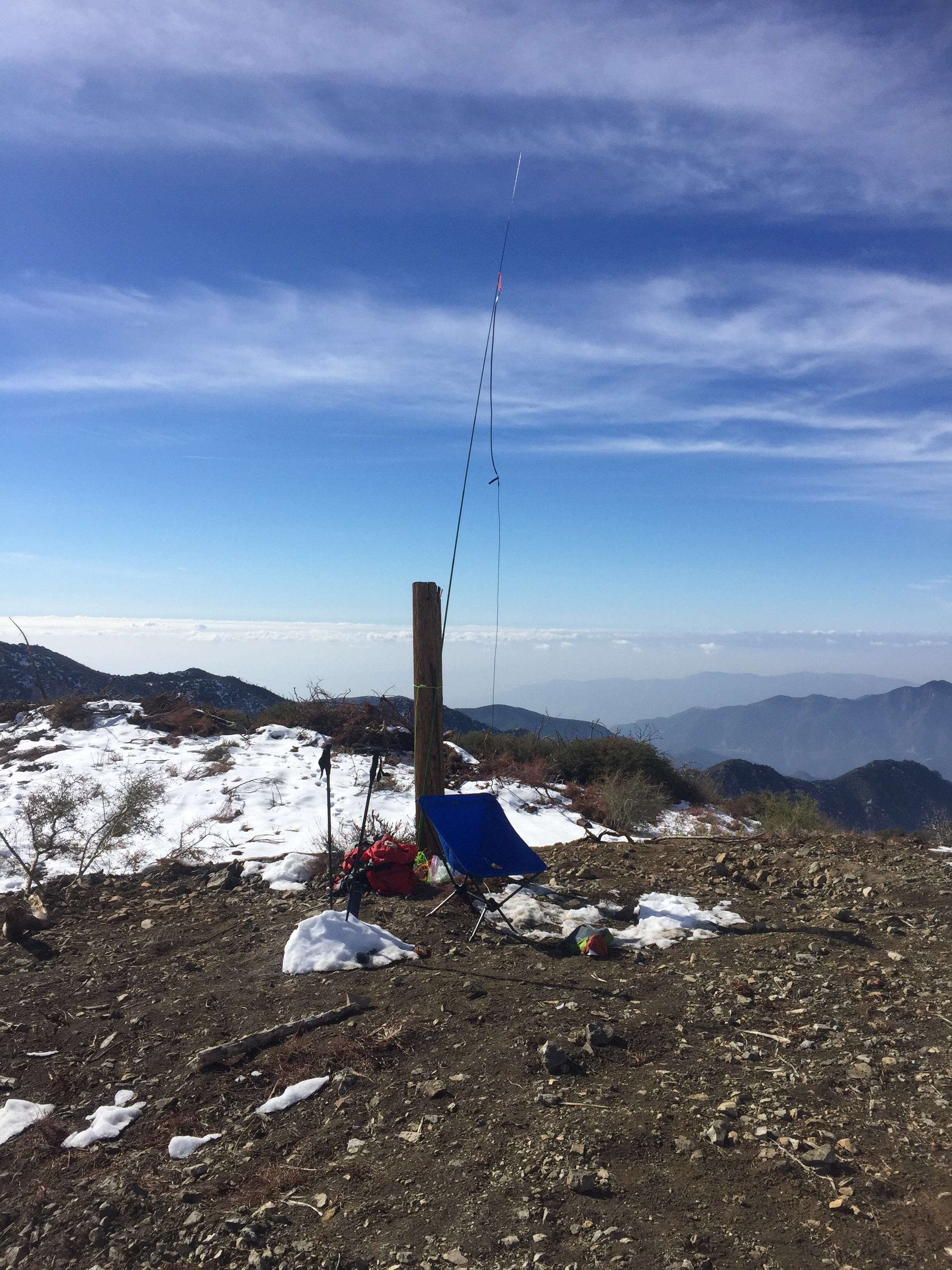
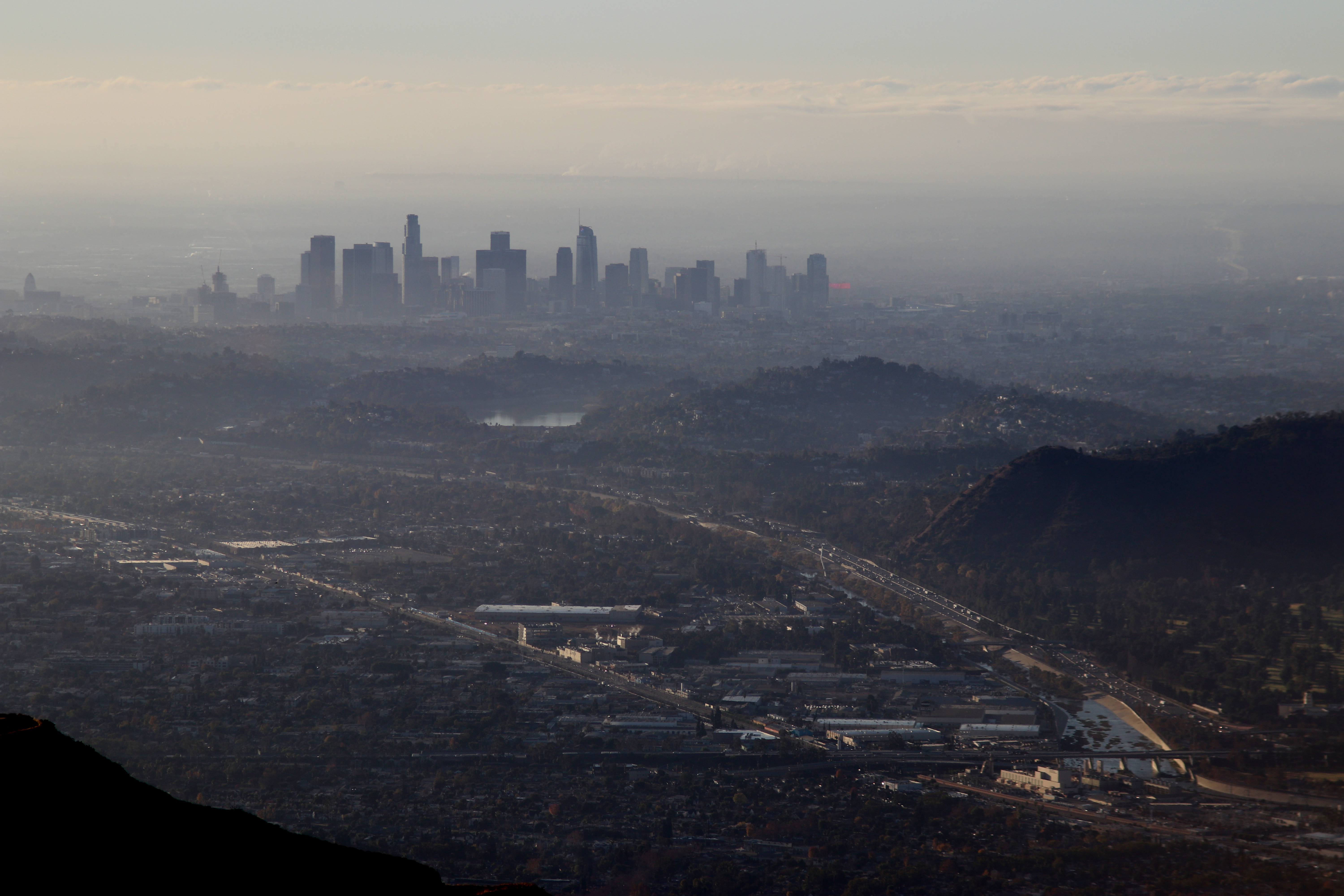
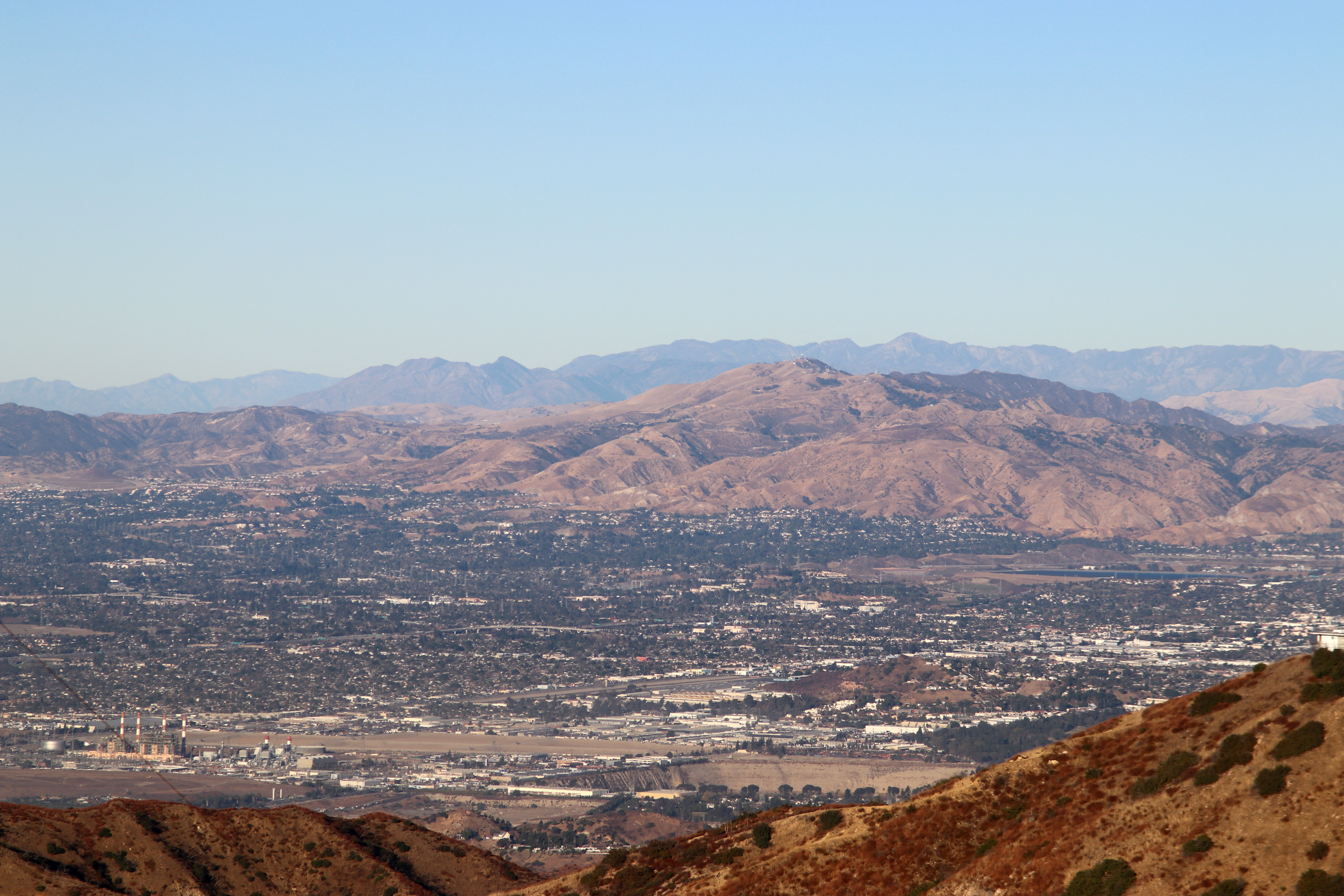
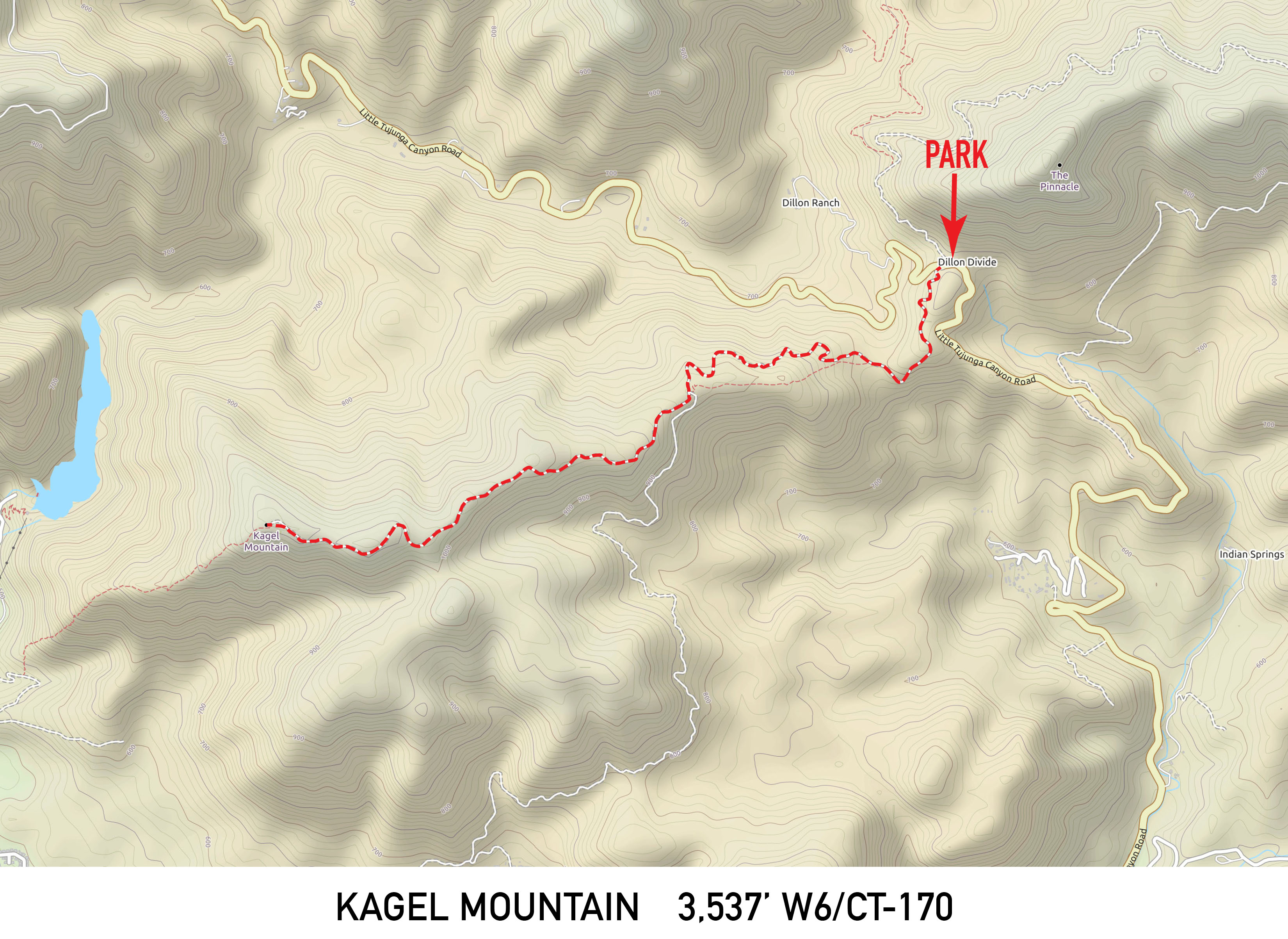
The hike is now a healthy 5.3 miles to the summit with about 2,800 feet of elevation gain on a well-graded trail. The new road closure adds about 3 miles to the round trip since my last visit in 1994. There is good cell service on the summit. The hike took me about two and a half hours without many stops.
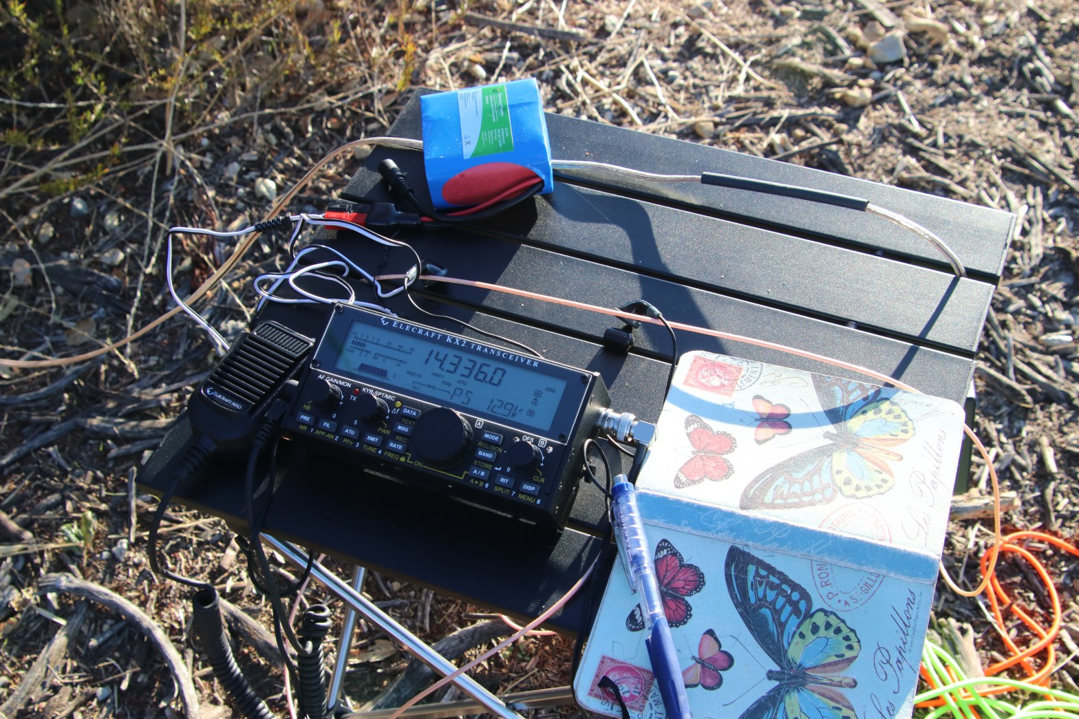
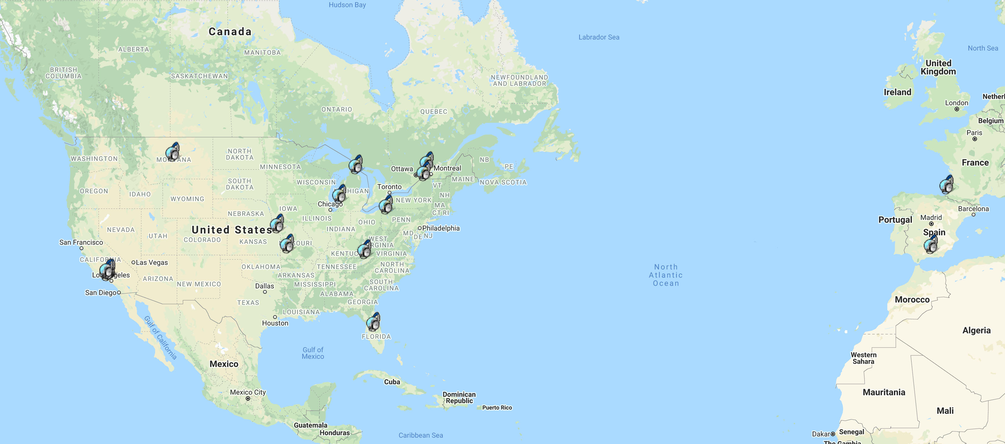
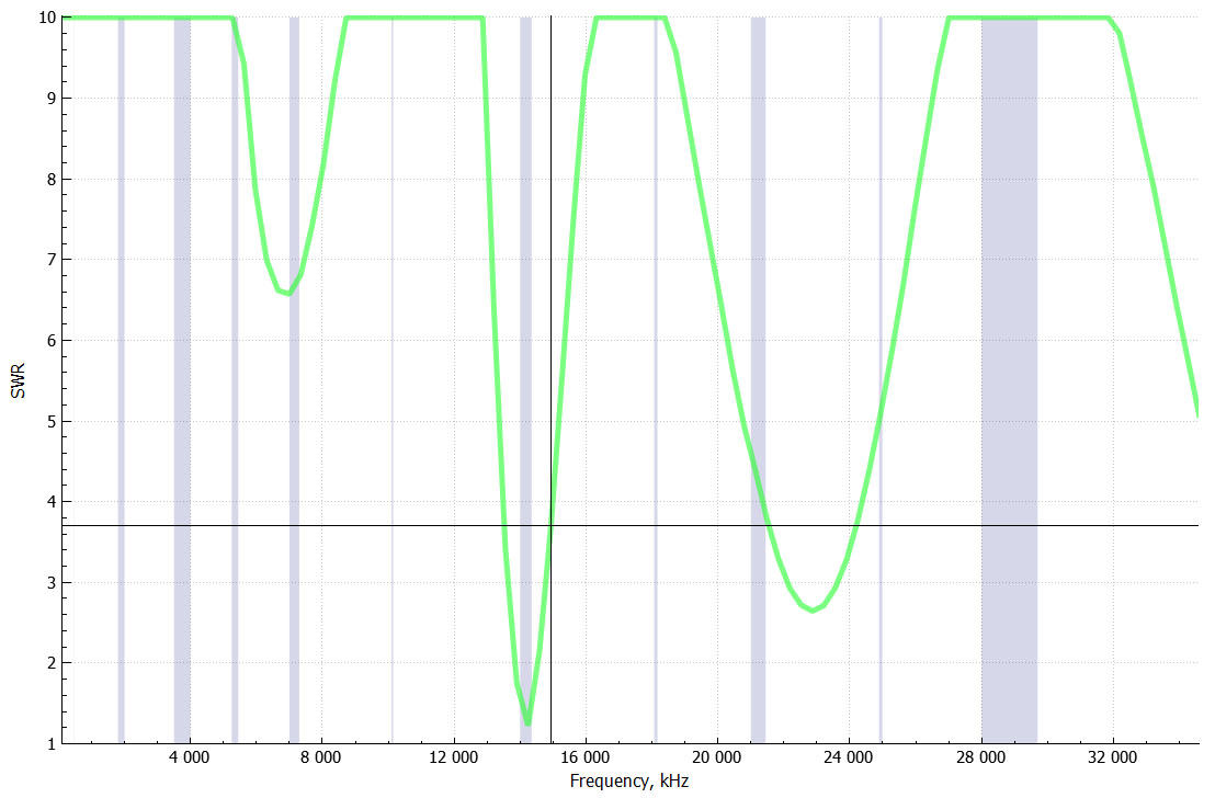
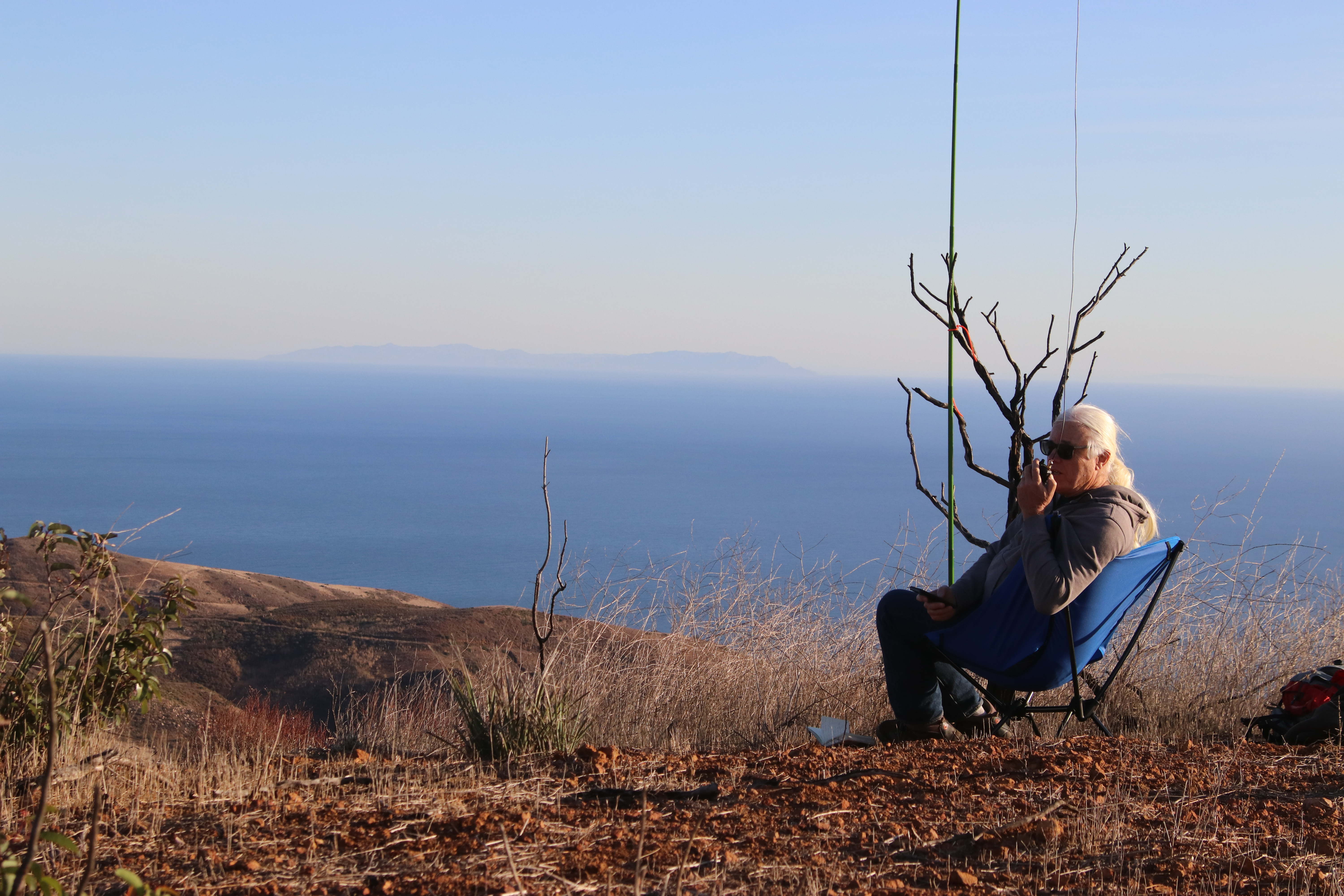
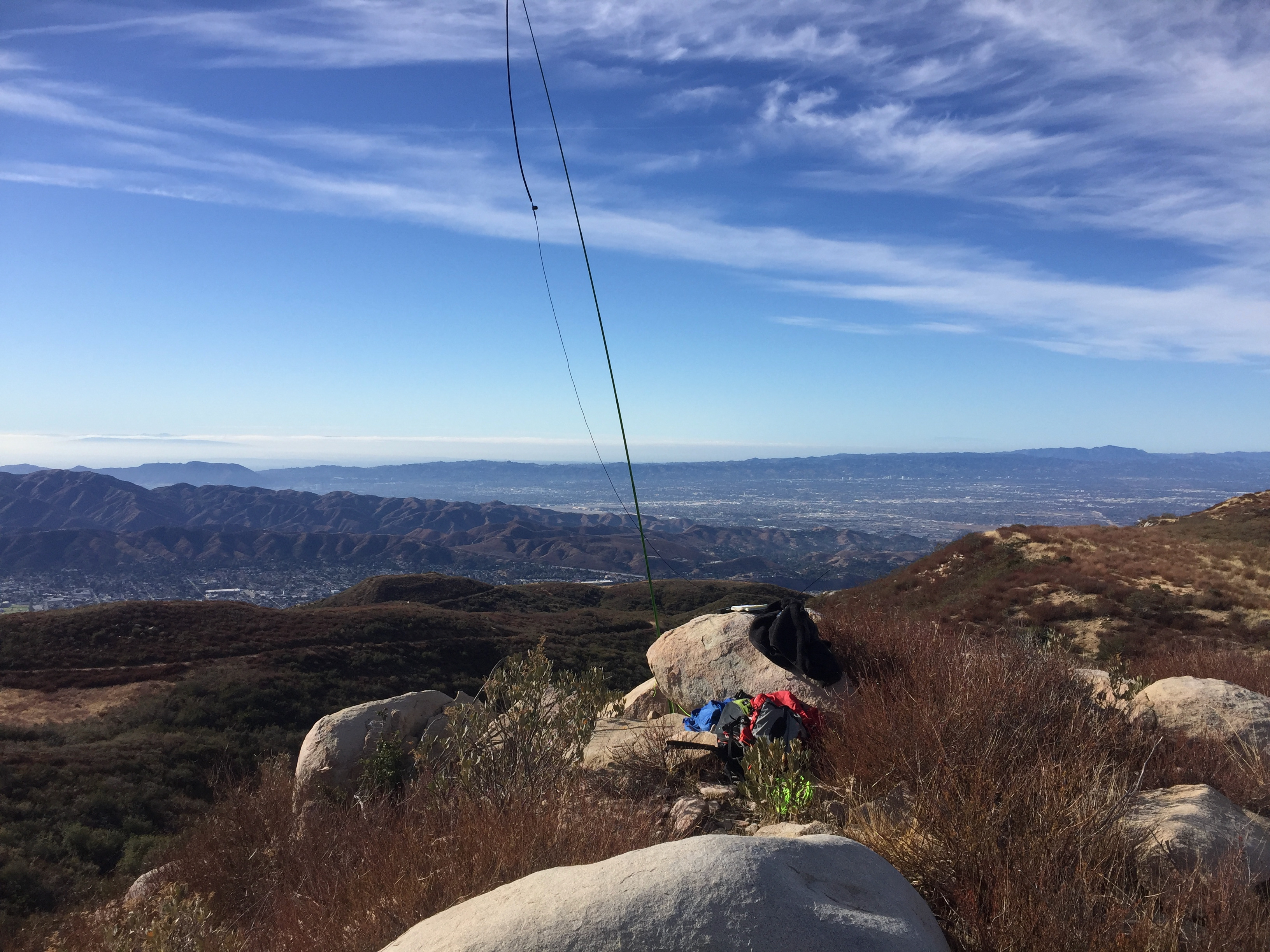
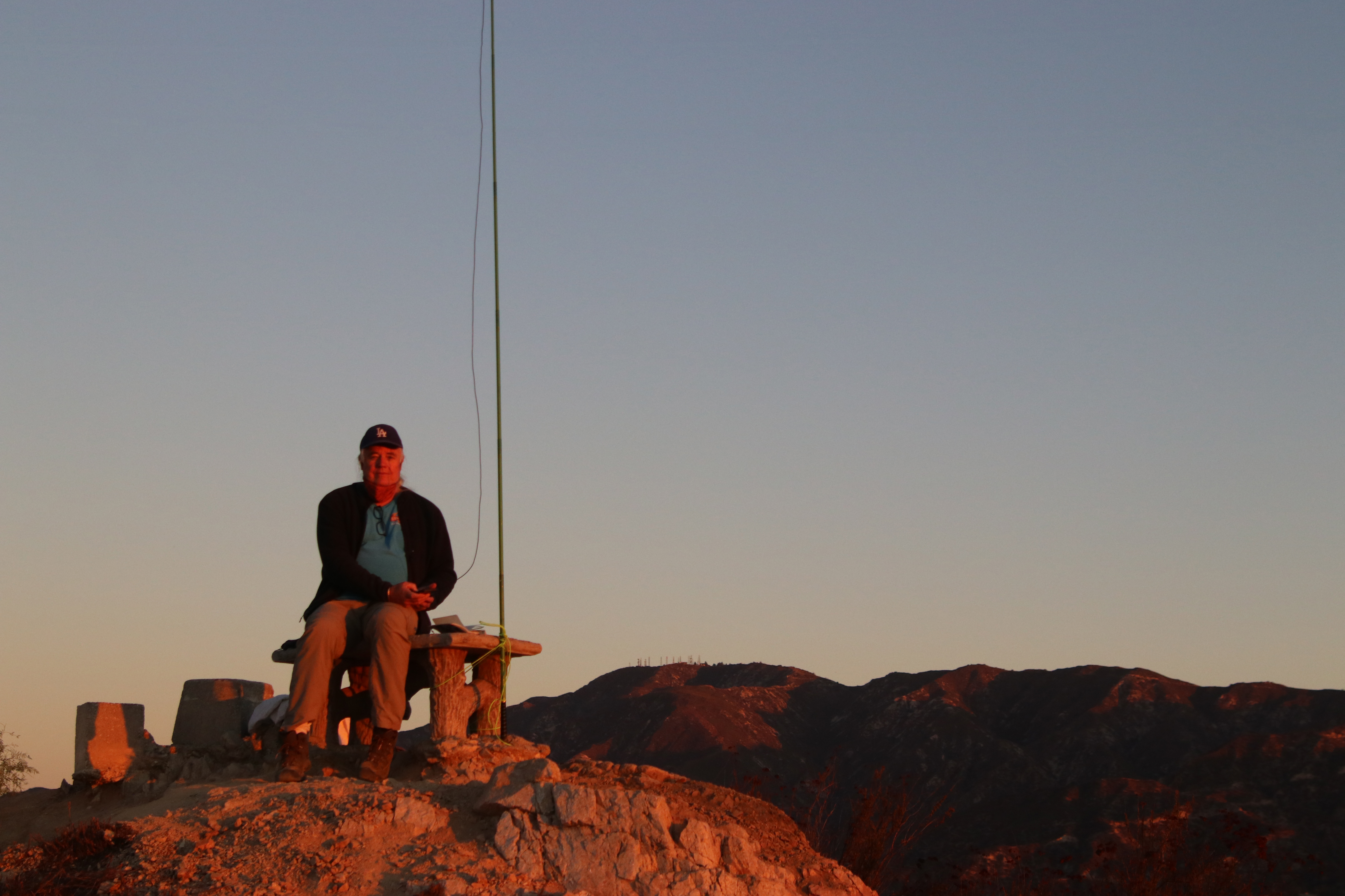
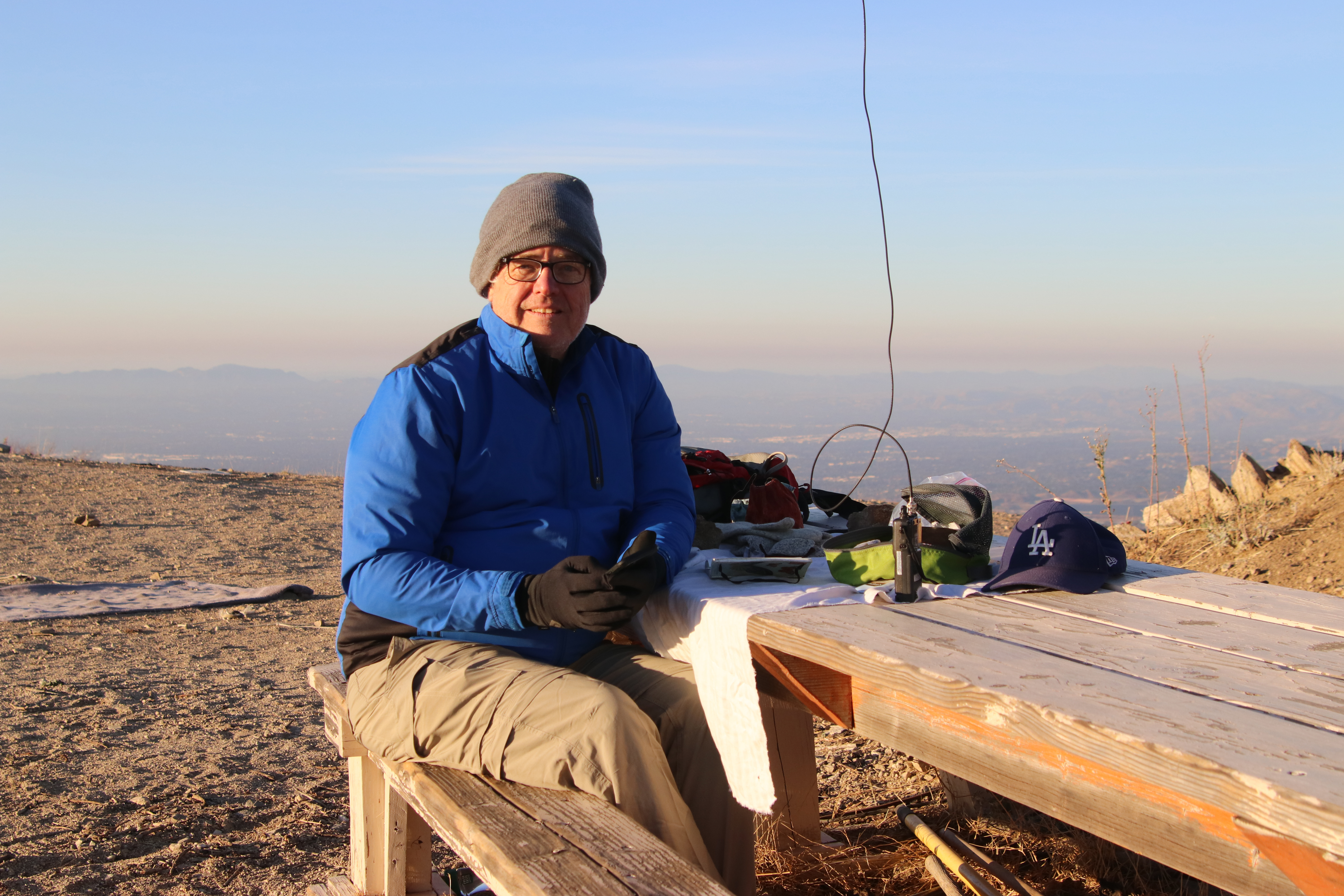
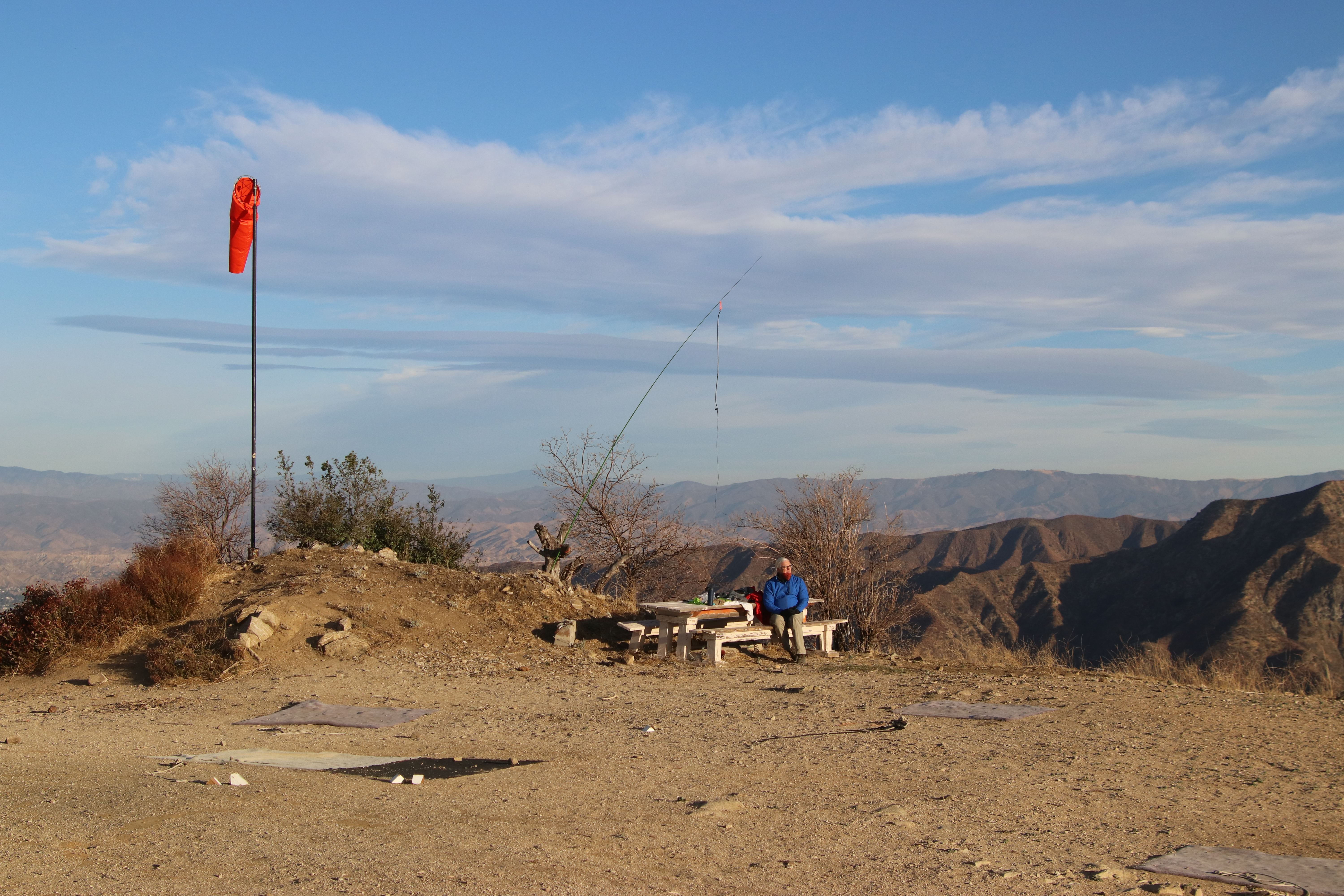
I used the well-maintained fire lookout as a support for my home-brewed speaker wire doublet and roll-up j-pole to make 29 contacts on 2m, 17m, 20m and 40m. I even worked Chris F4WBN in France again. Other regulars included Gary and Martha (W0MNA and W0ERI) in Kansas, John KI6EAB working his remote base in Florida from Capitola, California, Jerry NG6R in Palos Verdes, Brian WA6JFK, Scott WA9STI, Todd W6TLY, Jon K6LDQ and Cassie KG6MZR back home in Topanga.


