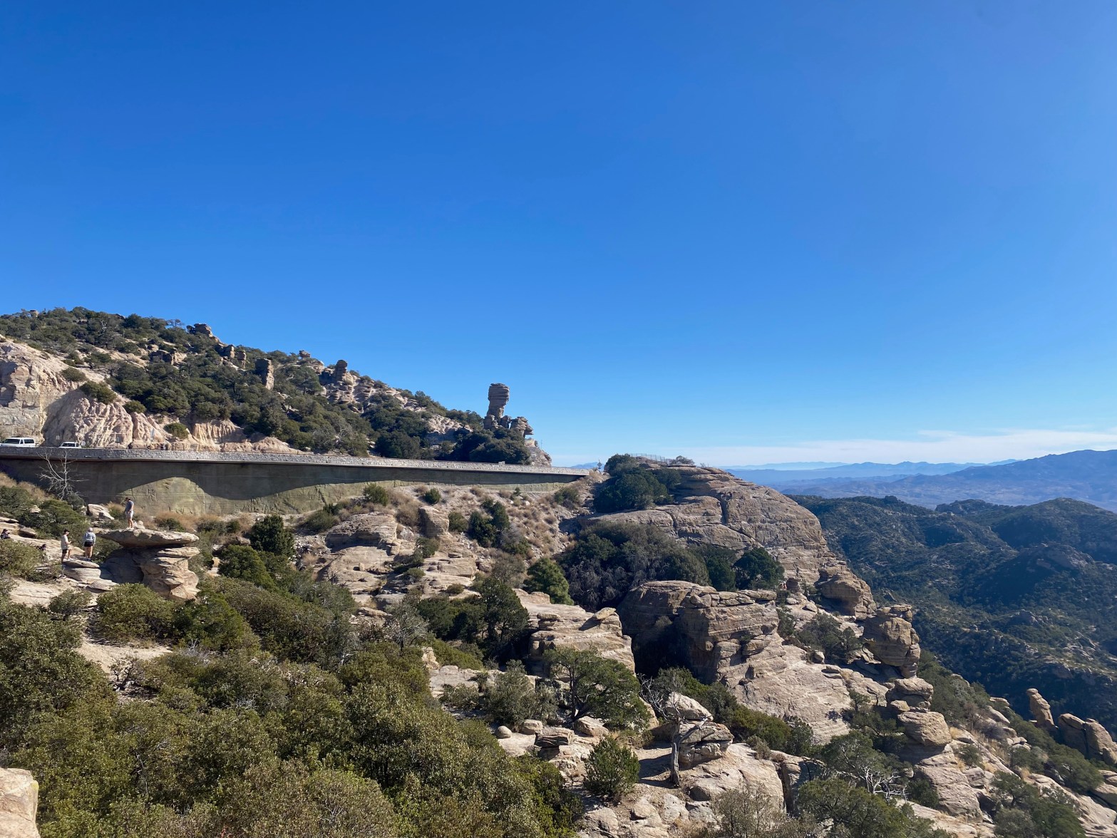
Highway 39 on the way up to Mount Lemmon. 15 DECEMBER 2024 W7A/AW-001 Elevation: 9,167′ Route: Drive up if the gate is open Hike Distance: 3.6 miles round trip if gate is closed Elevation Gain: 800′ if gate is closed (Dec 15 to Mar 1) Navigation: Easy Steepness: Gentle Vehicle: Passenger car Road: Good pavedContinue reading “Mount Lemmon”
Tag Archives: Arizona
Government Hill

Not much of a view from this forested summit. 20 APRIL 2024 W7A/CS-010 Elevation: 8,451′ Route: Cross country Hike Distance: 1.5 miles round trip Elevation Gain: 800′ Navigation: Easy – just go up Steepness: Steep Vehicle: Passenger car Road: short bumpy dirt road Cell Coverage: Good Verizon Hike basics On my way back to SouthernContinue reading “Government Hill”
Beacon Hill
Echinocereus coccineus – the stupendously cool named Scarlett Hedgehog on the summit of Beacon Hill 10 JUNE 2023 W7A/CS-038 Elevation: 7,470′ Route: Cross country Hike Distance: 1 mile round trip Elevation Gain: 520′ Navigation: Easy Steepness: Moderate Vehicle: Passenger car Road: Dirt road Cell Coverage: Excellent (Verizon), excellent APRS Hike basics I’d tried to doContinue reading “Beacon Hill”
Summit Mountain

Summit Mountain from the north across Barney Flat on the drive up. 10 JUNE 2023 W7A/CS-026 Elevation: 7,785′ Route: Very short cross country Hike Distance: .2 miles round trip Elevation Gain: 50′ Navigation: Easy Steepness: Gentle Vehicle: Passenger car Road: Dirt road Cell Coverage: Excellent (Verizon), excellent APRS Hike basics Driving back solo from CassieContinue reading “Summit Mountain”
A 1 Mountain

6 AUGUST 2022 W7A/CS-013 Blog post to follow
