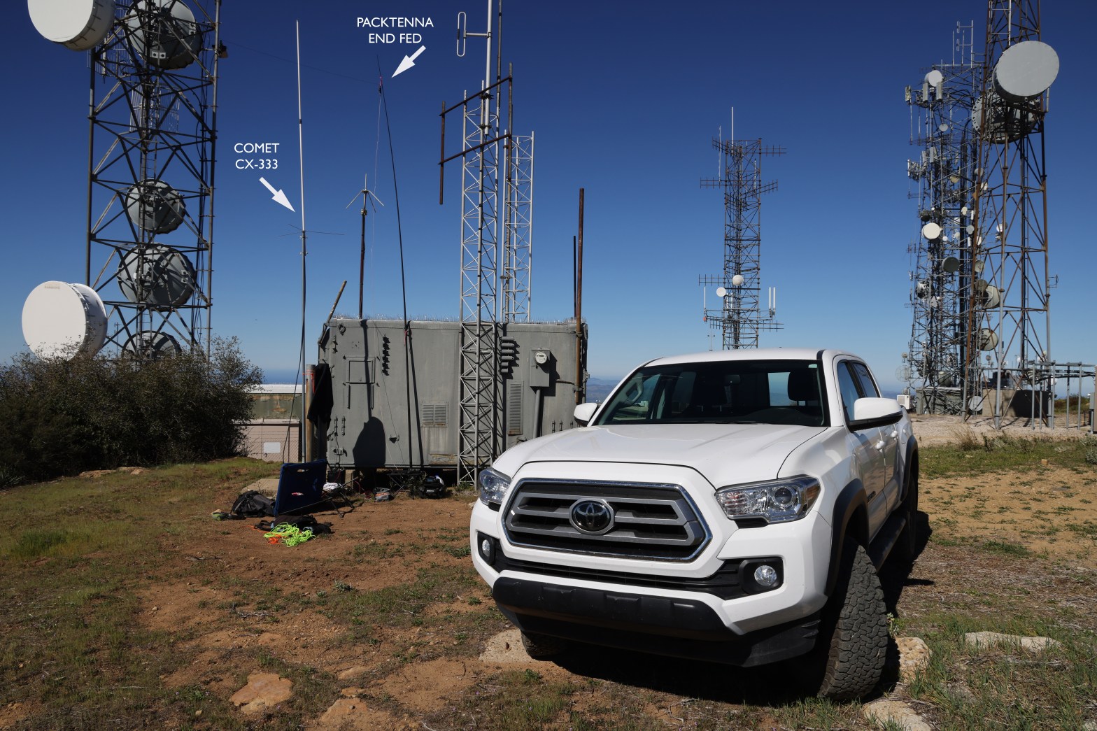
Here’s the 2m SSB station amid all the other communications infrastructure on Santa Ynez Peak. 14 MARCH 2026 W6/CC-036 Elevation: 4,298′ Route: Drive-up Hike Distance: n/a Elevation Gain: n/a Navigation: easy Steepness: n/a Vehicle: Passenger car* Road: Mostly paved. 1/2 mile dirt Cell Coverage: Excellent Verizon *The dirt section is rough but nothing an averageContinue reading “Santa Ynez Peak x2”
Tag Archives: Los Padres National Forest
La Cumbre Peak

The early morning marine layer to the south of this lovely summit. 1 MARCH 2025 W6/SC-086 Elevation: 3,986′ Route: Almost a drive up Hike Distance: .2 miles round trip Elevation Gain: 80′ Navigation: Easy Steepness: Gentle Vehicle: Passenger car Road: Good paved road Cell Coverage: Good verizon Hike basics Three stars for a virtual drive-upContinue reading “La Cumbre Peak”
San Guillermo Mountain

Here’s my comfy little station looking east toward Lockwood Valley and Frazier Mountain. 5 October 2024 W6/SC-012 Elevation: 6,585′ Route: Cross country Hike Distance: 3.8 miles round trip from gate Elevation Gain: 875′ Navigation: A bit tricky to start/end Steepness: Moderate Vehicle: Passenger car Road: Good dirt road Cell Coverage: Good Verizon Hike basics ThisContinue reading “San Guillermo Mountain”
Ranger Peak

California green and gold. Looking east toward San Rafael Mountain W6/SC-013 18 JUNE 2022 W6/SC-056
Escapula Peak x2

Fantastic view of San Emigdio Moutain, Antimony Peak and Eagle’s Rest Peak. 4 JUN 2022 W6/SC-005
San Emigdio Mountain

Chester the Drone shot this shot of San Emigdio Mountain from the east. That’s Big Pine Mountain in Santa Barbara County. 6 JUNE 2022 W6/SC-002
Frazier Mountain x2

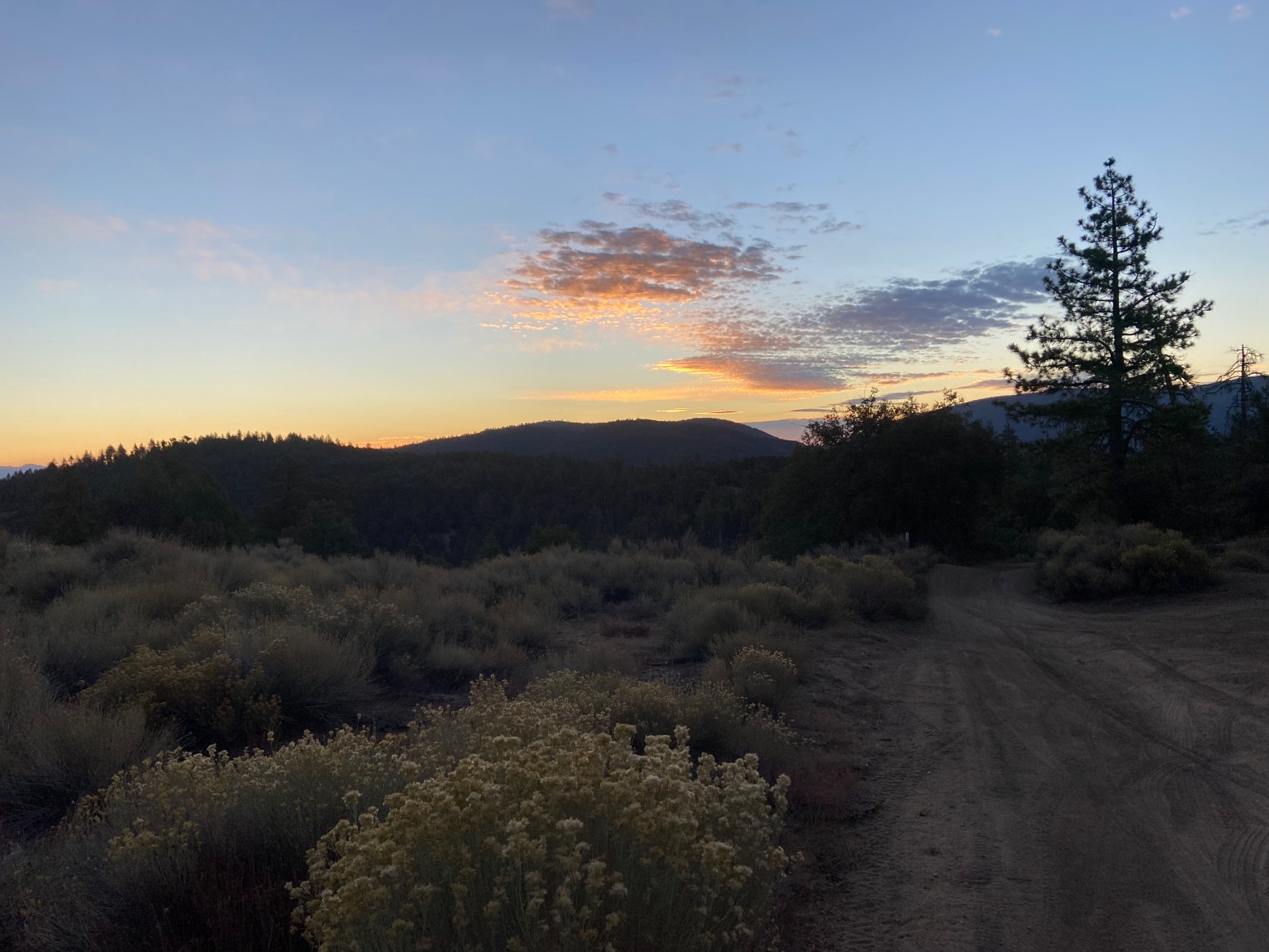
For this shake down trip in preparation for my Nevada trip next week I brought everything.
Cerro Noroestre

I originally intended to do San Emigdigo and Cerro Noroestre, but the warning light came on the dash of my old Audi, Pfeffernusse.
Haddock Mountain
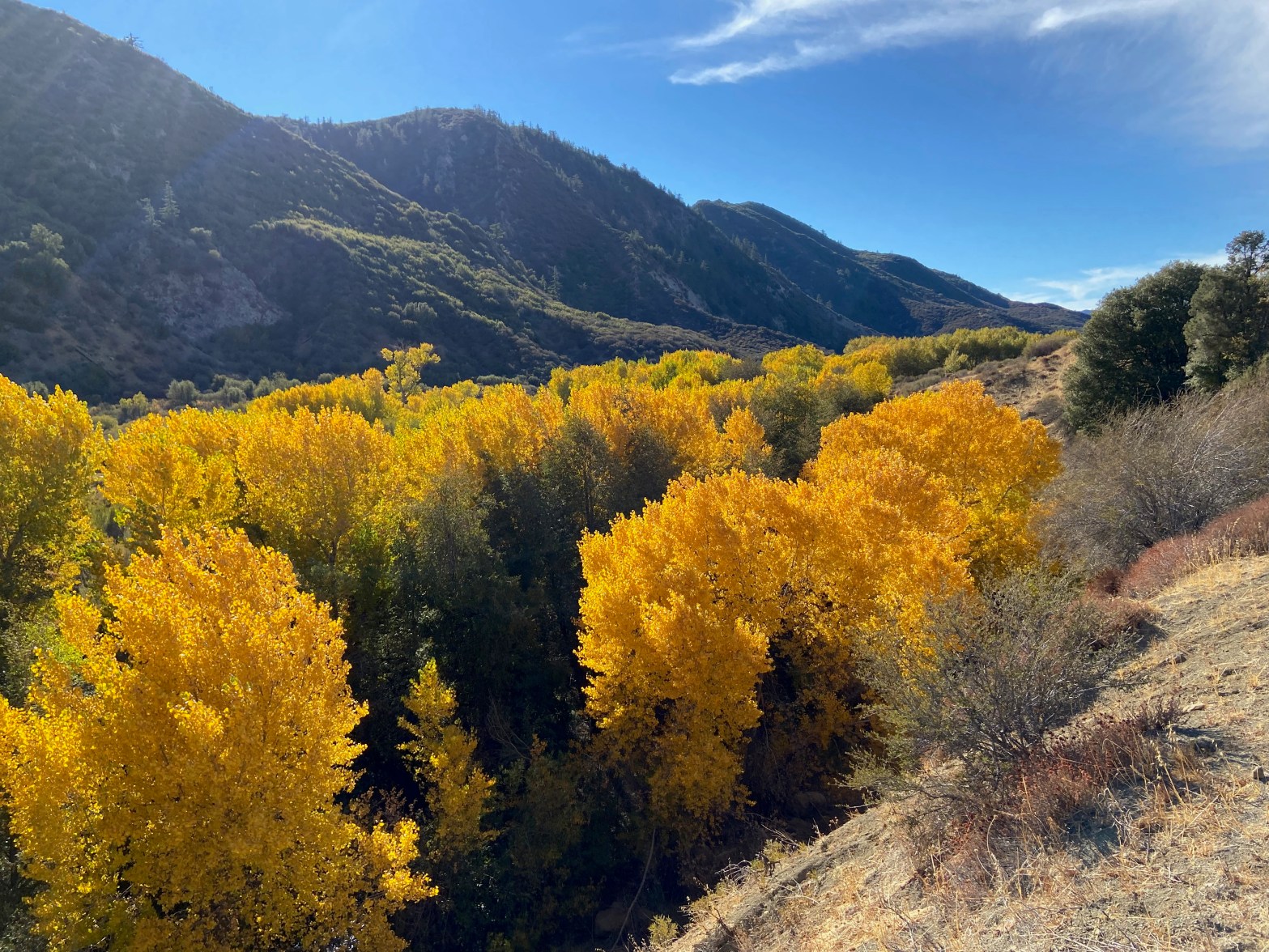
Cottonwoods in upper Sespe Canyon on the way home. 23 OCTOBER 2021 W6/SC-005 This trip took a lot longer than I planned. I left Topanga at about 4 AM in a thick drizzle. As I slowly made my way through Calabasas, Agoura and Thousand Oaks it became a steady rain. This slowed me down aContinue reading “Haddock Mountain”
Escapula Peak
A thoroughly enjoyable hike through the woods to pleasant activation with a little hiccup on the descent
