
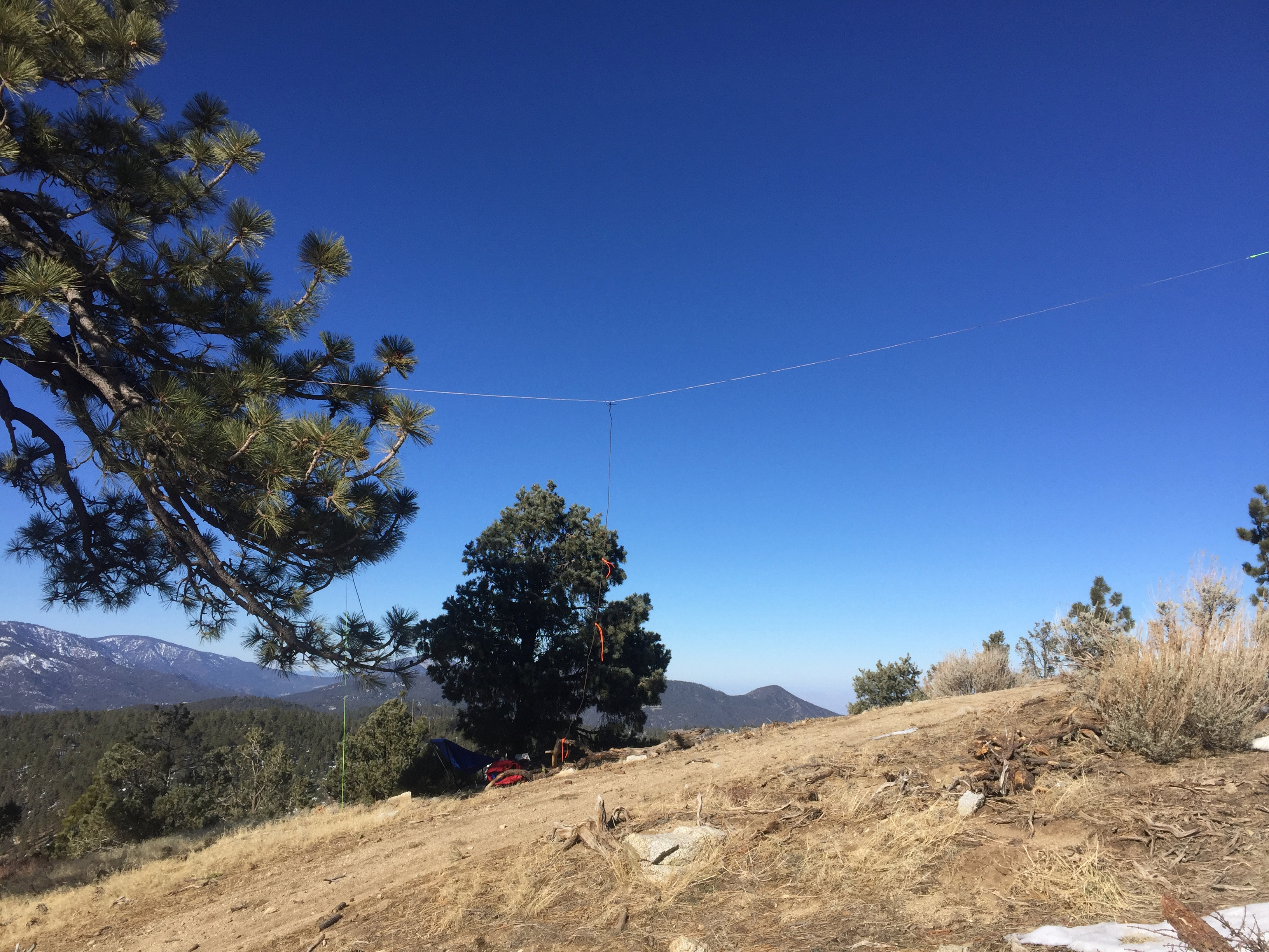
Sunrise over the stratus of the marine layer covering the Los Angeles Basin
6 FEBRUARY 2021 W6/SC-004
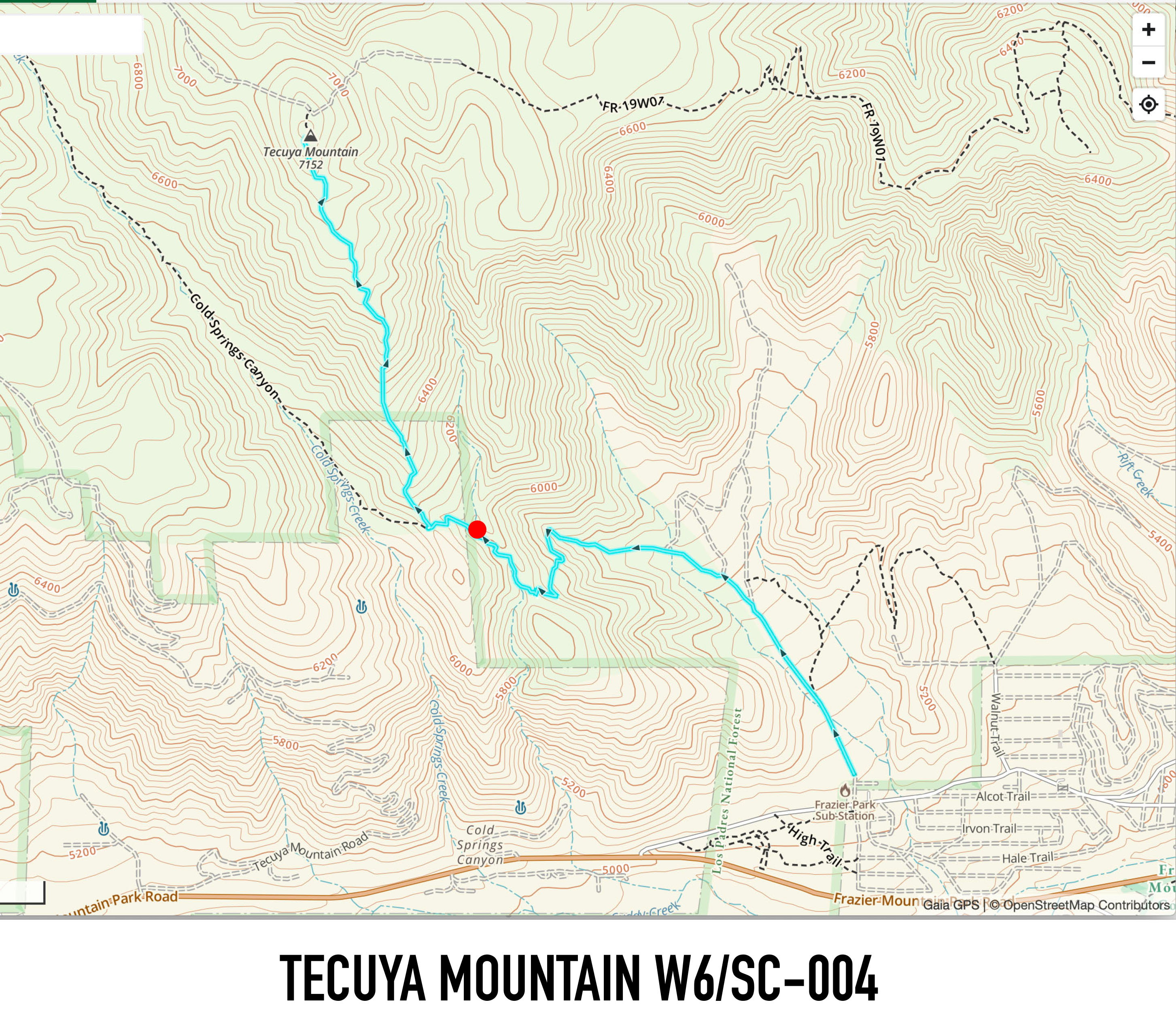
My last trip to this mountain was on June 15, 1995. I drove to the summit in Cassie’s Mom’s Blazer. With all the mountain roads closed, I selected a route that starts at the end of West End Drive in Frazier Park. I left the car just before 6:00AM in the dark and made my way up the road. This is a heavily eroded route due to it being open to motorcycles and ATVs in the non-winter months. At about the 1.2 mile point (red dot on the map below), I foolishly decided to take a trail that follows the ravine up thinking this might save some elevation loss. Turns out it just added a half mile and was tricky picking a way cross country to the ridge. I recommend staying on the trail. I came back that way and there is no elevation loss.
The hike (if you stay on route) is 2.3 miles with a healthy 2,100 feet of elevation gain.
The Hundred Peaks Section climbing guide for Tecuya Mountain.
The trail was pretty snowy on the north side of things and completely clear on the south. I didn’t have traction control spikes or gaiters, but didn’t really need them. Conditions are what I would expect for the winter months. Perhaps the best thing was that I didn’t see anybody else on the entire trip until I was almost back in Frazier Park. Since I haven’t received my first Covid vaccine, this was a two-fold blessing.

The summit has good cell coverage from Verizon, in fact I made a note in my climbing log that I made a call back in 1995 to wish my friend’s daughter a happy first birthday. She is now 27, but that was back when a mobile phone was a new novelty and I often called people from summits.
The bands weren’t in the best of shape for a QRP station, but I did manage 16 contacts including Vermont, New Hampshire, Georgia, North Carolina, Ohio, Pennsylvania, Montana and others. I had two Parks on the Air contacts including one with Liz K6LIZ on the Corrizo Plane. I also had a Summit-to-Summit with Chris N1CLC who was down on a summit in San Diego County: Viejas Mountain. I only made one 2 meter contact with Sean WD6FOX out in Canyon Country. I heard a lot of VHF stations but they couldn’t hear me. It might be a tough peak for VHF only.


One thought on “Tecuya Mountain”