
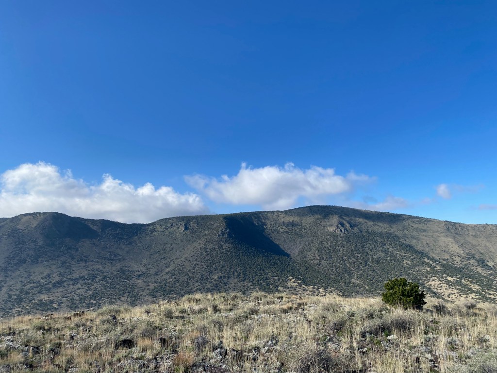
Looking west past the summit cairn over the San Luis Valley to the San Juan Mountains.
27 MAY 2023 W0C/RG-172

| Elevation: | 8,673′ |
| Route: | Cross country |
| Hike Distance: | 1 mile round trip |
| Elevation Gain: | 400′ |
| Navigation: | Easy |
| Steepness: | Moderate |
| Vehicle: | High clearance suggested |
| Road: | Good BLM dirt |
| Cell Coverage: | Excellent (Verizon), excellent APRS |
Last year’s first time activation of the Piñon Hills High Point prompted me to try this other nearby first timer. I really like this seldom-visited area. Expansive vistas of the San Luis Valley dotted with ancient volcanoes that formed the Taos Plateau are bordered on the east by the Sange de Christo Mountains and on the west by the San Juan Mountains. It is a beautiful area imbued with a peaceful solitude that suits me just fine.
The dirt road that leaves Colorado State Highway 142 is quite good. It’s the kind of road that I would do in a passenger car but the ruts and rocks made me glad to have Whitedog the Tacoma. Coming from the east, as I did this time, take a right at 142 at 37° 10.6106′ N, 105° 46.6673′ W. Coming from the west, as I did last year, the right is at 37° 10.5272′ N, 105° 51.6166′ W. There is a little spur road at 37° 9.4525′ N, 105° 48.6472′ W that gets you to within a half mile of the summit. Reminder: leave all gates as you find them – open or closed.
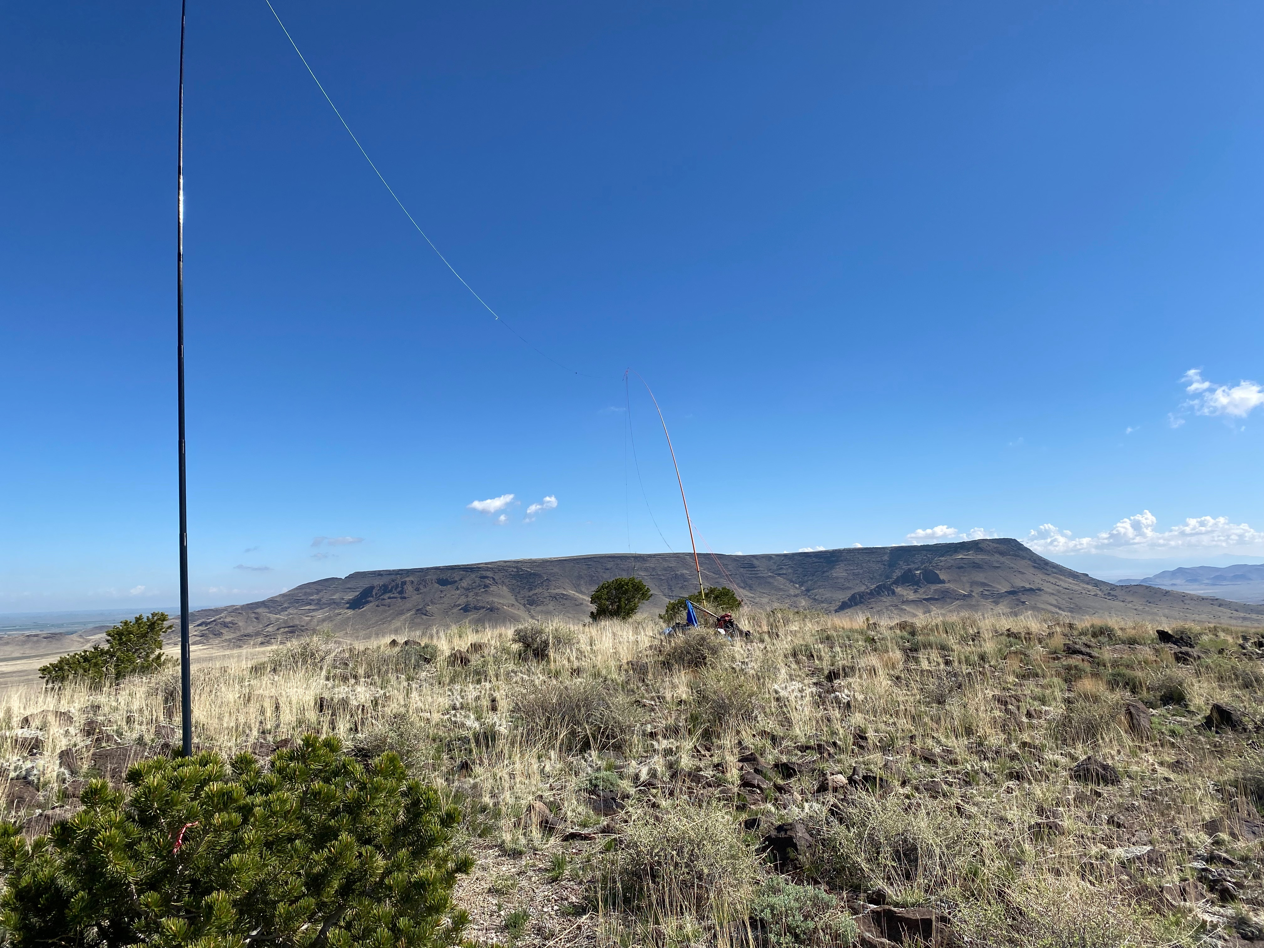
The hike is short and sweet with a brief moderately steep section that is easy to negotiate. I saw two separate heard of wild horses – one band was migrating through the pass between this summit and Flattop to the north – and one heard of elk springing along at a lope. There is a cairn on the summit but no other sign of humans.
Conditions weren’t great on HF but I did eke out a S2S with Kentucky. I kept it short because I had my eye on activating North Guadalupe in New Mexico on my way back.
Captions on the photos below to follow…


Leave a comment