
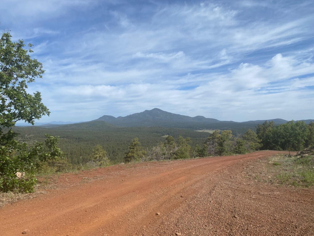
Summit Mountain from the north across Barney Flat on the drive up.
10 JUNE 2023 W7A/CS-026

| Elevation: | 7,785′ |
| Route: | Very short cross country |
| Hike Distance: | .2 miles round trip |
| Elevation Gain: | 50′ |
| Navigation: | Easy |
| Steepness: | Gentle |
| Vehicle: | Passenger car |
| Road: | Dirt road |
| Cell Coverage: | Excellent (Verizon), excellent APRS |
Driving back solo from Cassie KG6MZR’s place in New Mexico, I decided to do my usual layover in Flagstaff and do some new SOTA summits. I had my eye on Summit Mountain and Beacon Hill. Fate would lead me to include doing Bill Williams Mountain again, but more on that later.
Saturday dawned sunny, but smoky from prescribed burns all through the Coconino Plateau. The drive up to Summit Mountain is pretty easy to find and the road, while somewhat rocky and rutted is suitable for the adventurous in a passenger car.
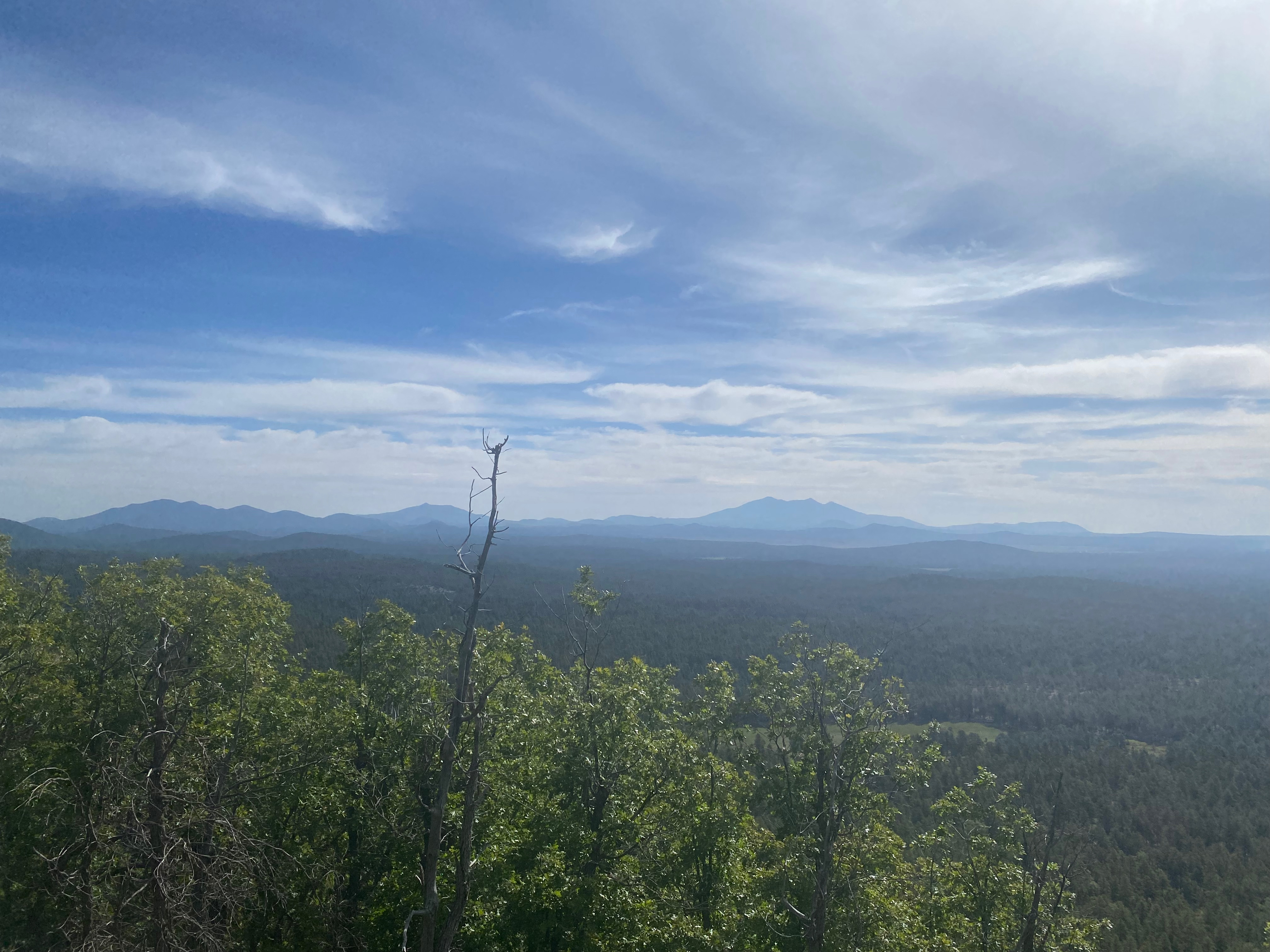
The activation area is large however I opted to park Whitedog on a spur road and hike the 500 feet or so to the east side of the actual summit where I find a nice open area to set up.
I had fun activating with 2 summit-to-summit contacts and one park-to-park.
But on the way down, I inadvertently left my Garmin InReach on the bumper of Whitedog. You can find out what happened to this rather expensive bit of kit in the next post: Beacon Hill


Leave a comment