
A partial eclipse of the sun is projected through a pinhole in my logbook’s cover. The spiral spine also creates a series of suns.
14 OCTOBER 2023 W6/CT-093

| Elevation: | 5,778′ |
| Route: | Drive-up if the gates are open |
| Hike Distance: | 5.5 miles round trip if the gates are closed |
| Elevation Gain: | 1,500′ – 1,000′ in and 500′ on the return |
| Navigation: | Easy |
| Steepness: | Well graded forest service road |
| Vehicle: | Passenger car |
| Road: | Good dirt road |
| Cell Coverage: | Good (Verizon) APRS Excellent |
This activation proved to be more of a drive and much less of a hike than I expected. I left my home on Topanga at 5 AM expecting to get to the gate at 34° 41.4986′ N, 118° 33.2767′ W on forest service road 7N23 early. The suggested route for this is taking Lake Hughes Road out of Castaic. As I made my way up this road in the dark, I encountered a ROAD CLOSED sign in the middle of the road. I drove past it for a few miles and found no obstructions but decided I didn’t want to get turned around 20 miles up the road so I headed back down to Castaic.
From there I headed into Santa Clarita and wheeled up San Francisquito Canyon Road. I actually could’ve saved myself a lot of time, miles and gas but jumping over on forest service road 5N04. I could’ve saved even more time, miles and gas if I had just continued as it turns out I discovered on the way back that Lake Hughes Road was, in fact, OPEN!
At this point I had no idea if Pine Canyon Road would be open to Bushnell Summit and forest service road 7N23 or if the gate would be open when I got there. I was already forming backup plans in my mind.
It turns out not only was the gate open at Bushnell Summit, but the gate at 7N23A was also open, so this was a drive up.
There we a lot of deer hunters parked along the road but I heard very few reports from any firearms. The early morning guys all tend to be “one shot” kind of guys. The afternoon crowd is a little more trigger happy.
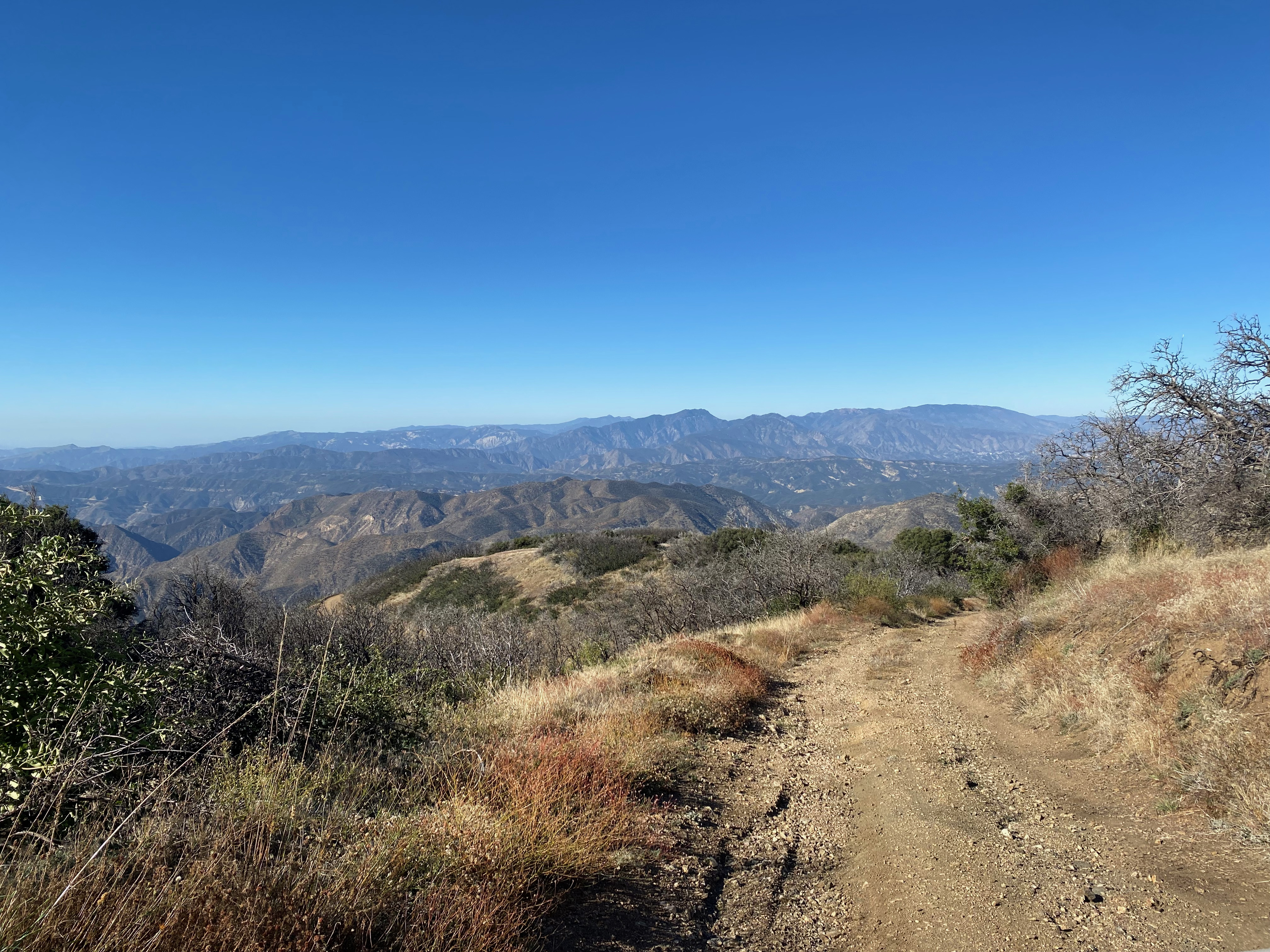
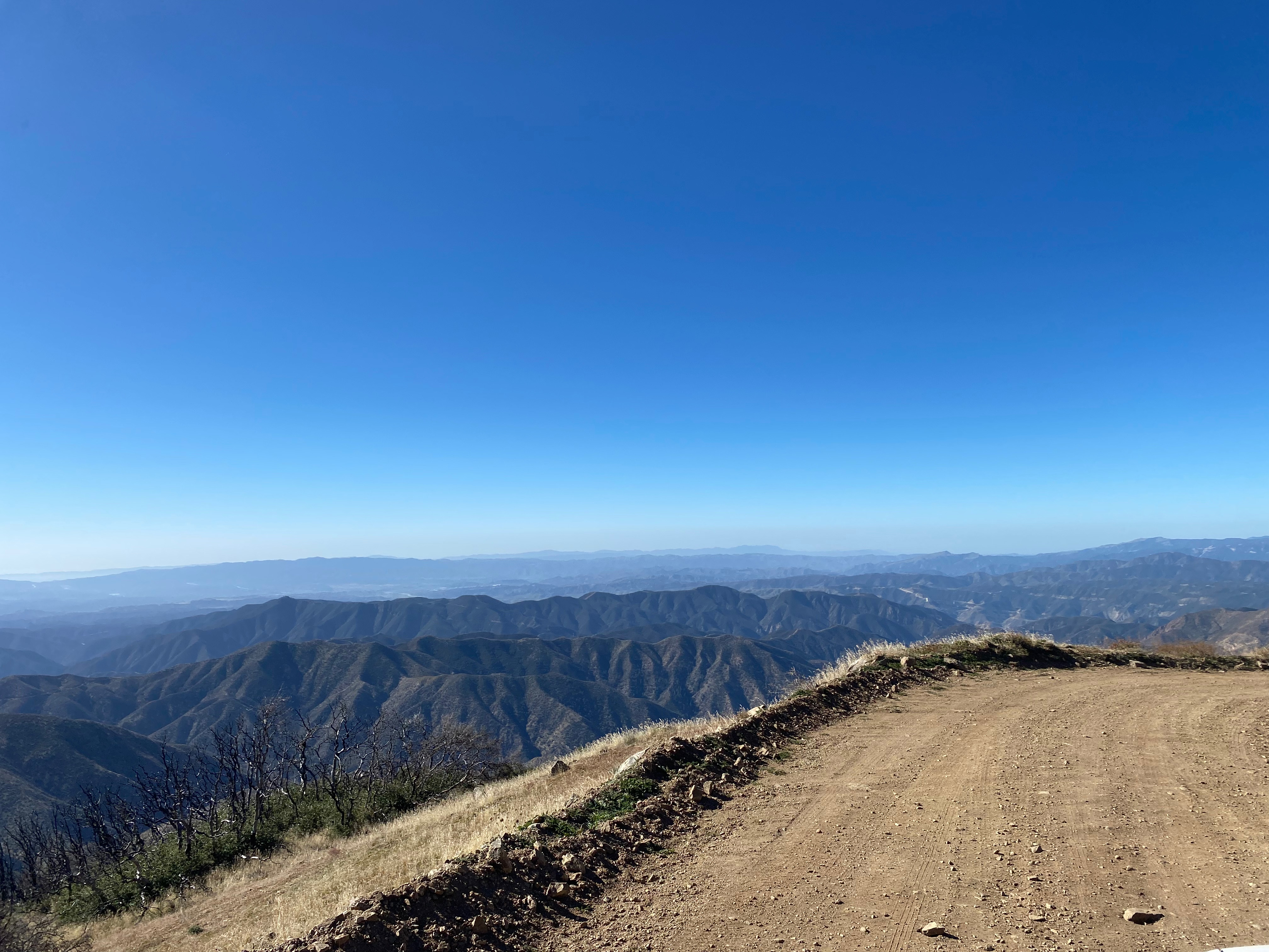
On the summit is a large FAA radar facility. I remembered from my last time on this summit on August 15, 1985 that there was a spot on the north side that was below a rock berm shielded from the radar. Since this was still in the activation zone, I set up there.
When the moon was at maximum coverage of the sun (about 70%) it became noticeably much cooler and dimmer. I thought I might be wearing my sunglasses at one point and was surprised to find that they were my normal reading glasses!
Radio conditions were excellent – especially on 10m where I worked Aleksander in Slovenia, Mike in Germany and, of course, Chris in France. I had 5 summit-to-summit contacts and even got Lorene W6LOR and Mike K6STR in Wyoming.


Leave a comment