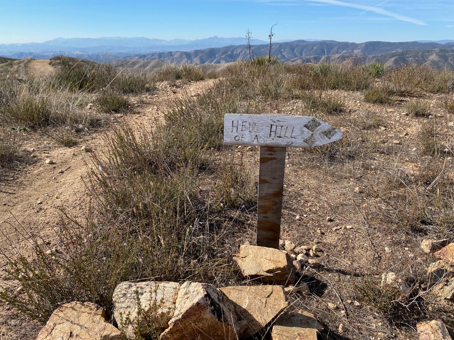
This sign isn’t kidding. The last half mile of this route is steep!
4 NOVEMBER 2023 W6/CT-271

| Elevation: | 3,094′ |
| Route: | Fire road and motorcycle track |
| Hike Distance: | 3.5 miles round trip |
| Elevation Gain: | 550′ in and 100′ on the return |
| Navigation: | Easy |
| Steepness: | Extremely steep at the end |
| Vehicle: | Passenger car |
| Road: | Good dirt road |
| Cell Coverage: | Good (Verizon) APRS Excellent |
It continually amazes me that considering all the time I have spent in my life traipsing across the mountains Southern California, I still manage to stumble upon obscure corners of this state that I have never seen. My brother Mark and I set out on this pleasant Saturday morning to try our hand at what I call Burn Benchmark #2. I think of the higher, more oft visited W6/CT-136 Burn Benchmark as Burn BM #1.
We took Rush Canyon Road (5N13.1 ) off Sierra Highway and headed up toward Rowher Flats OHV area. The parking area is about a mile and a half up this road where the Vasquez Truck Trail (locked gate) joins Rush Canyon Road. This is the trailhead for the popular Texas Canyon rock climbing area. There is ample parking.
This route follows the Vasquez Truck Trail for a little more than a half mild before taking off to the left up the “Hell of a Hill” motorcycle trail. Take careful note of that name.
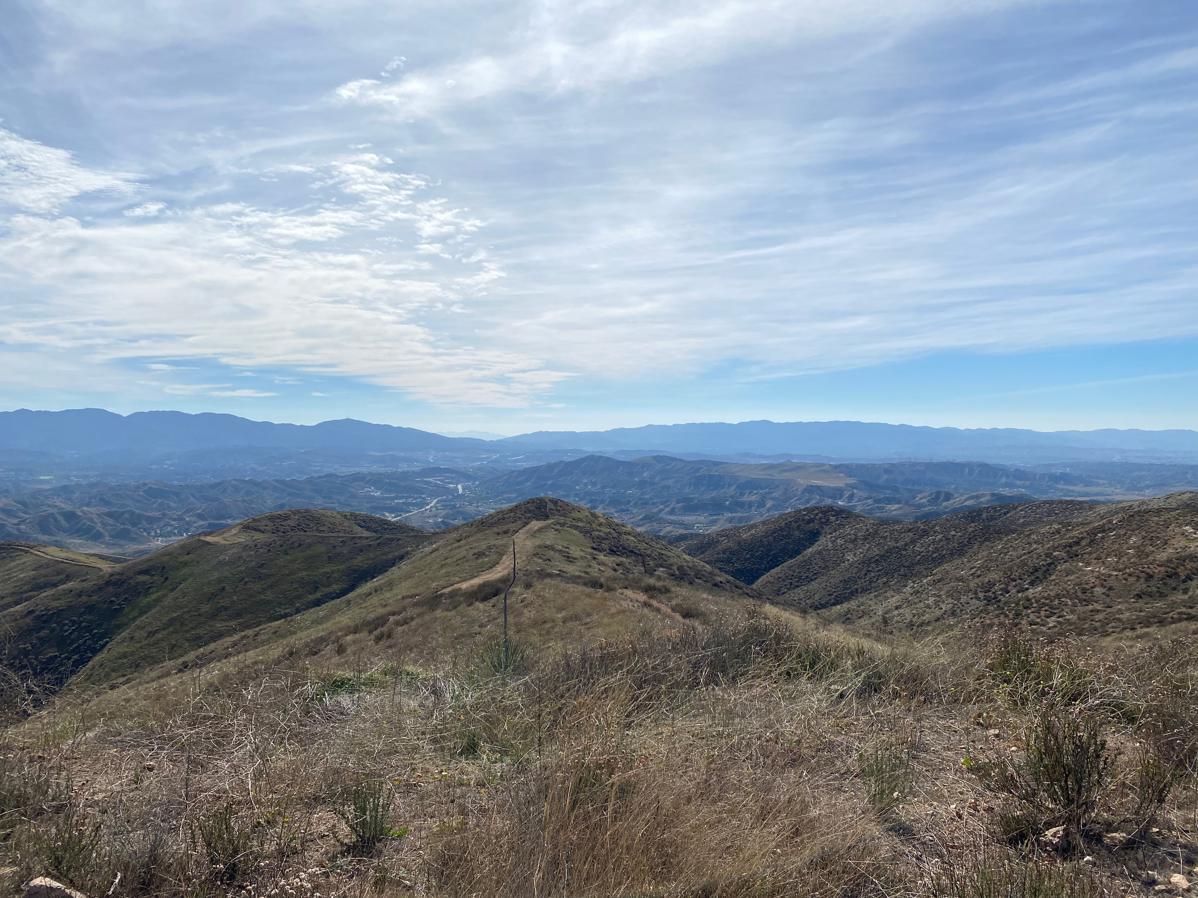
The hike takes you past a great view of Elephant Rock in the Texas Canyon rock climbing area. We saw several groups of climbers on belay.
The hike is a very enjoyable, seldom traveled route right up until the last quarter mile or so. At this point the route ascends the aforementioned “Hell of a Hill.” My older brother and I grew up hiking steep firebreaks in the Santa Monica Mountains, so this hill didn’t particularly phase us. Be forewarned that your mileage may vary. I found that my trekking poles came in handy, especially on the descent on my 67-year-old-knees.
Radio conditions weren’t great but I did have a lot of fun working 5 bands.


Leave a comment