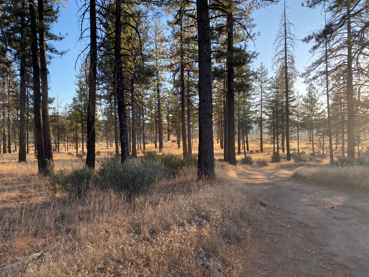
Sunrise near the trailhead. Didn’t see another soul all day
14 September 2024 W6/SC-016

| Elevation: | 6,261′ |
| Route: | Forest service trail and cross country |
| Hike Distance: | 5.5 miles round trip |
| Elevation Gain: | 1,200′ |
| Navigation: | Easy |
| Steepness: | Steep cross country |
| Vehicle: | High clearance suggested |
| Road: | Good dirt road |
| Cell Coverage: | Good Verizon |
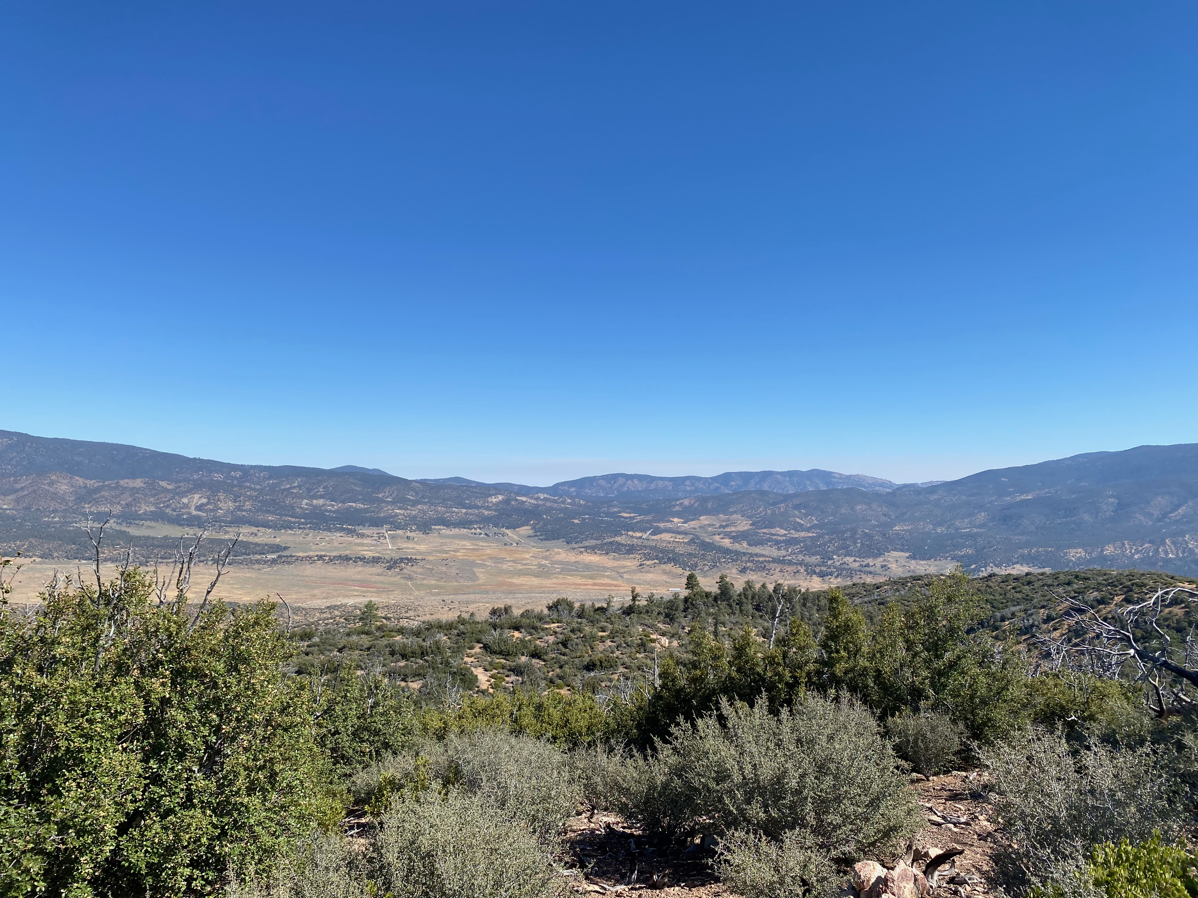
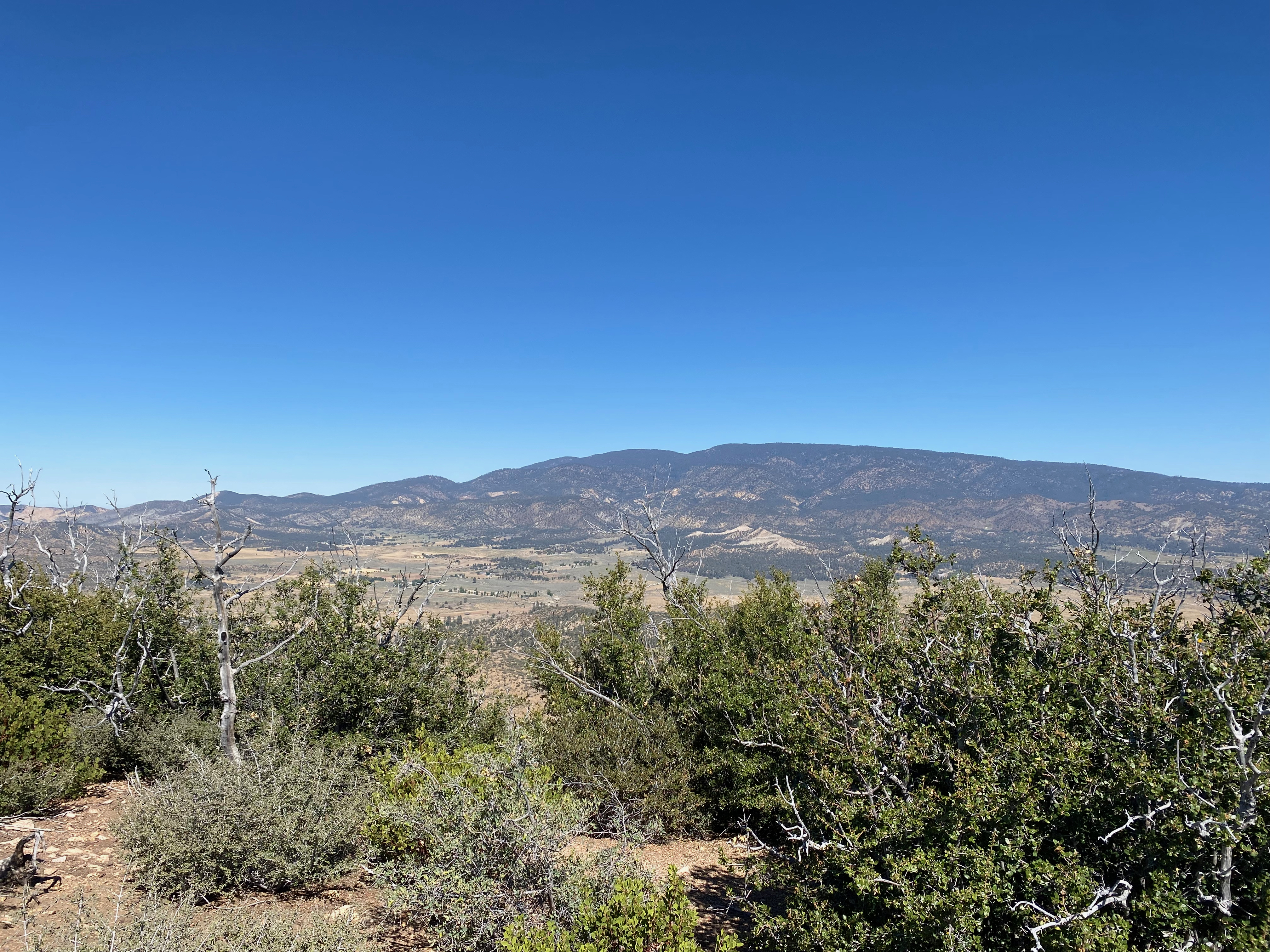
I last hiked this mountain on May 28, 1996 before it had burned in the Day Fire of 2006. While the area has rebounded fairly well in the intervening 18 years, there was noticeably more deadfall in the cross-country gully than there was back in the last century. Lorene (W6LOR) and Mike (K6STR) had done this mountain a few weeks before and suggested that the standard route up the gully used by The Hundred Peaks Section might be a bit shorter and less brushy, if not more fallen trees to contend with than the ridge route.
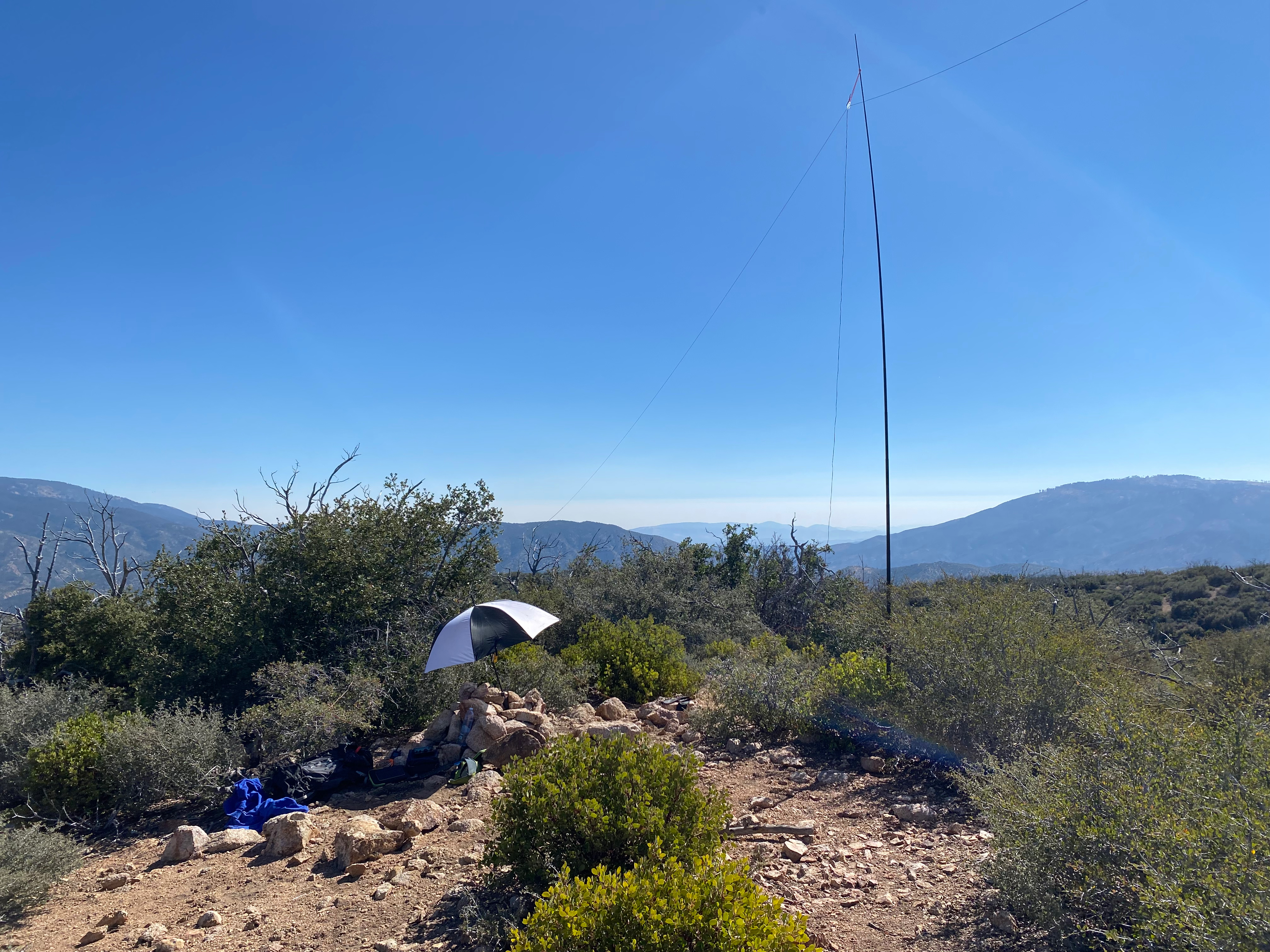
I found the hike to be very enjoyable. Others have mentioned finding water along the route, but in September there was none to be seen on this trip. There is no shade on the summit so bring plenty of water.
I was surprised to find a Jeep Rubicon parked at the spot where the route leaves Yellowjacket trail and ascends the gully. On the summit I found a full camp with a tent, sleeping bags, chairs and a mobile phone charging via a solar panel in the sun. No people, though. A few empty water bottles. I hope they are okay.
I made no 2m contacts which is unusual for Southern California. I suggest HG gear is a must for this activation. Even with a class C solar flare I had 3 s2s contacts and several back east.


Leave a comment