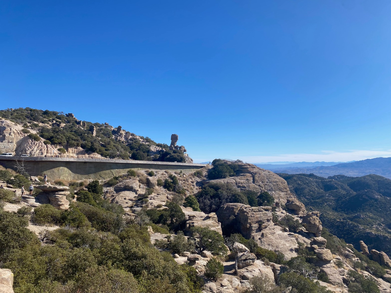
Highway 39 on the way up to Mount Lemmon.
15 DECEMBER 2024 W7A/AW-001

| Elevation: | 9,167′ |
| Route: | Drive up if the gate is open |
| Hike Distance: | 3.6 miles round trip if gate is closed |
| Elevation Gain: | 800′ if gate is closed (Dec 15 to Mar 1) |
| Navigation: | Easy |
| Steepness: | Gentle |
| Vehicle: | Passenger car |
| Road: | Good paved road |
| Cell Coverage: | Full bars Verizon |
Cassie KG6MZR and I decided to take the southern route to her place in north central New Mexico to avoid any weather and to do a bit if exploring. We had driven from Topanga, California to Tucson the previous day and decided to lay over a day in Southern Arizona.
K0NR had mentioned that the road to the summit from the small ski area might be closed in November, so we knew we might need to do a bit of hiking. Highway 39 turns out to be a very good road that ascends through multiple vegetative zones from Sonoran Desert to Coniferous Forest. This fun drive winds its wayup through a maze of dramatic granite formations and offers spectacular views of the Tucson area below.

We lucked out and found the gate open with a sign that said the road was closed for winter from December 15th to March 1st. Later we met a forest service ranger that was locking the gate on Mount Bigalow.

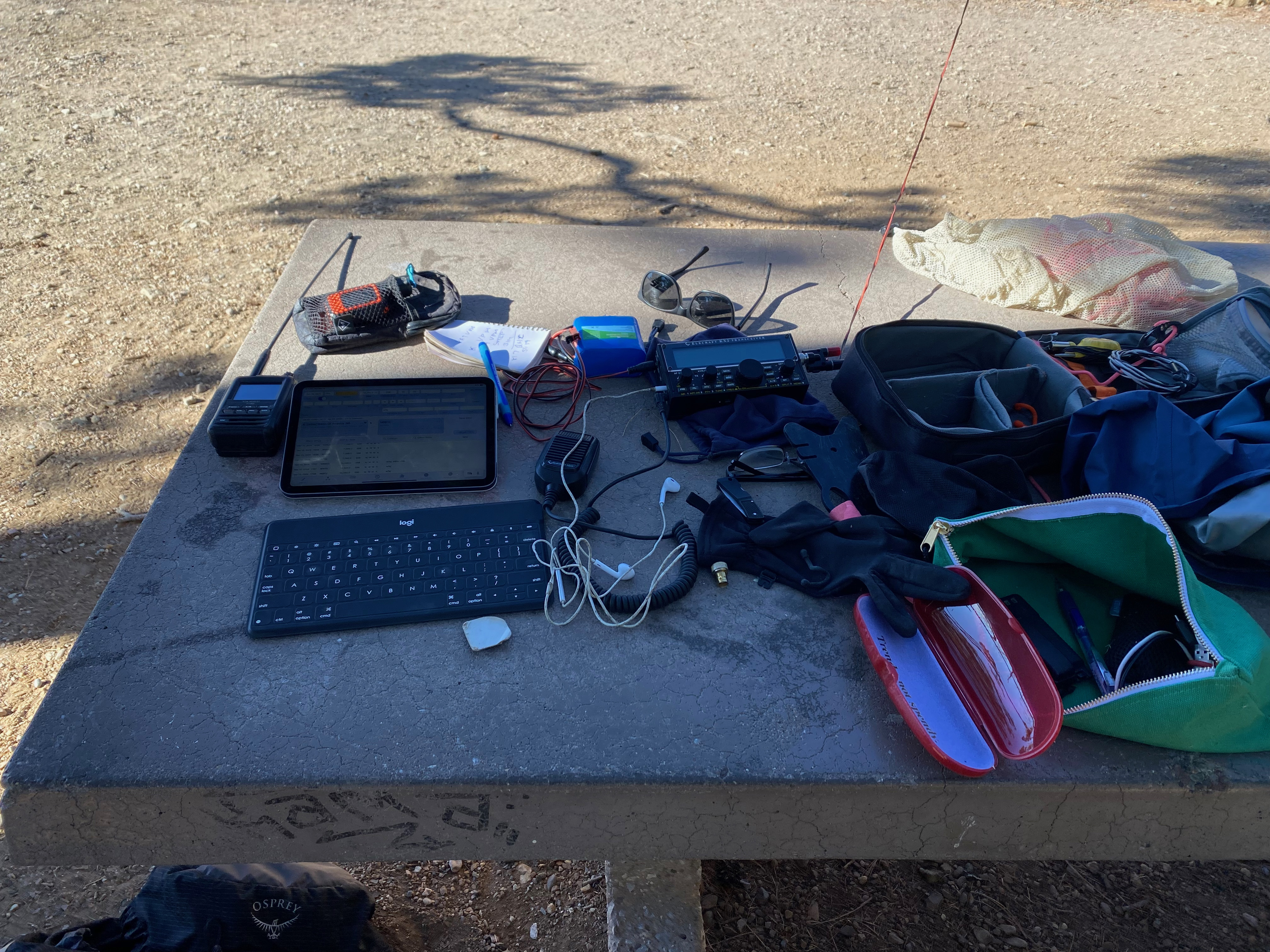
The day use area below the observatories and communication facilities is within the activation zone and offers a comfortable place to set up the station. I kept this activation short because KG6MZR was with me, however Cassie did get her first SOTA activation thanks to 4 chasers on VHS in the greater Tucson Area. Thanks guys!


Leave a comment