
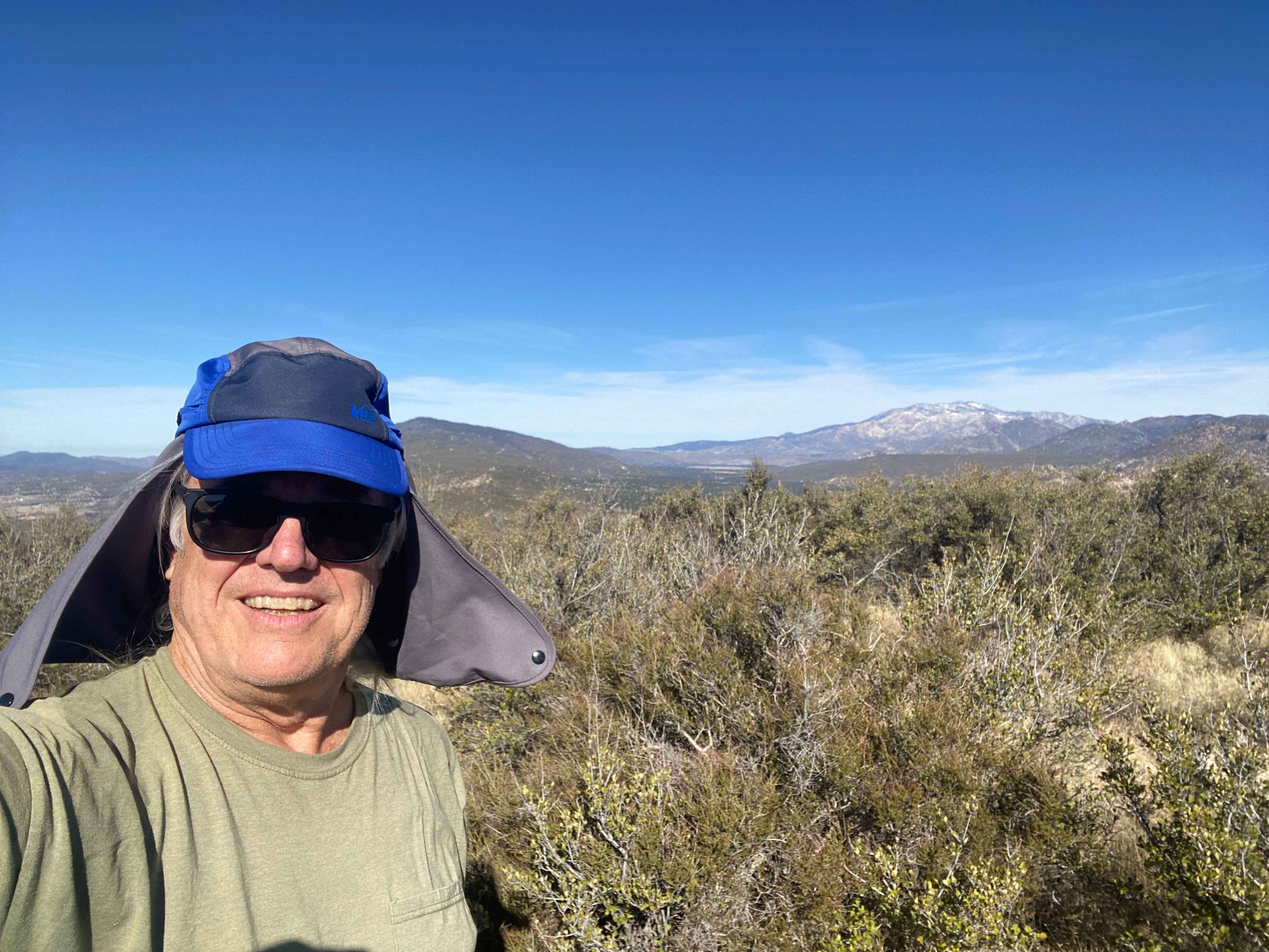
Looking east from the summit toward Toro Peak.
19 MARCH 2026 W5N/CT-104

| Elevation: | 5,590′ |
| Route: | Pacific Crest Trail and use trail |
| Hike Distance: | 4 miles round trip |
| Elevation Gain: | 1,000′ plus 400′ on the return |
| Navigation: | Moderate |
| Steepness: | Steep use trail |
| Vehicle: | Passenger car |
| Road: | Paved highway |
| Cell Coverage: | Good Verizon |
It’s always good to get what I consider to be a SOTA trifecta: a unique activation, a complete activation and a new Hundred Peaks Section (HPS) summit. Lookout Mountain (number 1 by the HPS) provided just such an opportunity.
Since I was making the drive, I figured to spend the night in Idyllwild and do Thomas Mountain in the morning before returning to the San Fernando Valley. Cassie (KG6MZR) and I have been staying with a friend since being displaced by the Palisades Fire.
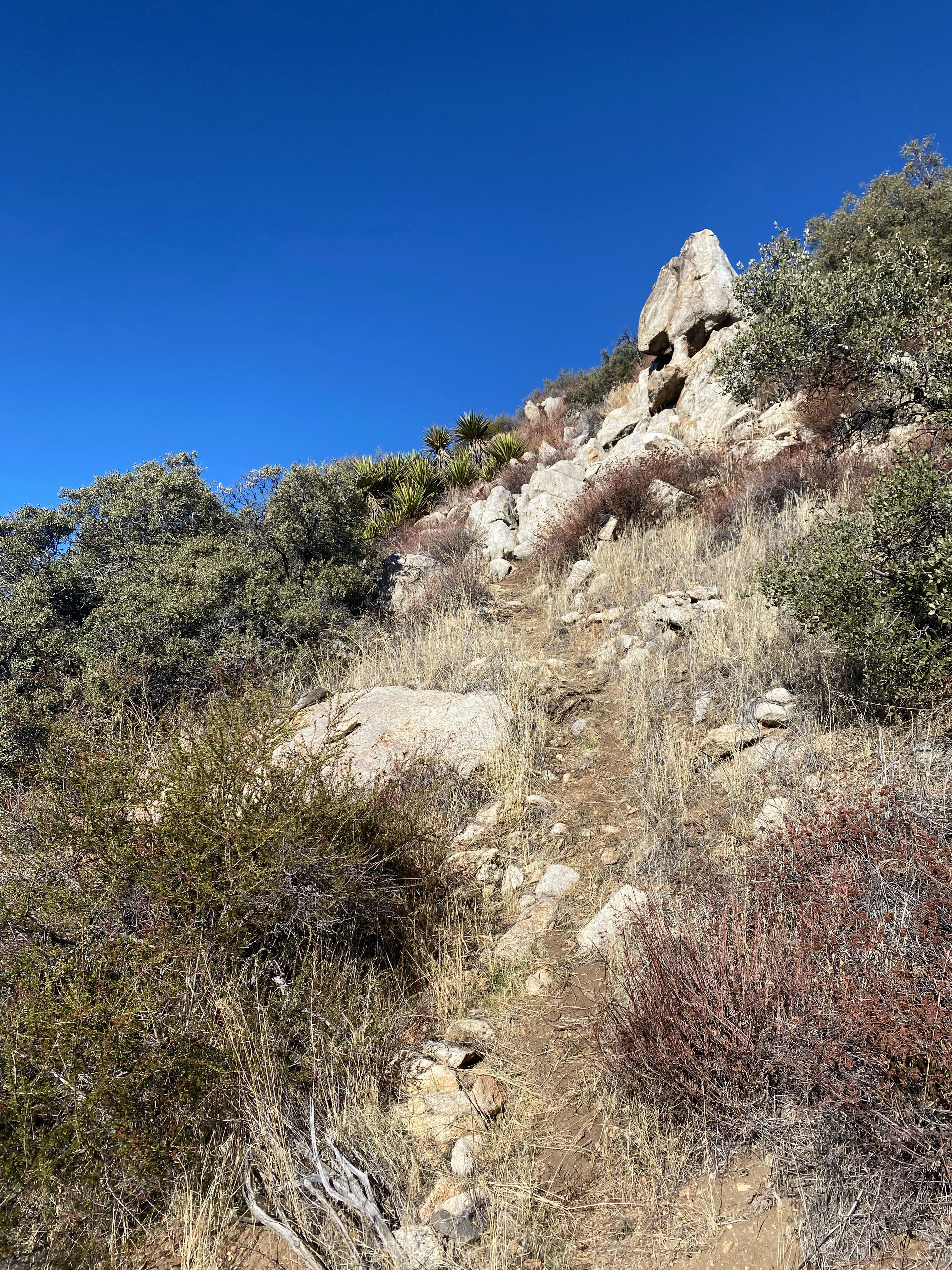
I got a pretty early start and got to the trailhead just before 8am. It was a warm, dry, clear day with a general offshore flow to the airmass over Southern California. The Pacific Crest Trail leaves Highway 74 and heads up to a small pass through a forest of large Redshanks. The trail then descends 400 feet over the next mile or so to the gully where I left the PCT at 33.54859º N, 116.57528º W and headed up a pretty well defined use trail.
The use trail is fairly obvious but I did need to backtrack a few times where animal trails threw me off.
This is a relatively seldom visited summit and the summit register went back 15 years.
Radio conditions weren’t the greatest and I missed quite a few of my regular chasers, but it was such a nice day and a peaceful summit I didn’t mind too much.


Leave a comment