
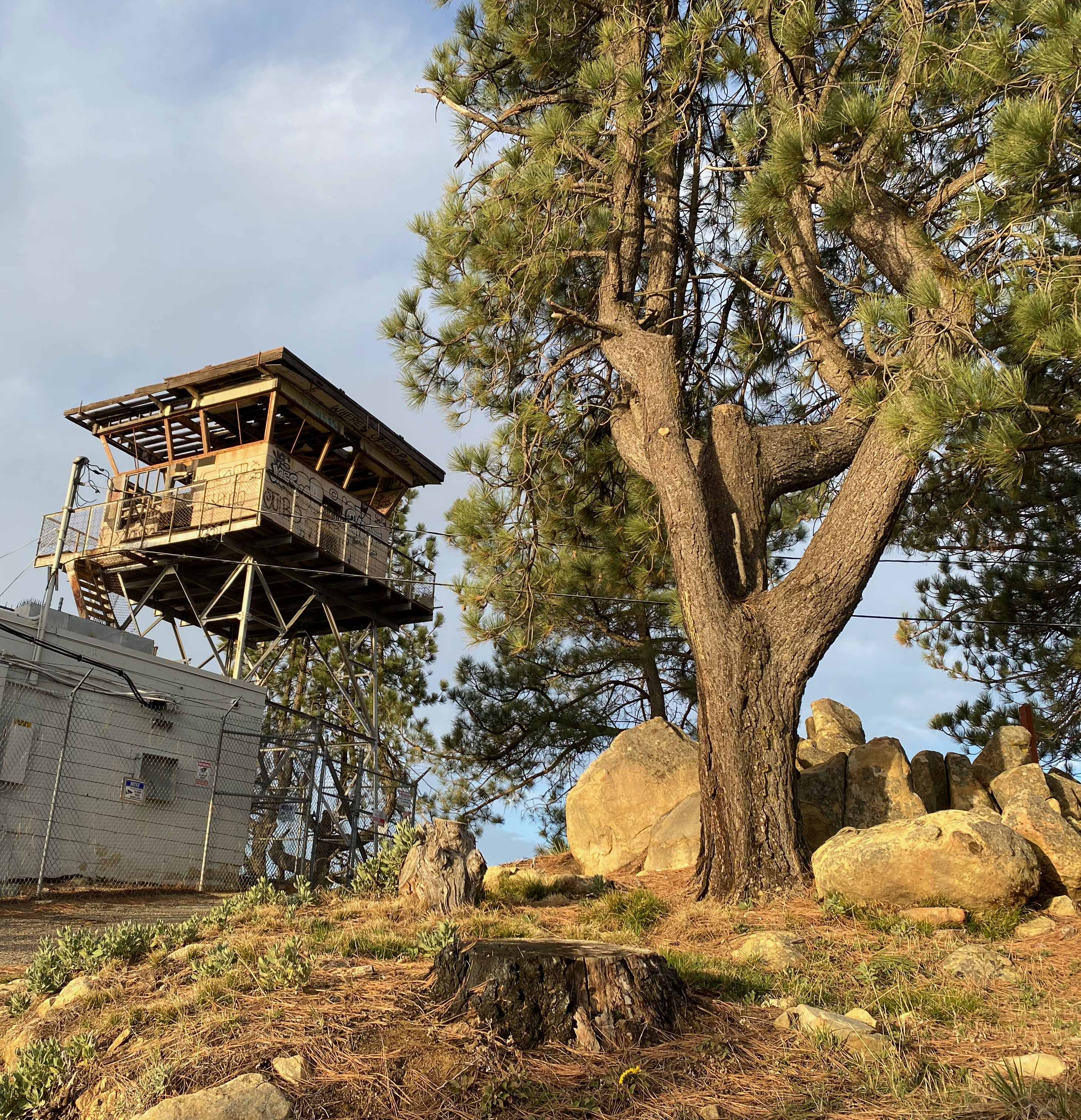
The early morning marine layer to the south of this lovely summit.
1 MARCH 2025 W6/SC-086

| Elevation: | 3,986′ |
| Route: | Almost a drive up |
| Hike Distance: | .2 miles round trip |
| Elevation Gain: | 80′ |
| Navigation: | Easy |
| Steepness: | Gentle |
| Vehicle: | Passenger car |
| Road: | Good paved road |
| Cell Coverage: | Good verizon |
Three stars for a virtual drive-up two pointer!? I just love this mountain. The Santa Ynez Range is so dynamic with unparalleled vistas of the Channel Island to the south and the great expanse of wilderness to the north. Yes, it isn’t much of a hike – and on a weekend afternoon, not much of a wilderness experience, but it still has a place in my heart.
I left Woodland Hills about 5am and was meandering up Gibraltar road as the sun came up. I had the summit picnic table, and, indeed the whole picnic area to myself.
It was a bit early for Saturday Morning chasers, but I made my contacts and moved on to W6/SC-124 further down the range.


Leave a comment