
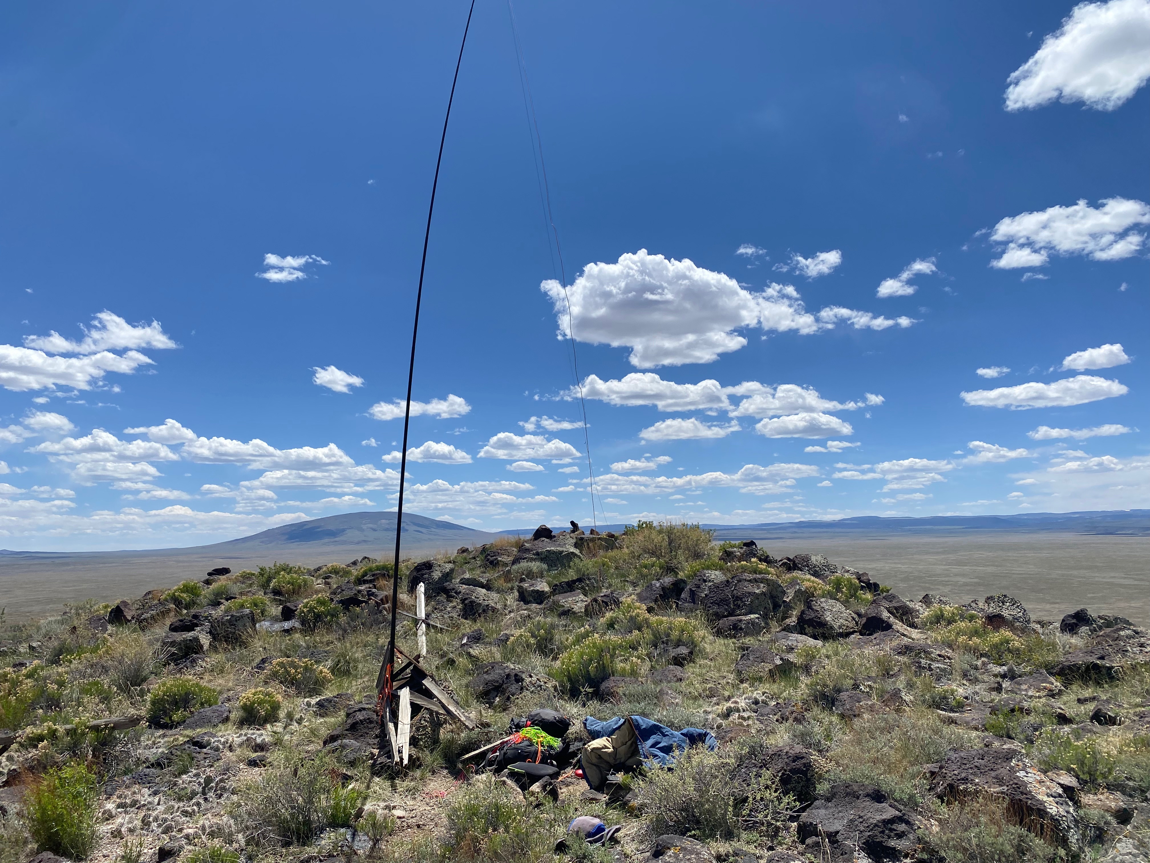
Looking southeast Twin Benchmark is visable as the shaded hills below and to the left of Ute Mountain.
17 MAY 2025 W0C/RG-174 First Activation

| Elevation: | 8,284′ |
| Route: | Cross country |
| Hike Distance: | 1.5 miles round trip |
| Elevation Gain: | 500′ |
| Navigation: | Easy |
| Steepness: | Moderate* |
| Vehicle: | Passenger car |
| Road: | Good dirt road** |
| Cell Coverage: | n/a |
After activating Twin Benchmark for the first time, I went after another first time a activation: Saritas Benchmark. Coincidentally both summits are exactly 8,284′!
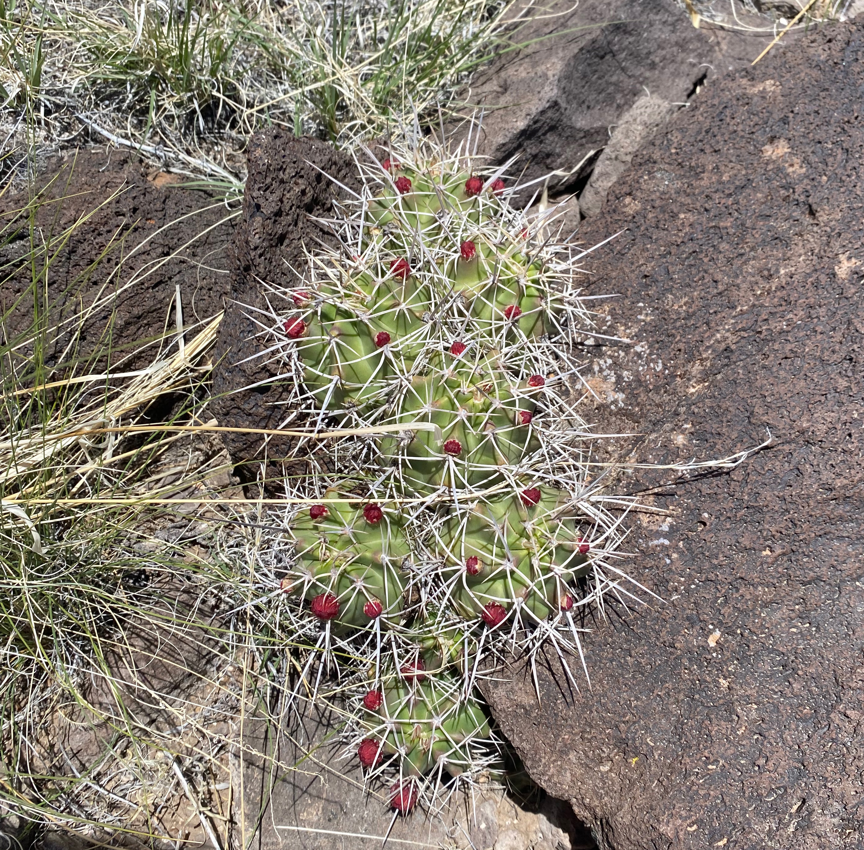
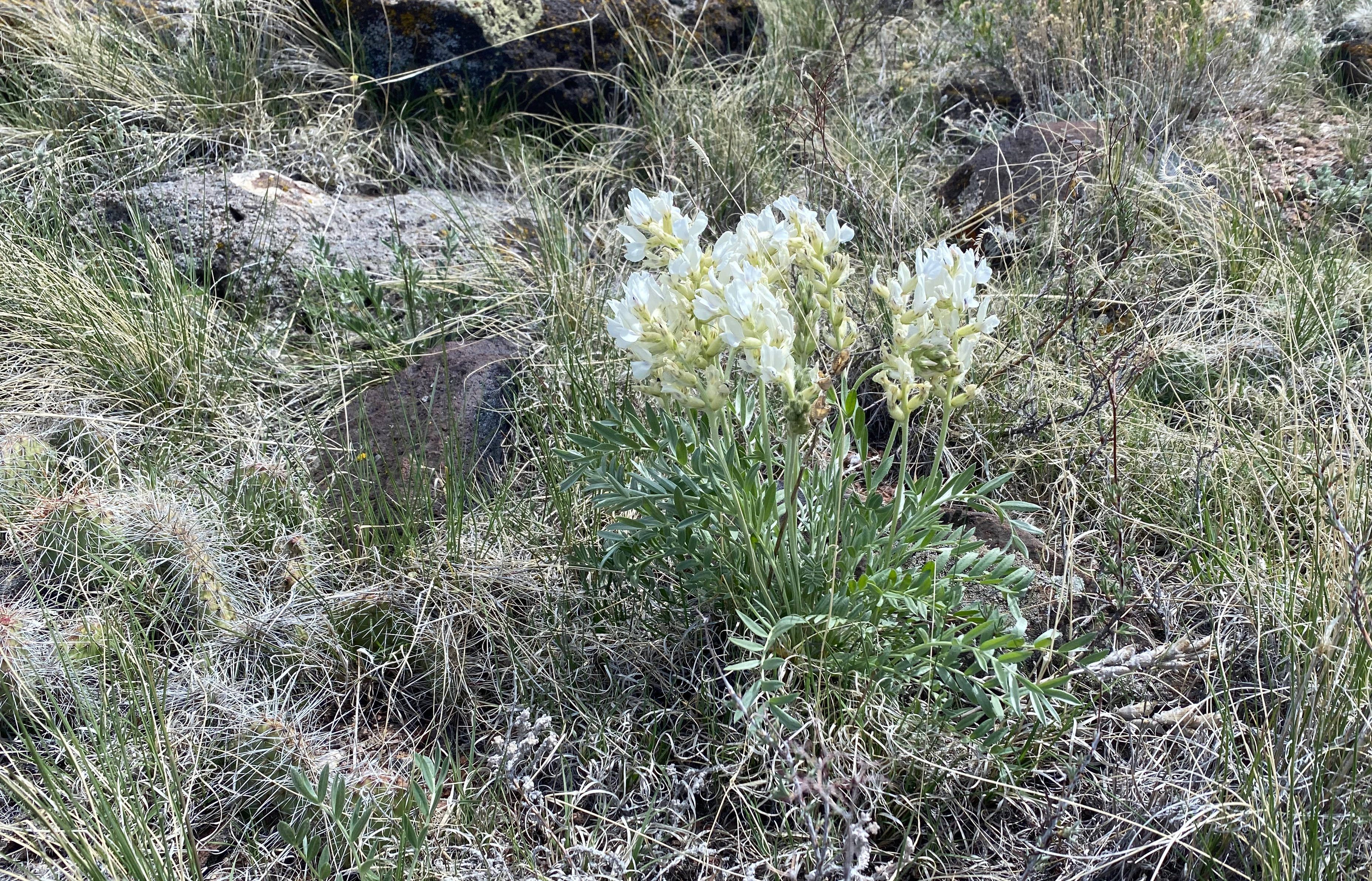
The wind that had started on Twin was becoming stronger. NOAA had forecast gusts up to 30 MPH and that usually means that or more on summits. The hike crosses over to private land from BLM land just after a false summit and the sturdy barbed wire fence can be stepped over on some large basalt blocks. There are no “no trespassing” or “private property” signs. What looks like uninteresting dun colored hills are actually alive with wildflowers and cactus upon closer inspection.
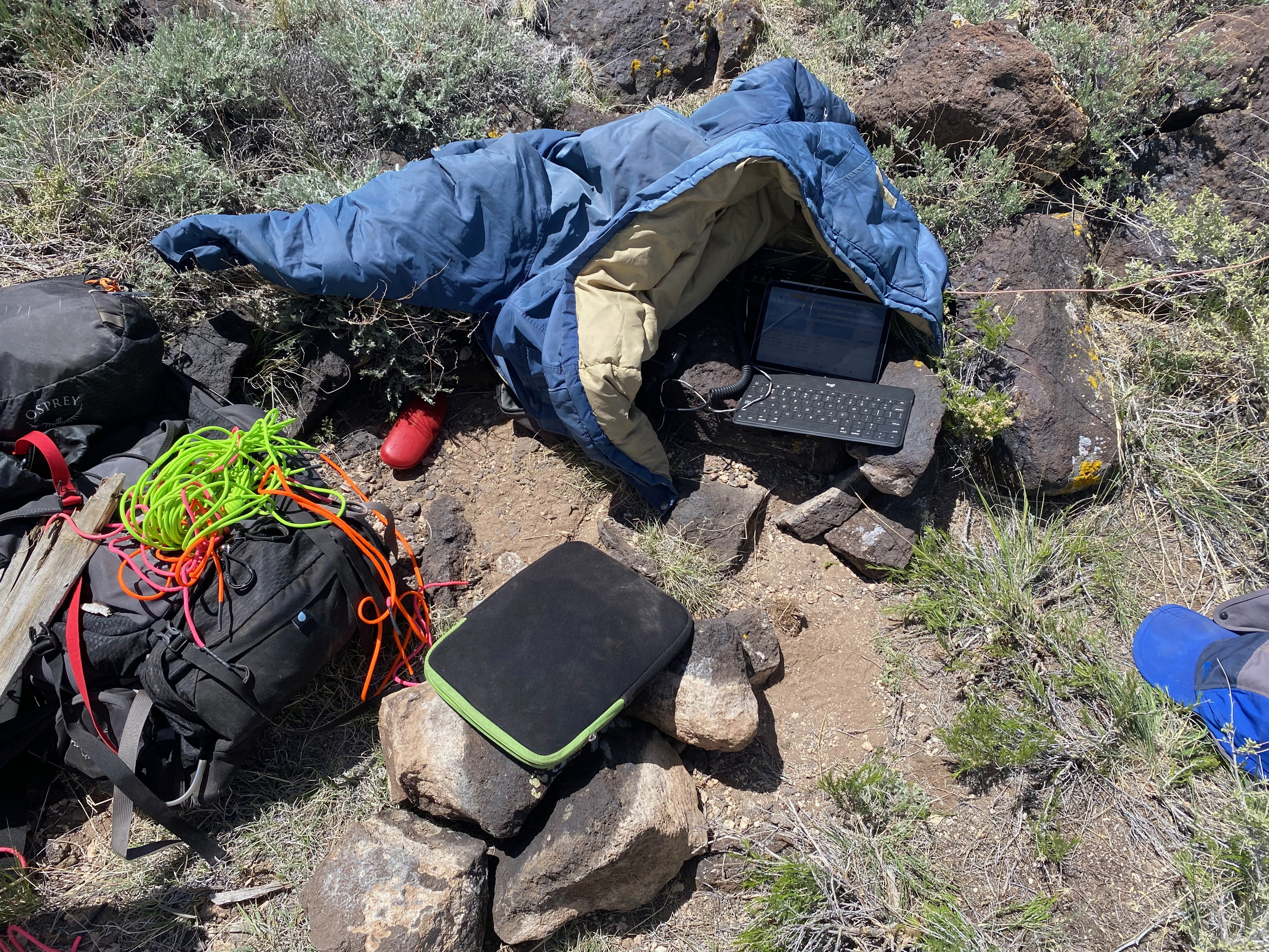
Once on the summit it was difficult to find a place out of the wind and a place to secure a mast. I had decided to forsake the table and chair in an effort to lighten my pack and speed up the ascent. It turns out that a chair is pretty important to my nearly 70-year-old frame for a lengthy and comfortable activation.
I fastened the mast to the wreckage of the ancient weather station and this produced less-than-satisfactory results. The mast kept blowing over making a tough activation more difficult. Furthermore the bad HF conditions I experienced on Two just got worse and I began to worry that I wouldn’t succeed in activating this one.
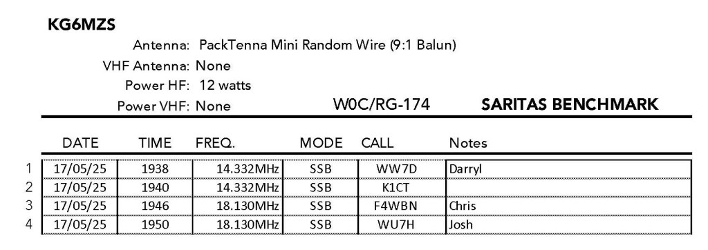
Fortunately faithful SOTA hardcores Darryl WW7D and Josh WU7H came through. Even more surprising was Chris F4WBN making the trip from France! He was barely there but I got him.


Leave a comment