
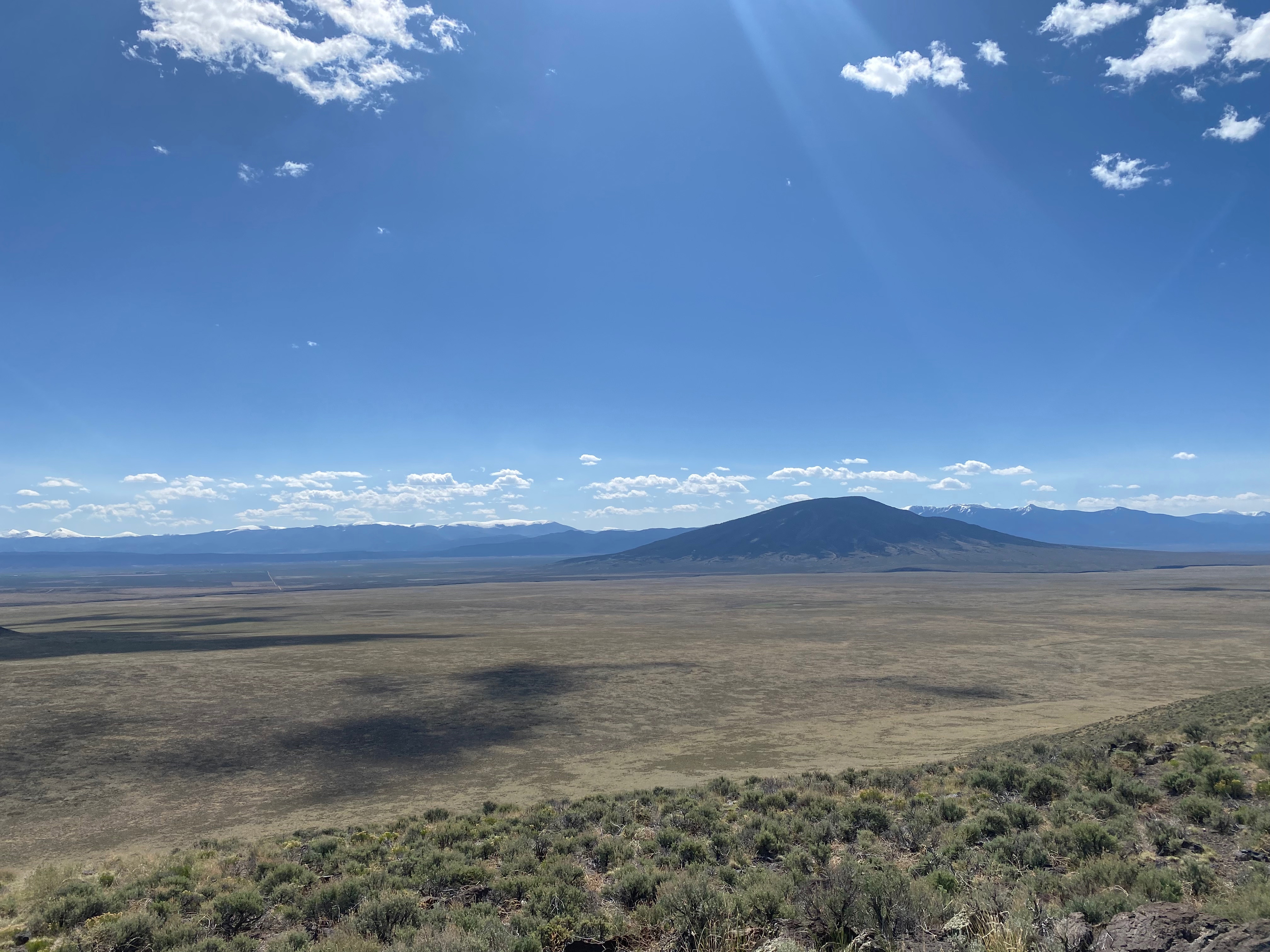
Looking south to the smaller Twin that lies in the state of New Mexico.
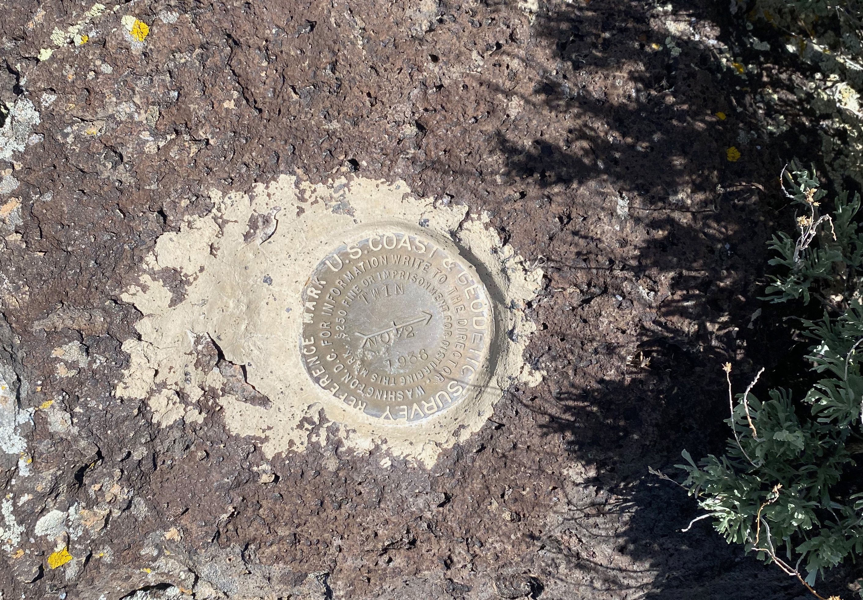
17 MAY 2025 W0C/RG-164 – First Activation

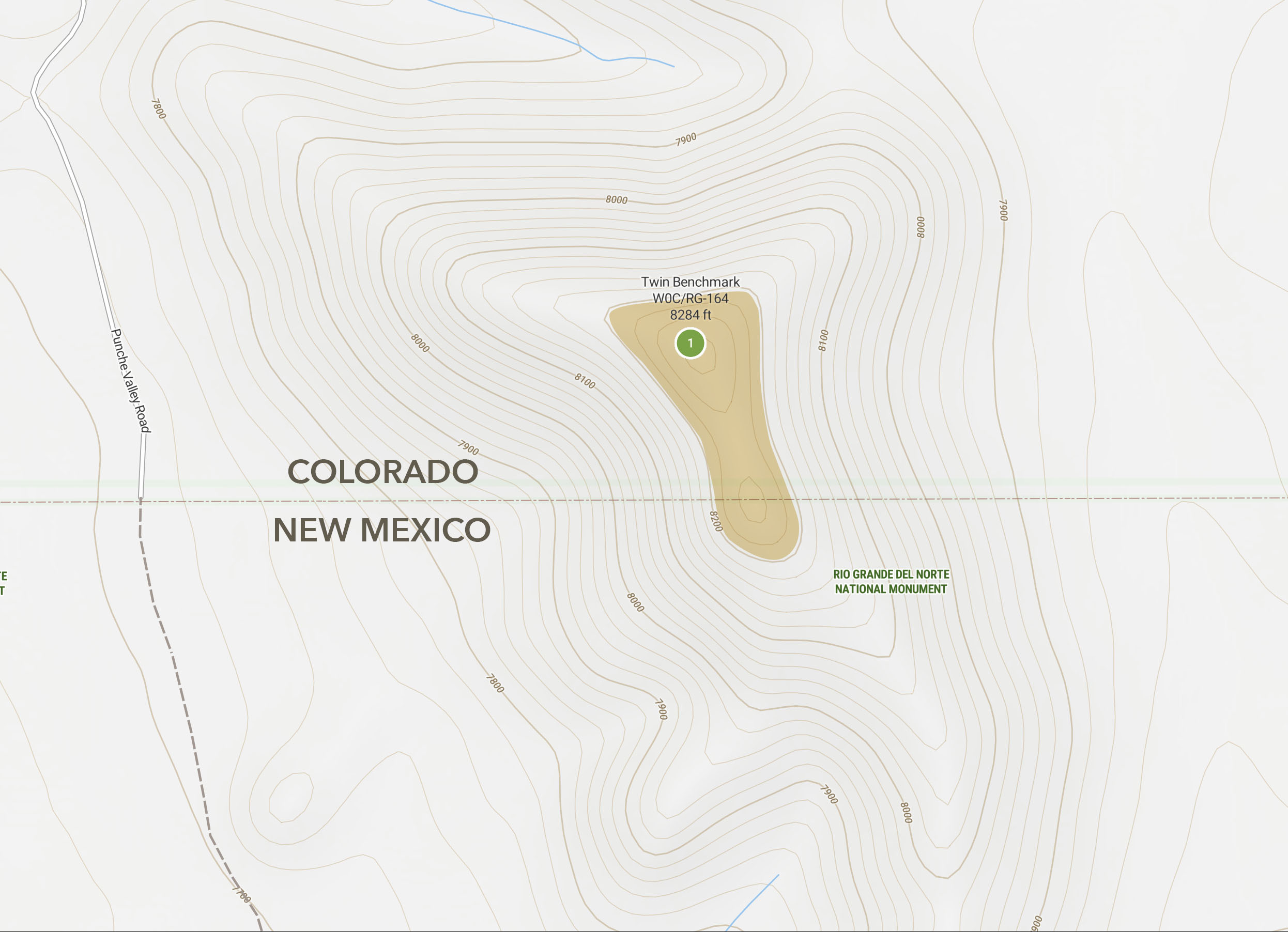
| Elevation: | 8,284′ |
| Route: | Cross country |
| Hike Distance: | 1.5 miles round trip |
| Elevation Gain: | 525′ |
| Navigation: | Easy |
| Steepness: | Moderately steep |
| Vehicle: | Passenger car* |
| Road: | Excellent dirt roads* |
| Cell Coverage: | Very good Verizon |
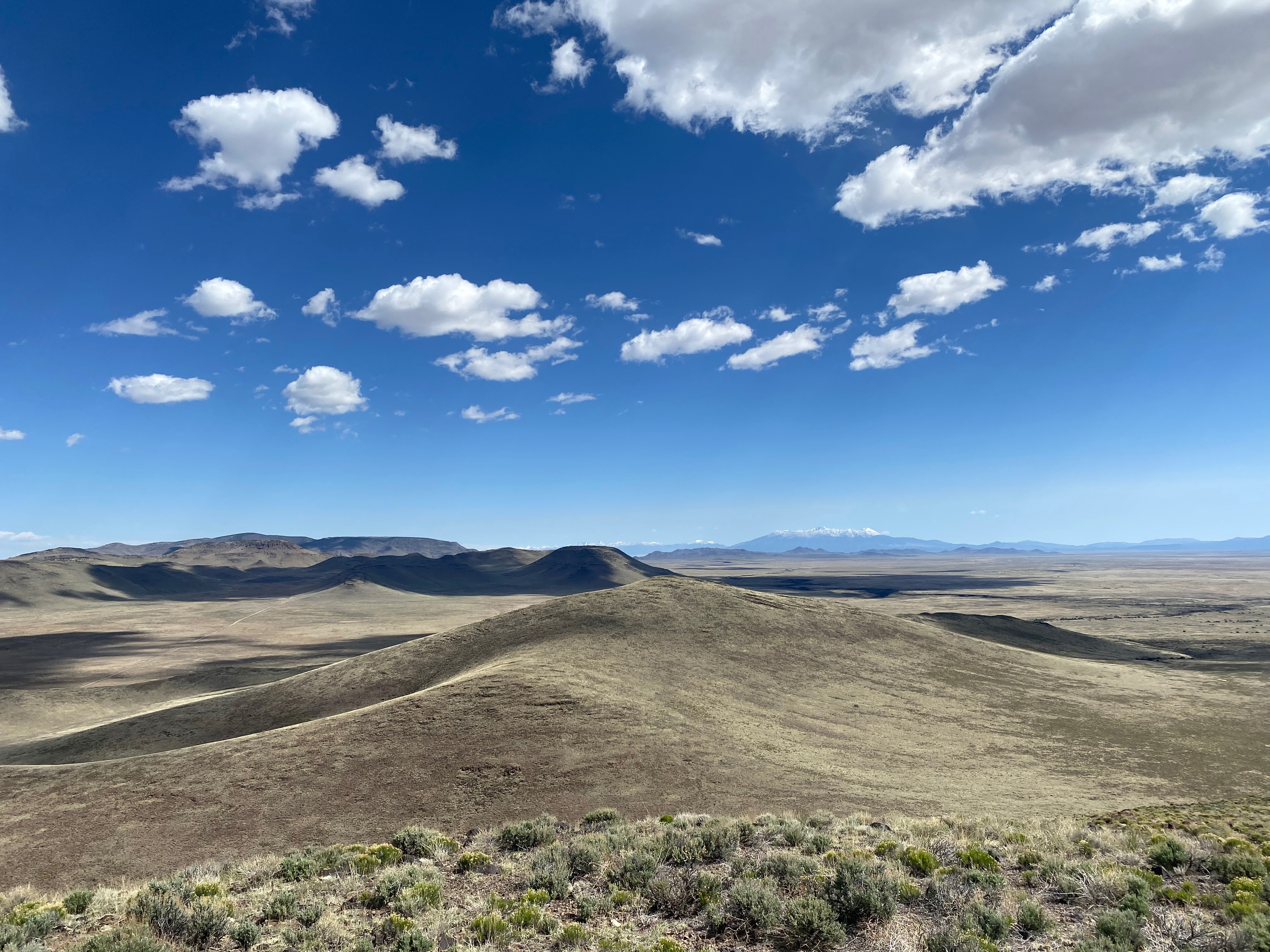
The San Luis Hills are one of my favorite places to wander in solitude. On this trip I activated two previously unactivated summits and didn’t see another soul all day – not even on the very well-maintained dirt roads that connect them. Quite a surprise for a nice spring Saturday!
The Taos Plateau was absolutely radiant at sunrise. As I drove across the farmland after Antonito I was a little alarmed to see all the low-lying areas flooded given I was headed for a lot of dirt roads that tend to get quite sticky with that special flavor of volcanic mud only found on the Taos Plateau. To my pleasant surprise, not only were all the higher roads dry, they were maintained about as well as any dirt road can be. I wonder why Costilla County spends so much on a road that doesn’t seem to go anywhere.
The hike is quite direct with slightly unstable footing of tussocks, lava detritus, cactus and scrub.
This summit has an interesting feature. It is actually two summits as one might expect from a benchmark called Twin. One summit, the higher, is in Colorado. The other is in New Mexico. The activation zone extends between the two. It underlines the disparity in SOTA activation points to note that if the southern summit was just a few feet higher, this would be an 8 point summit and not a 2 pointer. I figure if you activate this one from the New Mexico side, you should get 8 points 😉
This summit was also notable for the fact that in 270 activations that I have carried a first aid kit, this is the first time I have needed to use it on myself (I have used it for others).
On this summit, like the next one after this, there was some kind of wreckage. I think these must’ve been old weather stations or something like that. Among the weathered wood is a bunch of rusted guy wire that is the same color of the basaltic lava rock. This stuff is hard to see and easy to trip over, as I discovered. I was setting up when my feet became entangled in this treacherous, camouflaged stuff and I came down hard on my left hand.
The link below are photos before and after my first aid job:

Radio conditions were execrable. 20m was the only band that seemed to be working and that was probably only because there was no background noise. I did manage to pull Chris F4WBN out on two bands, but it was tough.


Leave a comment