
Sunrise to the east over the southernmost Sangre de Christo Mountains. Poquaque, Nambe and Espanola Valleys below.
1 NOVEMBER 2025 W5N/SE-033

| Elevation: | 8,533′ |
| Route: | Forest Service Road |
| Hike Distance: | .7 miles round trip* |
| Elevation Gain: | 200’* |
| Navigation: | Easy |
| Steepness: | Gentle |
| Vehicle: | High clearance 4WD |
| Road: | Rough dirt road |
| Cell Coverage: | Excellent Verizon |
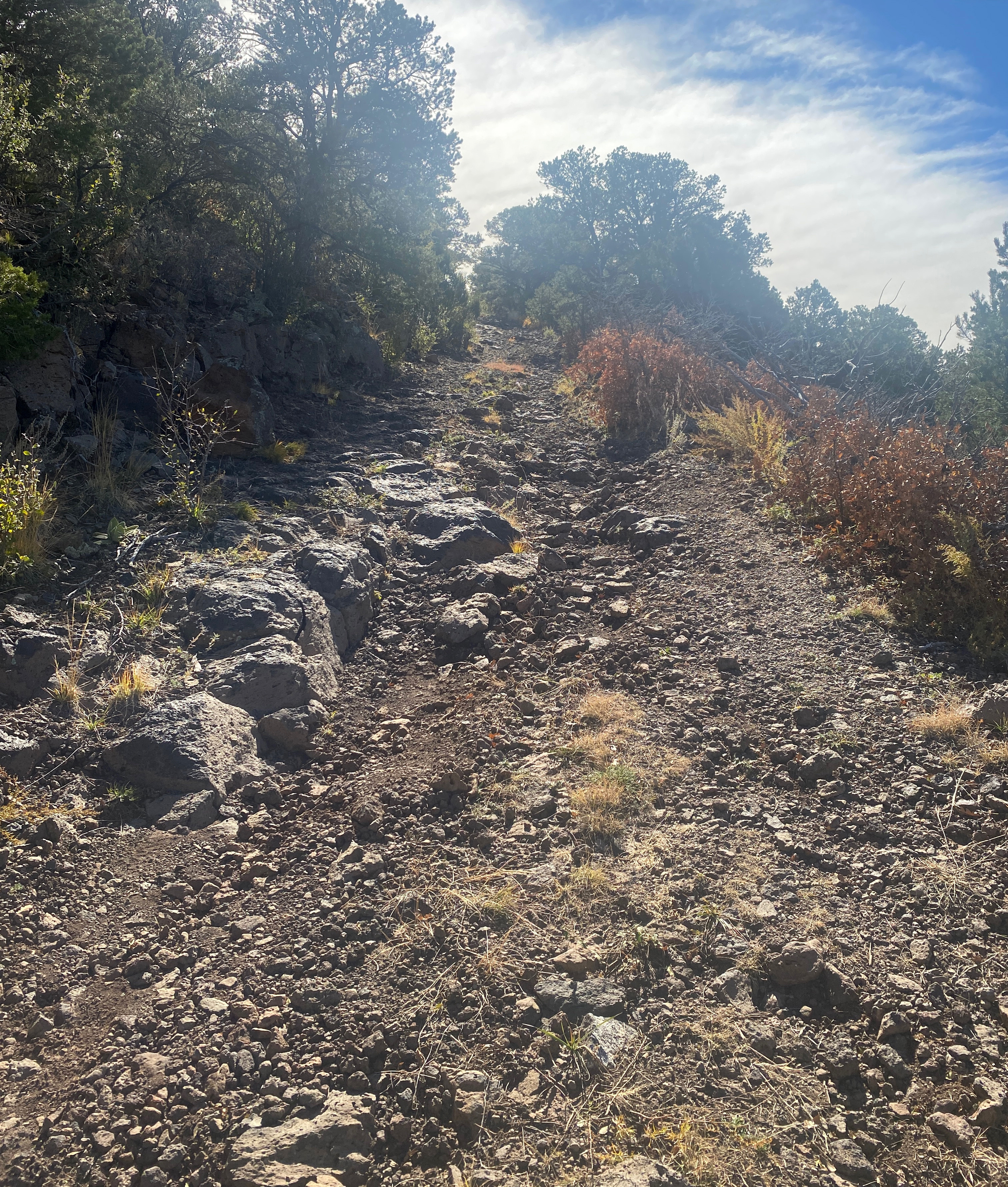
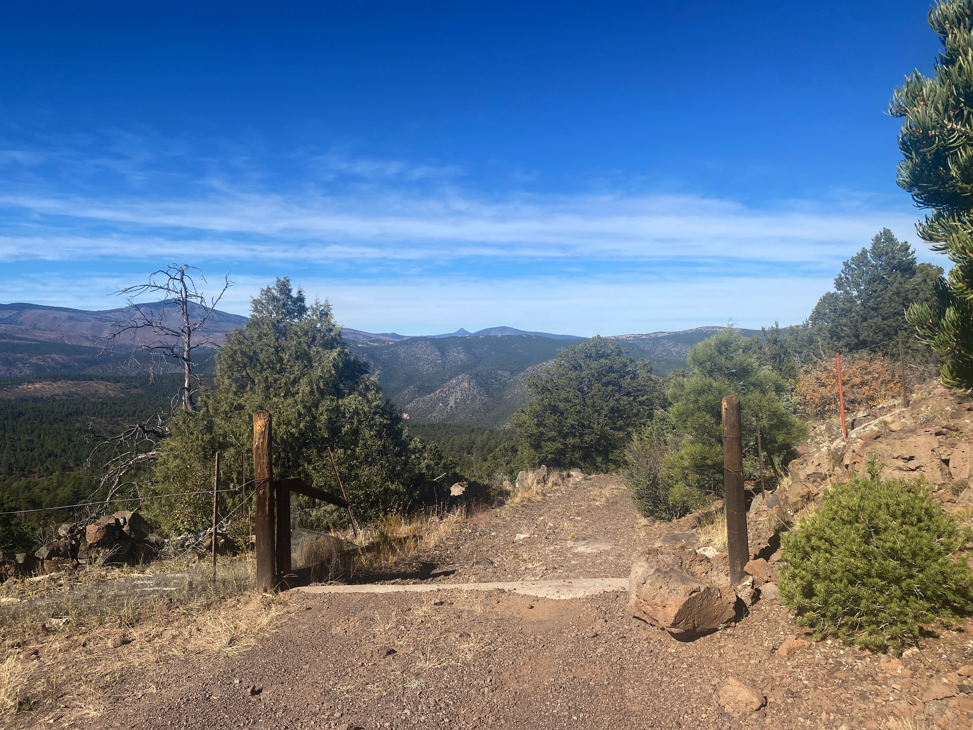
Since I can see this summit from my rented studio window in Nambe, it has been on my mind to climb for a while now. When I did Chicoma Mountain a few weeks ago, I scoped out this approach. Alan NM5S’ comment made in 2012 about the Clara Peak spur road largely holds true in 2025 with perhaps a bit more rocks. I parked a little short of the summit with respect for my OHV driving skills. That, and I wanted a little bit of a walk.
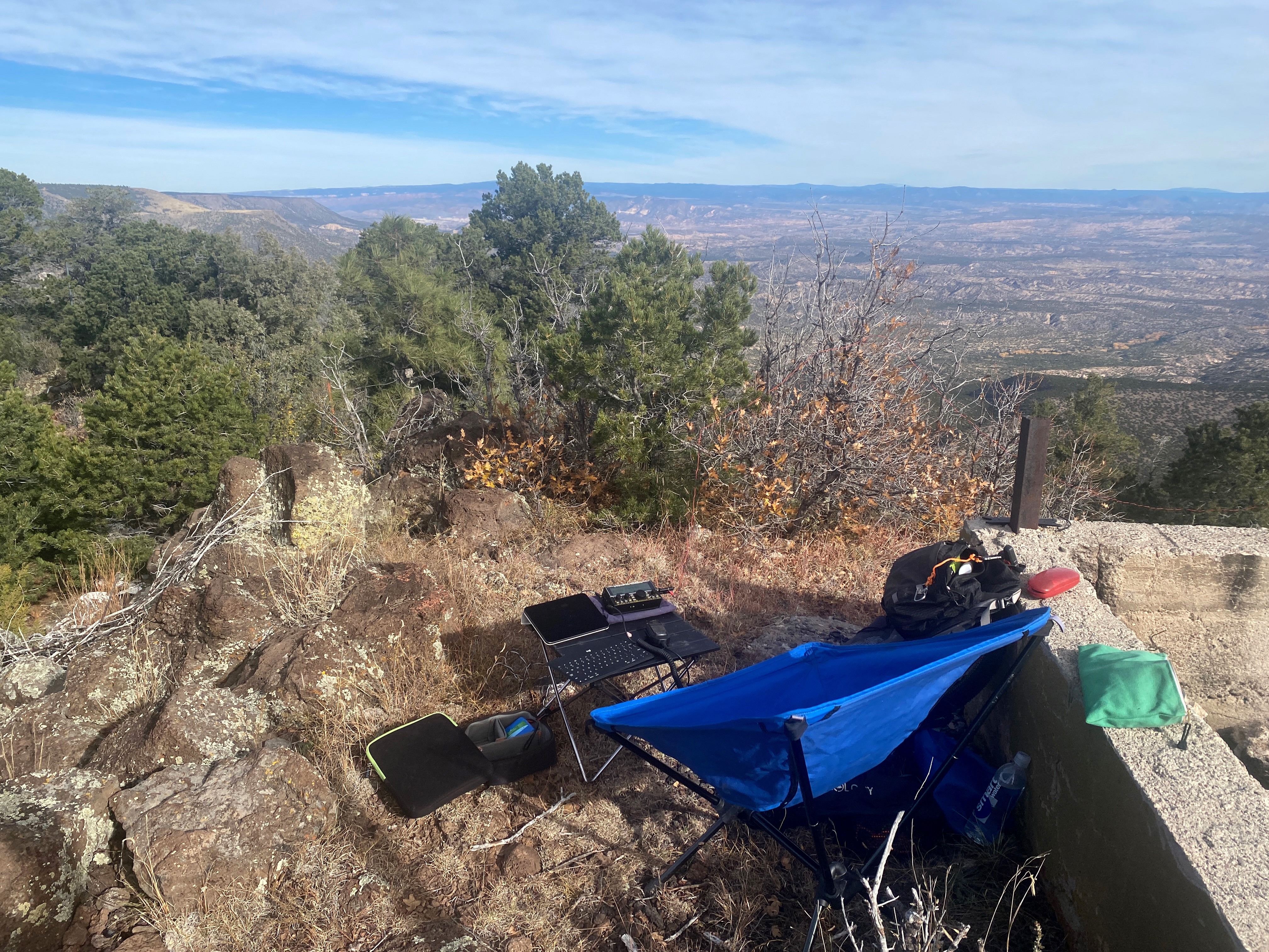
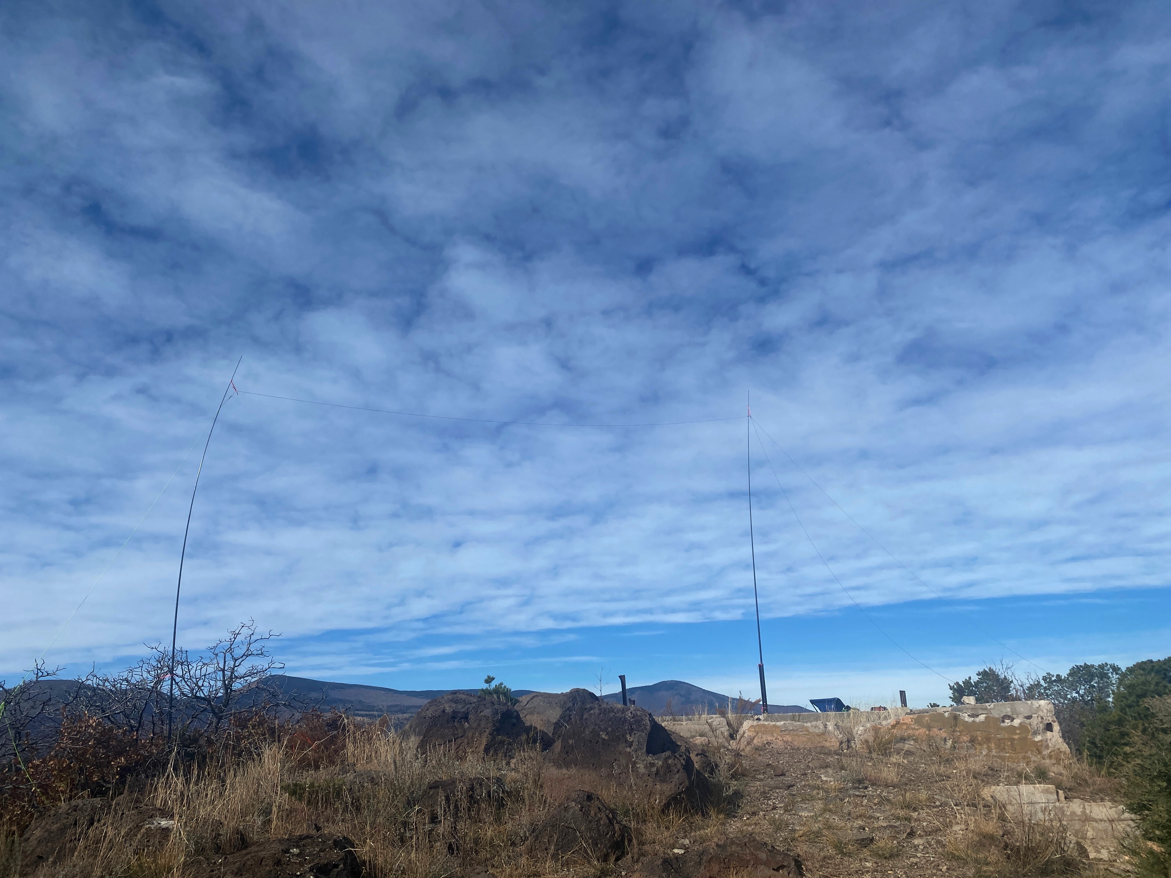
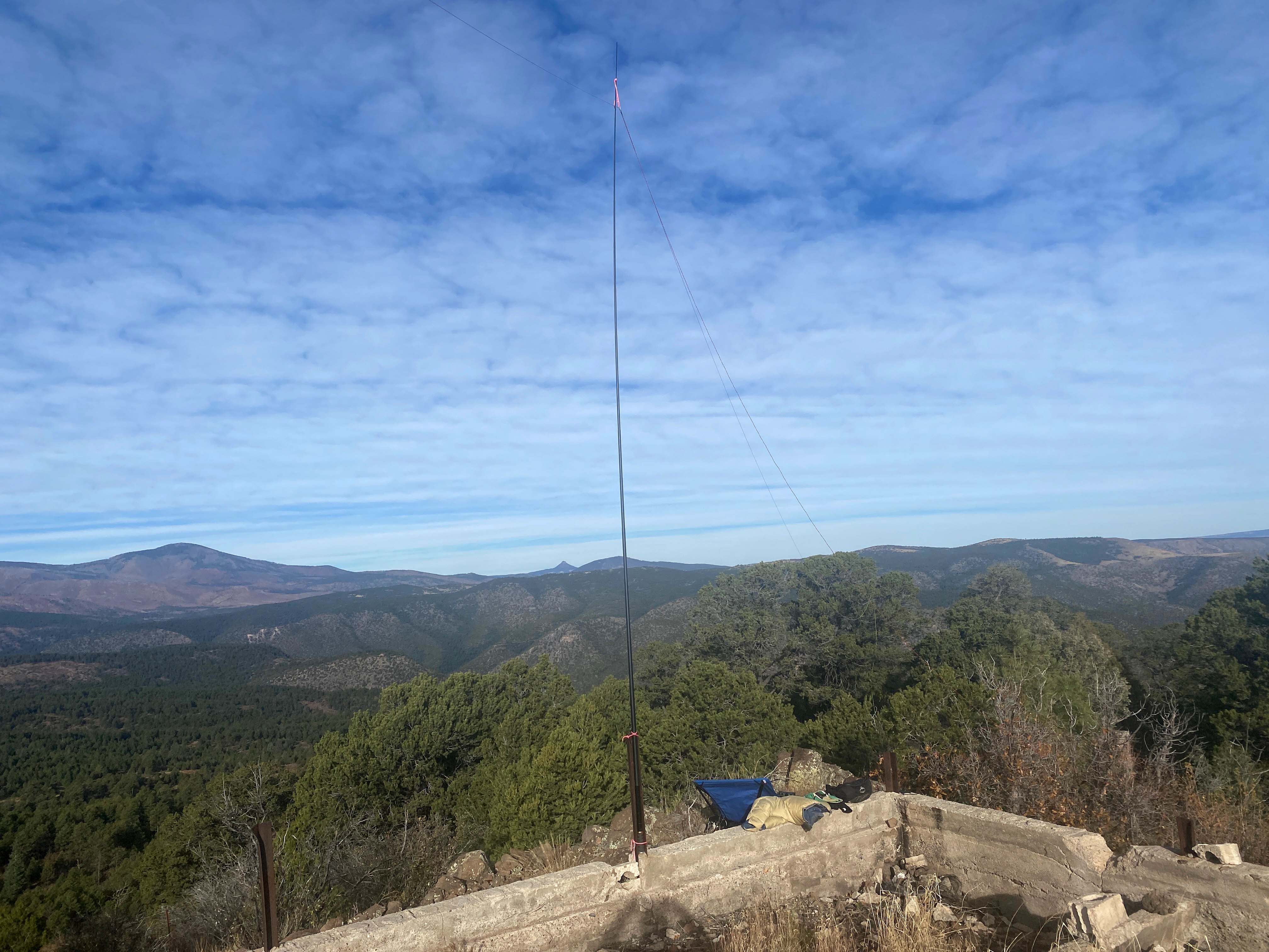
The summit was once the site of a fire lookout tower and looks like many such sites. There is a parking area and a little trail up to the foundation. With plenty of ways to set up my doublet, I took the time to use that more elaborate antenna in hopes of making quite a few contacts.
I was not disappointed!
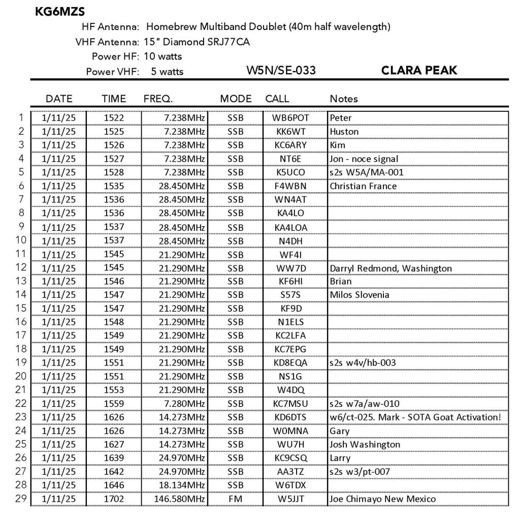
The activation was a smashing success with 29 contacts on 8 bands. Christian, as usual, boomed in from France along with Milos from Slovenia. Also 5 summit-to-summit contacts, but the big news was to work Mark KD7DTS on his SOTA Goat activation on Josephine Peak back in Southern California. CONGRATULATIONS MARK!


Leave a comment