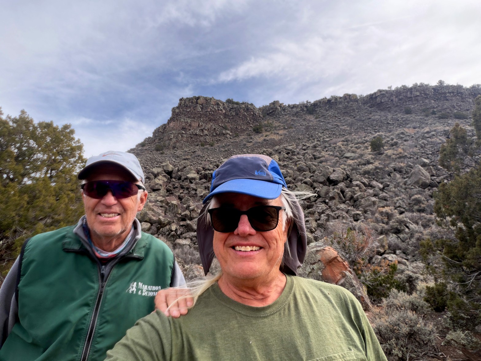
Venerable SOTA Goat Fred KT5X showing the new guy the ropes. La Mesita behind us. 16 FEBRUARY 2026 W5N/SS-039 Elevation: 7,024′ Route: Cross country Hike Distance: 1.6 miles round trip Elevation Gain: 400′ Navigation: Tricky Steepness: Steep gaining the mesa Vehicle: Passenger car Road: Good dirt road* Cell Coverage: Excellent Verizon * When dry! EverContinue reading “La Mesita”
Monthly Archives: February 2026
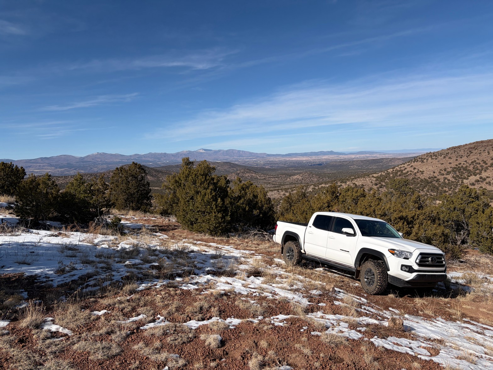
Colorado Peak
Looking south to the Sandia Crest. 7 FEBRUARY 2026 W5N/SE-050 Elevation: 7,306′ Route: Cross country Hike Distance: 1 mile round trip Elevation Gain: 325′ Navigation: Easy Steepness: Mild Vehicle: High clearance, all terrain tires recommended Road: Dirt road Cell Coverage: Excellent Verizon Hike basics After doing Tetilla in the morning, I felt like exploring theContinue reading “Colorado Peak”
Tetilla Peak
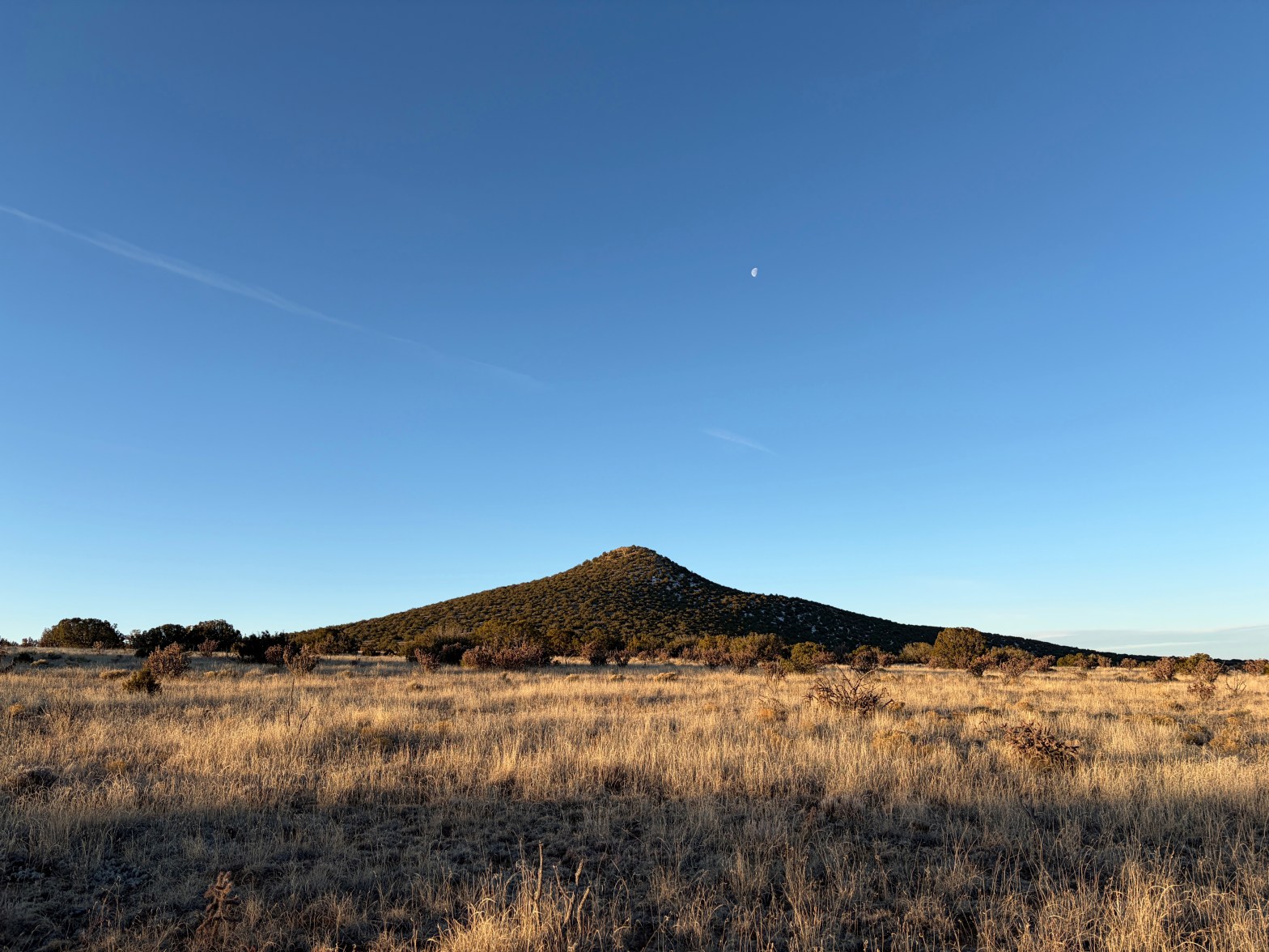
Tetilla Mountain at dawn looking very much like its namesake 7 FEBRUARY 2026 W5N/SE-044 Elevation: 7,201′ Route: Cross country Hike Distance: 1.75 miles round trip* Elevation Gain: 525′ Navigation: Easy Steepness: Moderate Vehicle: High clearance, all terrain tires recommended Road: Dirt road Cell Coverage: Excellent Verizon Your mileage will vary depending on where you park.Continue reading “Tetilla Peak”
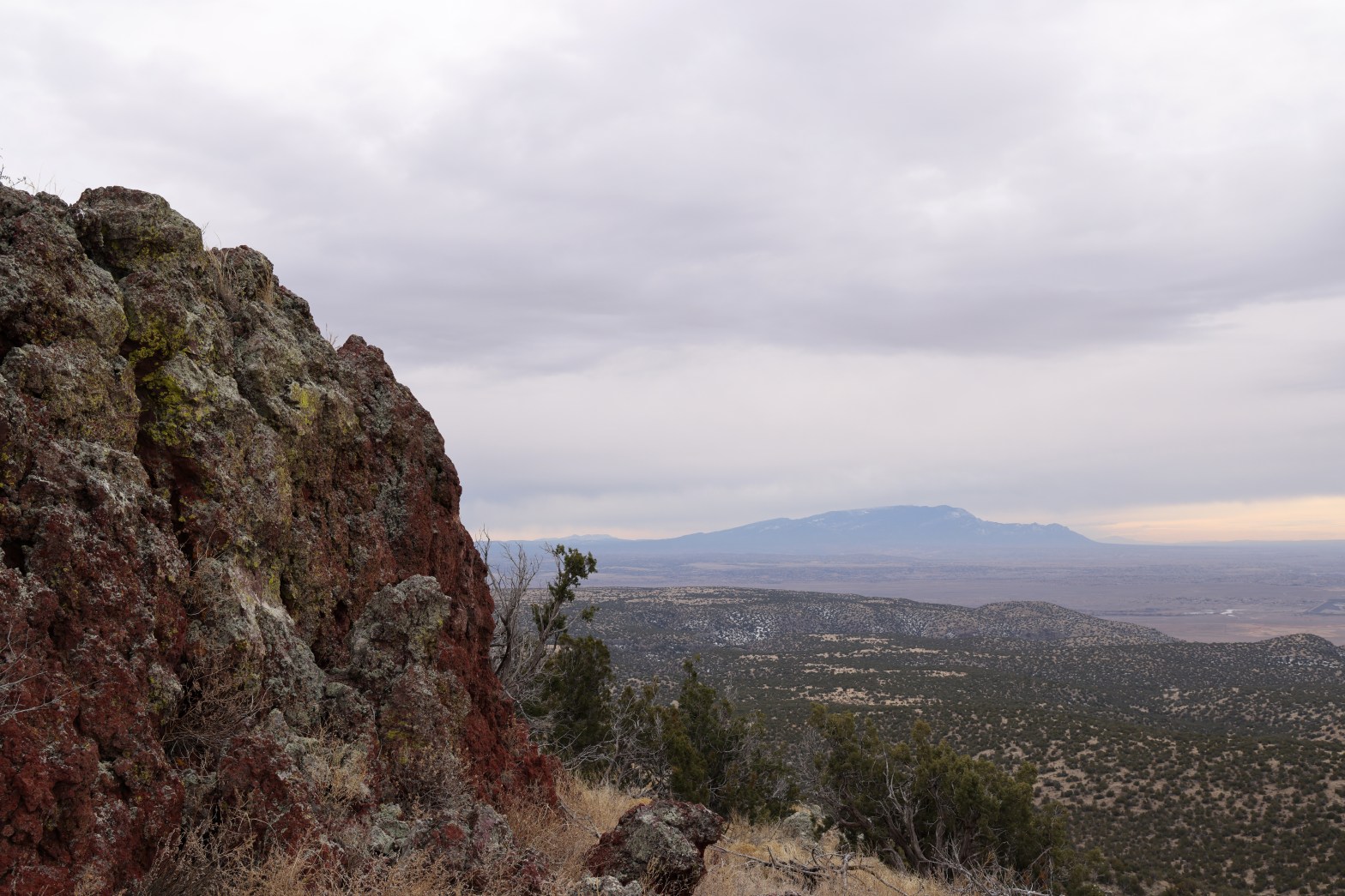
Caja del Rio Plateau
An exciting drive, Whitedog waits in front of a northwest view of Parajito, Chicoma, Clara and Roman above Los Alamos. 1 FEBRUARY 2026 W5N/SE-037 Elevation: 7,470” Route: Cross country Hike Distance: .5 miles round trip Elevation Gain: 100′ Navigation: Easy* Steepness: Gentle Vehicle: High clearance 4WD with all terrain tires** Road: Rocky Cell Coverage: GoodContinue reading “Caja del Rio Plateau”
