
★★☆☆ First time activation. Excellent dirt roads provide easy access to this easy hike with wonderful views. The activation zone lies in both Colorado and New Mexico.
Author Archives: wringmaster
Wild Bill Hill
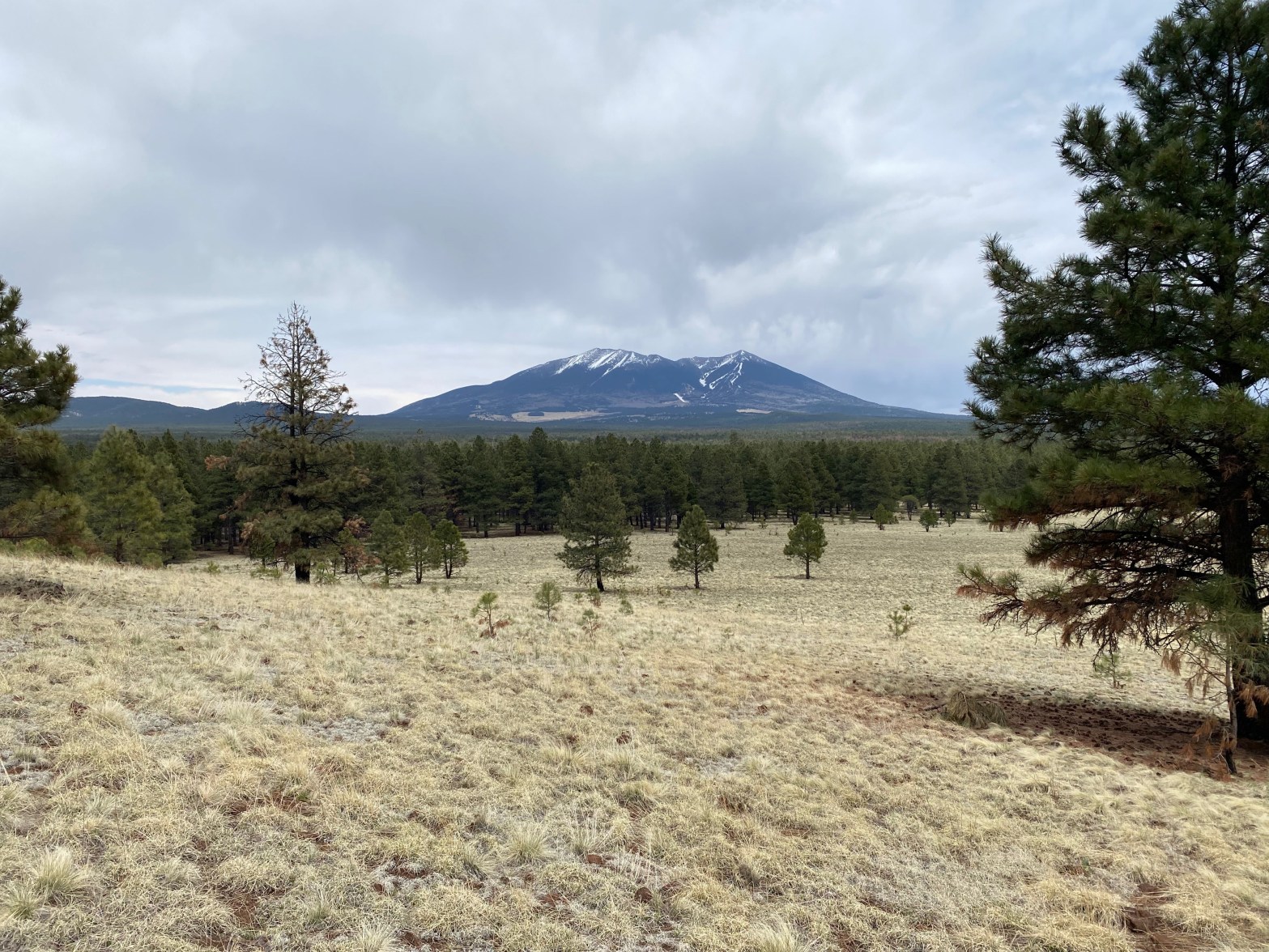
★☆☆☆ Nice hike across the Coconino Plateau. Forested summit with not much of a view. However much more of a wilderness experience than nearby Wing Mountain.
Wing Mountain
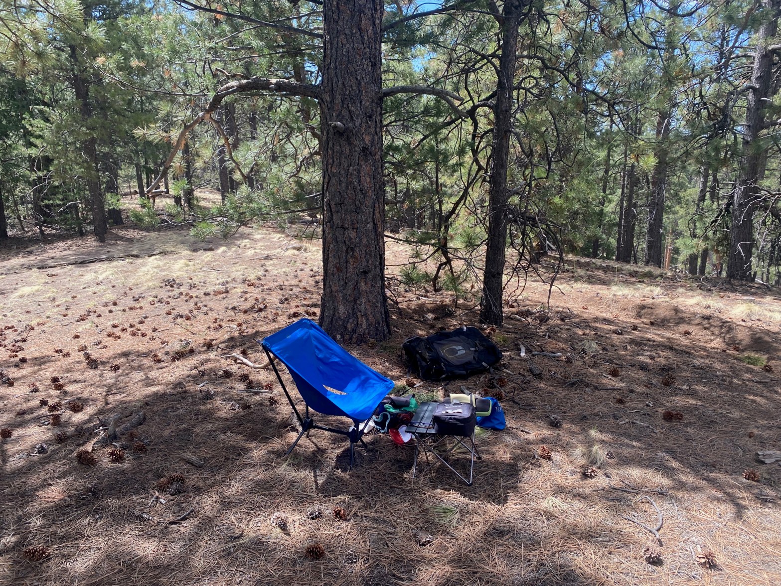
The station on this forested summit 3 MAY 2025 W7A/CS-008 Elevation: 8,573′ Route: Cross country Hike Distance: 1.8 miles round trip Elevation Gain: 900′ Navigation: Easy Steepness: Extremely steep Vehicle: High clearance vehicle suggested Road: Dirt road with ruts Cell Coverage: Good Verizon Hike basics This summit area is popular with dirt bikers and firearmContinue reading “Wing Mountain”
South Turkey Hills

Looking west from the summit to Elden Mountain and Mount Humphreys. 2 MAY 2025 W7A/CS-045 Elevation: 7,425′ Route: Short 4WD tracks Hike Distance: .9 miles round trip Elevation Gain: 175′ Navigation: Easy Steepness: Steep Vehicle: 4WD suggested Road: Deep cinder dirt Cell Coverage: Good Verizon Hike basics I left the LA Basin at 5am andContinue reading “South Turkey Hills”
Piute Butte

Granite Boulders on the way up to the wonderful sounding Piute Butte. 20 APRIL 2025 W6/ND-340 Elevation: 3,176′ Route: Cross country Hike Distance: 1.25 miles round trip Elevation Gain: 450′ Navigation: Easy Steepness: Moderate Vehicle: Passenger car Road: Paved road Cell Coverage: Good Verizon Hike basics Piute Butte. I love just saying that! What aContinue reading “Piute Butte”
Alpine Butte

Alpine Butte is a modest pile of granite in the Antelope Valley. 20 APRIL 2025 W6/ND-334 Elevation: 3,248′ Route: Cross country Hike Distance: .4 miles round trip Elevation Gain: 190′ Navigation: Easy Steepness: A little steep Vehicle: Passenger car Road: Sandy dirt road Cell Coverage: Good Verizon Hike basics My brother Mark and I headedContinue reading “Alpine Butte”
Cahuilla Mountain

My brother Mark far ahead on this enjoyable hike. 13 APRIL 2025 W6/CT-103 Elevation: 5,636′ Route: Well graded trail Hike Distance: 5.8 miles round trip Elevation Gain: 1,200′ Navigation: Easy Steepness: Gentle Vehicle: High clearance vehicle suggested Road: Rutted dirt road Cell Coverage: Good Verizon Hike basics To use N7DA Drew’s words: “Cahuilla Mountain isContinue reading “Cahuilla Mountain”
Little Cahuilla Mountain

Little Cahuilla Mountain from the Cahuilla Mountain trail. Note the saddle to the right of the summit. 12 APRIL 2025 W6/CT-253 Elevation: 5,043′ Route: Bushy cross country Hike Distance: 2.4 miles round trip Elevation Gain: 600′ Navigation: Moderate Steepness: Moderate Vehicle: High clearance vehicle suggested Road: Rutted forest service road Cell Coverage: Good Verizon HikeContinue reading “Little Cahuilla Mountain”
Valley View Benchmark

Valley View Benchmark is a lovely summit. Not sure what kind of bird that is – maybe a condor? (See below) 29 MARCH 2025 W6/SC-377 Elevation: 735′ Route: Trail Hike Distance: 2.5 miles round trip Elevation Gain: 550′ Navigation: Easy Steepness: Pretty steep in one place Vehicle: Passenger car Road: Paved Cell Coverage: Good fromContinue reading “Valley View Benchmark”
Agua Dulce Benchmark

Looking west across the station to Hines Peak and Ventura and Santa Barbara Summits 25 MARCH 2025 W6/CT-273 Elevation: 2,844′ Route: Cross country Hike Distance: 1.5 miles round trip Elevation Gain: 800′ Navigation: Easy Steepness: Moderately steep Vehicle: Passenger car Road: Paved road Cell Coverage: Good Verizon Hike basics Looking for an easy new oneContinue reading “Agua Dulce Benchmark”
