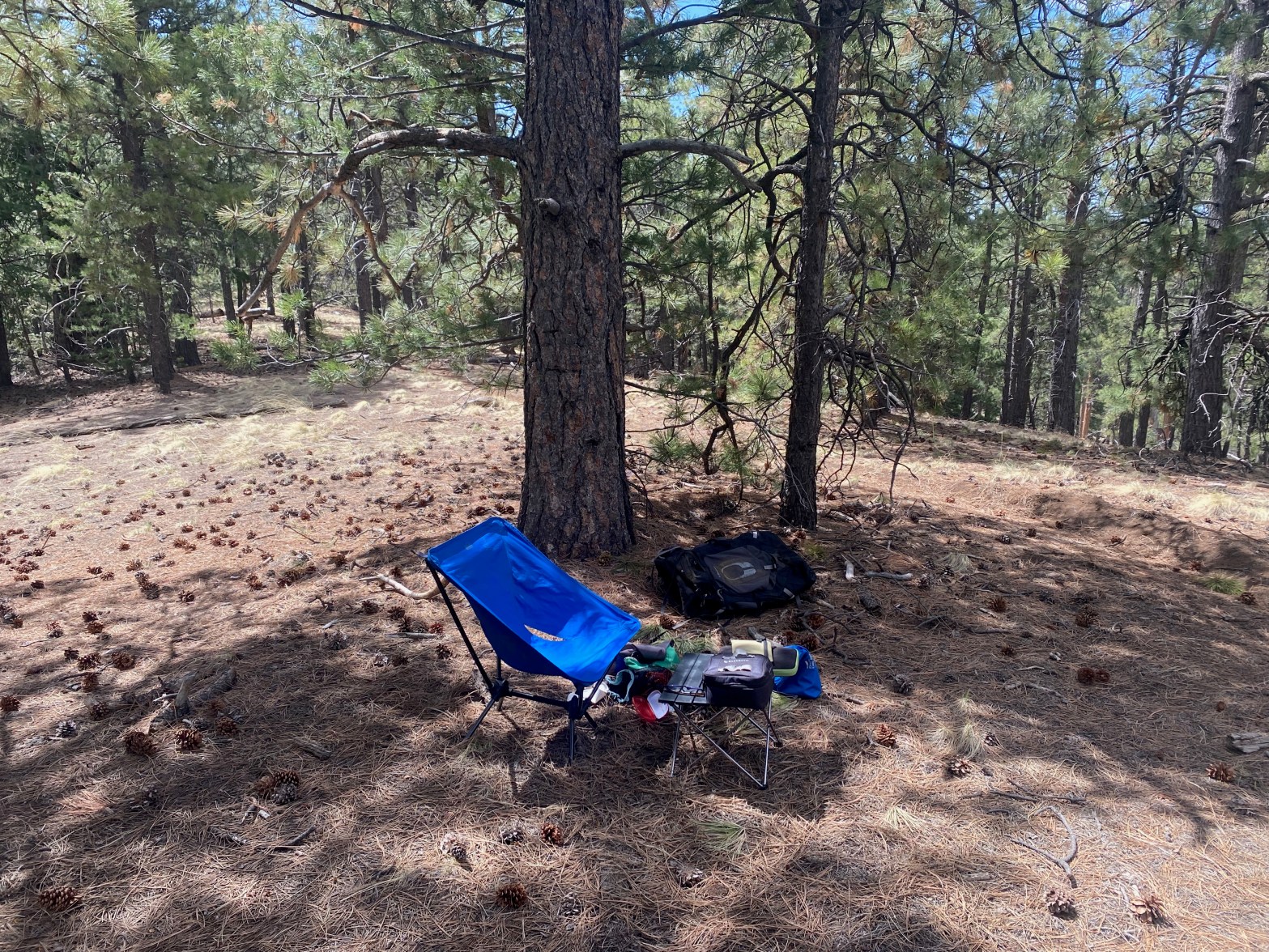
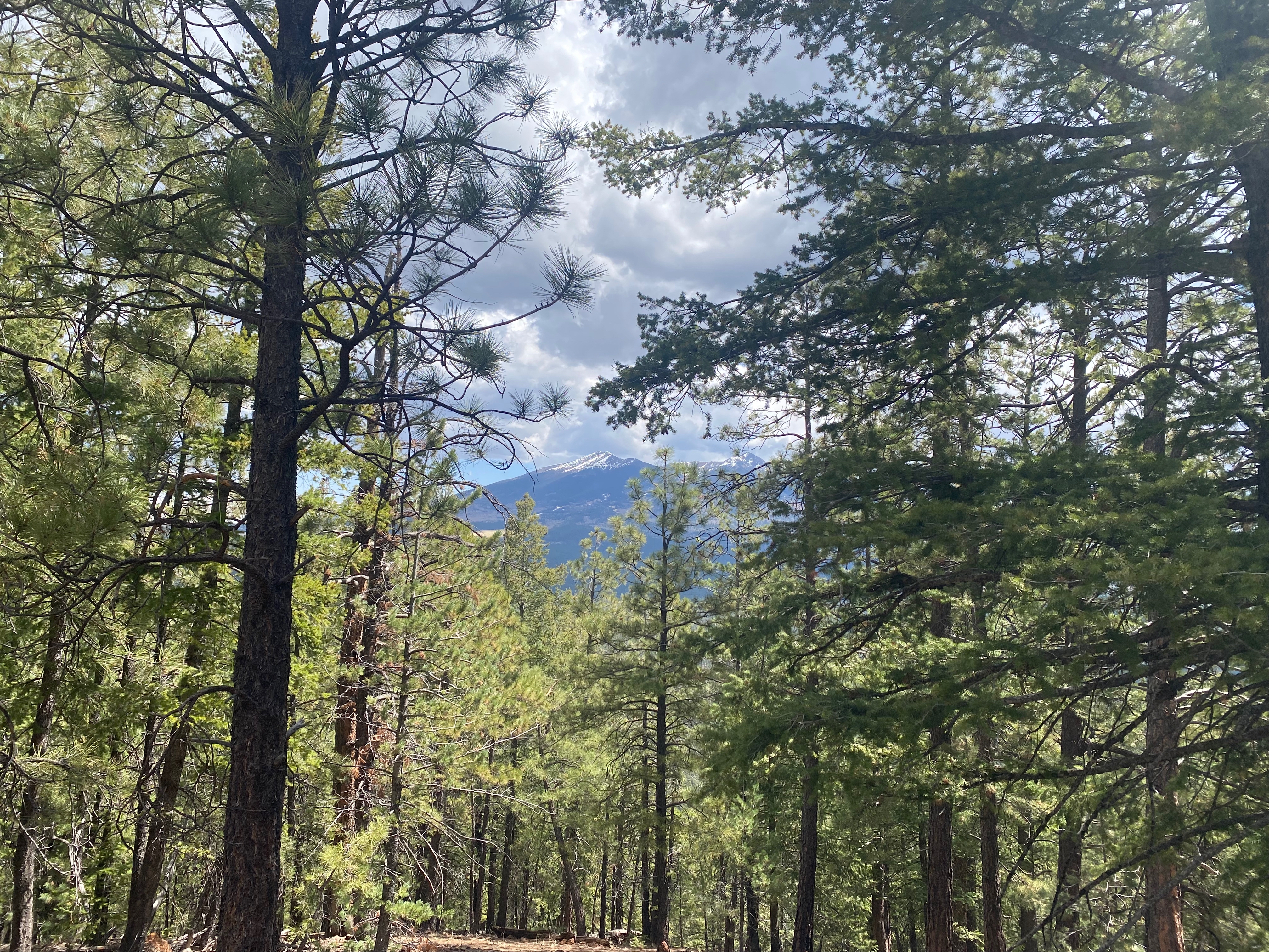
The station on this forested summit

3 MAY 2025 W7A/CS-008
| Elevation: | 8,573′ |
| Route: | Cross country |
| Hike Distance: | 1.8 miles round trip |
| Elevation Gain: | 900′ |
| Navigation: | Easy |
| Steepness: | Extremely steep |
| Vehicle: | High clearance vehicle suggested |
| Road: | Dirt road with ruts |
| Cell Coverage: | Good Verizon |
This summit area is popular with dirt bikers and firearm enthusiasts. My activation was punctuated by the whine of two-stroke engines and semi-automatic gunfire. Not very relaxing. Too bad, because in a more peaceful environment this would be a nice spot. I guess there should be a place for everyone’s preferred recreational activity.
A perplexing array of marked and unmarked roads make finding the trailhead challenging. I would have no trouble driving a passenger car here, your mileage may vary.
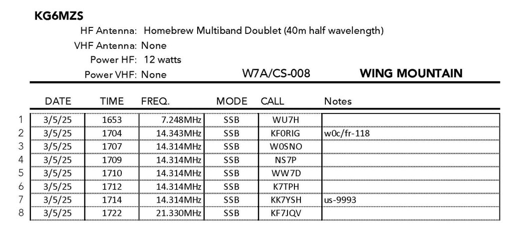
Radio conditions were again difficult.

Leave a comment