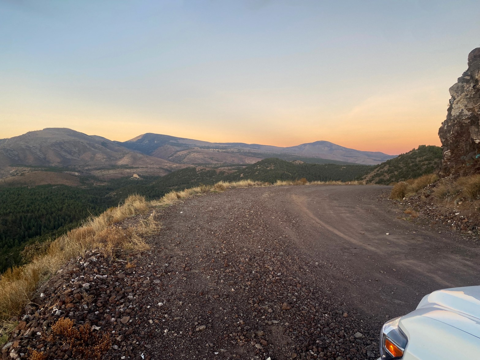
☆☆☆☆ The best “no star” summit you will ever do. Horrible hike, not much of a view and a long dirt road drive, but SO much fun!
Category Archives: Uncategorized
Clara Peak

★★☆☆ This former fire lookout commands a fine view of the Española, Nambe & Pojoaque Valleys.
Cerro Grande x2
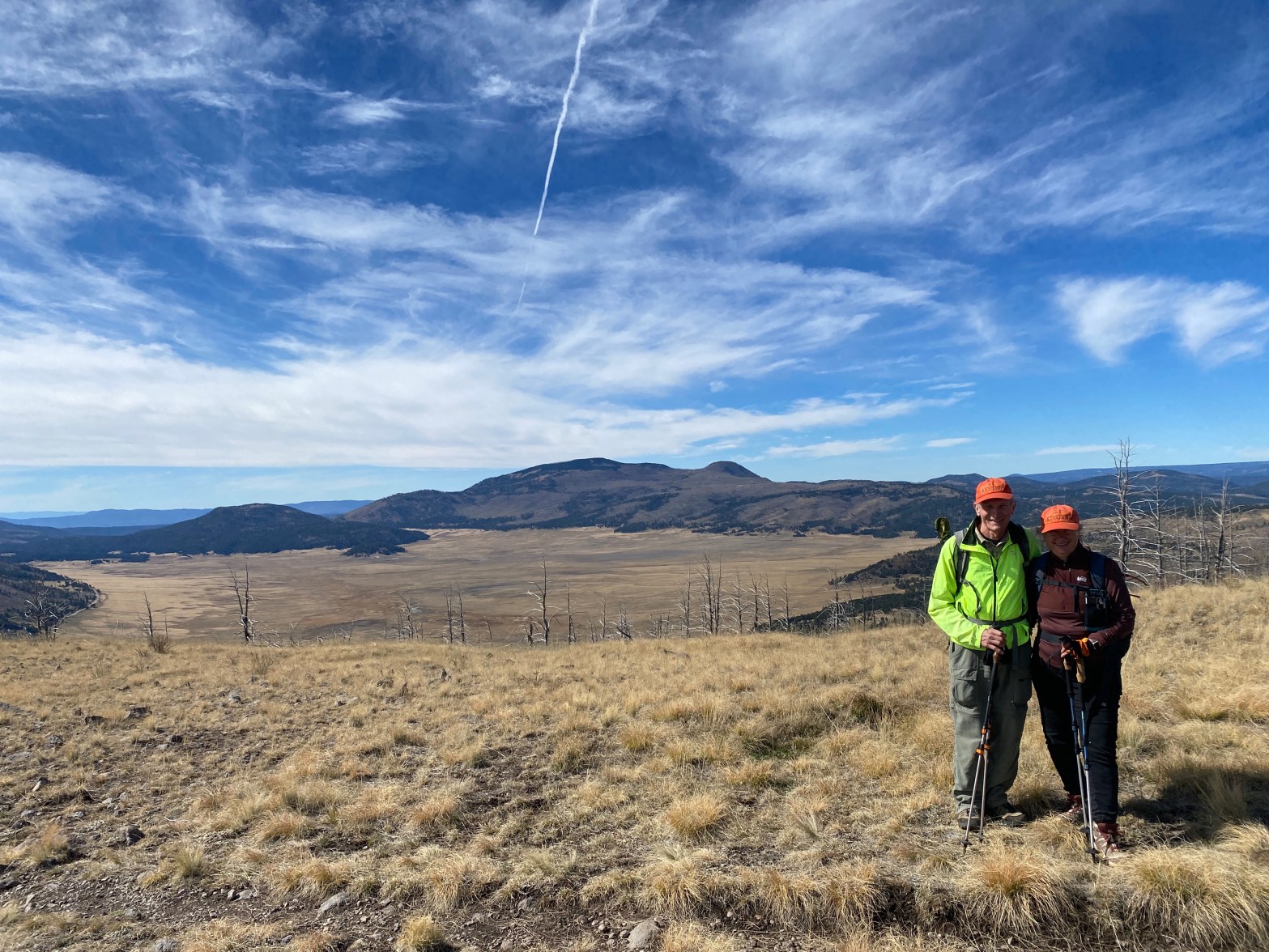
★★★★ I return to this spectacular summit with freshly minted SOTA Goats Carol KE7SRN and Tom KE6SRO.
Baby Black Mountain

★★☆☆ Like its big brother, Black Mountain to the north, this is a fine hike.
Black Mountain

★★☆☆ Moon-like cinder cone terrain marks this enjoyable Coconino Plateau summit.
Sierro del Ojito

★★☆☆ First activation of this historic summit – once a lookout for Zebulon Pike’s 1807 expedition.
Chicoma Mountain
★★★☆ I’ve looked at this beautiful, mystic mountain from afar for years. Today was the day I finally went there.
Summit 10,837′
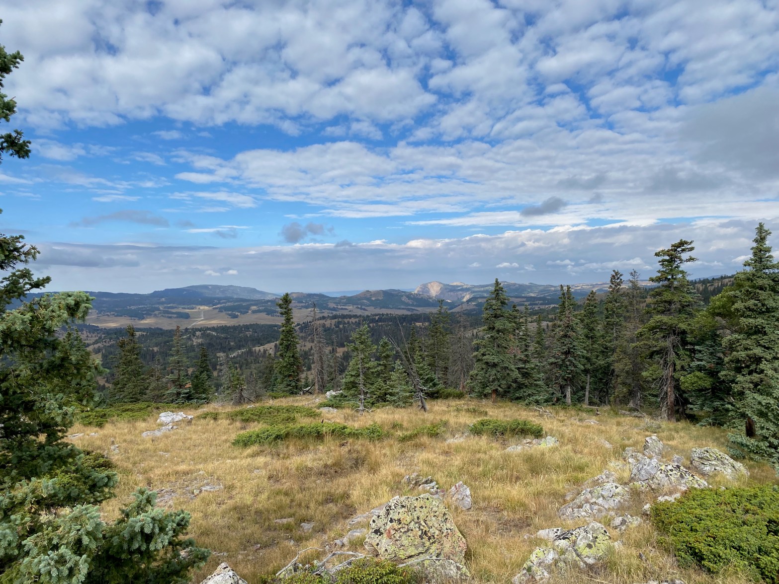
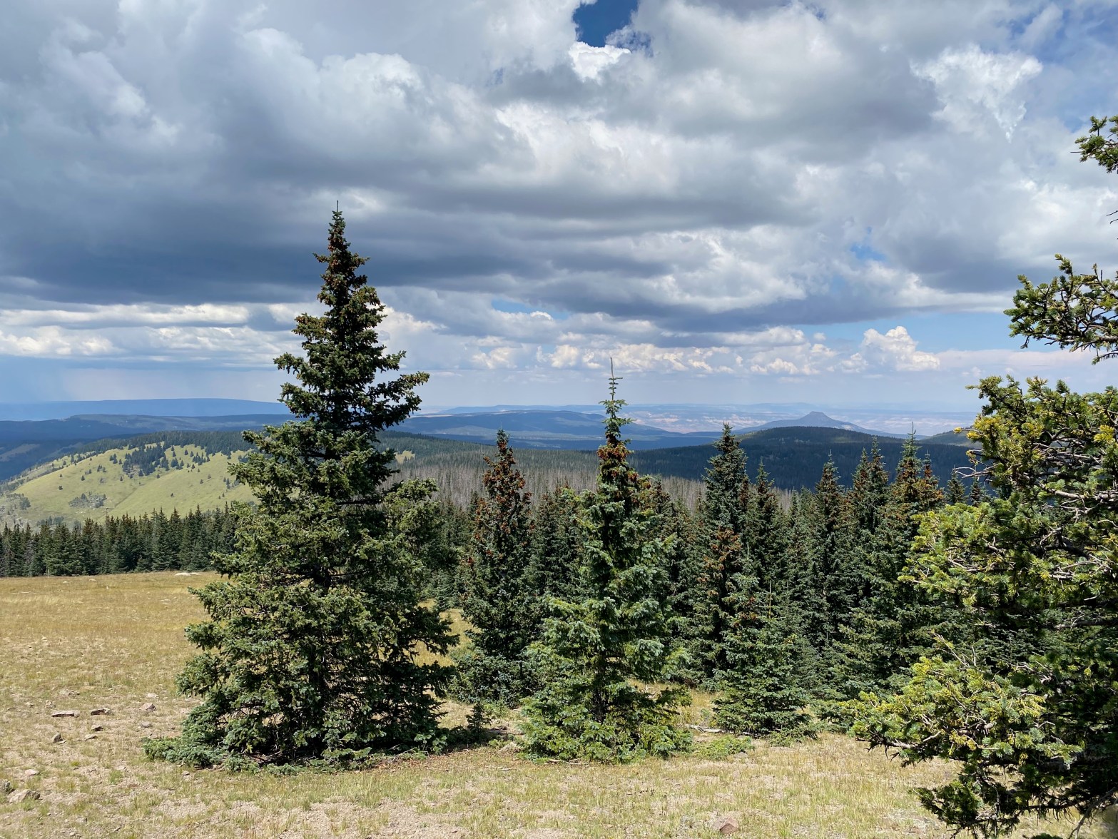
★★☆☆ A very enjoyable summit and hike across alpine meadows. A seldom traveled wilderness experience.
Mount Butler

★★☆☆ more fun than the numbers would indicate with some steep stuff and great views.
Pahroc Summit

★★★☆ Love Love Love this first time activation in the middle of nowhere!
