
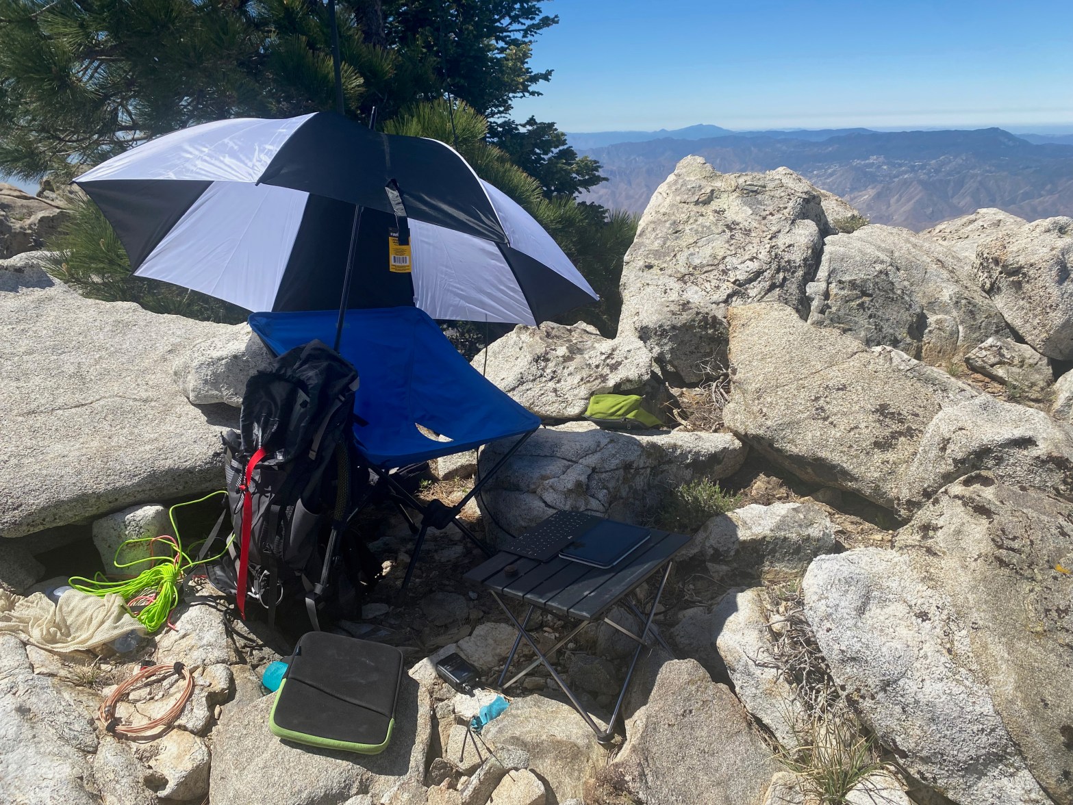
Here’s my comfy little station looking east toward Lockwood Valley and Frazier Mountain. 5 October 2024 W6/SC-012 Elevation: 6,585′ Route: Cross country Hike Distance: 3.8 miles round trip from gate Elevation Gain: 875′ Navigation: A bit tricky to start/end Steepness: Moderate Vehicle: Passenger car Road: Good dirt road Cell Coverage: Good Verizon Hike basics ThisContinue reading “San Guillermo Mountain”
Category Archives: Uncategorized
Vollmer Peak

Looking northeast to Briones Reservoir. 20 SEPTEMBER 2024 W6/NC-298 Elevation: 1,906′ Route: Trail Hike Distance: 1.5 miles round trip Elevation Gain: 375′ Navigation: Easy Steepness: Gentle Vehicle: Passenger car Road: Paved Cell Coverage: Excellent Verizon Hike basics If Flint Peak in Southern California is owned by David N6AN, then Vollmer Peak should be renamed MountContinue reading “Vollmer Peak”
Lockwood Peak
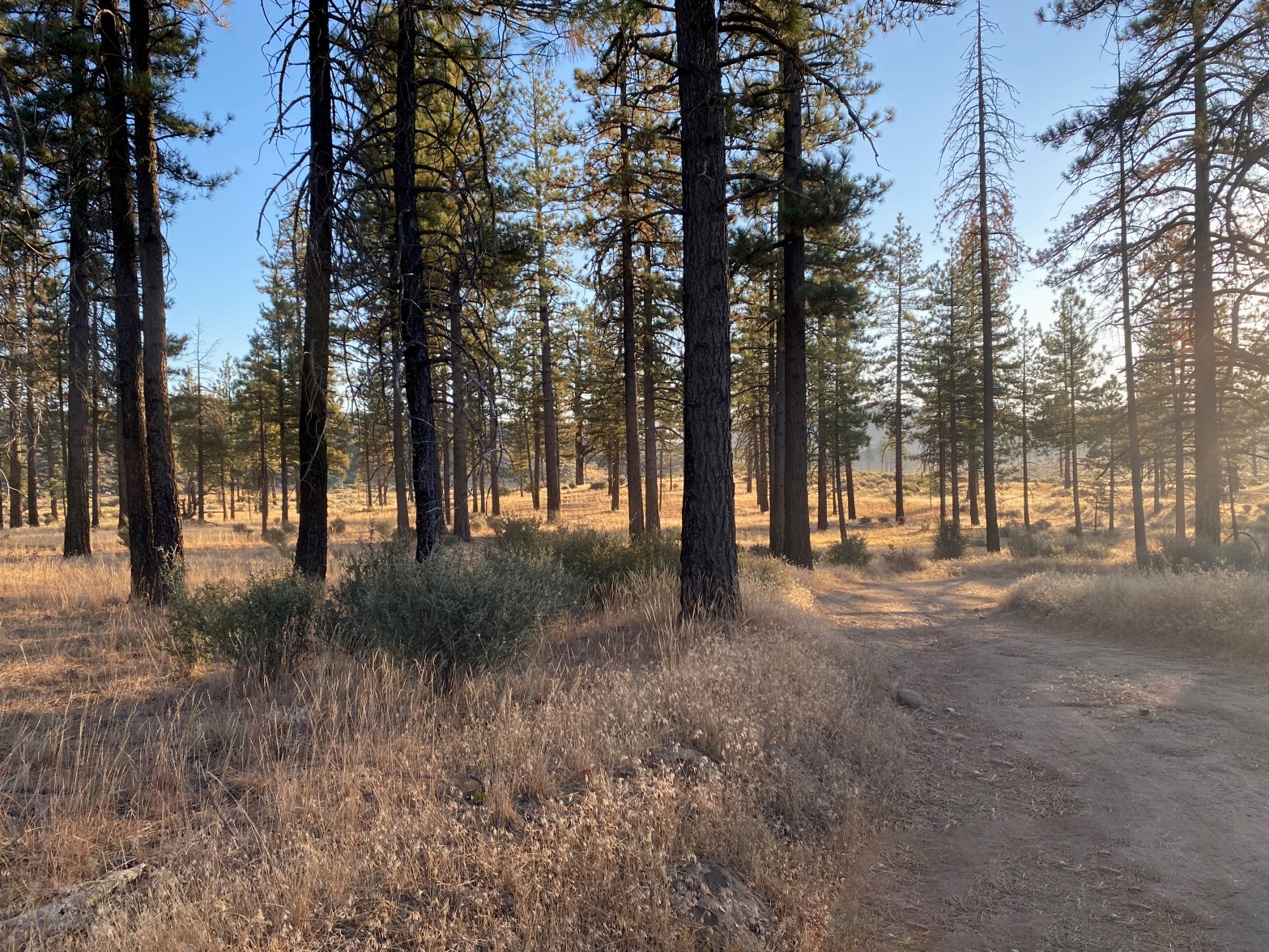
Sunrise near the trailhead. Didn’t see another soul all day 14 September 2024 W6/SC-016 Elevation: 6,261′ Route: Forest service trail and cross country Hike Distance: 5.5 miles round trip Elevation Gain: 1,200′ Navigation: Easy Steepness: Steep cross country Vehicle: High clearance suggested Road: Good dirt road Cell Coverage: Good Verizon Hike basics I last hikedContinue reading “Lockwood Peak”
Toro Peak
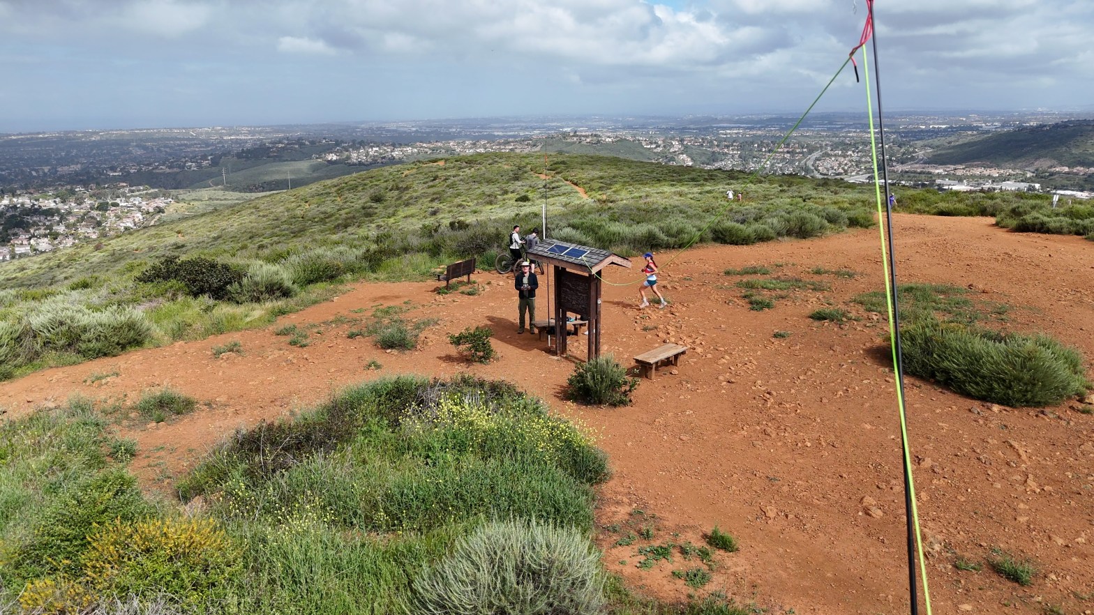
The station on the uneven ground of the summit. Looking south with Cuymaca Peak in the background. SPECIAL ACCESS NOTE: This summit is on the Santa Rosa Band of Cahuilla Indians reservation. A day-use permit is required to visit this summit. Permits are $40 per person and must be obtained in advance. A liability waiverContinue reading “Toro Peak”
Summit 1,302

In the Santa Monica Mountains we mostly have Orange Monkeyflower. Here the red variety prevailed. 27 APRIL 2024 W6/SC-454 Elevation: 1,302′ Route: Trail and fire road Hike Distance: 1.25 miles round trip Elevation Gain: 450′ Navigation: Easy Steepness: Extremely steep Vehicle: Passenger car Road: Paved Cell Coverage: Good coverage Verizon Hike basics Post to follow…
Denk Mountain
Looking down the antenna west to the summit. 27 APRIL 2024 W6/SC-386 Elevation: 1,043′ Route: Trail Hike Distance: 1.25 miles round trip Elevation Gain: 450′ Navigation: Easy Steepness: Moderate Vehicle: Passenger car Road: Paved Cell Coverage: Good Verizon Hike basics Write up to follow
Government Mountain

Looking north across Government Prairie at Government Mountain. 20 APRIL 2024 W7A/CS-012 Elevation: 8,330′ Route: Cross country Hike Distance: 1.5 miles round trip Elevation Gain: 870′ Navigation: Fairly easy Steepness: Extremely steep Vehicle: Passenger car Road: Good dirt road Cell Coverage: Verizon Hike basics After doing the higher Government Hill, I continued on to thisContinue reading “Government Mountain”
Government Hill

Not much of a view from this forested summit. 20 APRIL 2024 W7A/CS-010 Elevation: 8,451′ Route: Cross country Hike Distance: 1.5 miles round trip Elevation Gain: 800′ Navigation: Easy – just go up Steepness: Steep Vehicle: Passenger car Road: short bumpy dirt road Cell Coverage: Good Verizon Hike basics On my way back to SouthernContinue reading “Government Hill”
Sycamore Lookout

Looking Southwest from Sycamore Lookout. Peaks in the area have a reputation for having no view. This one defies the stereotype. Photograph by Cassie Fitzgerald. 11 APRIL 2024 W5O/OU-005 Elevation: 2,379′ Route: Drive-up Hike Distance: n/a Elevation Gain: n/a Navigation: n/a Steepness: n/a Vehicle: Passenger car Road: Paved Cell Coverage: Verizon Hike basics On ourContinue reading “Sycamore Lookout”
Mount Nebo – Total Solar Eclipse
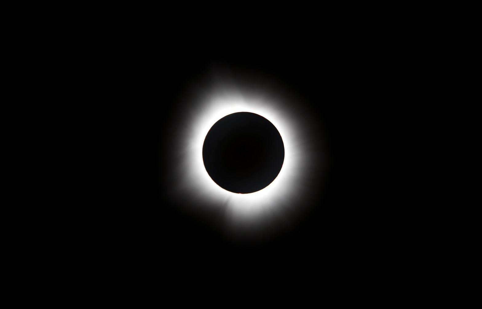
The 2024 North American Eclipse at totality. 400mm lens with a 100000 neutral density filter. Our Moon is closer in size to the Earth than any other moon & planet combo in our solar system. The relationship is so close that we are sometimes called “The Double Planet.” It is an astounding coincidence that theContinue reading “Mount Nebo – Total Solar Eclipse”
