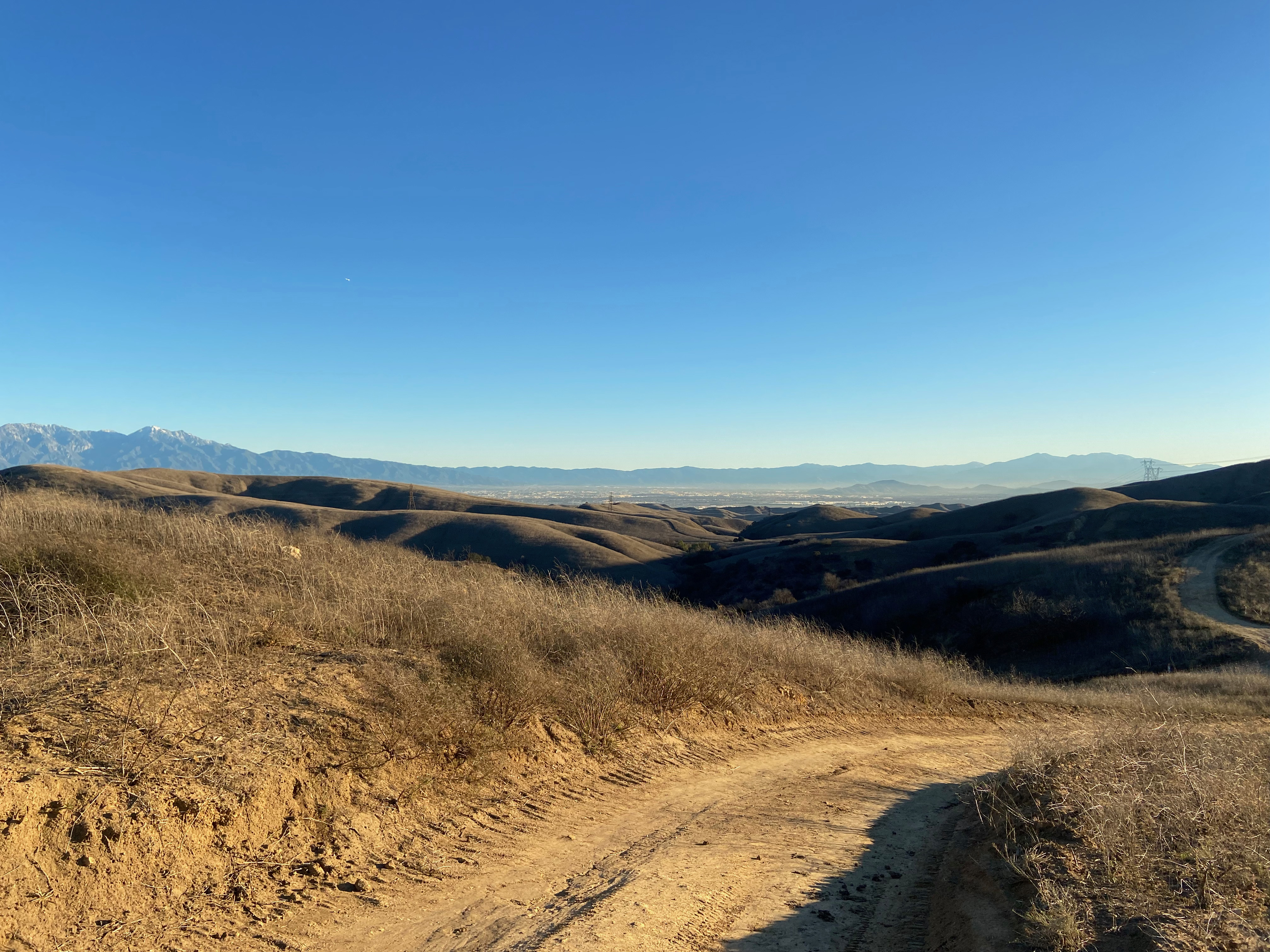
Fresh snow on the San Gabriel Mountains from the trail head.
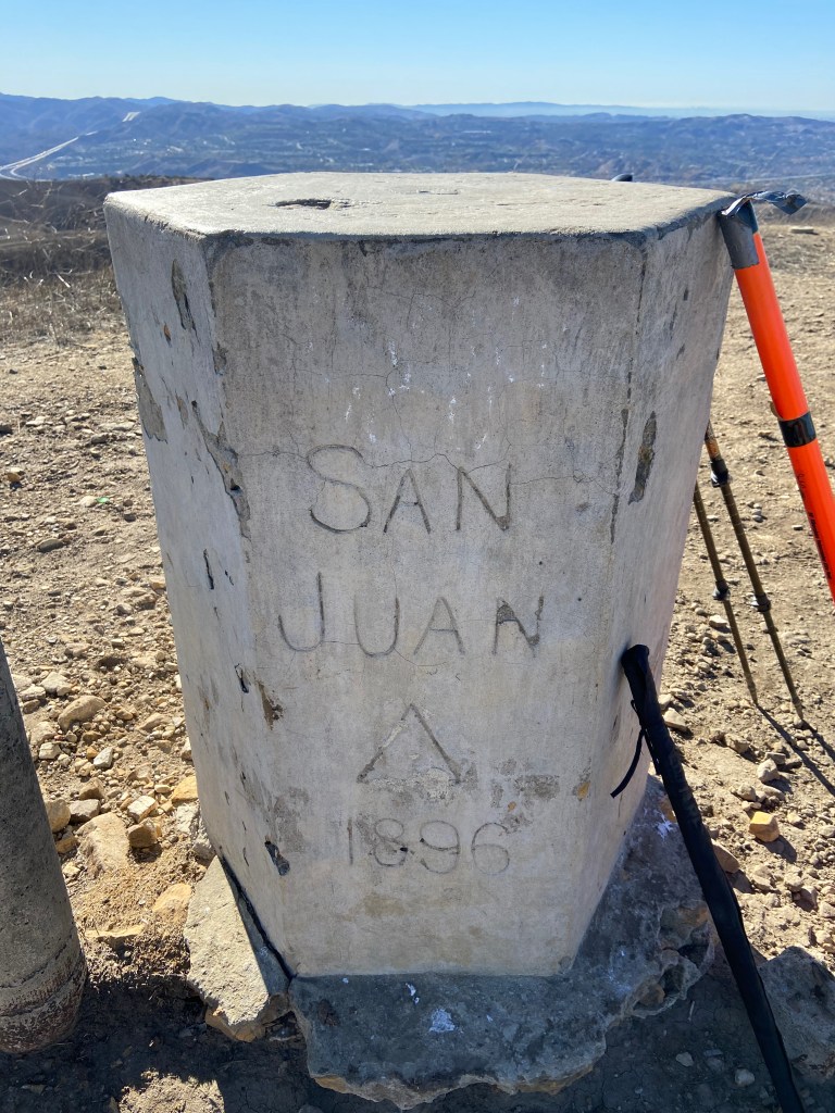
Finally a series of storms had broken the horrendous drought that has plagued Southern California in the 2020-2021 rain year. This is tremendous news for the chaparral but had put a bit of a damper on my SOTA activity recently. The day after Christmas was forecast to be if not dry, at least free of rain. I picked summit 1,428′ in the La Puente Hills just because it appeared from the satellite imagery to have a paved road to the summit. This, I thought, might mitigate the mud.
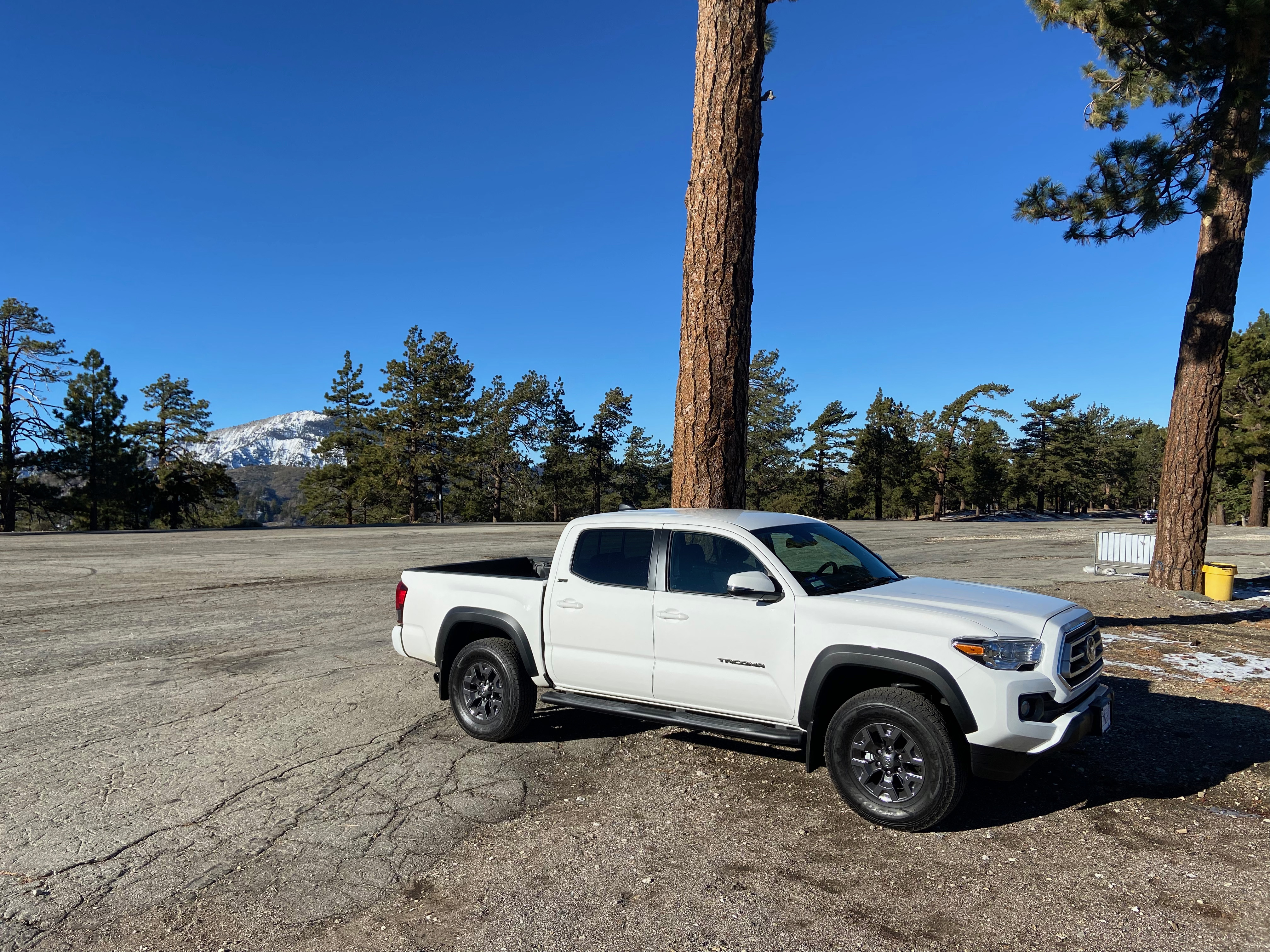
The trailhead is easy to find at the end of Vantage Pointe Drive in Rowland Heights
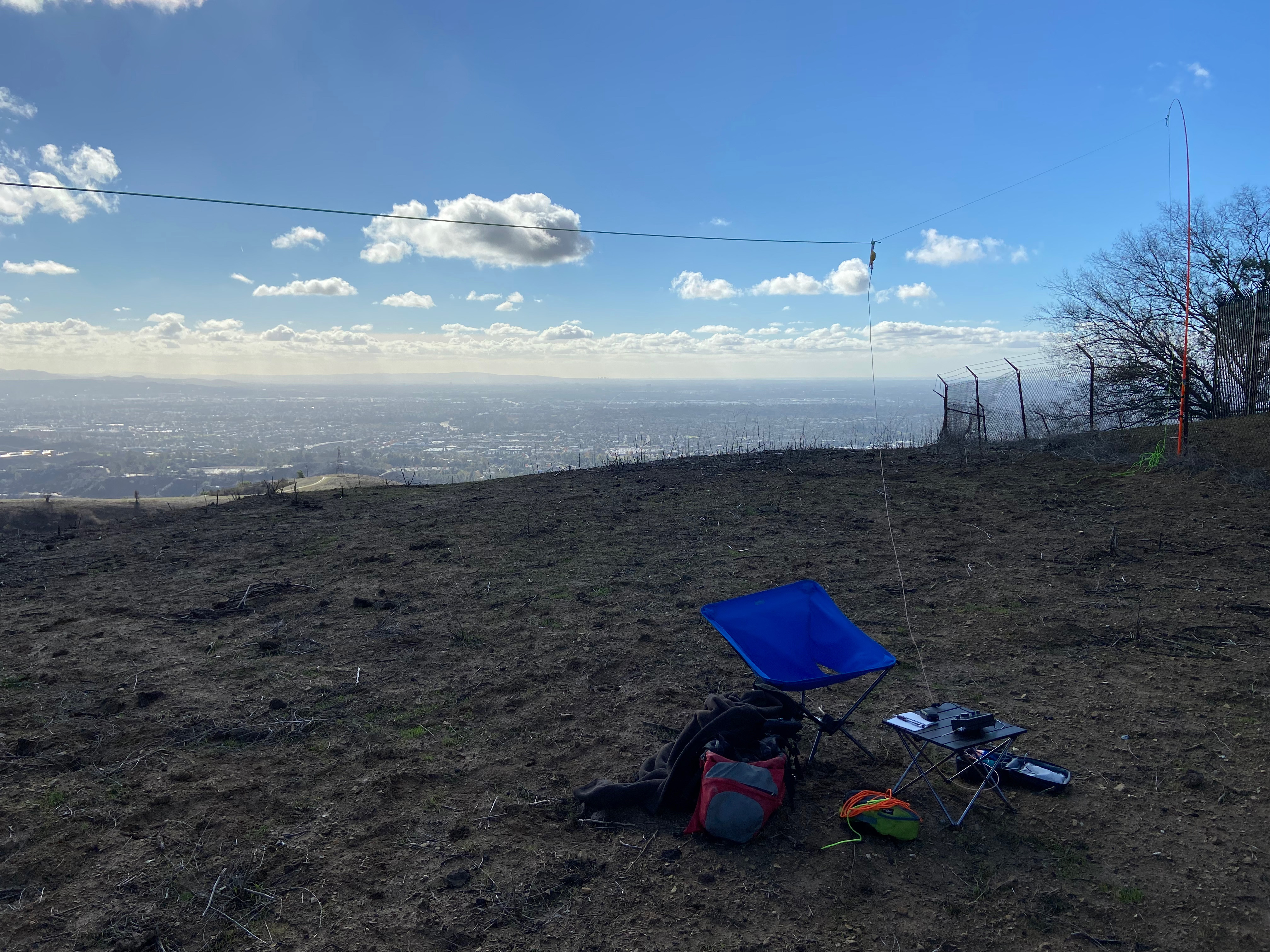
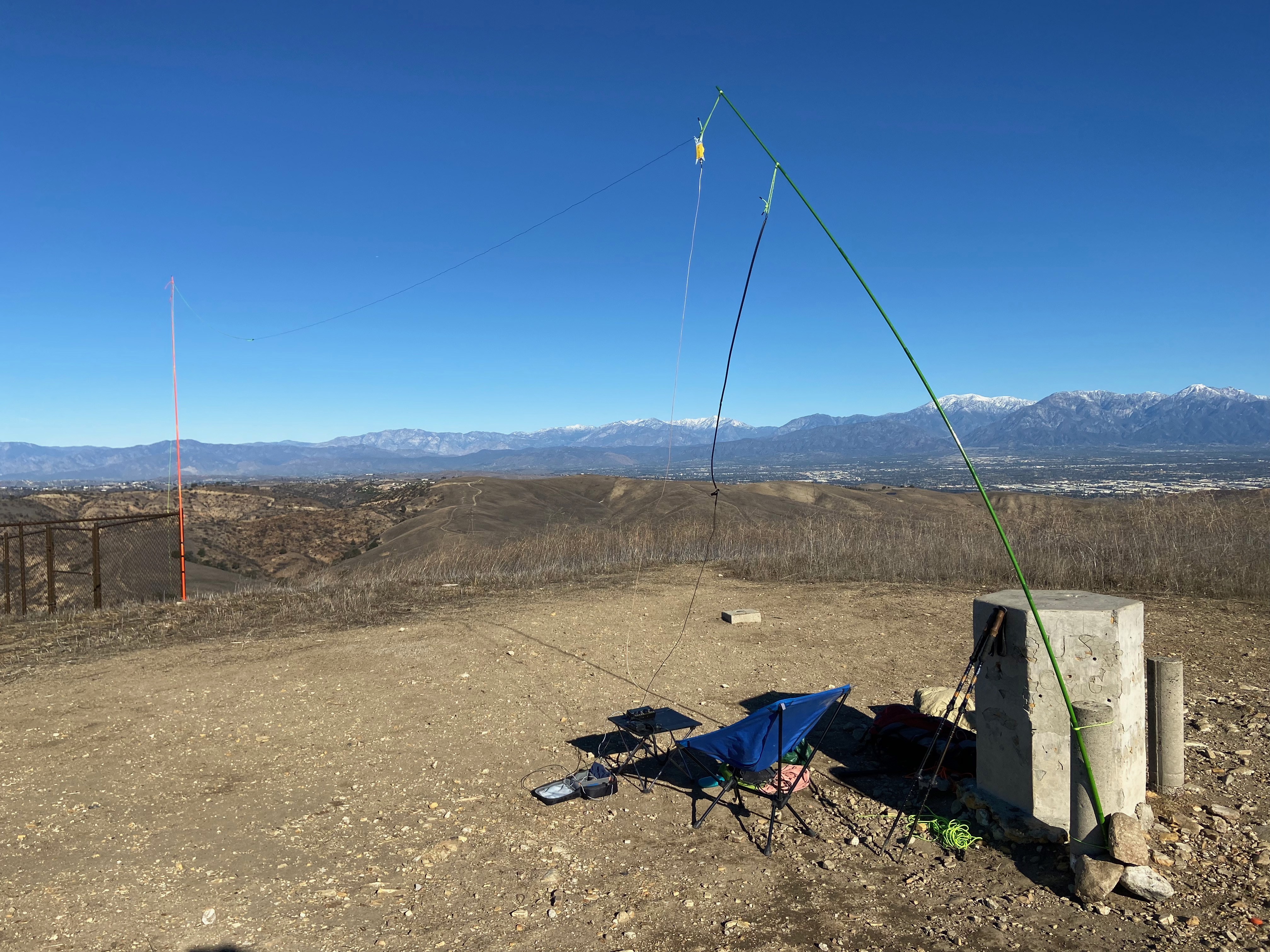
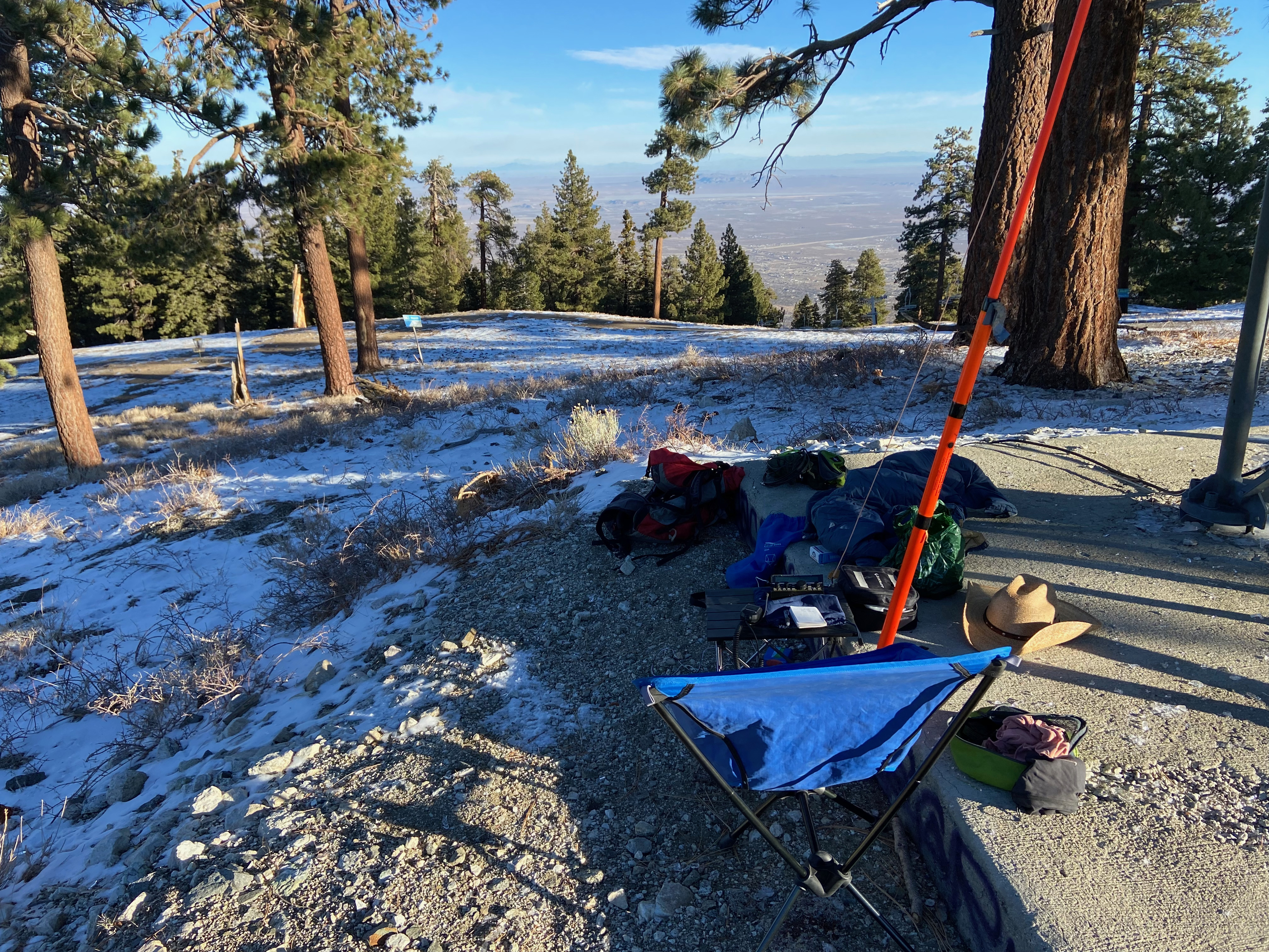
The hike is a short half mile up the paved road to the substantial radio facility on the summit. There are PRIVATE PROPERTY NO TRESPASSING signs but everybody in the neighborhood seems to walk their dogs up there. While the paved road did reach the activation area, the site I chose to set up was just to the east of the actual summit. There was one fence to climb over and cattle are run on the other side. I saw some longhorns and heard them lowing while I set up. The field I set up in was thick with a squishy adobe mud from the rains and care was needed to avoid the numerous cow pies.
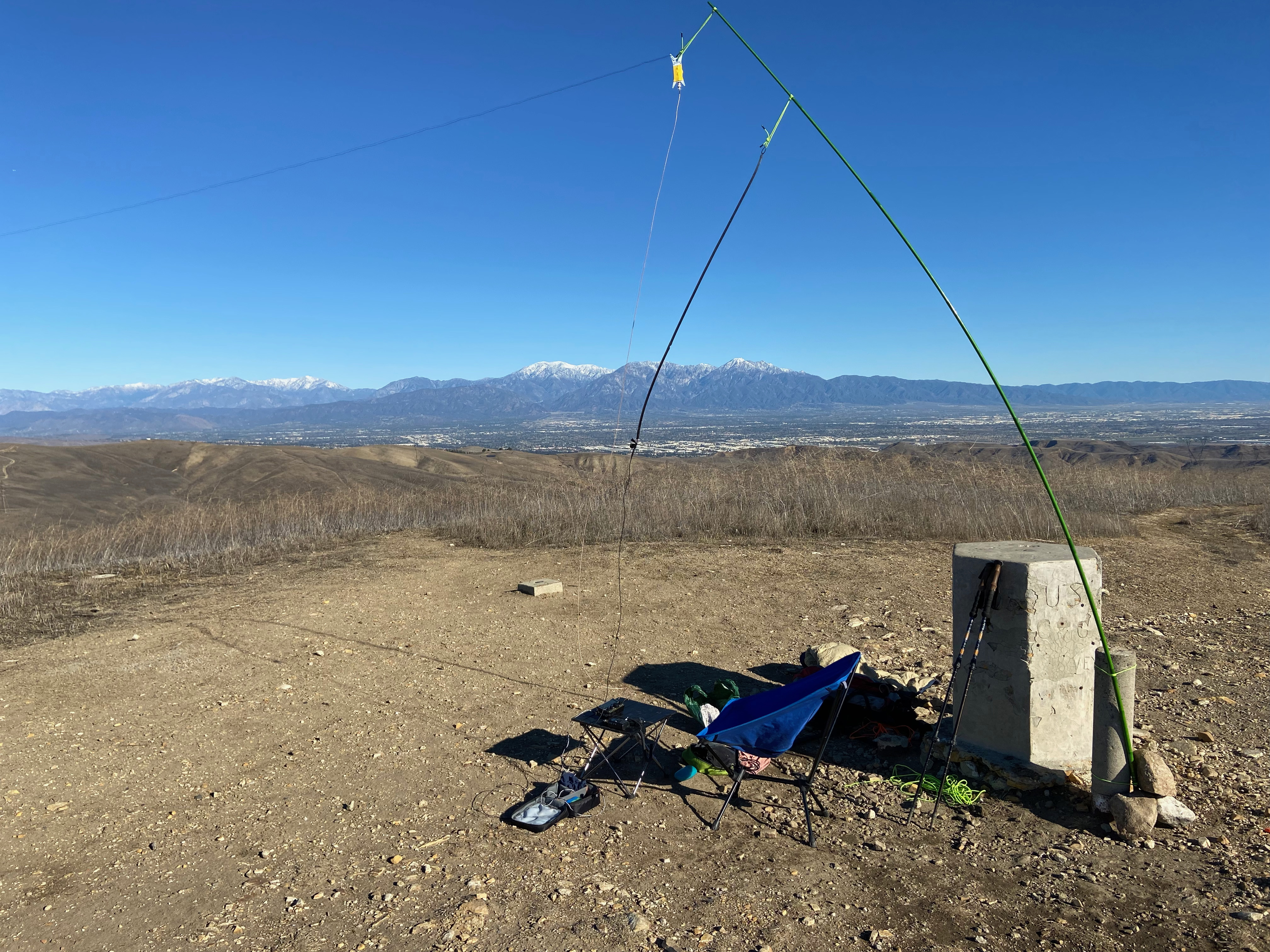
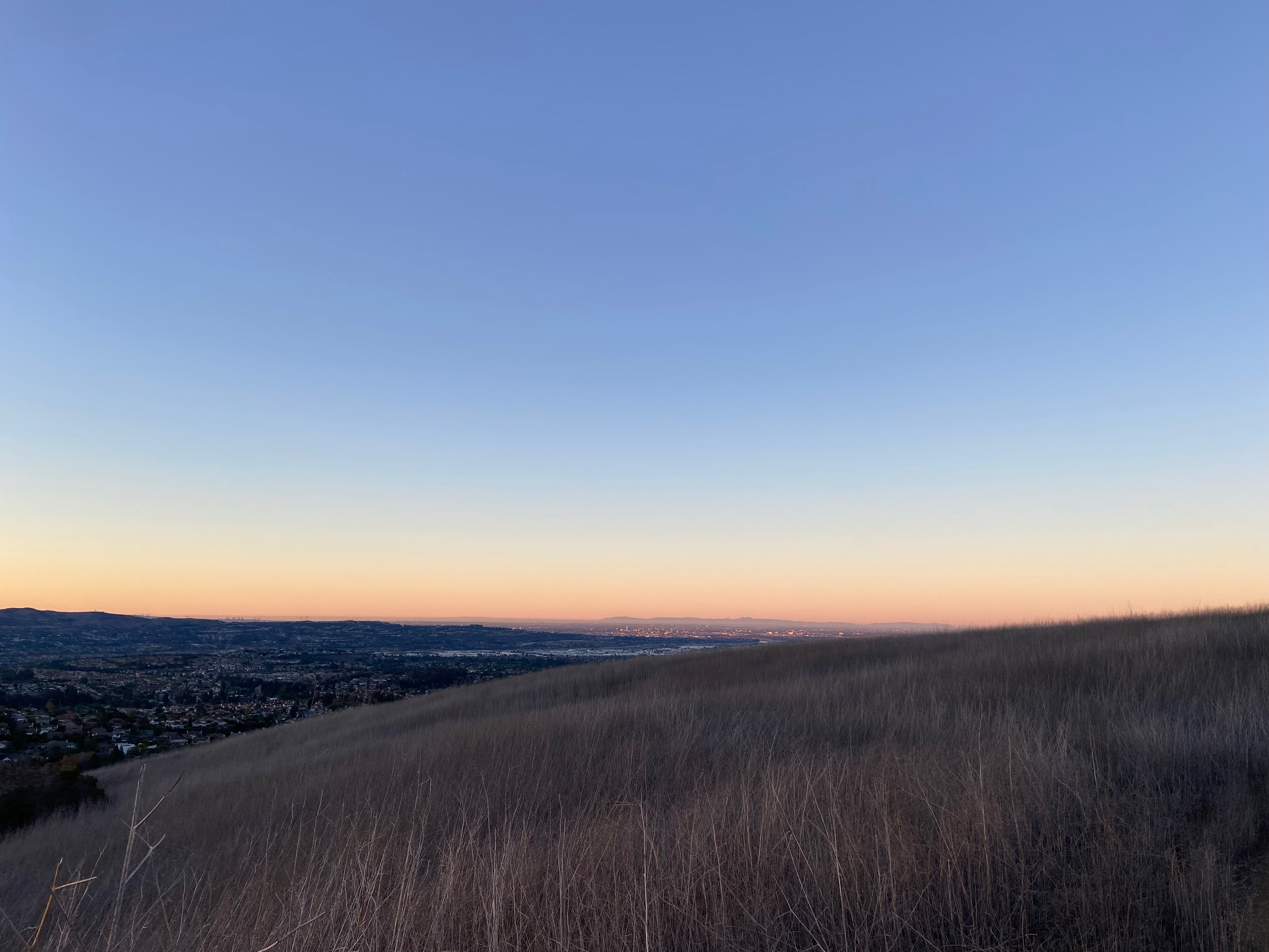
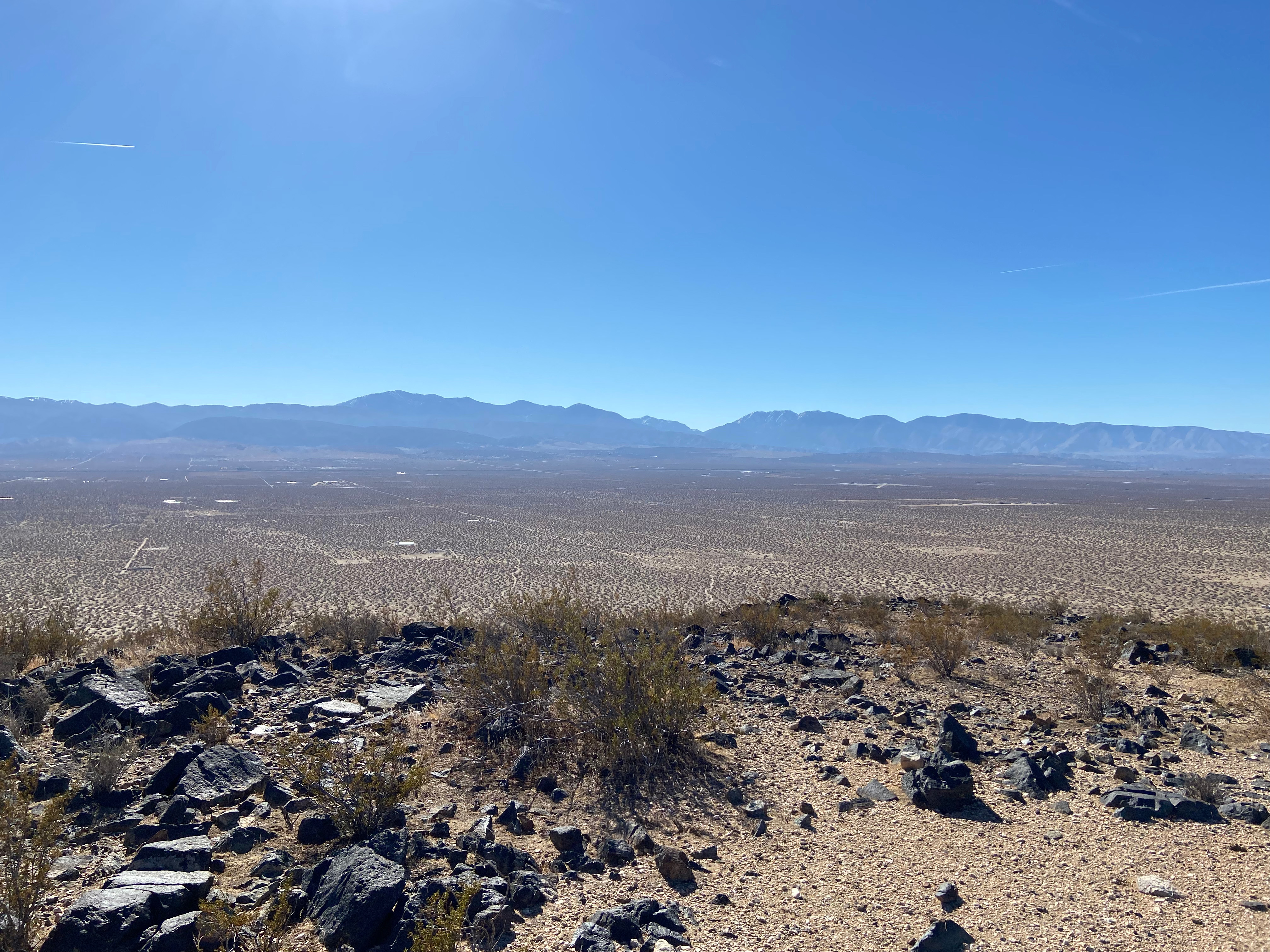
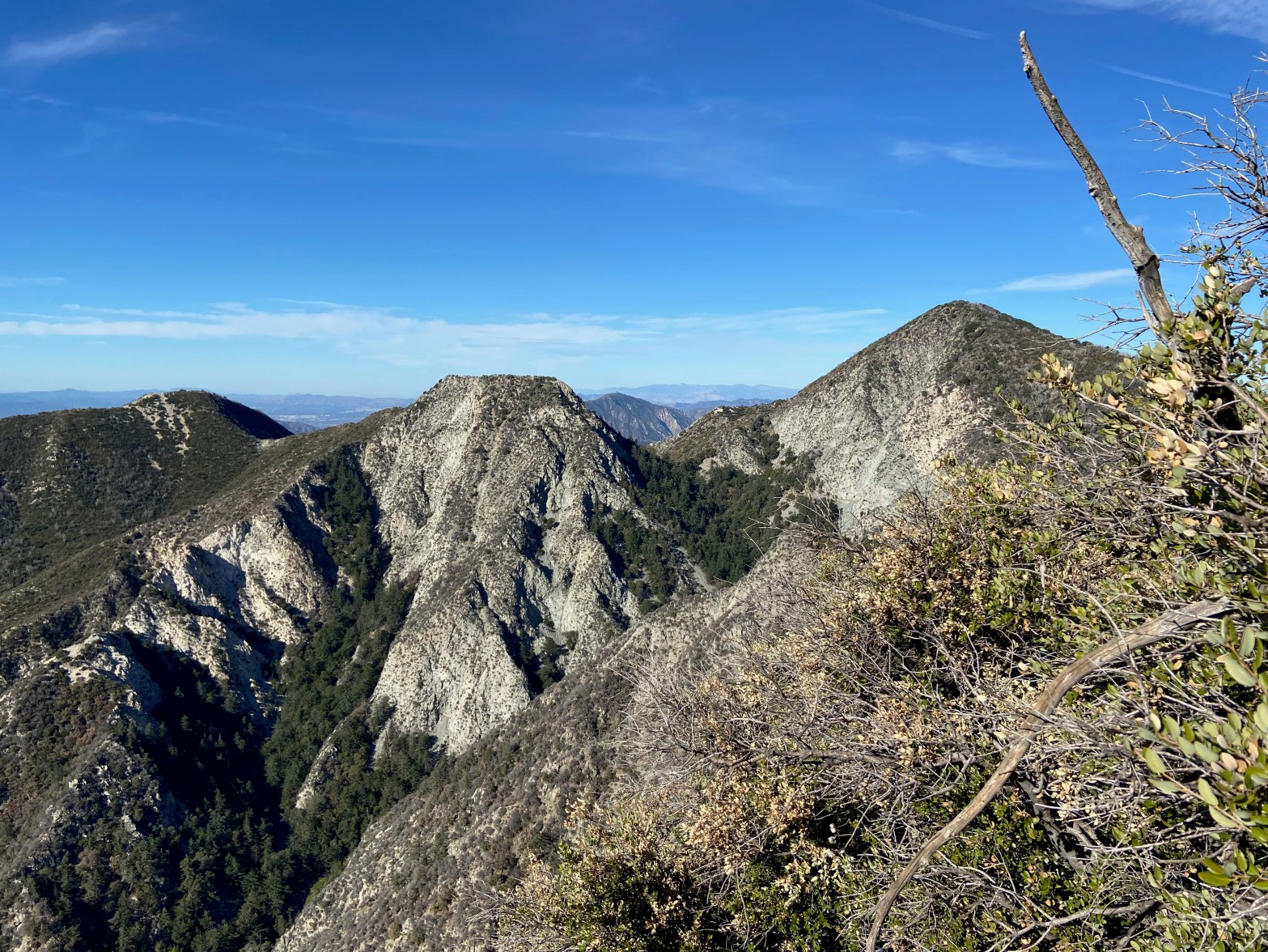
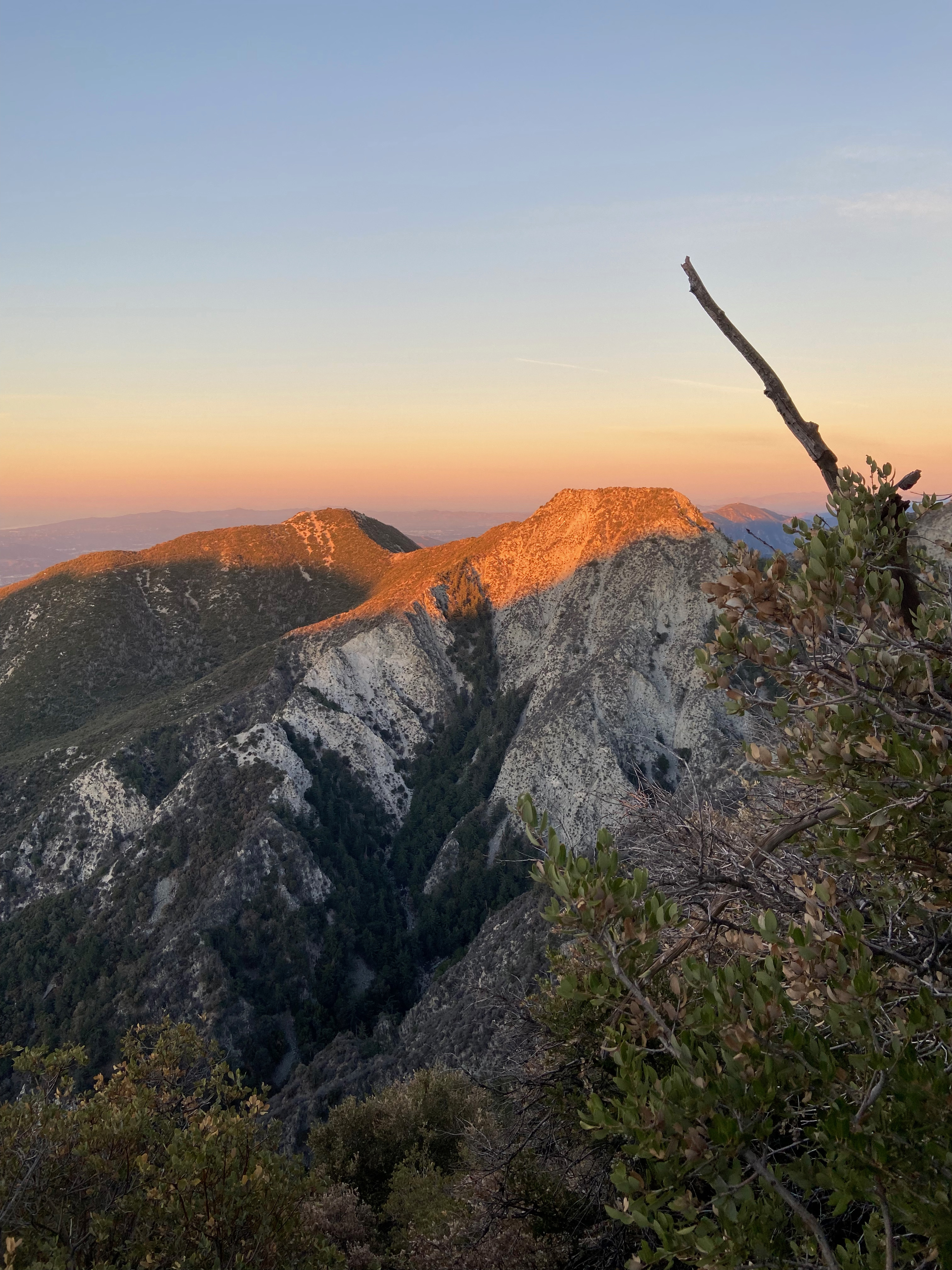
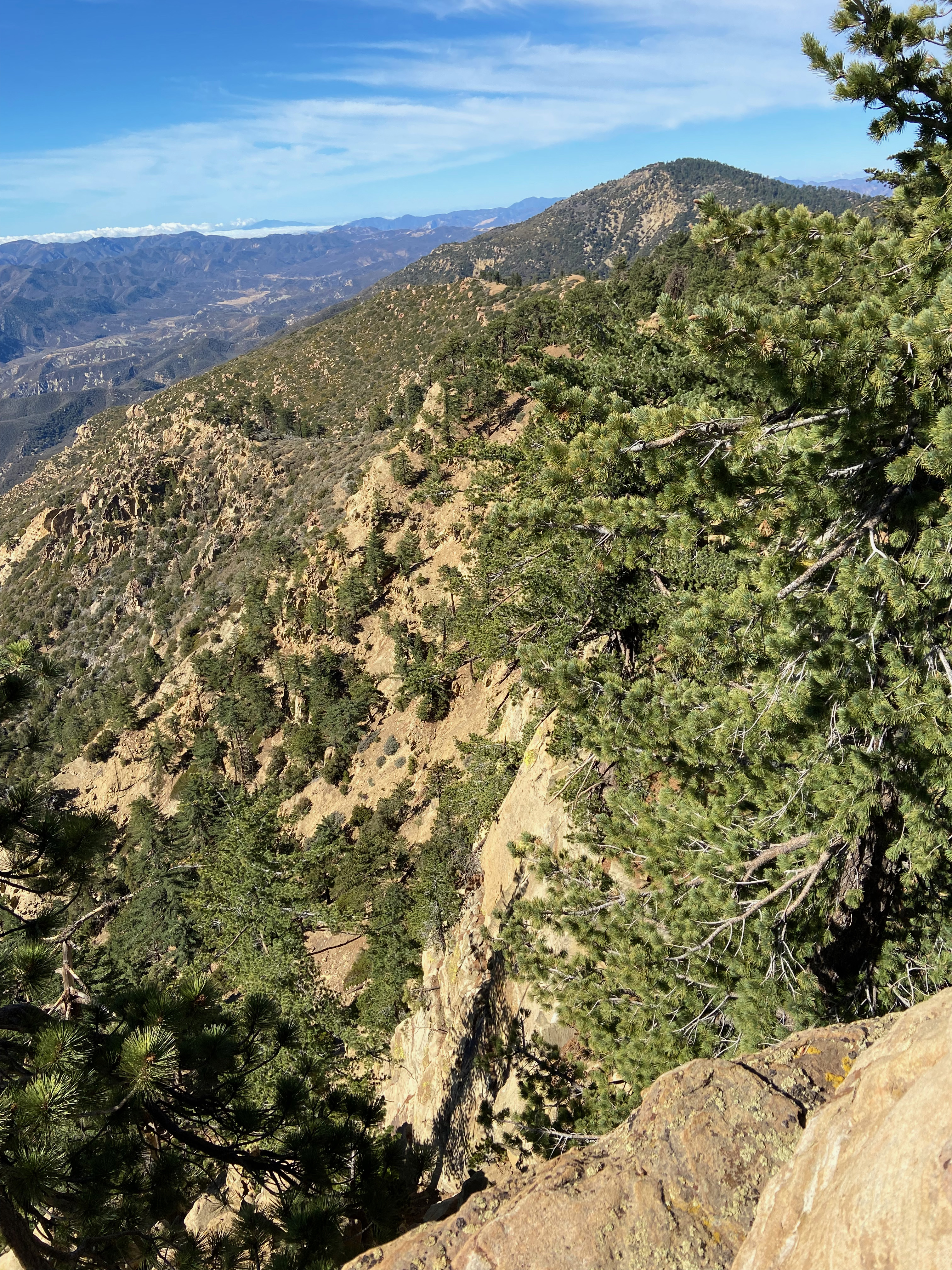
The San Gabriel Mountains were wreathed in cumulus clouds, but the very snowy summits of Mount San Antonio and others poked through the top. The cloud layer built during the activation as the next storm impulse made its way down from the Gulf of Alaska.
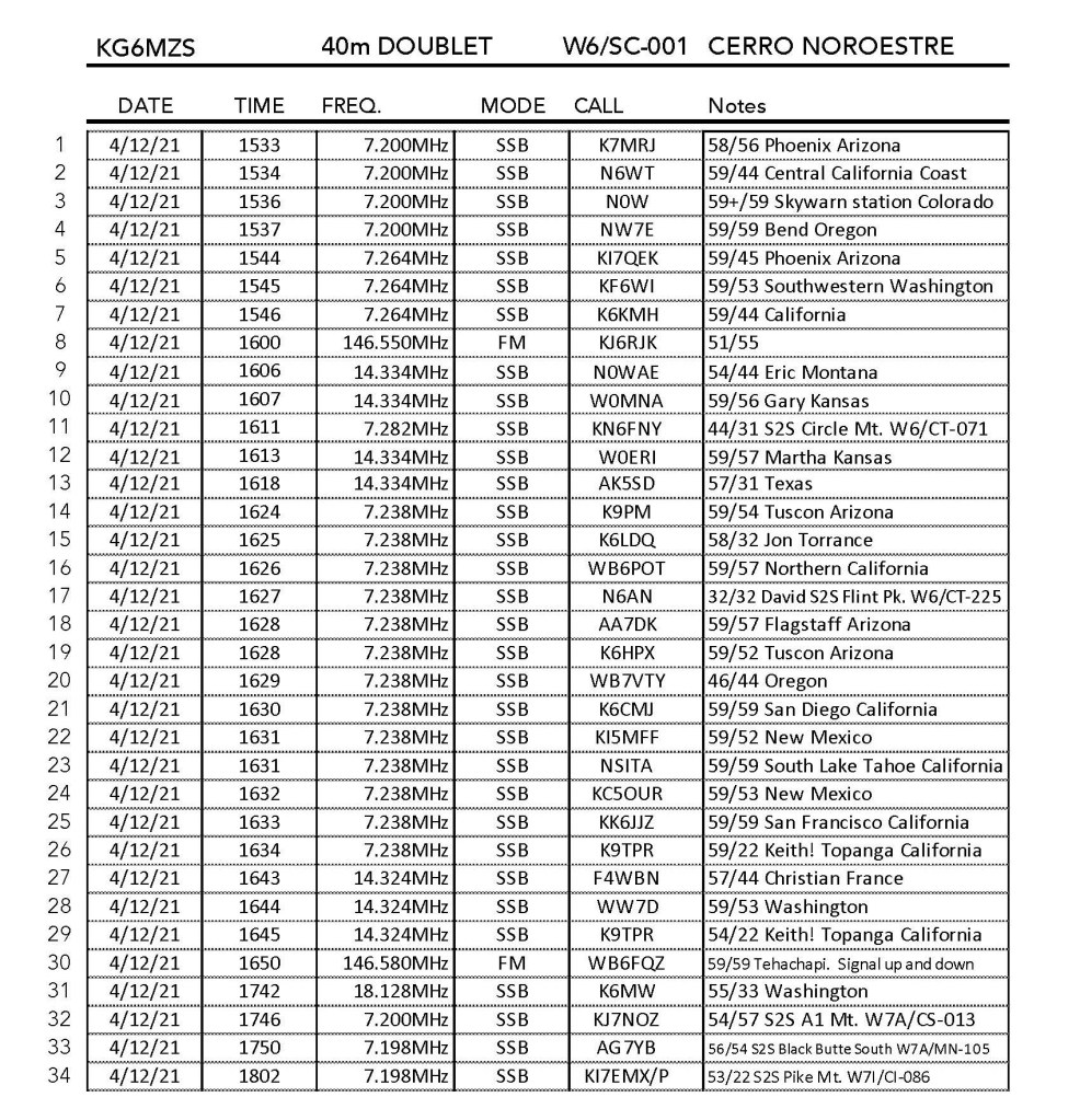
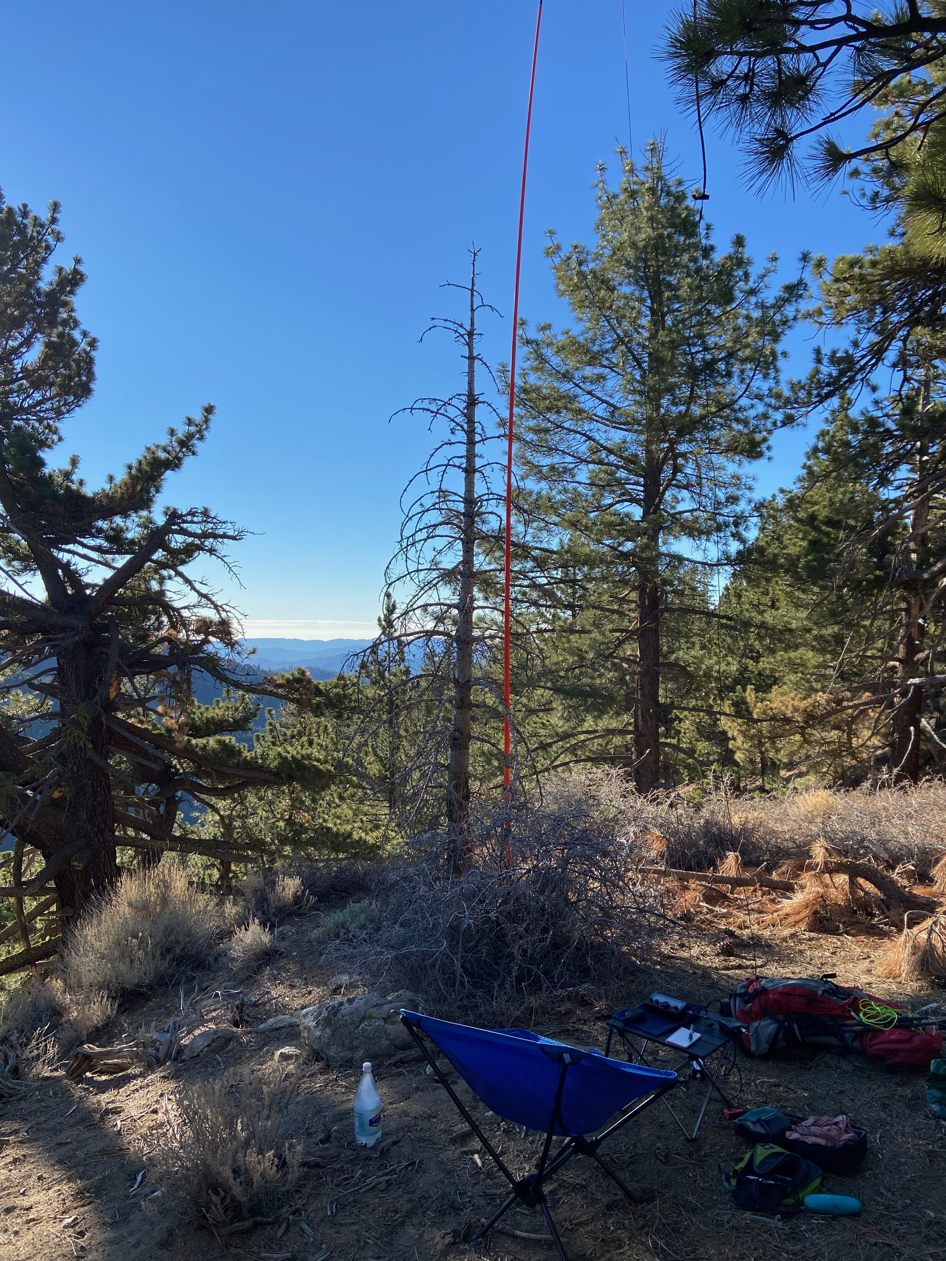
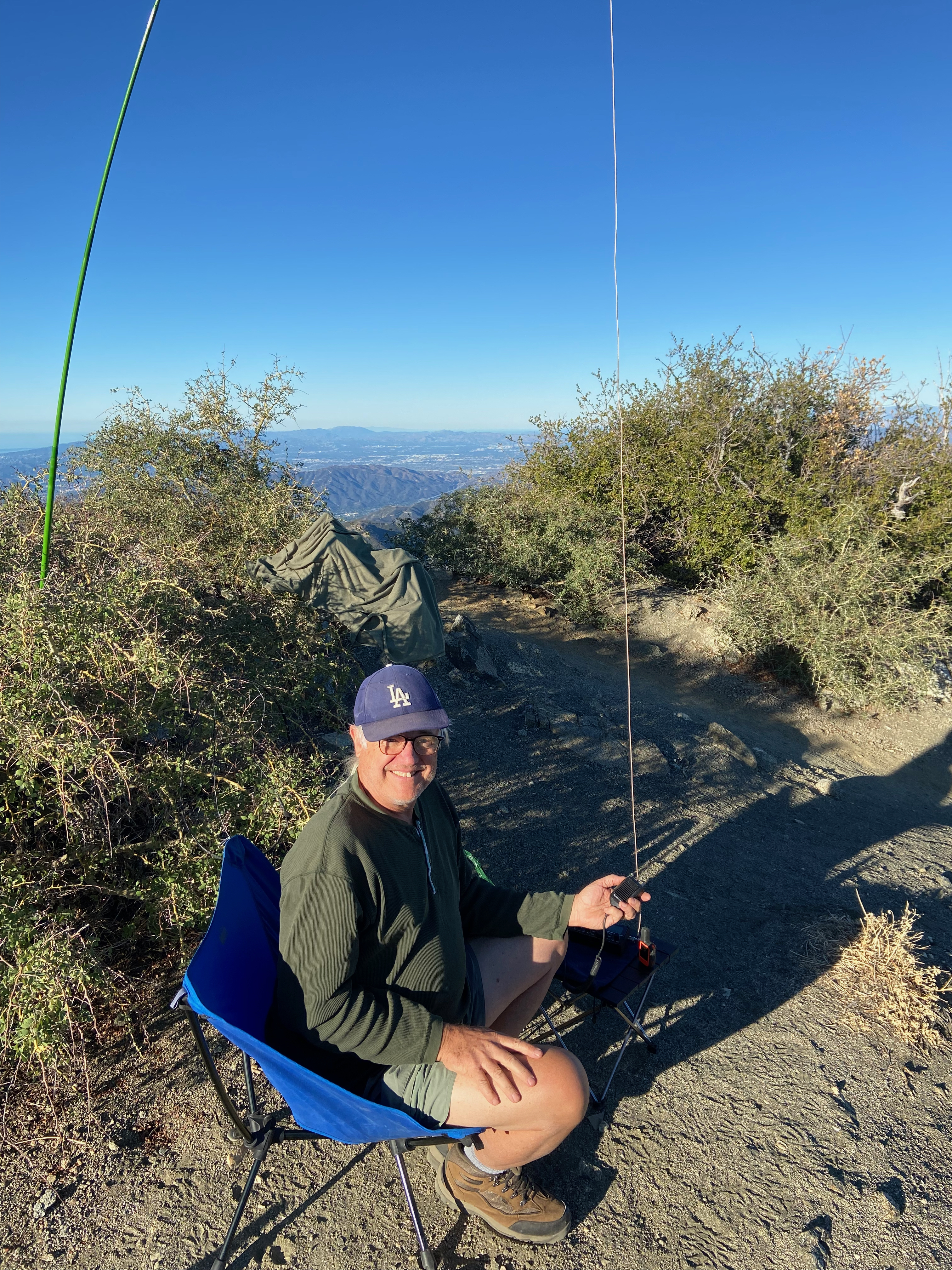
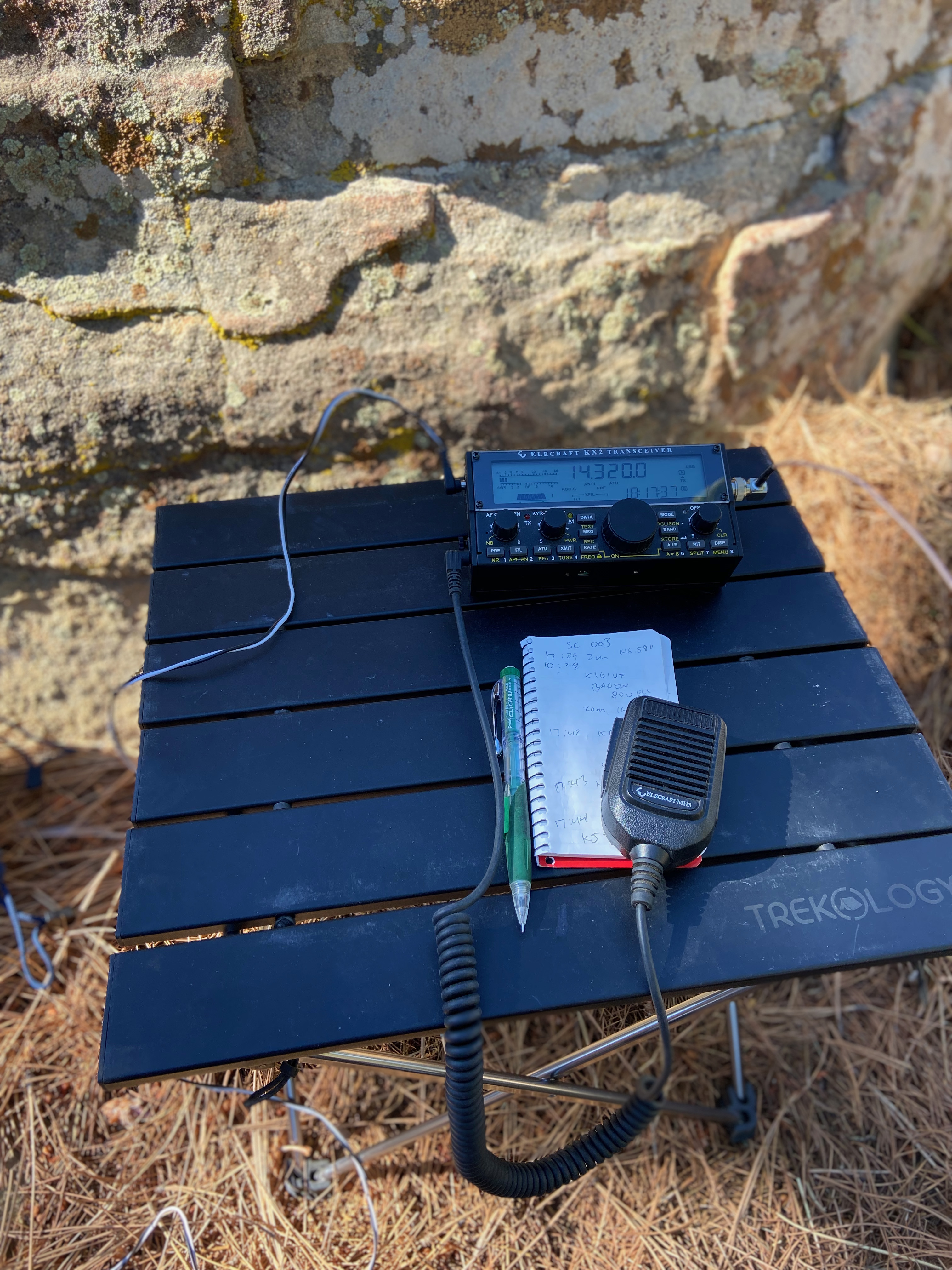
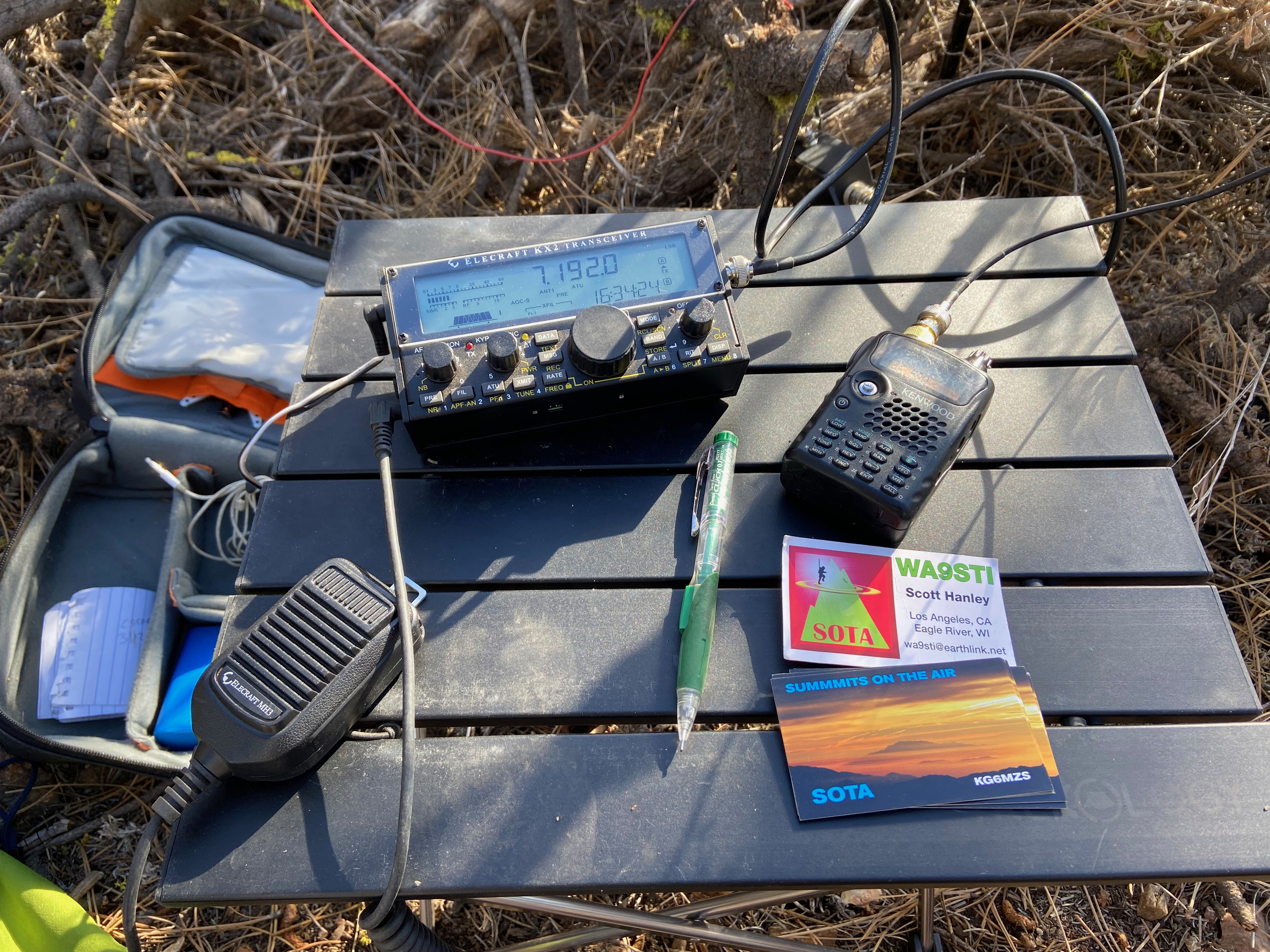
Radio conditions were pretty poor. With the preamp on the KX2 my noise level was about S9 on 20m, so I had to turn it off after a while. I forgot to repack my Kenwood TH-F6A on this trip, so no UHF/VHF. Sorry local chasers!