
★★☆☆ Like its big brother, Black Mountain to the north, this is a fine hike.
Tag Archives: Coconino Plateau
Black Mountain

★★☆☆ Moon-like cinder cone terrain marks this enjoyable Coconino Plateau summit.
Wing Mountain
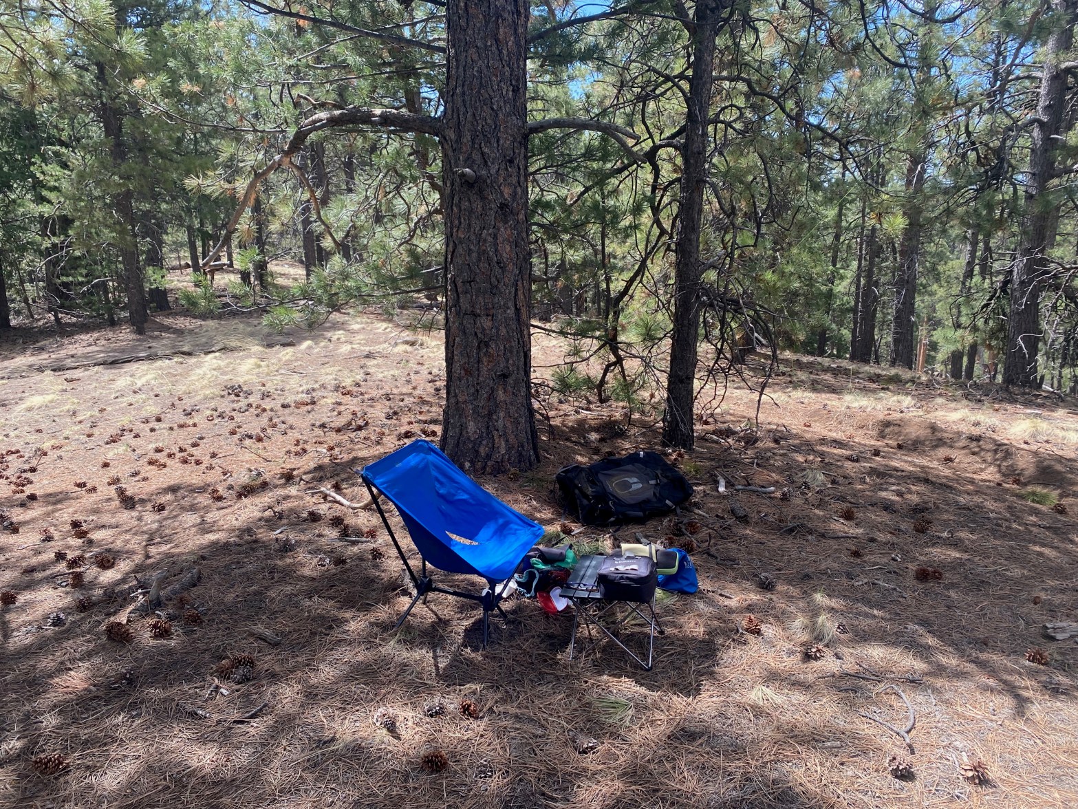
The station on this forested summit 3 MAY 2025 W7A/CS-008 Elevation: 8,573′ Route: Cross country Hike Distance: 1.8 miles round trip Elevation Gain: 900′ Navigation: Easy Steepness: Extremely steep Vehicle: High clearance vehicle suggested Road: Dirt road with ruts Cell Coverage: Good Verizon Hike basics This summit area is popular with dirt bikers and firearmContinue reading “Wing Mountain”
South Turkey Hills

Looking west from the summit to Elden Mountain and Mount Humphreys. 2 MAY 2025 W7A/CS-045 Elevation: 7,425′ Route: Short 4WD tracks Hike Distance: .9 miles round trip Elevation Gain: 175′ Navigation: Easy Steepness: Steep Vehicle: 4WD suggested Road: Deep cinder dirt Cell Coverage: Good Verizon Hike basics I left the LA Basin at 5am andContinue reading “South Turkey Hills”
Government Mountain

Looking north across Government Prairie at Government Mountain. 20 APRIL 2024 W7A/CS-012 Elevation: 8,330′ Route: Cross country Hike Distance: 1.5 miles round trip Elevation Gain: 870′ Navigation: Fairly easy Steepness: Extremely steep Vehicle: Passenger car Road: Good dirt road Cell Coverage: Verizon Hike basics After doing the higher Government Hill, I continued on to thisContinue reading “Government Mountain”
Government Hill

Not much of a view from this forested summit. 20 APRIL 2024 W7A/CS-010 Elevation: 8,451′ Route: Cross country Hike Distance: 1.5 miles round trip Elevation Gain: 800′ Navigation: Easy – just go up Steepness: Steep Vehicle: Passenger car Road: short bumpy dirt road Cell Coverage: Good Verizon Hike basics On my way back to SouthernContinue reading “Government Hill”
Spitz Hill

Looking northeast to Humphreys Mountain – the highest point in Arizona at 12,635′ – and Kendrick Peak 10,420. 22 MARCH 2024 W7A/CS-032 Route: Cross-country Hike Distance: 1 mile round trip Elevation Gain: 635′ Navigation: Easy Steepness: Moderate Vehicle: Passenger car Road: Good forest service dirt Cell Coverage: Good (Verizon) Hike basics On a Friday morningContinue reading “Spitz Hill”
Summit Mountain

Summit Mountain from the north across Barney Flat on the drive up. 10 JUNE 2023 W7A/CS-026 Elevation: 7,785′ Route: Very short cross country Hike Distance: .2 miles round trip Elevation Gain: 50′ Navigation: Easy Steepness: Gentle Vehicle: Passenger car Road: Dirt road Cell Coverage: Excellent (Verizon), excellent APRS Hike basics Driving back solo from CassieContinue reading “Summit Mountain”
