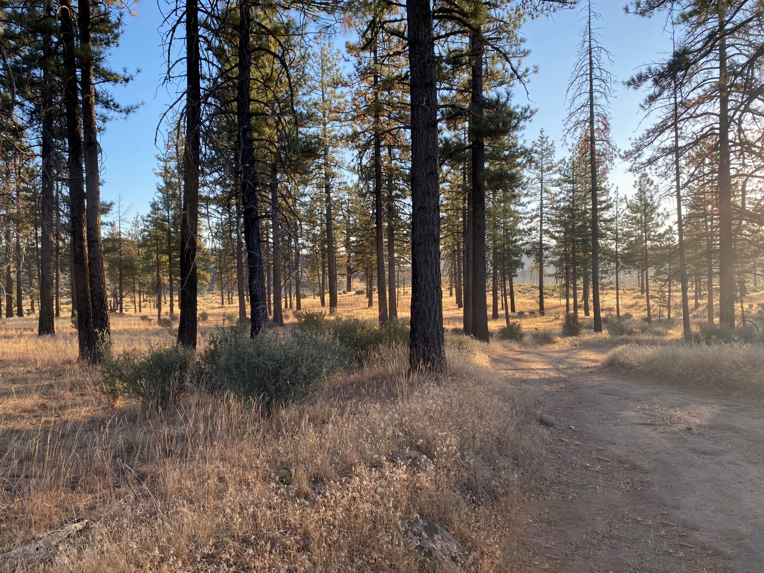
Sunrise near the trailhead. Didn’t see another soul all day 14 September 2024 W6/SC-016 Elevation: 6,261′ Route: Forest service trail and cross country Hike Distance: 5.5 miles round trip Elevation Gain: 1,200′ Navigation: Easy Steepness: Steep cross country Vehicle: High clearance suggested Road: Good dirt road Cell Coverage: Good Verizon Hike basics I last hikedContinue reading “Lockwood Peak”
Tag Archives: Nature
Toro Peak
The station on the uneven ground of the summit. Looking south with Cuymaca Peak in the background. SPECIAL ACCESS NOTE: This summit is on the Santa Rosa Band of Cahuilla Indians reservation. A day-use permit is required to visit this summit. Permits are $40 per person and must be obtained in advance. A liability waiverContinue reading “Toro Peak”
Summit 1,302

In the Santa Monica Mountains we mostly have Orange Monkeyflower. Here the red variety prevailed. 27 APRIL 2024 W6/SC-454 Elevation: 1,302′ Route: Trail and fire road Hike Distance: 1.25 miles round trip Elevation Gain: 450′ Navigation: Easy Steepness: Extremely steep Vehicle: Passenger car Road: Paved Cell Coverage: Good coverage Verizon Hike basics Post to follow…
Government Mountain

Looking north across Government Prairie at Government Mountain. 20 APRIL 2024 W7A/CS-012 Elevation: 8,330′ Route: Cross country Hike Distance: 1.5 miles round trip Elevation Gain: 870′ Navigation: Fairly easy Steepness: Extremely steep Vehicle: Passenger car Road: Good dirt road Cell Coverage: Verizon Hike basics After doing the higher Government Hill, I continued on to thisContinue reading “Government Mountain”
Government Hill

Not much of a view from this forested summit. 20 APRIL 2024 W7A/CS-010 Elevation: 8,451′ Route: Cross country Hike Distance: 1.5 miles round trip Elevation Gain: 800′ Navigation: Easy – just go up Steepness: Steep Vehicle: Passenger car Road: short bumpy dirt road Cell Coverage: Good Verizon Hike basics On my way back to SouthernContinue reading “Government Hill”
Sycamore Lookout

Looking Southwest from Sycamore Lookout. Peaks in the area have a reputation for having no view. This one defies the stereotype. Photograph by Cassie Fitzgerald. 11 APRIL 2024 W5O/OU-005 Elevation: 2,379′ Route: Drive-up Hike Distance: n/a Elevation Gain: n/a Navigation: n/a Steepness: n/a Vehicle: Passenger car Road: Paved Cell Coverage: Verizon Hike basics On ourContinue reading “Sycamore Lookout”
Mount Nebo – Total Solar Eclipse

The 2024 North American Eclipse at totality. 400mm lens with a 100000 neutral density filter. Our Moon is closer in size to the Earth than any other moon & planet combo in our solar system. The relationship is so close that we are sometimes called “The Double Planet.” It is an astounding coincidence that theContinue reading “Mount Nebo – Total Solar Eclipse”
South Guadalupe Mountain
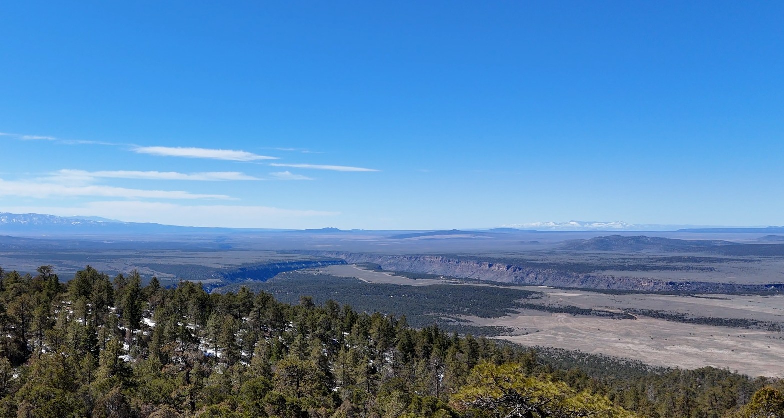
Looking south across the Taos Plateau and the Rio Grande Gorge. 30 MARCH 2024 W5N/SS-037 Elevation: 8,720′ Route: Trail and cross country Hike Distance: 3.5 miles round trip Elevation Gain: 780′ Navigation: Easy Steepness: A little steep Vehicle: Passenger car Road: Good dirt road Cell Coverage: Verizon was in and out Hike basics It hadContinue reading “South Guadalupe Mountain”
Spitz Hill

Looking northeast to Humphreys Mountain – the highest point in Arizona at 12,635′ – and Kendrick Peak 10,420. 22 MARCH 2024 W7A/CS-032 Route: Cross-country Hike Distance: 1 mile round trip Elevation Gain: 635′ Navigation: Easy Steepness: Moderate Vehicle: Passenger car Road: Good forest service dirt Cell Coverage: Good (Verizon) Hike basics On a Friday morningContinue reading “Spitz Hill”
Pedley Hills
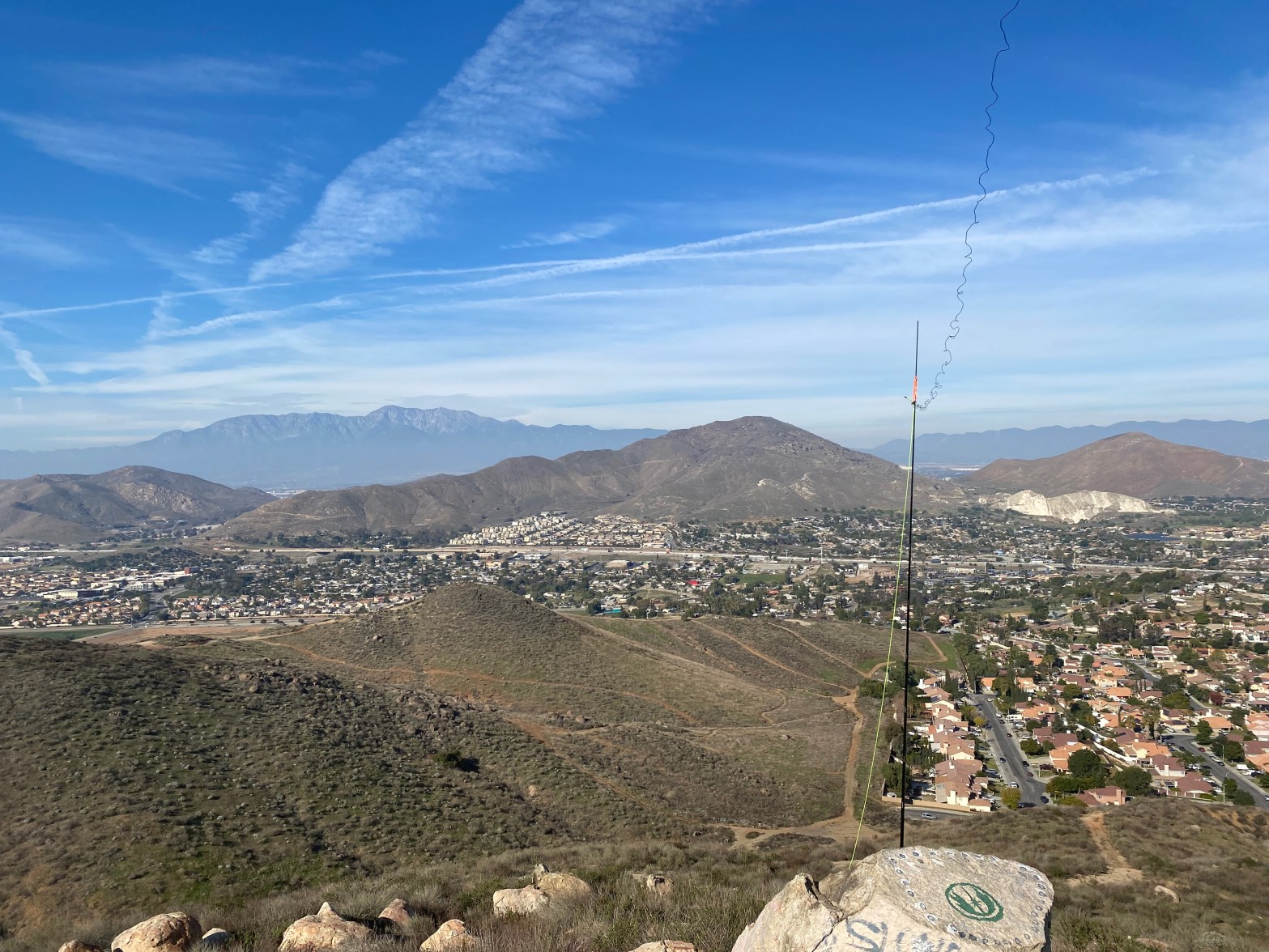
Looking north to the San Gabriel Mountains. 13 JANUARY 2024 W6/CT-241 Route: Trail/road Hike Distance: .5 miles round trip Elevation Gain: 150′ Navigation: Easy Steepness: Moderate Vehicle: Passenger car Road: Paved Cell Coverage: Good (Verizon) APRS Good Hike basics After doing Box Springs Mountain (W6/CT-180), I wanted to do another Complete, so I meandered throughContinue reading “Pedley Hills”
