
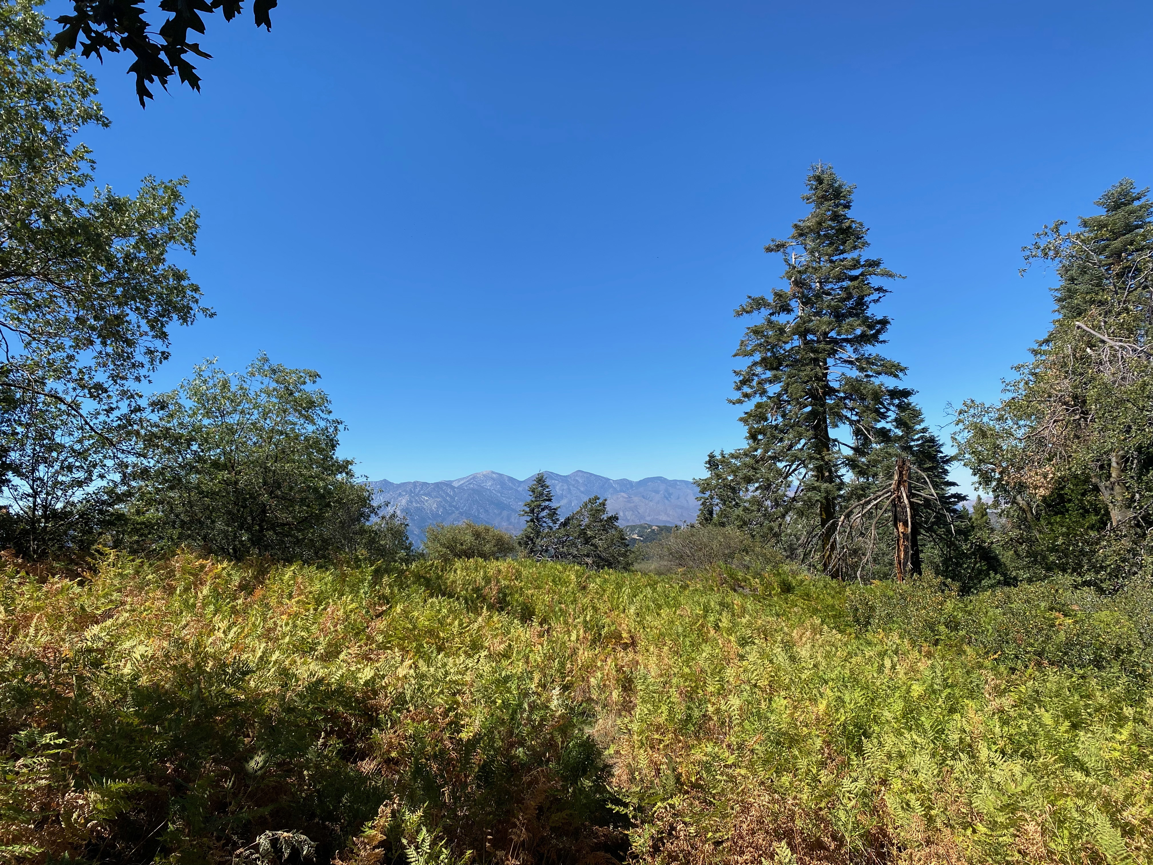
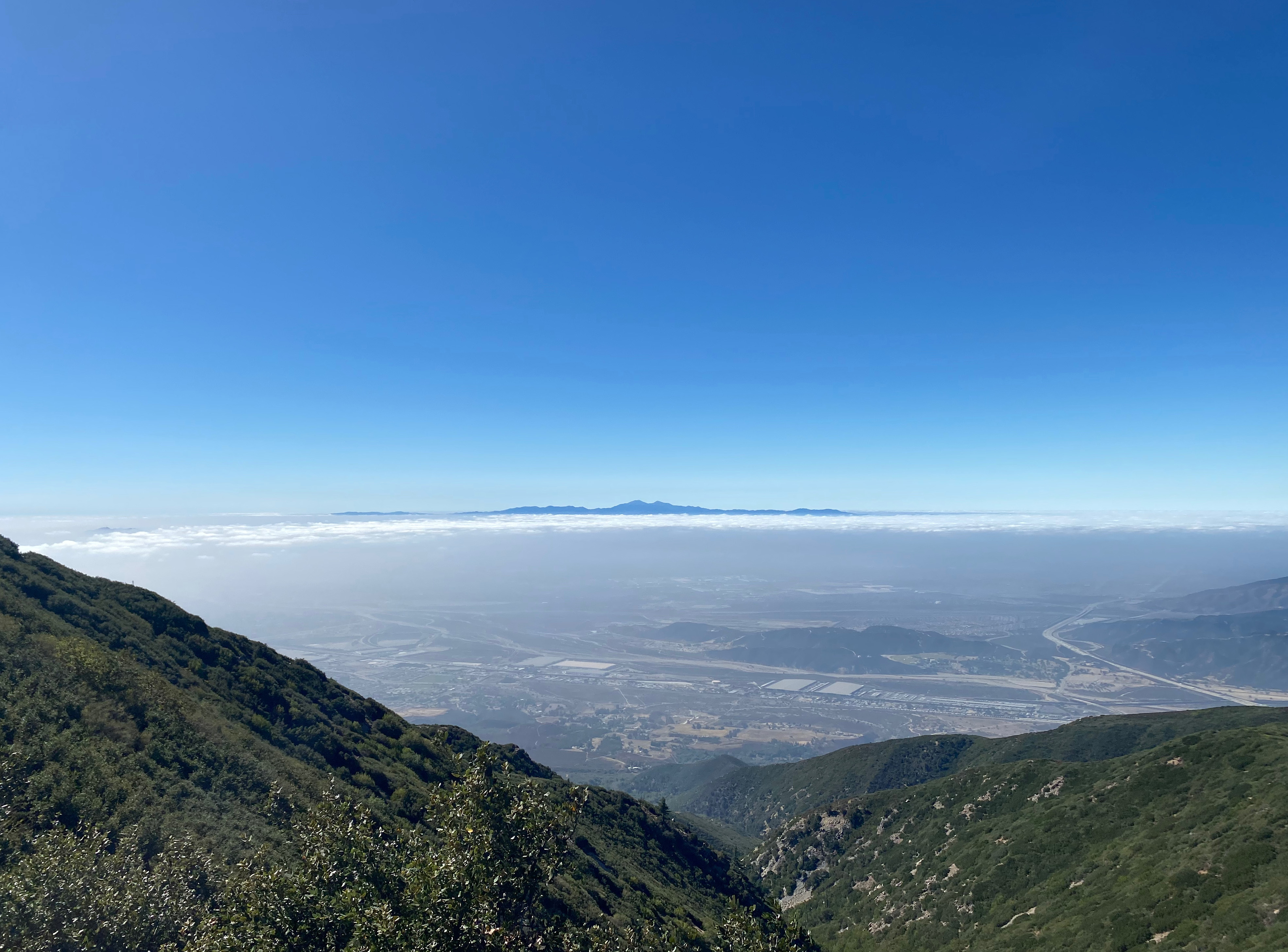
Looking east toward all the big San Bernardinos and Mount San Jacinto
1 OCTOBER 2022 W6/CT-099

| Elevation: | 5,699′ |
| Route: | Use trail |
| Hike Distance: | .3 miles round trip |
| Elevation Gain: | 140′ |
| Navigation: | Easy |
| Steepness: | Easy |
| Vehicle: | High clearance 4 wheel drive recommended |
| Road: | Steep, rocky forest service road |
| Cell Coverage: | Excellent (Verizon), APRS Excellent |
After doing Cleghorn, I thought I might drive over and do Bailey and Strawberry via forest service road 2N43 and Crestline. The mountain gods had other ideas. To start with, road that I took up to the ridgeline – a road that is not marked on the forest service maps, but follows the power lines up a little canyon — is incredibly steep and rocky. Maybe a piece of cake for the true off-road crowd, but for a off-highway newbie, it was pretty severe. This was the first SOTA summit I’ve done in Whitedog where I really appreciated having 4 wheel drive.
The actual summit of Bailey is not the lower peak with the communications facility that the maps list as being the benchmark “Bailey,” but rather a little further to the west.
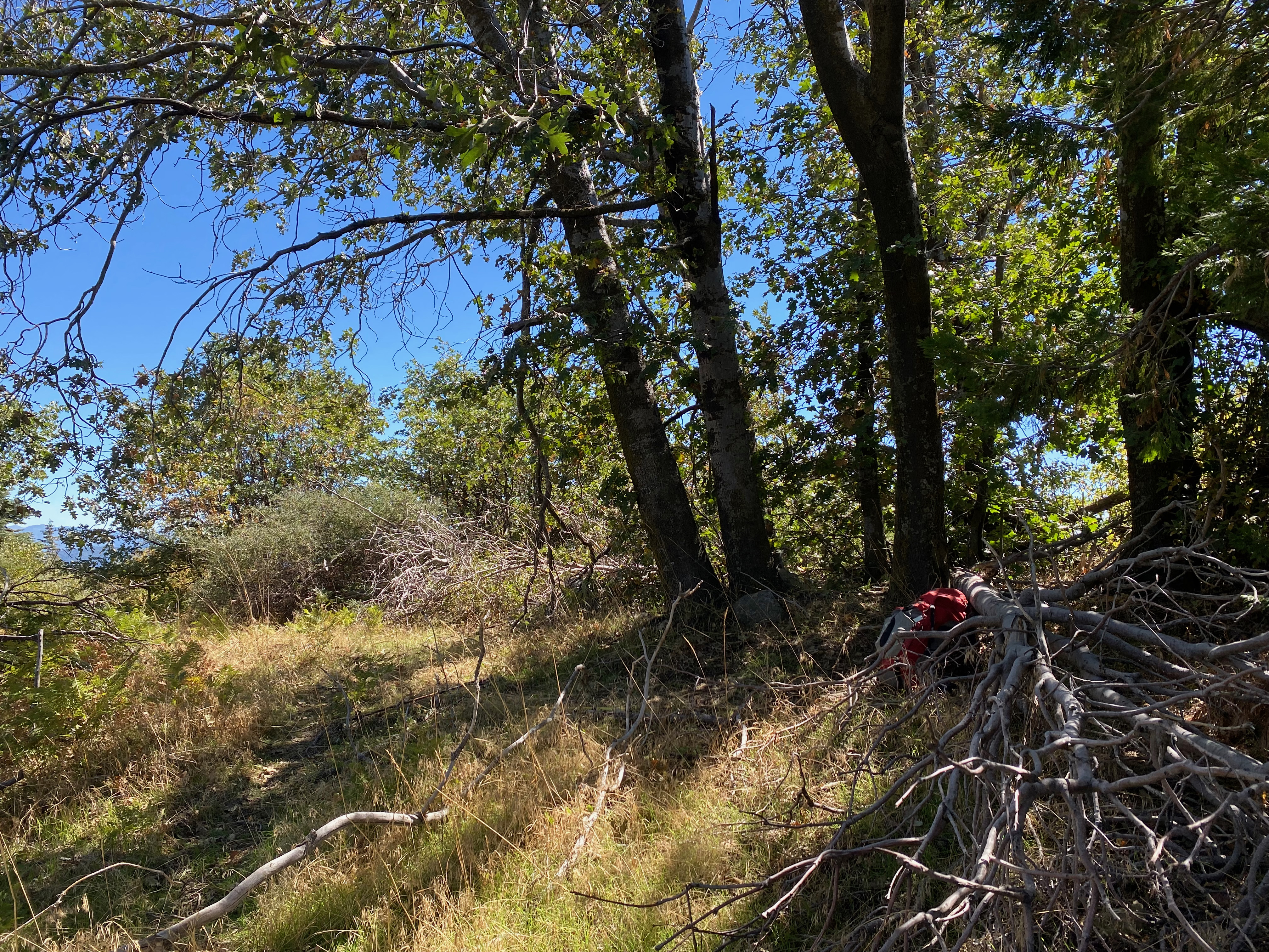
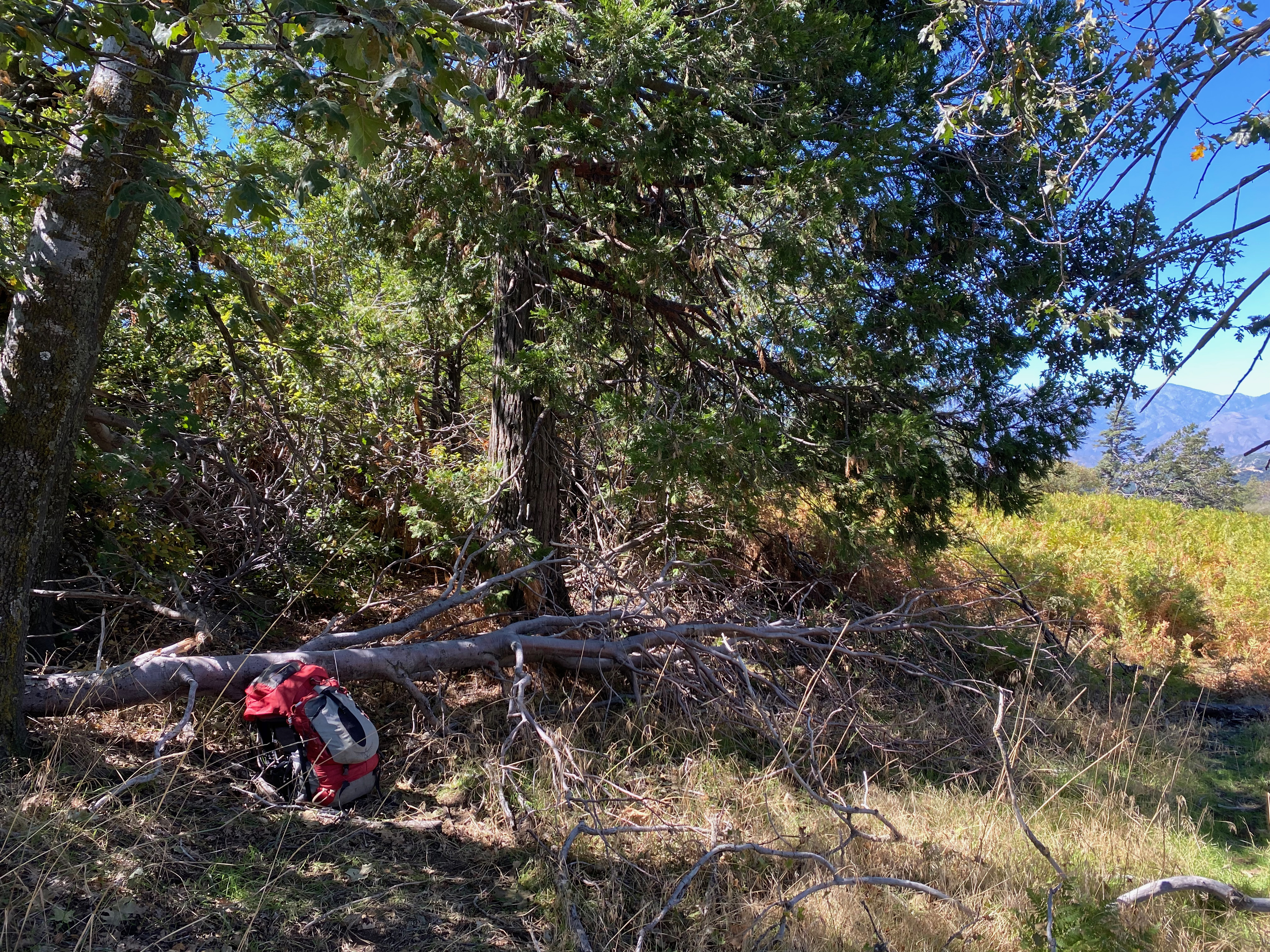
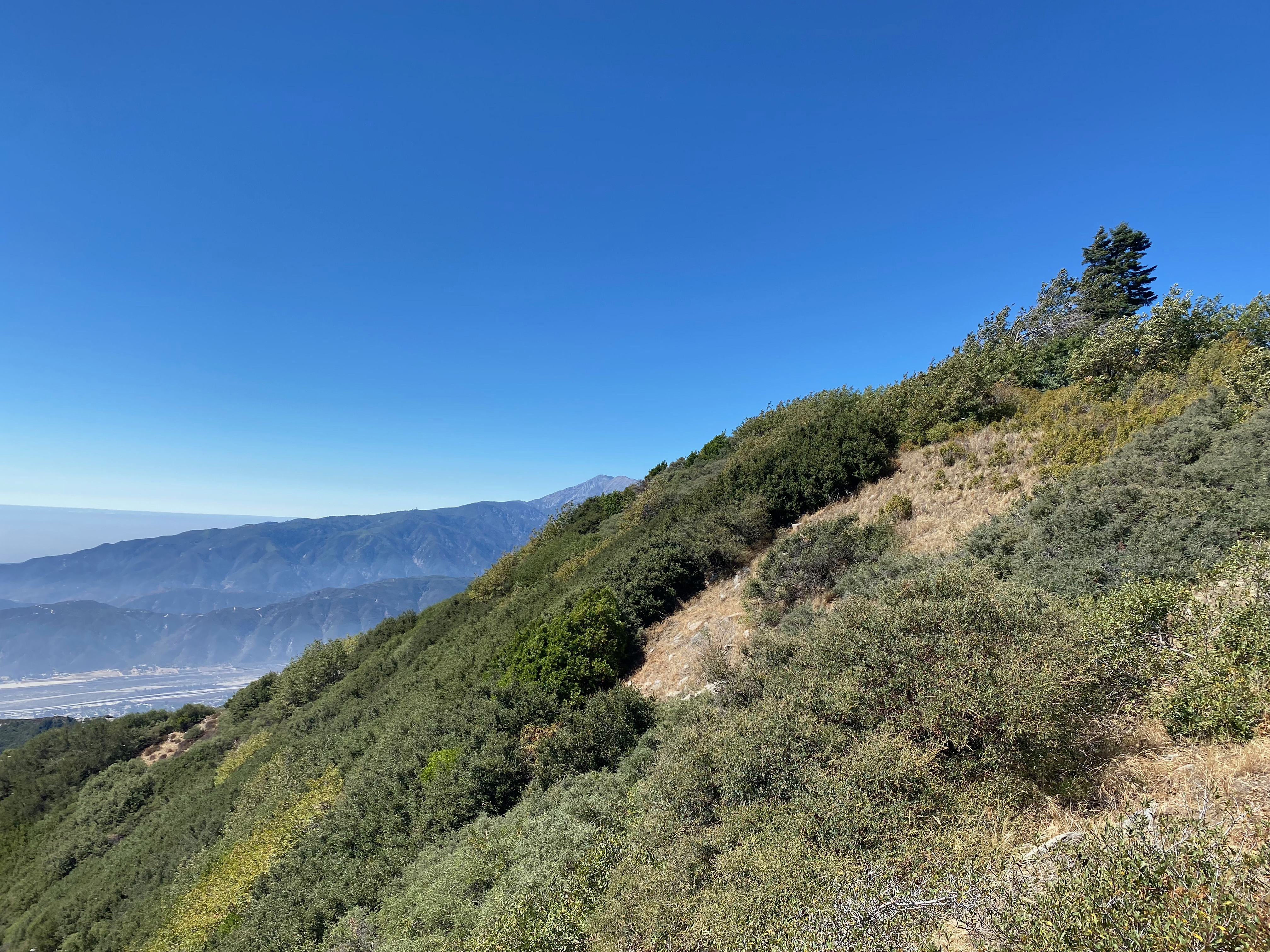
The summit is a short walk up an old jeep track and is nicely forested. There is plenty of shade and a nice little fern glen. The hike isn’t much of a hike, but the summit is very pleasant.
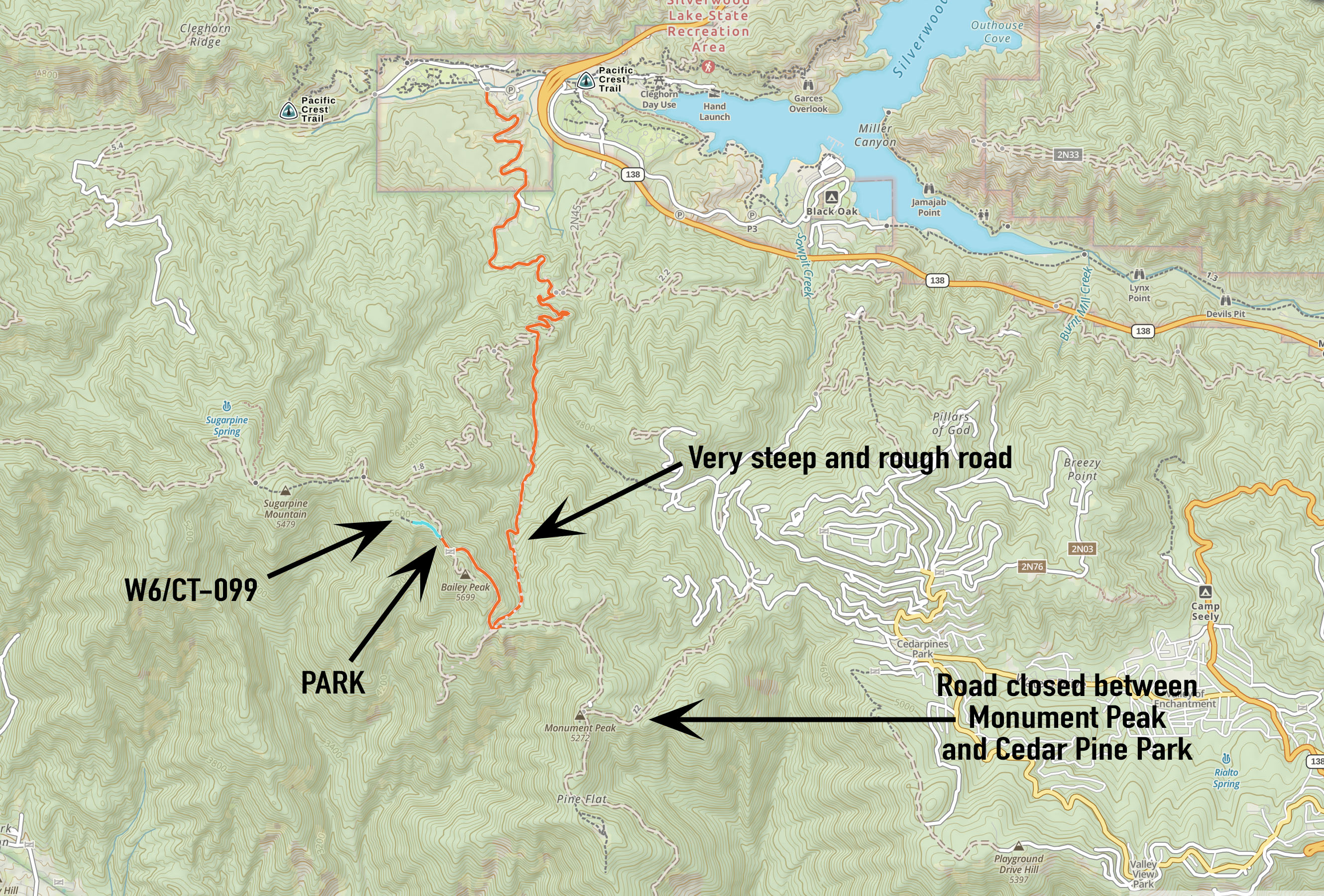
BIG NOTE: The road past Monument Peak is now closed. This pretty much ended any idea of running over to Strawberry (W6/CT-086) along the San Bernardino crest. Considering that this day started out as an attempt on Cucamonga (W6/CT-006), it was pretty much par for the course on punting with Plan B.


Leave a comment