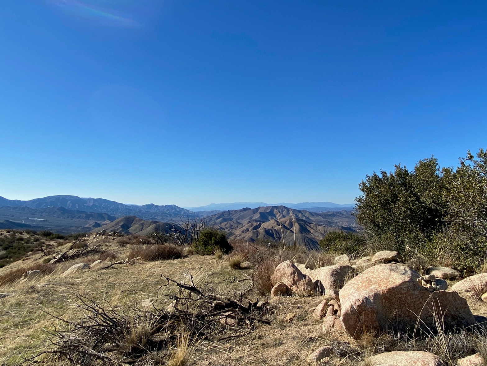
Looking west over the summit to the Sespe/Topatopa Wilderness. Hines Peak and Santa Paula Peak visible
22 FEBRUARY 2025 W6/CT-104

| Elevation: | 4,300′ |
| Route: | Cross country |
| Hike Distance: | 1.6 miles round trip* |
| Elevation Gain: | 750′ |
| Navigation: | Easy |
| Steepness: | Steep |
| Vehicle: | Passenger car |
| Road: | Good dirt road |
| Cell Coverage: | Good Verizon |
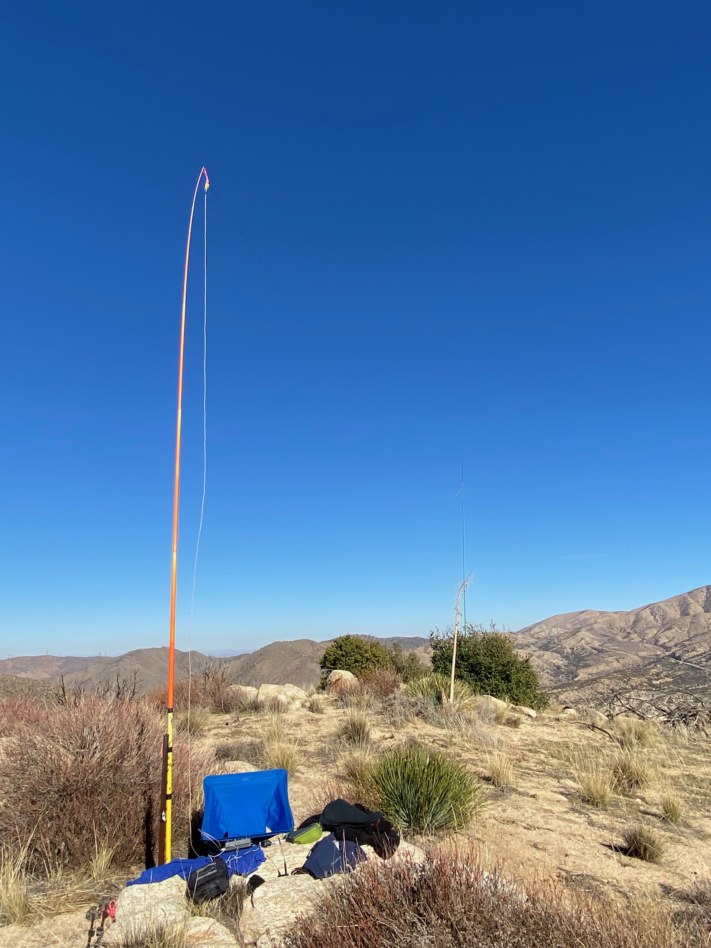
After doing Harold Beacon Benchmark I found the gate open off Aliso Canyon Road, so I drove Whitedog up the Edison Road to the saddle below Summit 4,300′. The hike is short and steep with good footing.
My efforts were rewarded with a pleasant activation. Note: this is not a good summit for 2 meters. the San Gabriel Mountains screen out the Los Angeles Basin.


Leave a comment