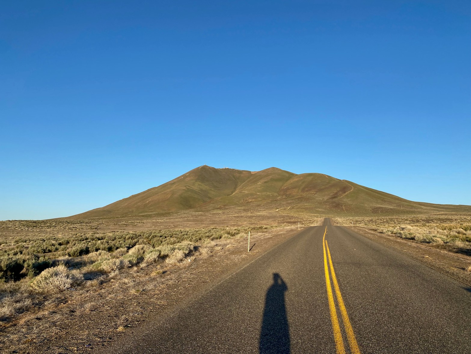
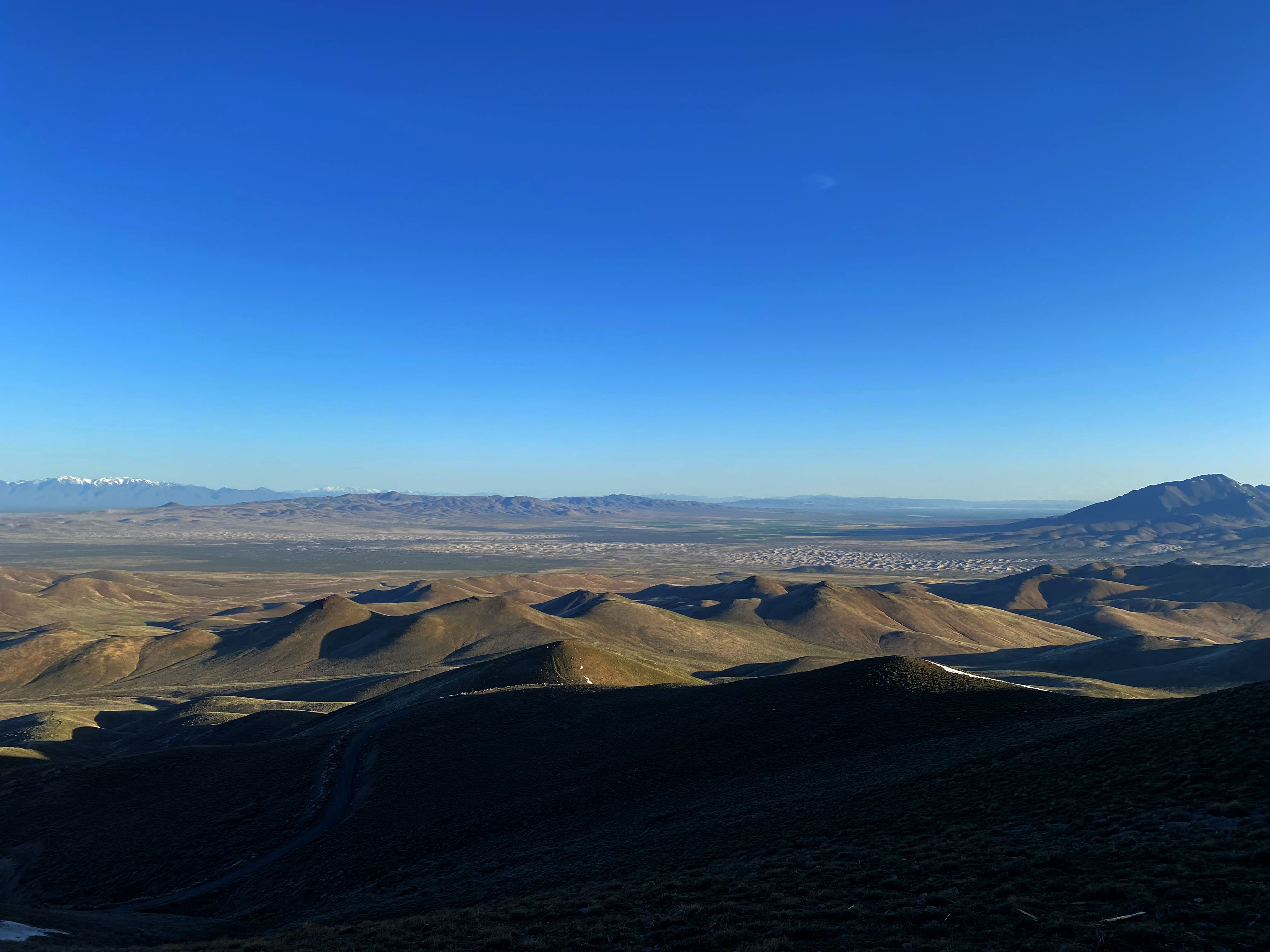
Sunrise on my way up to Winnemucca Mountain. Good road all the way to the top.
12-13 MAY 2023 W7N/HU-089
| Elevation: | 6,742′ |
| Route: | Drive up |
| Hike Distance: | n/a |
| Elevation Gain: | n/a |
| Navigation: | Easy |
| Steepness: | n/a |
| Vehicle: | Passenger car |
| Road: | Paved |
| Cell Coverage: | Excellent (Verizon), No APRS |
This was to be a weekend of new experiences for me. On this rather circuitous trip to meet up with Cassie KG6MZR at her adobe little casita in New Mexico, I wanted to go on a route that covered as much new ground for me in the west as possible. No small trick given that I have toured the west pretty extensively in my entire life. My PSK-31 club, the PODXS 070 Club offers a cool endorsement for working as many Maidenhead grid squares as possible. Grid squares DN11 and DN12 are sparsely populated and seldom, if ever, activated, let alone by the PSK-31 mode.
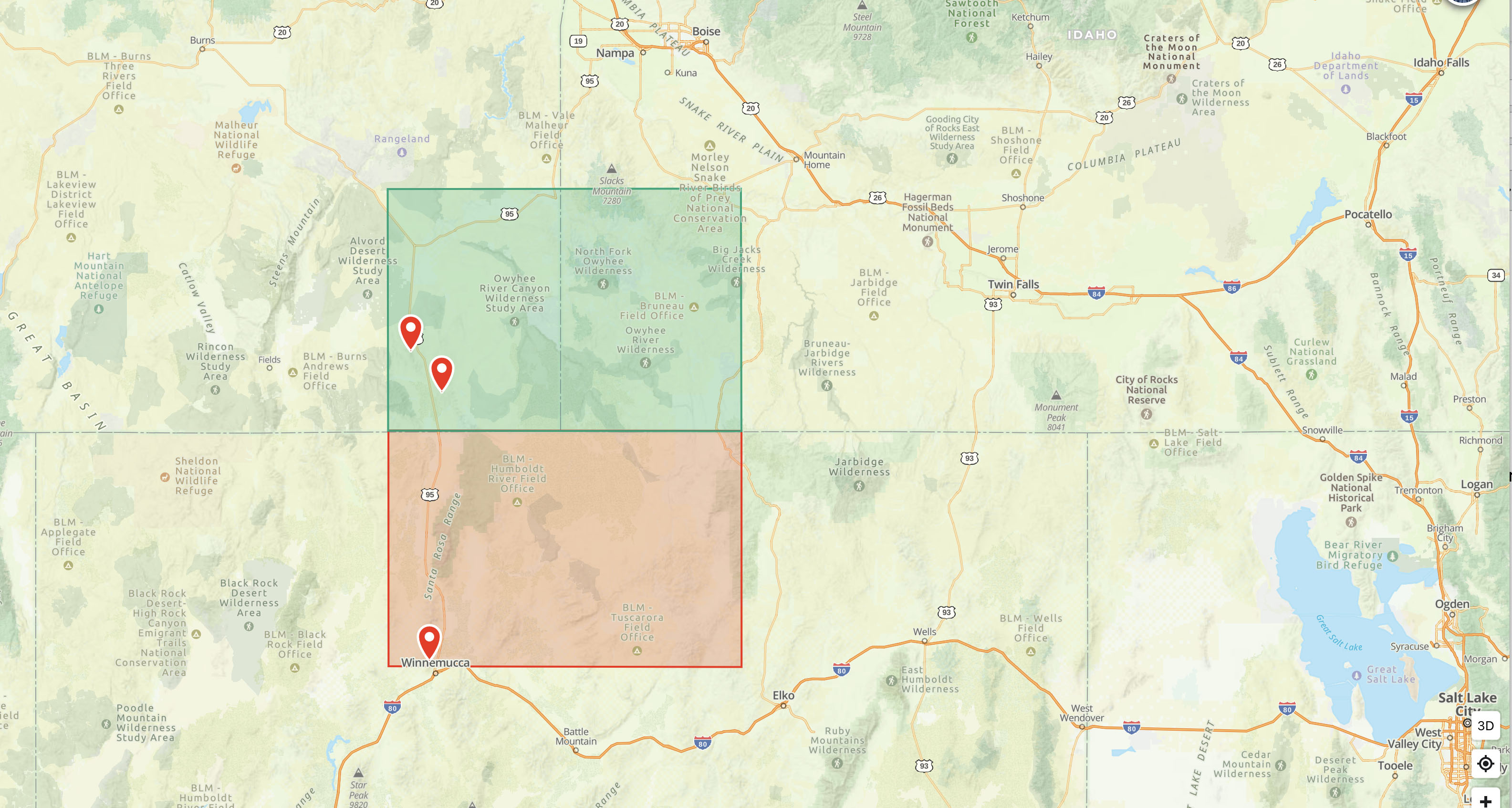
So I looked for two mountains in those two grid squares that I could drive up with the rather voluminous amount of equipment that the digital modes require.
I left home at 3AM on a Thursday to give me plenty of time to drive up to Winnemucca, Nevada. While I had no jobs at work active, I am basically on call and can work with a laptop in a pinch anywhere with an internet connection. However, work cooperated and I got no panic rush calls.
I made my way up beautiful, austere Highway 395 along the dramatic eastern scarp of the Sierra Nevada just after sunrise. This incredible water year has left the Sierra with a impressive snow pack and runoff. All my life Owens Lake has been a dry dust bowl largely due to the Los Angeles Aqueduct’s construction in 1913. Before then this fossil sea in Basin and Range country was over 100 square miles large.

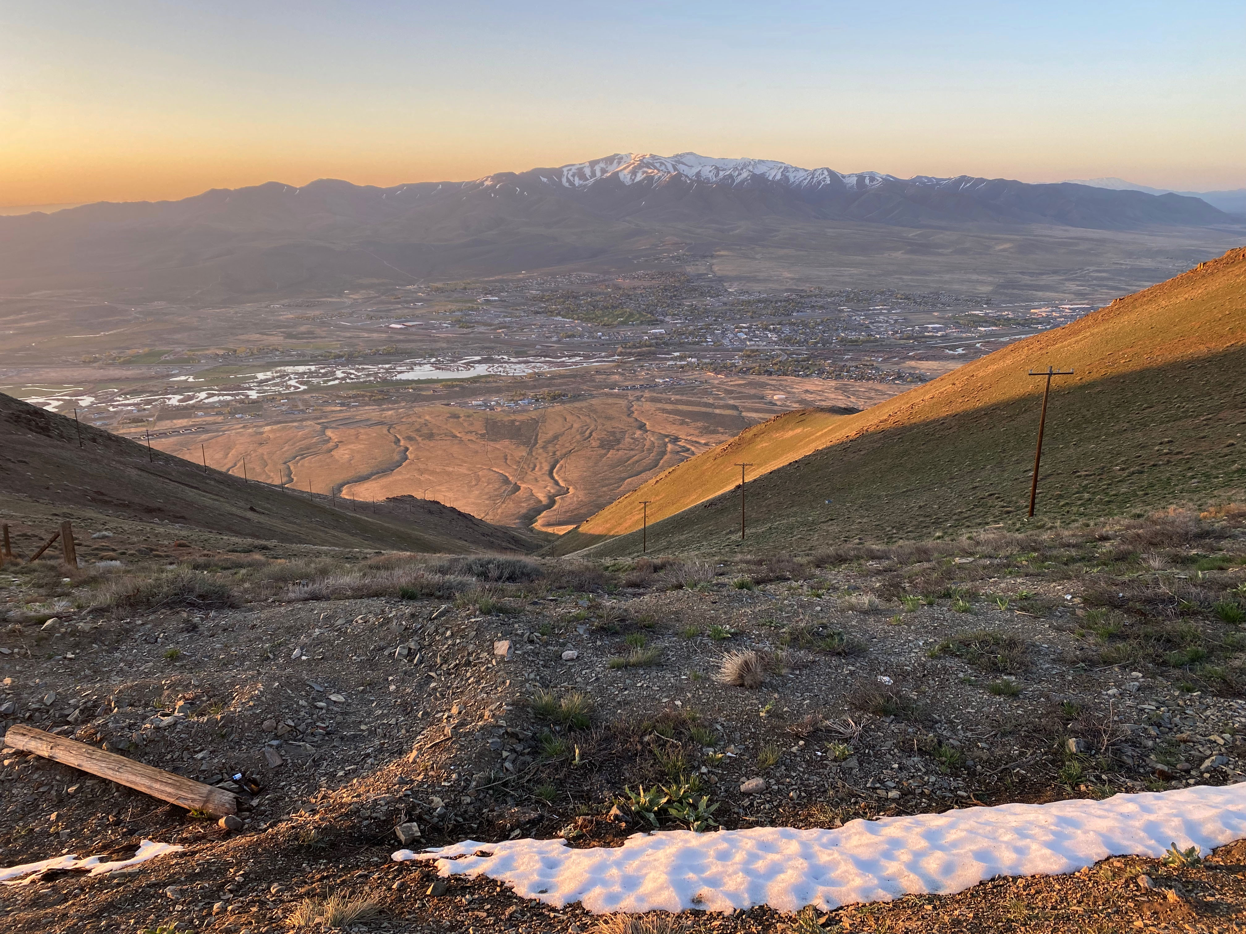
This was to be the theme for the day’s drive: a desert flourishing with the boisterous creeks and rivers pouring out of the snow-capped mountains. Once past Carson City I was in new territory — new dots on the map.
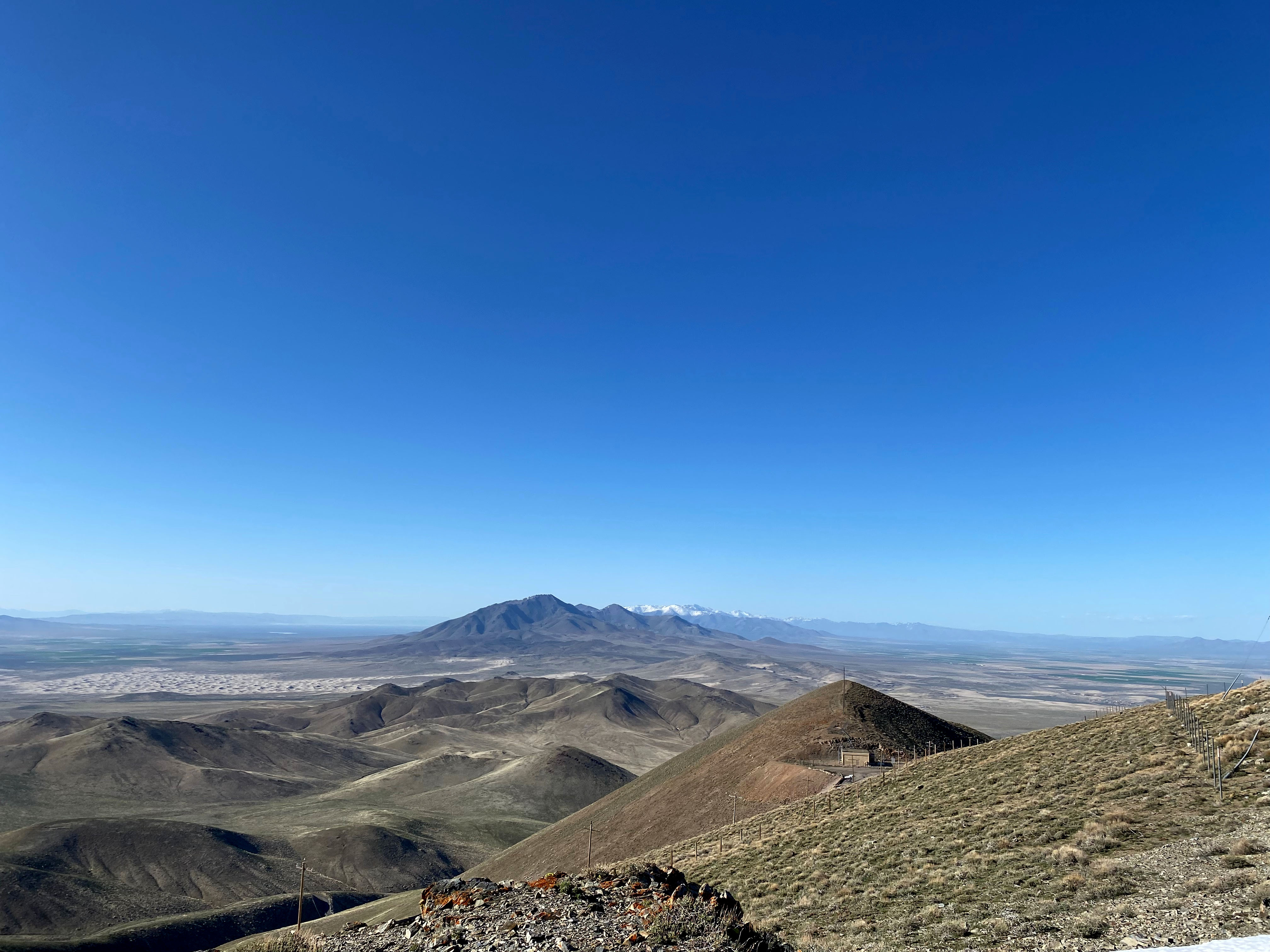
Winnemucca Mountain dominates the northern skyline from this pleasant town along the overflowing Humbolt River. The original transcontinental railroad came through this city. The Sundance Kid held up the local bank for $32,000 in 1900.
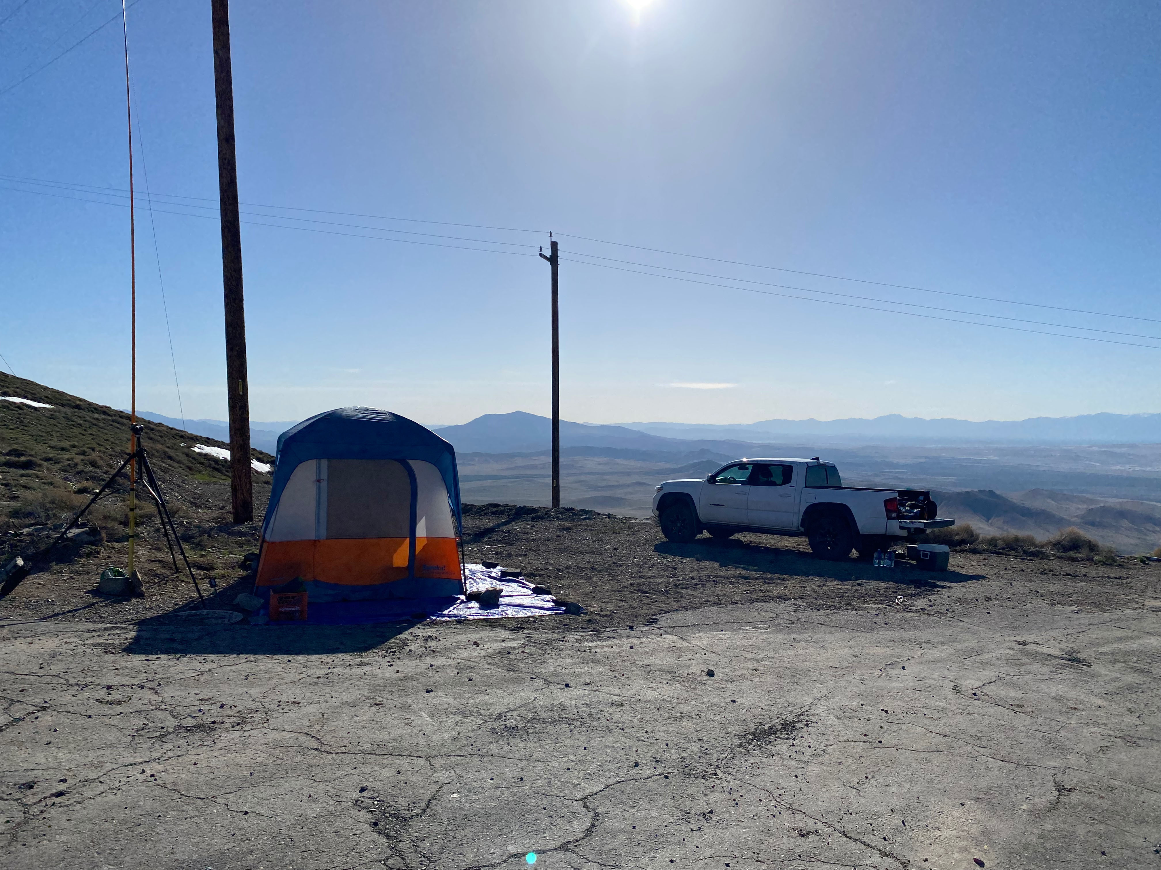
Getting all the way to Winnemucca in one day moved my plans up by a day. If I was to find cell service on the summit, I could camp out up there on Friday night. As the sun came up Friday morning I drove up the good paved road all the way past the local landfill and a public shooting range to the summit.
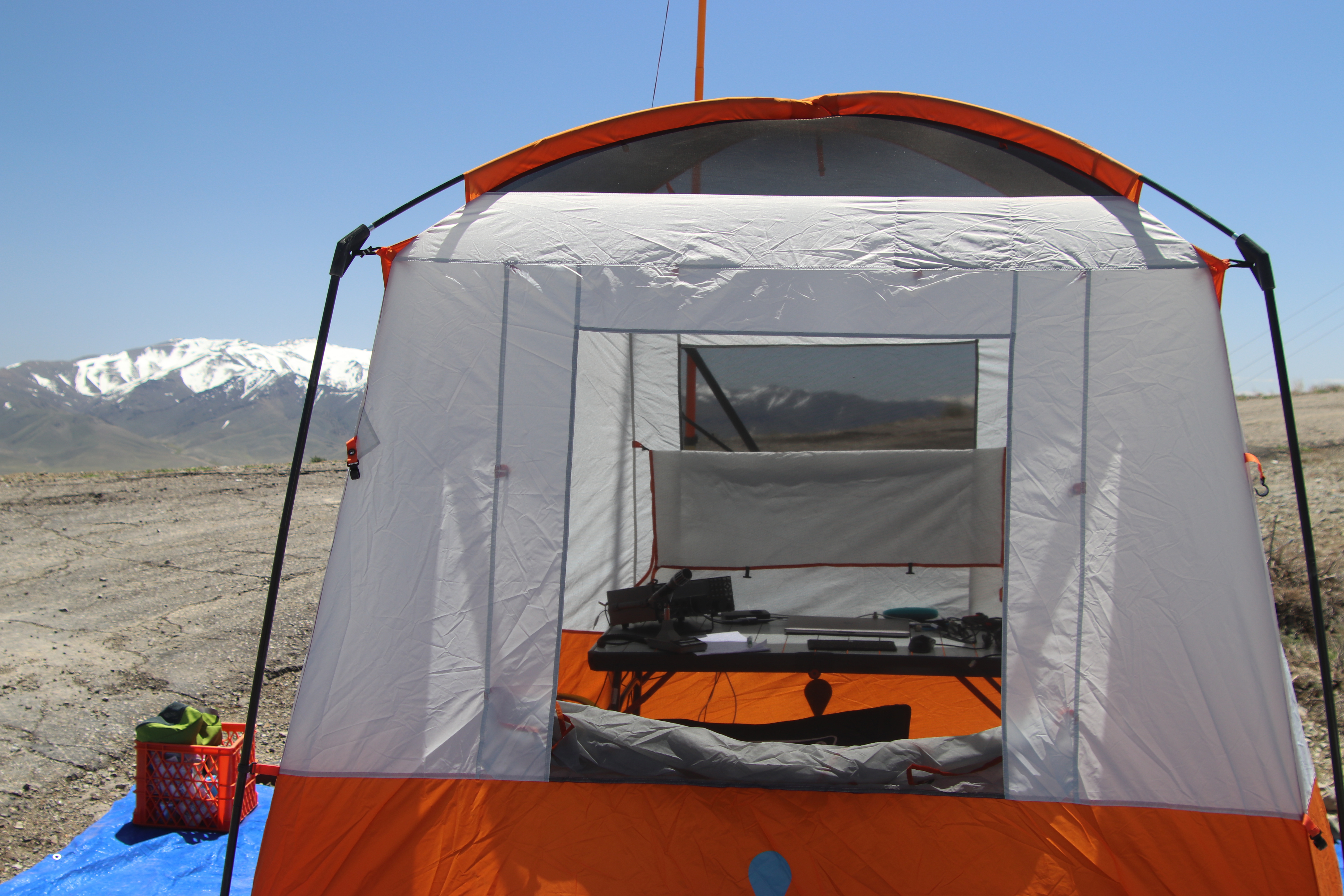
Weather was perfect as I made camp. This was my first SOTA summit using the digital modes. I was hoping for a lot of activity but HF conditions did not cooperate. There had been some solar disturbances and conditions were not that great. I made 54 contacts over the two Zulu days. Even though I was running my Elecraft K3/100 I only used 15 watts because I had up my QRP doublet. In retrospect I would’ve felt safer loading up a heavier gauge wire with more power. Here is my log:
That afternoon and night the wind came up enough to keep Chester the Drone grounded and, later, enough to keep me awake most of the night. As I broke camp in the morning, one of my tent poles shattered in the wind. This was going to change things for Saturday night on Blue Mountain


Leave a comment