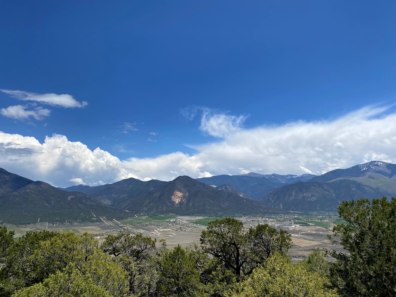
Looking east from the summit over the town of Questa toward Red River and the Sangre de Christo Mountains.
27 MAY 2023 W5N/SS-036
| Elevation: | 8,819′ |
| Route: | Trail and cross country |
| Hike Distance: | 5 miles round trip |
| Elevation Gain: | 1,000′ |
| Navigation: | Somewhat tricky coming down |
| Steepness: | Moderate |
| Vehicle: | Passenger car |
| Road: | Short, good dirt road |
| Cell Coverage: | Excellent (Verizon), excellent APRS |
After activating W0C/RG-172 in southern Colorado I felt up for another mountain, so I set my sights on either North or South Guadalupe Mountain in northern New Mexico. Two mountains, two states in one day. After reading Alan NM5S’s excellent route description I decided on the north summit because it was a little closer and the afternoon cumulus were beginning to build.
As Alan mentions the trailhead is at 36° 43.8522′ N, 105° 36.3026′ W for the Las Vistas De Questa Trail . I left Whitedog at noon and started along the easement over Chevron Mining’s property that leads to the Rio Grande del Norte National Monument land.
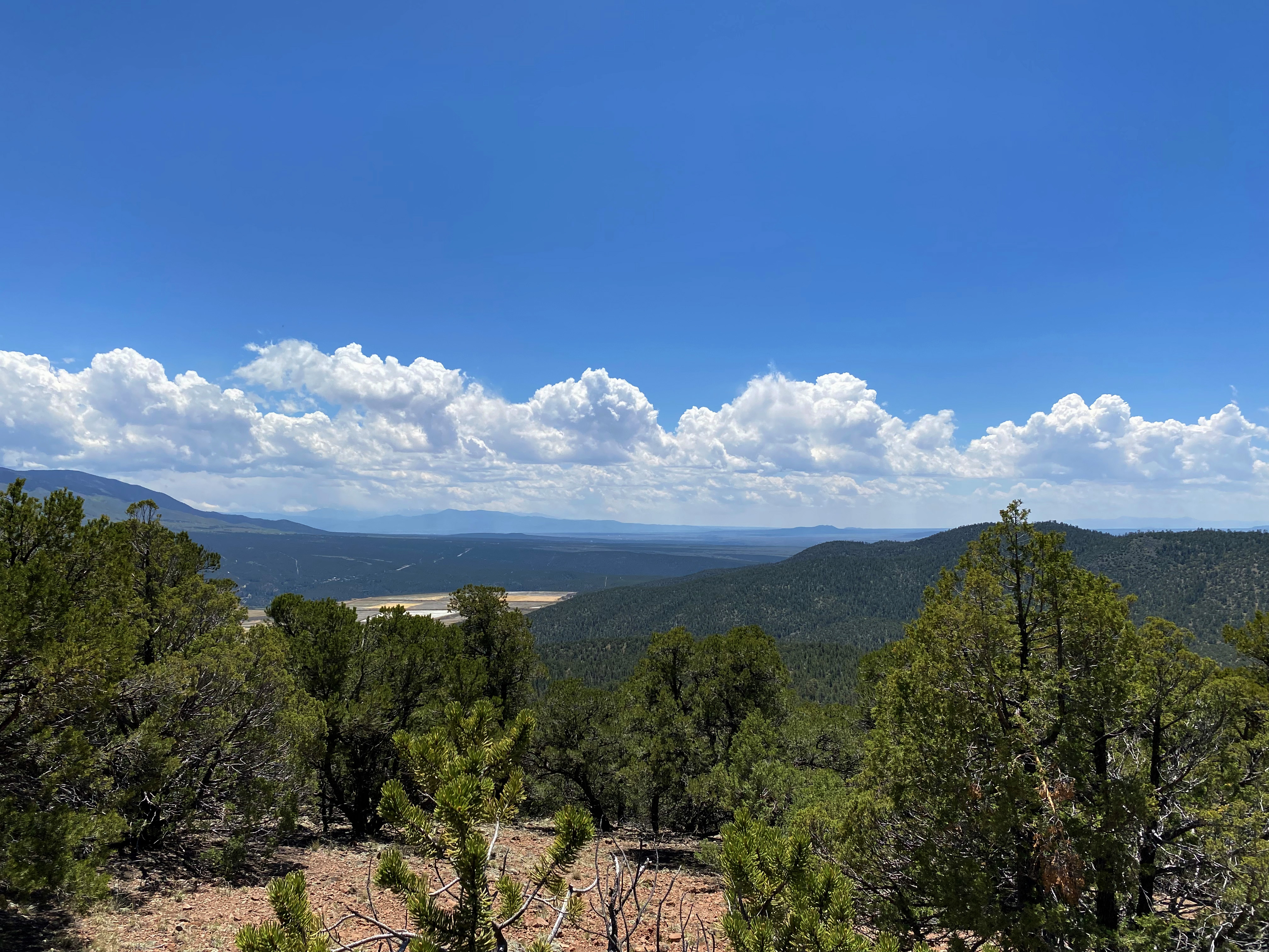
The route leaves the trail at 36° 43.8247′ N, 105° 37.8473′ W and seems to follow barely discernible, ancient logging/woodcutting roadcuts. The cross country terrain is fairly open but the trees obscure a lot of landmarks so navigation is a bit tricky, especially on the return.
A few drops fell and some distant thunder rumbled so I moved along as quickly as I could.
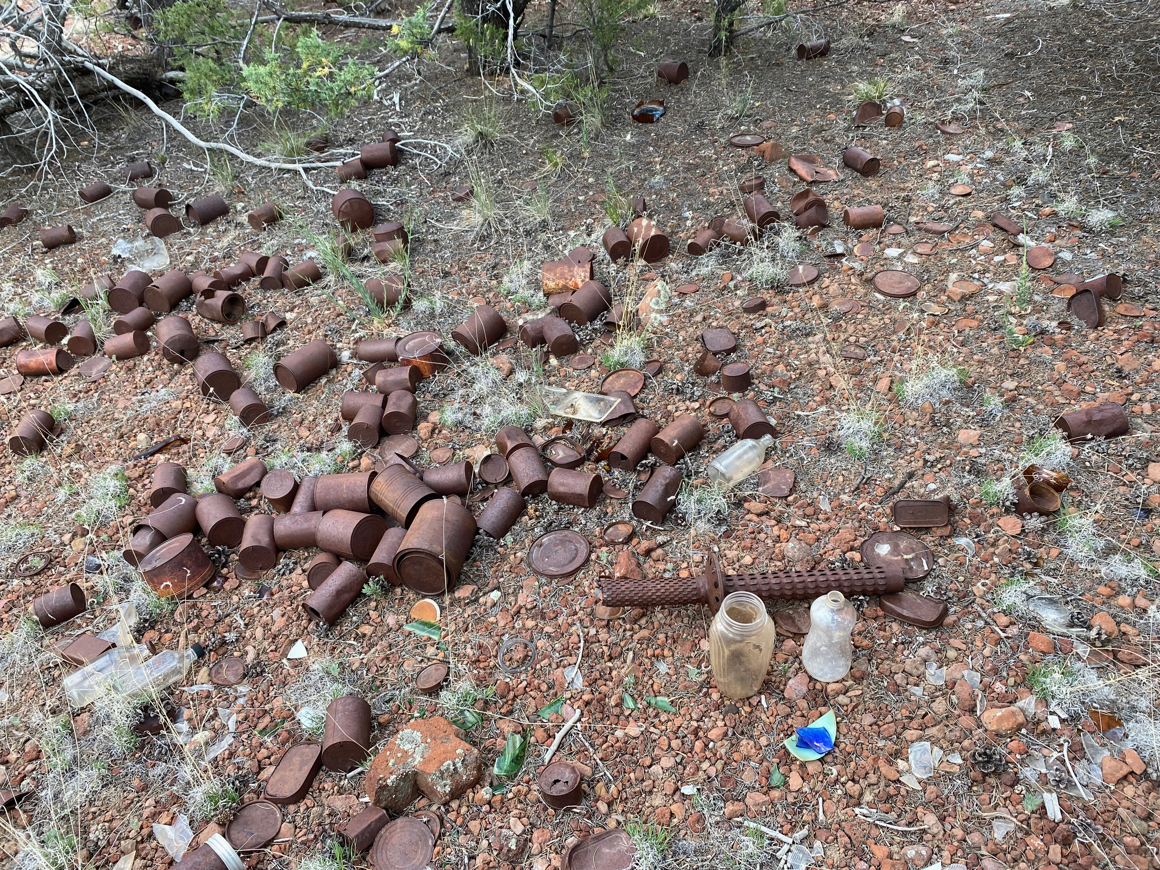
The summit is fairly wooded but found enough open space to set up my end fed random wire. The last entry into the register was over two years ago, so this isn’t an often-visited place.


Leave a comment