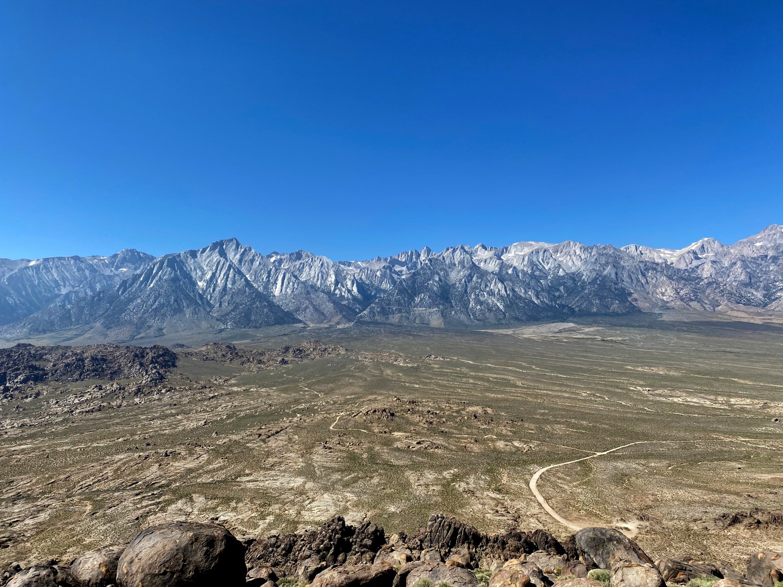
A spectacular view of the Whitney Crest from the high point of the Alabama Hills
22 SEPTEMBER 2023 W6/SS-636

| Elevation: | 5,413′ |
| Route: | Cross country |
| Hike Distance: | .8 miles round trip |
| Elevation Gain: | 500′ |
| Navigation: | A bit tricky |
| Steepness: | Moderate |
| Vehicle: | Passenger car |
| Road: | Good dirt road |
| Cell Coverage: | Spotty (Verizon) Didn’t check APRS |
I got into Lone Pine a day early to get ready for the big Mountain Goat backpack out of the Cottonwood Lakes trailhead. With 995 points racked up, I could afford to do a 4 pointer and still save the big day for the big mountains. In all my 60+ years of coming up Highway 395 I had never explored the Alabama Hills.
Many of the roads in the area were closed due to damage inflicted by tropical storm Hilary last month. This included Whitney Portal Road through the Alabama Hills. I took a very circuitous route around south on Tuttle Creek Road back to Whitney Portal road only to discover that Movie Road was closed at the Mobius Trailhead.
Not being in any hurry I drove up and around on Hogback Road to the other end of Movie Road only to find it closed there too.
Not being in any real hurry and not really minding a longer hike I parked there and walked several miles to the spot where I otherwise would’ve parked Whitedog. It turns out people were driving around the “Road Closed” signs, but the added miles didn’t really bother me. The way I did it was 4 miles round trip and 650 feet of elevation gain. I had time to kill before my 3pm check in time in Lone Pine.
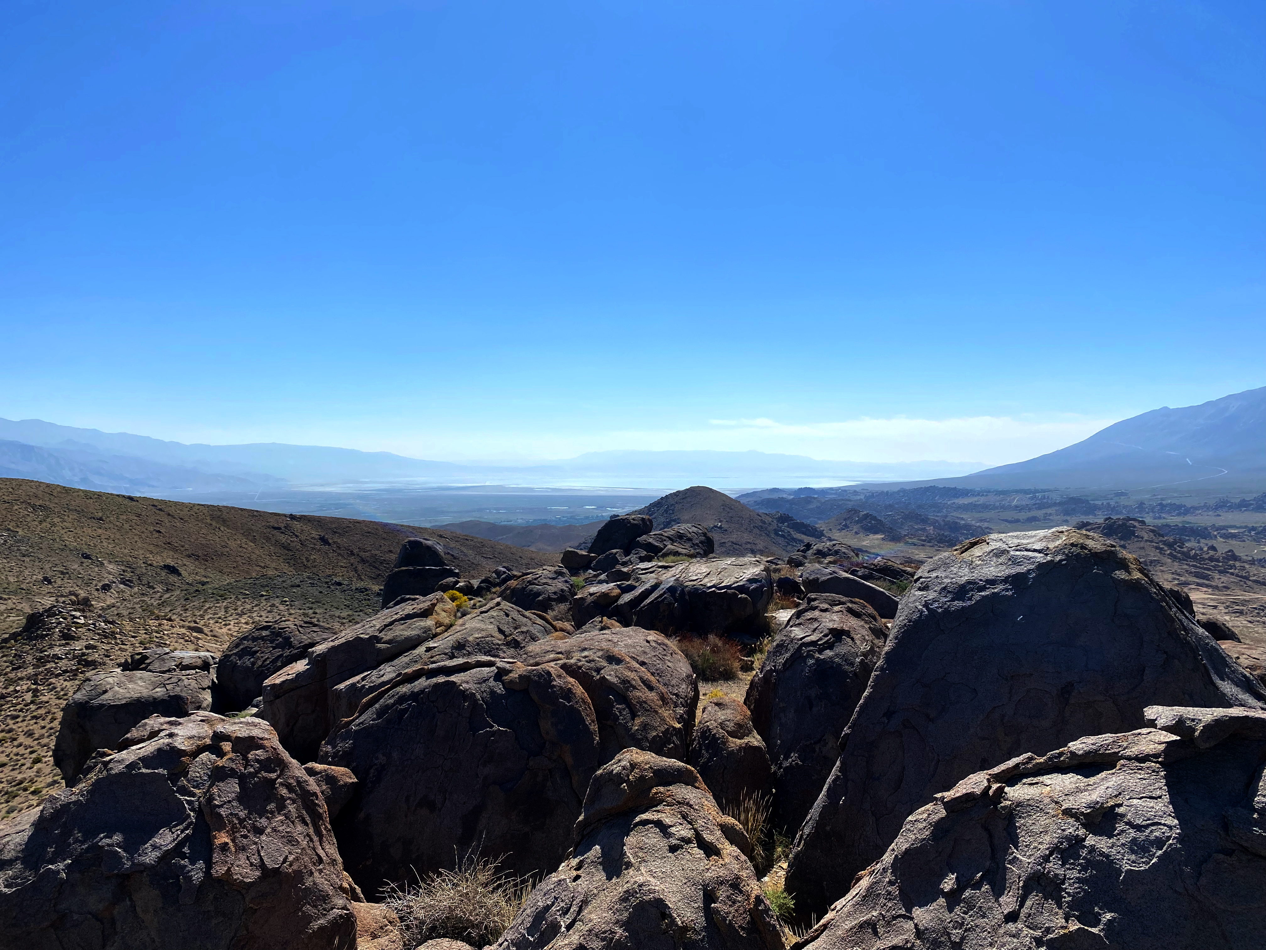
Going up from Movie Road I took a fairly direct route from the saddle to the north of the summit. This got me into some genuine 3rd class bouldering. Not the easiest thing with trekking poles and a 25 pound pack. I found an easier way down around the east side that I would suggest for those not wishing to tangle with the boulders.
Here is my unduly lengthy track up all the way from Hogback Road and here is my track down just to Movie Road that I would suggest for those seeking the easiest way up and down.
As you can see from the photograph above, the view of the biggest part of the Sierra Crest is worth the price of admission alone. If the hike was a bit more interesting I’d give this one three stars.
The activation was short and sweet with 4 summit-to-summit contacts and the usual suspects 😉


Leave a comment