
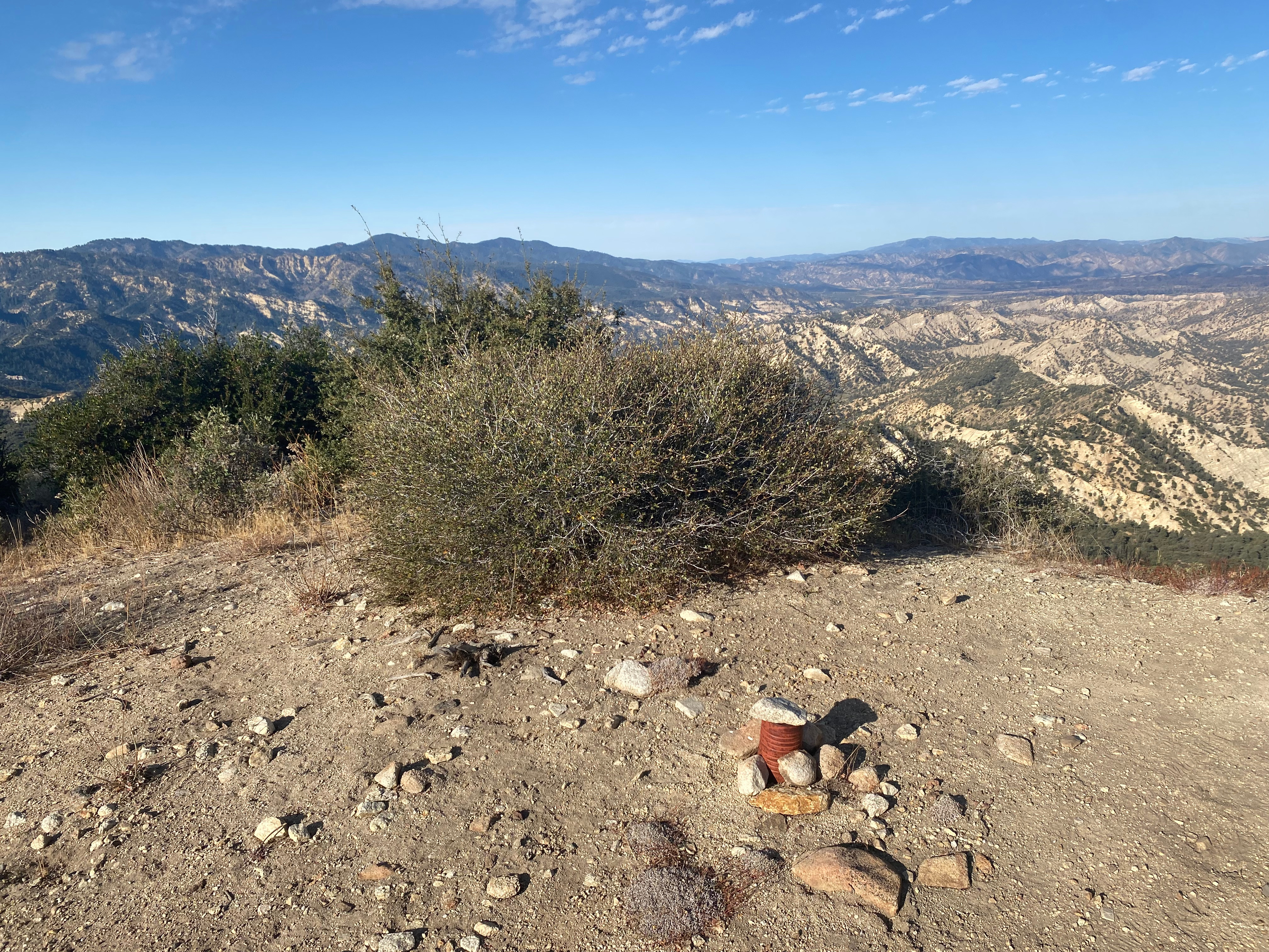
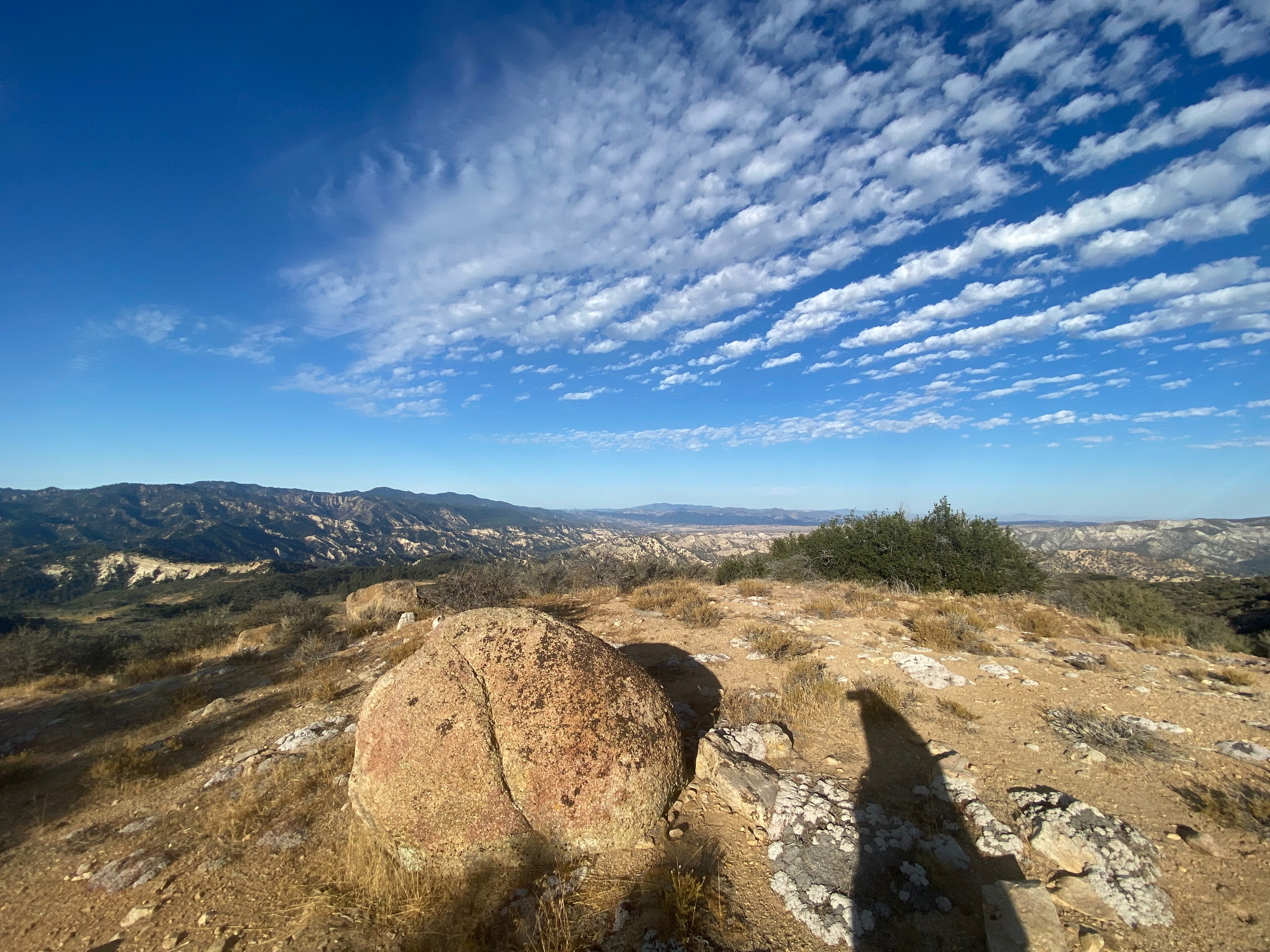
Here’s my comfy little station looking east toward Lockwood Valley and Frazier Mountain.
5 October 2024 W6/SC-012

| Elevation: | 6,585′ |
| Route: | Cross country |
| Hike Distance: | 3.8 miles round trip from gate |
| Elevation Gain: | 875′ |
| Navigation: | A bit tricky to start/end |
| Steepness: | Moderate |
| Vehicle: | Passenger car |
| Road: | Good dirt road |
| Cell Coverage: | Good Verizon |
This is a pleasant cross-country hike in a less-traveled corner of Southern California. I first hiked this mountain on September 18, 2003 when I was doing the HPS list. This time I found Pine Springs Campground closed and was obliged to park Whitedog at the gate about 3/4 of a mile short of the usual parking spot. So that added a mile and a half to my trip that I did not mind on this nice day.
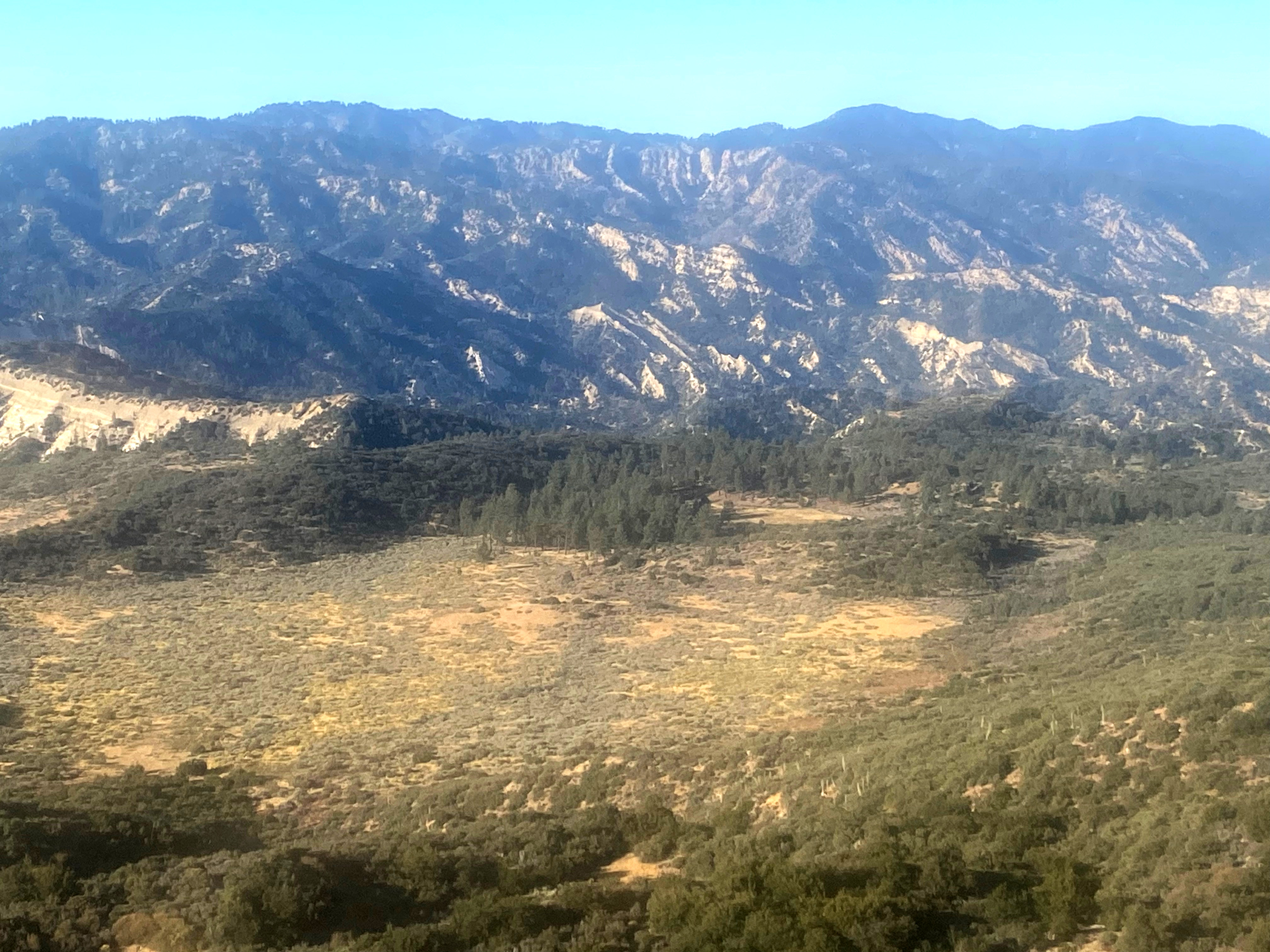
Navigation on this hike is a bit tricky at the start and at the end as noted above. The trick is to find the correct ridge to ascend after going through the wash to the southwest of the campground. Once you are on the ridge, there is a fairly well established use trail that follows an ancient firebreak the was once bulldozed. If you miss this cross-wash transition on the way back it could lead to trouble, so make careful note of the route going out and look back to establish your landmarks for the return trip.
I got a bit off-route going up so here is my descent track that, as usual, provides a better route to follow.
Band conditions were spectacular for a change and I had a lot of fun working station in Europe as well as most of my usual favorites on 7 bands. I got my first 10m activation in quite a while after a summer of slim pickings on that band.


Leave a reply to wringmaster Cancel reply