
Little Cahuilla Mountain from the Cahuilla Mountain trail. Note the saddle to the right of the summit.
12 APRIL 2025 W6/CT-253

| Elevation: | 5,043′ |
| Route: | Bushy cross country |
| Hike Distance: | 2.4 miles round trip |
| Elevation Gain: | 600′ |
| Navigation: | Moderate |
| Steepness: | Moderate |
| Vehicle: | High clearance vehicle suggested |
| Road: | Rutted forest service road |
| Cell Coverage: | Good Verizon |
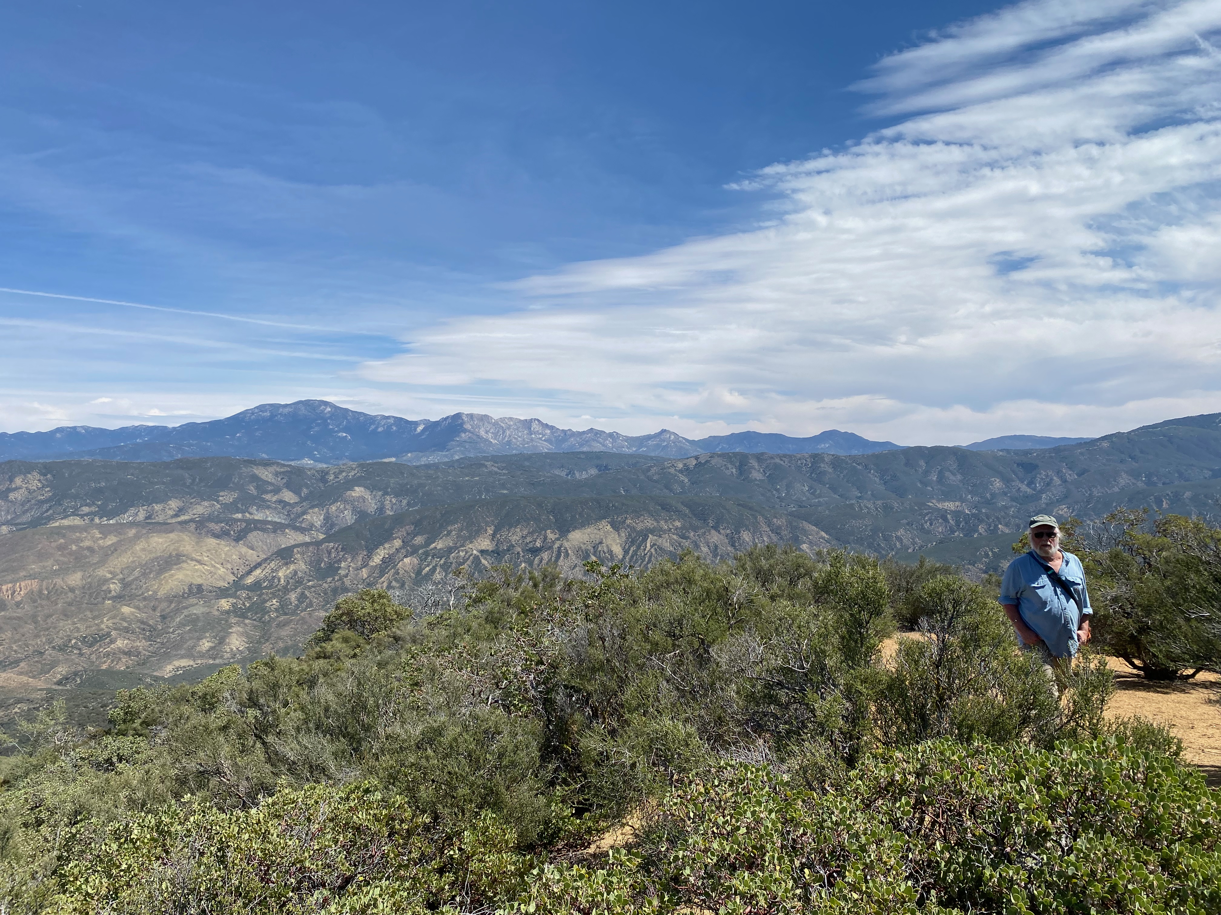
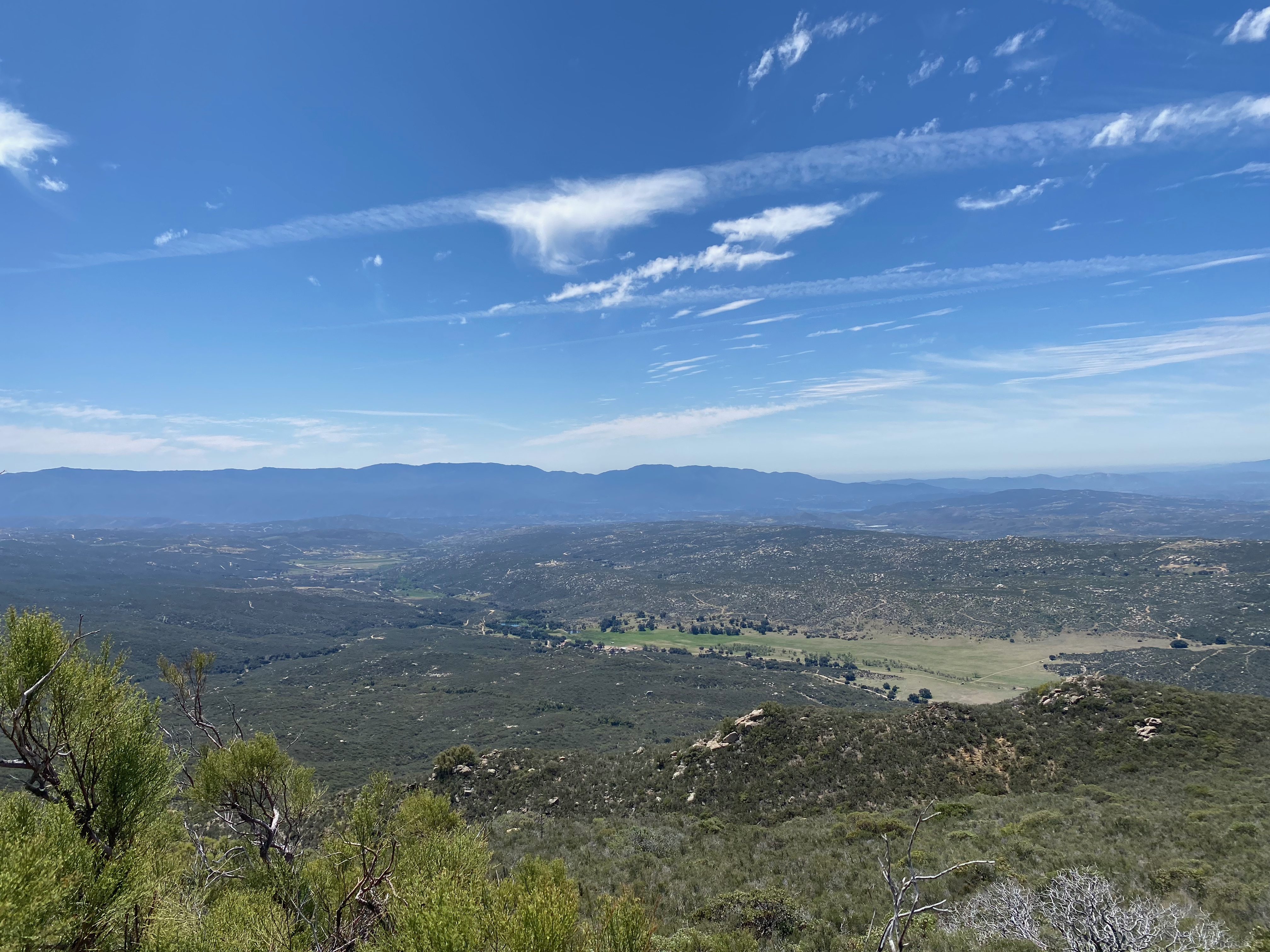
My brother Mark and I wanted to do an overnight car camping trip and the Cahuilla Mountain Wilderness Area seemed like a good spring trip. We were not disappointed. This area is an overlooked gem — very quiet — away from the noise of highways. In all my years of exploring Southern California I had somehow missed the hidden corner of the Golden State.
We had planned on doing Little Cahuilla and Red Mountain, but the former was surprisingly taxing. We found the use trail easy to follow but somewhat overgrown with Redshanks and Manzanita. Ascending the first hill I kept a sharp eye out for rattlesnakes and, sure enough, a large one was right in our path. We clamored around this guy on the rocks that provide the preferred habitat for these shy reptiles. I was glad I brought my trekking poles to probe ahead when the brush precluded seeing where I was putting my feet.
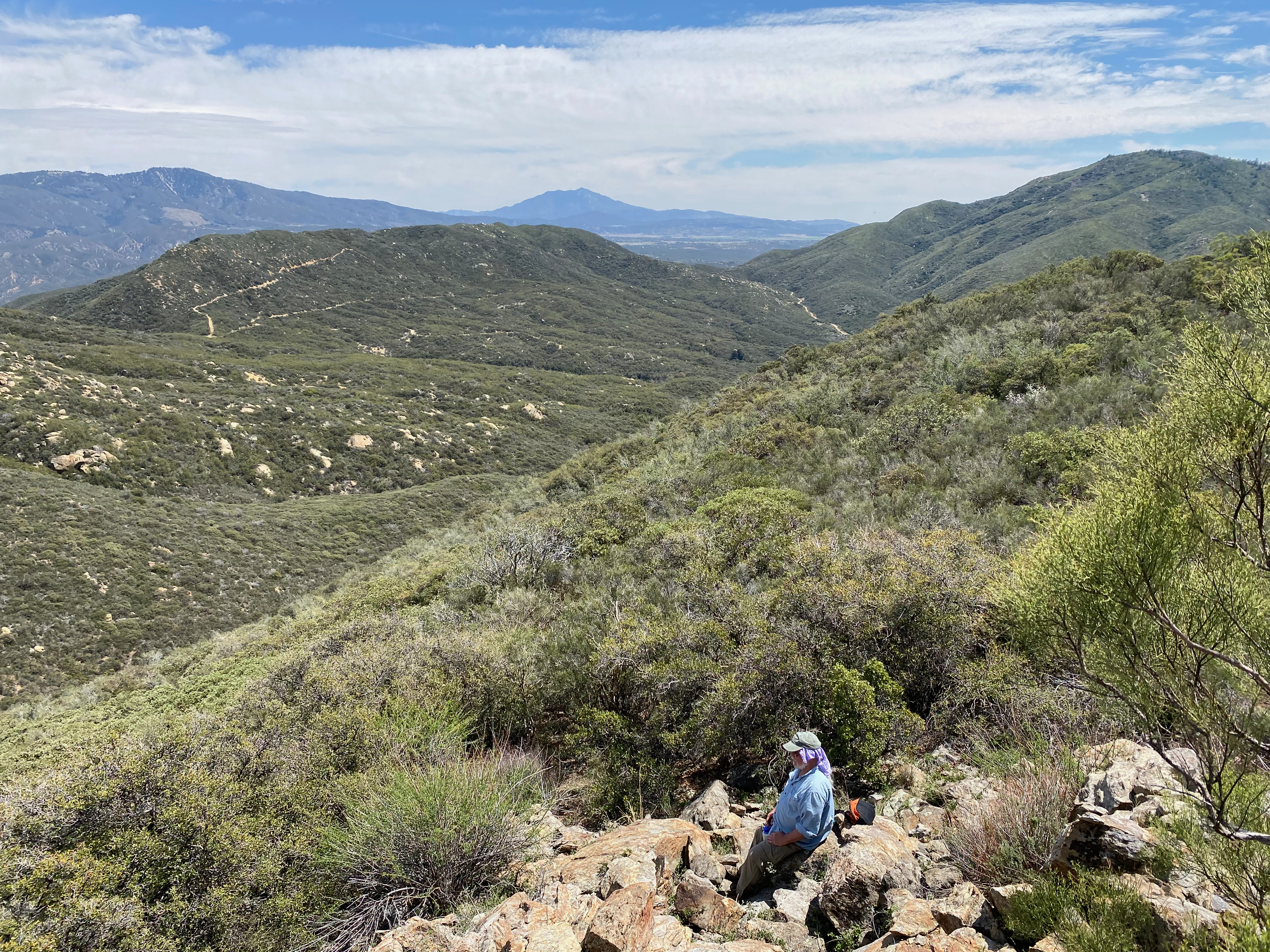
My brother remarked that this seemed to be the longest mile and a quarter he’d ever done. To cap it all off there is a deep saddle that must be traversed right at the end. I’d say the 600 feet of elevation gain underestimates the elevation loss.
There is not a lot of space on the summit rock pile and we disturbed another rattlesnake just off the summit. The first warm days in March and April are always an adventure.
I kept this activation short but still managed 4 s2s contacts if not anything further than Washington and Arizona.


Leave a reply to Carol Cancel reply