
The view northeast across the Conejos River and the San Luis Valley to Blanca Peak (14,350′)
7 SEPTEMBER 2025 W0C/RG-165 – First Activation

| Elevation: | 8,189′ |
| Route: | Cross country |
| Hike Distance: | 2 miles round trip |
| Elevation Gain: | 575′ |
| Navigation: | Very easy |
| Steepness: | Moderate* |
| Vehicle: | Passenger car |
| Road: | Paved road** |
| Cell Coverage: | Excellent Verizon |
Sierro del Ojita perhaps gets its name as a lookout for Pike’s Stockade along the Conejos River to the north. The stockade was built in 1807 by United States soldiers on the Zebulon Pike expedition. Pike was arrested by Spanish authorities and taken to Santa Fe for trespassing on then Spanish soil.
Sierro del Ojito is the highest of the so-called Fairy Hills section of the San Luis Hills
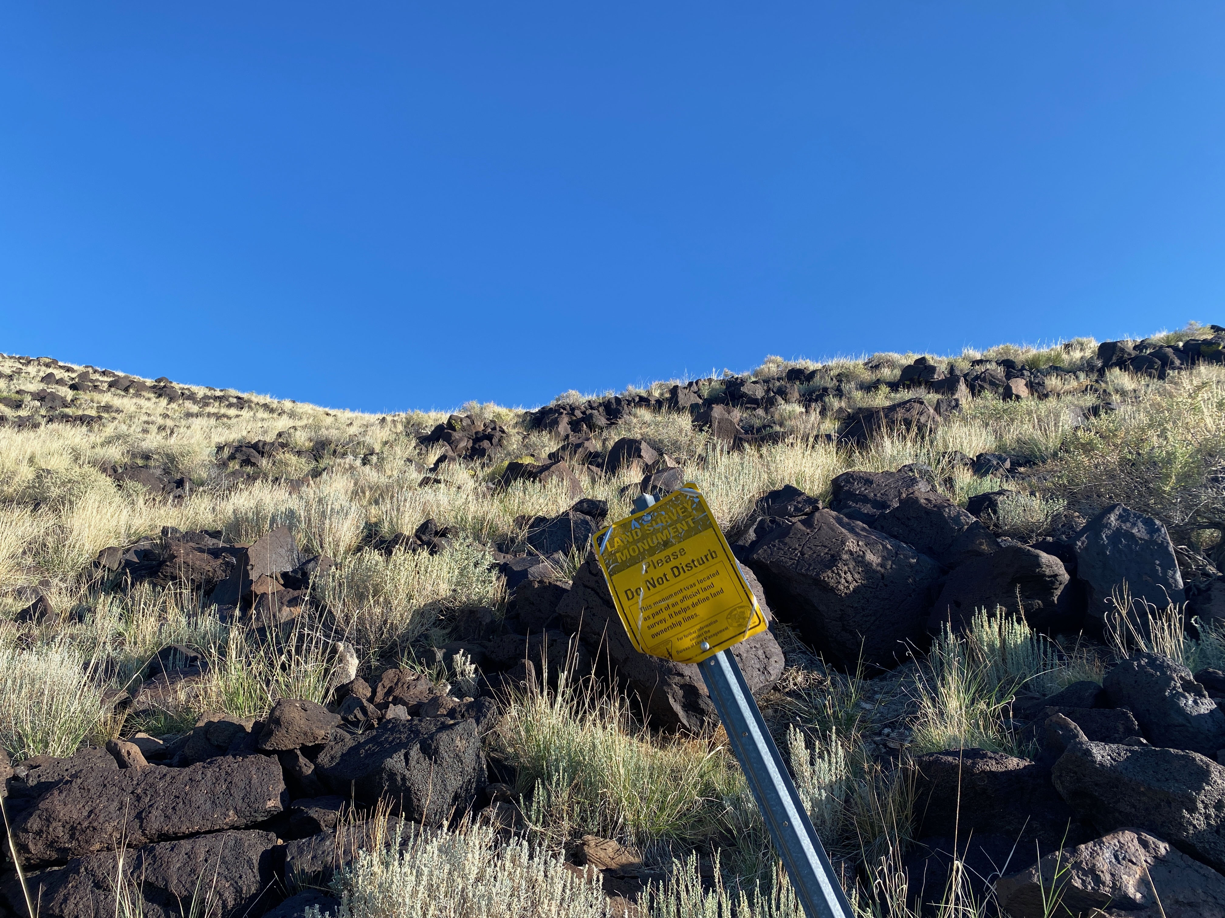
In planning this activation, it wasn’t clear from my Gaia Maps Private Property overlay if this summit was on BLM land or not. There is clearly BLM land on three sides, but the actual summit wasn’t referenced. I figured I would start on BLM land and turn around if I came across any “No Trespassing” or “Private Property” signs. I didn’t want to go the way of old Zebulon Pike. 😉
I parked along County Road W in a section that was clearly BLM land and started across the high desert toward a prominent gully on the south side of the mesa.
My heart sank when I saw a sign far ahead and I almost turned around on the spot thinking it had to be a “No Trespassing” sign or some such. I’m glad I didn’t because the sign turned out to be for a BLM marker. This erased all doubt in my mind about the summit.
Here is my descent track. This is probably a better route to follow for an ascent.
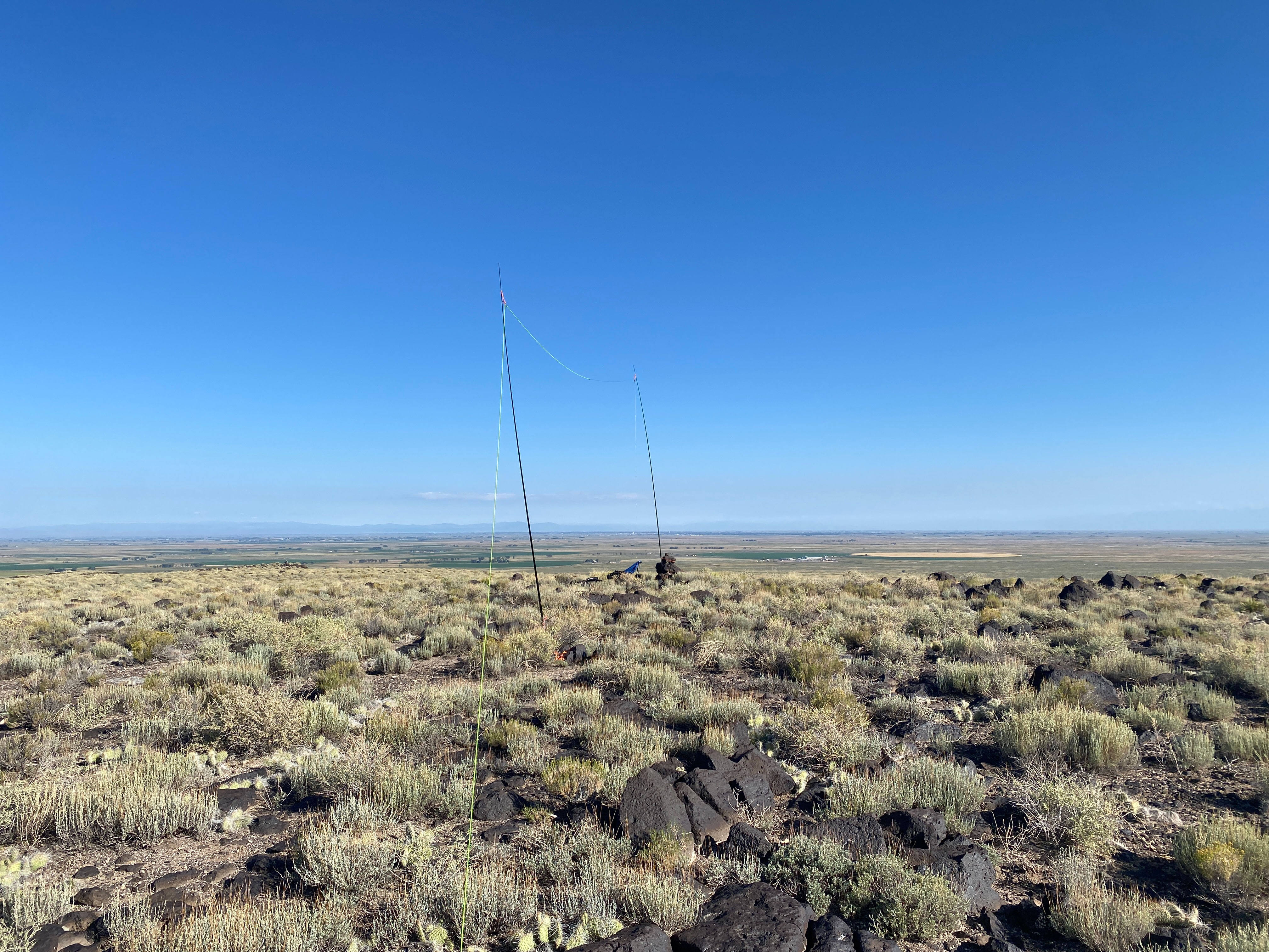
The top is a huge mesa the supports a gigantic activation zone. I found a cairn and set up my station happily anticipating activating my 14th first time activation.
Radio conditions were good, but I just missed Gary W0MNA and Martha W0ERI on a summit-to-summit in Oklahoma when their battery died! They were a solid 54 before they dissappeared.


Leave a reply to Carol Cancel reply