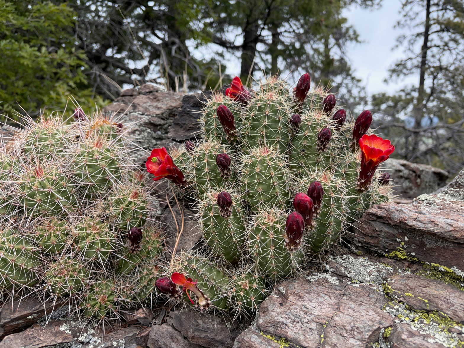
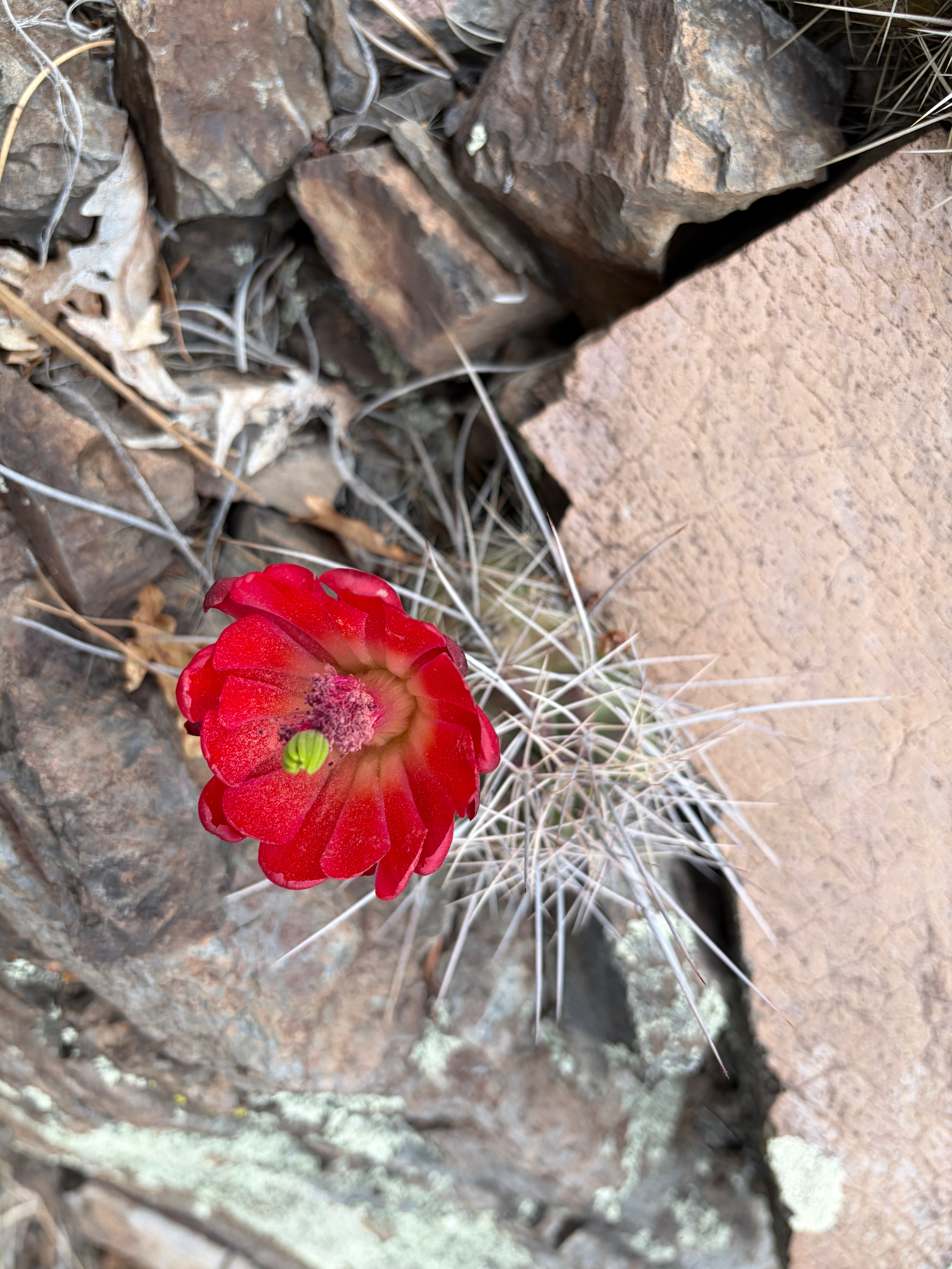
Scarlett Hedgehog just starting to bloom in a rock garden full of this glorious cacti.
25 APRIL 2026 W7A/AE-041

| Elevation: | 7,808′ |
| Route: | Cross country |
| Hike Distance: | 1.1 mile round trip |
| Elevation Gain: | 650′ |
| Navigation: | A bit tricky on the descent |
| Steepness: | Gentle to moderate |
| Vehicle: | Passenger car* |
| Road: | Dirt road |
| Cell Coverage: | Excellent Verizon |
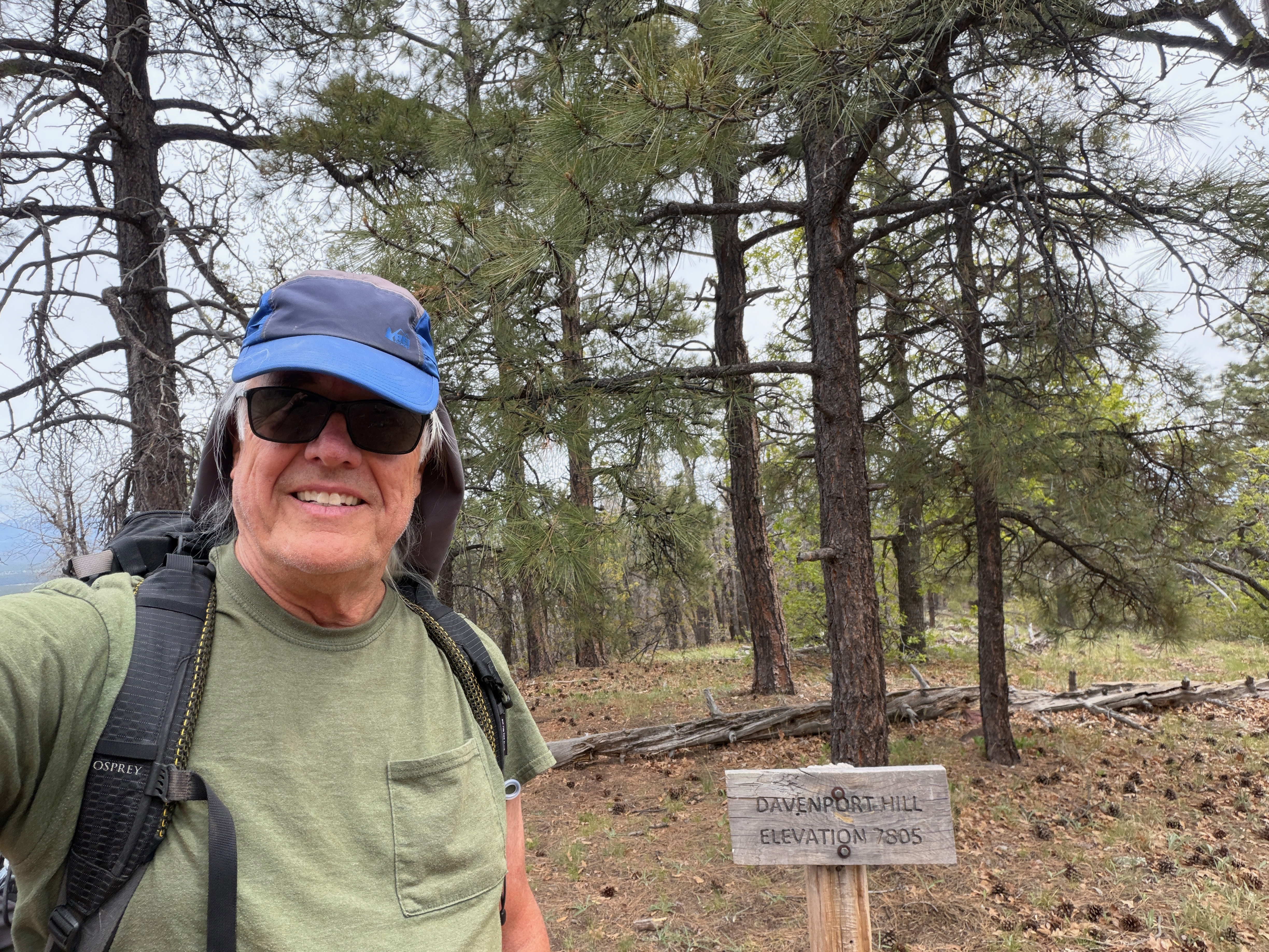
Some summits seem so mundane on paper and turn out to be an unexpected delight. I was bringing a load of stuff from our former home in California to our temporary digs in Nambé, New Mexico and I wasn’t sure I even had enough wherewith all to activate a summit on this trip. I only had one night booked in Flagstaff. But the Coconino Plateau is so inviting with her horde of easy ten pointers that I looked at two that I had never done, yet I had worked on my radio. Hochderffer Hills and Davenport Hill were two such unique/complete combinations.
I settled on the latter as I made my way into Williams, Arizona about 1 pm on my way in from Southern California. It was just off the i40 and seemed to be pretty easy.
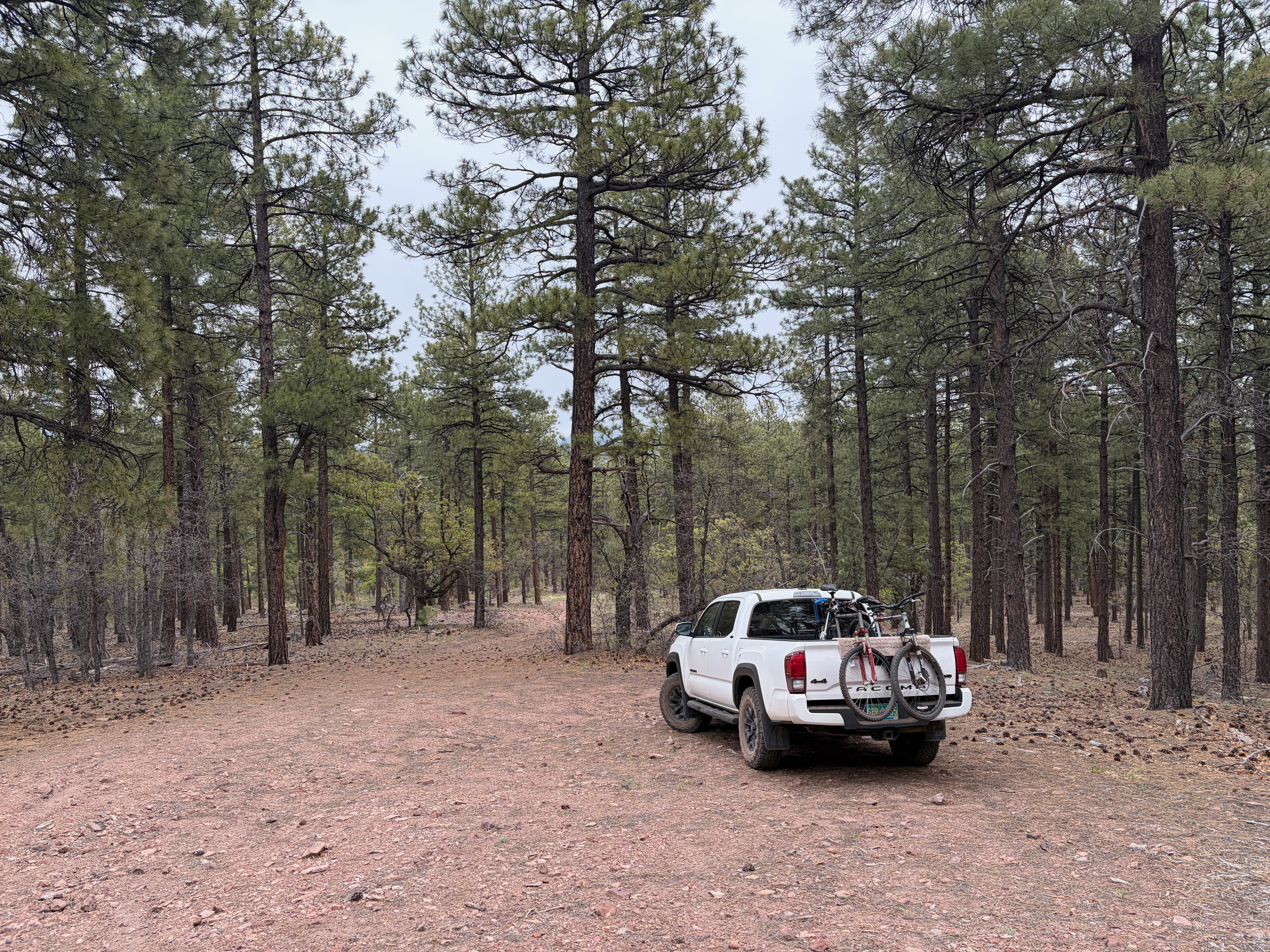
I took the Garland Prairie Exit off of I40 south to the so-called Great Western Trail (forest service road 141). I found an unmarked road 1.5 miles from the start of FS141 off to the right.
Here is the unmarked road I took. At the first junction I took the right that was marked “2109A.” There was a nice parking area at about the 7,100’ level.
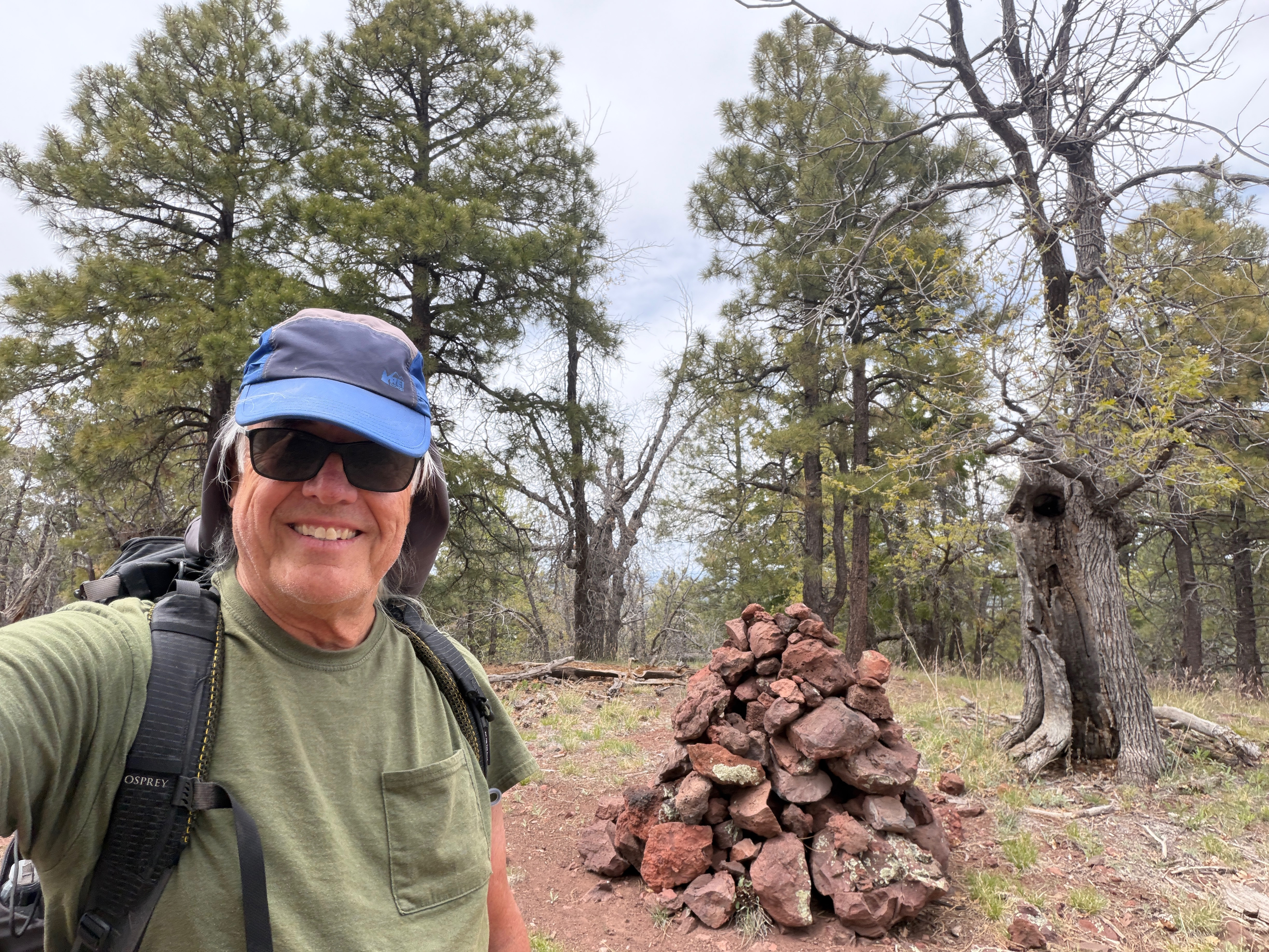
The hike up is straightforward – just go up. But… make careful note of landmarks for the return trip. On this forested summit it would be easy to miss your vehicle on the way back. One surprising landmark on the way up was an exposed rocky section that provided a wondrous garden of many Echinocereus coccineus or Scarlett Hedgehog cacti.
On the descent I had quite the thrill when I heard the grunting of some good sized mammal. Looking around, I suddenly saw three Javalinas or wild peccaries dash from the underbrush. It was odd to see such ungainly animals move with such speed. I suspect they have been hunted and want nothing to do with humans. Regrettably they were gone before I could pull out my camera.
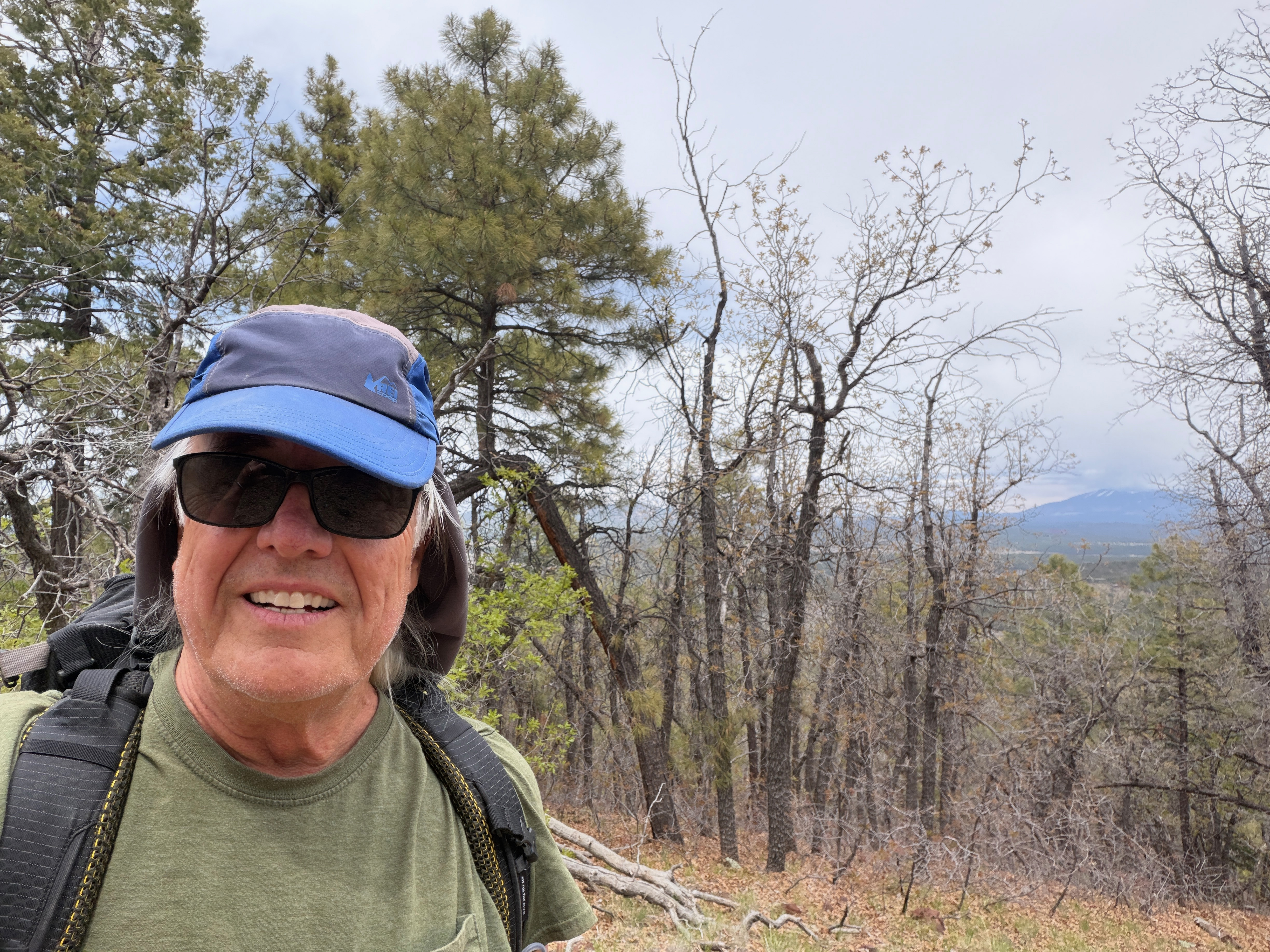
It was cold and windy on the summit but there is a large area to set up and I found a comfortable place that was reasonably well wind-sheltered. A bit of a view out to the east to Humphries on this otherwise forested summit. Rain spattered my battered old KX2 but never got serious. I managed two s2s contacts with Darryl WW7D and Ron K6CPR before my hands got too cold to operate.


Leave a reply to Carol Cancel reply