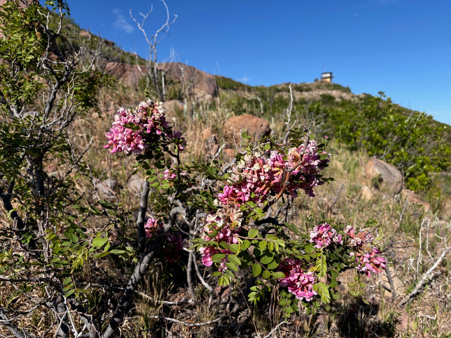
New Mexico Locust (Robinia neomexicana) on the way up to the fire lookout tower in the background..
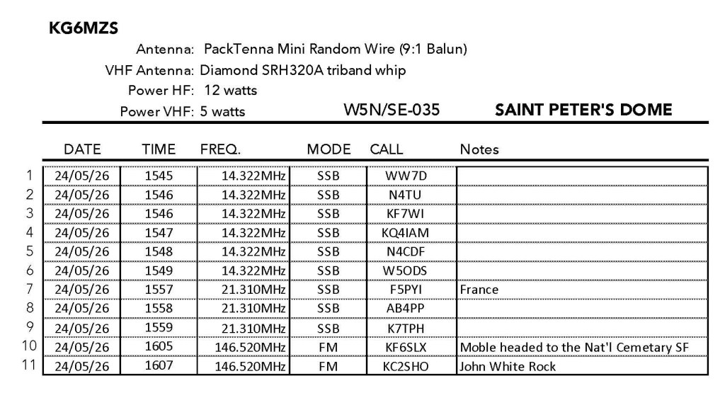
24 MAY 2026 W5N/SE-035

| Elevation: | 8,465′ |
| Route: | Fire road |
| Hike Distance: | 2 miles round trip |
| Elevation Gain: | 375′ |
| Navigation: | Easy* |
| Steepness: | Gentle |
| Vehicle: | High clearance suggested |
| Road: | Dirt road |
| Cell Coverage: | Excellent Verizon |
I had a free day on the coming Memorial Day weekend and looked through the possible unique summits I might try. The forecast was for dry weather, but the previous day had seen a thundershower move through the Santa Fe area despite a dry forecast, so keeping that in mind, I headed out to the Valles Caldera and Forest Service Road 289.
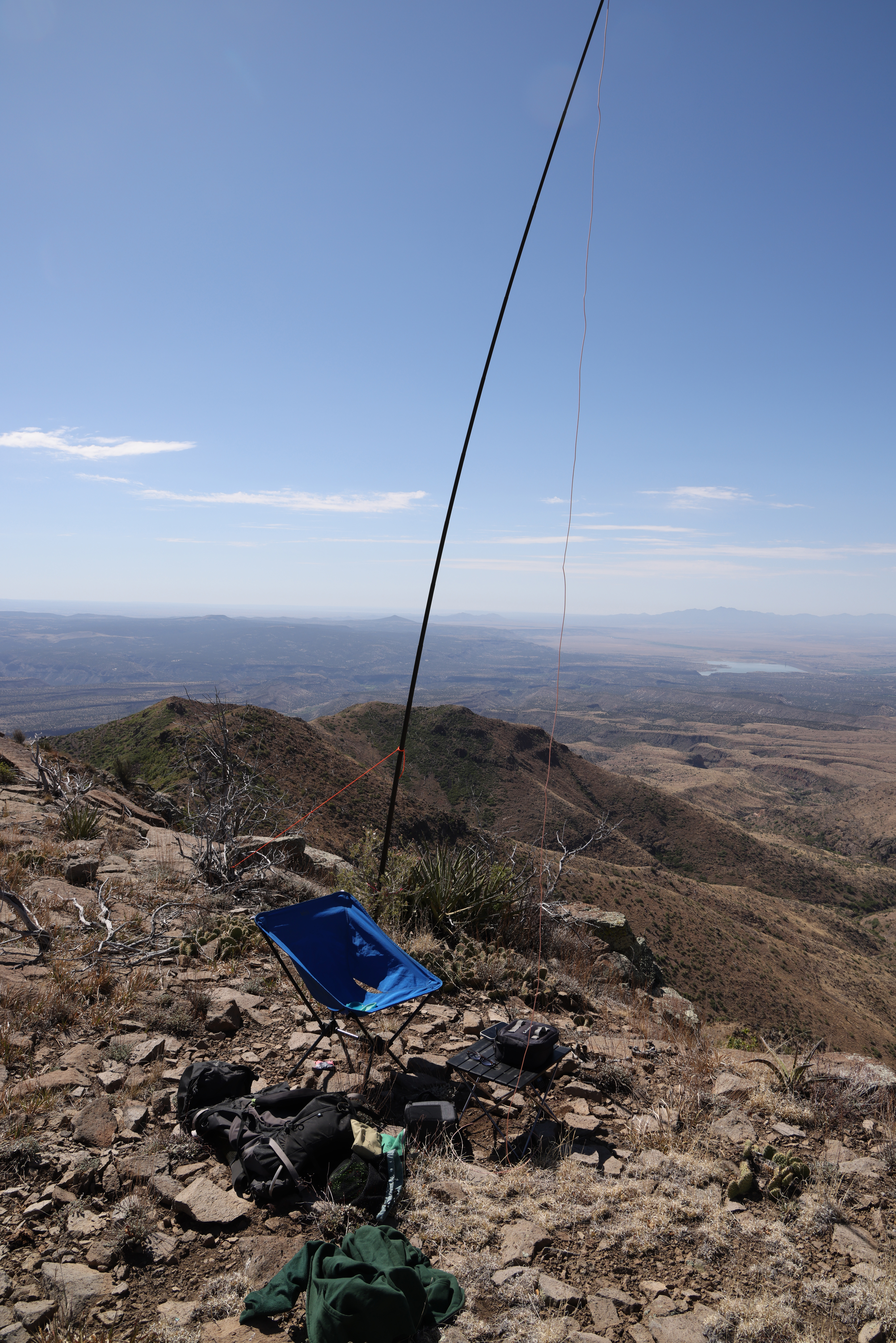
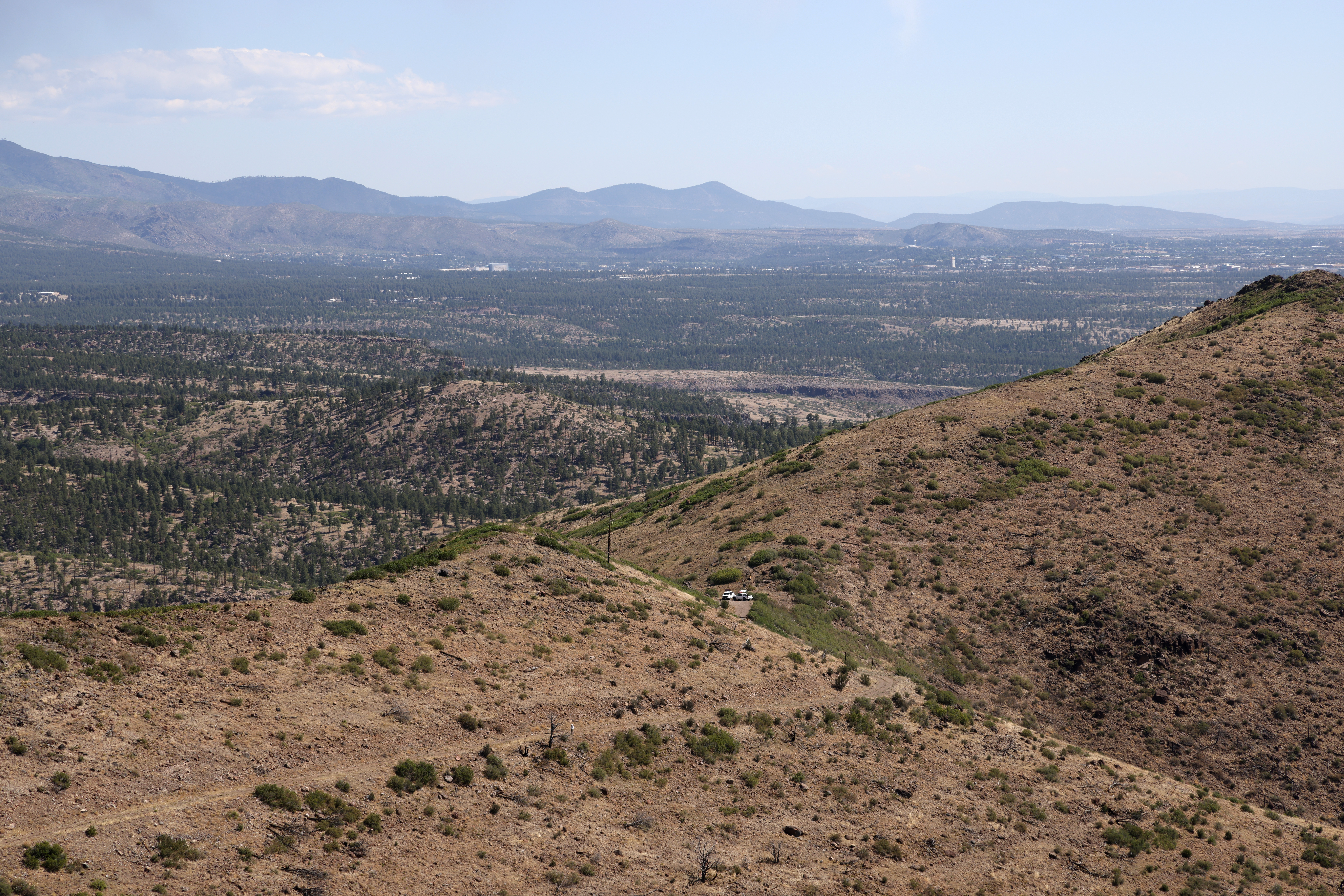
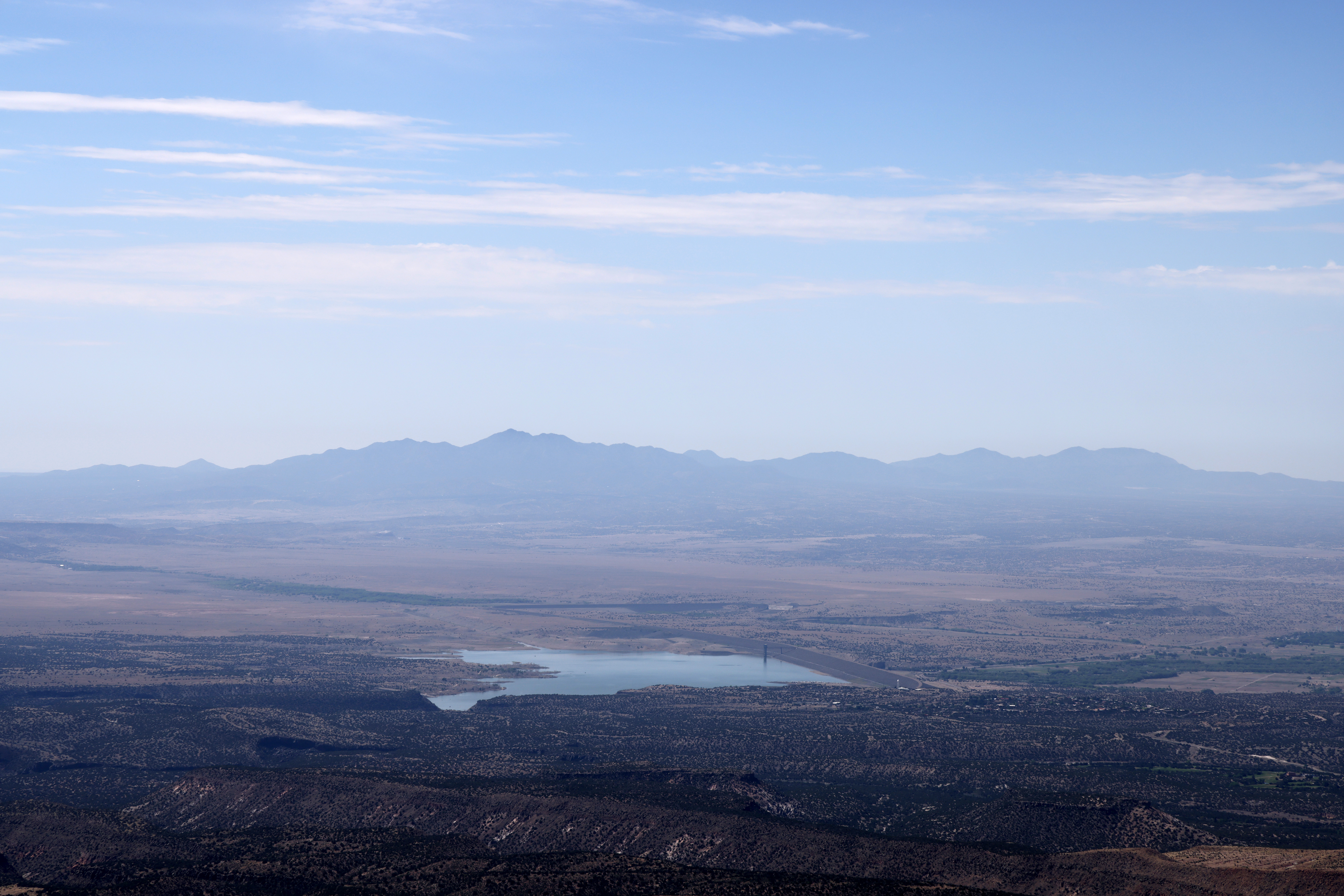
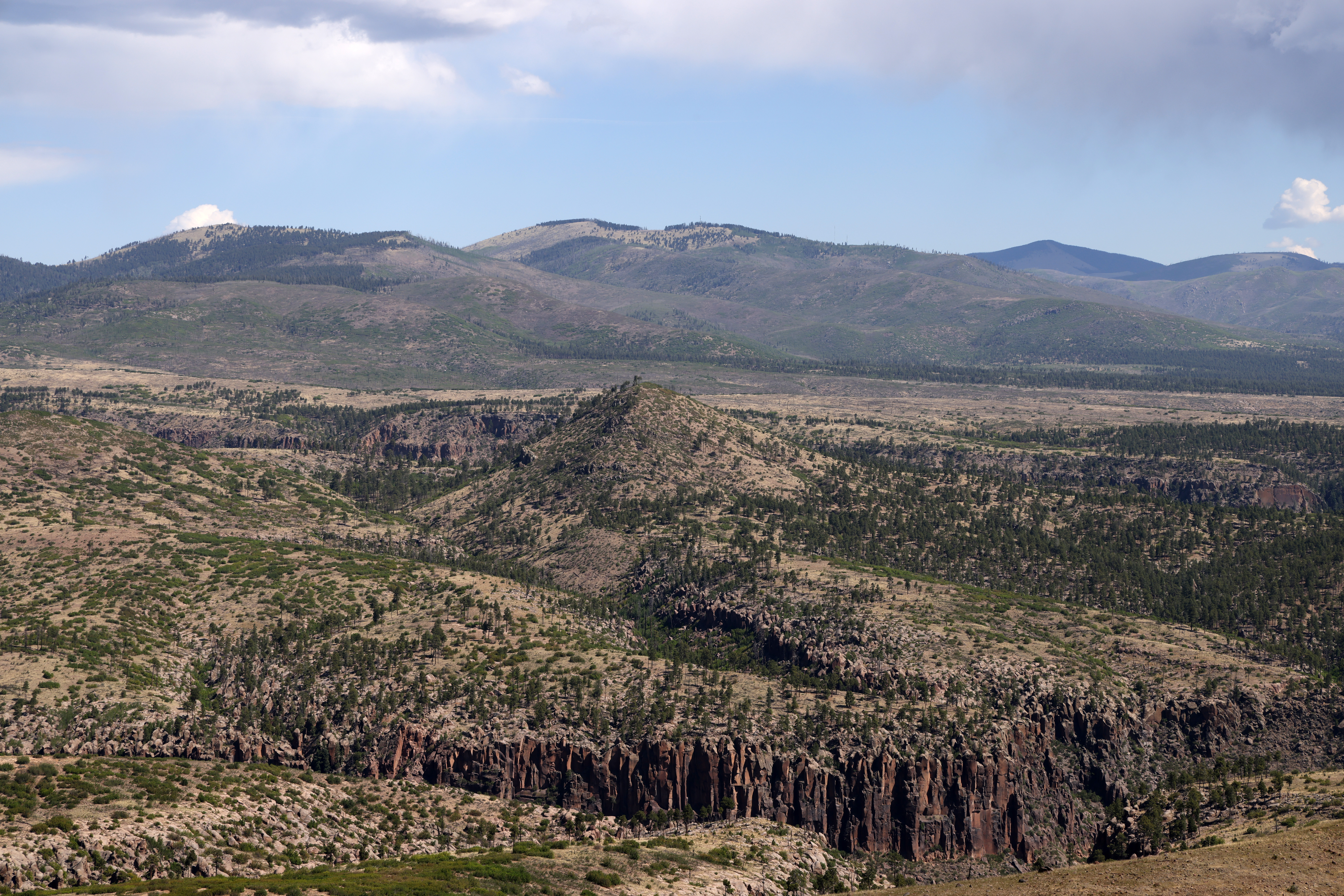
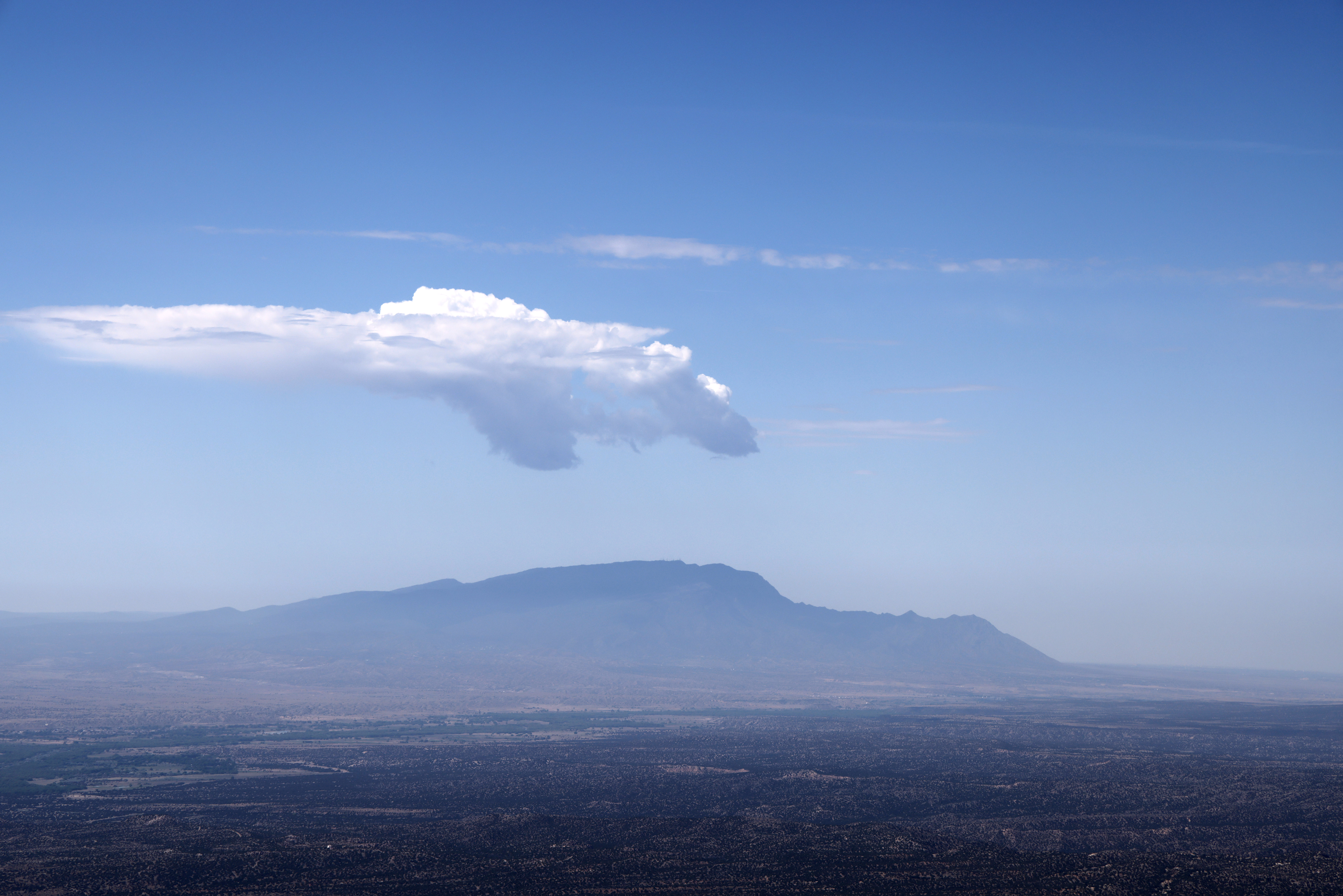
The hike is pretty easy from the locked gate. I’d had a bad cold the previous week and this was a perfect way to ease back on to the trail. The views are expansive from the summit with Cochiti Reservoir and Sandia Crest to the south with the big summits of the Valles Caldera along the north and the Santa Fe Sangre de Christo to the east. The area burned and the coniferous forest doesn’t seem to be regenerating very fast, if at all.
I cut the activation short because the cumulus clouds started accumulating and I didn’t want to drive back on wet roads. I’d seen some evidence of axle-deep ruts and didn’t want to go there. It poured briefly as I descended down Highway 502 bearing out my good sense.
 KG6MZS
Leave a comment