
Looking east toward Mount San Gorgonio and Mount San Jacinto.
5 NOVEMBER 2022 W6/CT-026

| Elevation: | 5,495′ |
| Route: | 4×4 route |
| Hike Distance: | 2 miles round trip |
| Elevation Gain: | 500′ |
| Navigation: | Easy |
| Steepness: | Gentle |
| Vehicle: | SUV High clearance recommended |
| Road: | Forest Service dirt |
| Cell Coverage: | Good (Verizon), APRS Excellent |
Modjeska Peak is named for the famous Polish actress Helena Modjeska who immigrated to the United States and lived in Silverado Canyon below the peak. I last ascended Modjeska Peak in the waning winter days of 1997. In my log I noted that there was a drunk guy on the summit that made the trip rather disagreeable. I suppose Santiago and Modjeska Peaks – together comprise what is popularly called “Saddleback Mountain” – are must-dos for any southern California SOTA activator, so I very grudgingly give them both one star even though I am unlikely to return to either summit.
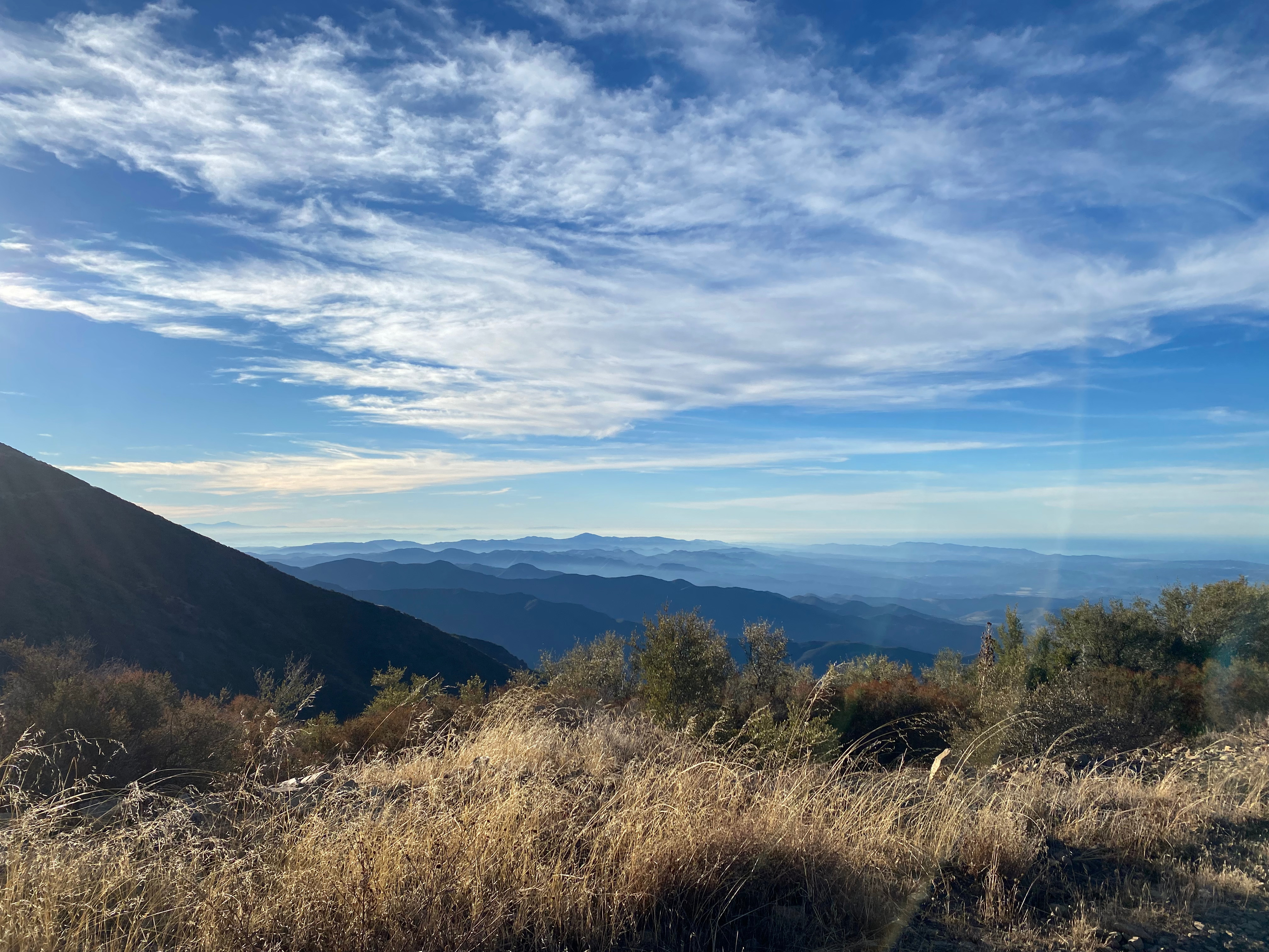
This trip wasn’t much more agreeable than my last visit last century. For one thing, the foothills below have become wildly developed in a maze of bedroom communities and cul de sacs. The two freeways in the area are both toll roads and, not knowing the toll protocol, I ventured into the labyrinth of Orange County suburbs. It took me quite a while to finally get from the 5 freeway to Silverado Canyon. The mountain is very popular and a LOT of OHVs were around. The dust, noise, trash and general lack of regard for the right-of-way (uphill vehicles) made the long drive up to North Divide Road un-fun.
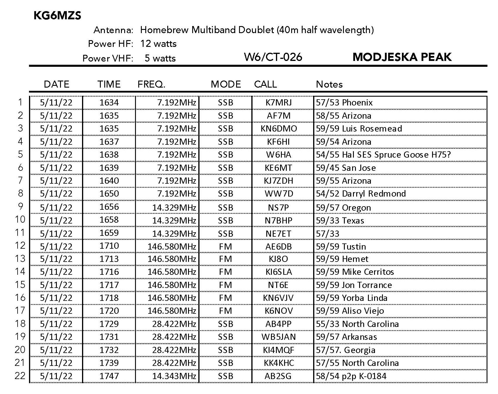
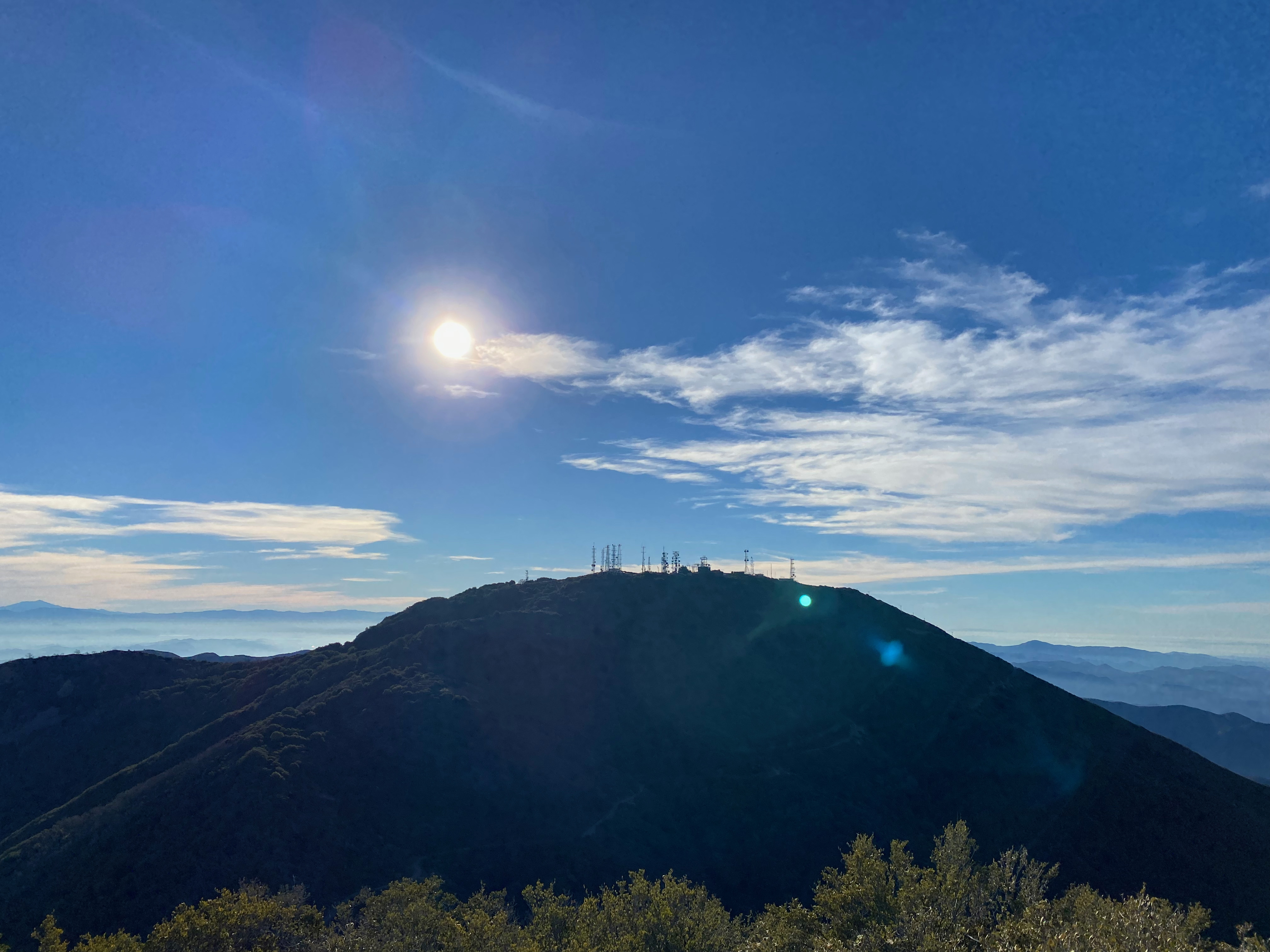
There was a lot of trash on the summit. The whole experience left a bad taste in my mouth. It is possible to 4 wheel to the actual summit but I opted to walk the mile or so from North Divide Road. The one redeeming virtue of Modjeska and Santiago is the outstanding view of the Santa Monica Mountains, The San Gabriel Mountains, The San Bernardino Mountains, San Jacinto and both Santa Catalina and San Clemente Islands.
Access at the end of Silverado Canyon is via Maple Springs. There is a gate there that is closed seasonally. Call the Trabuco ranger station of the Cleveland National Forest for the status on the gate.
The road was mostly good with one notable exception. I was glad to have the 4×4 for that, but my previous two trips up to North Divide Road in the 1990s was in a Volvo sedan. the road seems a little rougher these days due to so much use.


Leave a comment