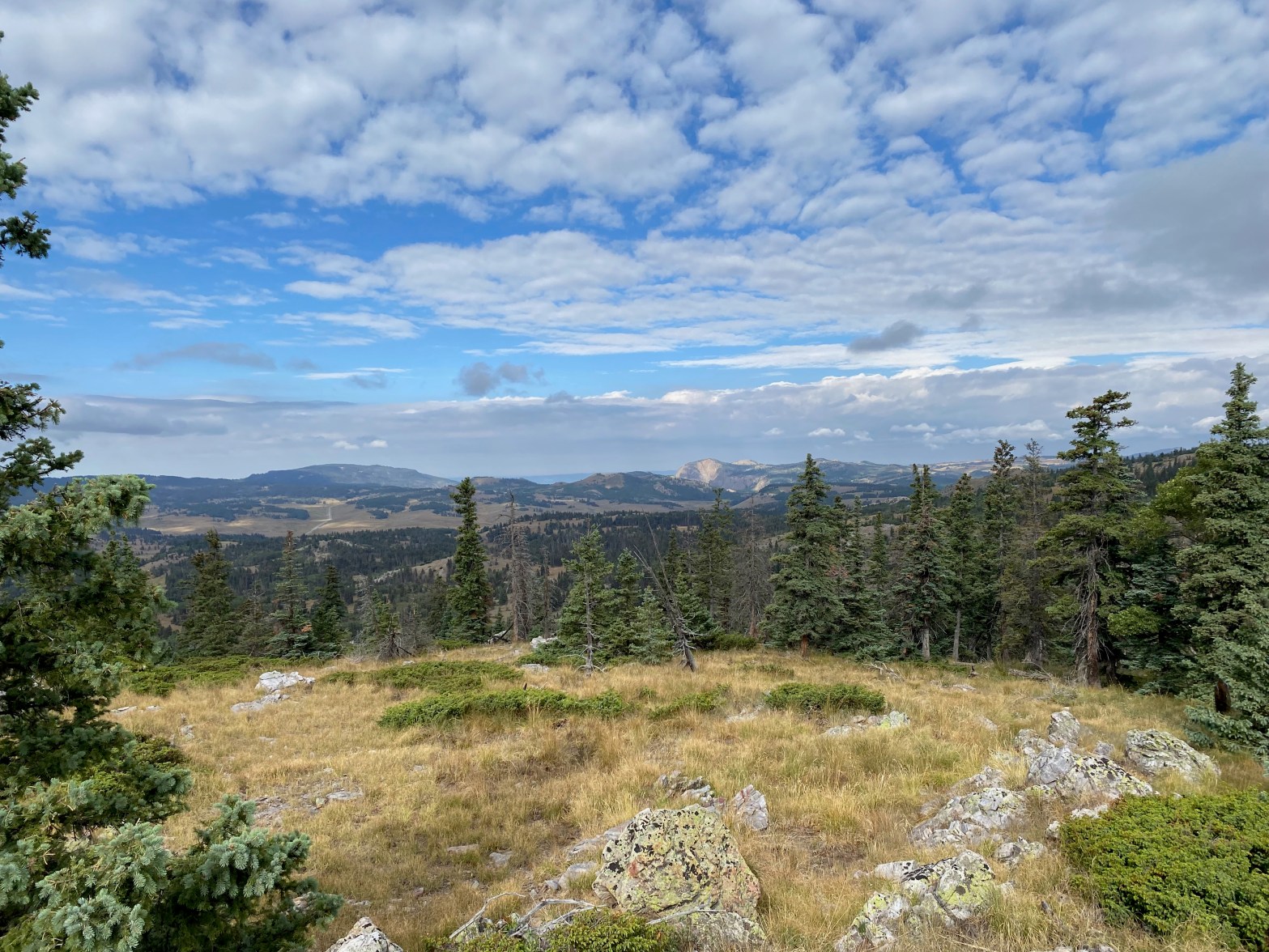
Looking west toward the Brazos Cliffs from the park-like meadows of this fine summit.
16 AUGUST 2025 W5N/OT-006

| Elevation: | 10,937′ |
| Route: | Cross country |
| Hike Distance: | 4 miles round trip |
| Elevation Gain: | 700′ |
| Navigation: | Fairly easy |
| Steepness: | Gentle |
| Vehicle: | Passenger car |
| Road: | Paved highway |
| Cell Coverage: | Spotty from Verizon |
Originally my next door neighbor and I had planned to do this trip together, but work reared its ugly head and David KK5ULI had to bail. Too bad, because this turned out to be a very enjoyable hike and activation.
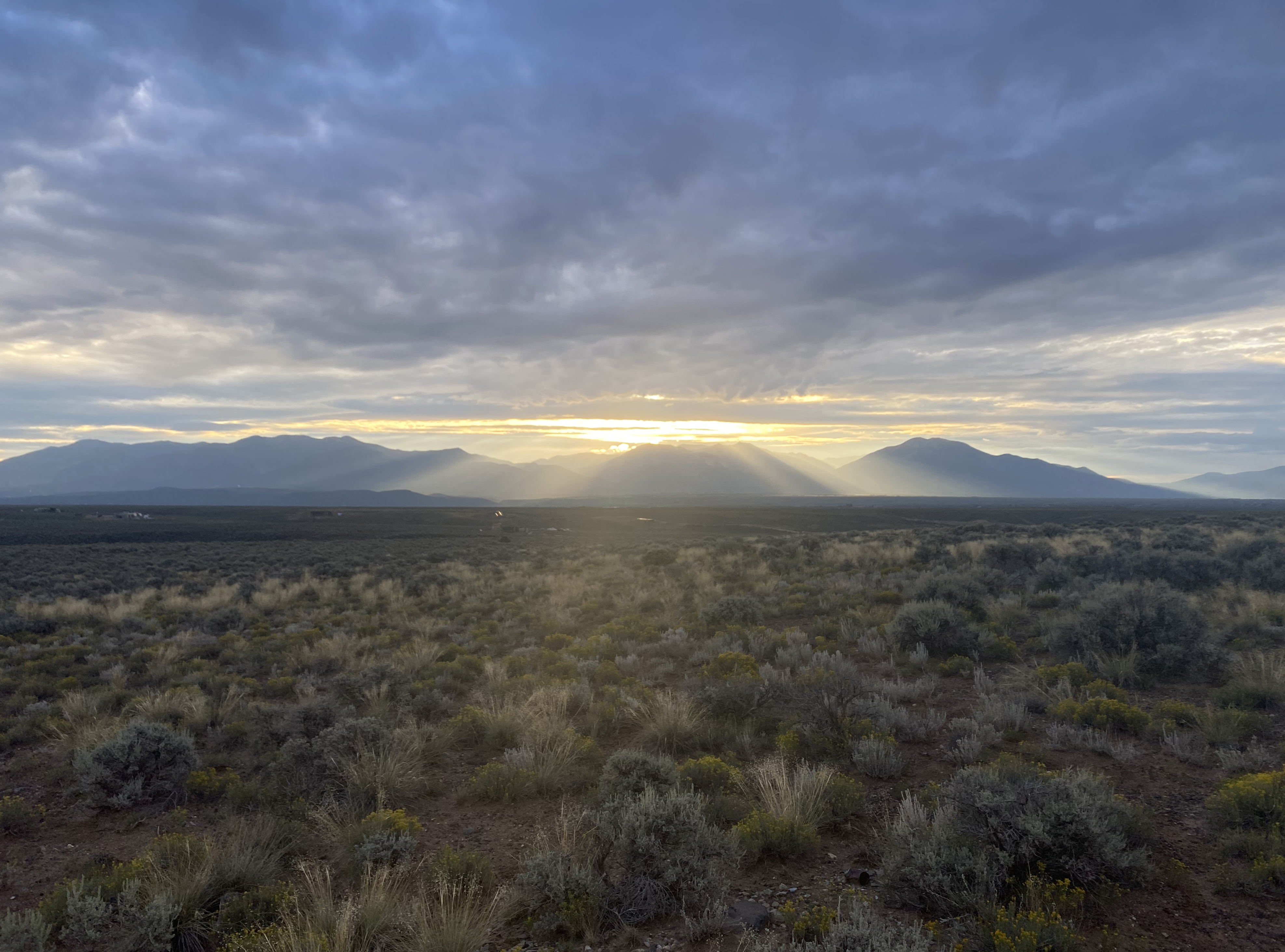
The Taos Plateau really showed off at sunrise with majestic rays spreading out from Wheeler Peak in the Sangre de Christo Mountain. I spotted a family of wild turkeys off the side of Highway 64 on the way up.
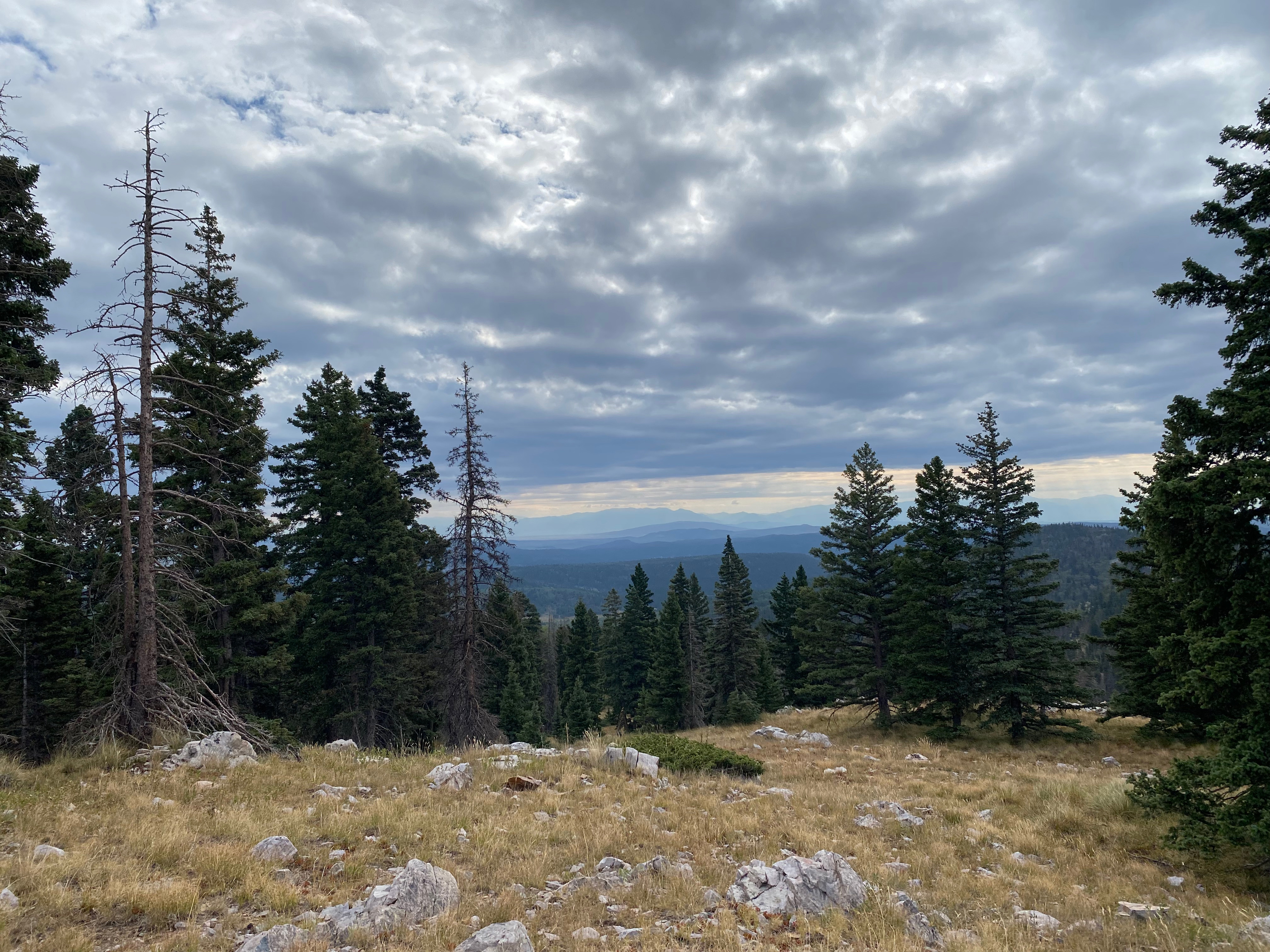
The hike starts out at about 10,000′ on the lovely Highway 64 and approches the summit across alternate bands of conifers and alpine meadows. It had rained the previous day and everything smelled wonderful
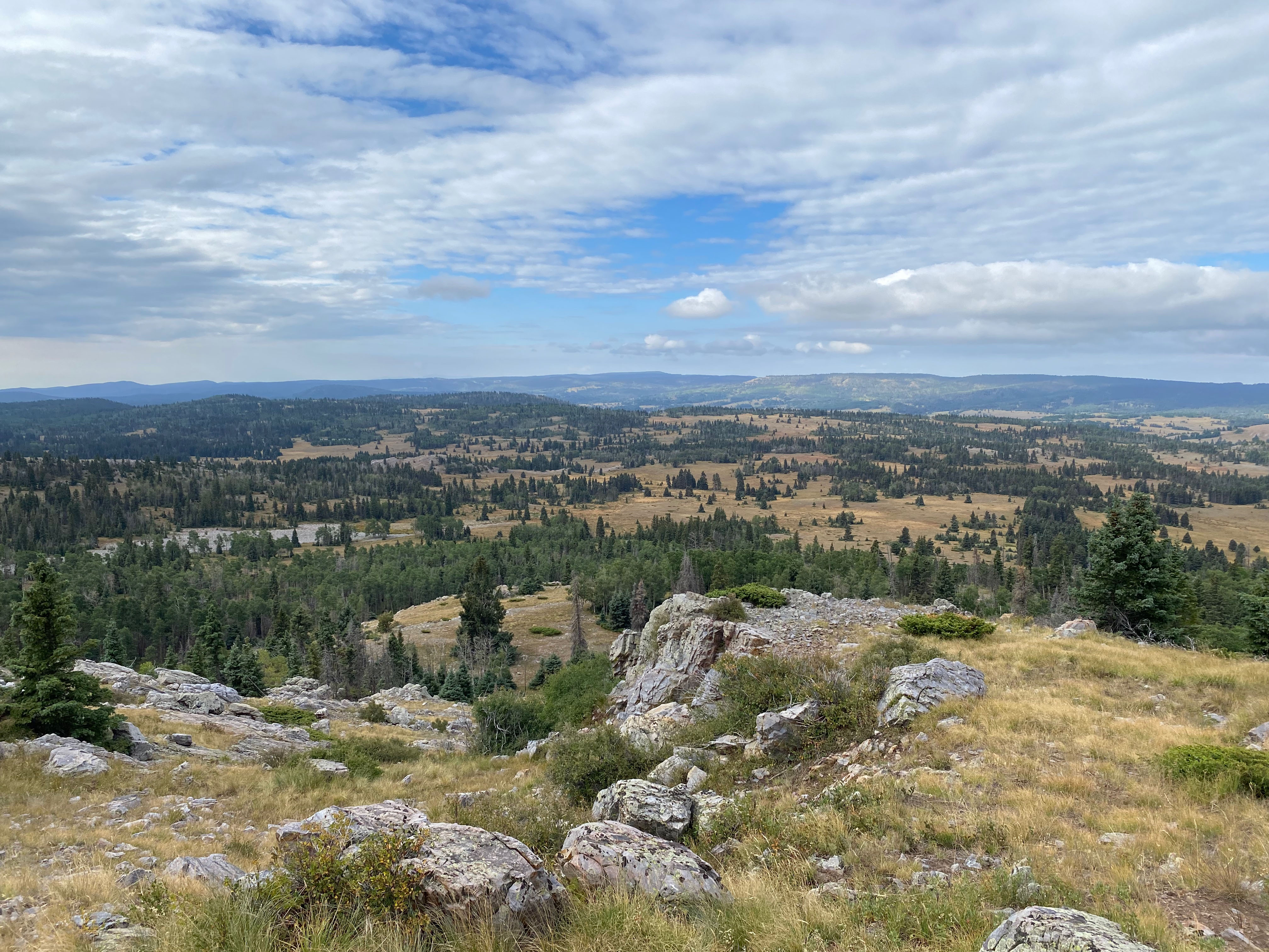
It was fairly easy to pick my route as the summit is visible for much of the hike. There are many ways to negotiate the series of benches and rock ribs
Radio conditions were much better than they had been and it was good to hear from so many of my usual chasers after taking over a month off to move to New Mexico from California.


Leave a comment