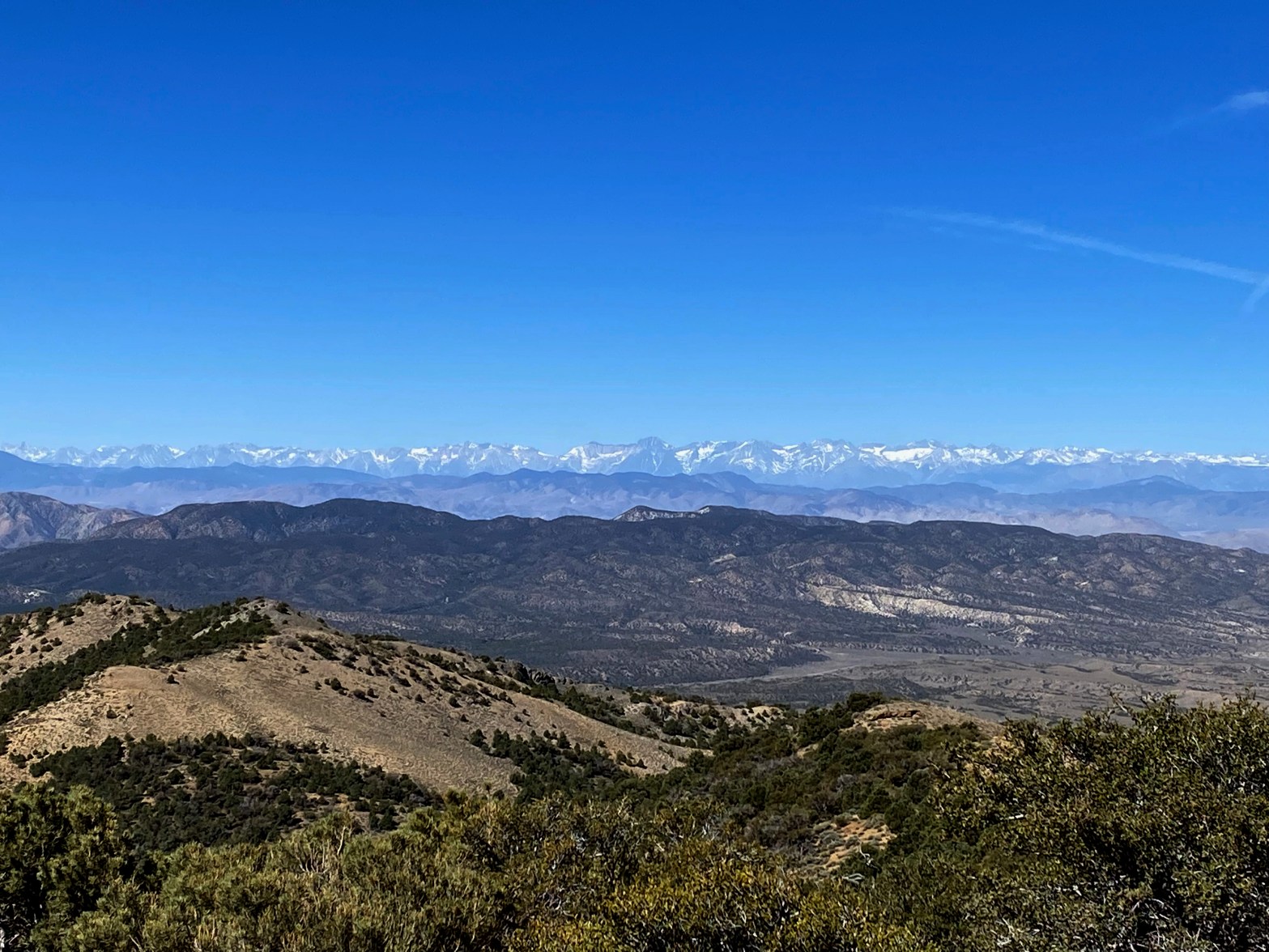
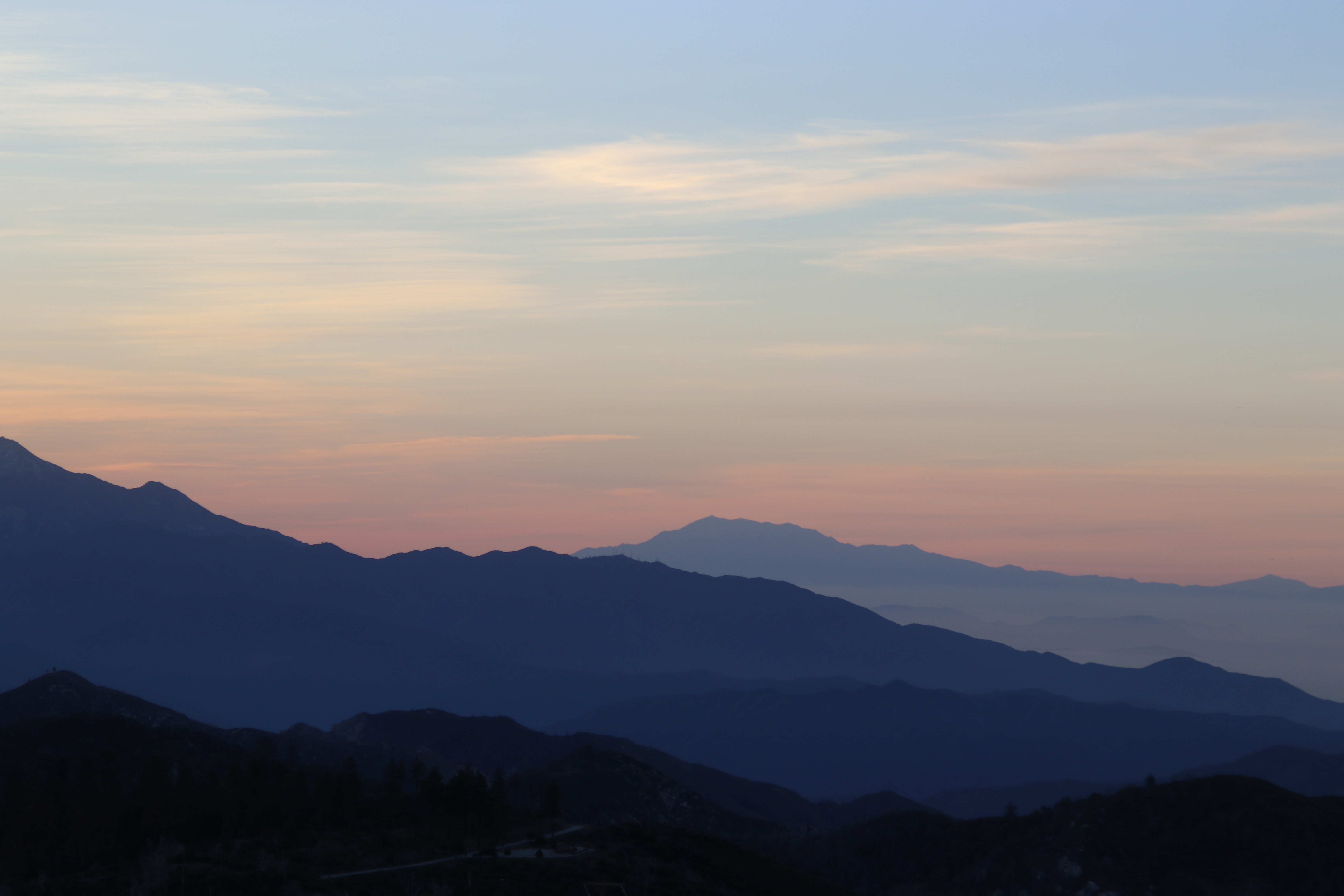
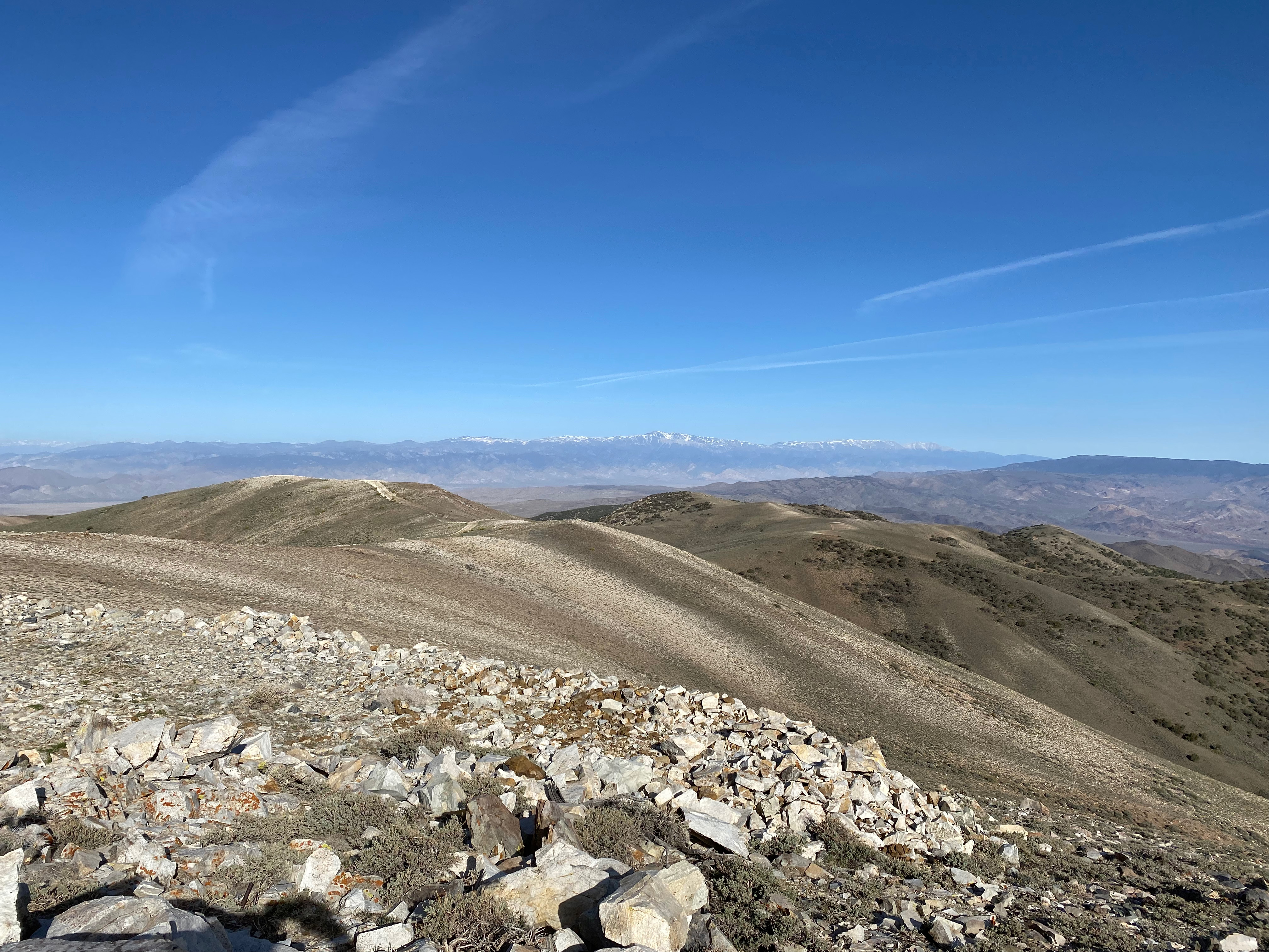
Looking north from the summit of Harvey Peak to the austere Clayton Valley.
21 MAY 2022 W7N/EM-019
I wasn’t sure what mountain I was going to try Sunday morning. Both Harvey Peak and Magruder Mountain has looked especially appealing from Palmetto Mountain. The prize when to Harvey Peak as it was closer and also the highest in the Palmetto Mountains.
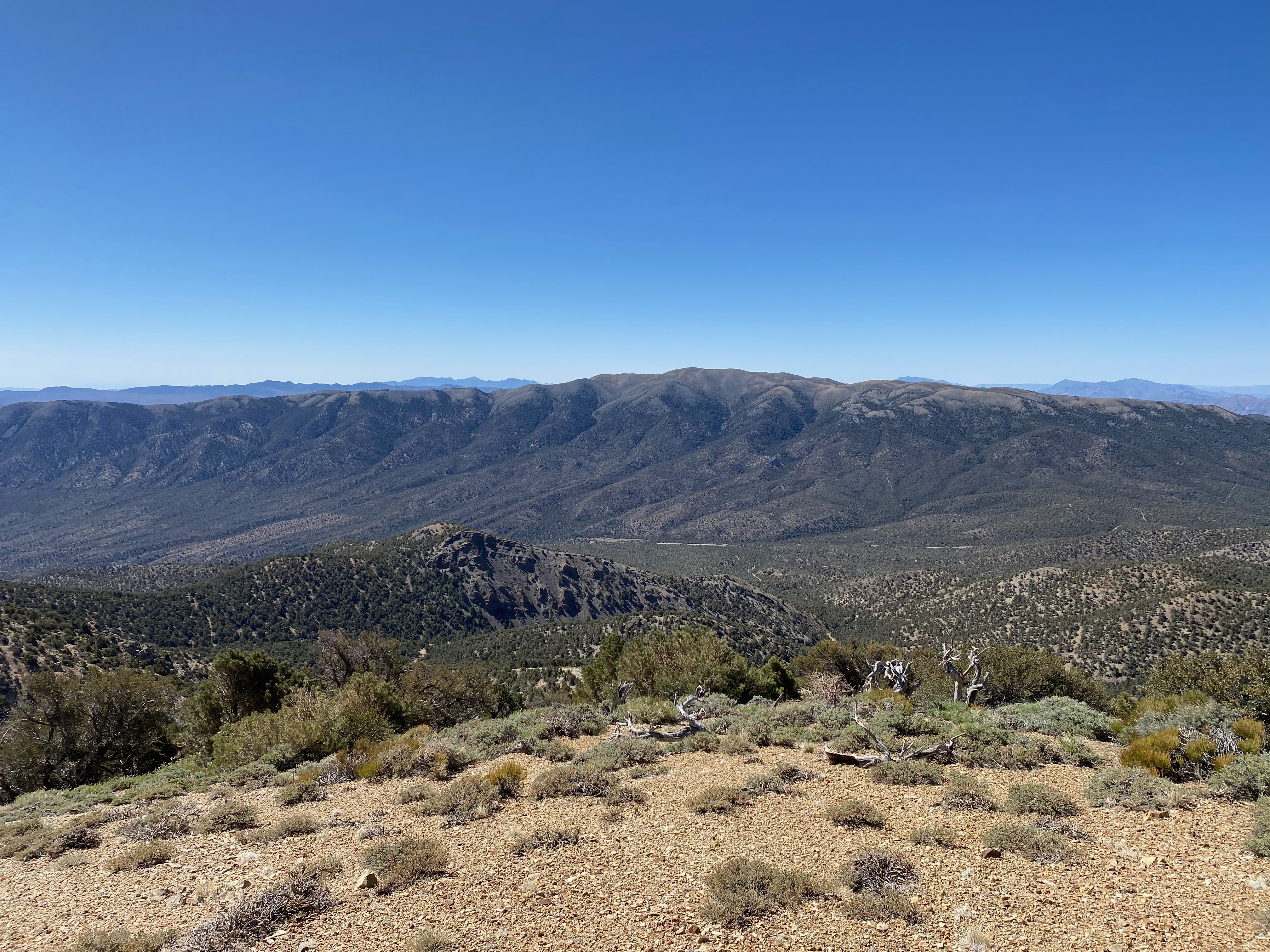
There appeared to be maze of roads that lead to the approach of Harvey. In fact, it looked like the intrepid might even drive to the summit. I wasn’t interested in that as I really wanted a hike. I found a good road that got pretty close and Whitedog and I set off. The road we took was in very good shape. Most of the roads in the area seemed to have been scraped or graded relatively recently as of this trip. I’m sure a flash flood could change all that pretty quick and such a downpour can happen in any monsoon season. The road got a bit steep in places, but nothing that a front wheel drive car with modest clearance couldn’t handle.
The hike was another extremely enjoyable and easy hike. Route finding is very easy through mostly open terrain. There is a use trail/elk/cattle path most of the way. The hike was 3/4 of a mile with 450 feet of elevation gain.
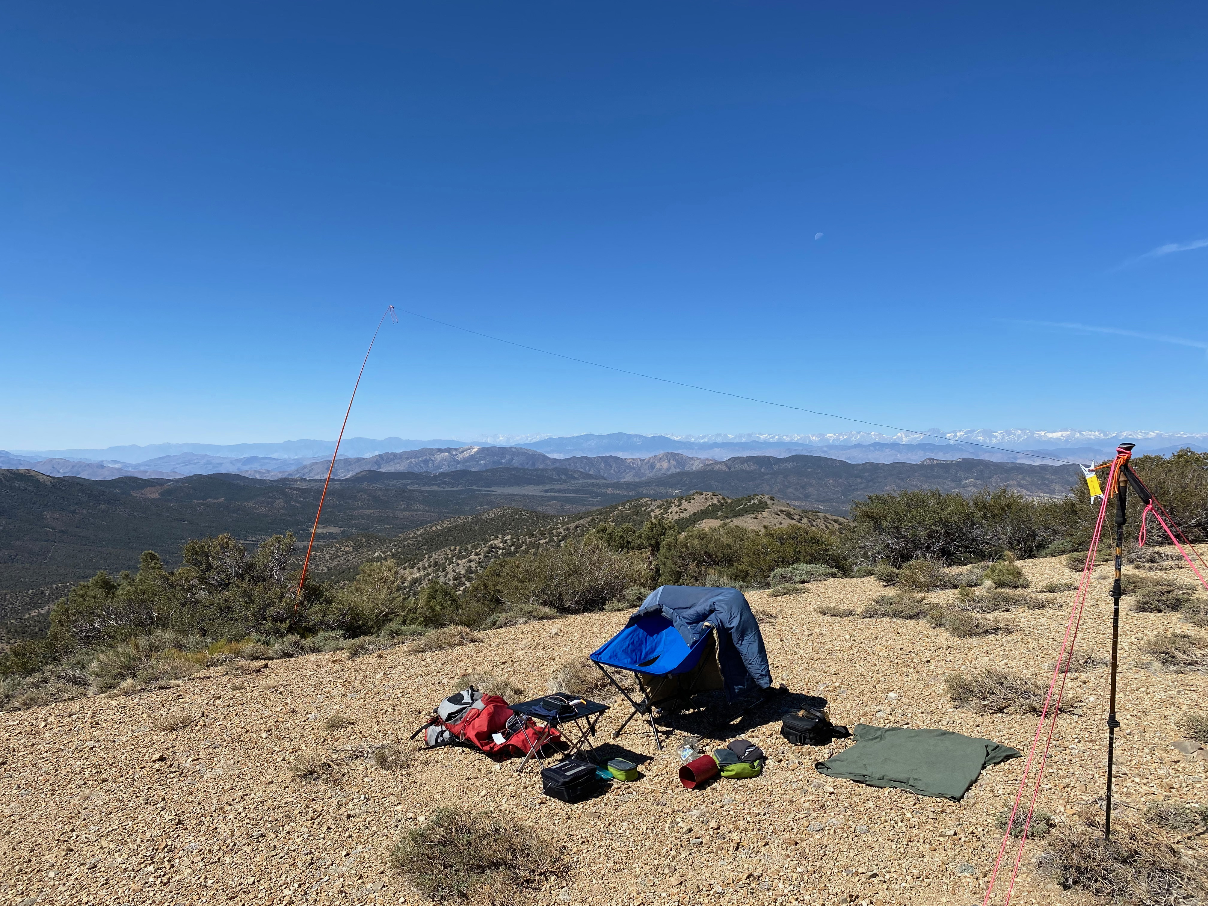
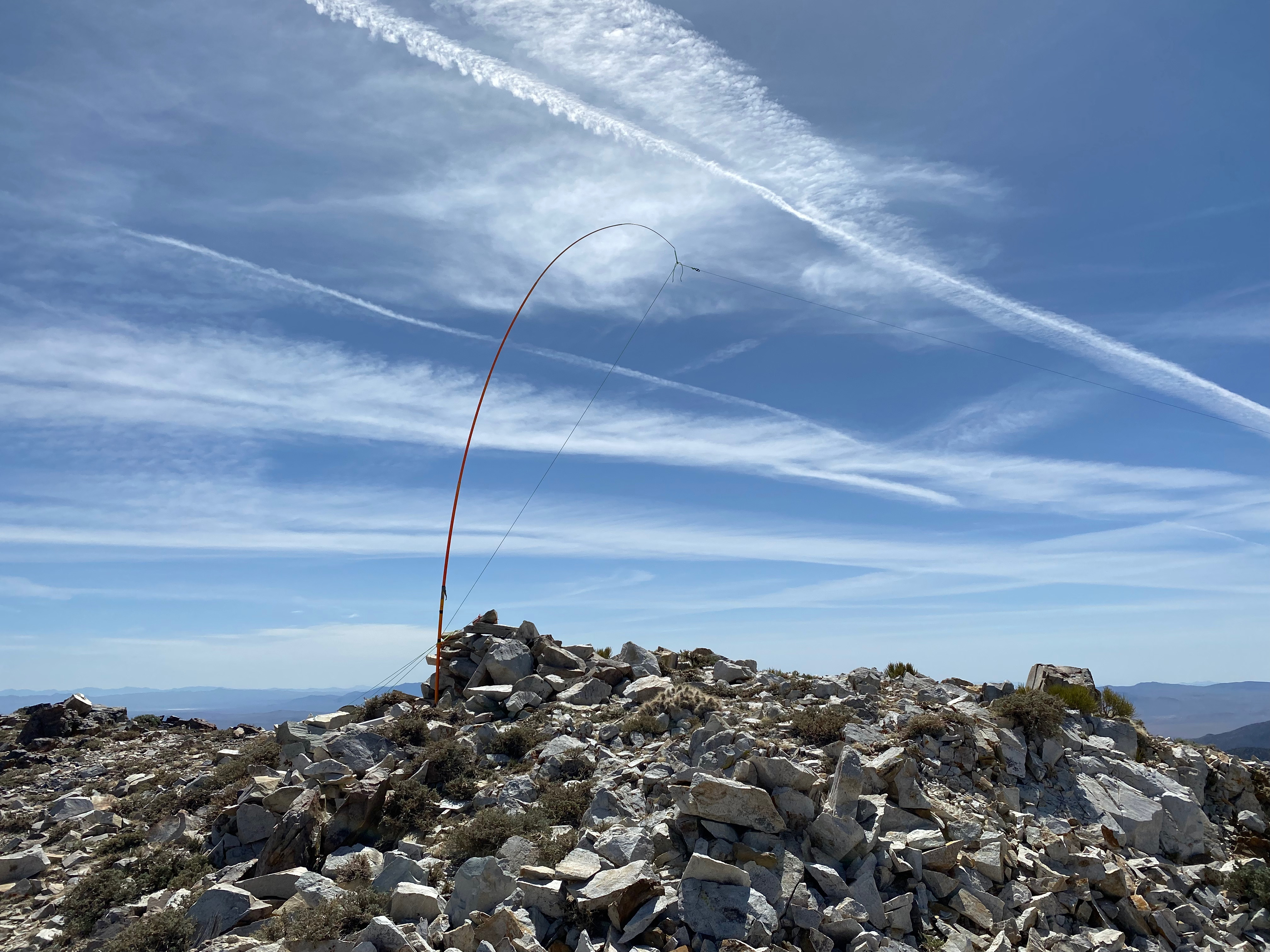
Cell coverage again was surprisingly good along with APRS coverage from Palmetto Mountain next door.
I had 19 contacts including 3 summit-to-summits. I was happy to get David in Arizona on Wing Mountain an surprised to get a station on Mount Dana in the Sierra. I also contacted some random 4×4 guys in Death Valley on 2m along with Randy KW6RZ in the town of Goldfield Nevada. 2m seems surprisingly active in the area. I’ll bet CB 11m would be as well.

Here’s the video of the entire weekend. Hopefully this expresses my love for places in the middle of nowhere:


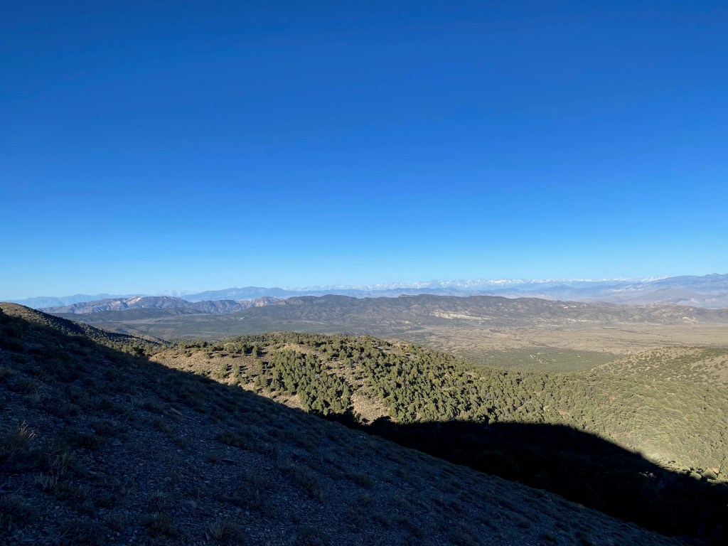
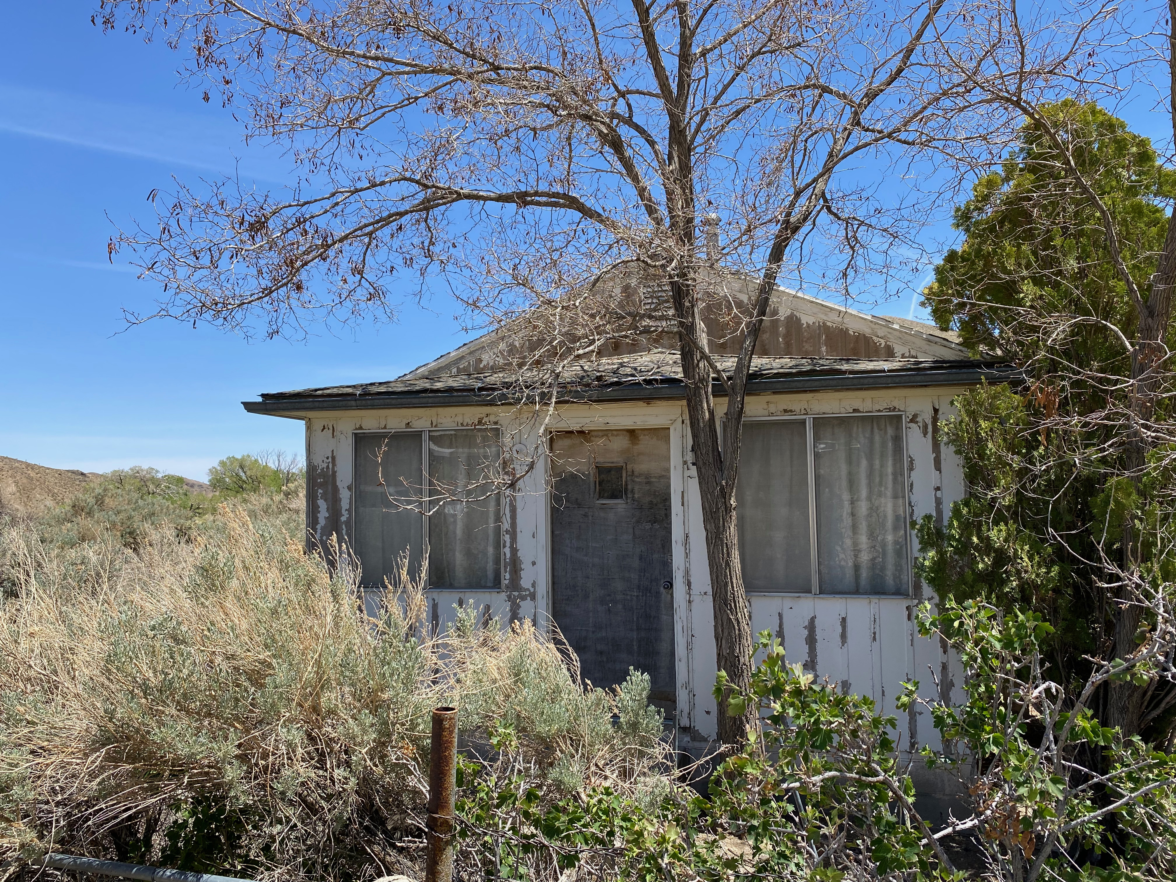
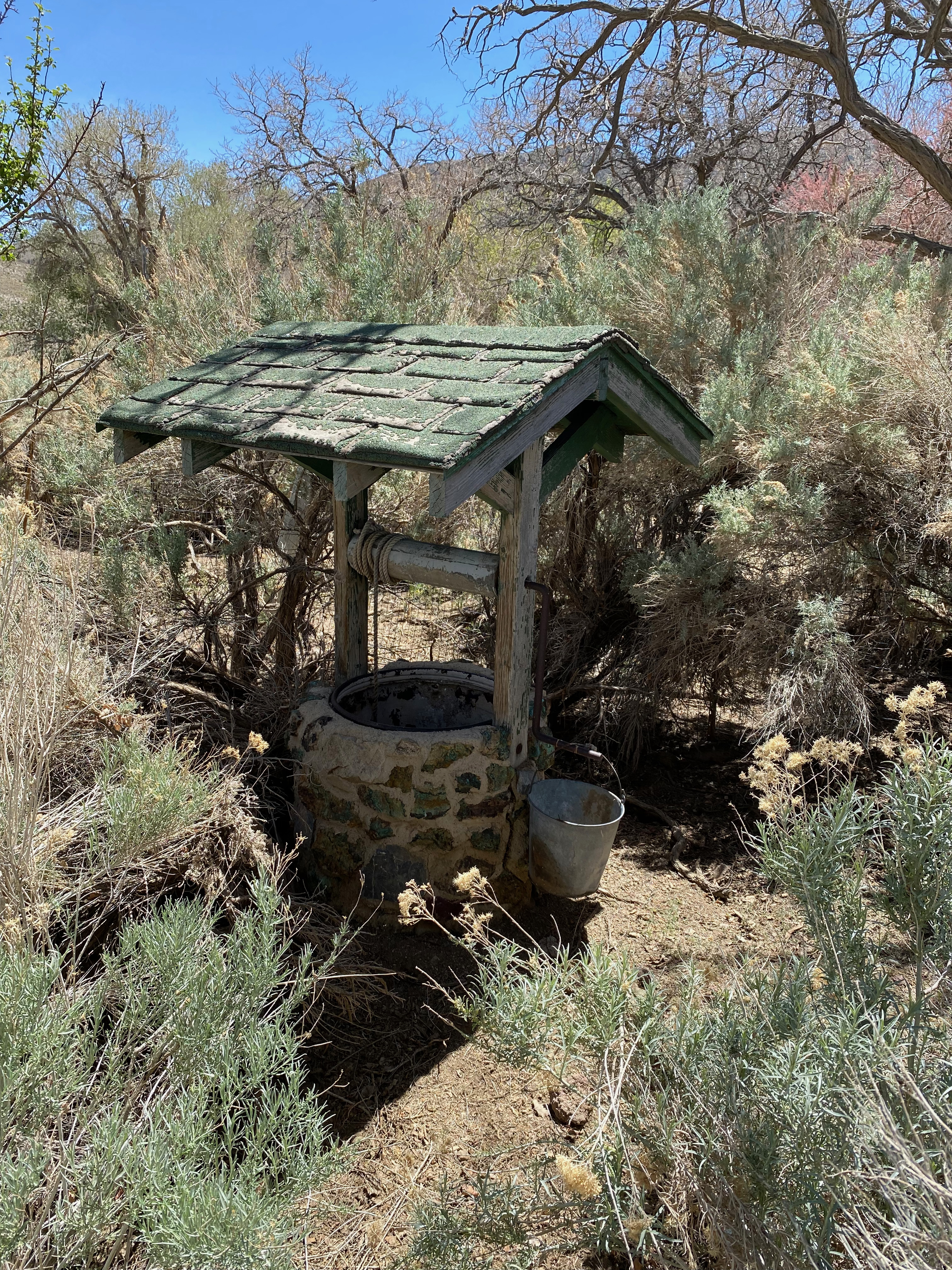
On the way back home I took a long alternate route out past the semi-ghost town of Lida, Nevada. I say “semi” because there does seem to be a prosperous native American community amidst the abandon parts of the old mining town.


After visiting Lida, I drove back through Beatty, Nevada and the ubiquitous wild burros there and through the stunning Death Valley and Panamint Valley and then through Trona and China Lake. It was a long day of driving but well worth the astounding vistas.