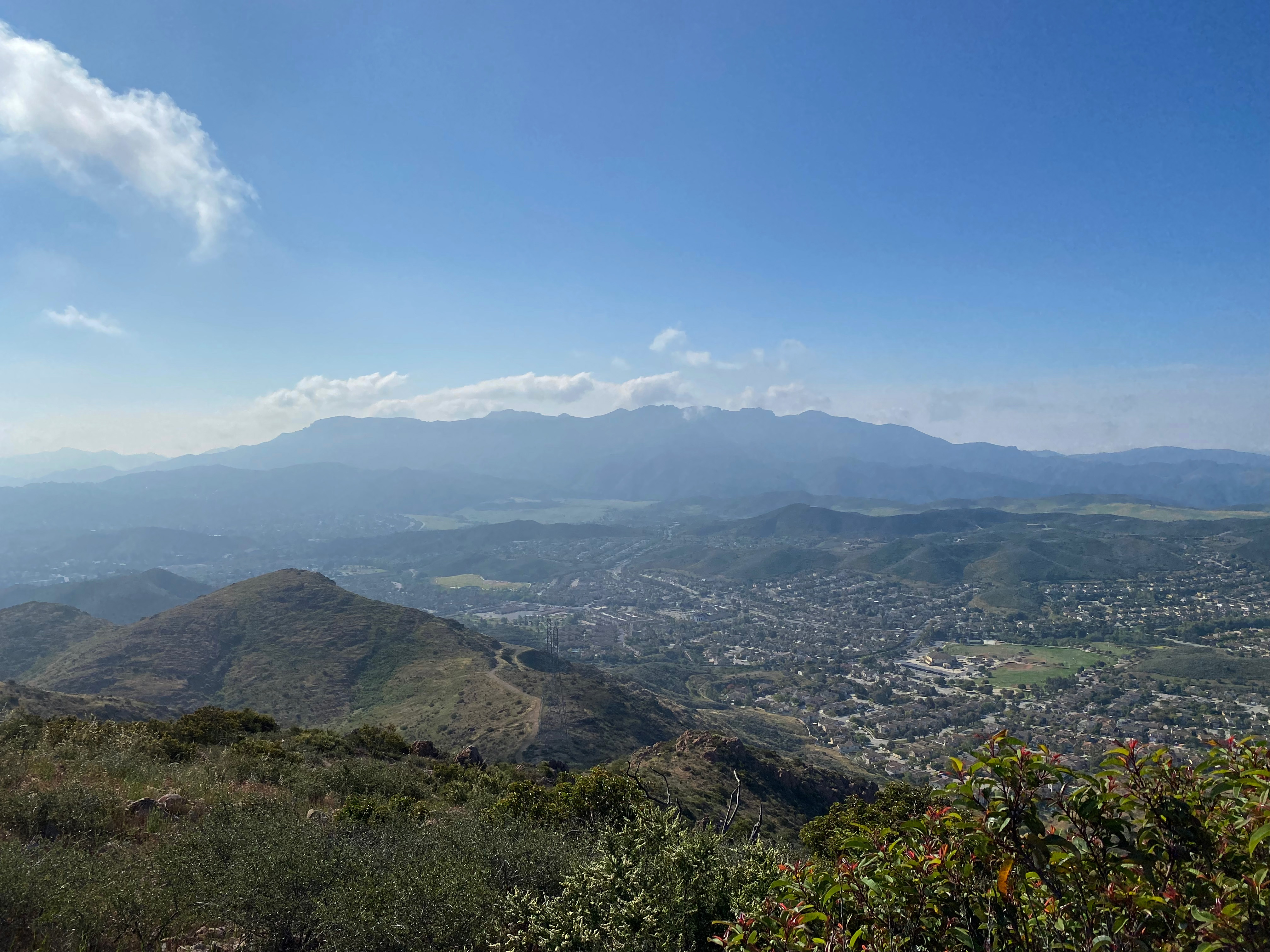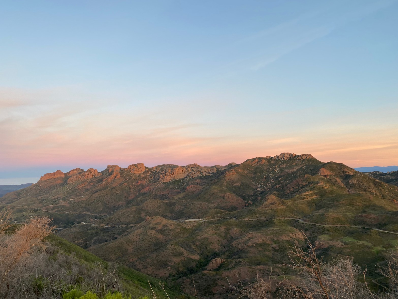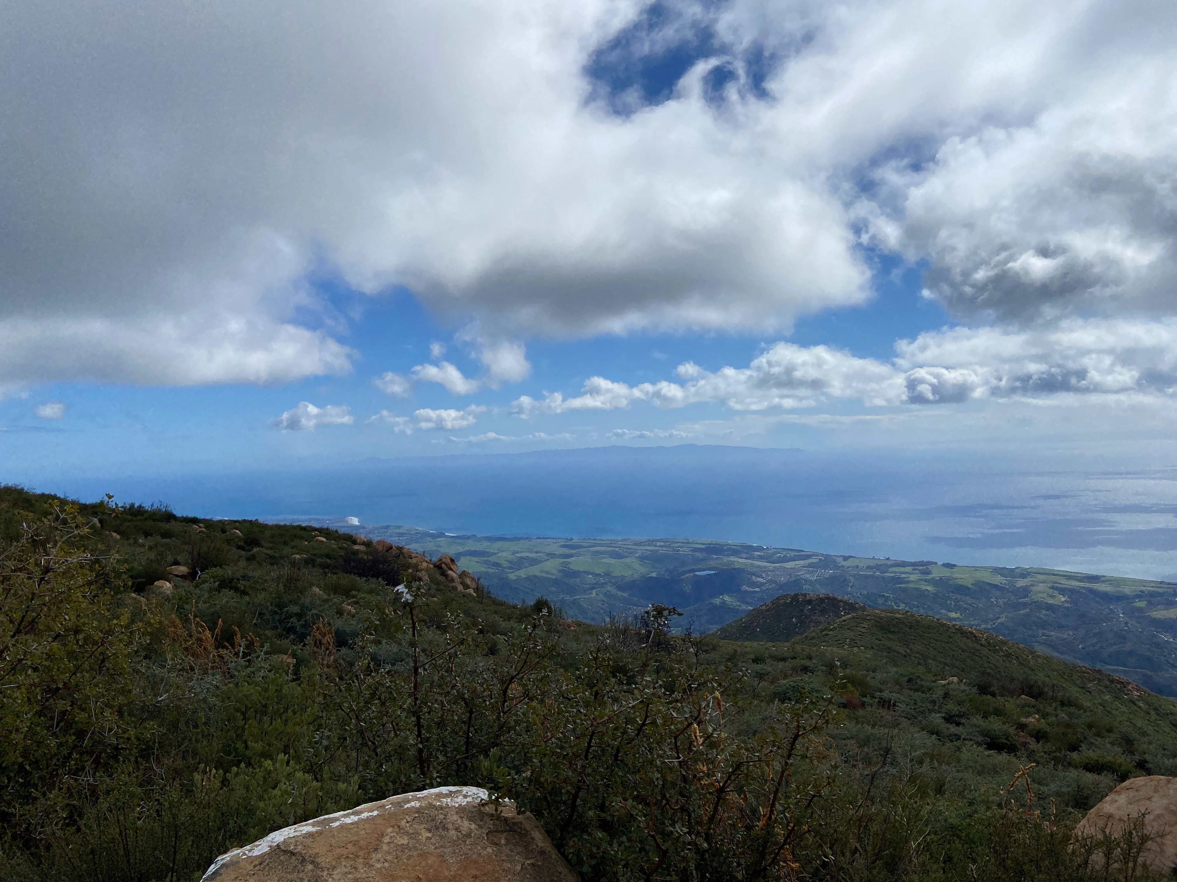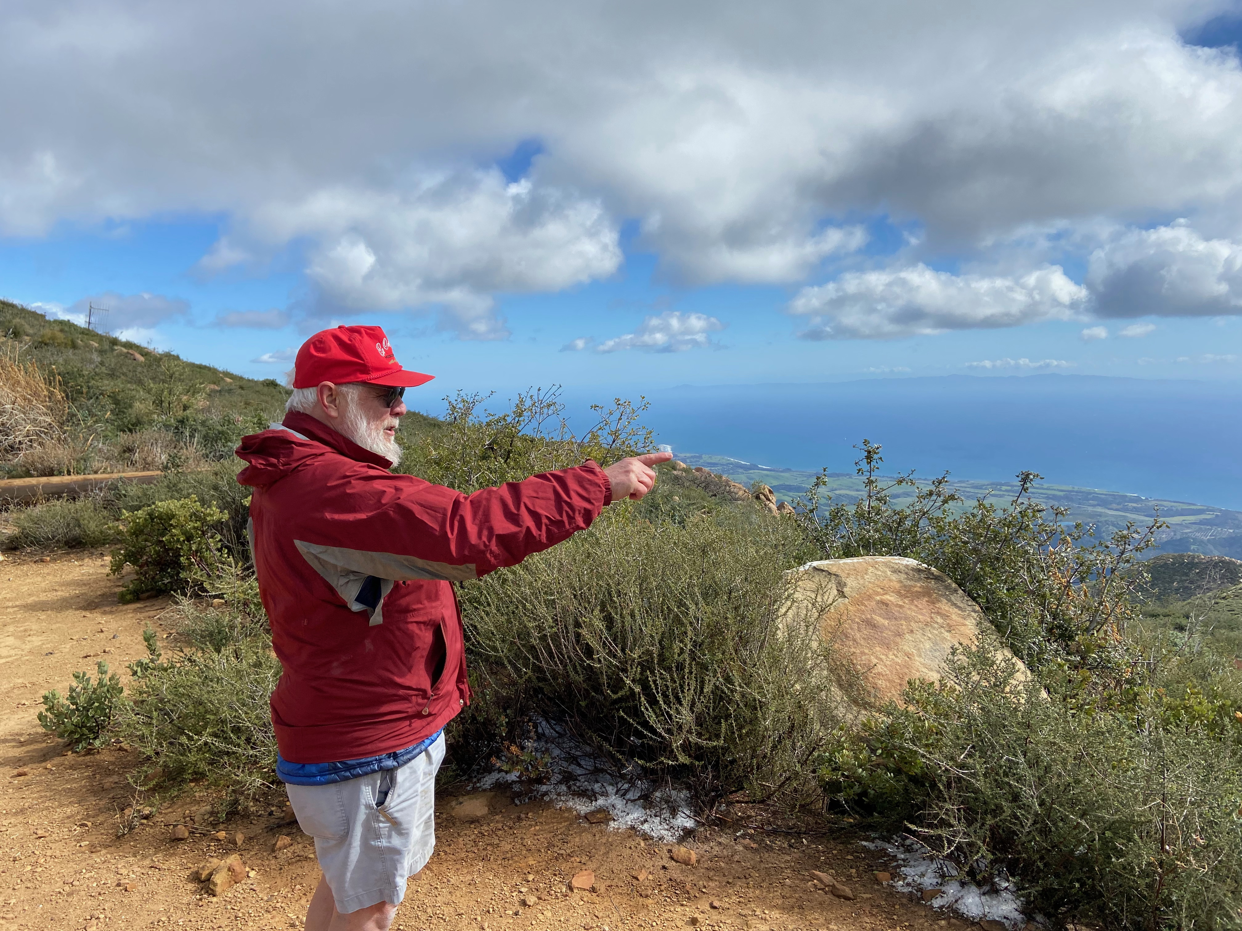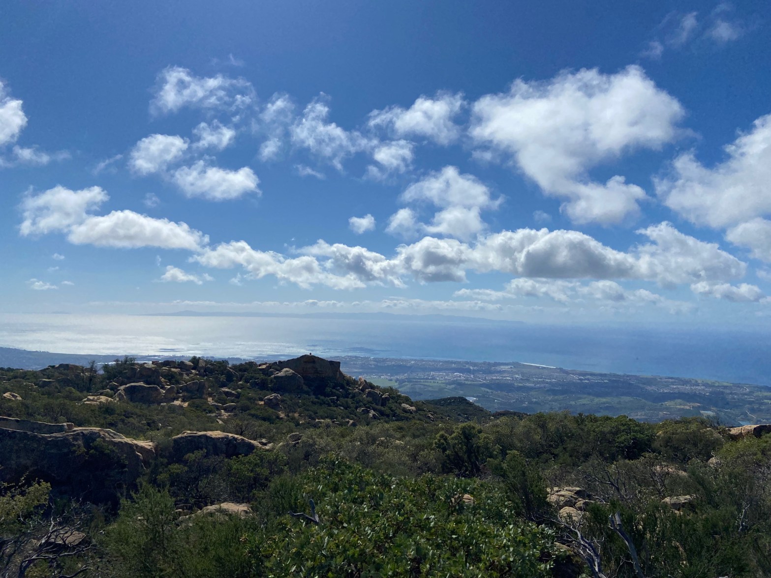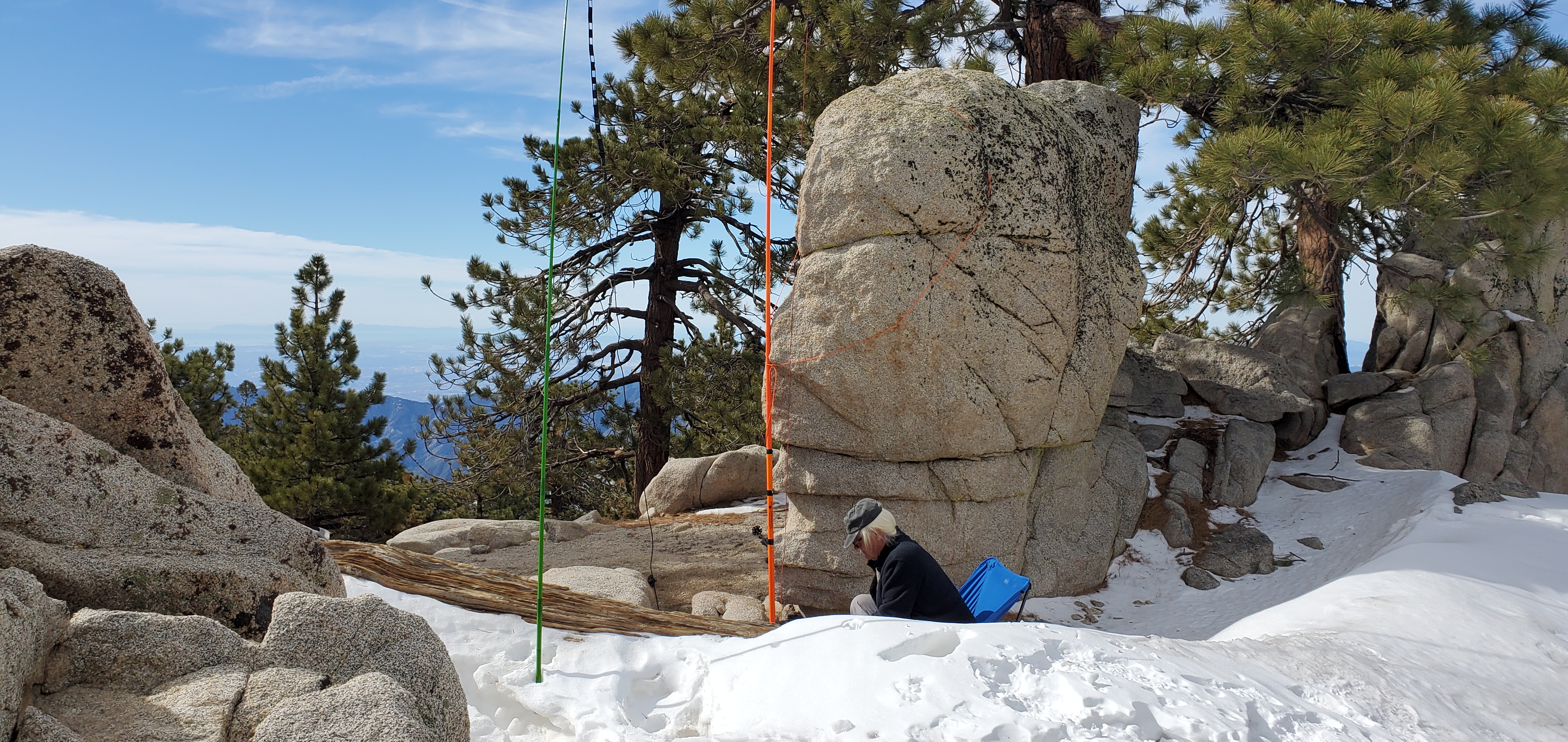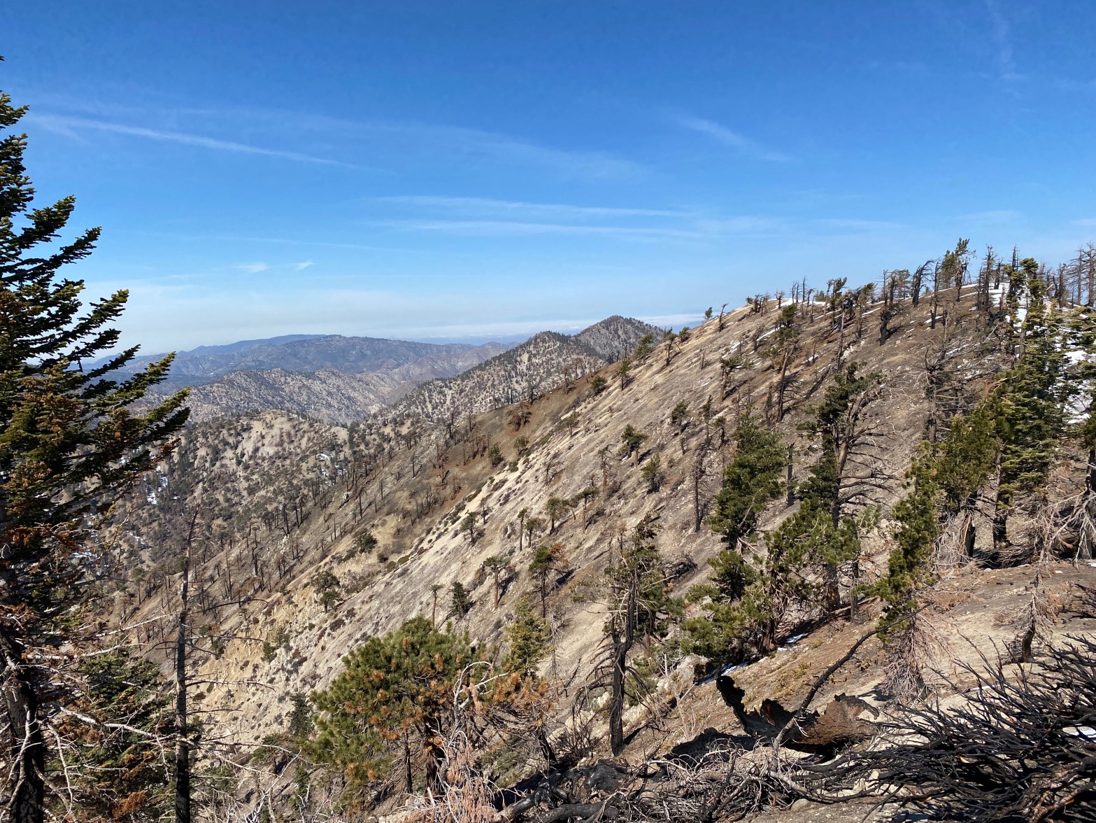
Looking from the summit of Mount Williamson to the northeast to the high point of Pleasant View Ridge – the actual SOTA summit. That is Pallet Mountain just off the left shoulder of the high point.
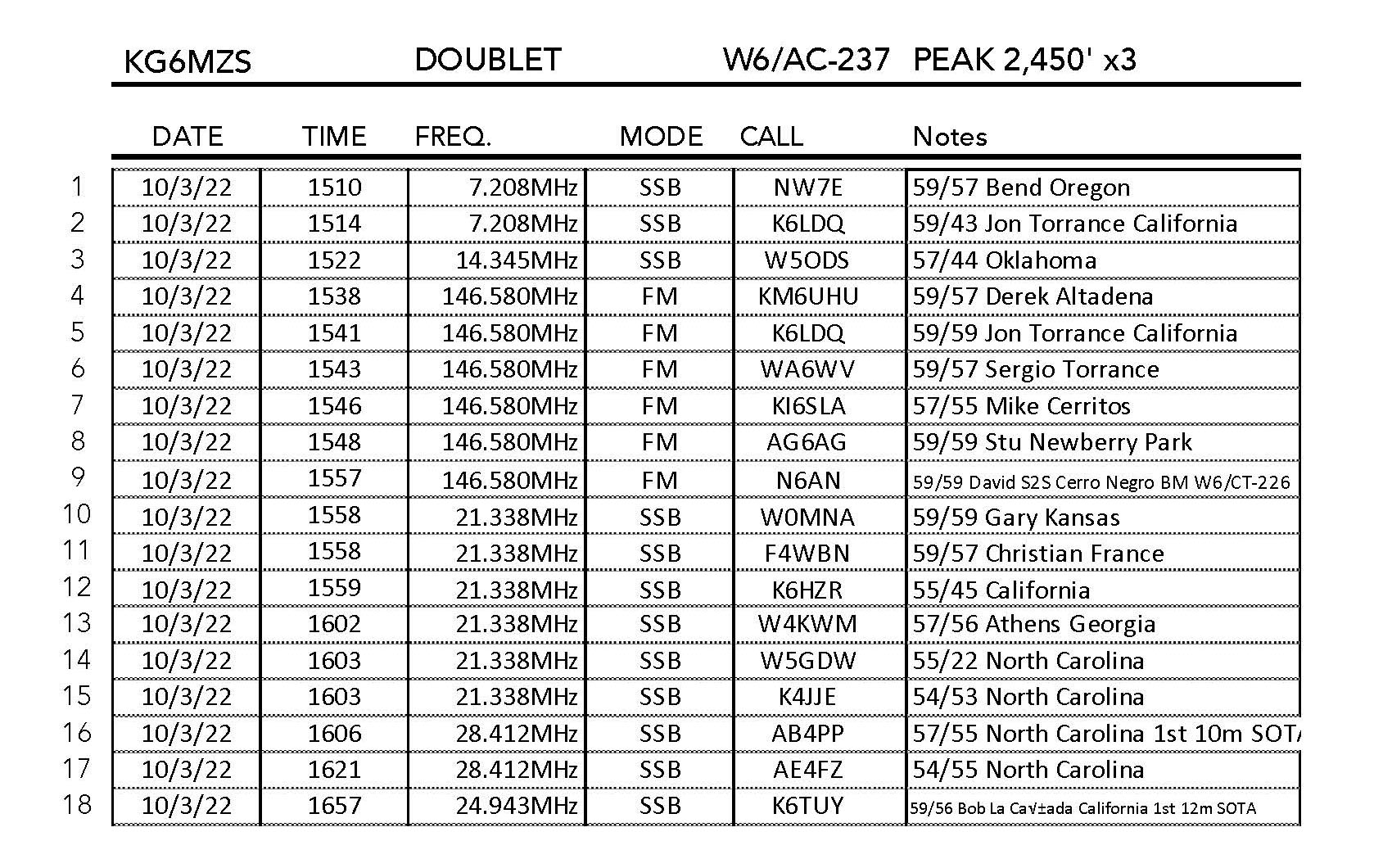
2 APRIL 2022 W6/CT-247
The first thing to know about activating Mount Williamson is that you are not activating Mount Williamson. You are activating the high point of Pleasant View Ridge: USGS 8,248′ which is about a half mile northwest of the actual Mount Williamson. While SOTA Goat will tell you that Mount Williamson is in the activation zone, it probably isn’t because the saddle between this point and USGS 8,244′ is just below the 25 meter requirement.
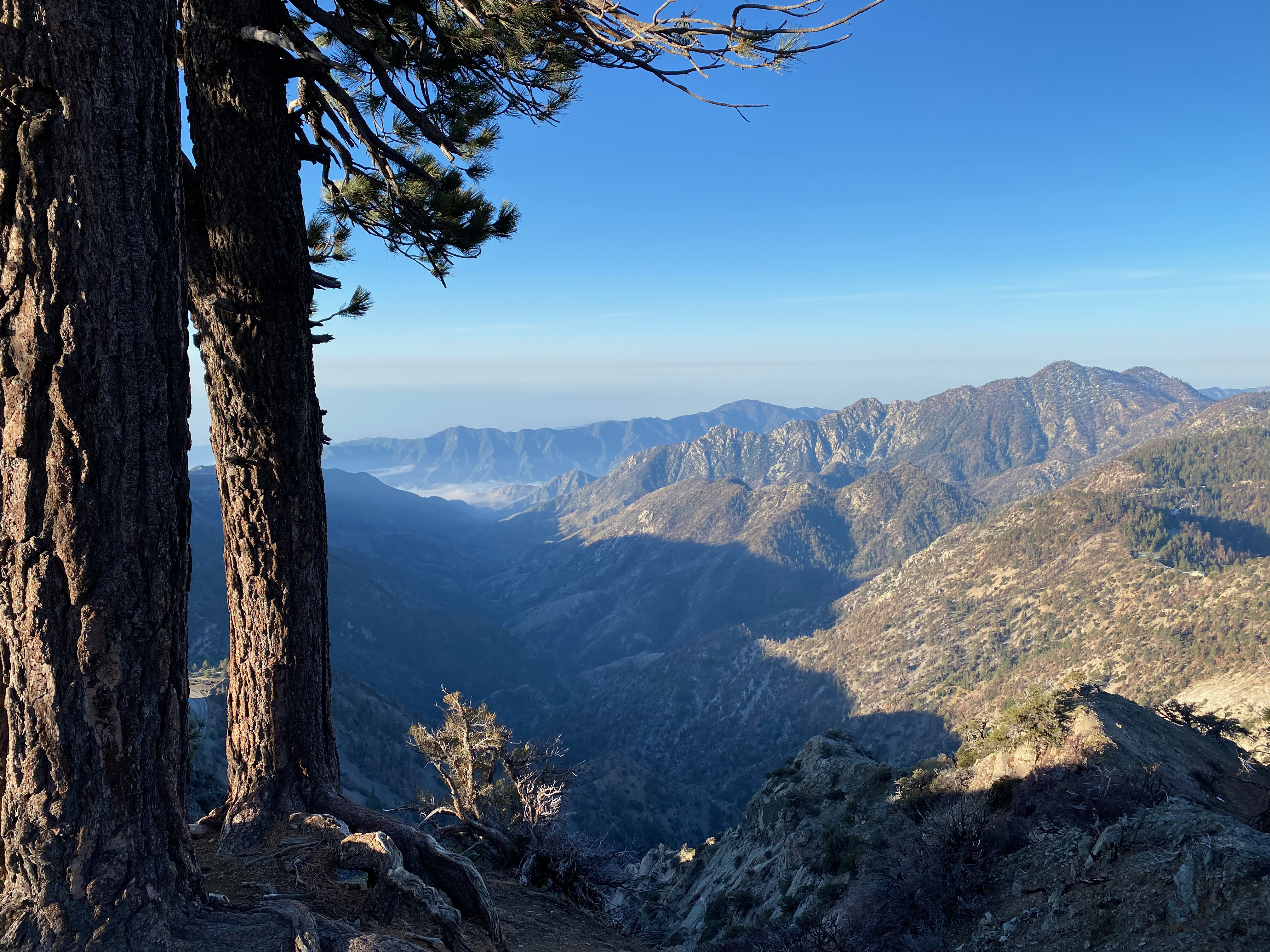
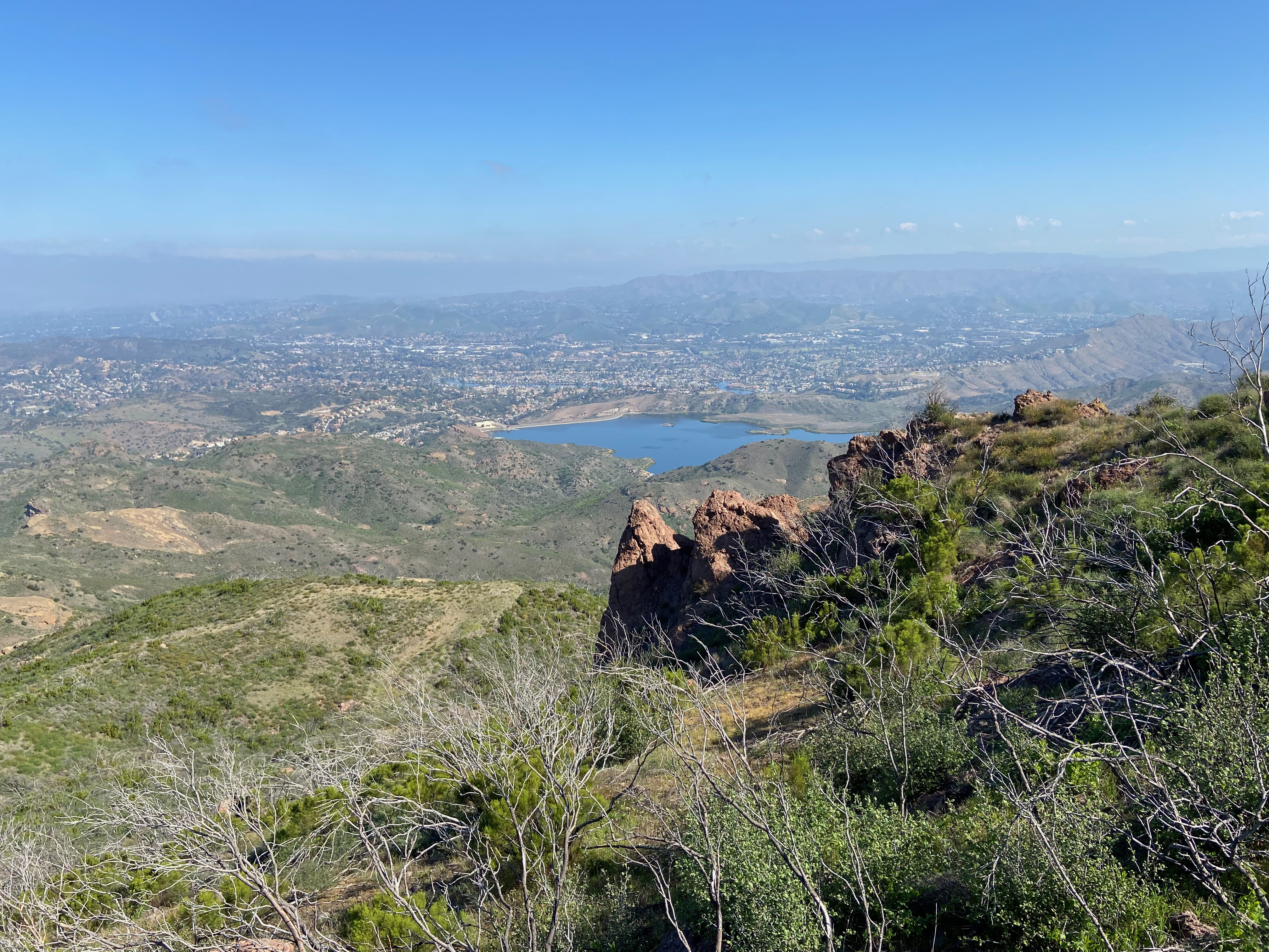
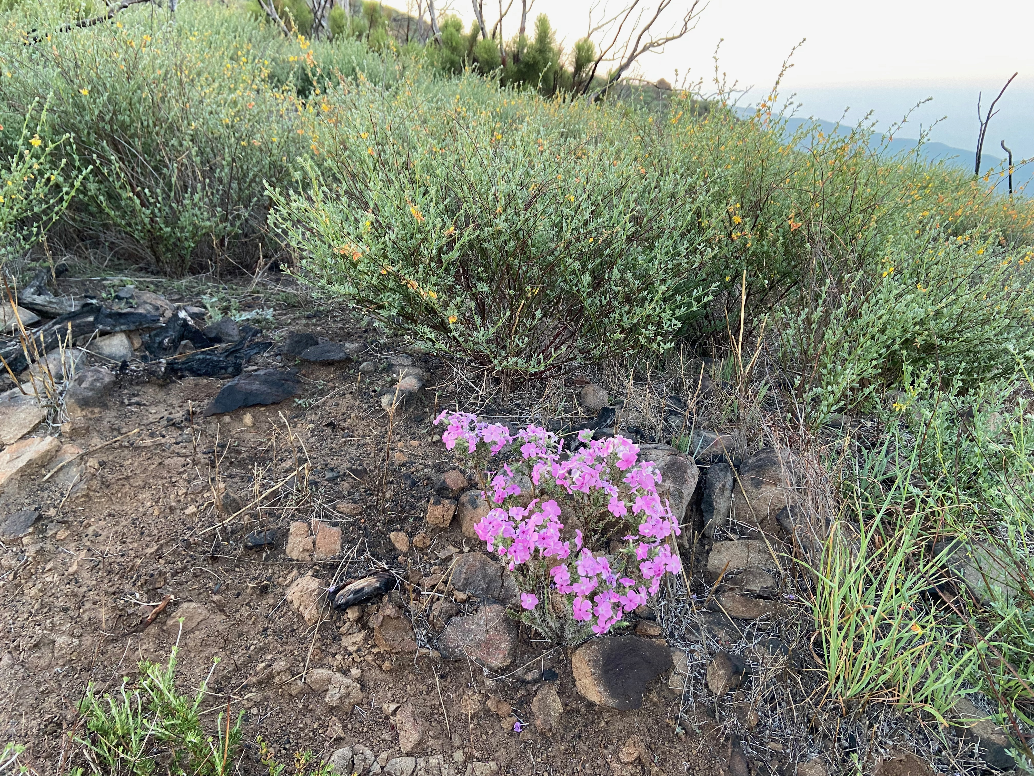
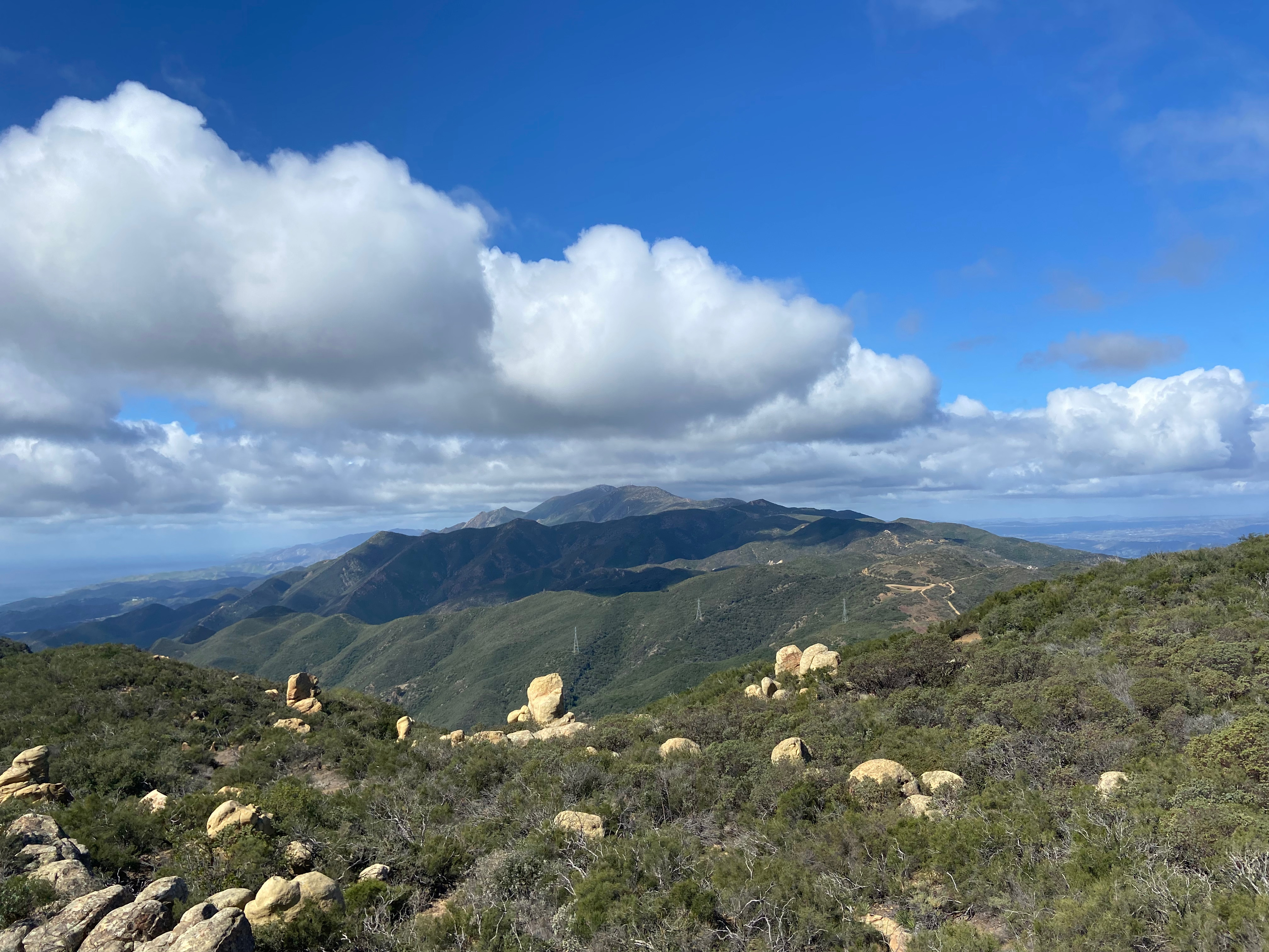
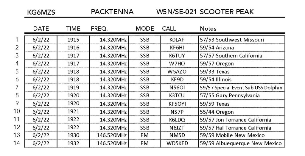
This area just opened after the Bobcat Fire area closures a day before and the whole area is still showing the devastating effects of that fire and the 2020-2021 drought year. Many trees are fully dead and I saw some trees that had green growth the had snapped off and blown over because of their weakened trunks.
I last climbed this mountain along with the rest of Pleasant View Ridge and Pallet Mountain on May 22, 1988. 34 years ago the entire ridge was beautifully forested with large pine trees.
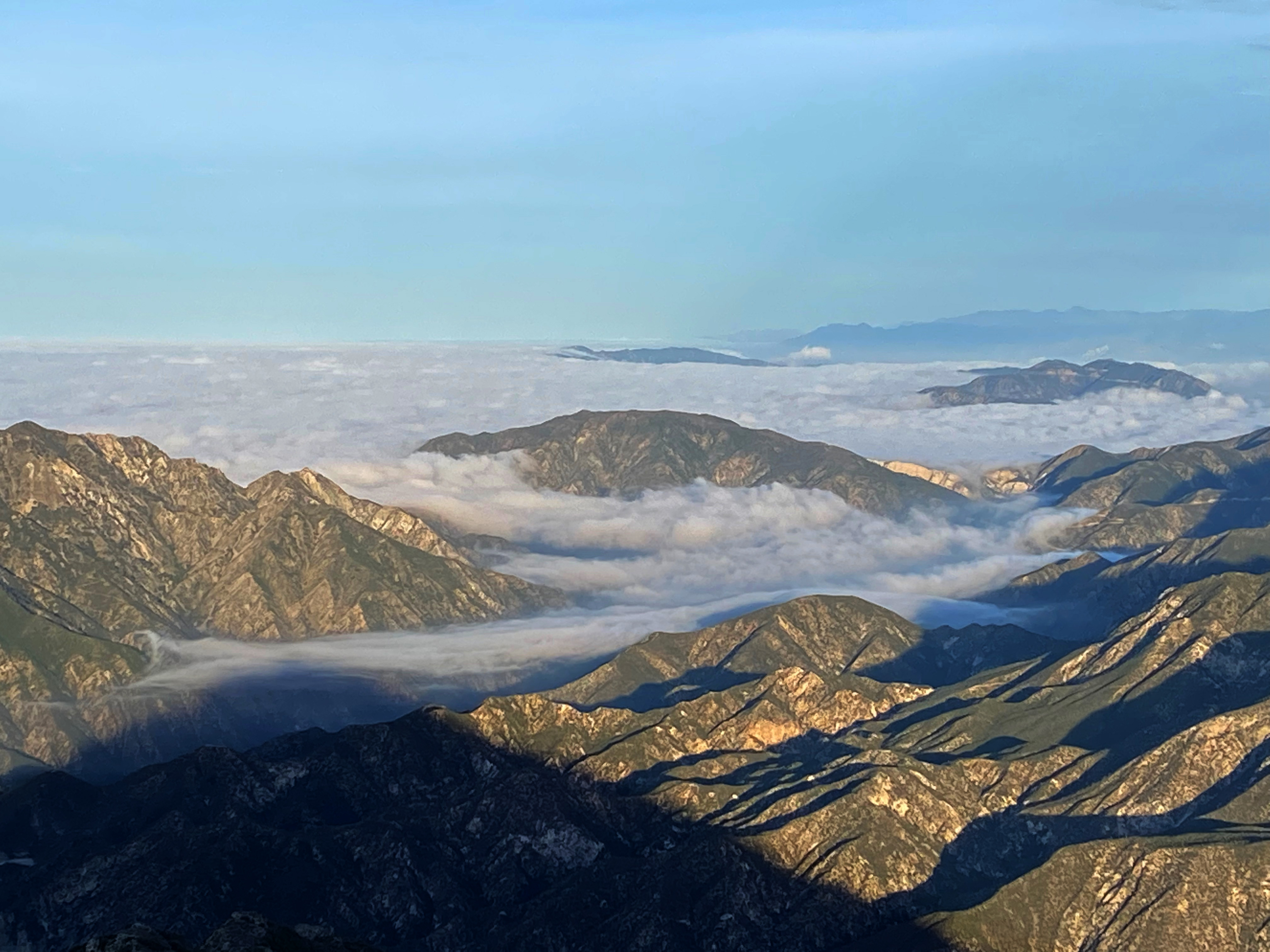
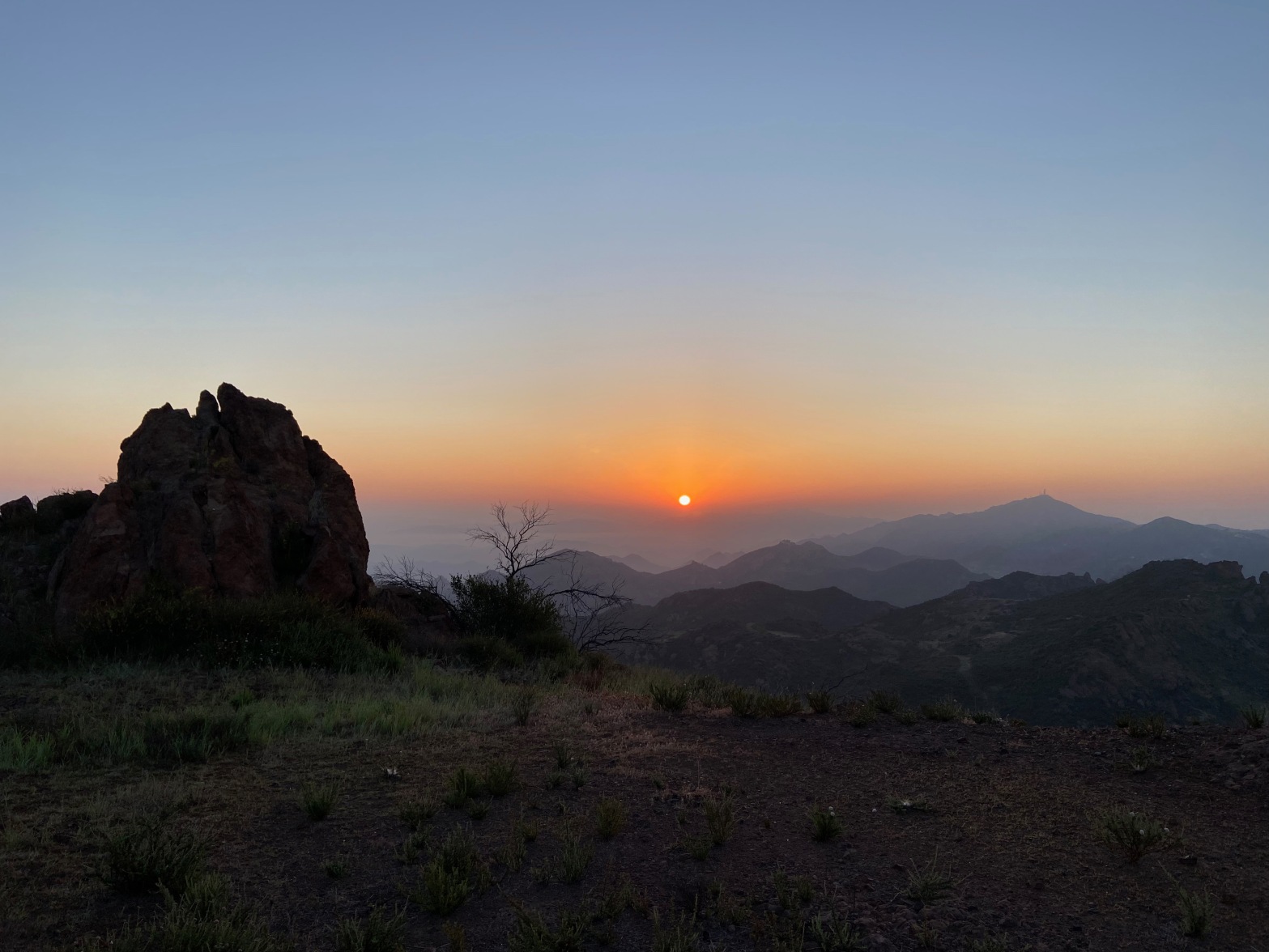
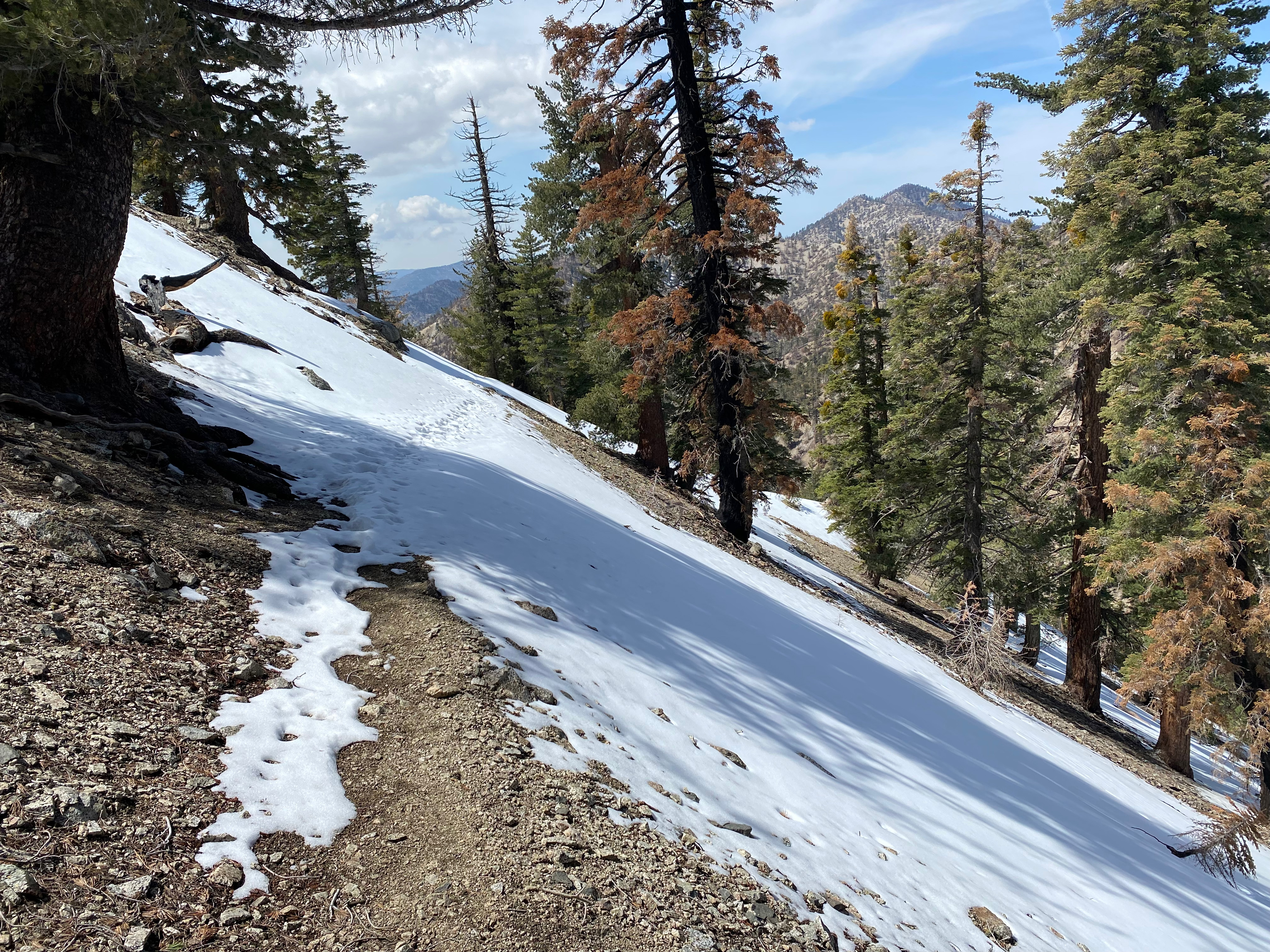
As it was just getting light I looked up at the burned out, but snow-free southern exposures of Mount Williamson and I decided to leave the micro-spikes at the truck. Big mistake! As luck would have it, the trail winds around to the north west side of the ridge and large, steep and icy sections of snow needed to be traversed. Fortunately somebody had come down late in the day before and large deep footprints were in the icy traverses. Where there were no steps I could kick footholds with 5 or 6 kicks in the icy snow. That and having my trekking poles tipped me over the edge in my decision to continue. A fall probably wouldn’t have been fatal, but it would have been serious nonetheless.
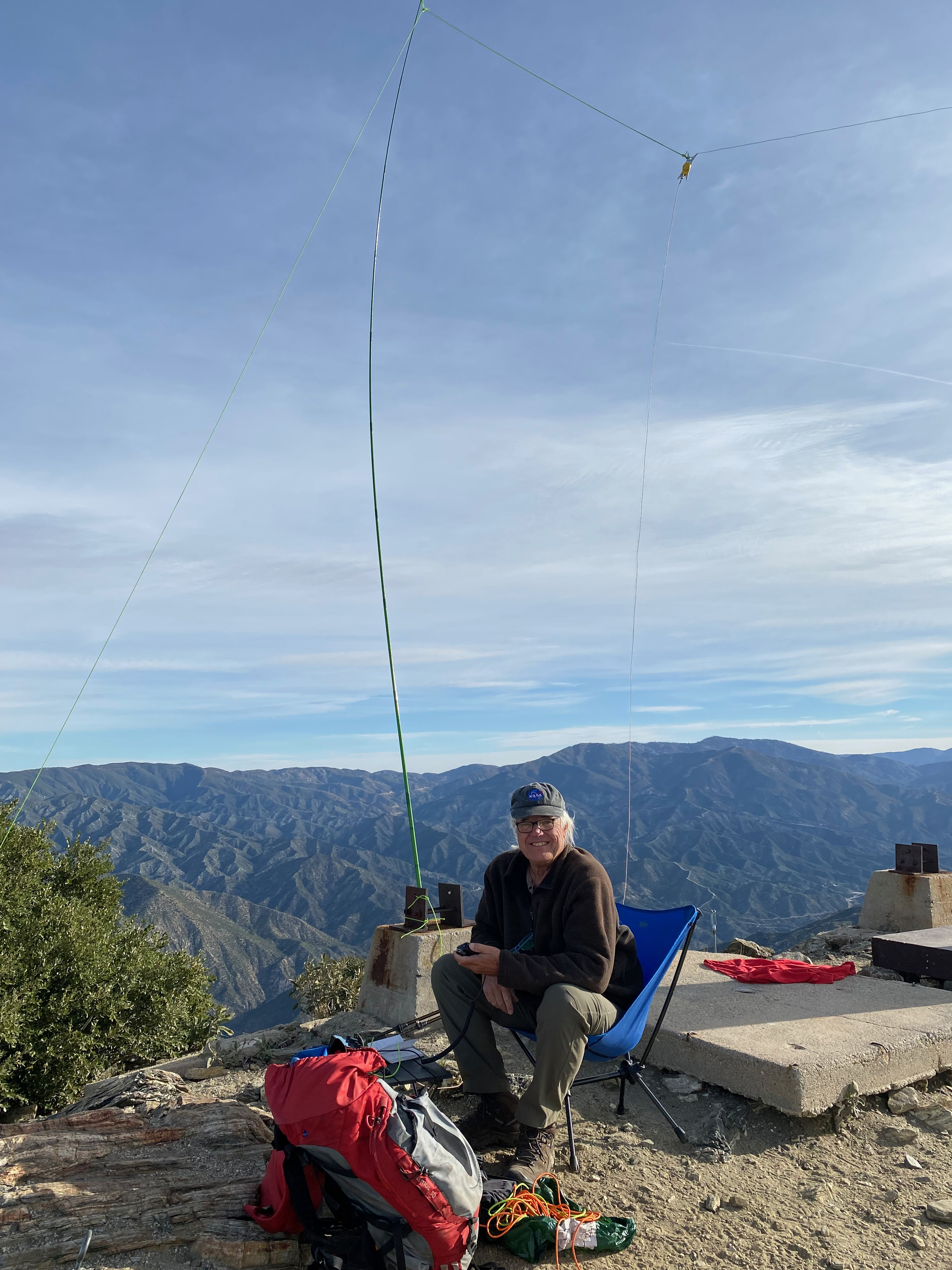
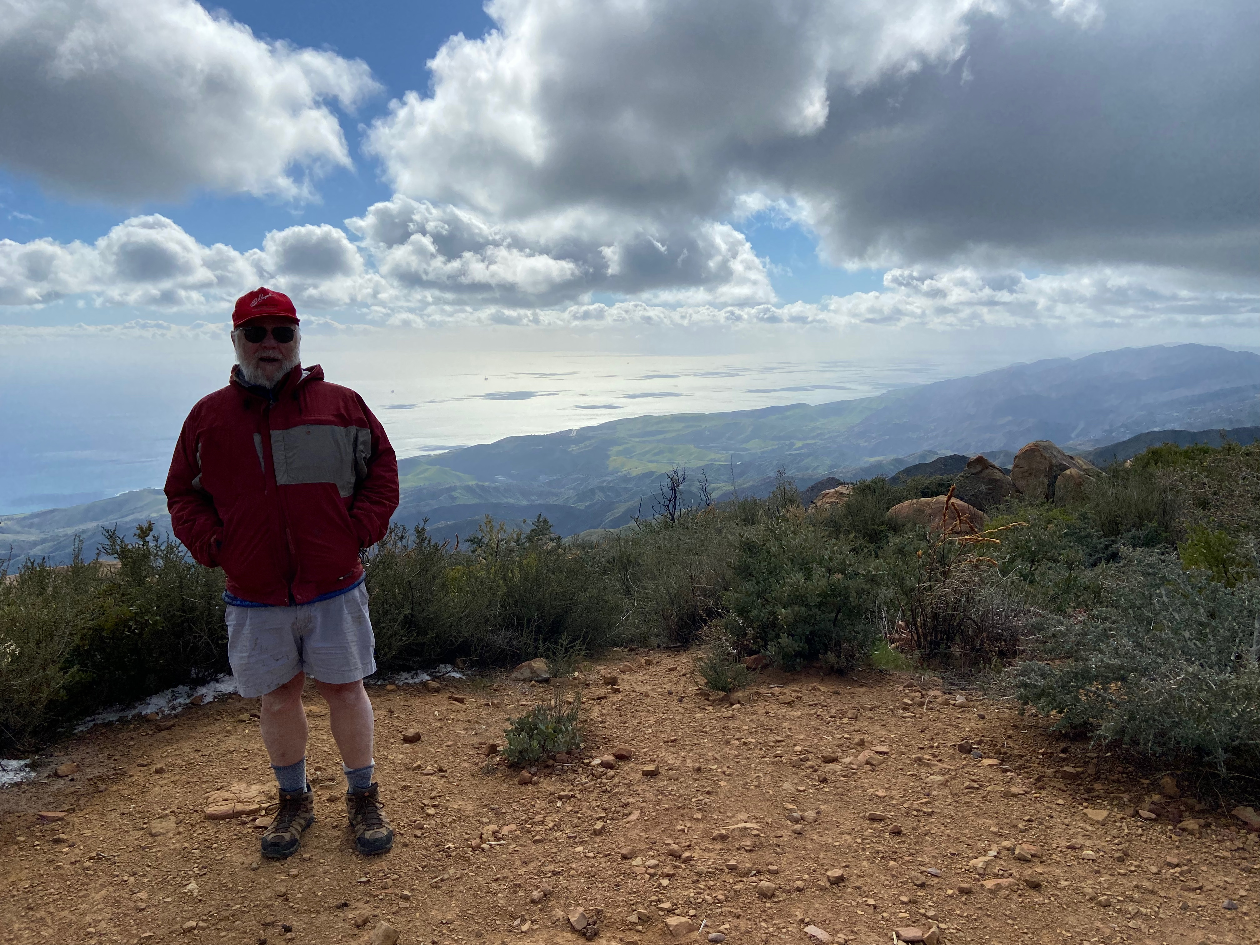
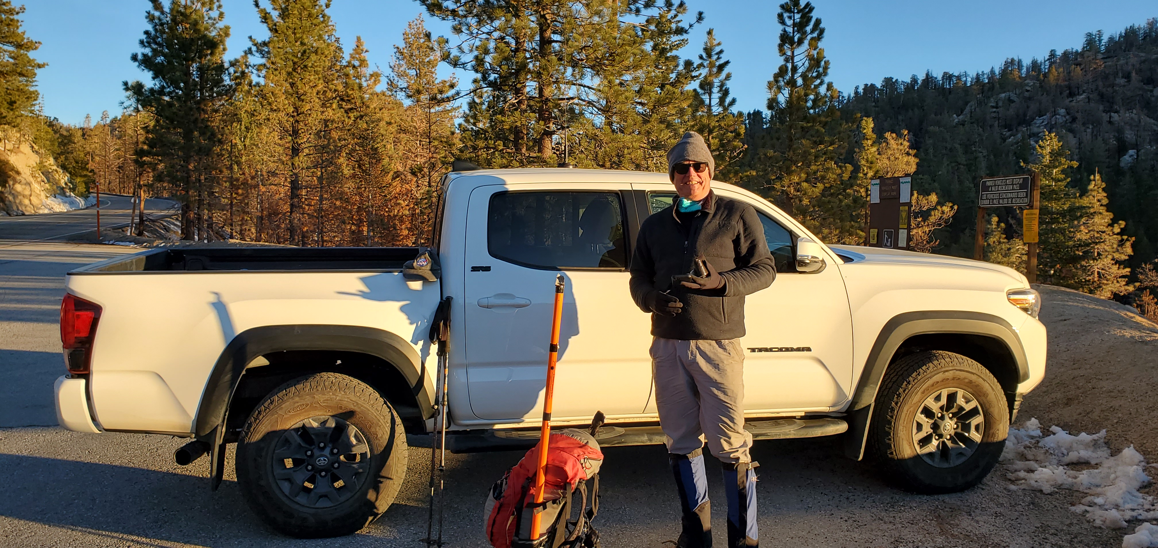
The hike is a little over 2 miles with a stout 1,750 feet of elevation gain. I had very spotty cell coverage from Verizon but excellent APRS coverage.
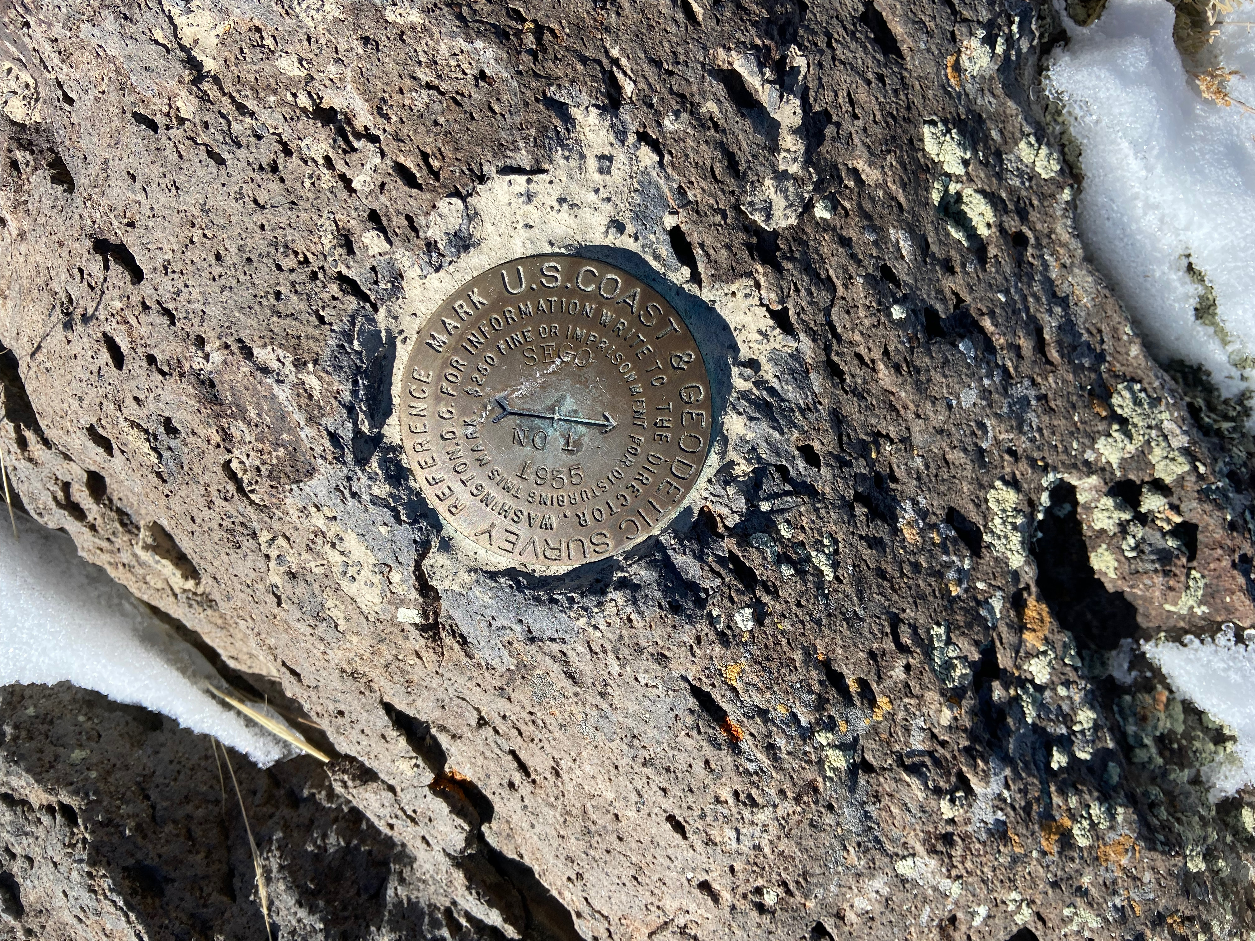
I was the first person to sign in the register this year. The last entry was December 1, 2021. The register went back to 6/2/1988.
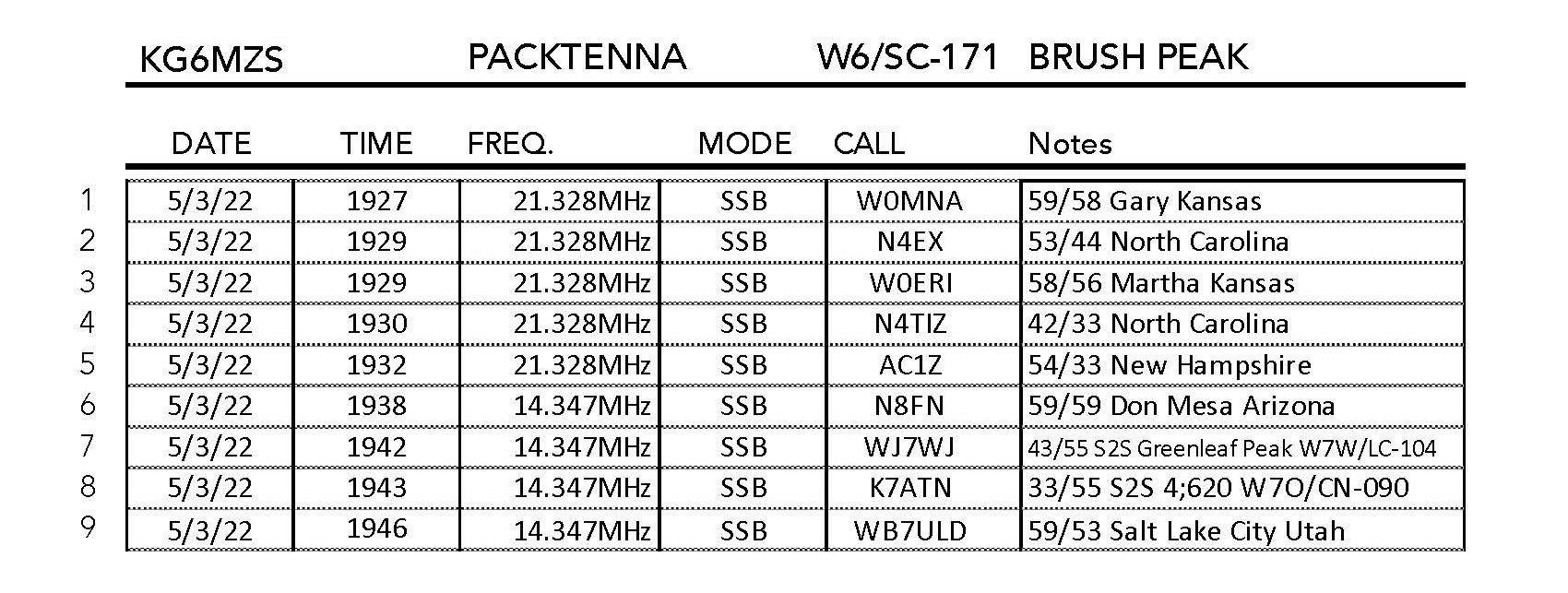
Even with band conditions very off because of the recent solar flair I still managed 39 contacts with 6 unique summit-to-summit contacts. These summits were in California, Idaho and Oregon. I heard my buddy Keith K9TPR back home in Topanga Canyon and many of the faithful chasers. Thank you everybody!