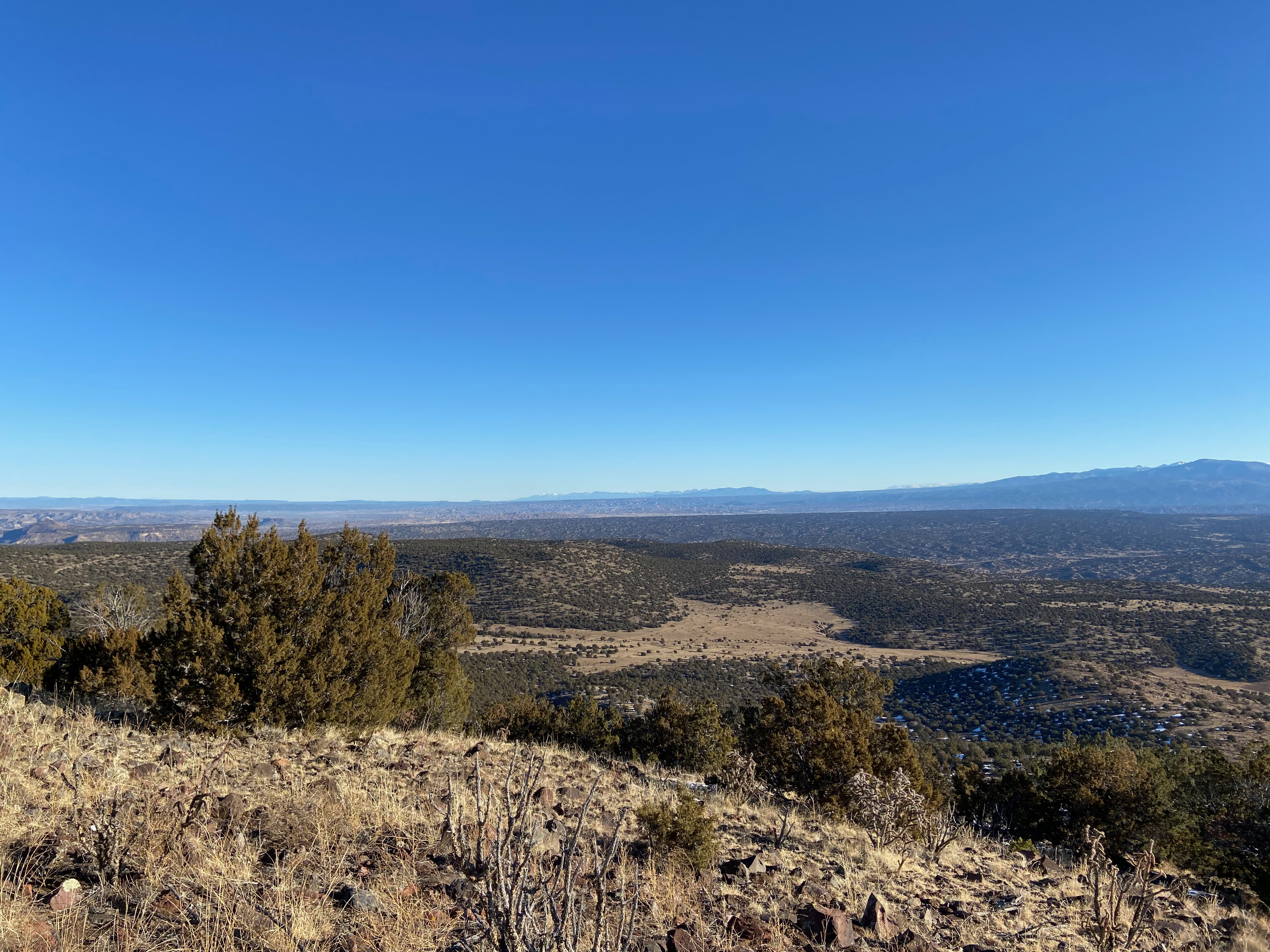
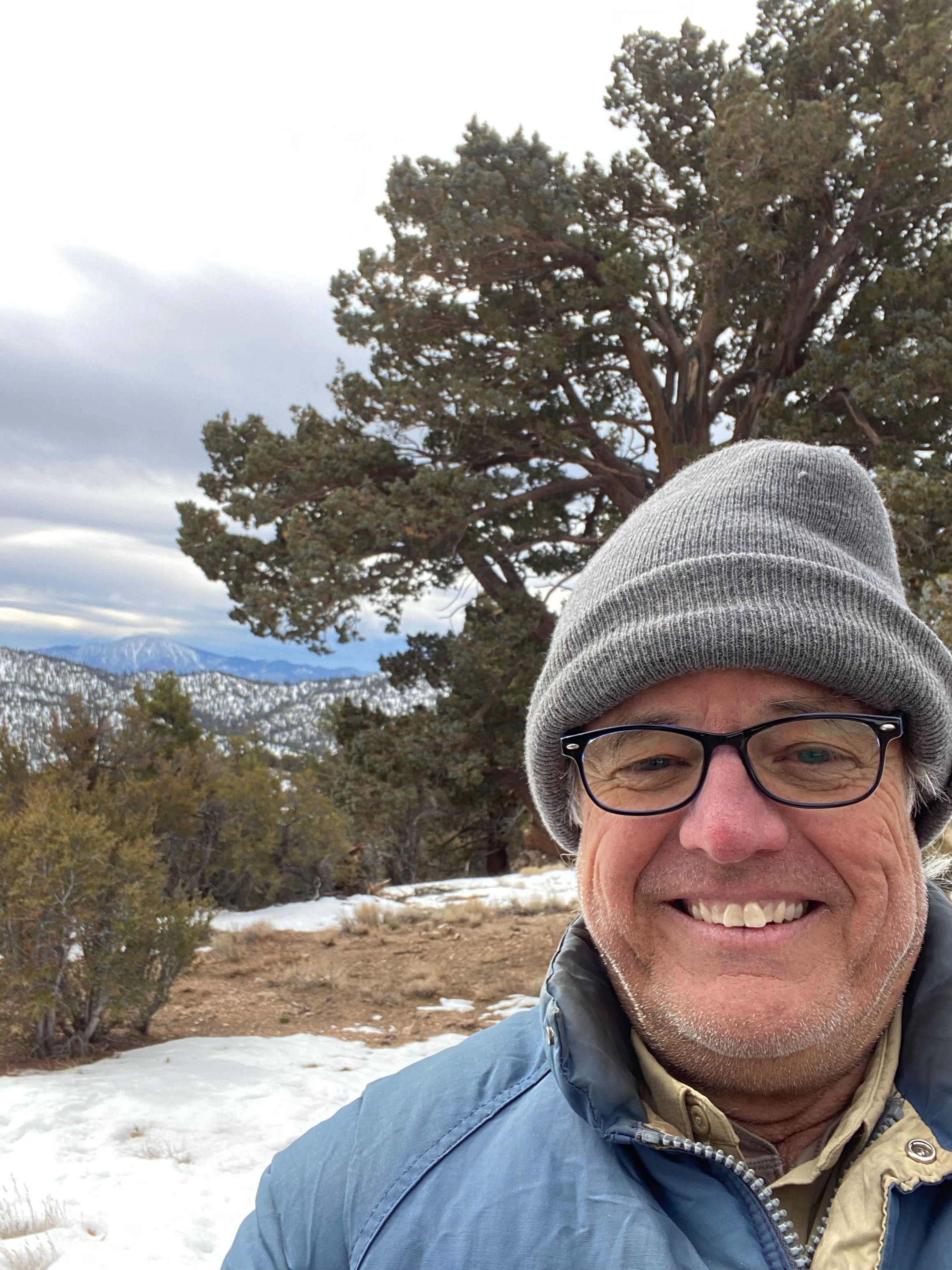
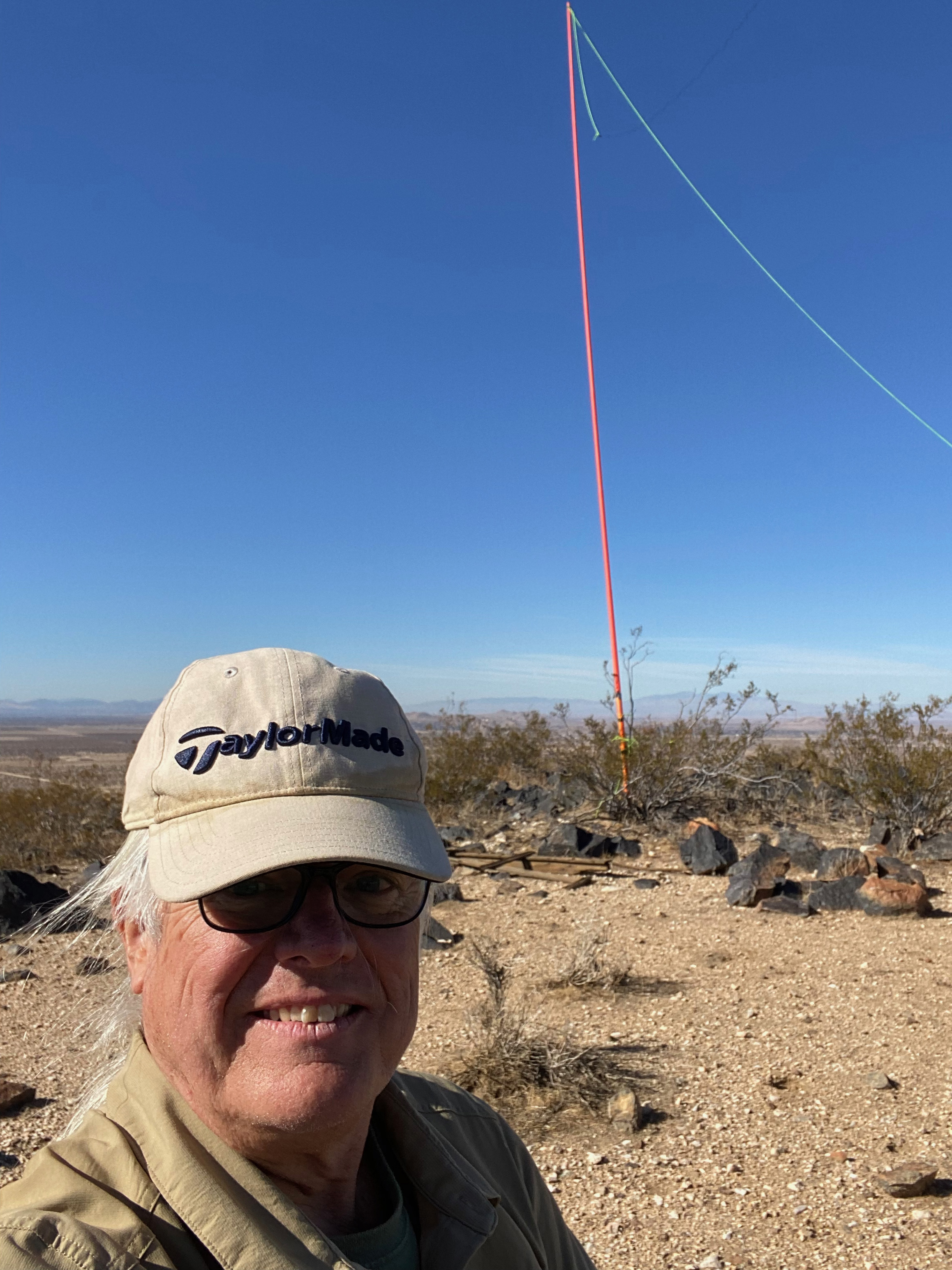
I had the good fortune to meet Eugene AF90 & Alan NM5S on the summit. That is Chacoma Mountain and the Valles Caldera in the background.
22 JANUARY 2022 W5N/SE-043
After returning to The Land of Enchantment this winter I wanted to start off easy. I haven’t done a whole lot of driving in the snow or on back roads in 4wd so I thought I should ease into it.
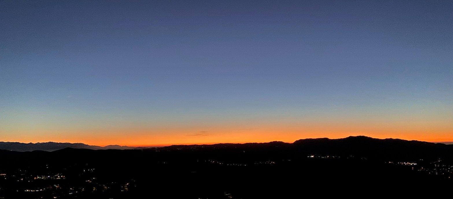
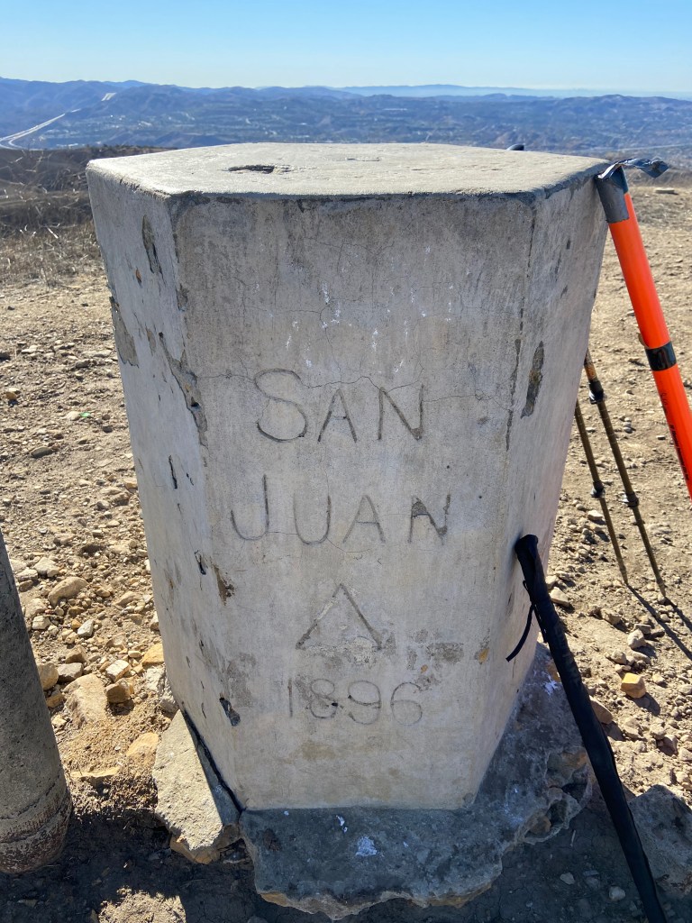
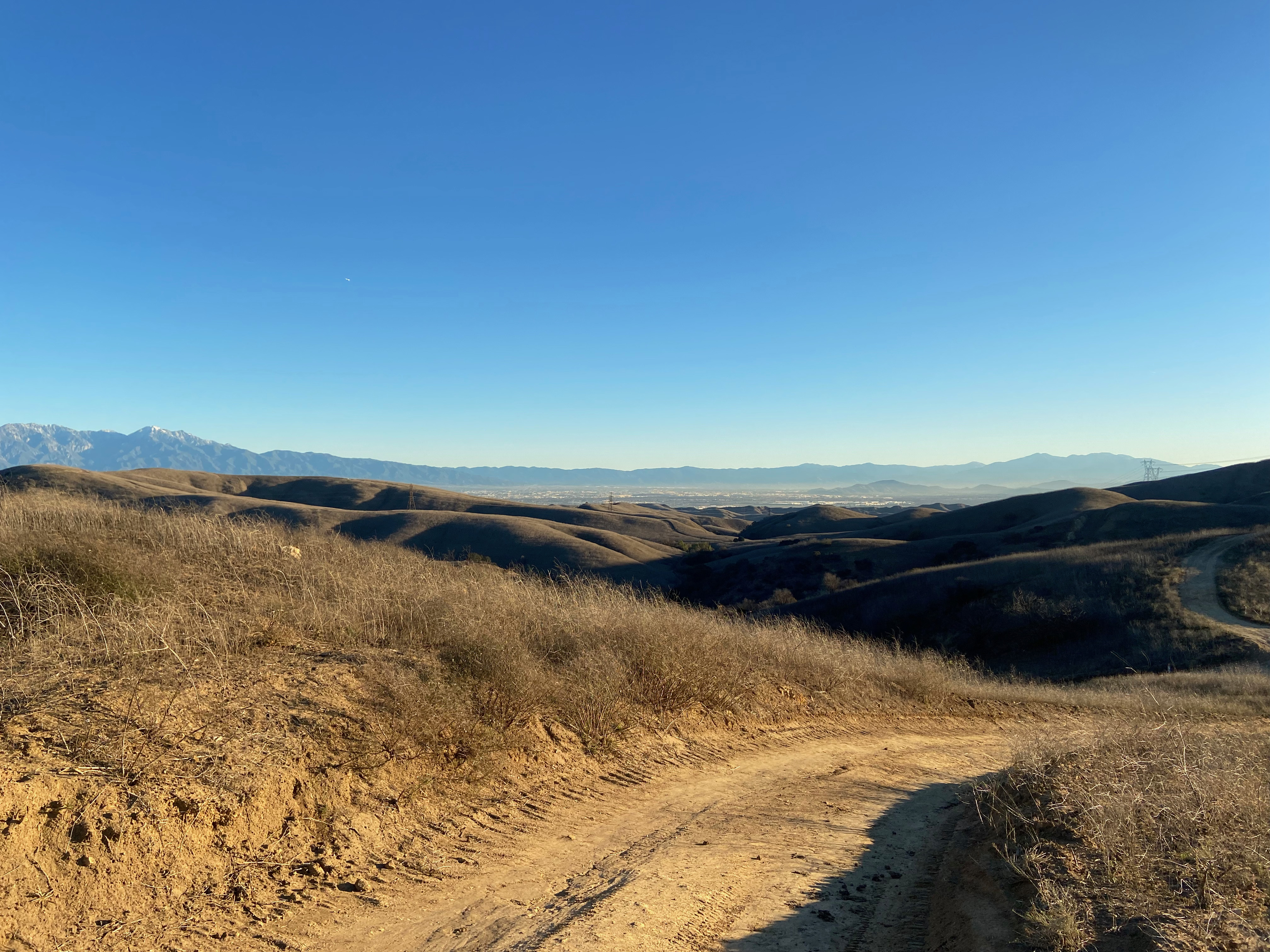
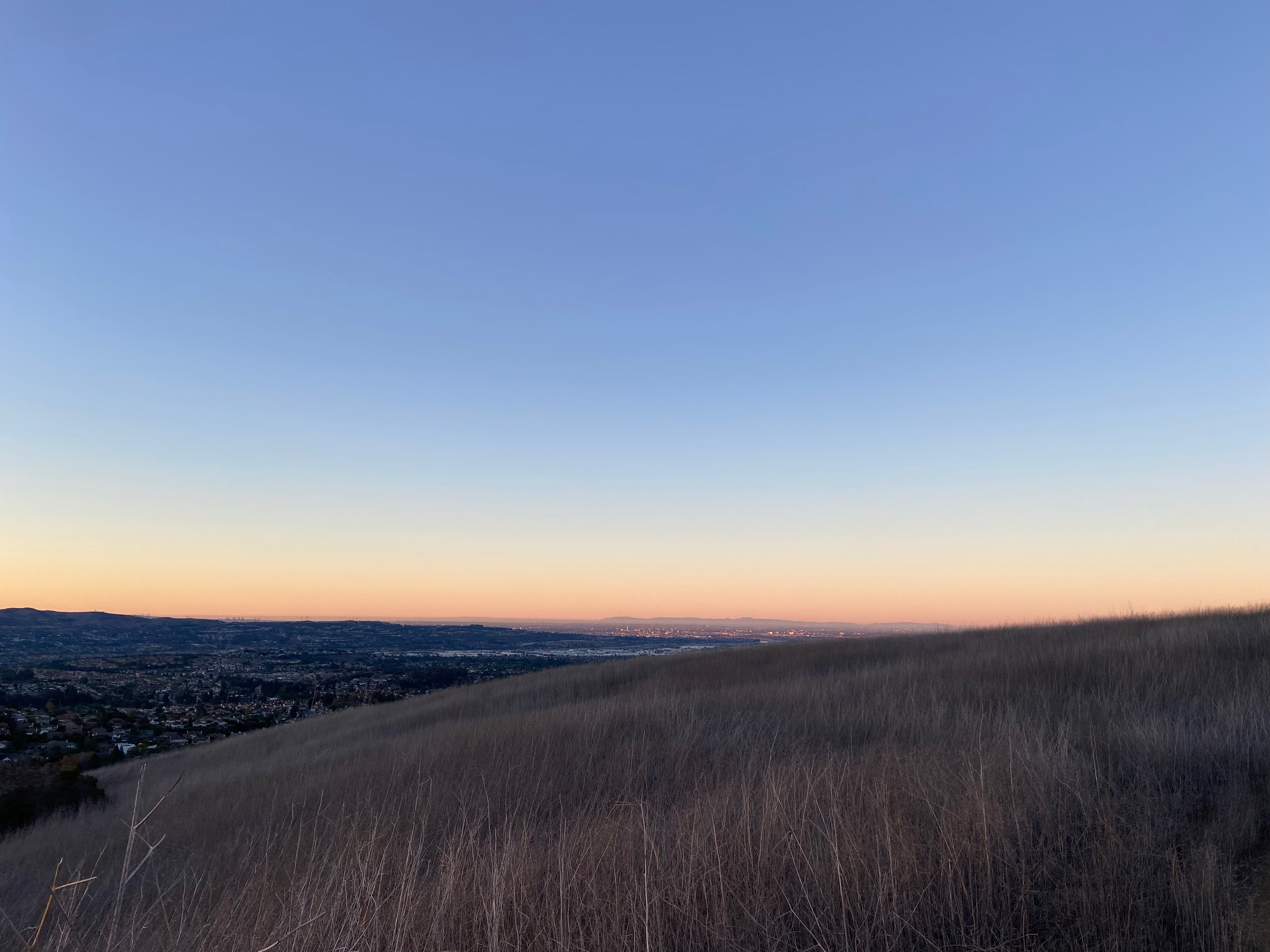
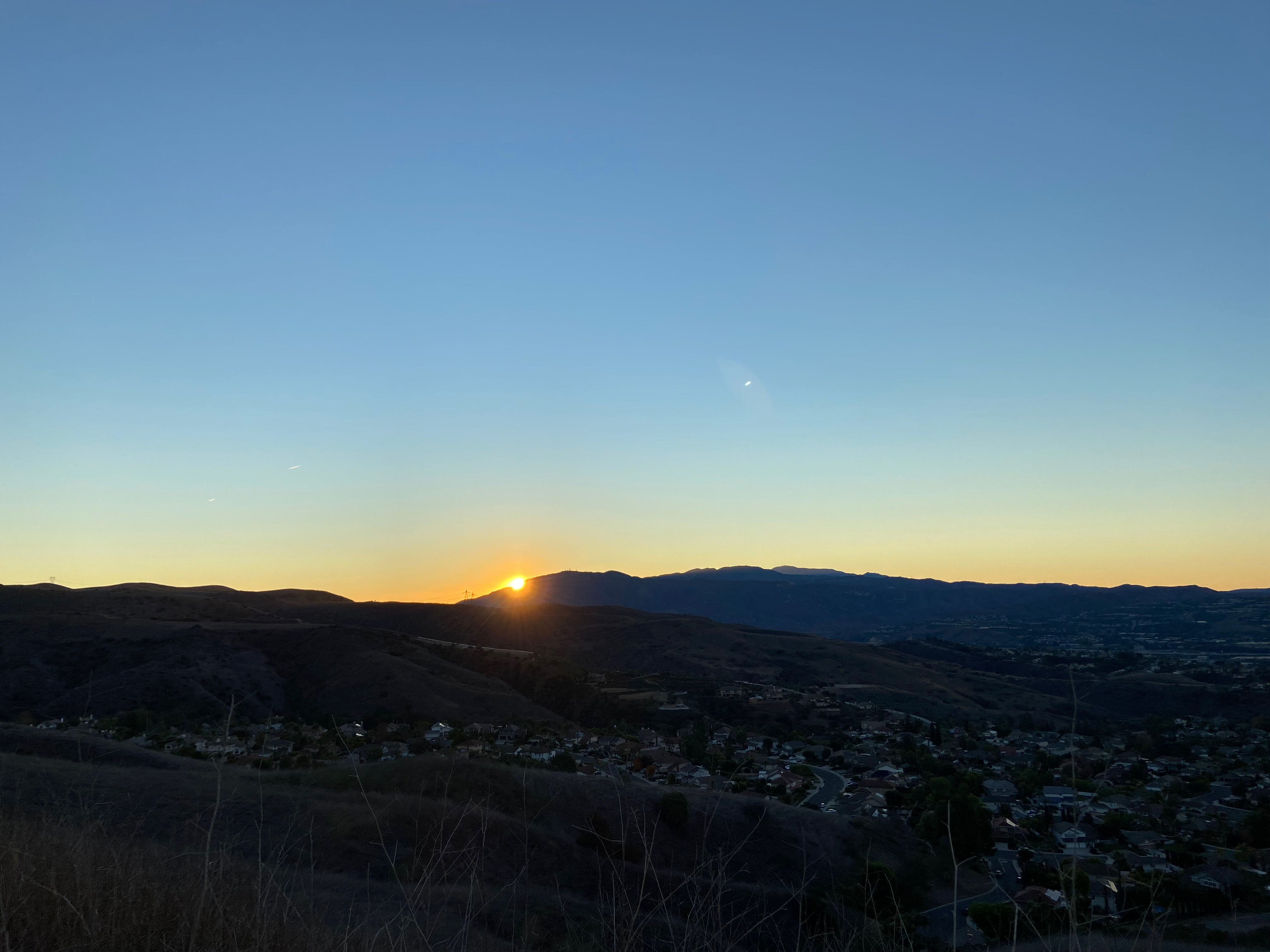
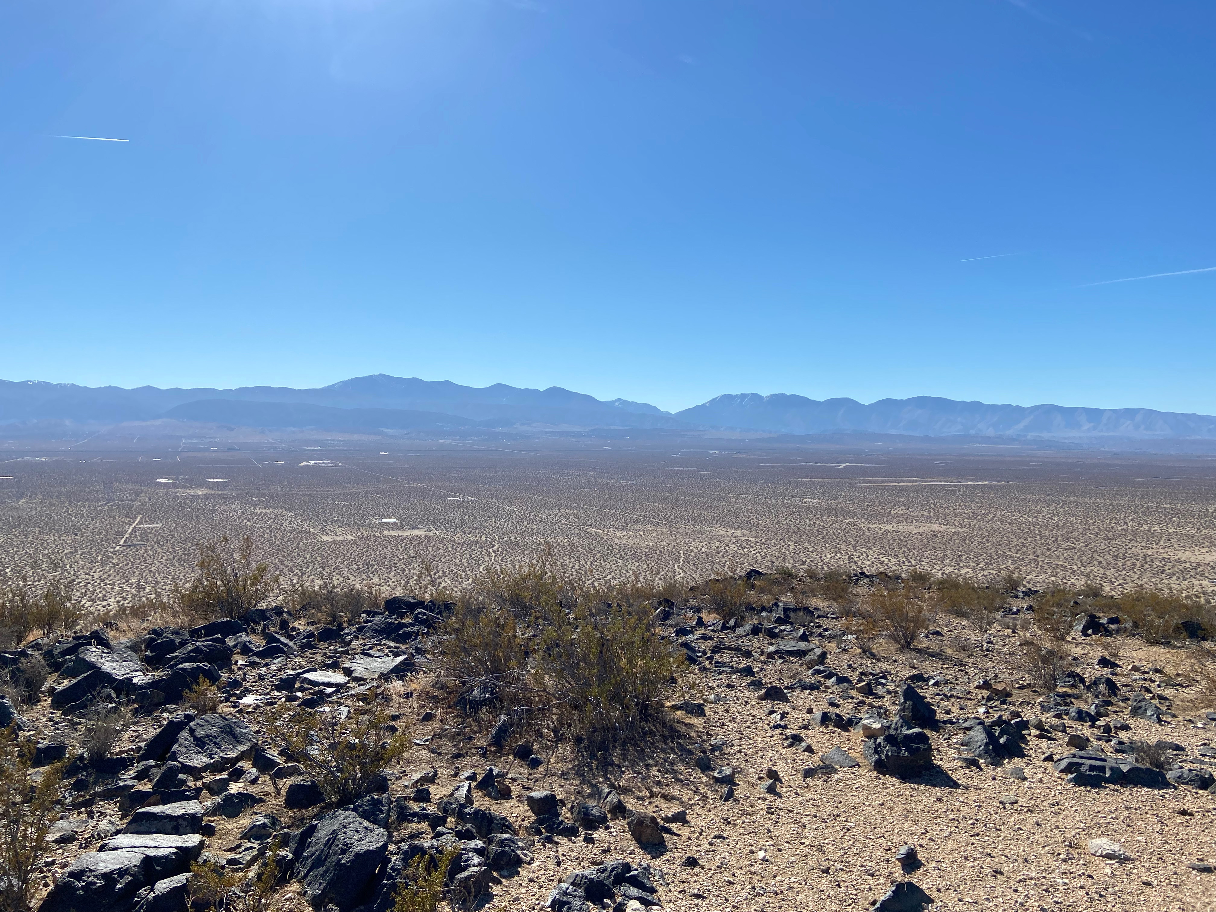
West of Santa Fe and east of the Rio Grande is an interesting volcanic area called the Caja Del Rio Plateau. There are a handful of SOTA summits peppering the area that all looked pretty easy. I decided to start with Ortiz Mountain known by locals as the Pankey Benchmark. I started out from the Taos Valley about 5am and made my way down the Rio Grande Gorge. the sunrise over Santa Fe was spectacular but I was too amped up to stop and take a picture.
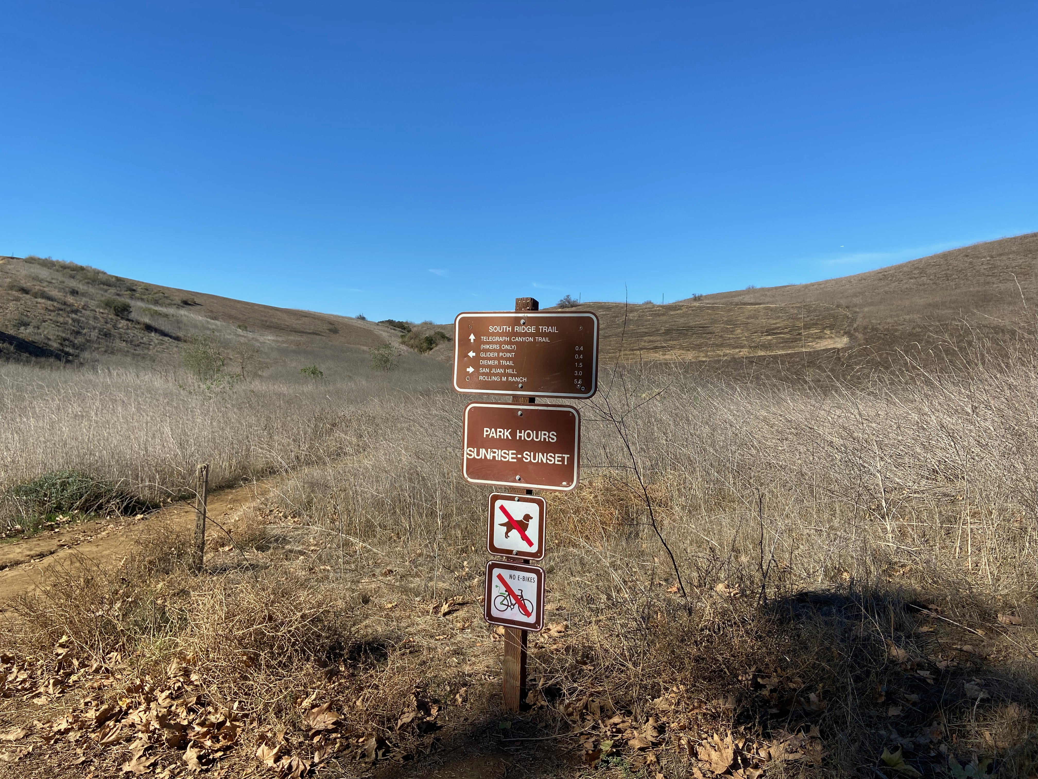
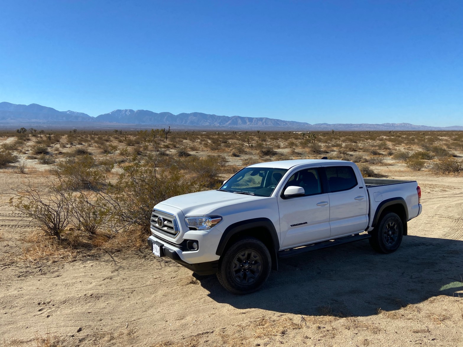
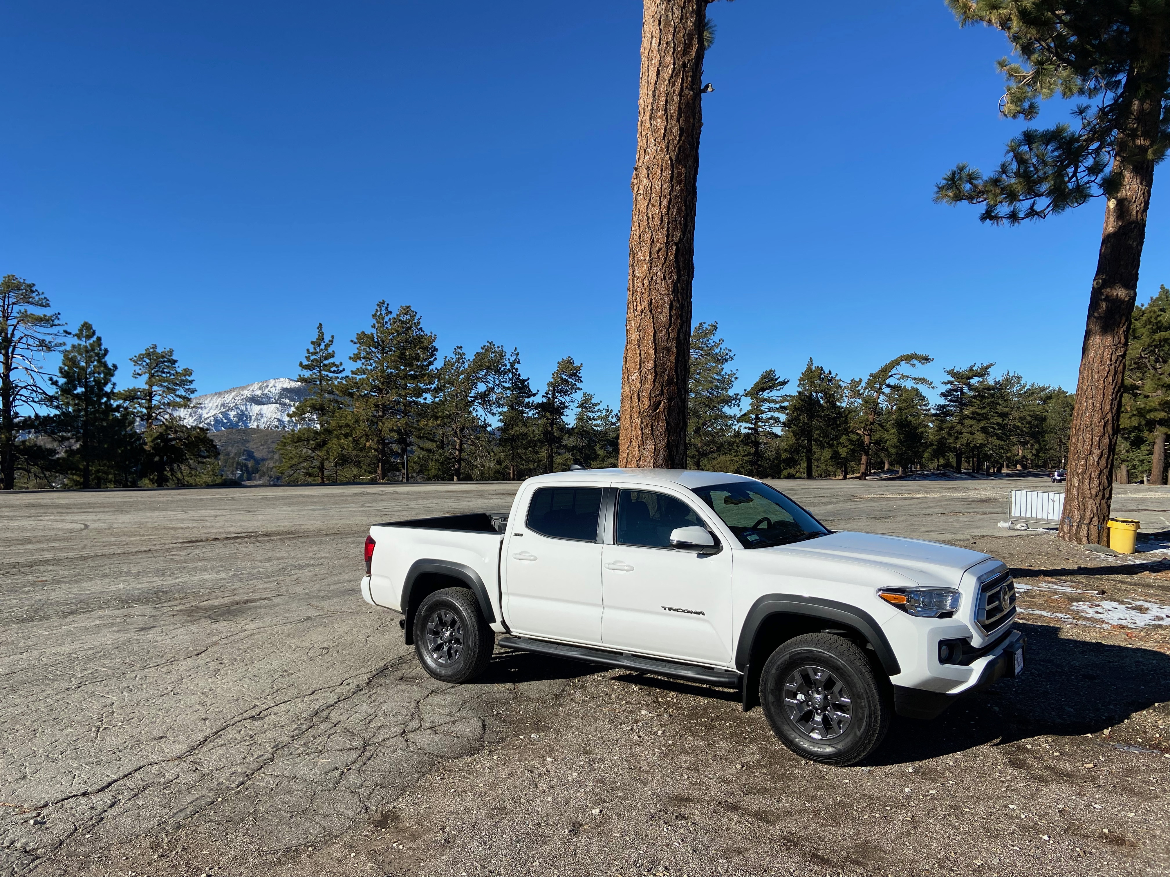
Out past the Marty Sanchez Links on Caja Del Rio Road is the turnoff to Forest Service Road 24. This road starts off pretty good for just about any vehicle. It is an easy drive to just past the corral and Eleven Hundred Well where I parked Whitedog. The road gets pretty treacherous after that. Just after the coral and the Eleven Hundred Well I startled a herd of elk and they ran off into the juniper.
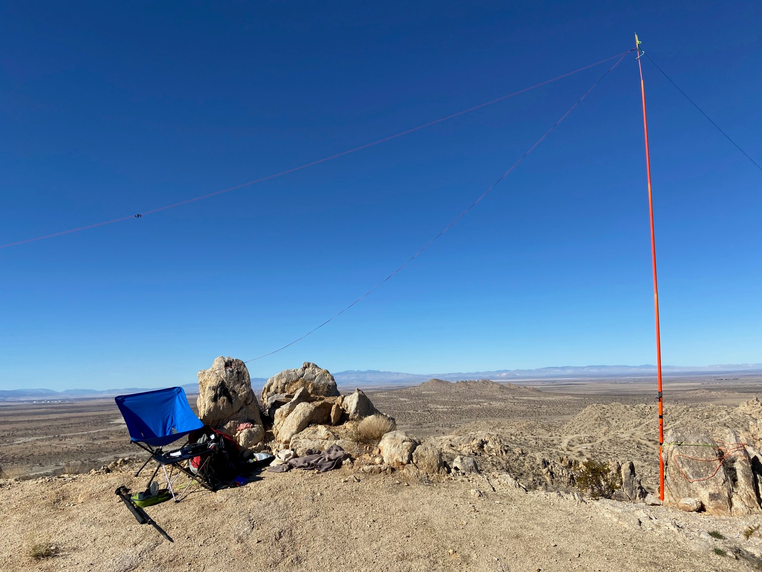
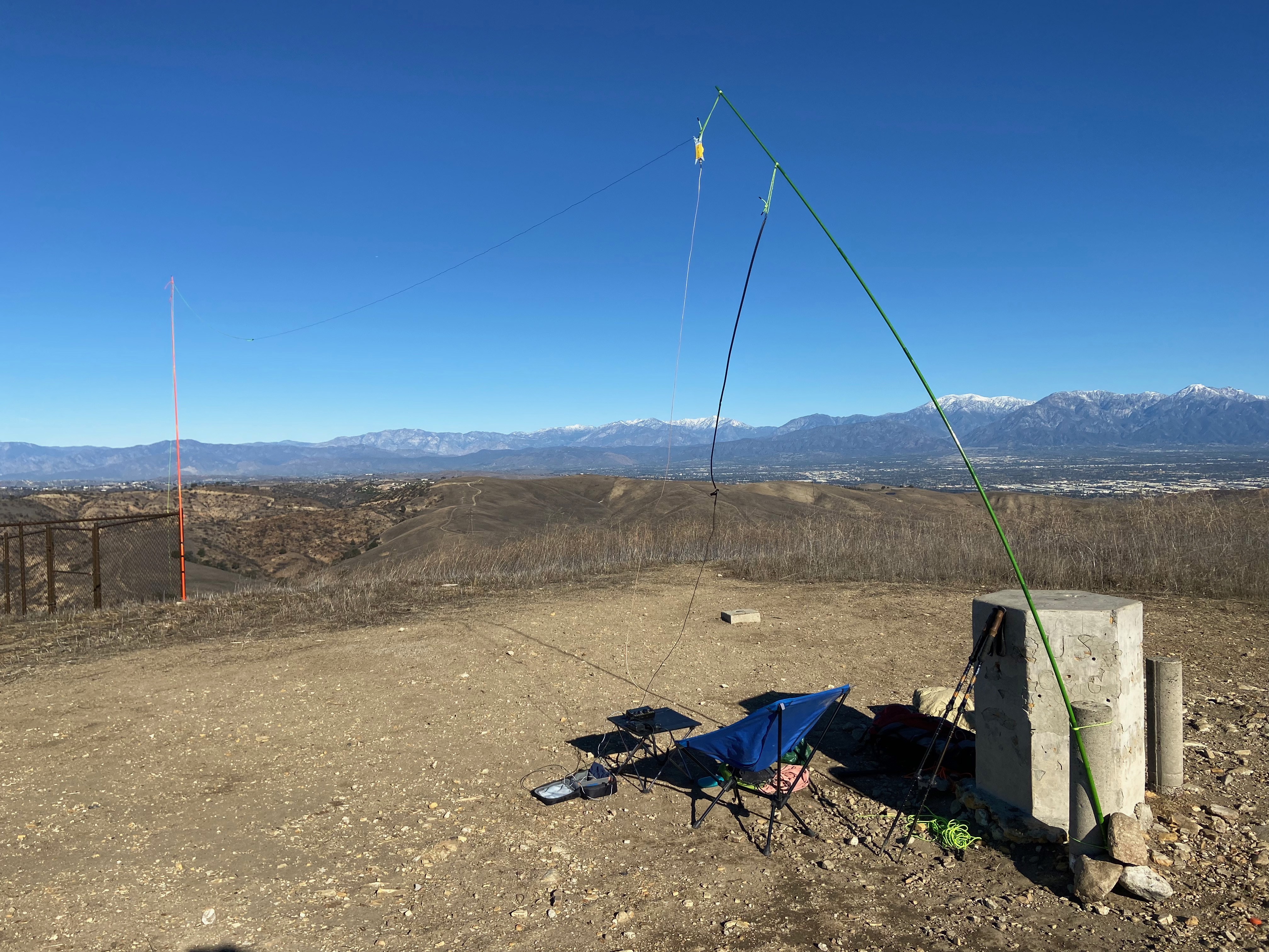
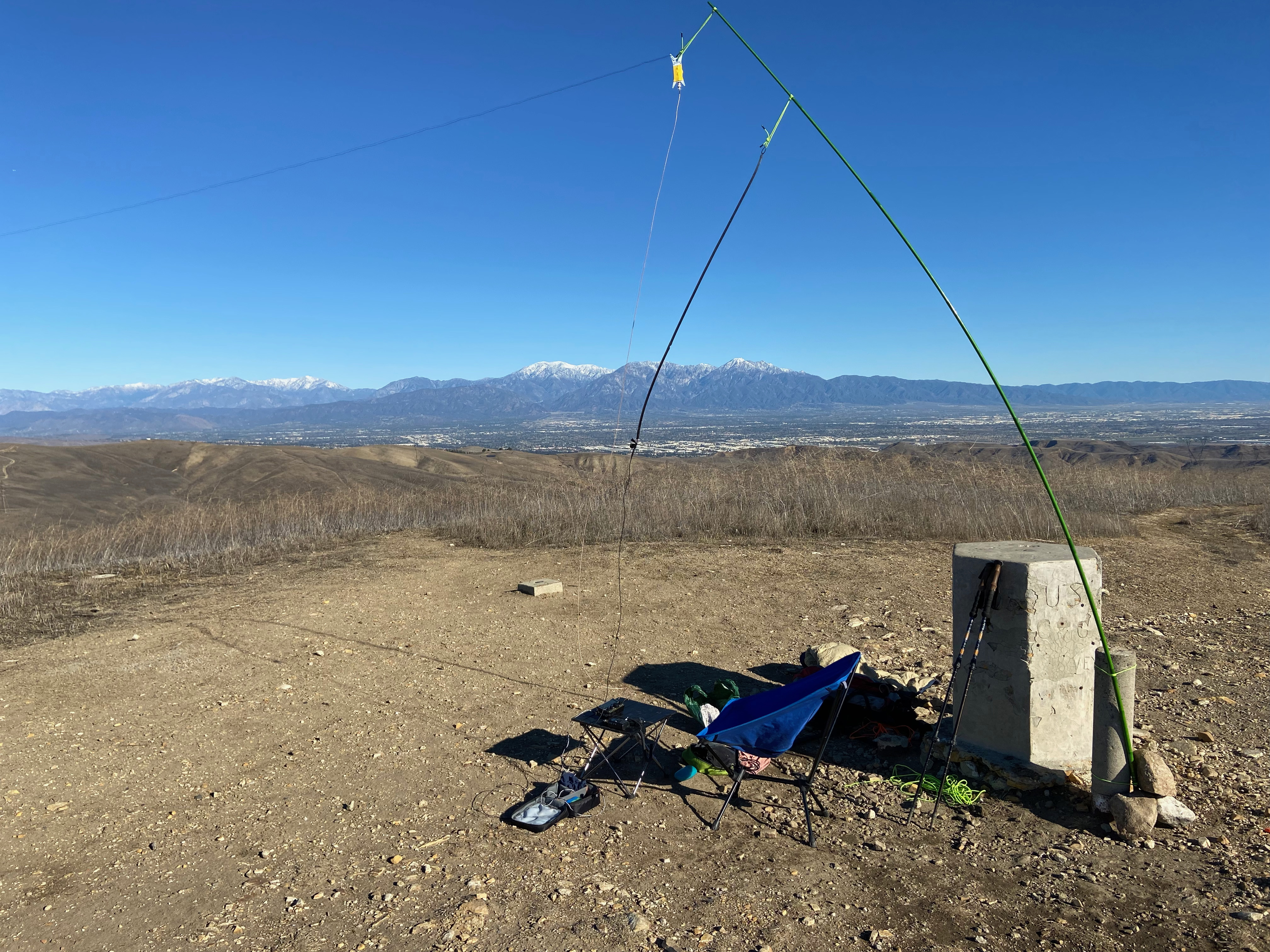
Cell coverage from Verizon was good, as was APRS coverage.
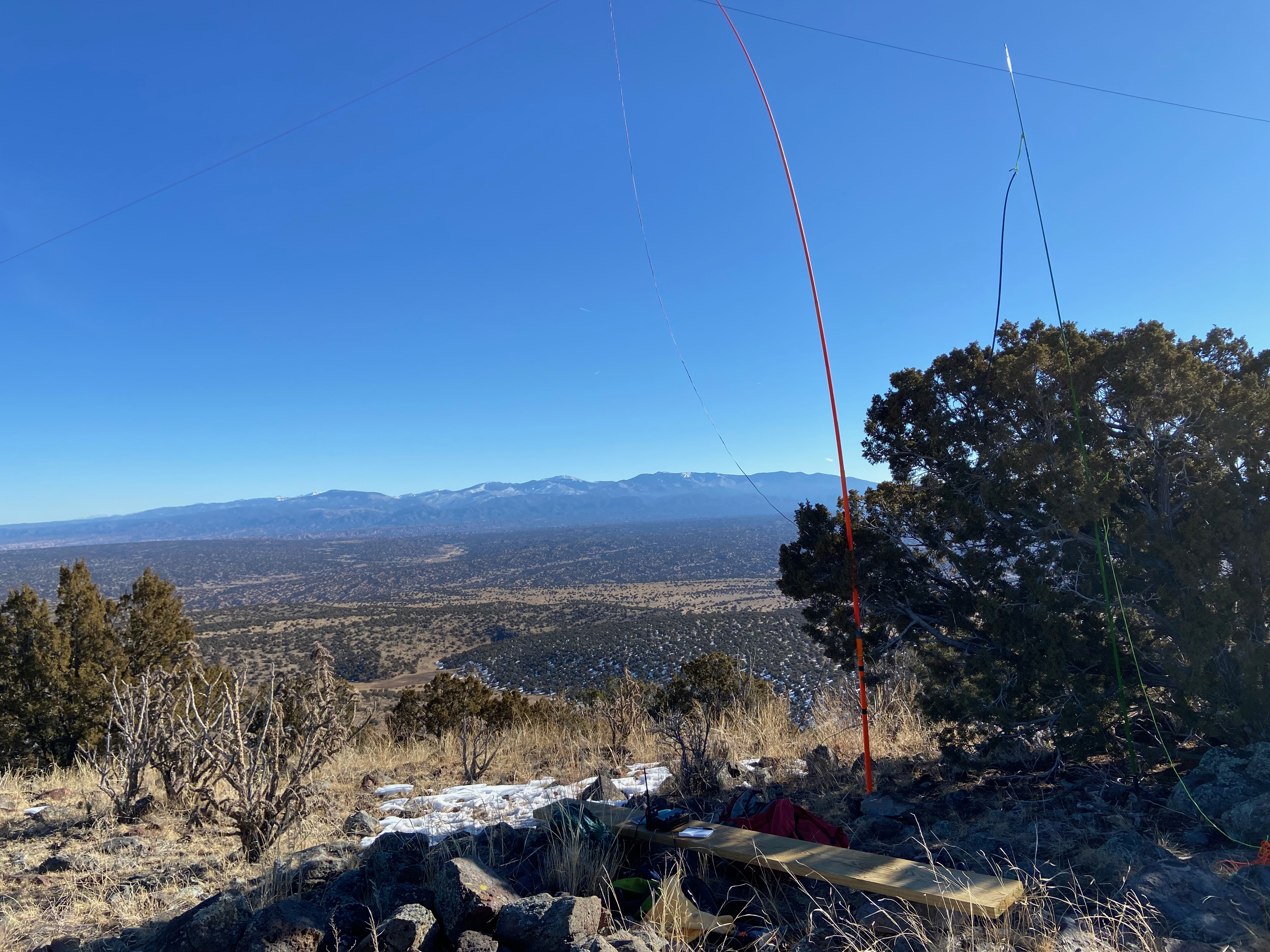
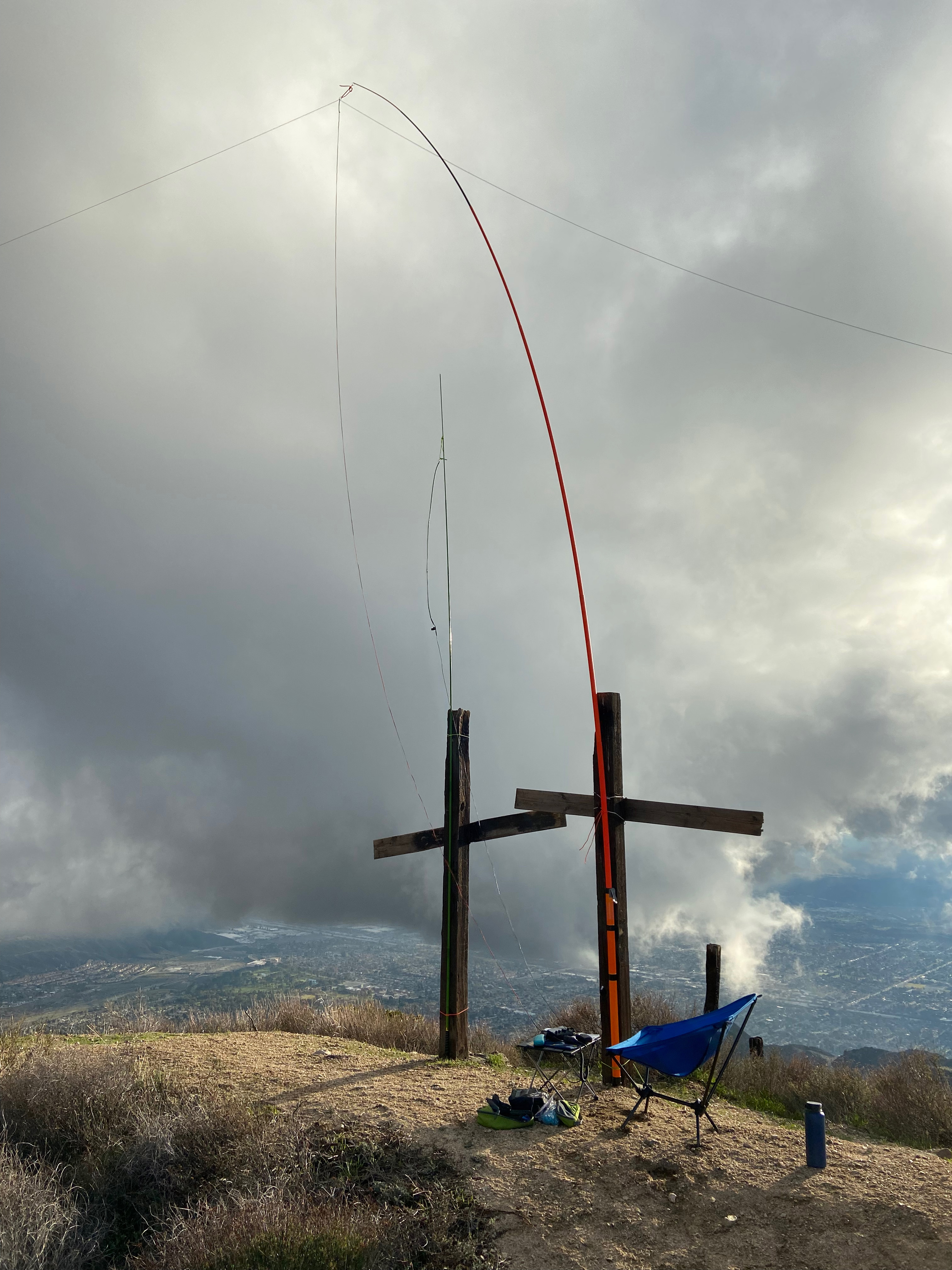
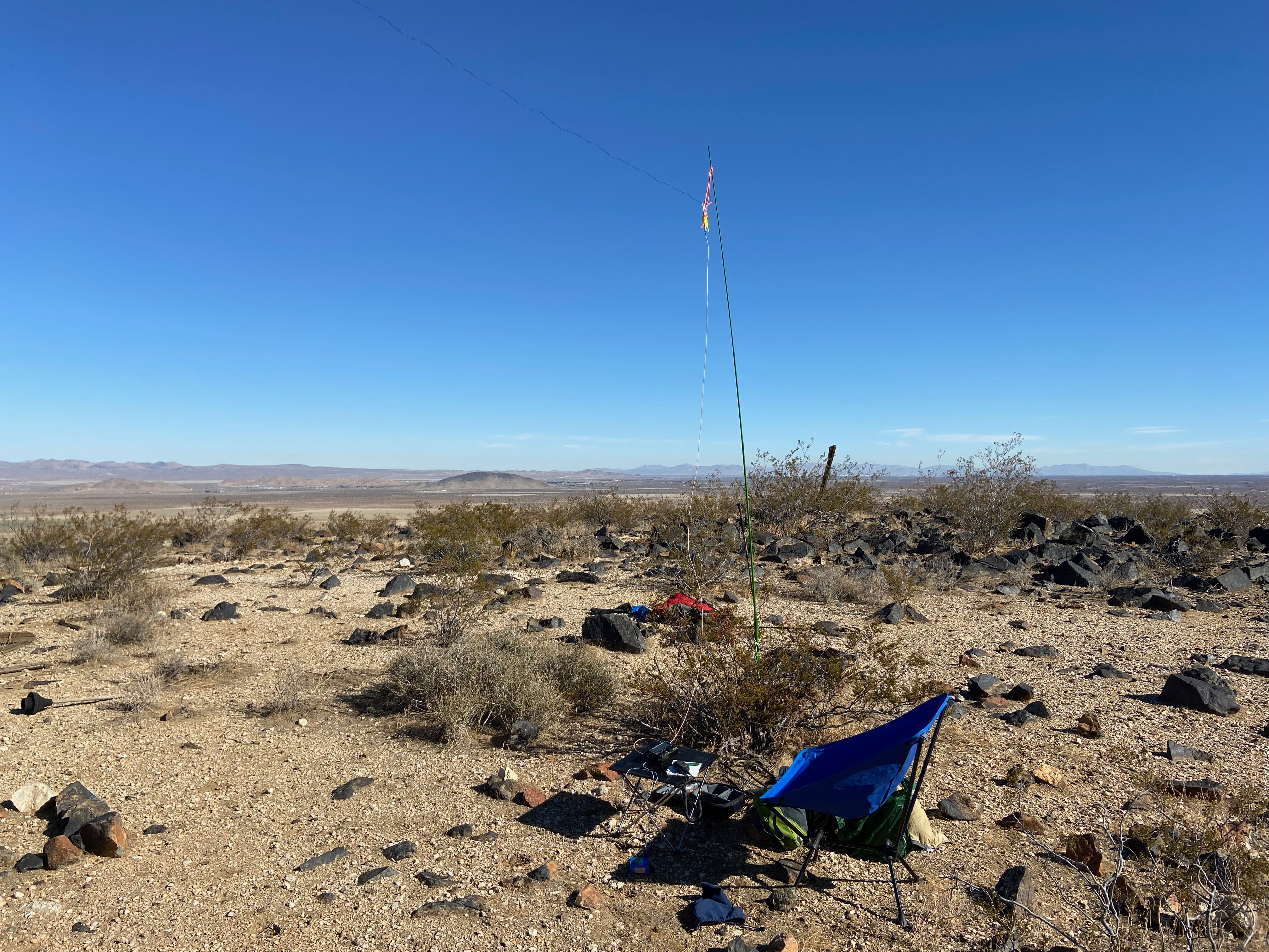
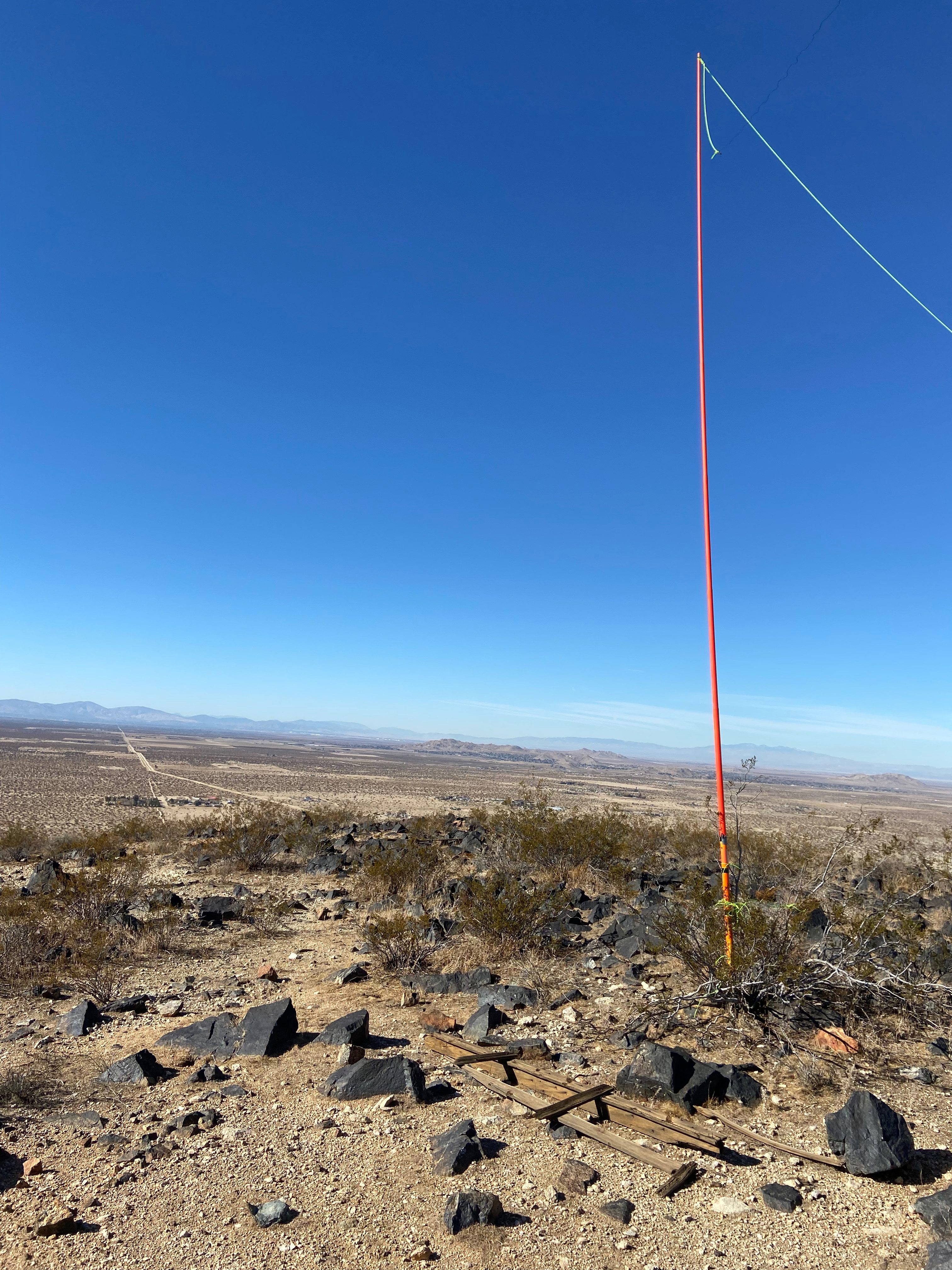
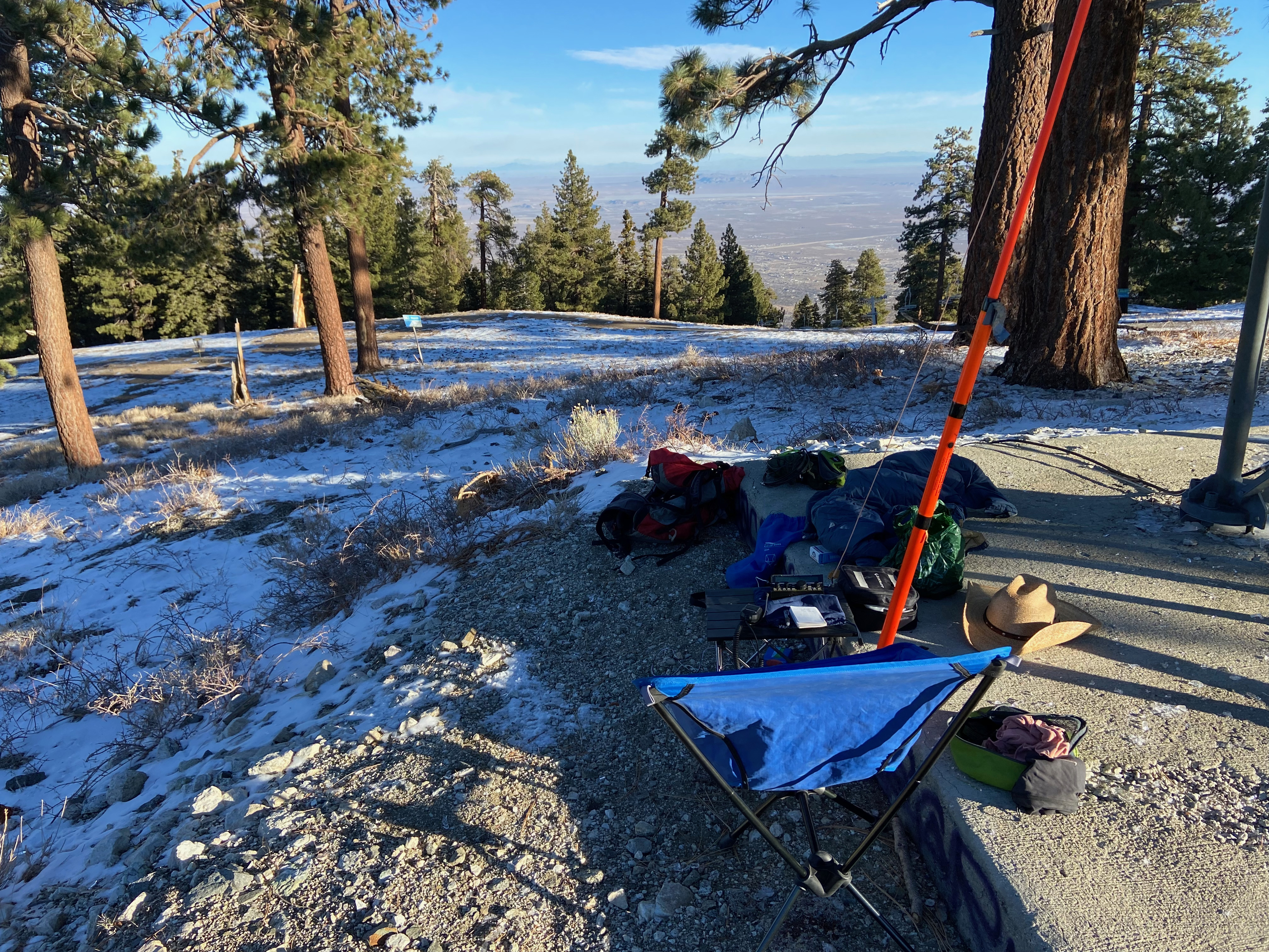
The hike is a short .77 miles with about 500′ of elevation gain. The roads on the map seem to be a little off the actual position. There is a lot of igneous debris and cacti to dodge. On the summit is a nice plank that serves as a bench. There is a makeshift register at the Pankey Benchmark.
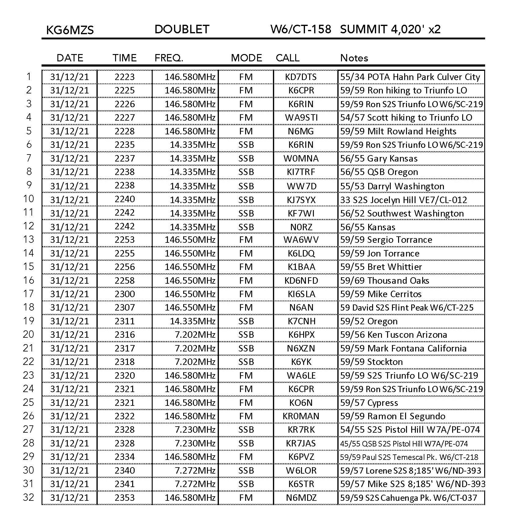
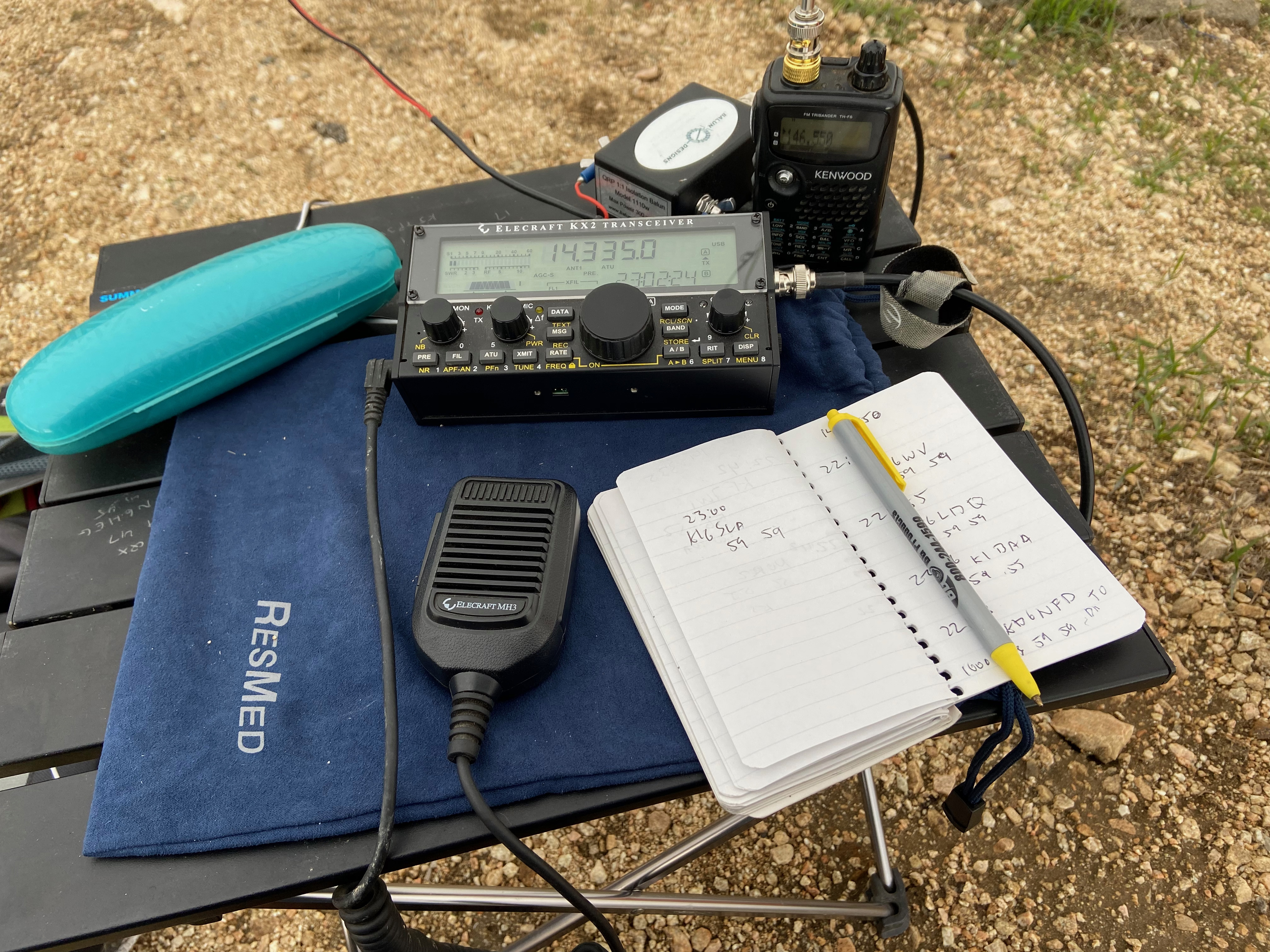
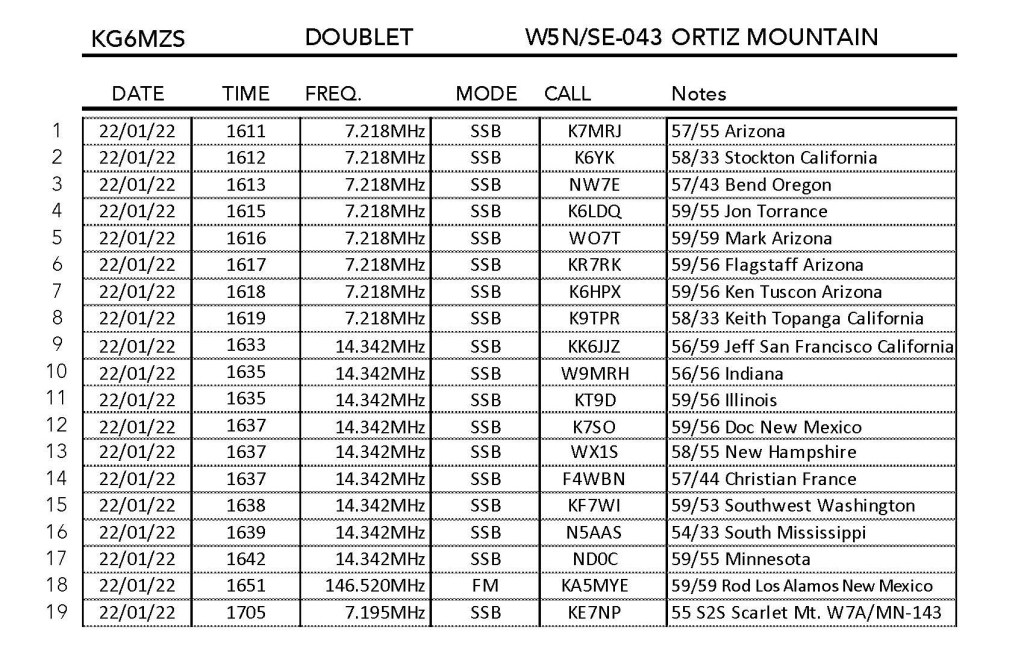
Conditions were pretty good and I managed a summit-to-summit contact at the end.
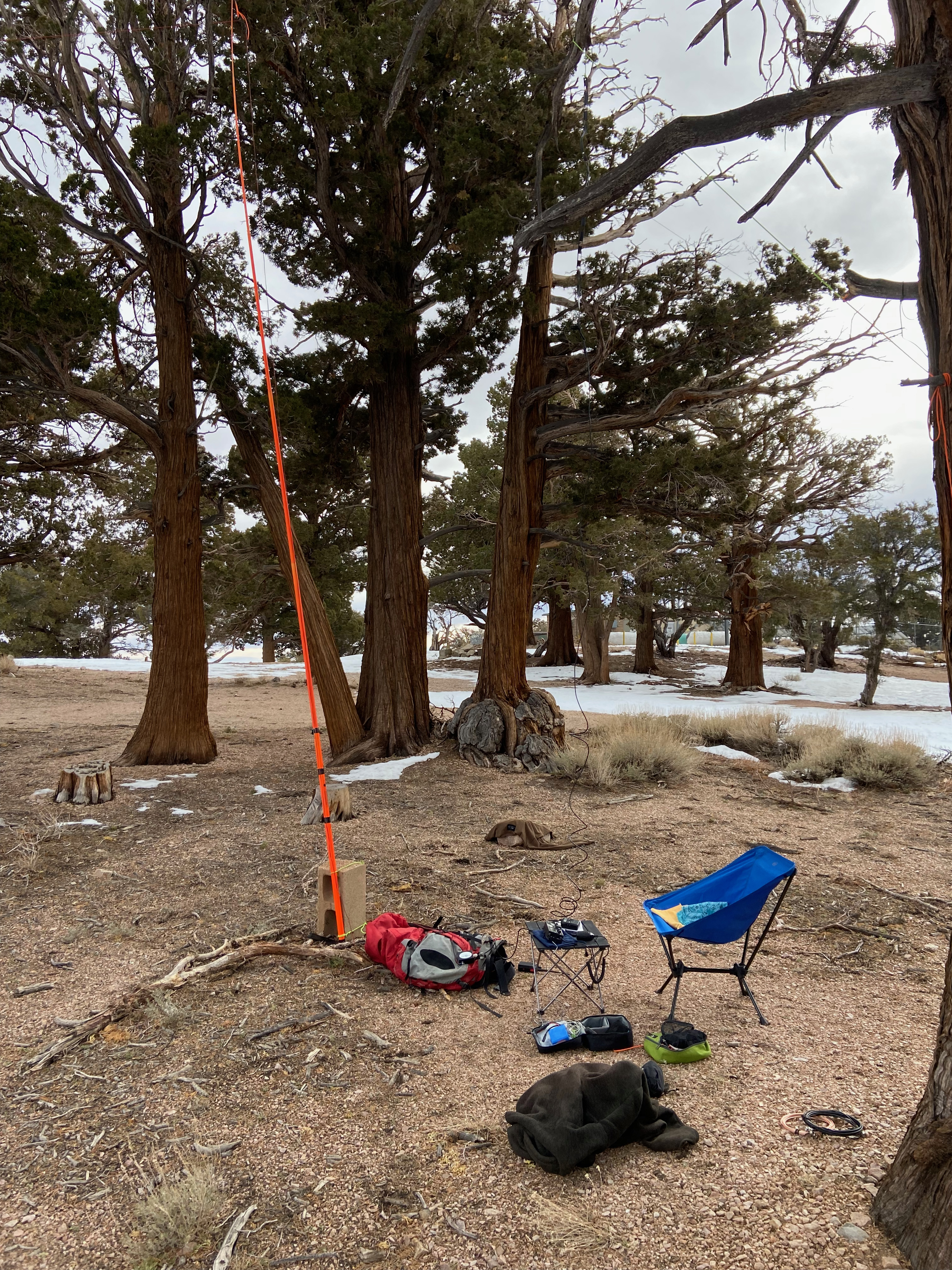
The real treat was as I was just finishing packing up, Alan NM5S and Eugene AF9O appeared. Alan is one of the top SOTA goats in New Mexico and it was fun to pick his brain on the area. I decided to head on over to Montoso Peak and those guys said they would listen for me on 2 meters.