
Looking north at the Agua Dulce Movie Ranch aka Firestone Ranch, Letteau Ranch or Annan Ranch with Mount McDill Behind 9 NOVEMBER 2024 W6/CT-165 Elevation: 3,853′ Route: 4×4 trail Hike Distance: 4.0 miles round trip Elevation Gain: 1000′ Navigation: Easy Steepness: Moderate Vehicle: High clearance suggest for the last bit Road: Good dirt road CellContinue reading “Summit 3,853′”
Tag Archives: Angeles National Forest
Burn Benchmark #2
This sign isn’t kidding. The last half mile of this route is steep! 4 NOVEMBER 2023 W6/CT-271 Elevation: 3,094′ Route: Fire road and motorcycle track Hike Distance: 3.5 miles round trip Elevation Gain: 550′ in and 100′ on the return Navigation: Easy Steepness: Extremely steep at the end Vehicle: Passenger car Road: Good dirt roadContinue reading “Burn Benchmark #2”
Burnt Peak

A partial eclipse of the sun is projected through a pinhole in my logbook’s cover. The spiral spine also creates a series of suns. 14 OCTOBER 2023 W6/CT-093 Elevation: 5,778′ Route: Drive-up if the gates are open Hike Distance: 5.5 miles round trip if the gates are closed Elevation Gain: 1,500′ – 1,000′ in andContinue reading “Burnt Peak”
Summit 4,054′

Summit 4,054′ is a fine looking summit at the end of a steep hike. 15 APRIL 2023 W6/CT-156 Elevation: 4,054′ Route: Cross country and steep training trail Hike Distance: 4 miles round trip Elevation Gain: 2,000′ including 200′ on the return Navigation: A bit tricky to start, then easy Steepness: Steep Vehicle: Passenger car Road:Continue reading “Summit 4,054′”
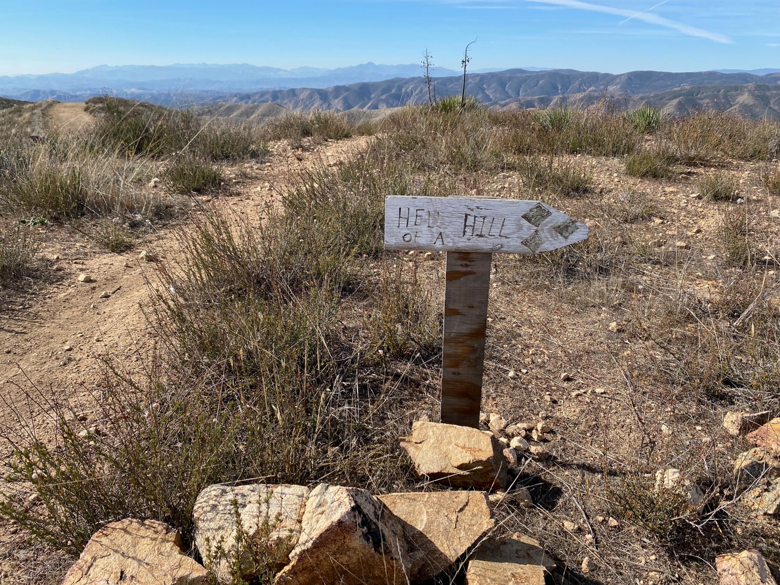
Summit 4,300′
★★☆☆ Pleasant seldom-visited walk. Approach road subject to closure.
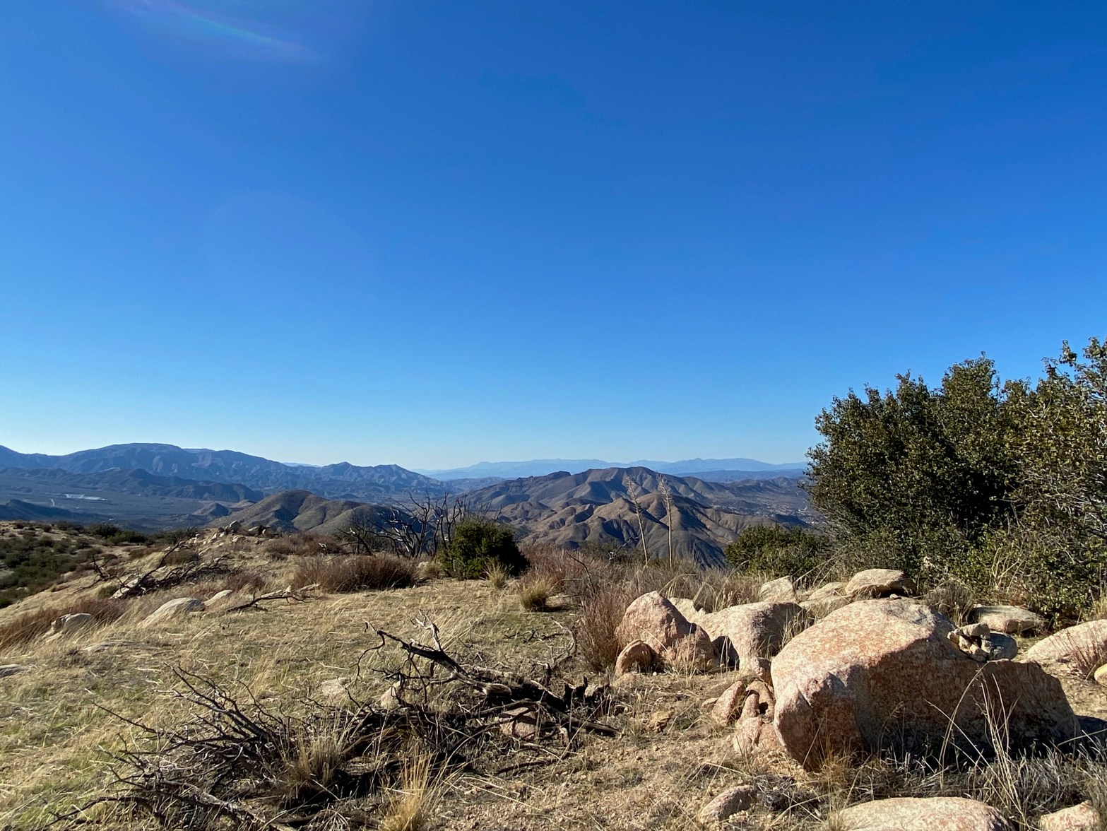
Summit 4,460′

On the Edison road to the summit. 26 NOVEMBER 2022 W6/CT-144 Elevation: 4,460′ Route: Short cross country Hike Distance: .6 miles round trip Elevation Gain: 250′ Navigation: Easy Steepness: gentle Vehicle: SUV High clearance recommended Road: Edison dirt road Cell Coverage: Good (Verizon), APRS Excellent Hike basics This activation didn’t exactly go smoothy but endedContinue reading “Summit 4,460′”
Townsend Peak

A blustery day on Townsend 22 OCTOBER 2022 W6/SC-161 Elevation: 3,182′ Route: Firebreak/use trail Hike Distance: 500′ Elevation Gain: 100′ Navigation: Easy Steepness: Gentle Vehicle: High clearance SUV recommended* Road: Dirt Cell Coverage: Good (Verizon), APRS Excellent Hike basics I was going to activate Bald Mountain for a complete after Burn Benchmark, but Lake ElizabethContinue reading “Townsend Peak”
Burn Benchmark
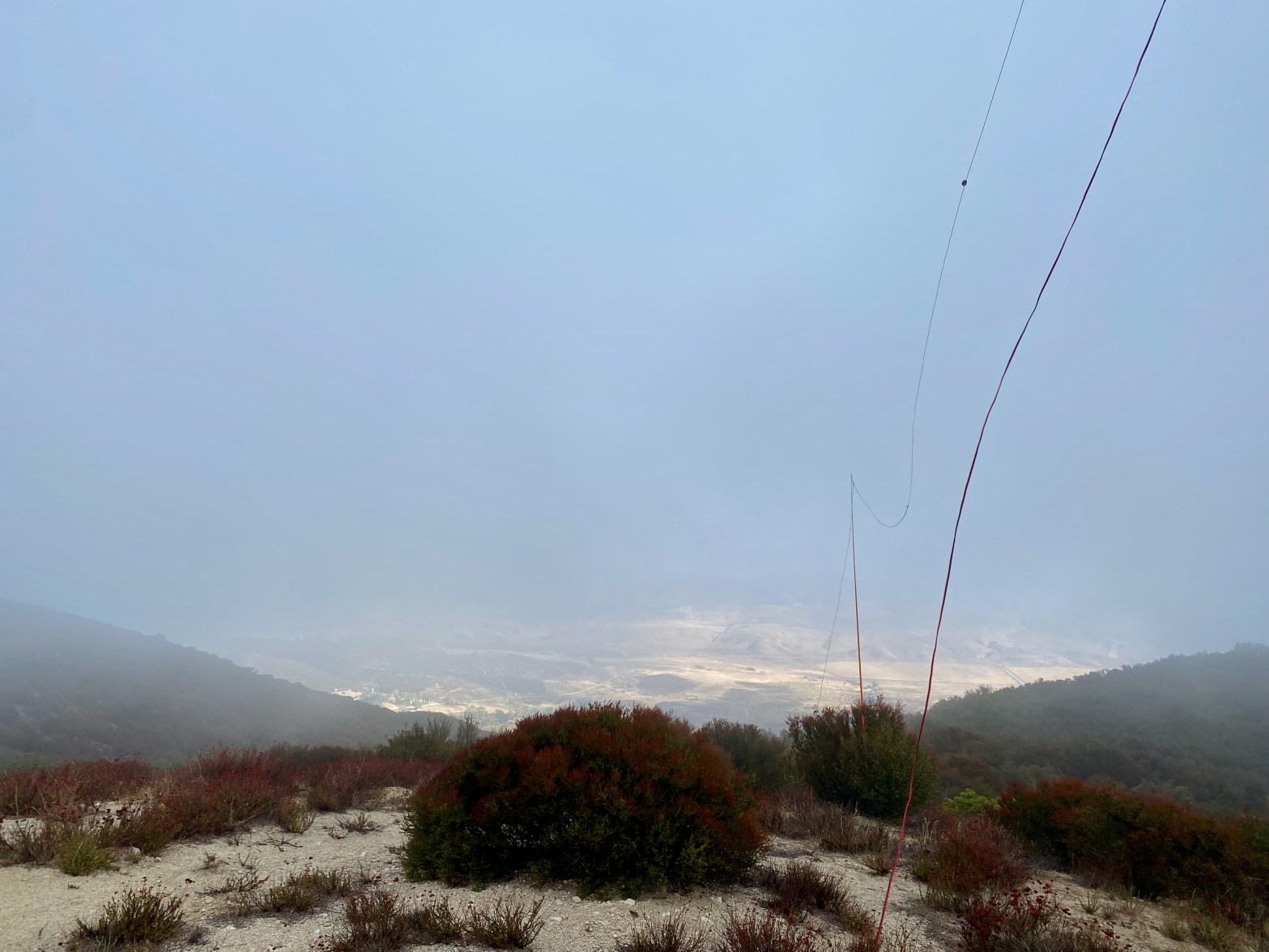
A cold, cloudy and windy morning. The San Andreas Fault Zone and the Leona Valley to the north just under the clouds. 22 OCTOBER 2022 W6/CT-136 Elevation: 4,541′ Route: Short dirt bike trail Hike Distance: .2 miles Elevation Gain: 100′ Navigation: Easy Steepness: Gentle Vehicle: Passenger car* (See below) Road: Forest Service dirt Cell Coverage:Continue reading “Burn Benchmark”
Snow Benchmark

Looking southeast toward “Little” Iron Mountain. Monsoon clouds abound this autumn. 8 OCTOBER 2022 W6/CT-121 Elevation: 4,948′ Route: Very short cross country Hike Distance: 500′ Elevation Gain: 70′ Navigation: Easy Steepness: Easy Vehicle: Passenger car Road: Paved & dirt road with potholes Cell Coverage: Excellent (Verizon), APRS Excellent Hike basics Post to follow. Stay tuned…
Magic Mountain
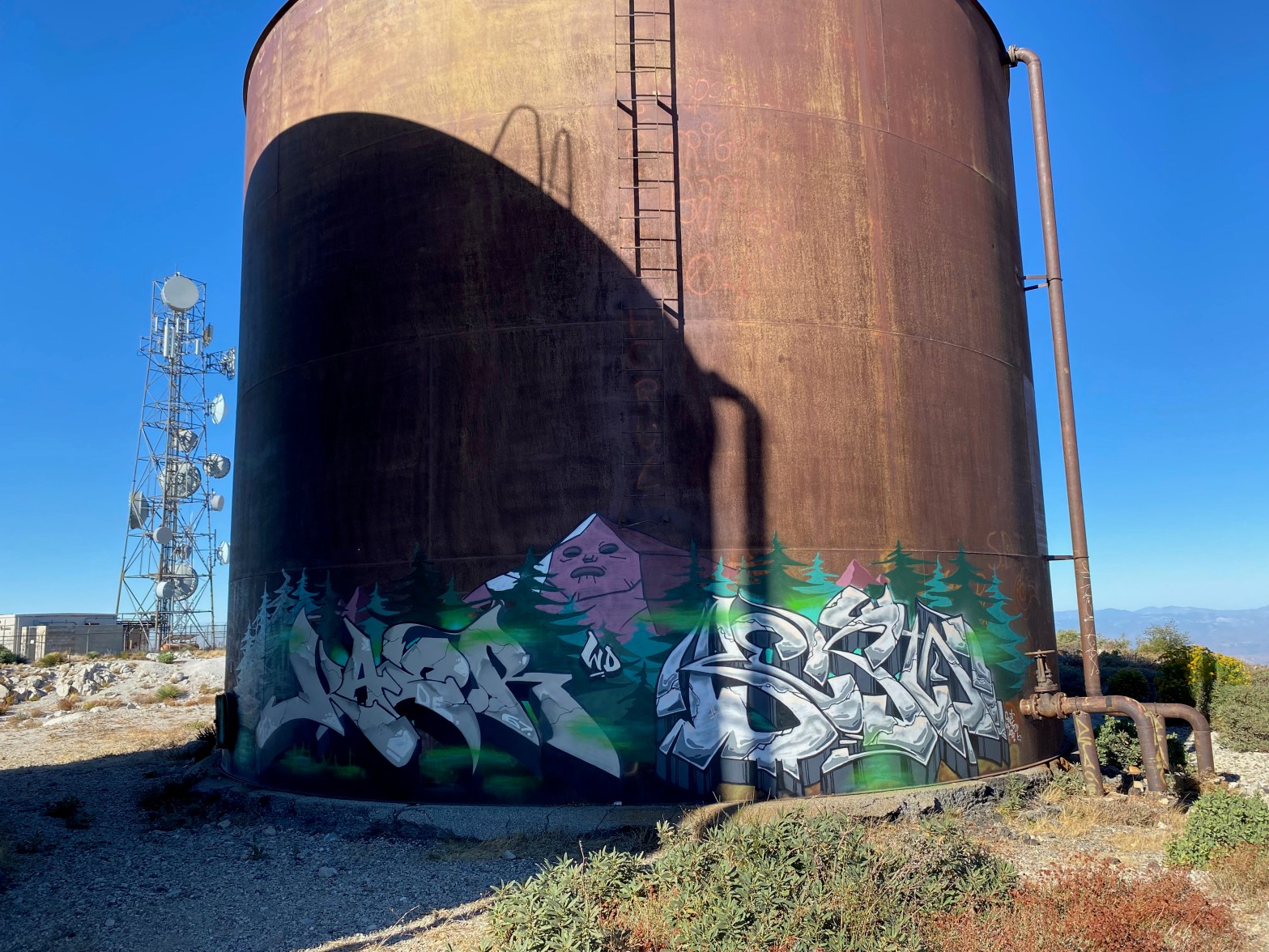
Elaborate street art on a water tank on Magic Mountain 8 OCTOBER 2022 W6/CT-255 Elevation: 4,859′ Route: Drive-up Hike Distance: 500′ Elevation Gain: n/a Navigation: Easy Steepness: Easy Vehicle: Passenger car Road: Paved road with potholes Cell Coverage: Excellent (Verizon), APRS Excellent Hike basics Post to follow – Stay tuned…
