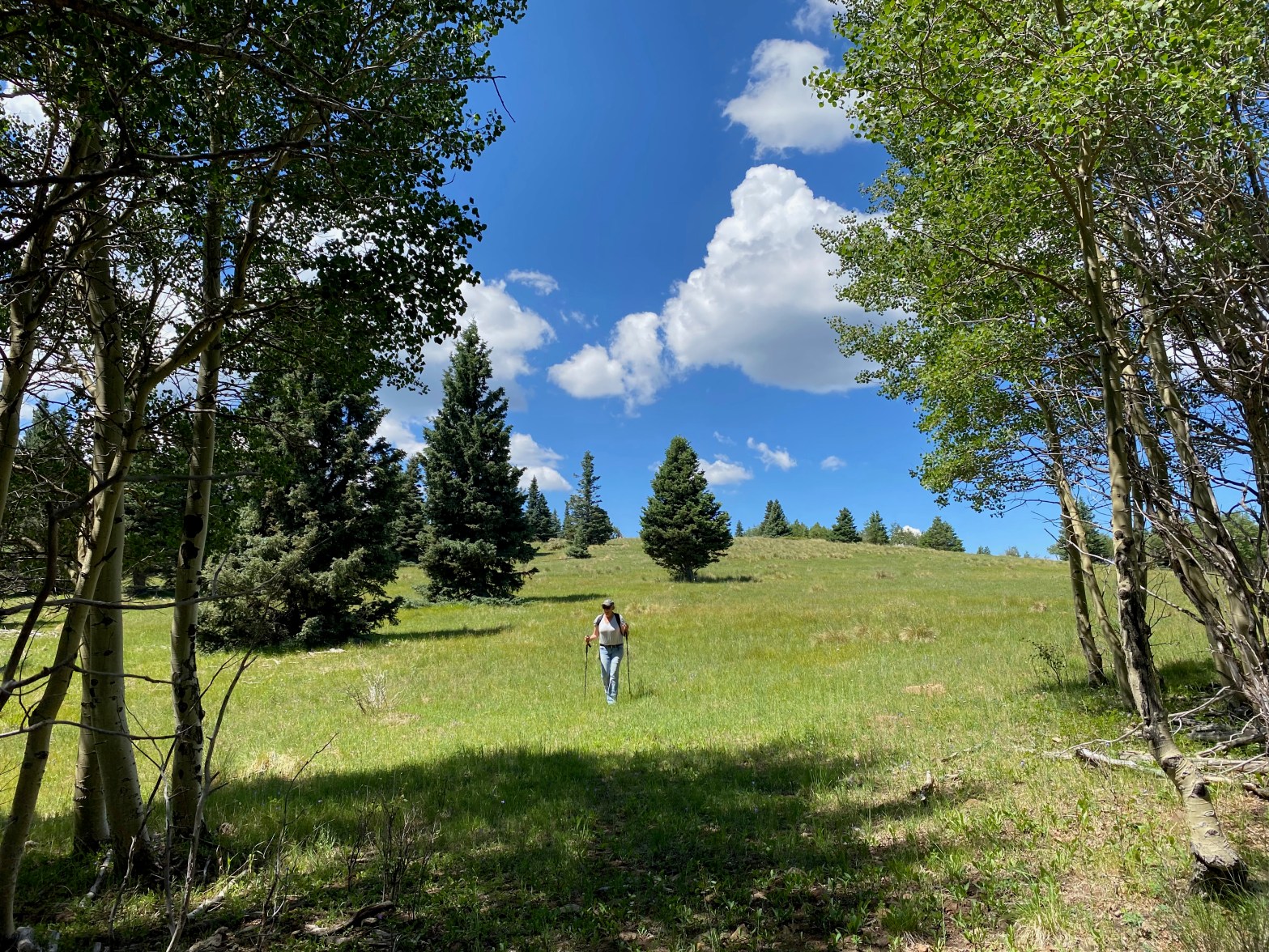
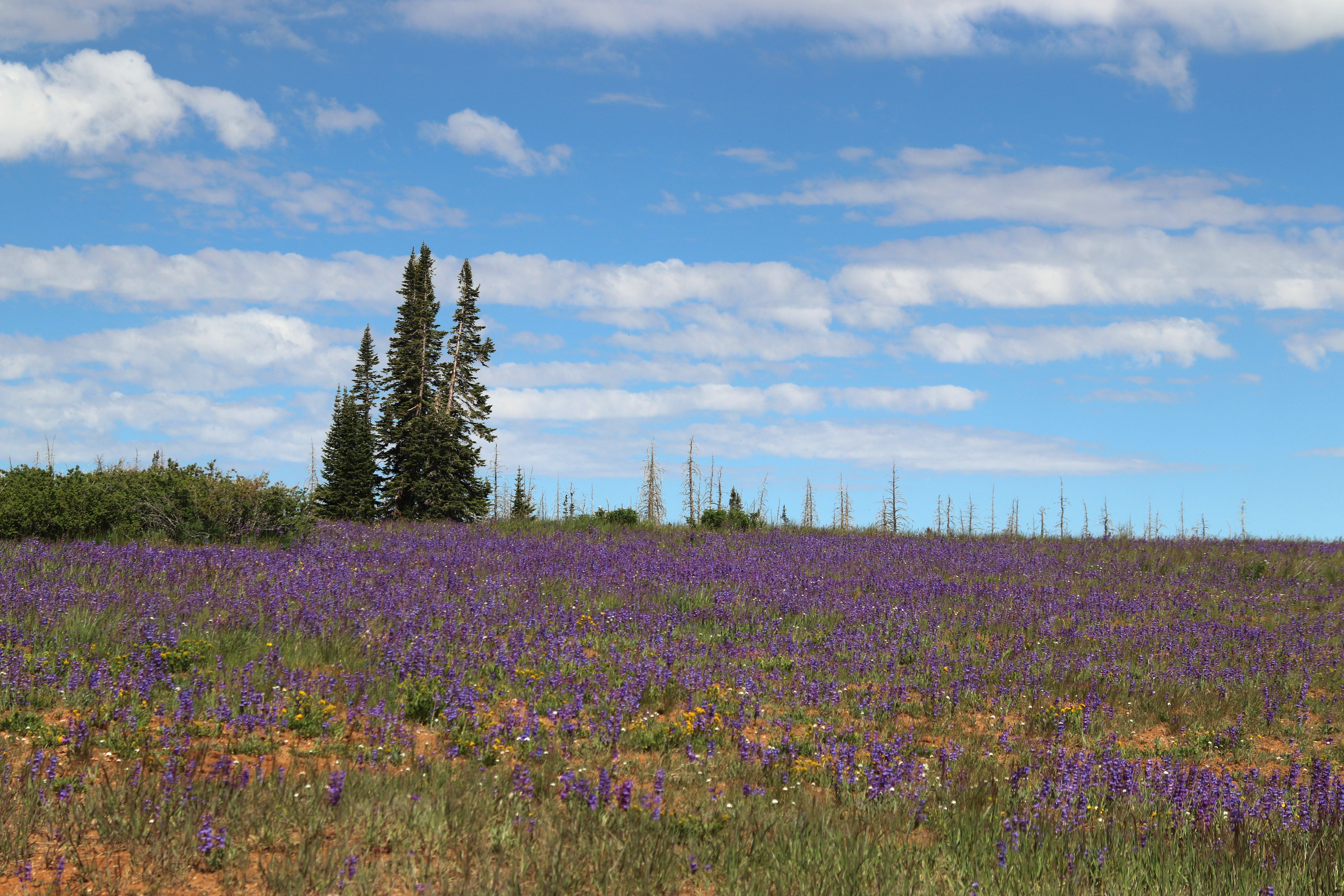
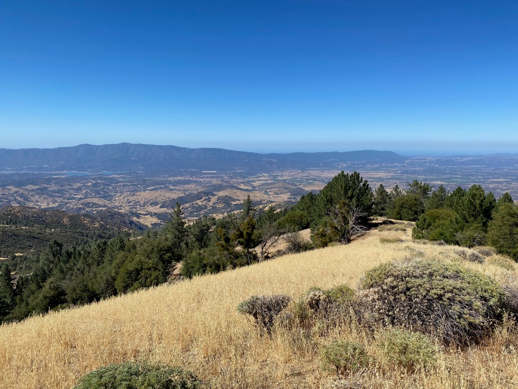
Cassie (KG6MZR) makes her way down through an alpine meadow near the top of Sierra de Don Fernando.
17 JULY 2022 W5N/SS-024
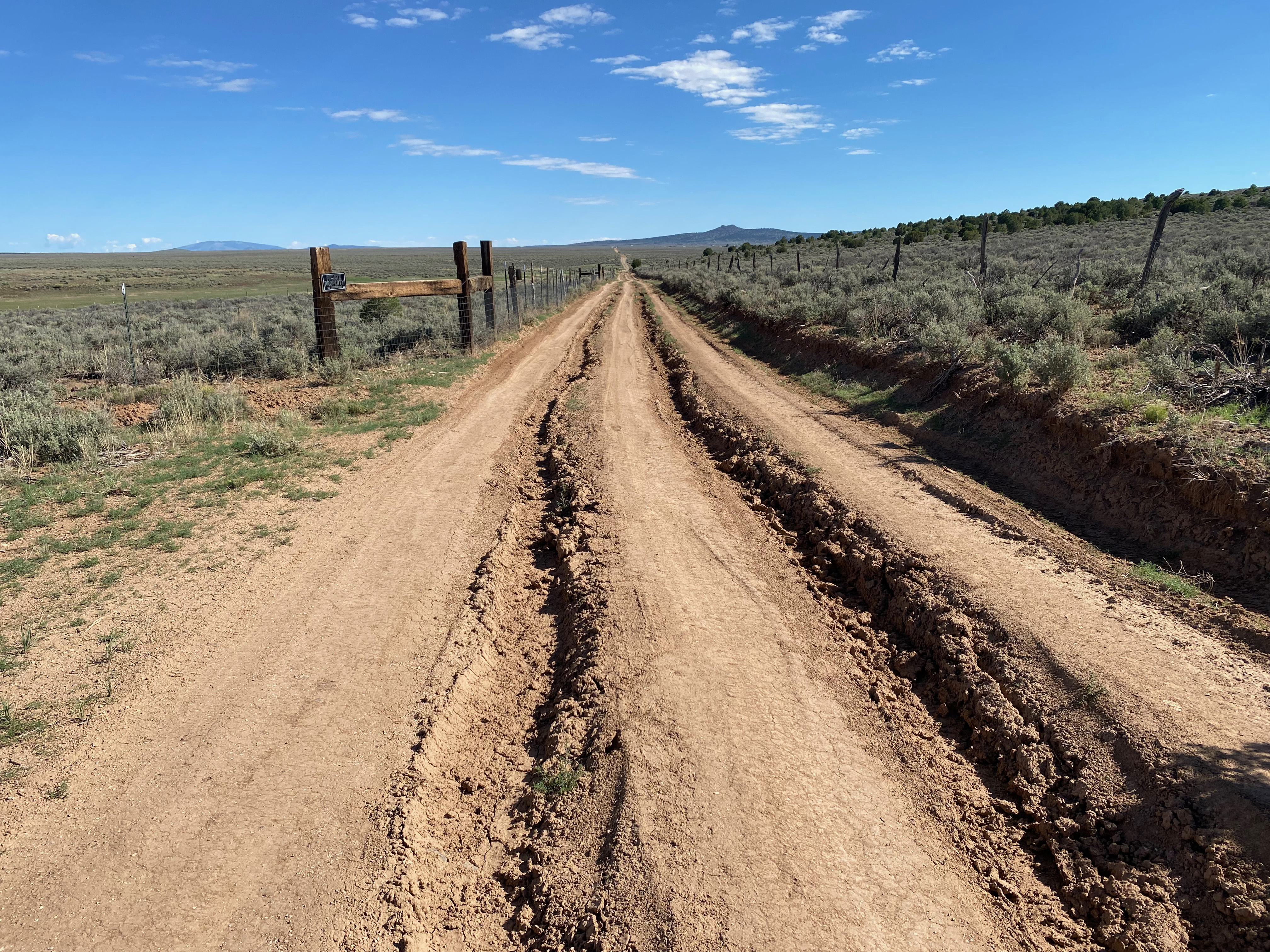
| Route: | Forest service road & cross country on use and game trails |
| Hike Distance: | 3 miles round trip |
| Elevation Gain: | 300′ |
| Navigation: | Moderate |
| Steepness: | Easy |
| Vehicle: | Passenger car |
| Road: | Rough dirt road |
| Coverage: | Good data (Verizon) & excellent APRS |
I can now see why this summit is so popular: it is a very pleasant, near level walk through beautiful aspens and pines and firs to a wide open summit with great support trees. Cassie (KG6MZR) and I were looking for an easy Sunday stroll near Taos so we took a look at Sierra de Don Fernando on the advice of Fred KT5X. We wanted a hike that we could be down off of before the afternoon monsoon rolled in and the lightning bolts started flying. As it turned out this was an all-too-valid concern. We got a late start (for me) leaving Cassie’s casita about 7AM.
We followed KT5X’s excellent directions for the most part, varying a little the last half mile.
The hike follows the closed forest road 445 but at some point you need to strike out to the south to gain the summit. We left FS road at about the one mile mark and found our way among the old woodcutter tracks, use trails and elk track. We came down a more defined road.
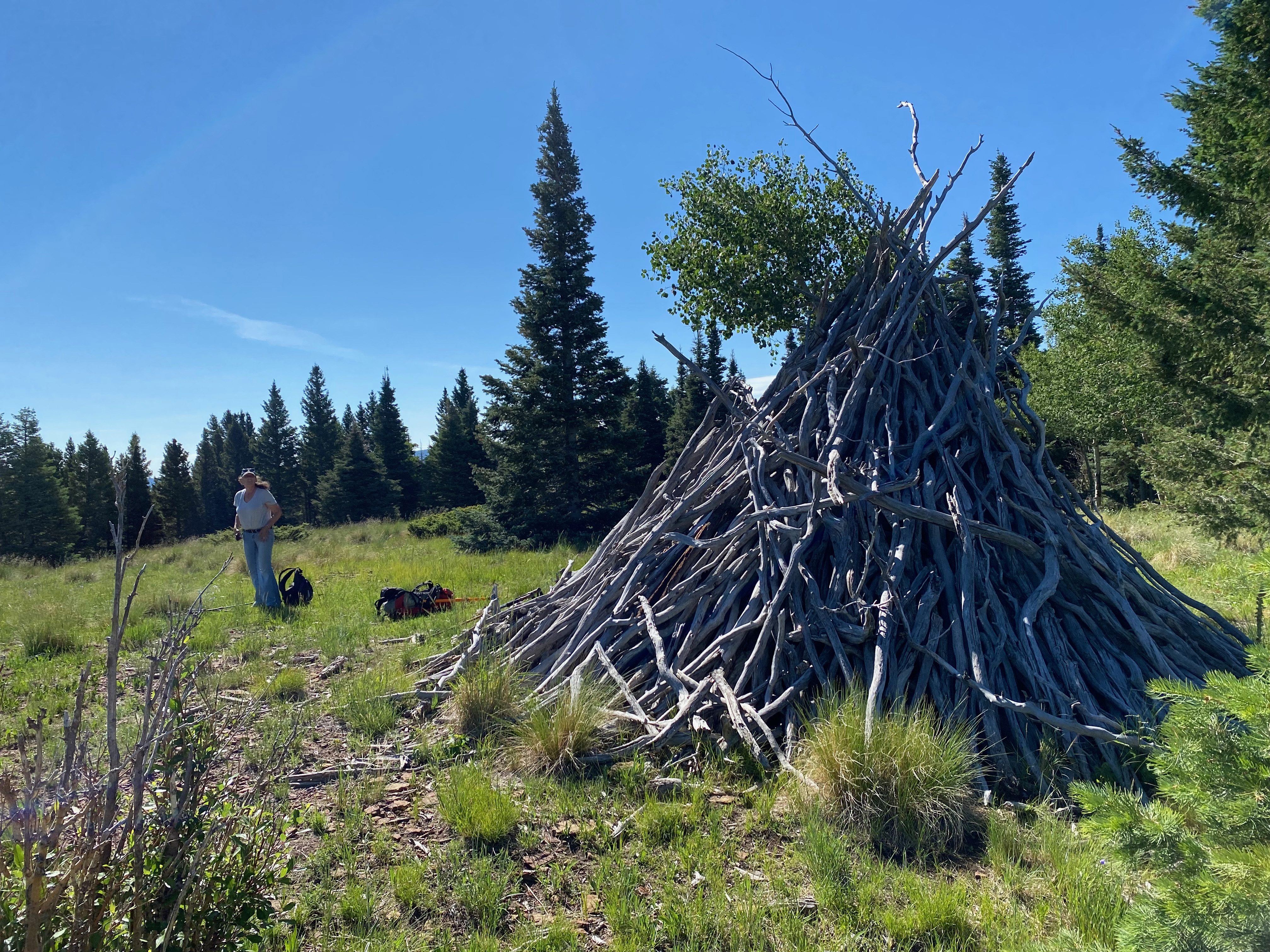
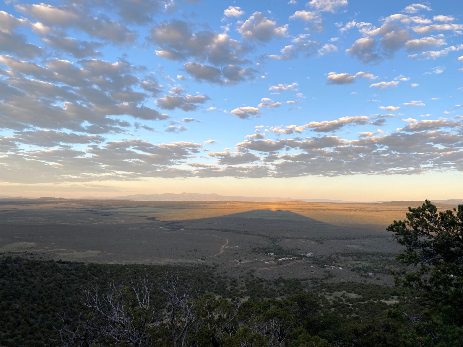
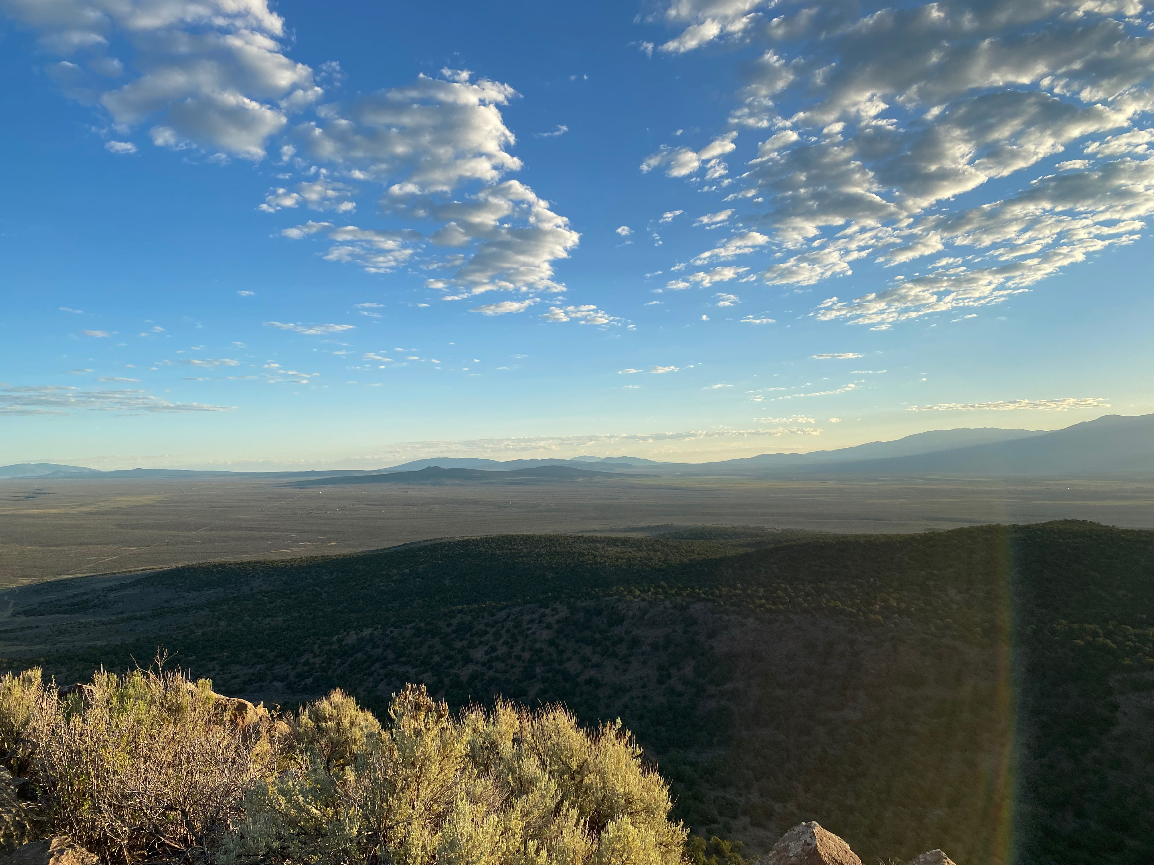
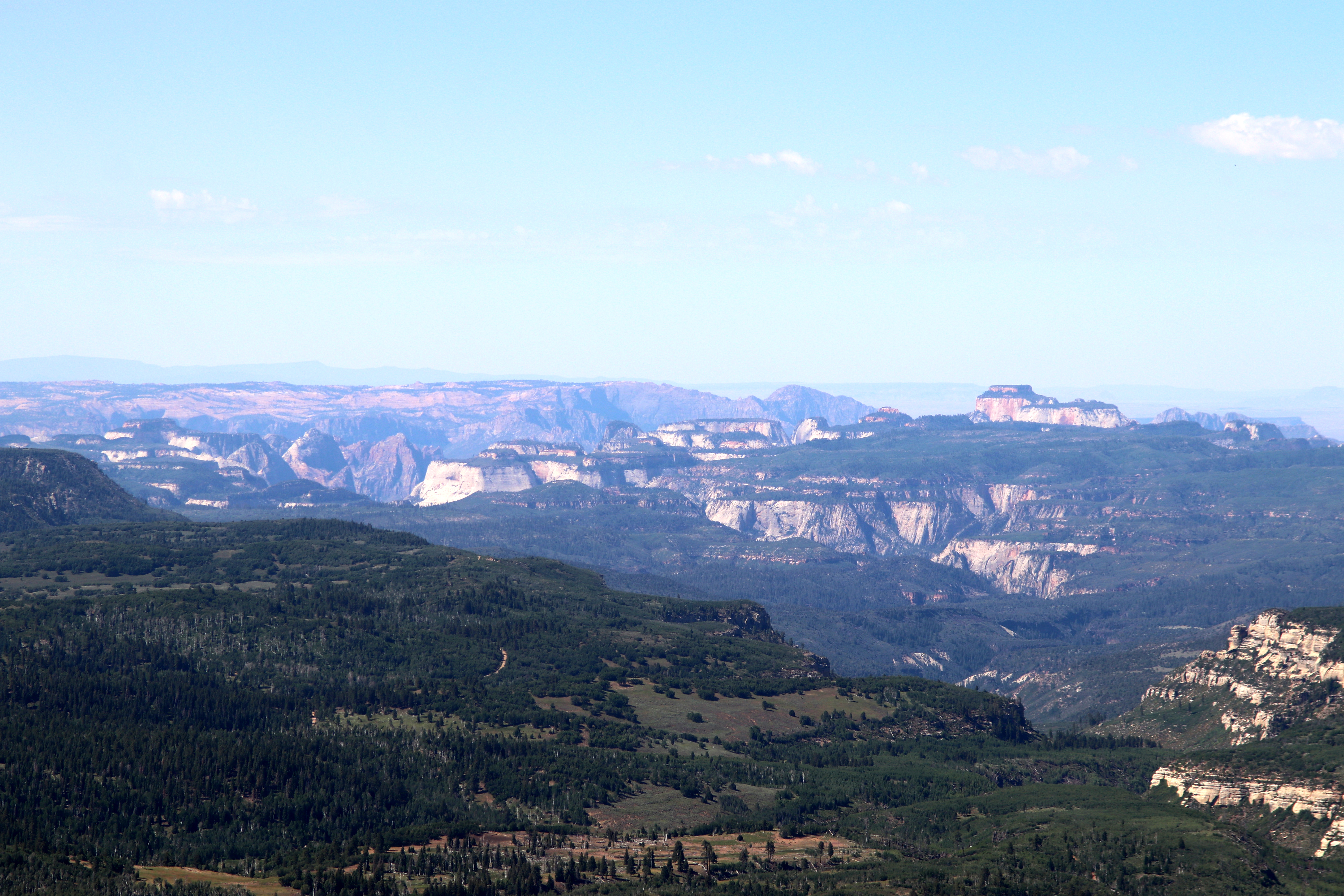
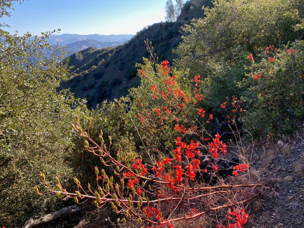
There is broad alpine meadow on the gentle north slope of the summit with wonderdul views to the north of Wheeler, Pueblo and the surrounding peaks.
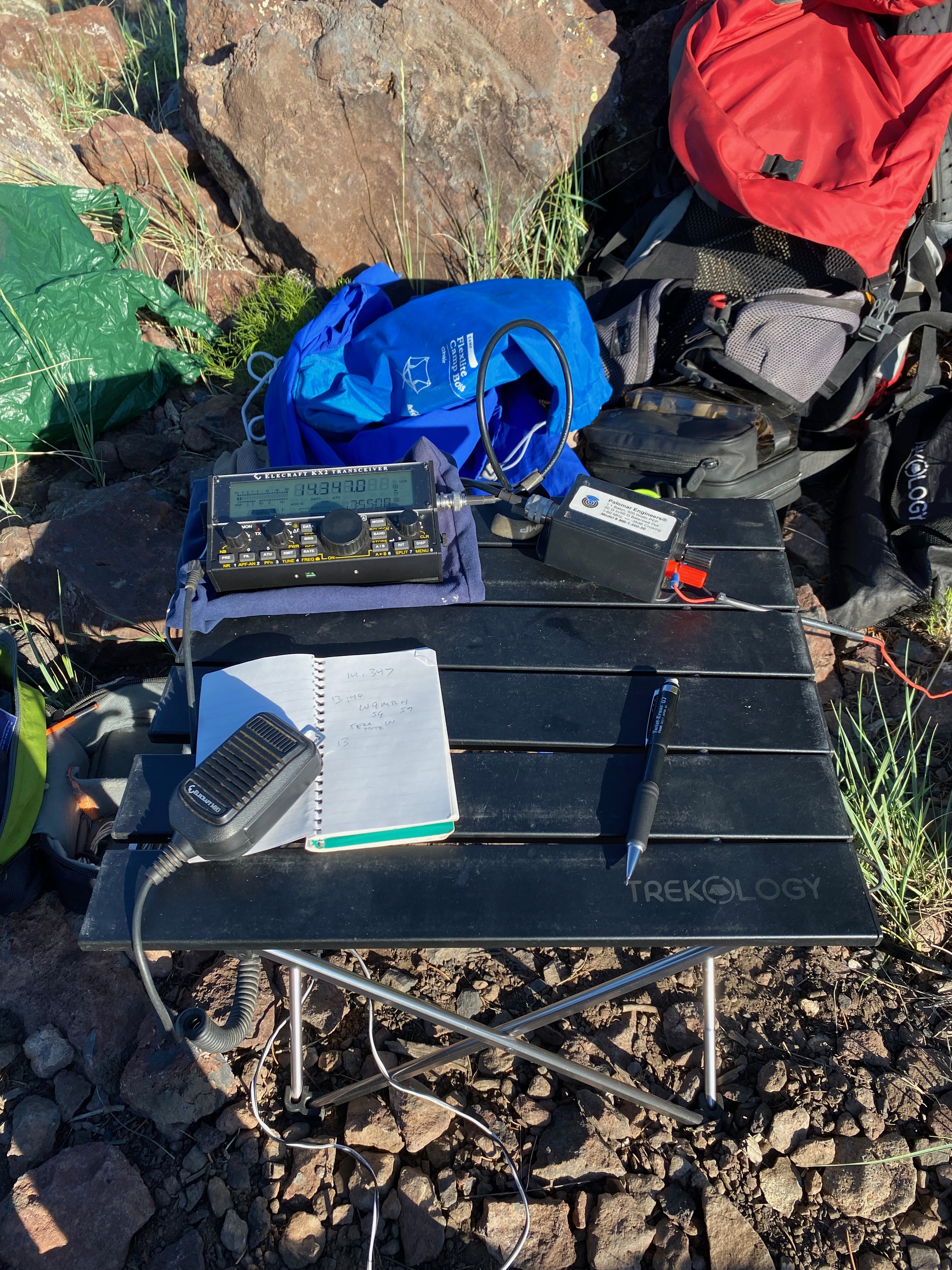
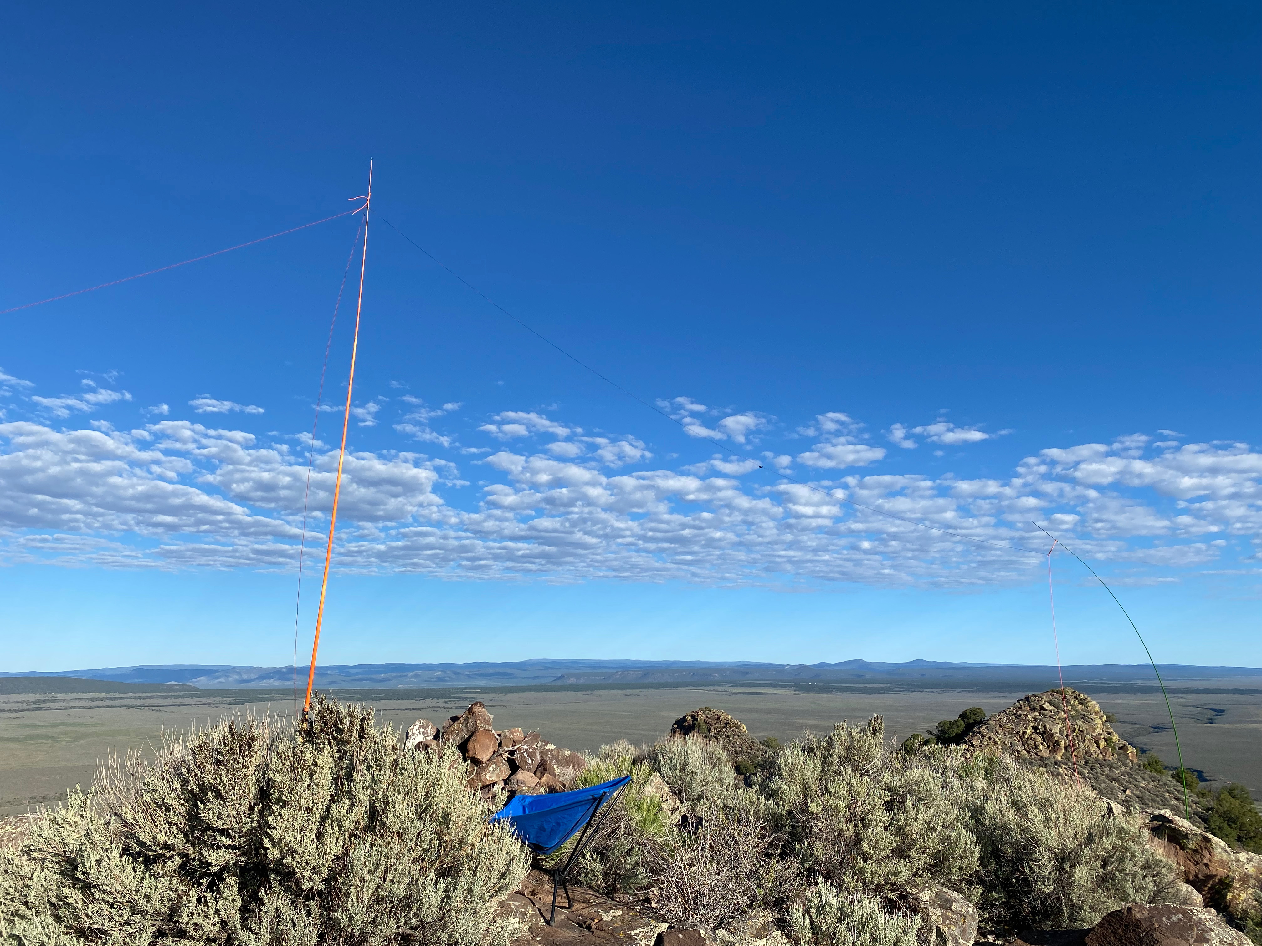
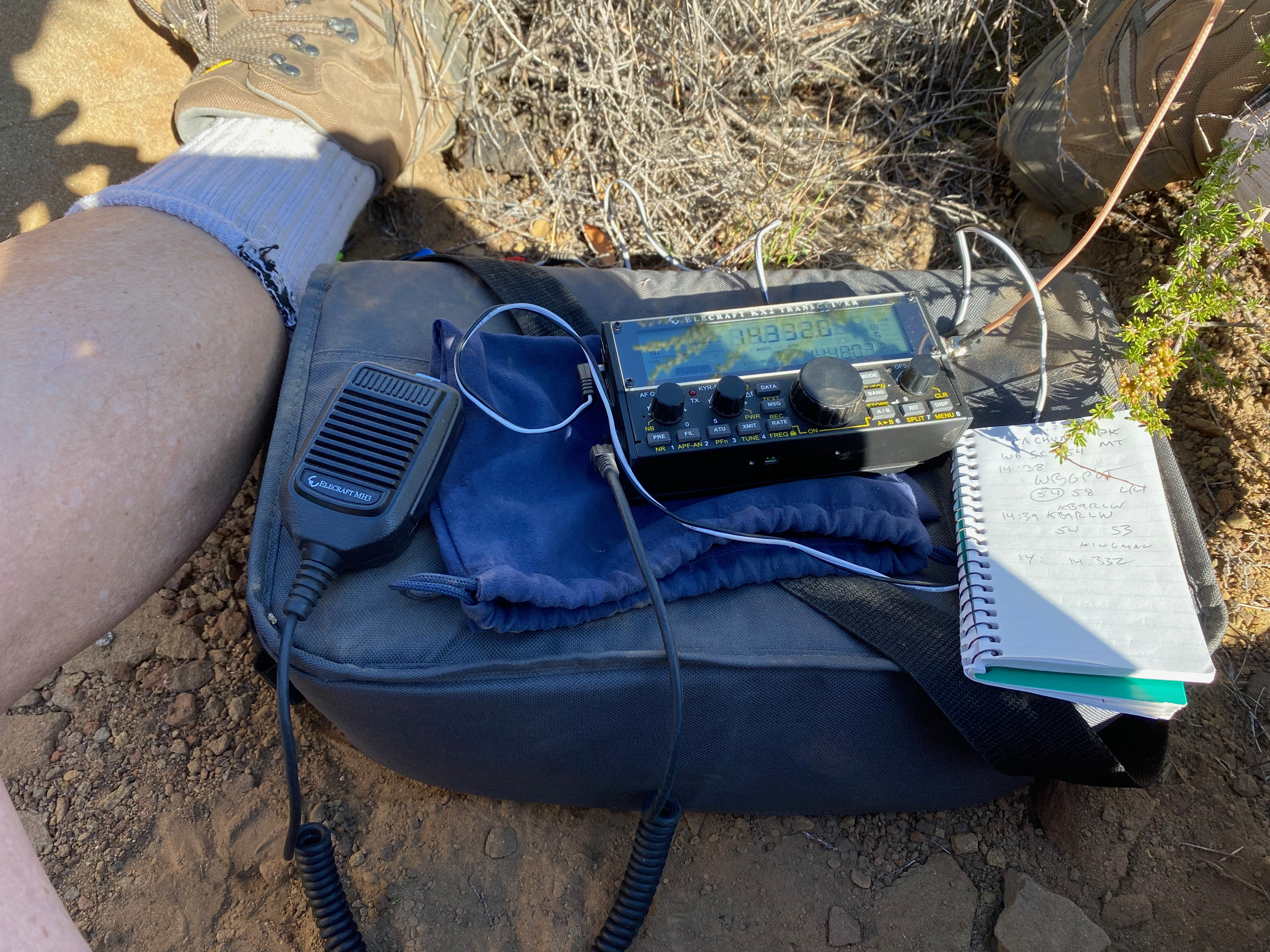
Radio conditions were poor and the building cumulus clouds curtailed my activation. On the trip back we decided to do the so-called “”Enchanted Circle” and go back through Angel Fire, Eagle’s Nest and Red River. As we climbed Bobcat Pass a tremendous thundershower struck with lightning everywhere and a drowning rain. The windshield wipers could not keep up even on the fastest speed. There were visible lightning strikes very close by. We were wise to get off the mountain as soon as we did,


Leave a comment