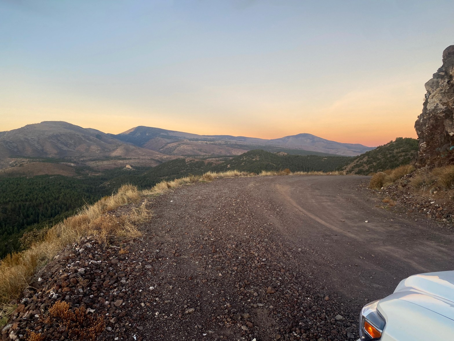
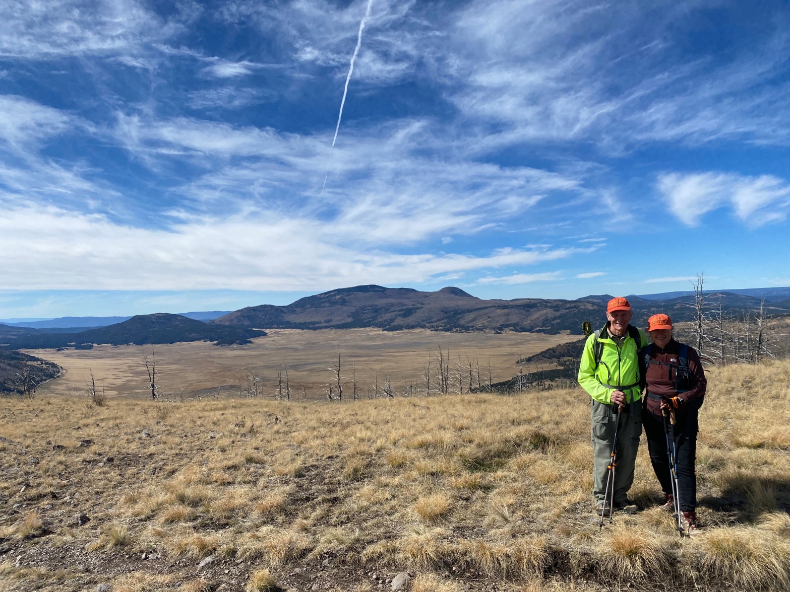
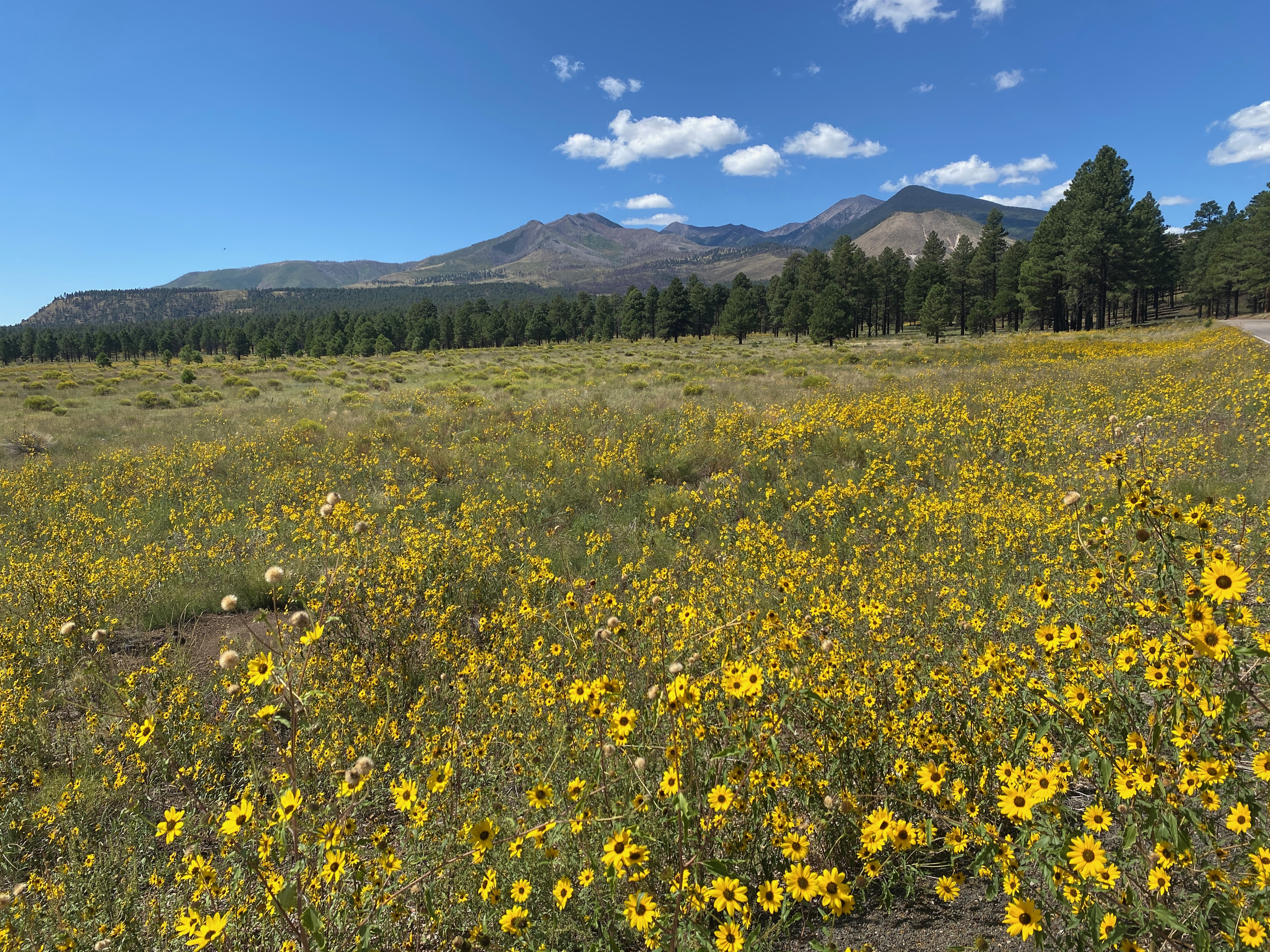
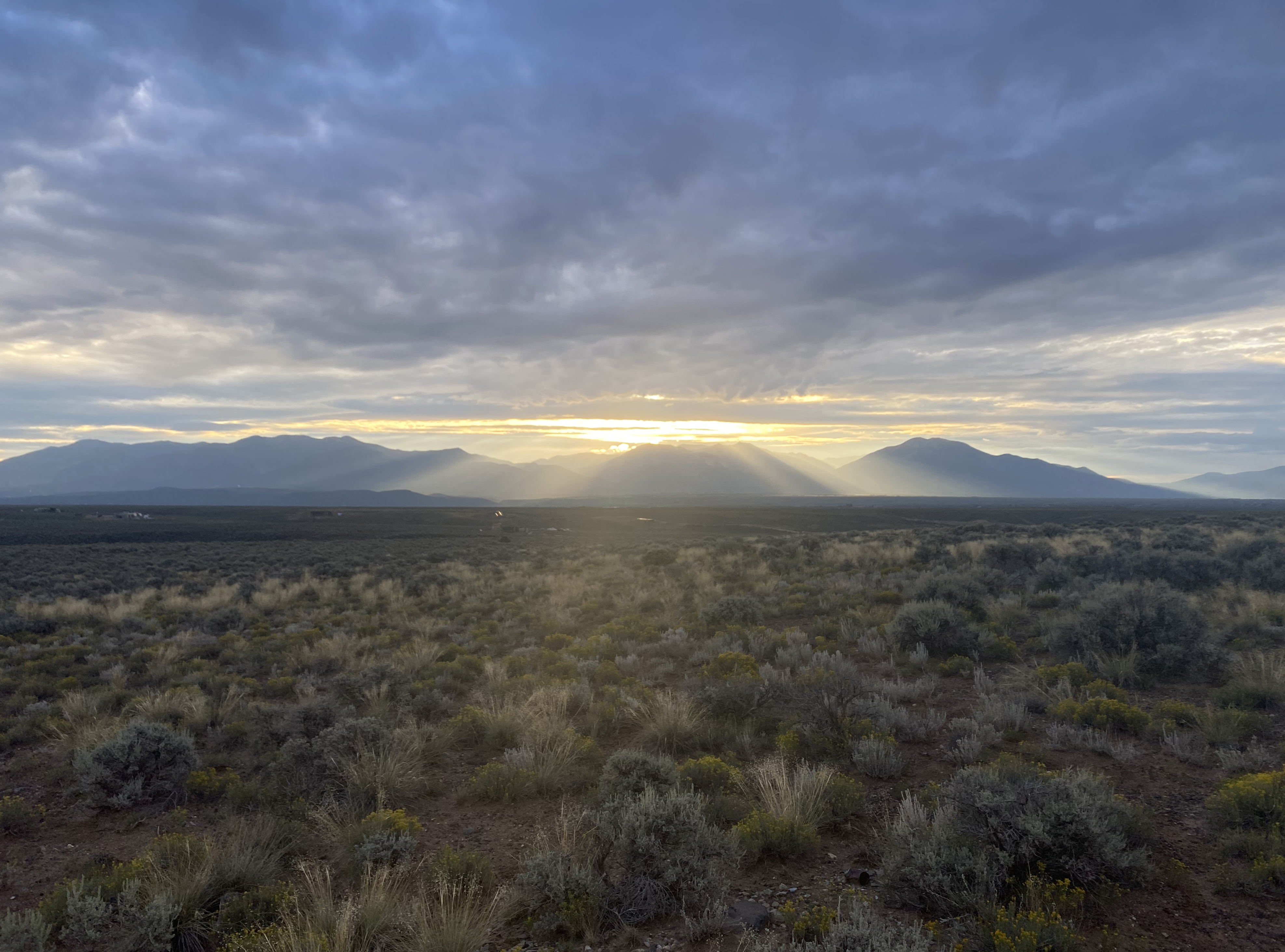
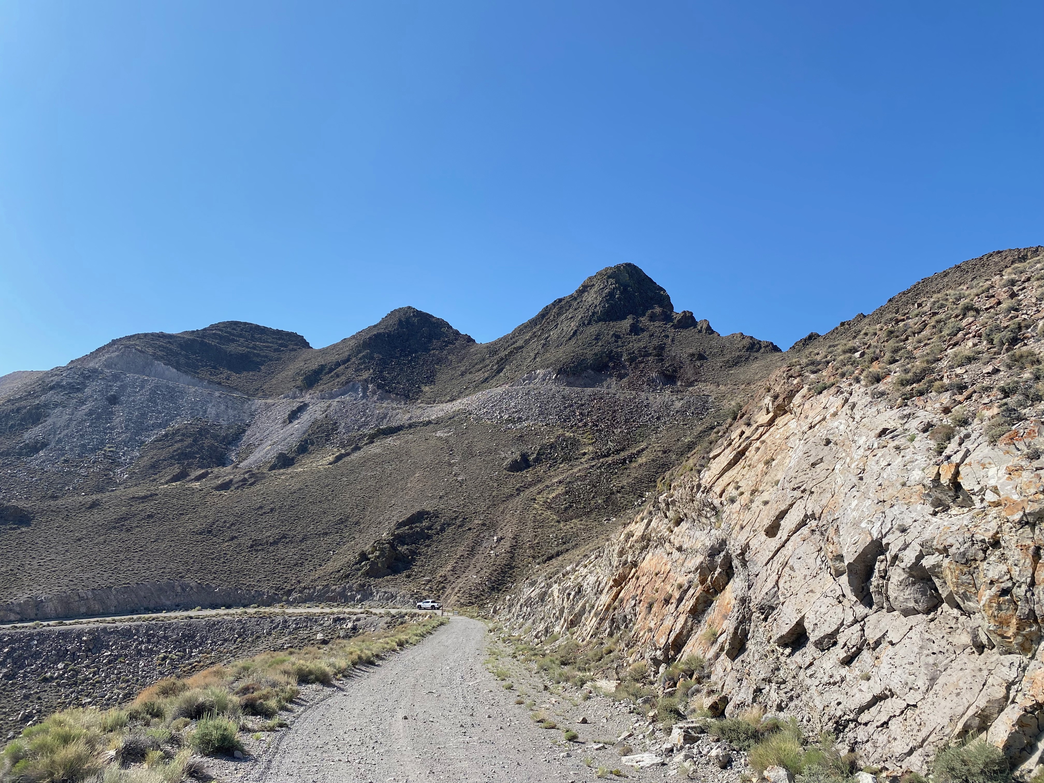
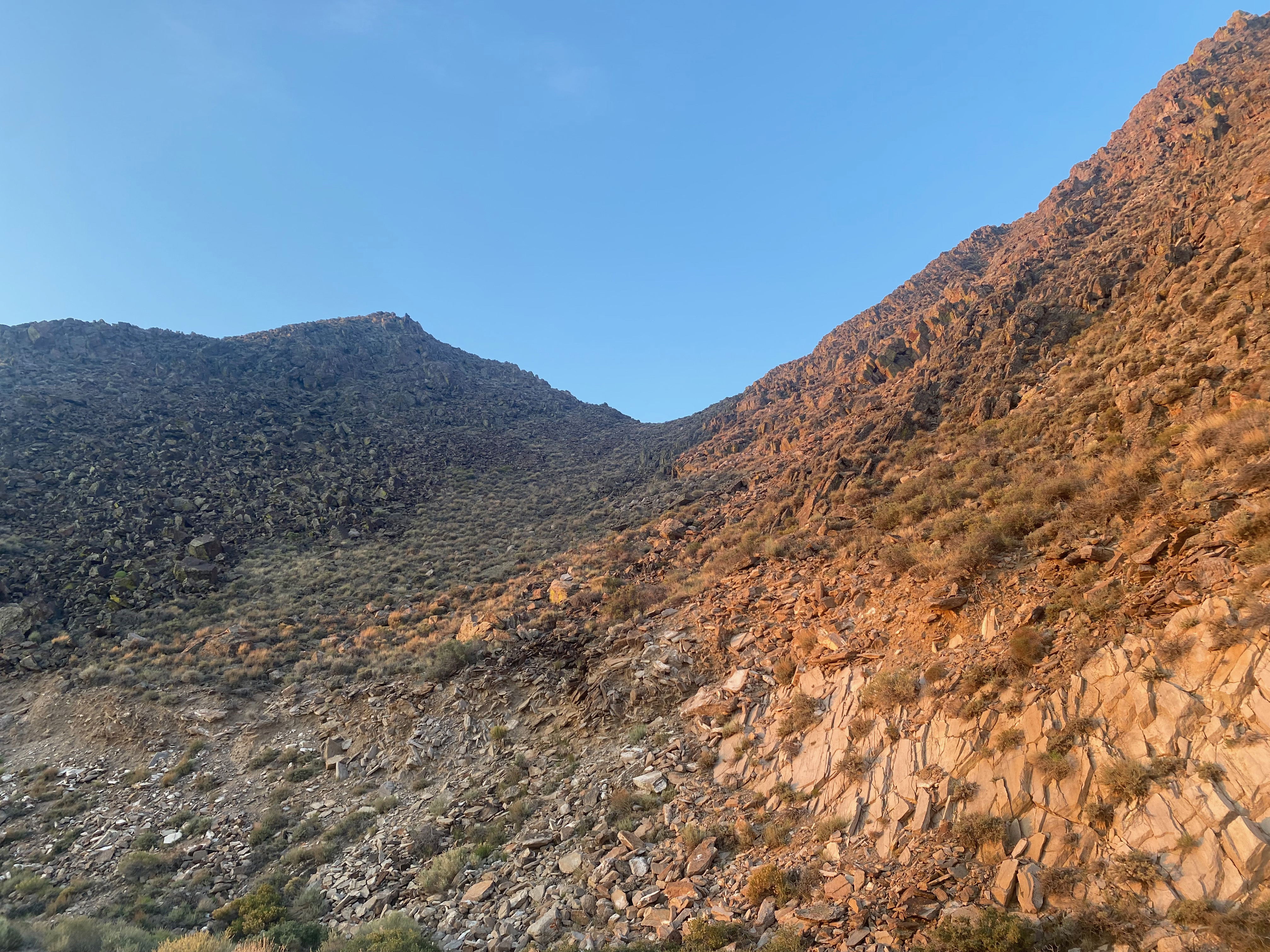
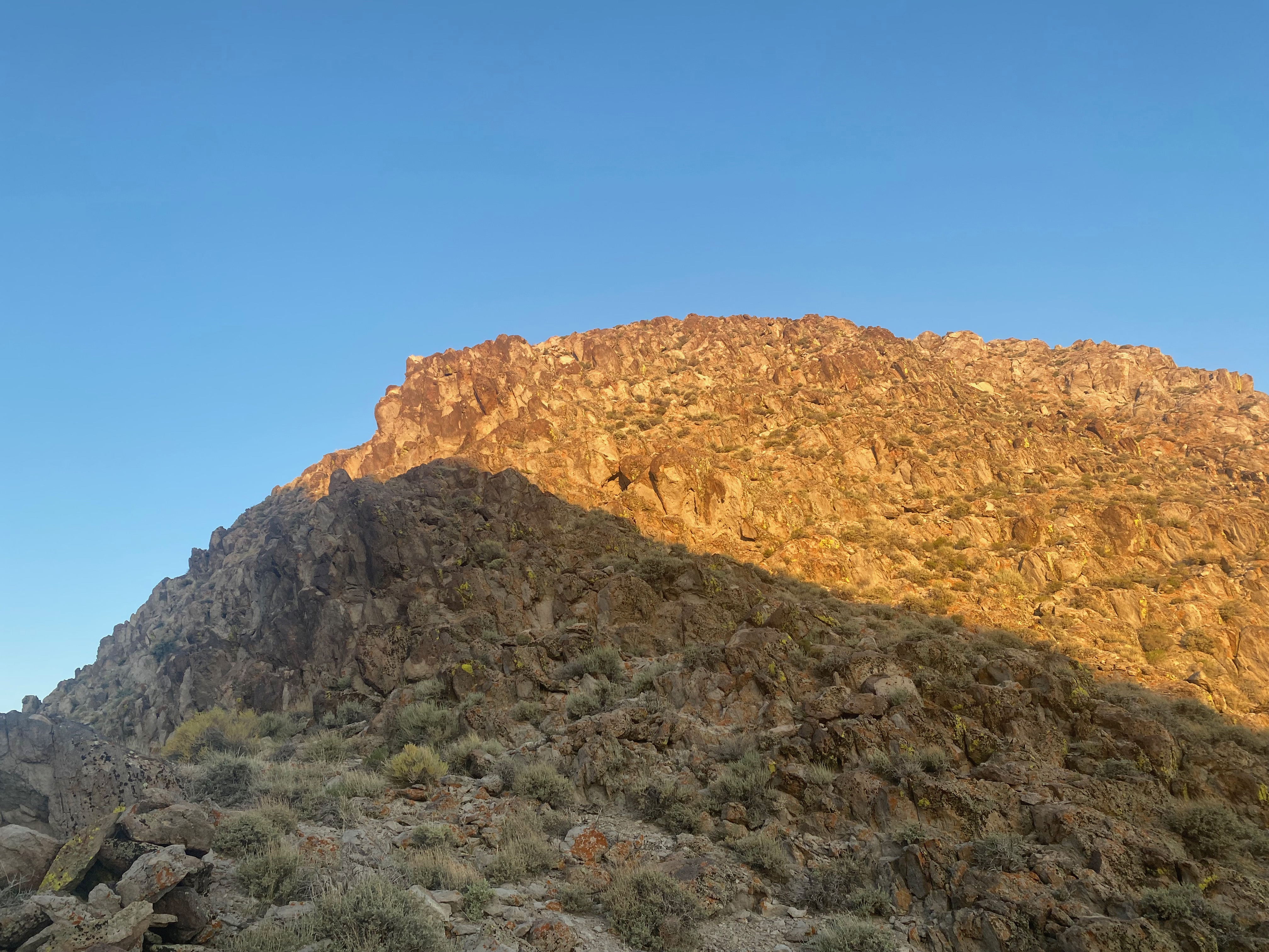
Chicoma Mountain and Polvadera Peak at dawn on the way up
9 NOVEMBER 2025 W5N/SE-003

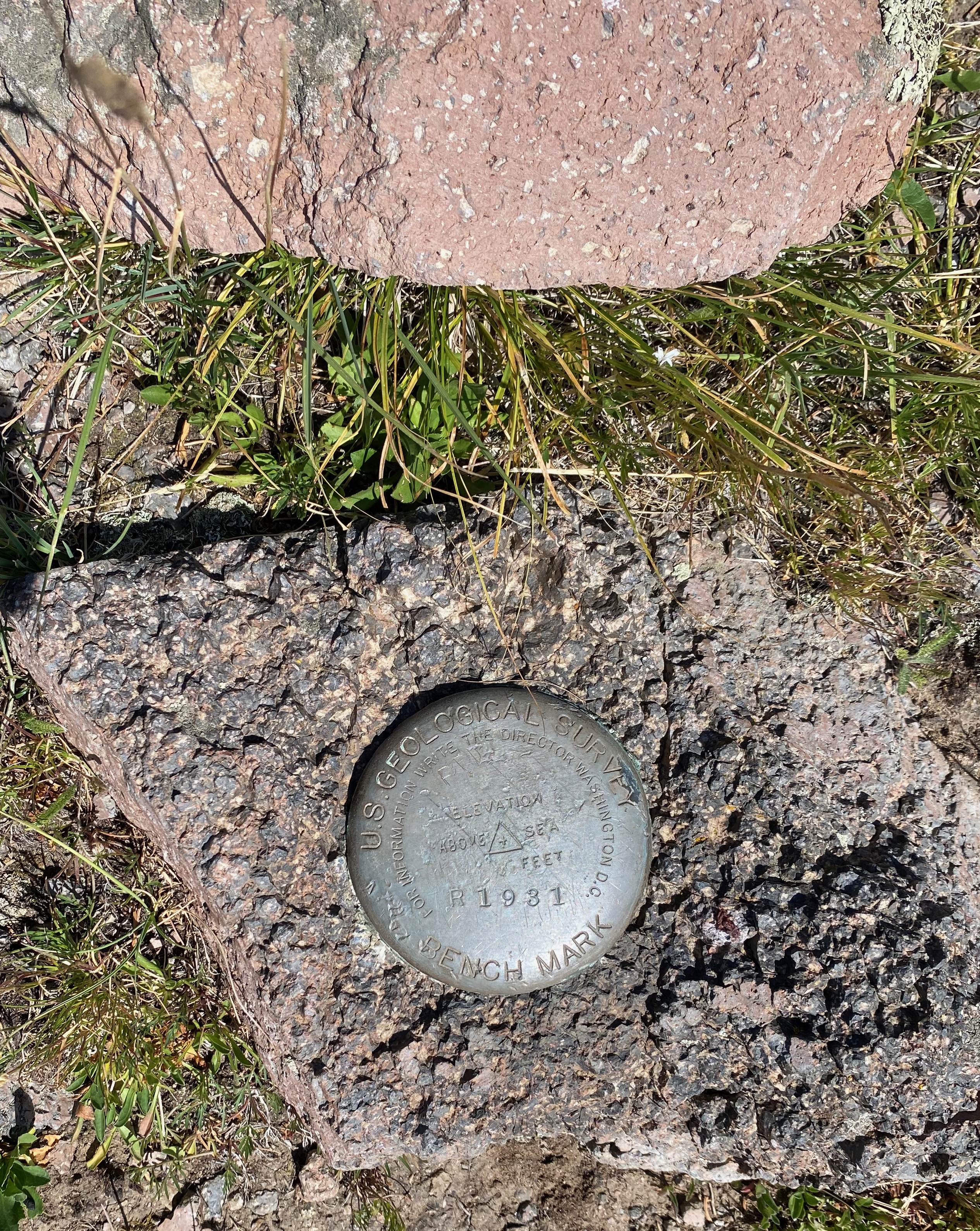
| Elevation: | 11,234′ |
| Route: | Cross country and very faint trail |
| Hike Distance: | 4 miles round trip |
| Elevation Gain: | 1,000′ |
| Navigation: | Very tricky |
| Steepness: | Moderately steep |
| Vehicle: | High clearance 4WD |
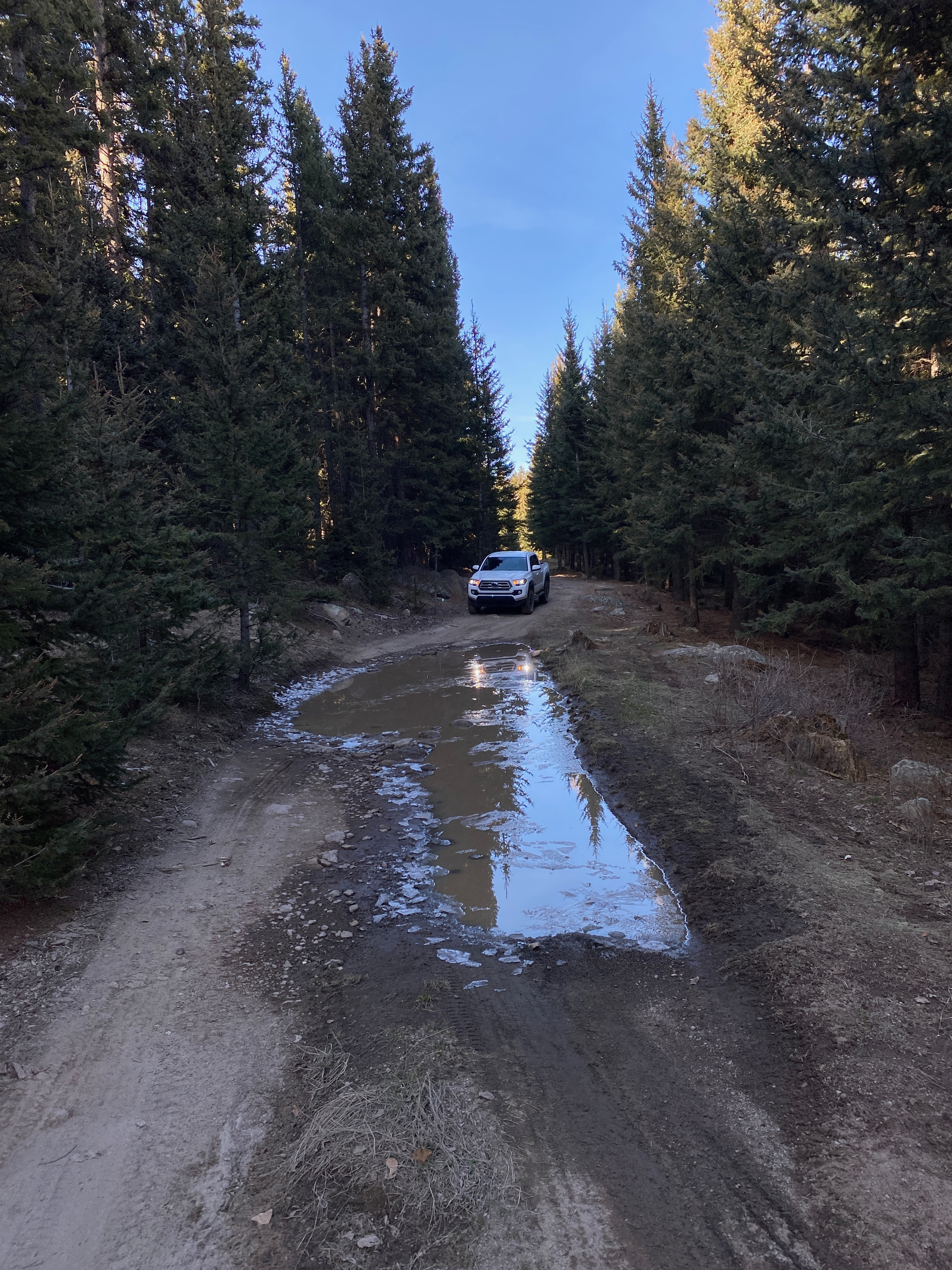
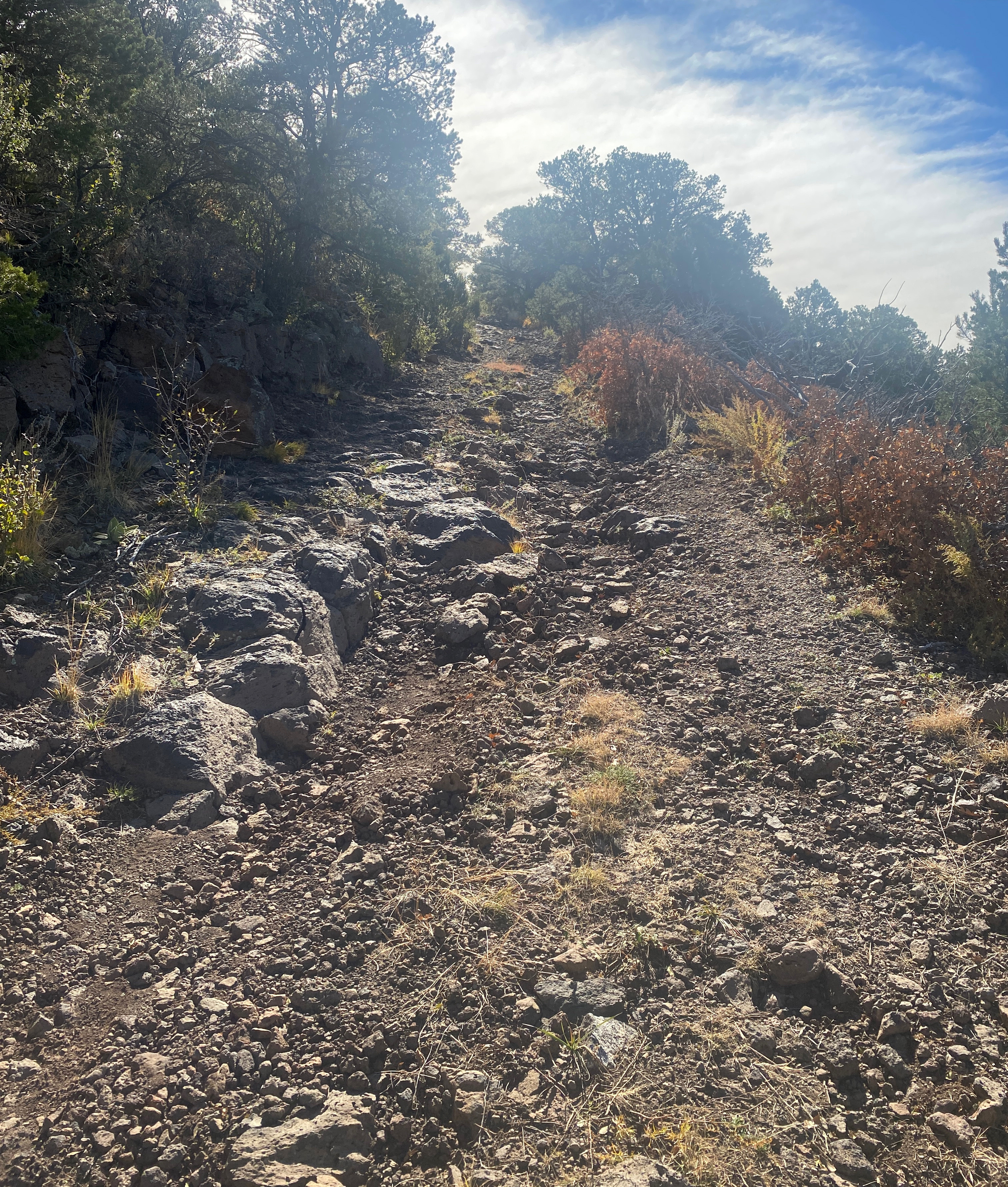
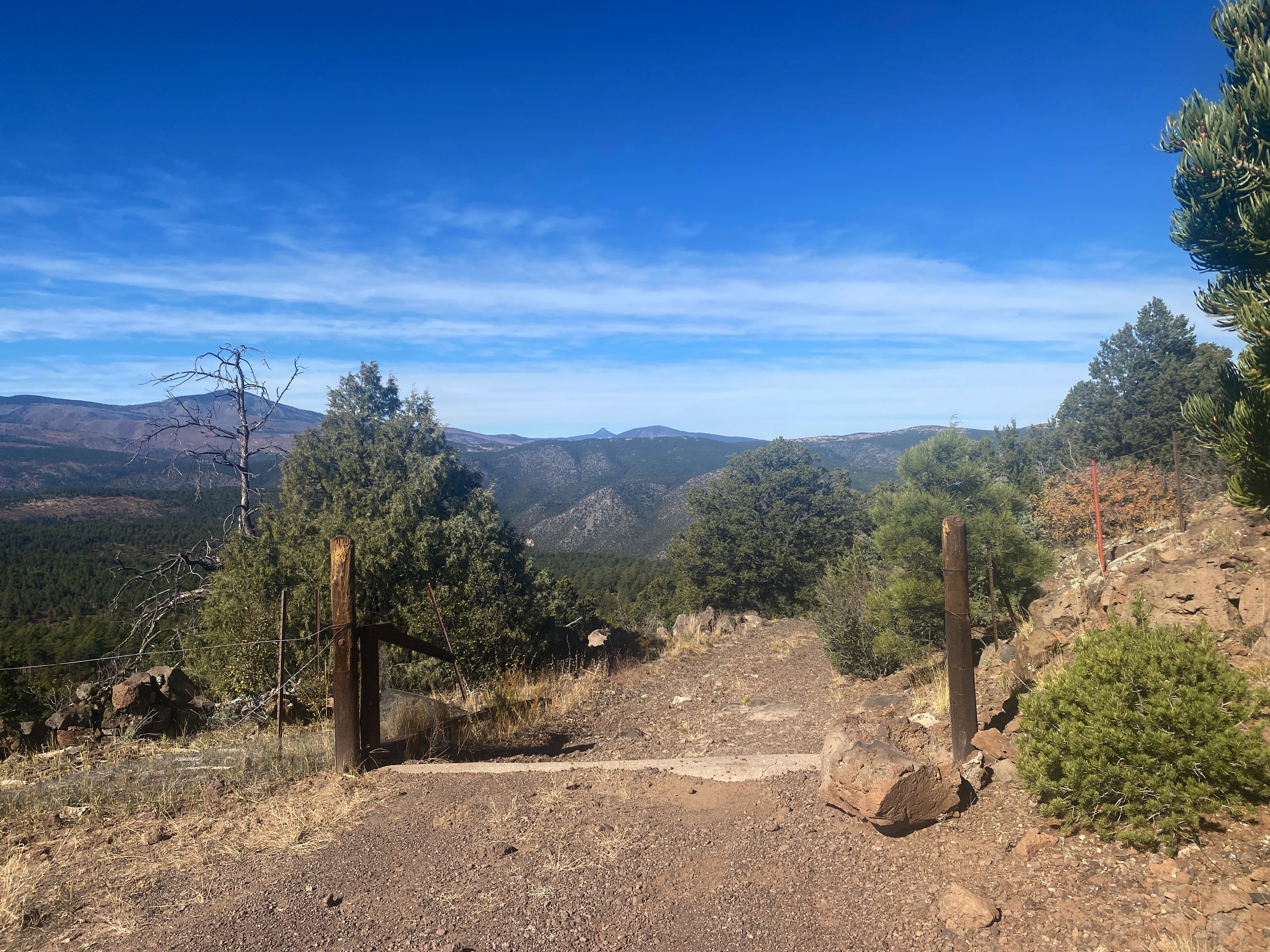
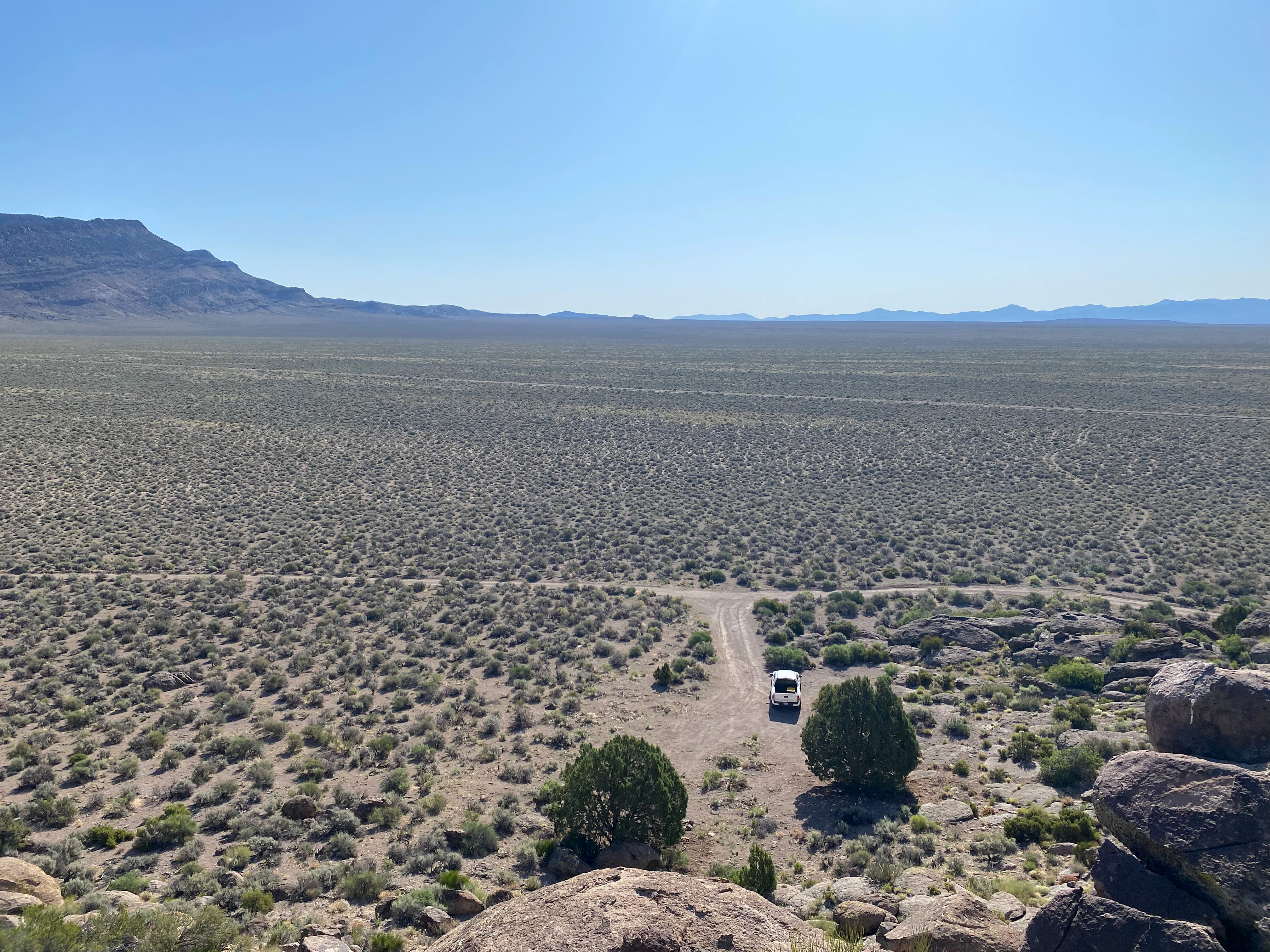
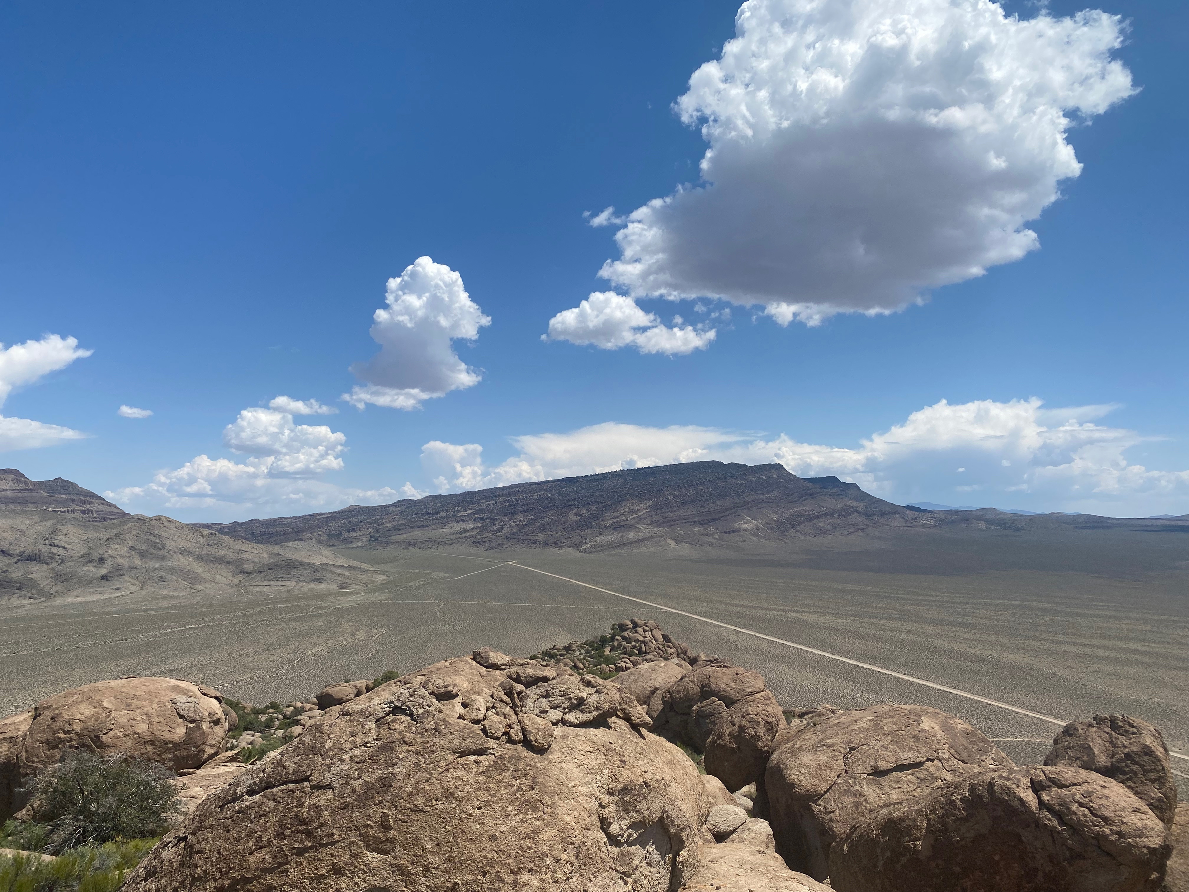
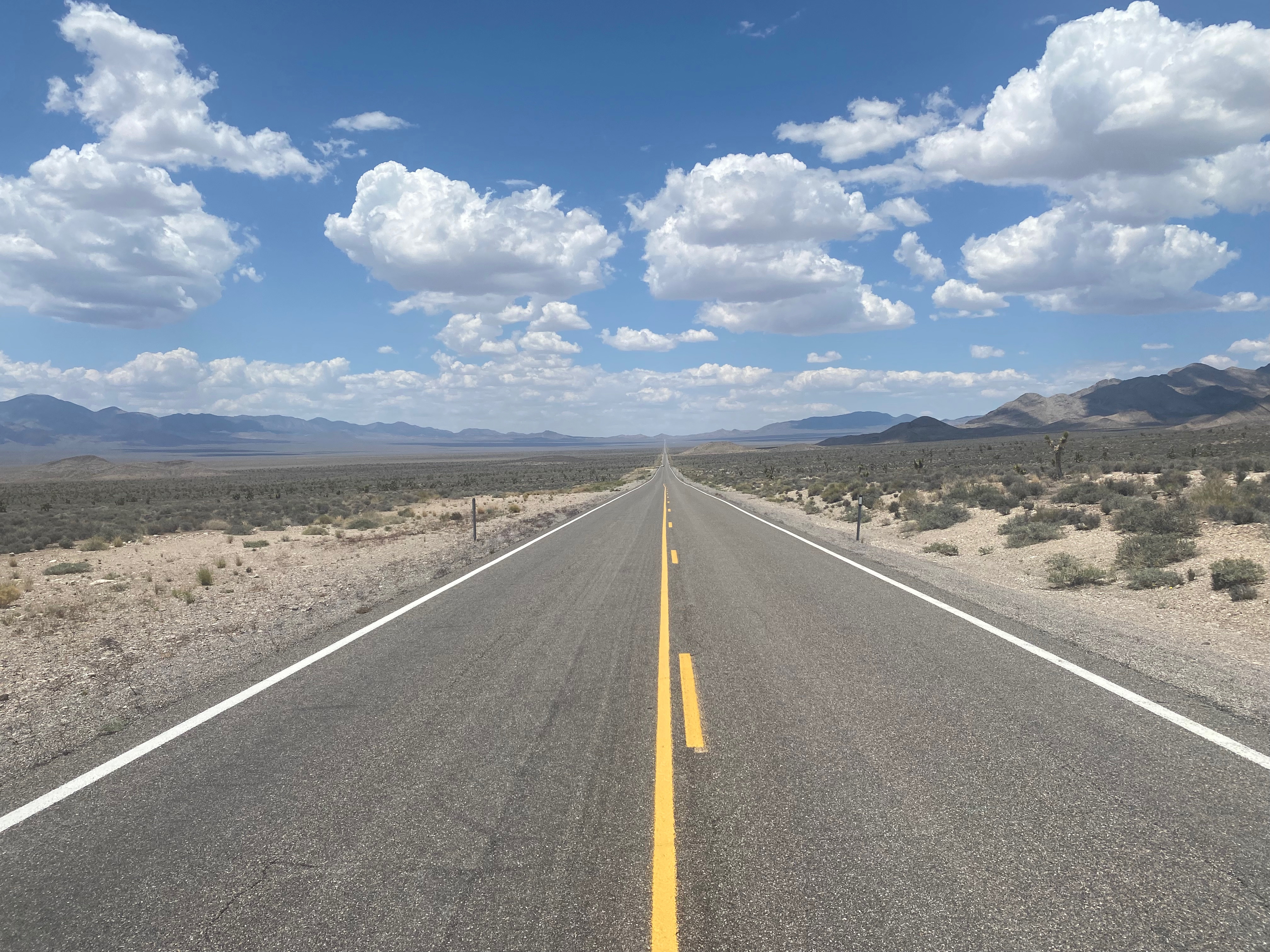
| Road: | Long dirt road and short, tough spur |
| Cell Coverage: | Excellent Verizon |
This is not a summit for everyone. It is extremely arduous hiking over copious deadfall, tricky route finding and a long dirt road approach with a bit of OHV gymnastics at the end. That said: I absolutely loved it!
It was 25ºF when I left Whitedog at 8:00 AM. The two mile hike took me 2 hours and 15 minutes struggling over a maze of fallen trees, dead ends, detours, backtracks… Some people pay good money to the gym for this kind of workout.
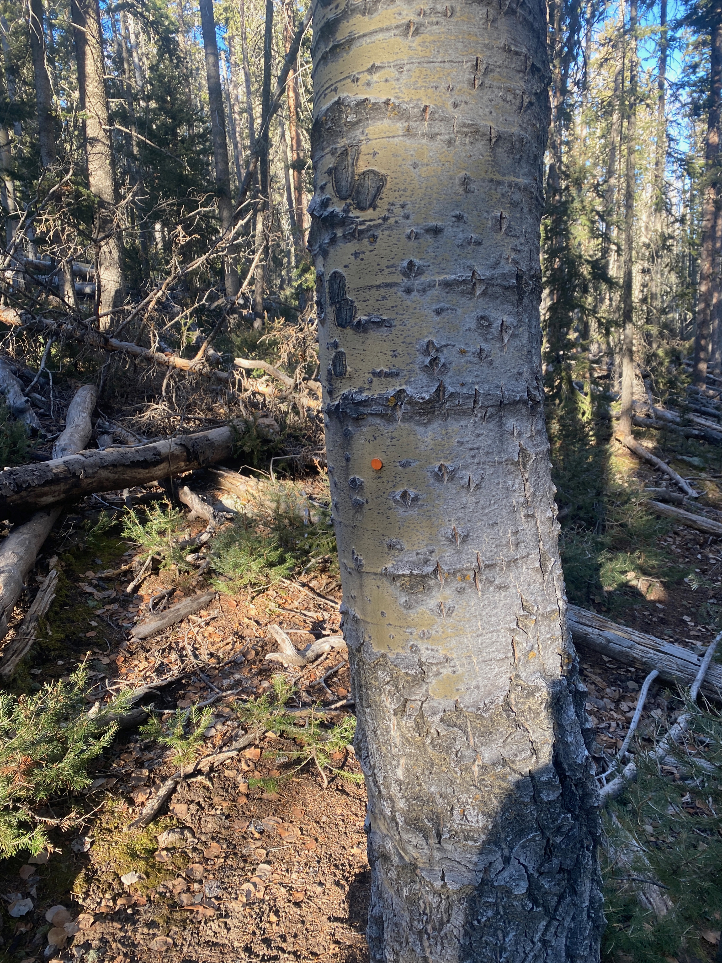
As of this writing someone had valiantly attempted to chainsaw a route through all the deadfall a while back but stopped far short in their task.
There are little orange reflector thumbtacks that mark a section of their attempt.
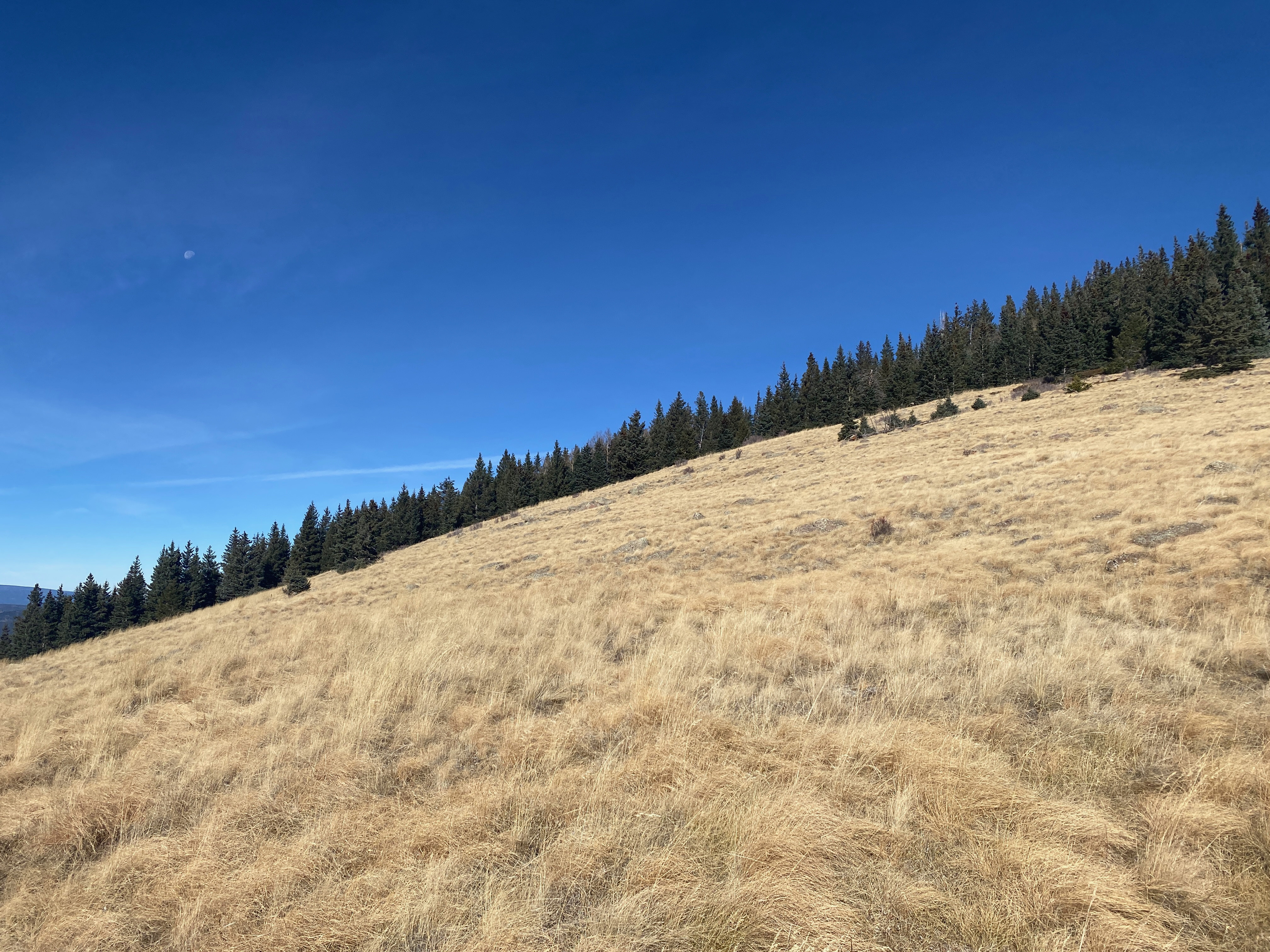
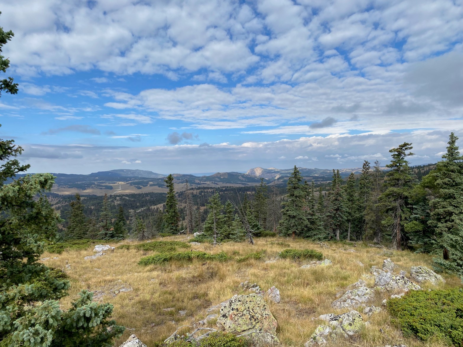
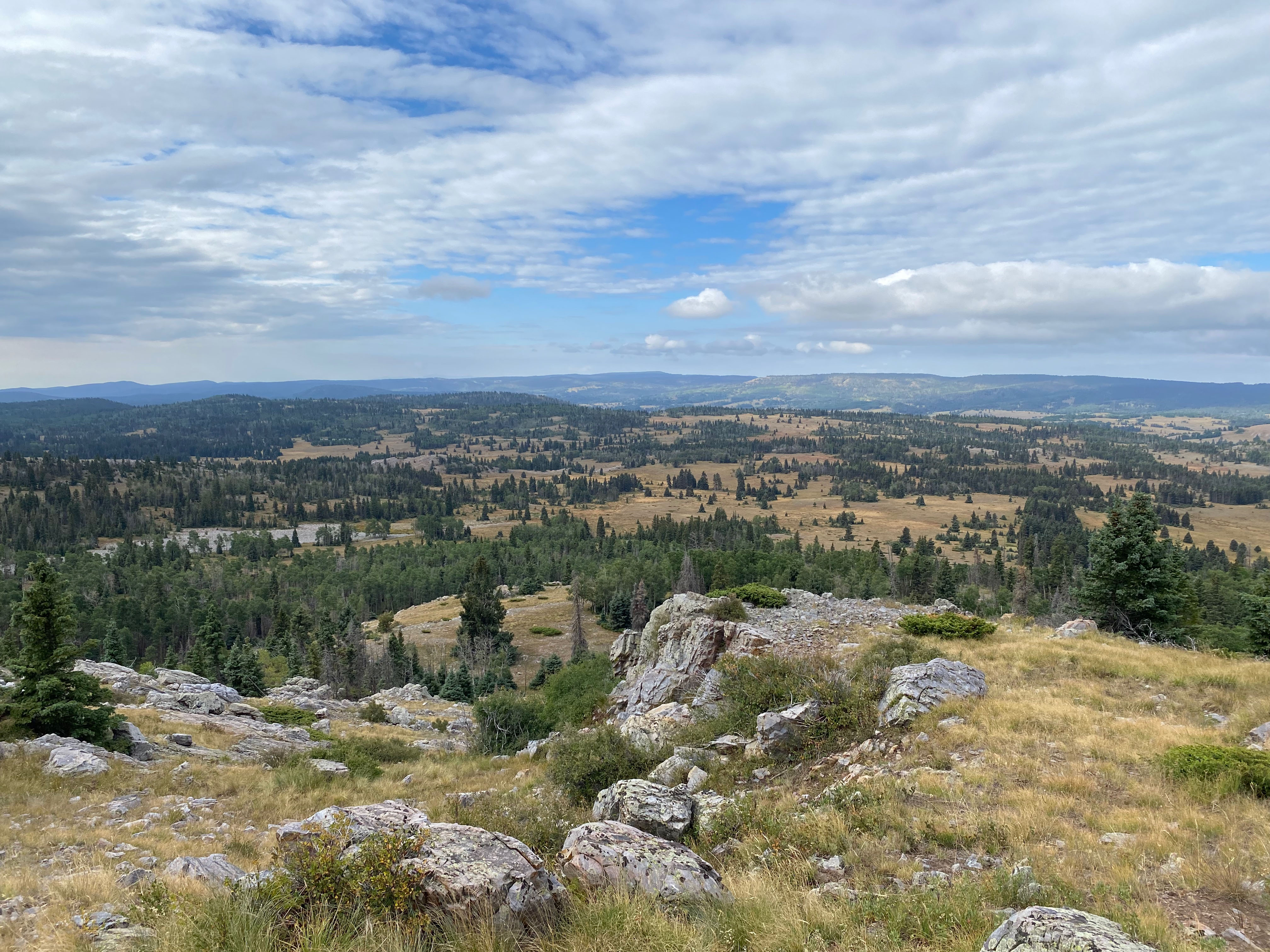
From here the hike goes downhill and over to the saddle between Polvadera and bump 10,660′. This is the stretch that has the “trail” mentioned above. From the saddle there are alternately open stretches of easy hiking across alpine meadows and nasty tangles of fallen trees. The trick is to join up as much of the former as you can and limit the latter.
I found this route challenging and exhilarating. Your mileage may certainly vary on that one. Route finding is difficult once among the dense trees. Landmarks are hard to find. Good skills in this area are mandatory,
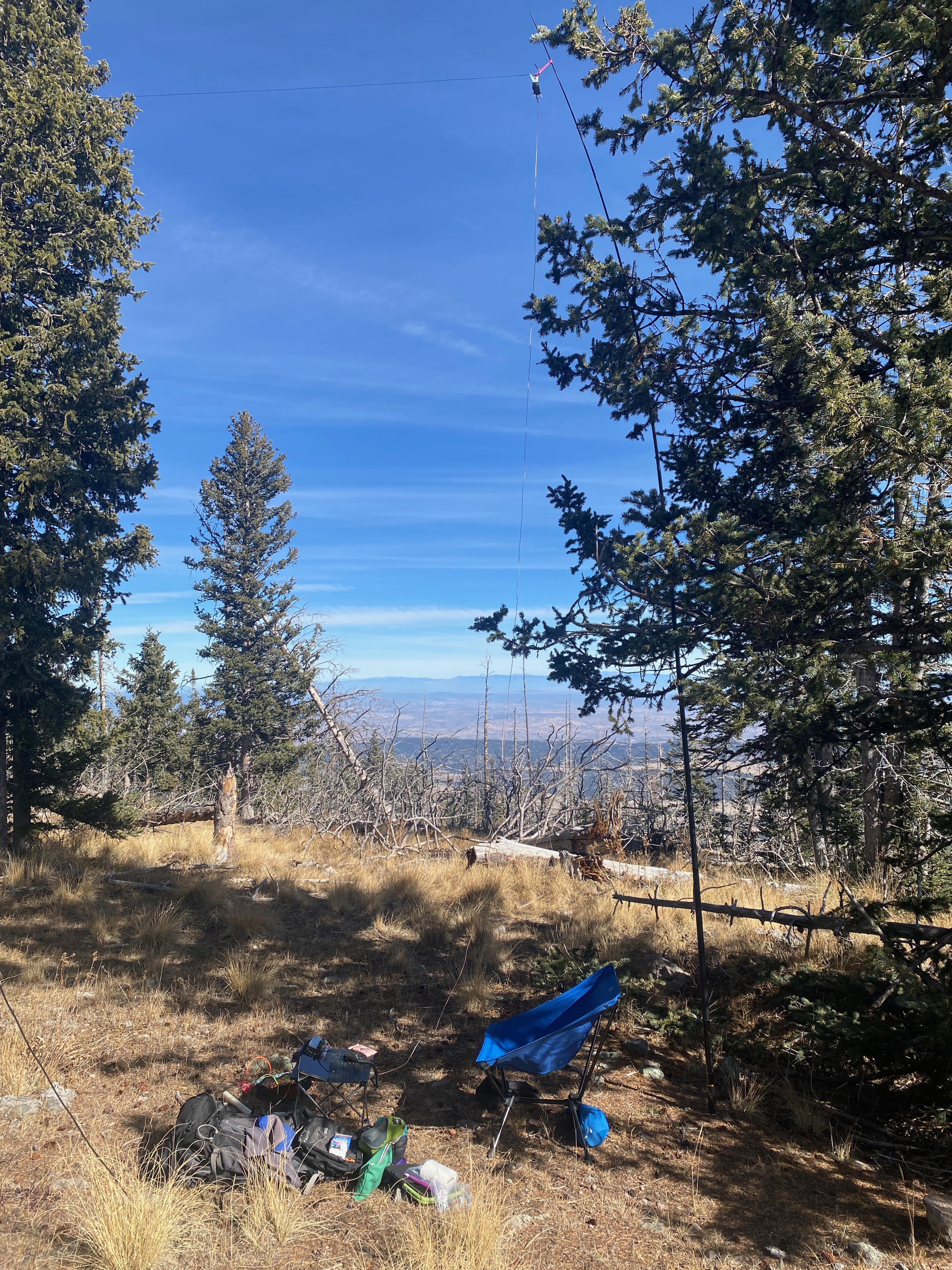
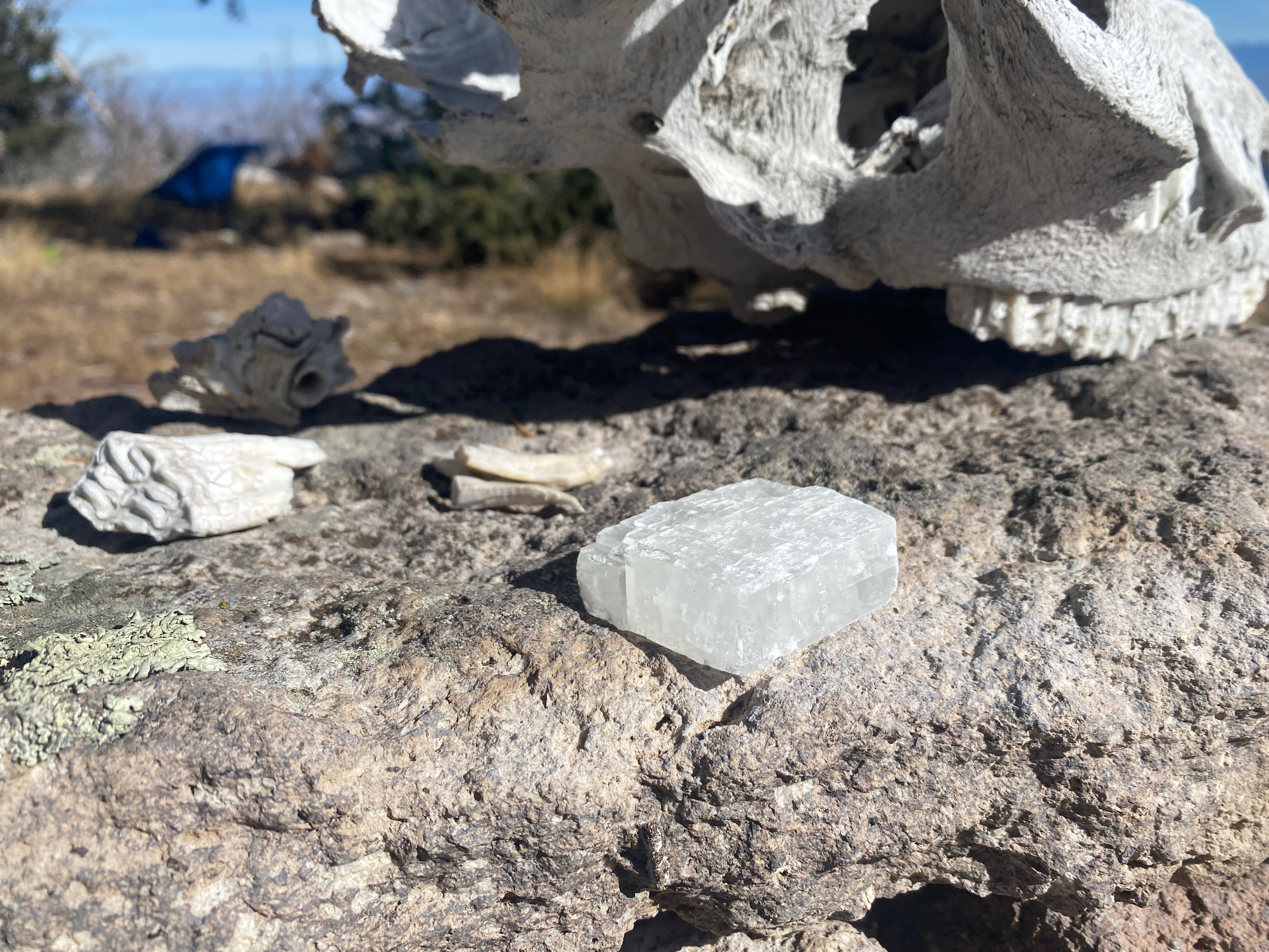
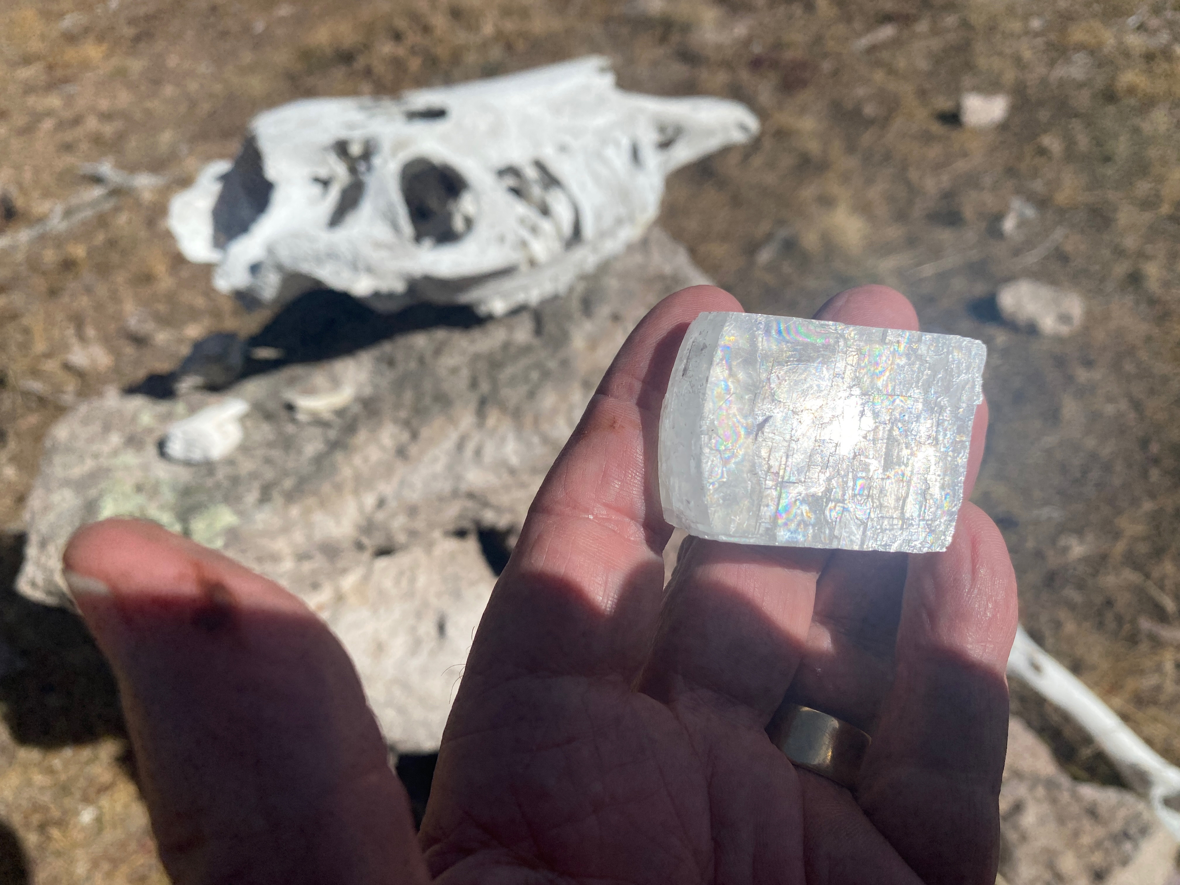
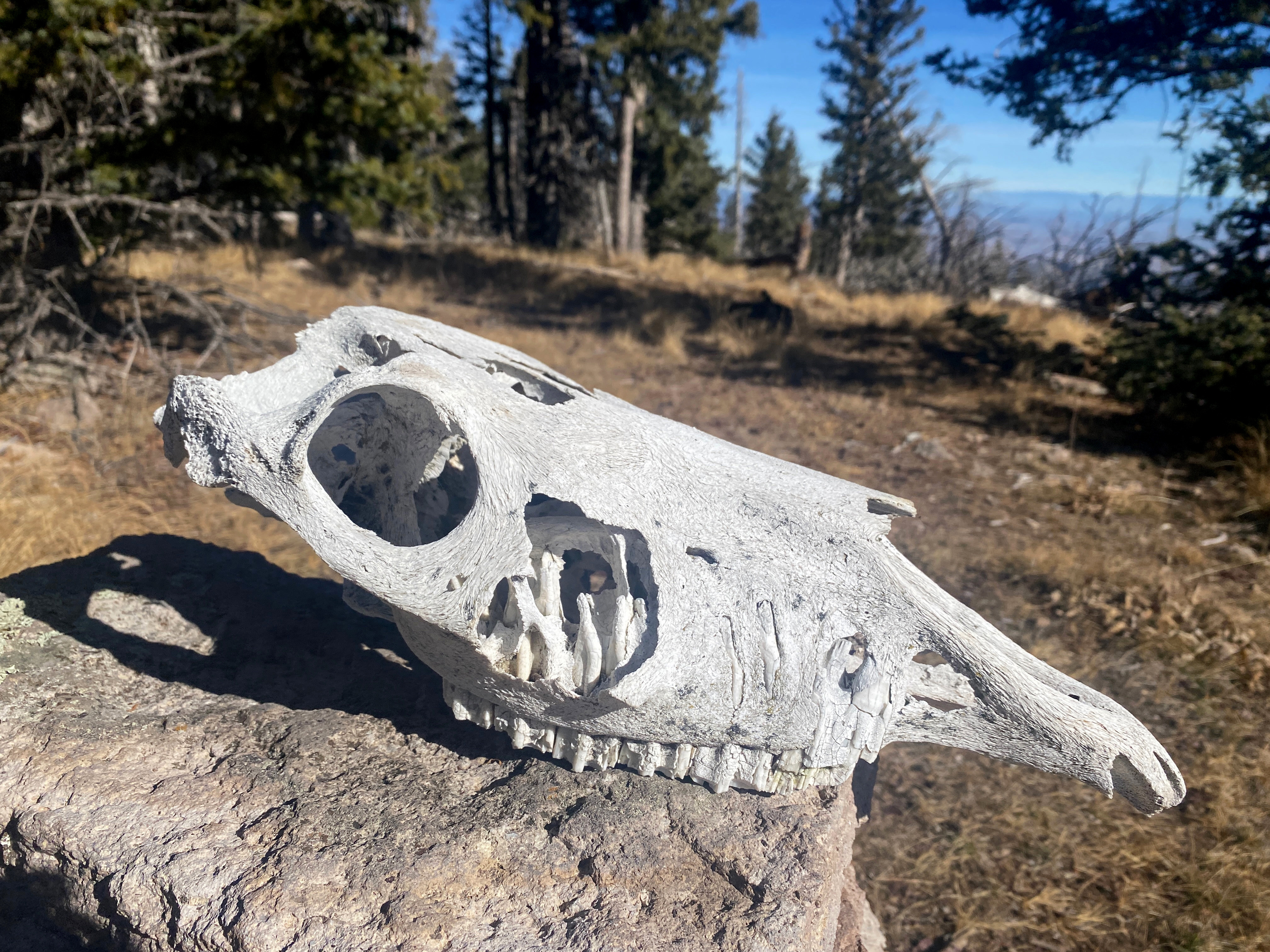
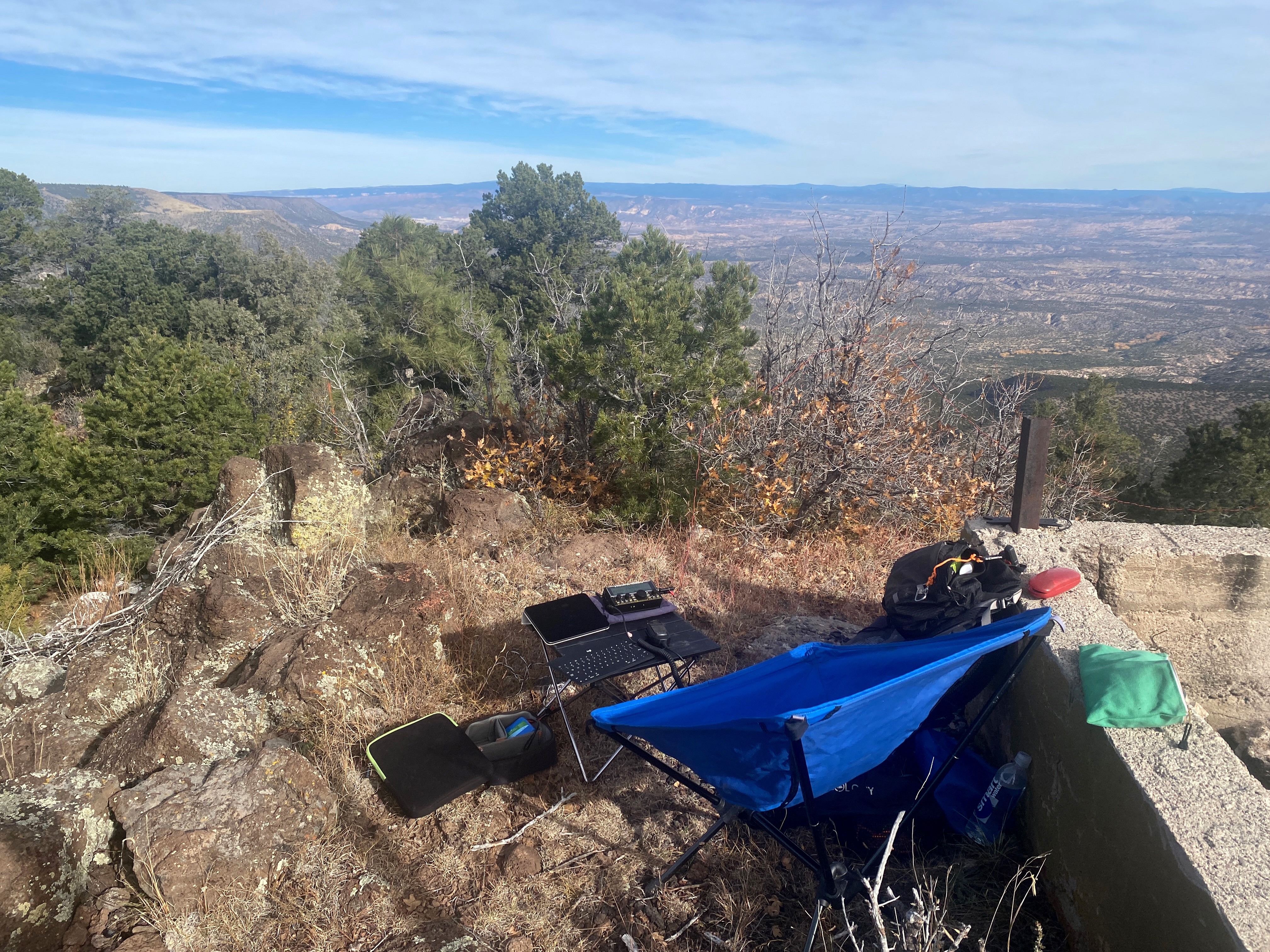
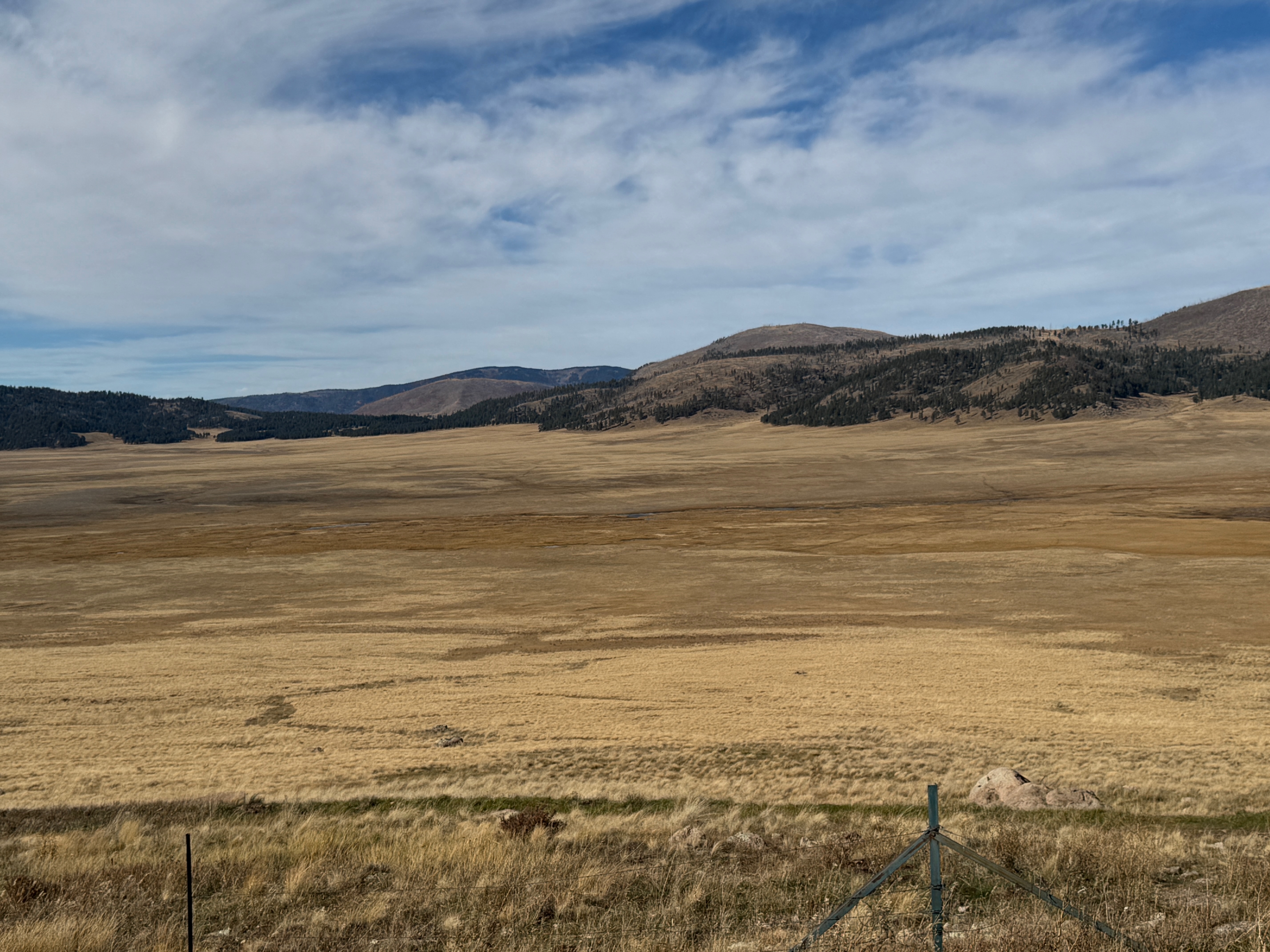
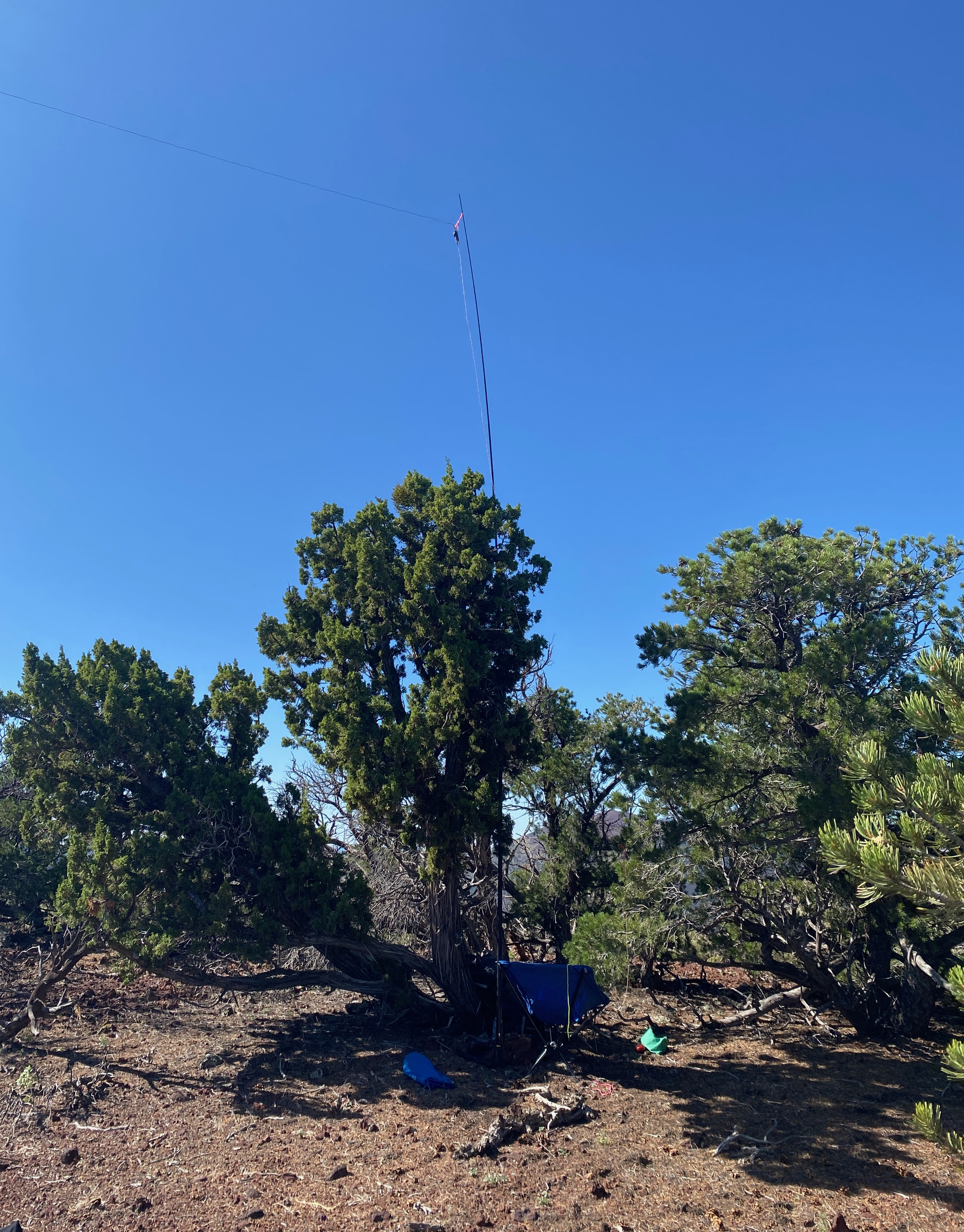
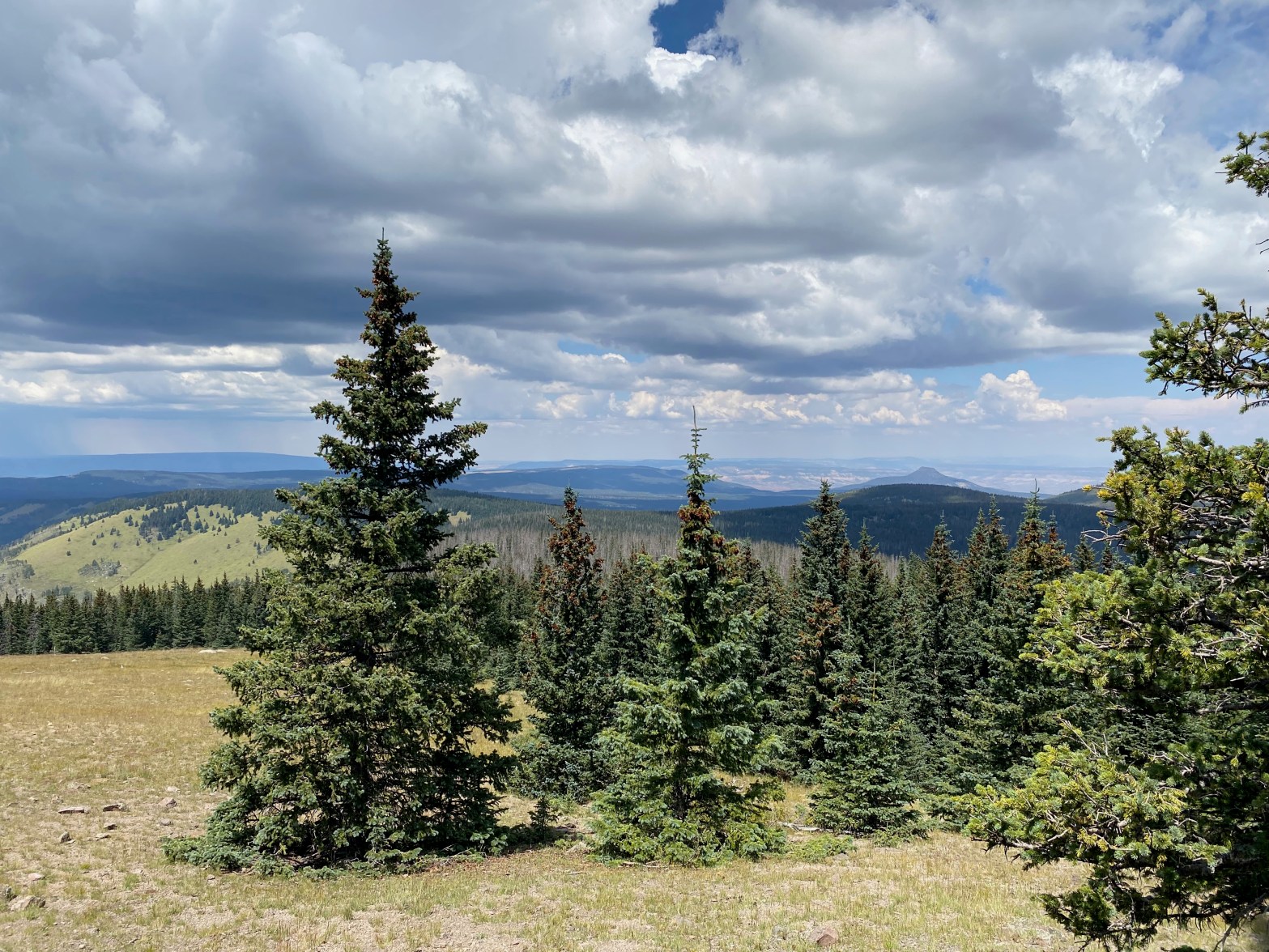
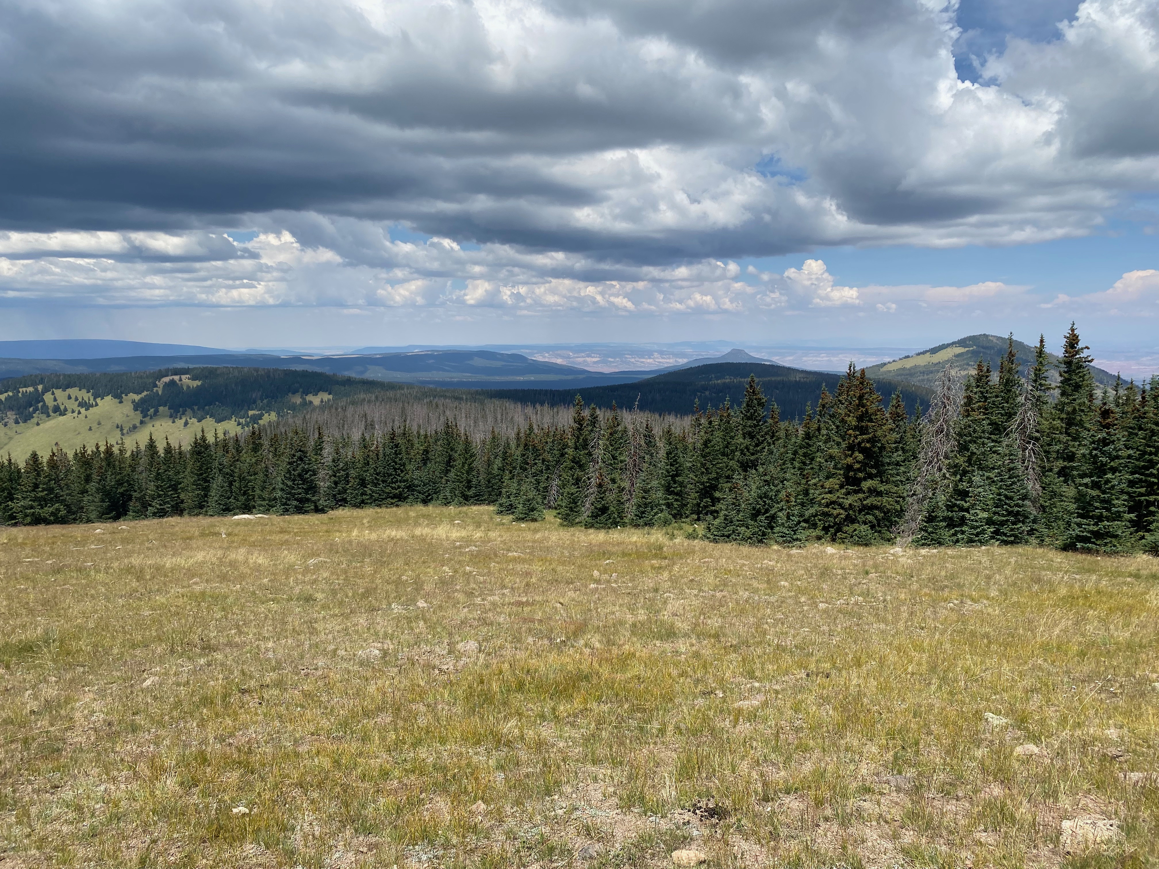
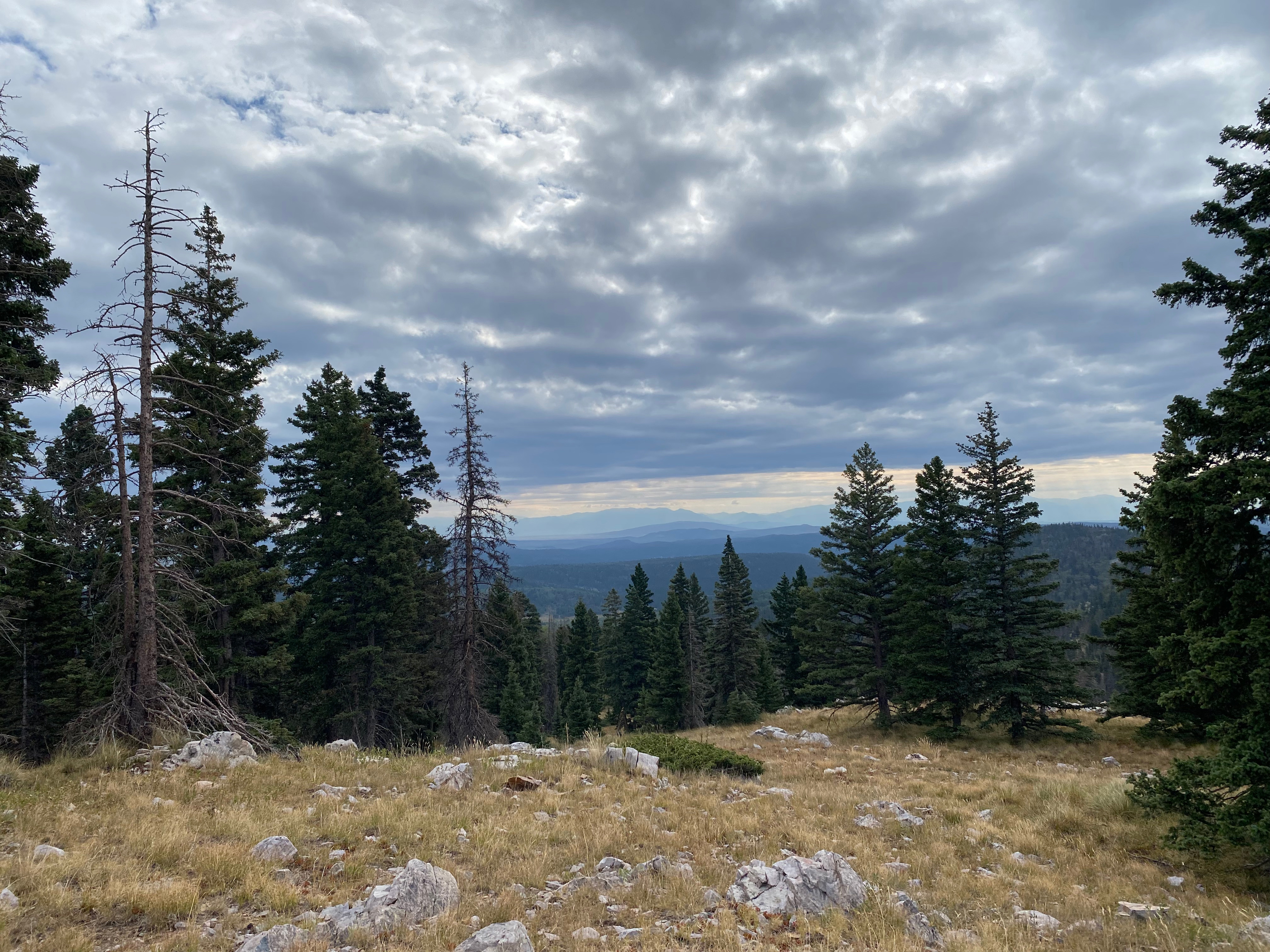
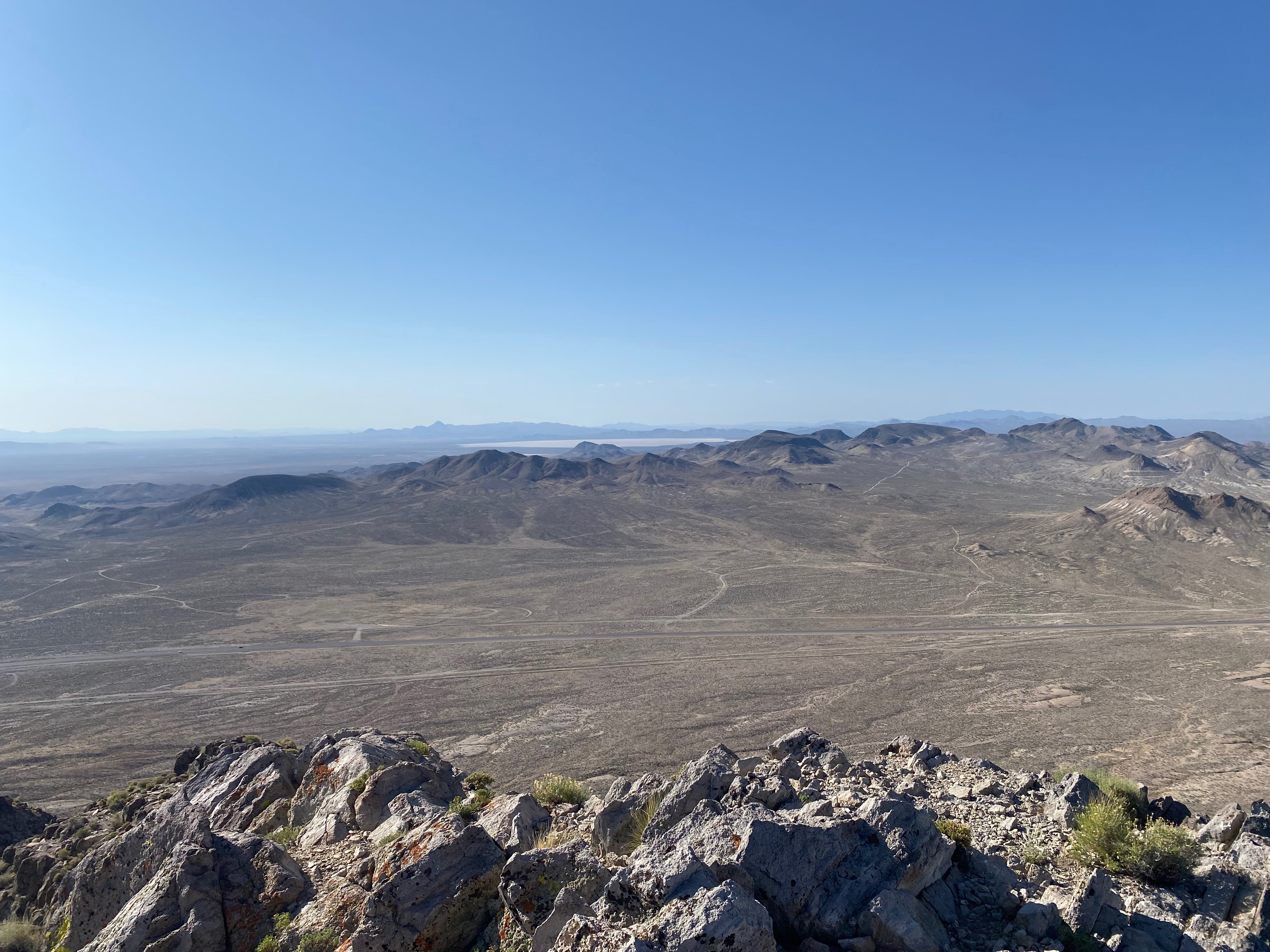
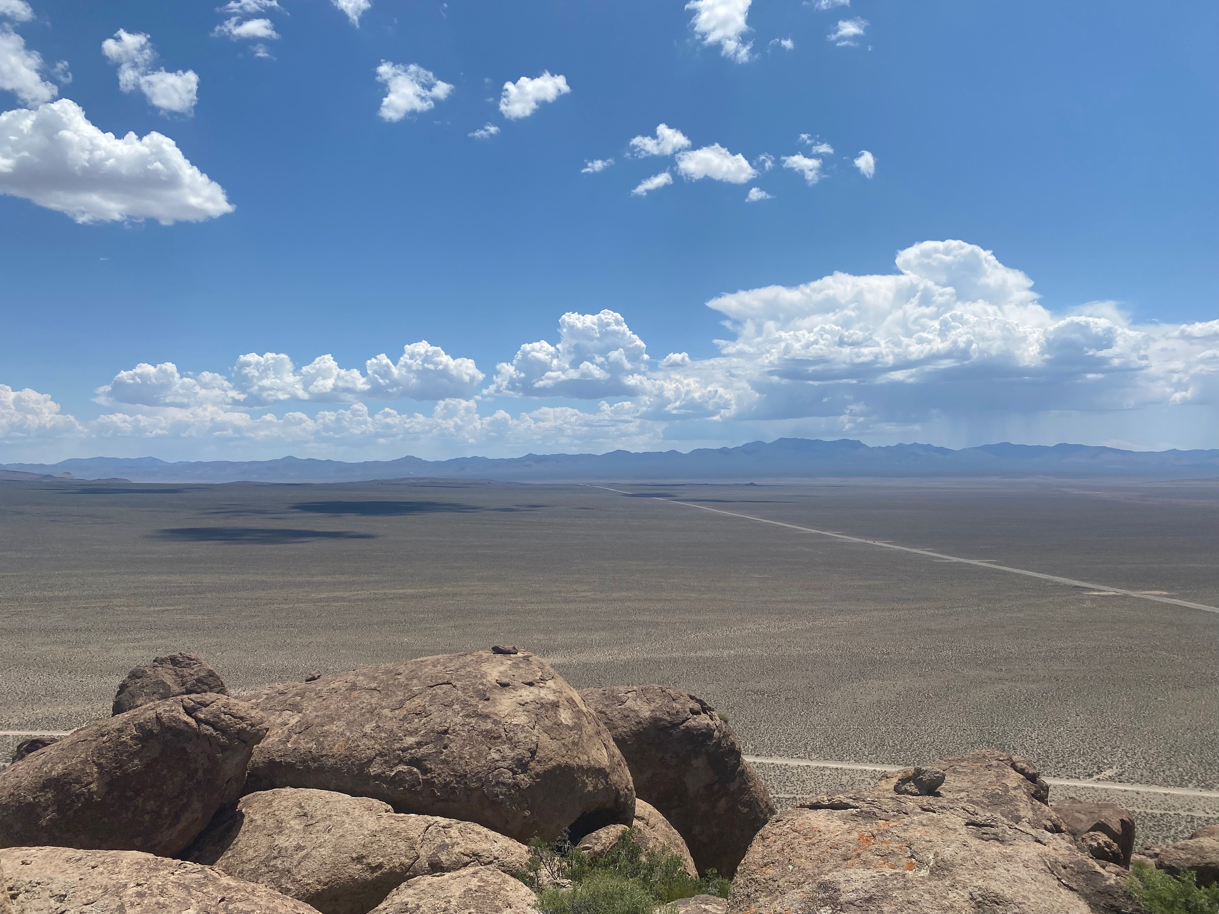
I love this area for the mystic aura surrounding the peaks of Valles Caldera. On the summit on the tall cairn I found a horse skull & bones, several crystals and Tibetan prayer flags. These kinds of tokens, offerings, talisman and shrines are common among the summits of Northern New Mexico. Even with the grueling hike and that fact that two thirds of the view is obscured by the trees, I still thoroughly enjoyed this activation. The sense of peace, solitude and self-reliance is a balm for my soul.
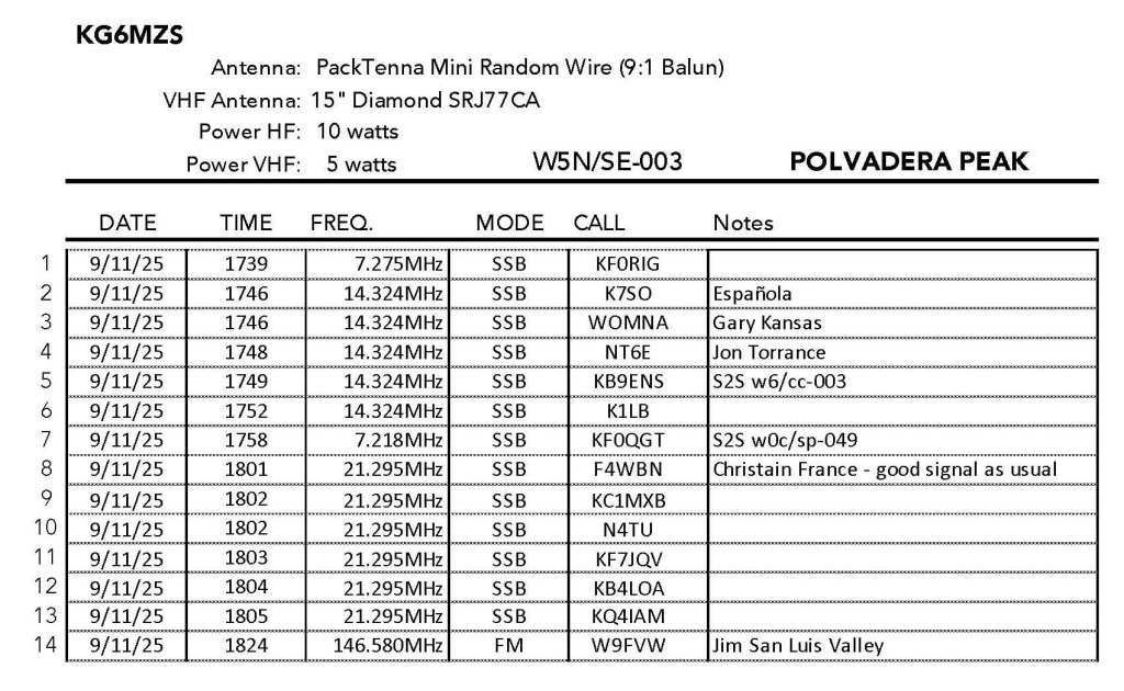
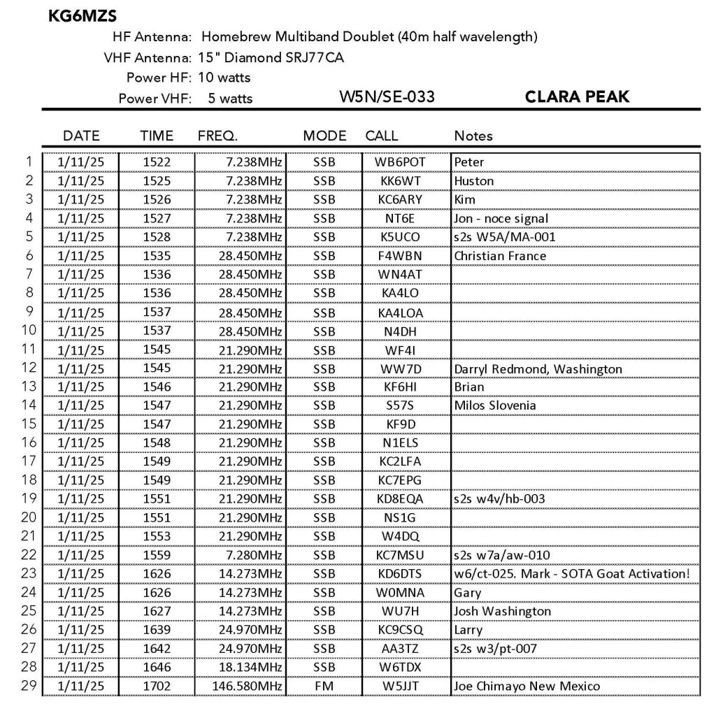
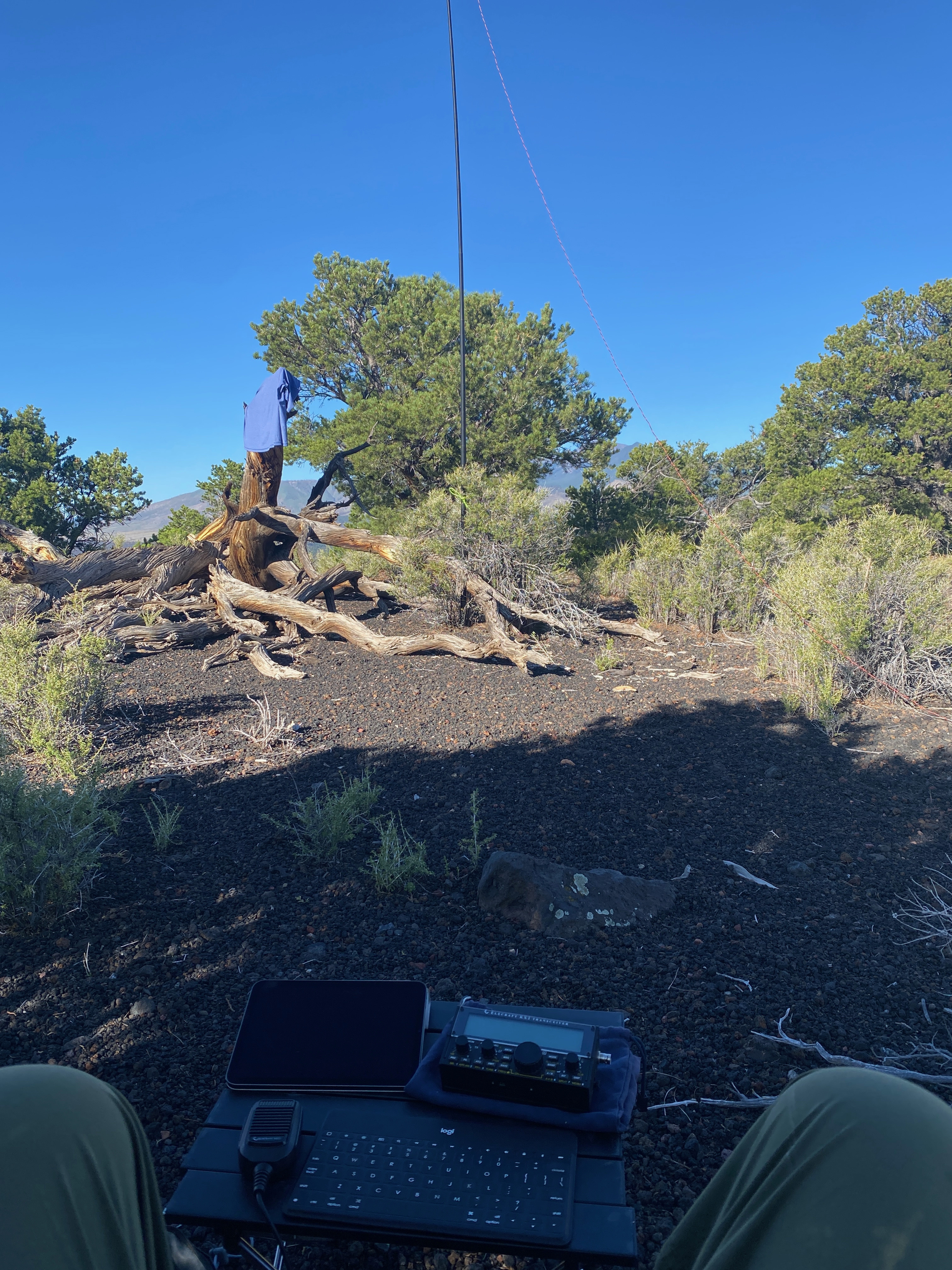
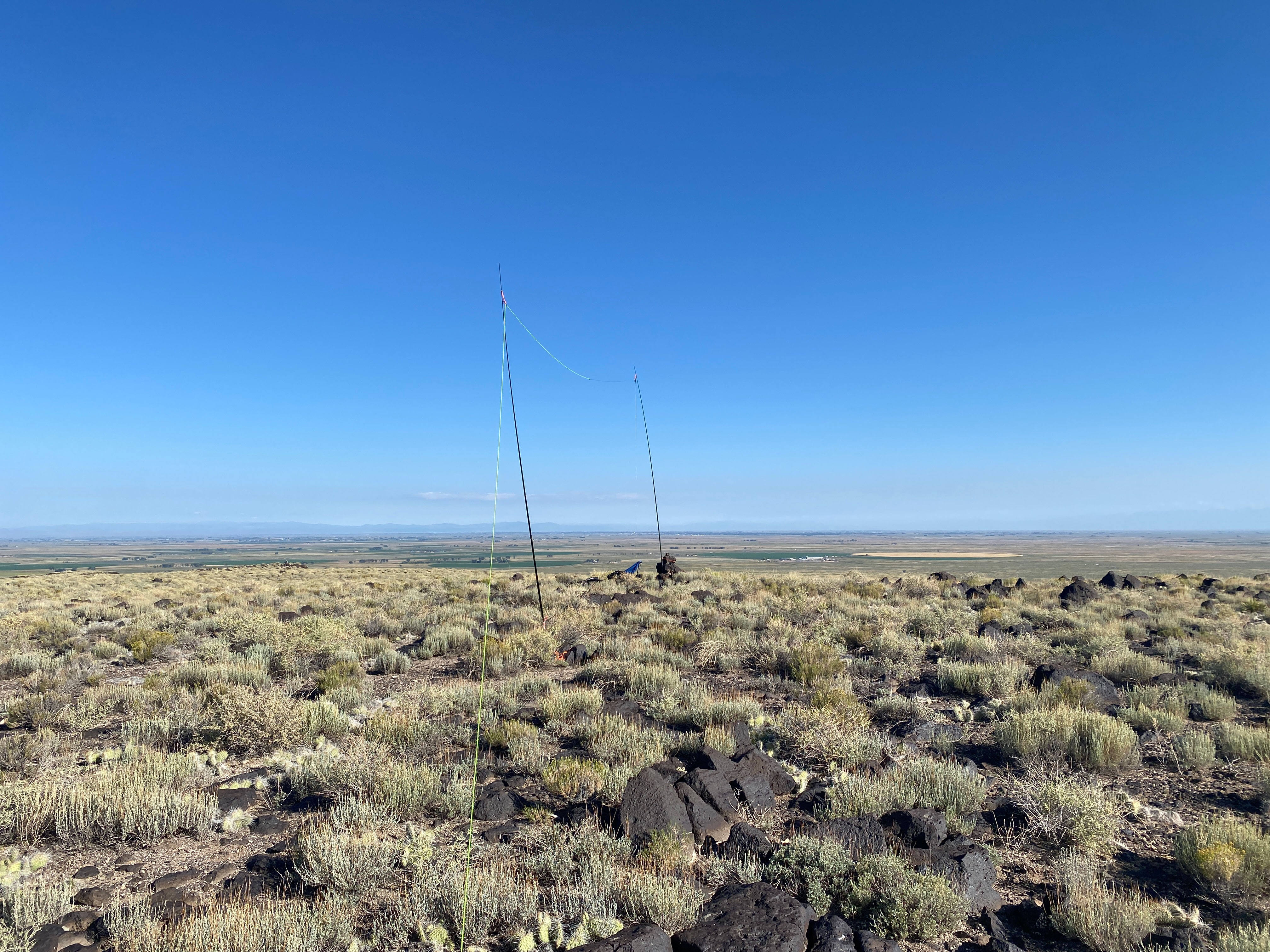
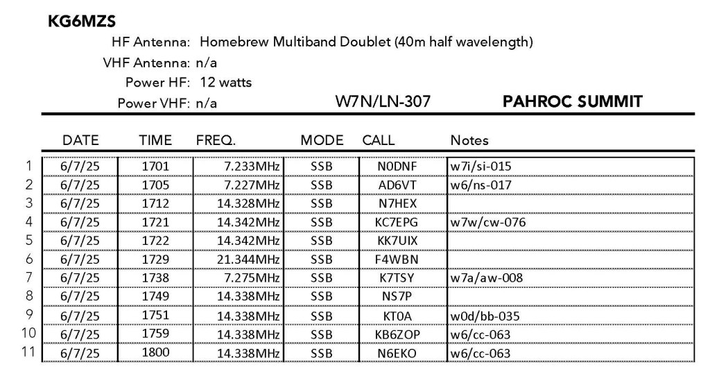
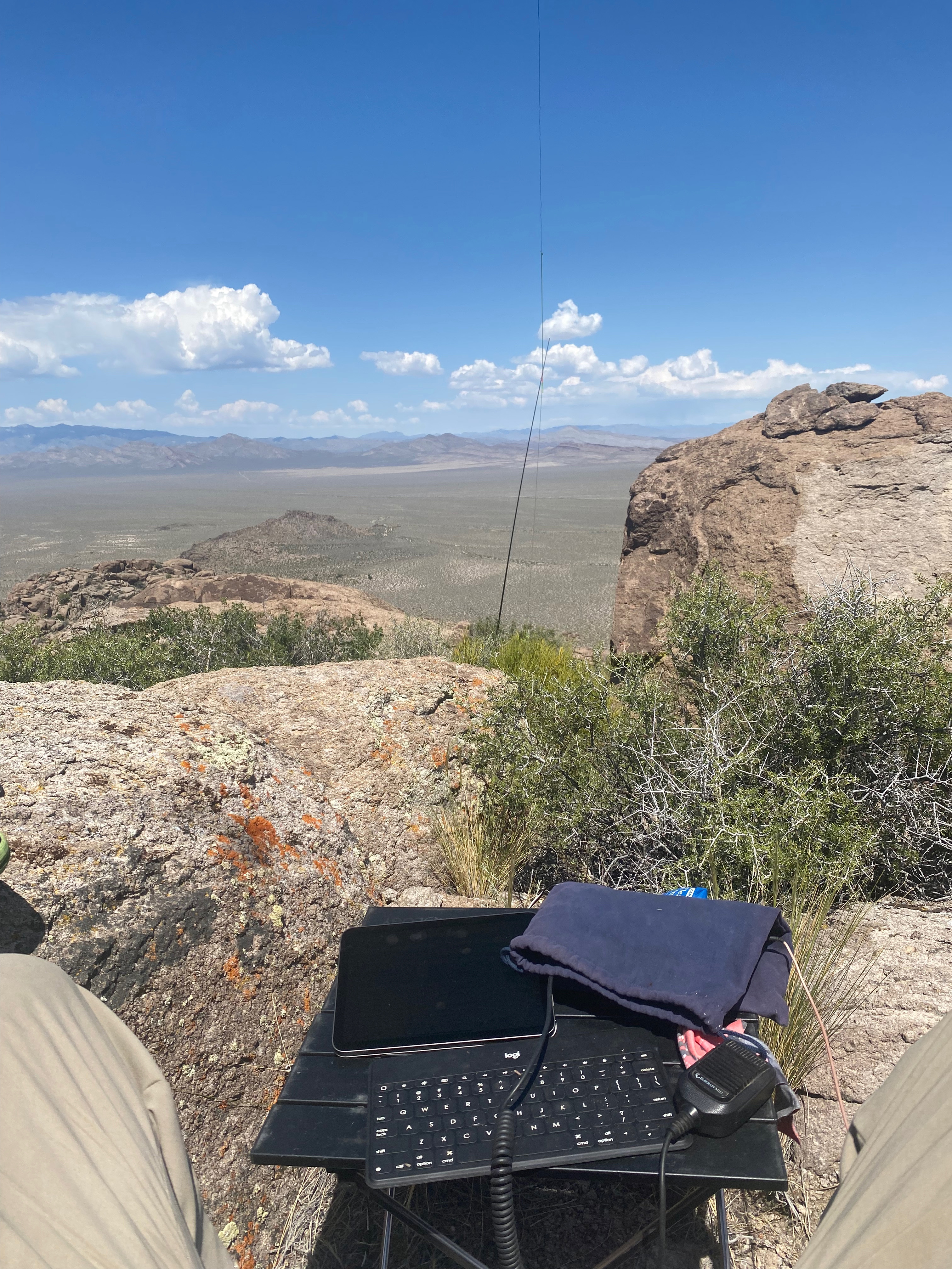
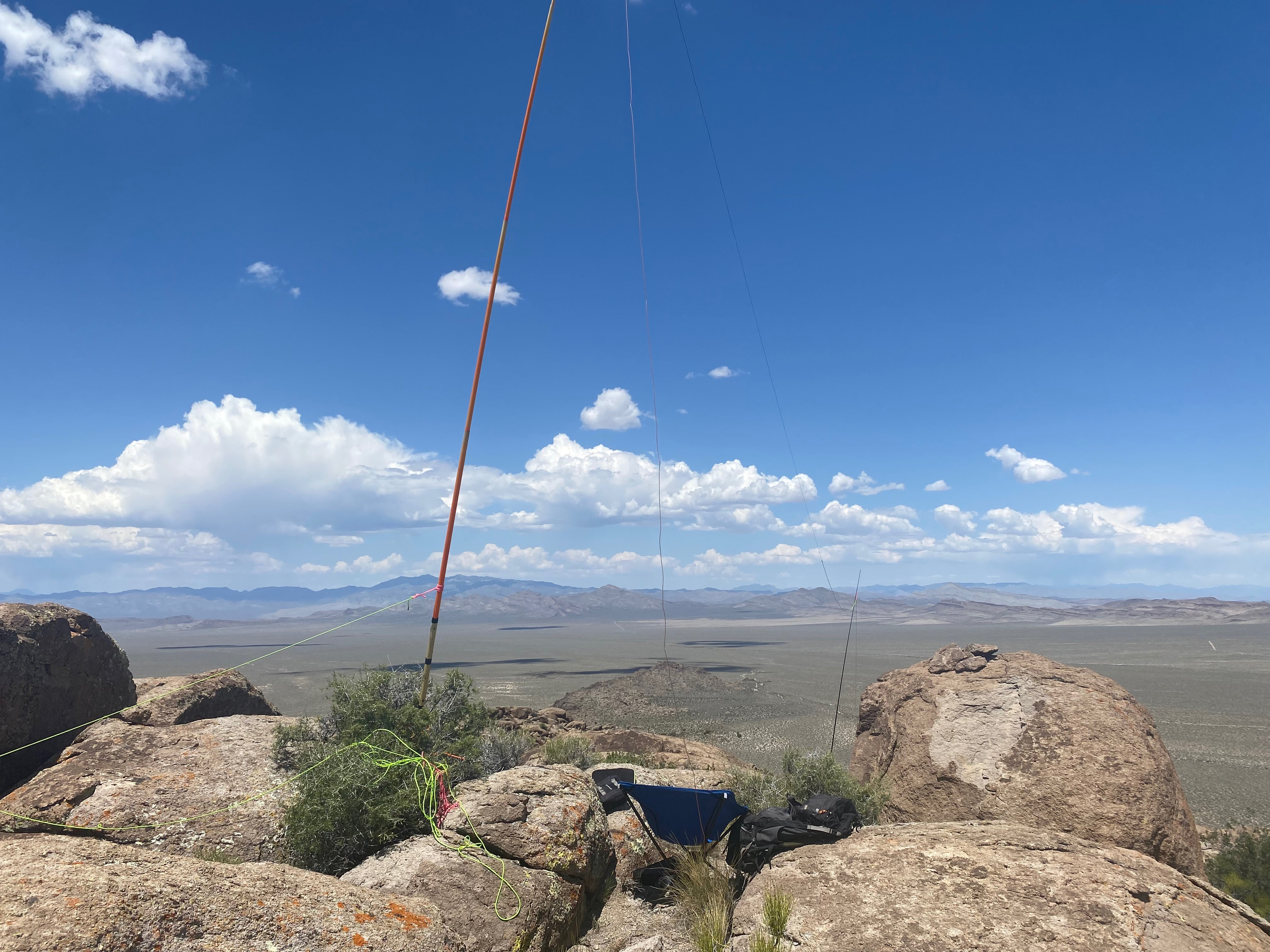
Radio conditions were good again with two summit-to-summit contacts. I made contacts in Maine and North Carolina along with Christian in France. I didn’t stay as long as I would otherwise due to the fact that I knew the descent would be very slow and not something I wanted to do in the dark. Thank you chasers!

Medical Note: (for those of you that read this all the way through 😉 Once back at our adobe in Nambe I experienced my first-ever hamstring muscle tie-up. This cramp was excruciating! It was the most painful I had ever endured. Cassie quickly got ice packs on it and pumped me full of water and electrolytes. I suspect this was the result of the gymnastics required on this activation climbing over, under and around all the fallen logs. I guess I need to stretch before and after these kinds of hikes, as well as drink more than I have been.


Leave a comment