
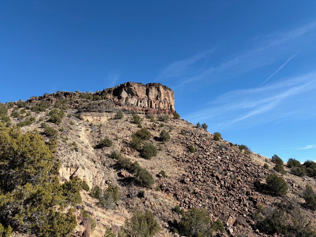
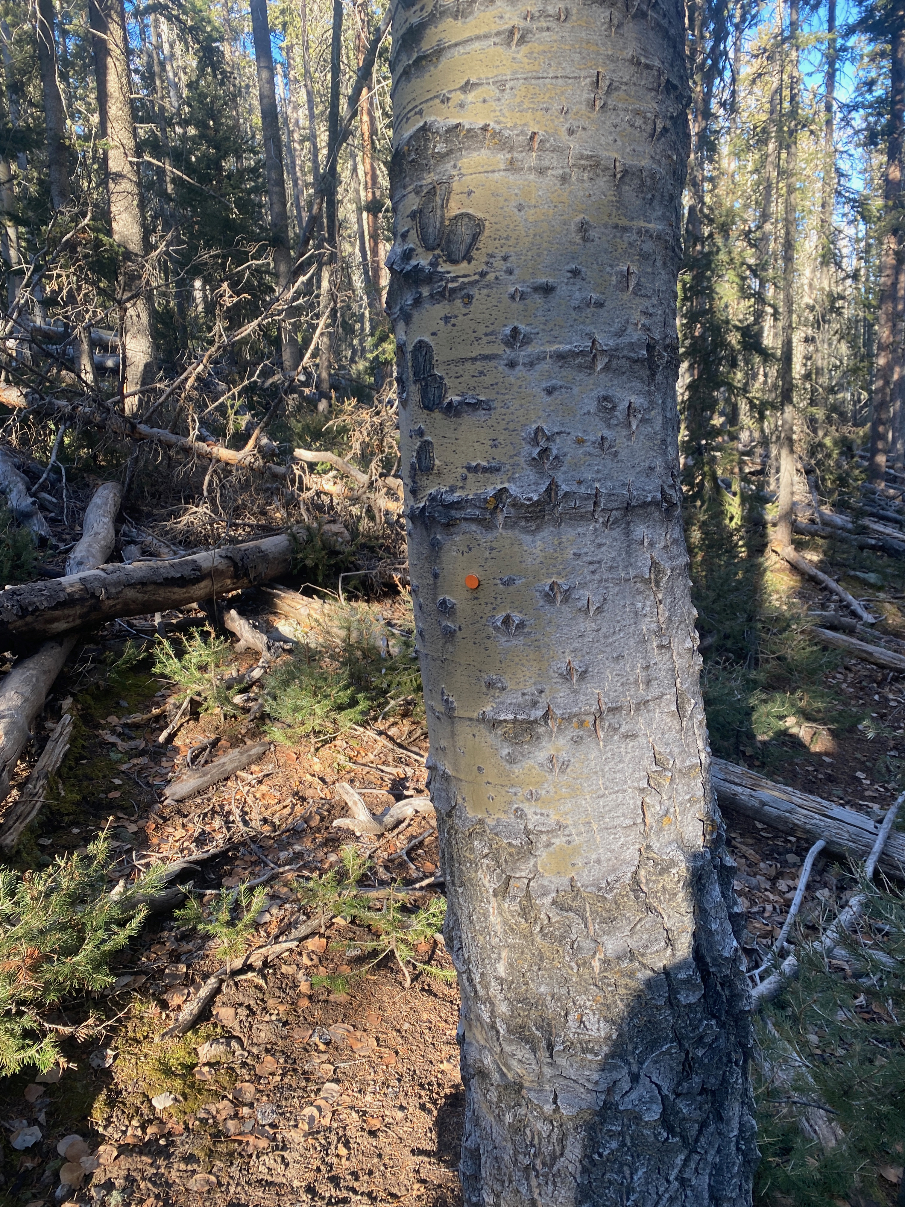
Tuff layers of volcanic ash laid down over a million years ago interspersed with basalt.
28 NOVEMBER 2025 W5N/SE-048

| Elevation: | 6,549′ |
| Route: | Nice trail |
| Hike Distance: | 4.33 miles round trip |
| Elevation Gain: | 1,000′ |
| Navigation: | Easy |
| Steepness: | Steep gaining the mesa |
| Vehicle: | Passenger car |
| Road: | Good dirt road |
| Cell Coverage: | Excellent Verizon |
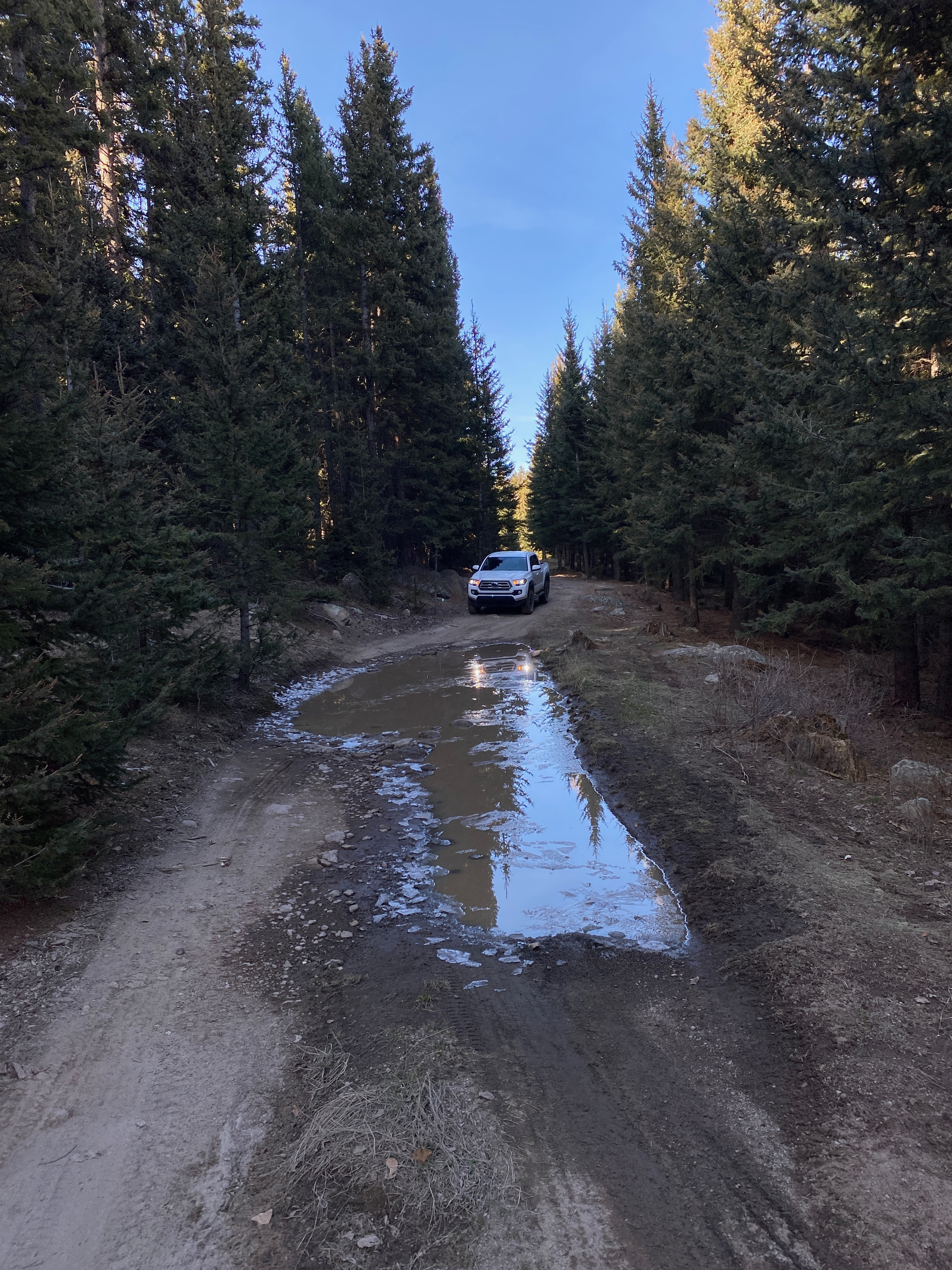
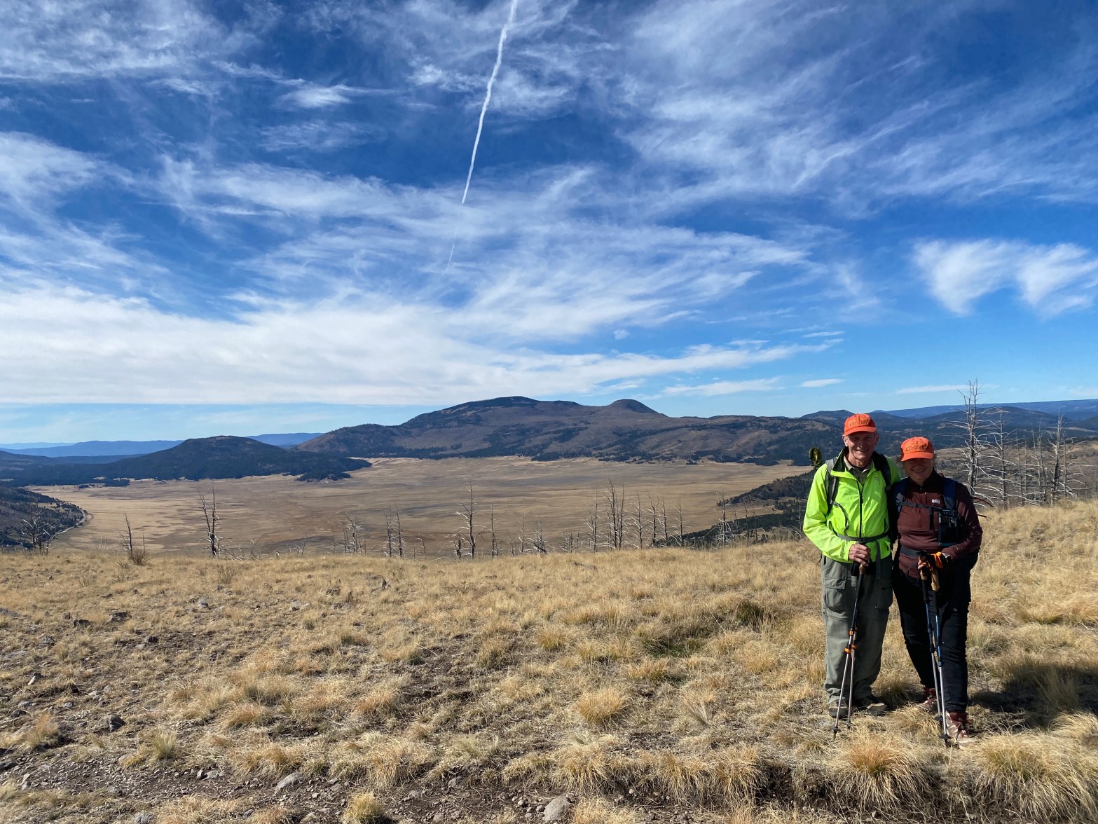
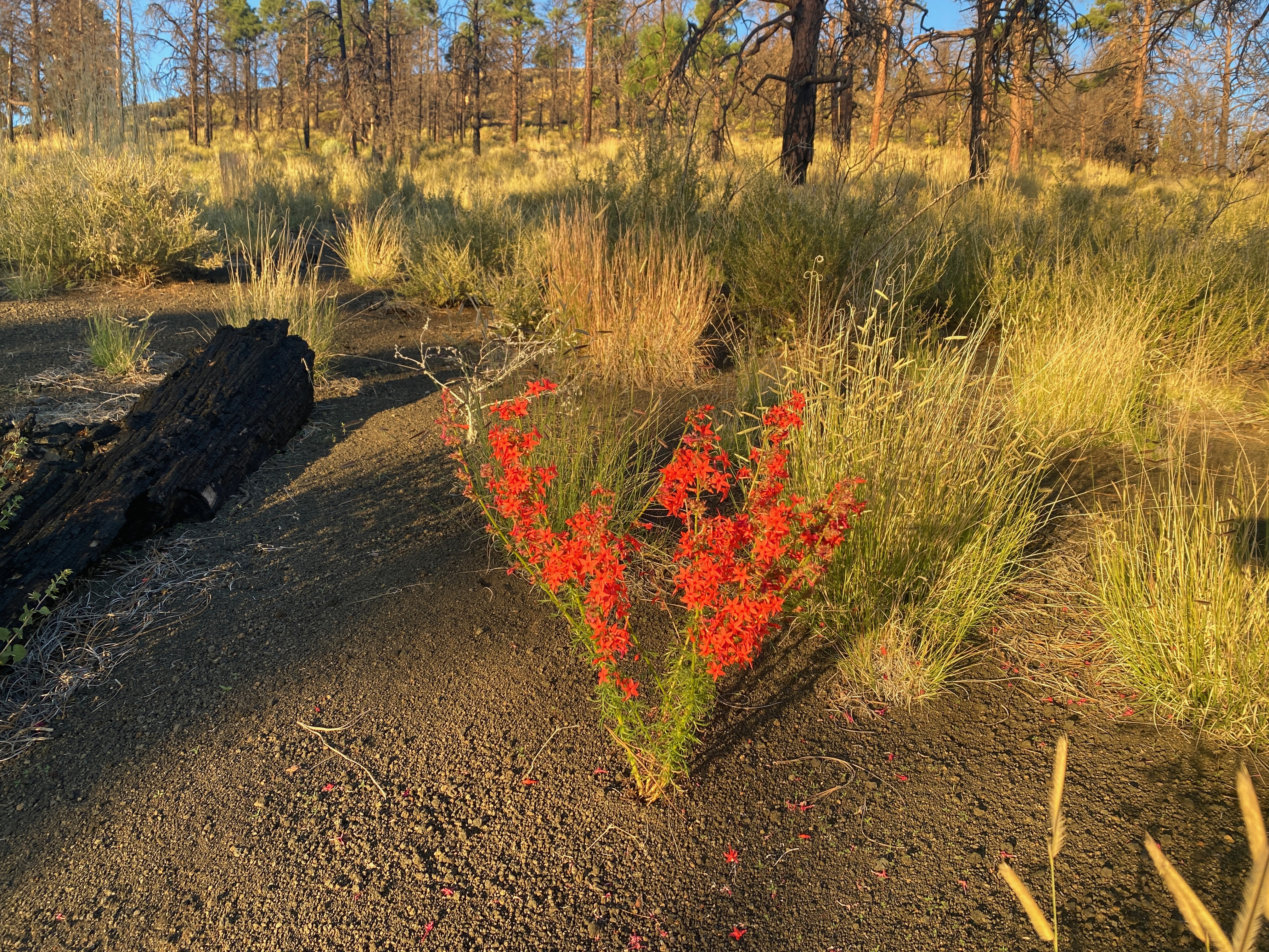
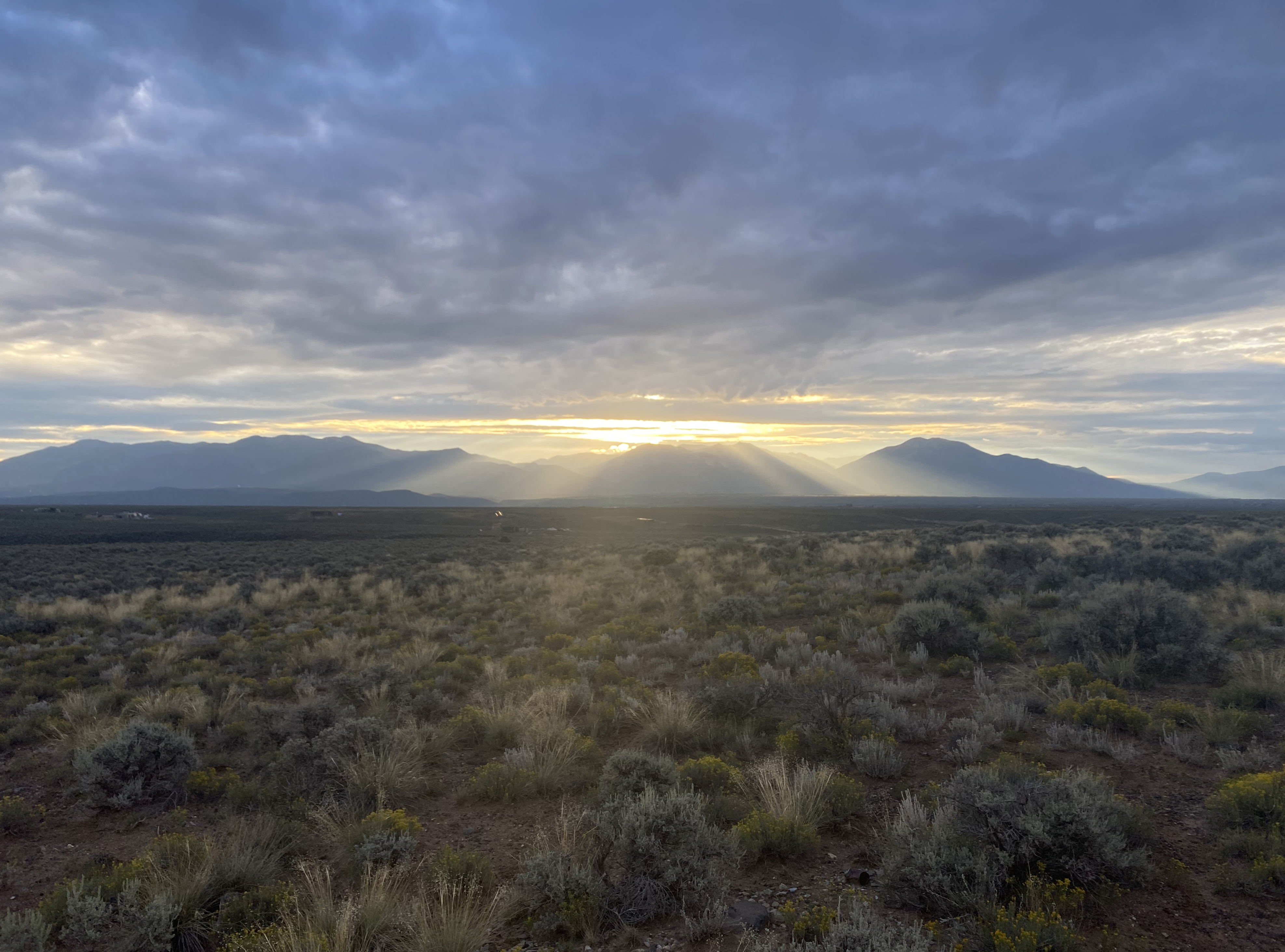
Wonderful hike! As Fred KT5X states “This is an excellent hike for locals and visitors alike!” Bring your camera and be prepared for glorious vistas, interesting geology, flora, fauna and some fascinating history. My only caveat is that given the uphill sections are all southern exposures, this is one best done in cooler weather. Glittery frost and ice on the puddles marked my path as I left Whitedog by the Rio Grande with temps in the 20’s.
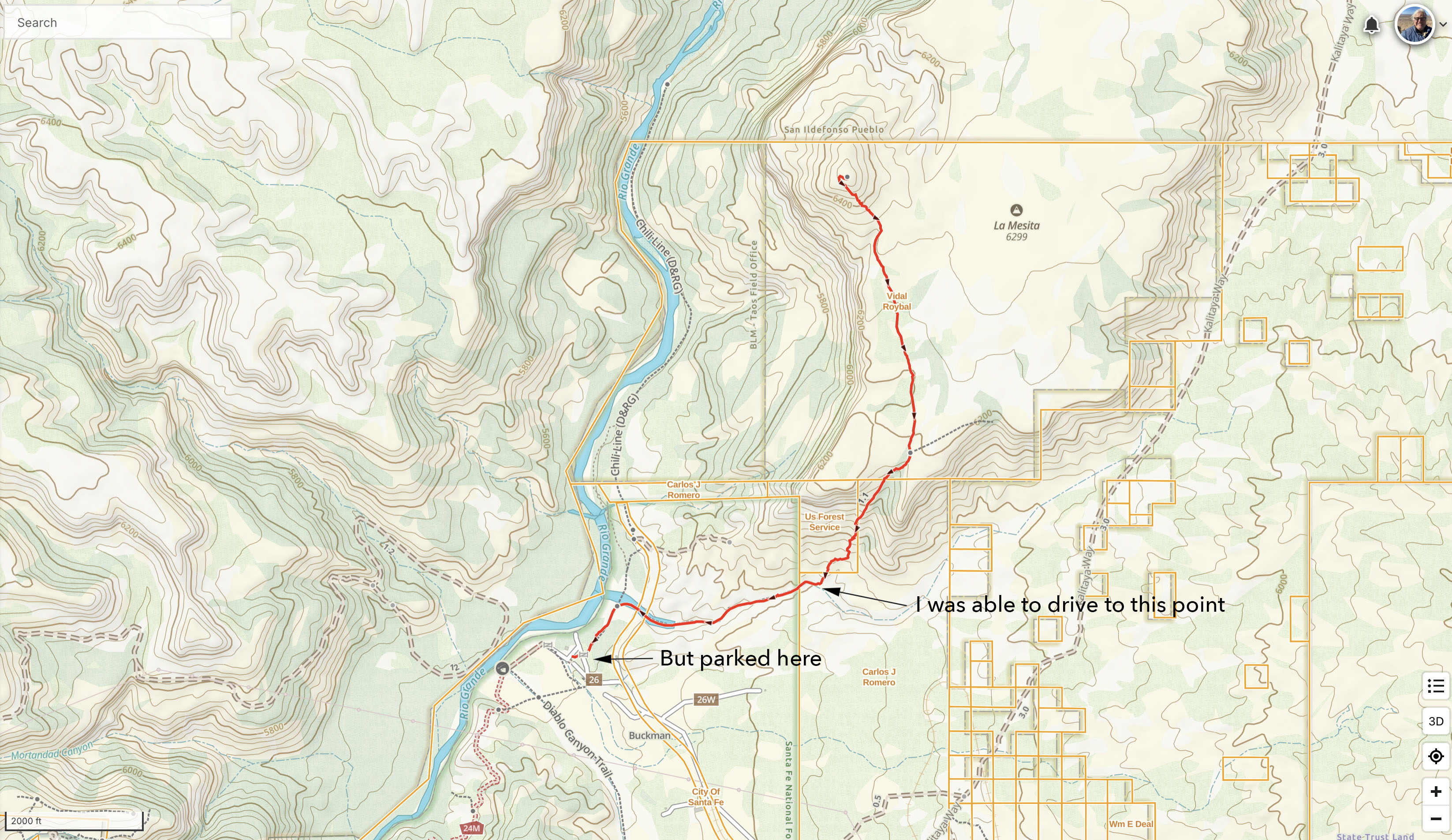
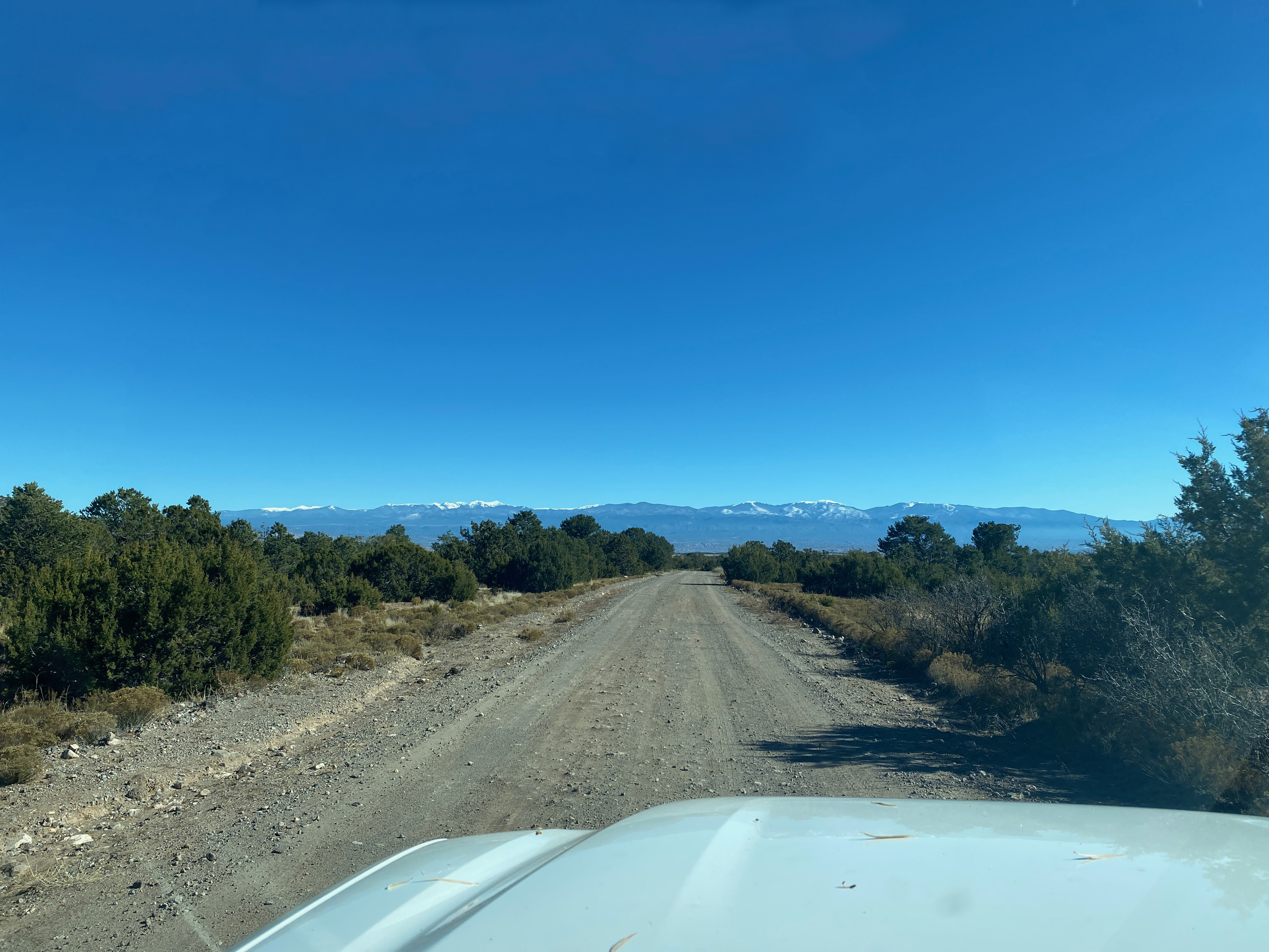
It was so-called Black Friday, a good time to avoid retail stores and to work off an excessive amount of mashed potatoes and the appropriately named stuffing from the day before. The drive leaves the Relief Route 599 at Camino la Tierra and wends its way through the tony neighborhoods of Las Campanas. At about 2 miles of this junior autopia, take a right on to Old Buckman Road. The road is good dirt from here.
This route is historic in the it was path of the Santa Fe spur of the Denver and Rio Grande Western Railroad (D&RGW). The was popularly called the Chili Line for the condiment that it was famous for transporting. Henry S. Buckman was a Oregon lumberman who purchased a lease to cut timber on the Parajito Plateau. It was Buckman that constructed the road up the west side of the Rio Grande to what would later become Los Alamos Ranch School for Boys that would be attended by a young Robert Oppenheimer.
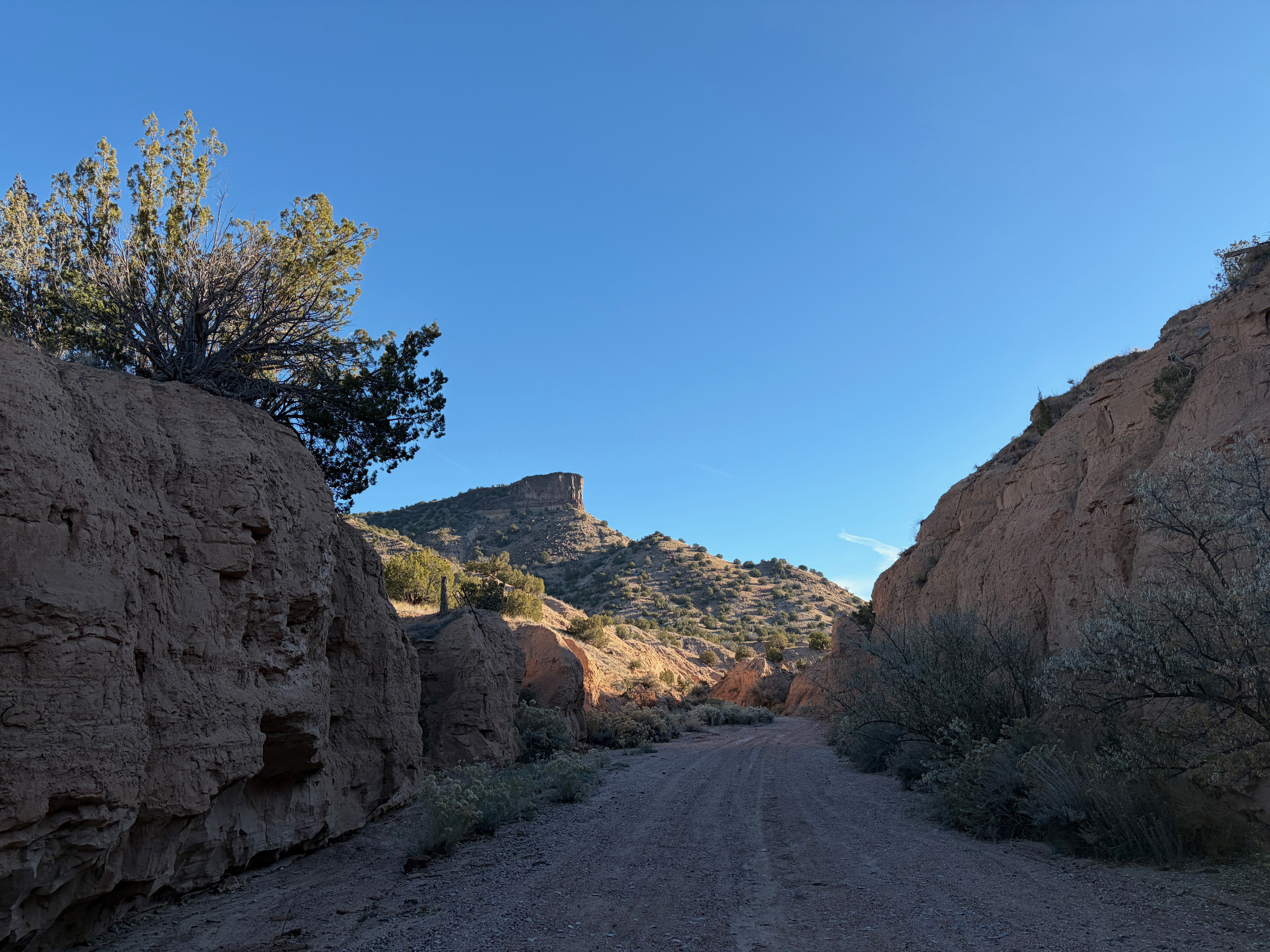
Three miles down Old Buckman Road the route joins Cañada Ancha or “wide ditch” in Spanish. This takes us deeper into history to the Spanish Colonial period. We are now on the historic path of El Camino Real or The King’s Road. This is the segment that led generally north from Santa Fe to the Española Valley. This way passes several large groundwater pumping facilities to slake the relentless thirst of the Greater Santa Fe Area.
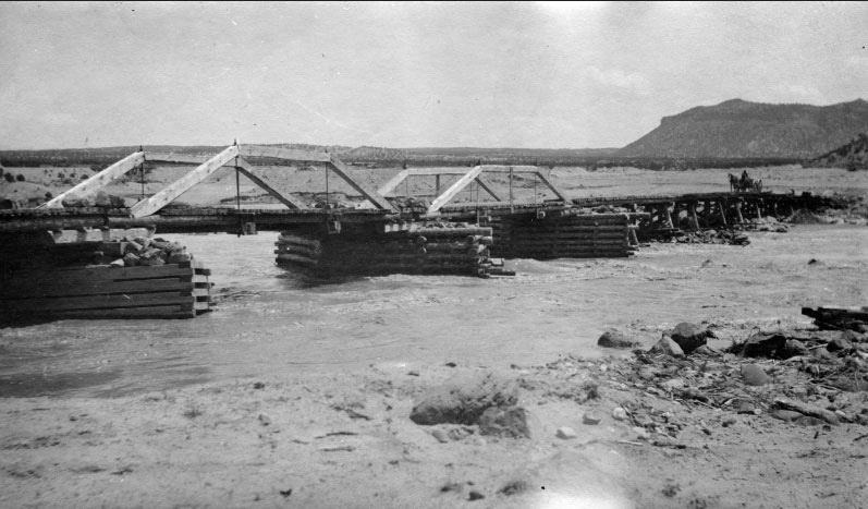
After passing the Diablo Canyon trailhead, Old Buckman Road terminates at the site of the town of Buckman. Henry Buckman constructed a crude bridge across the Rio Grande to haul his lumber down from Los Alamos and a small town sprang up on the site. This would be the only bridge in the area for many years until the Otowi Bridge was constructed on HIghway 502 to the north to handle the heavy traffic into Los Alamos.

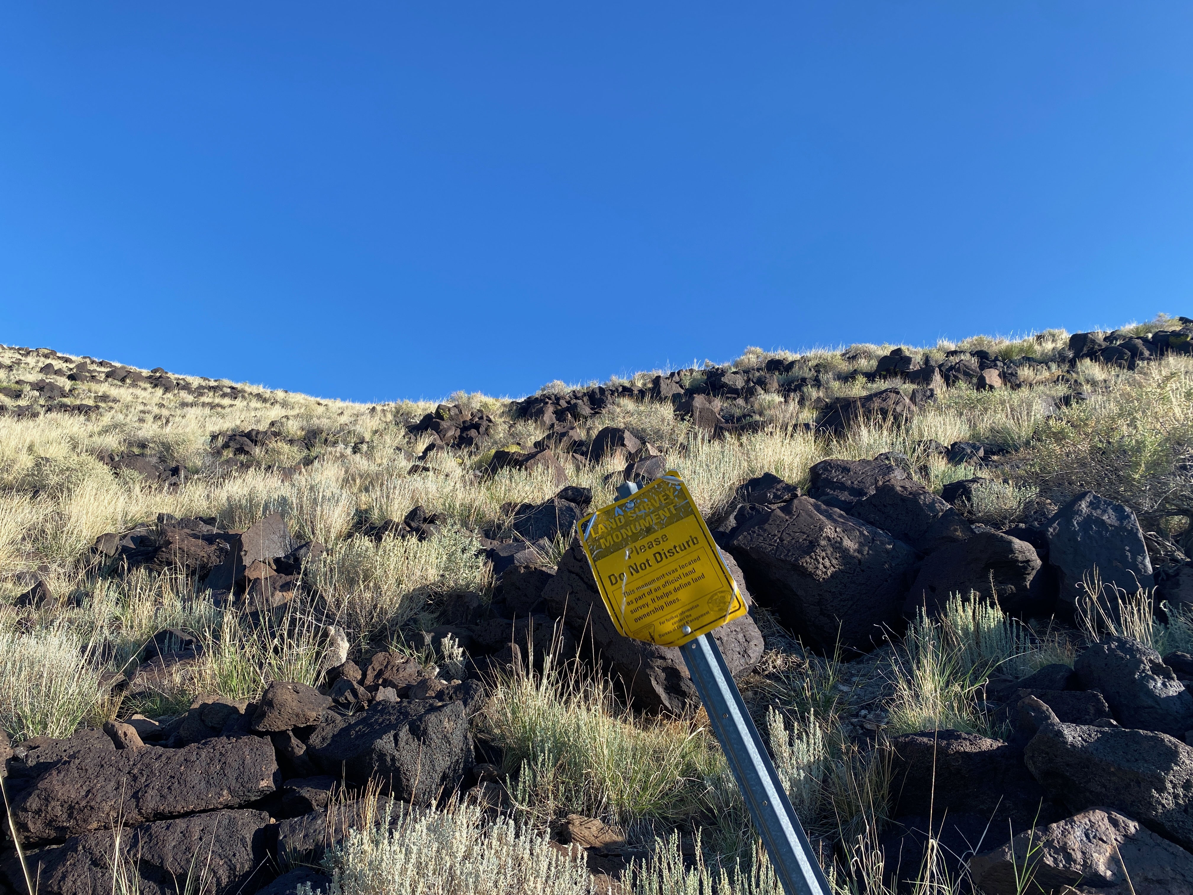
Although I was able to drive through a gate and up the wash past the site Old Buckman to the point at which the trail leaves the wash, I decided that it was better to park at the outhouse back in the Santa Fe National Forest. According to my property maps, the route crosses a corner of property of Carlos J. Romero at the start of the trail up the mesa’s apron.
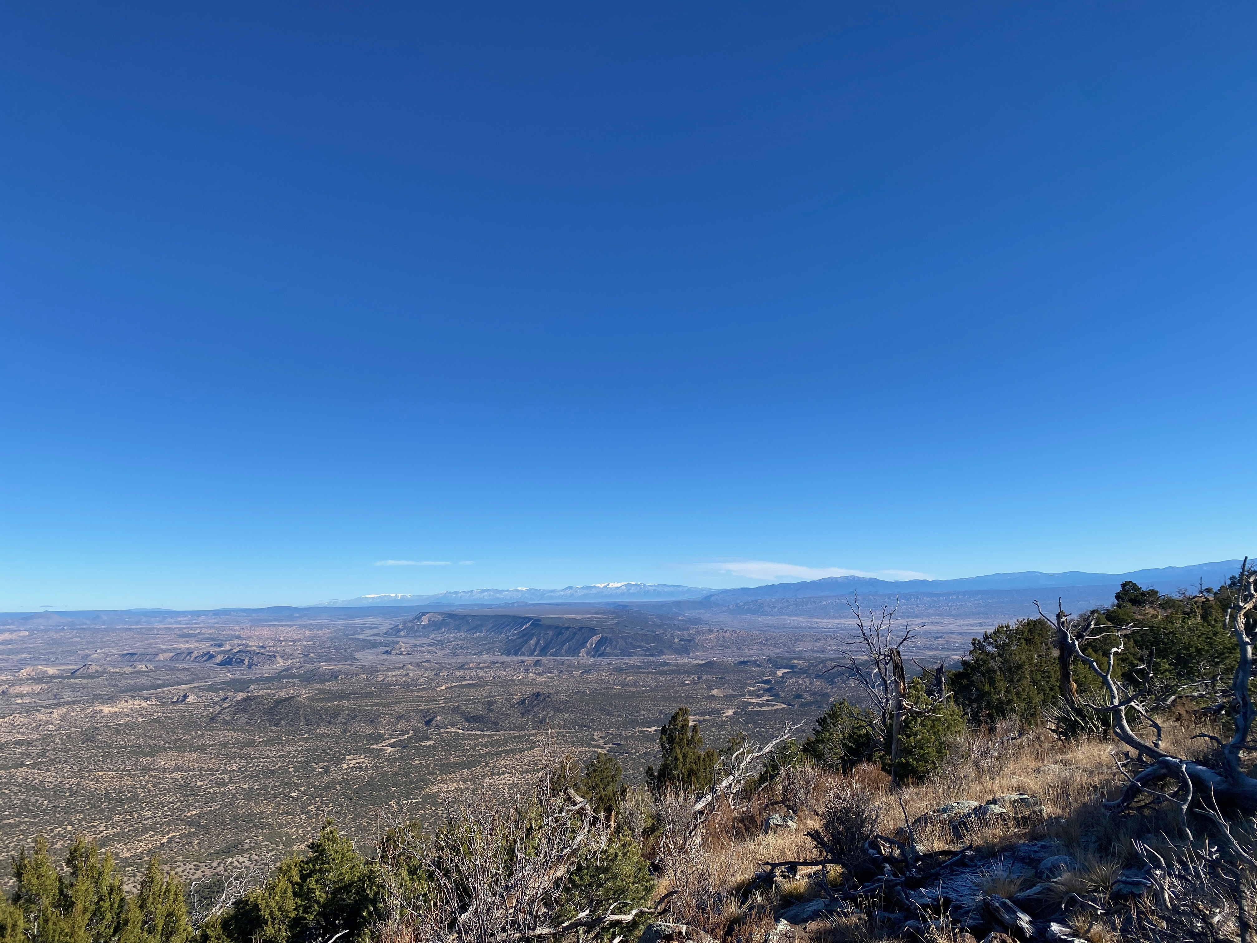
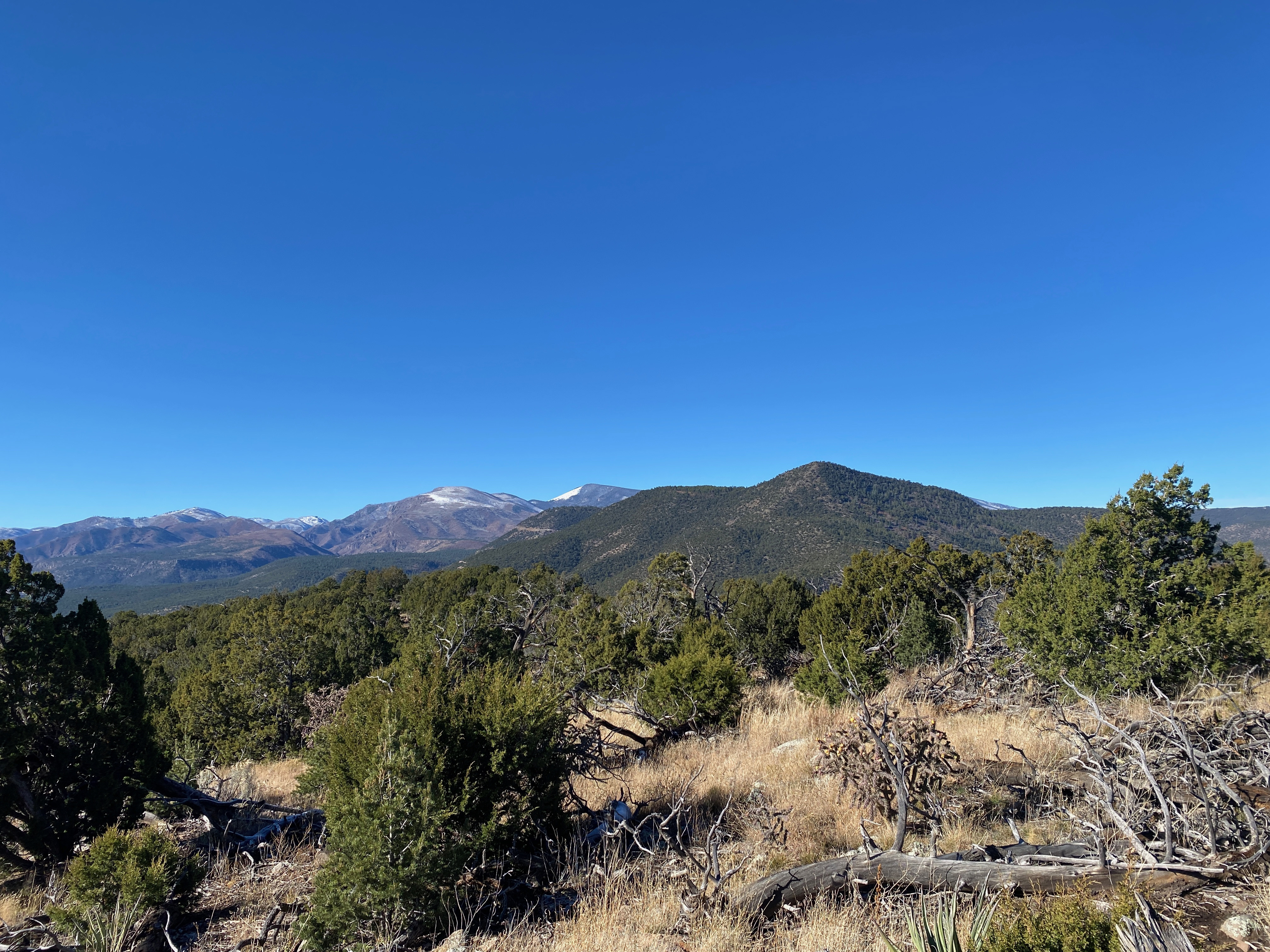
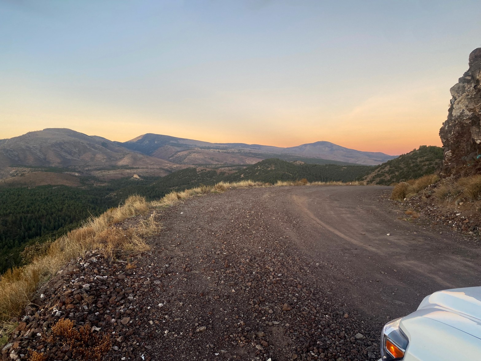
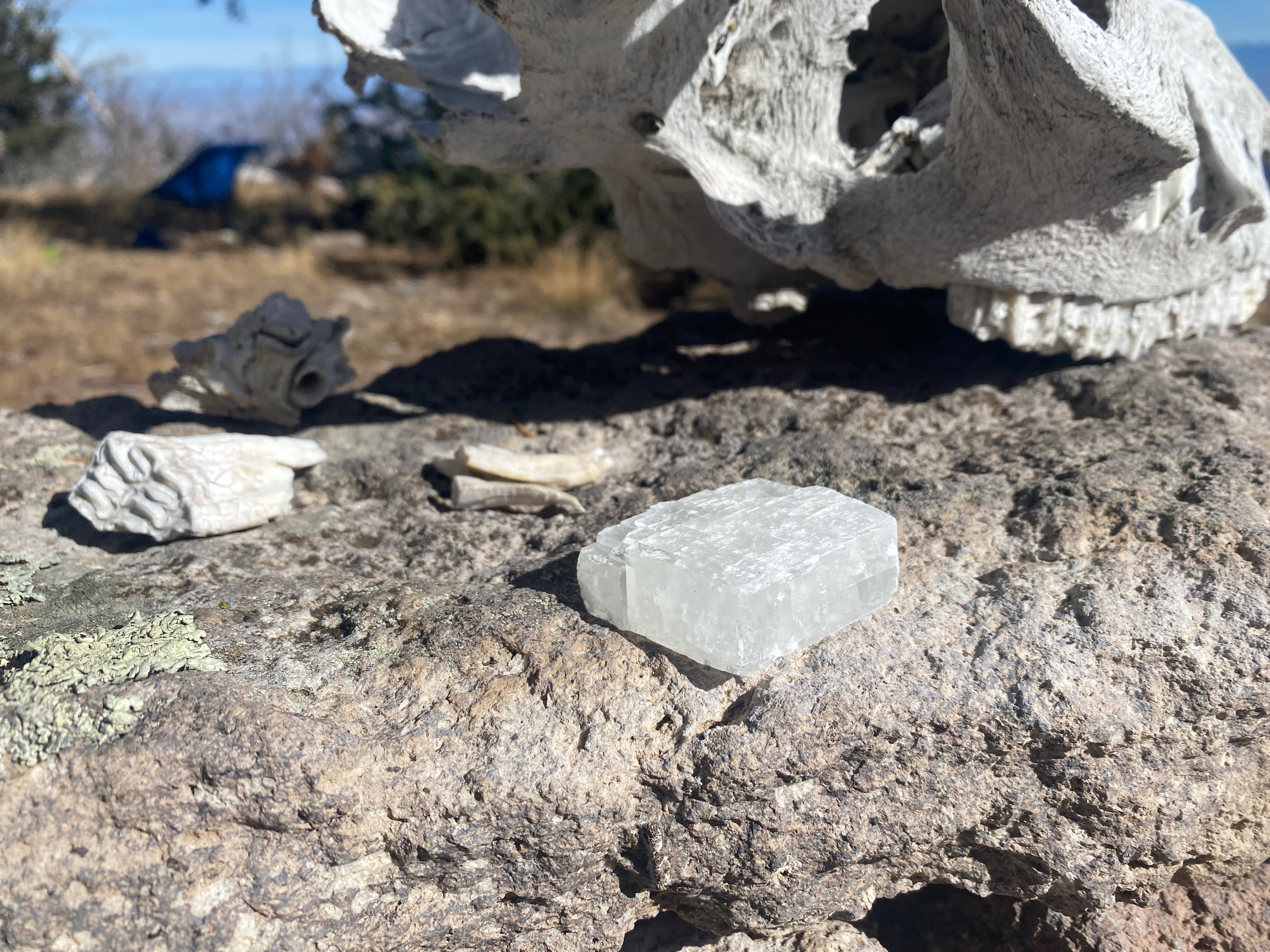
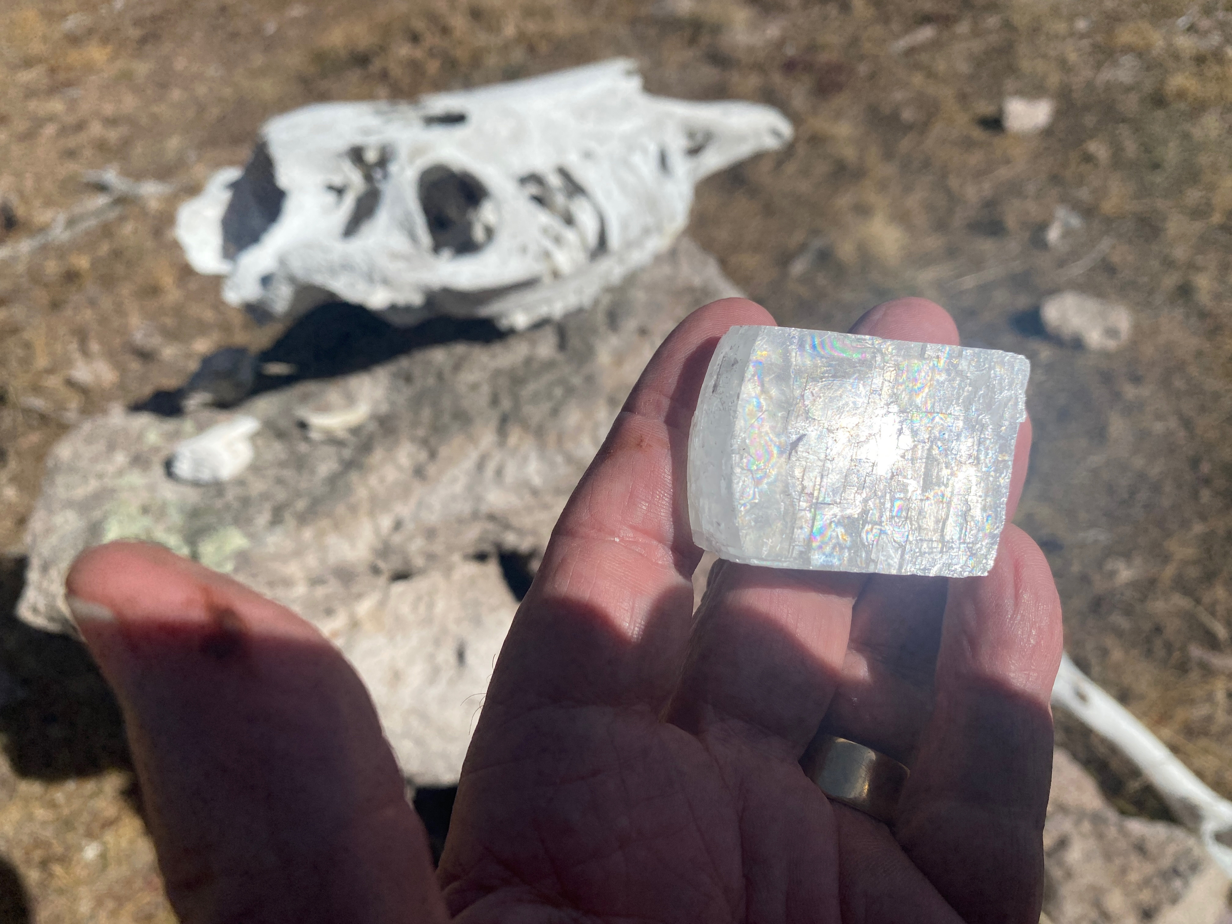
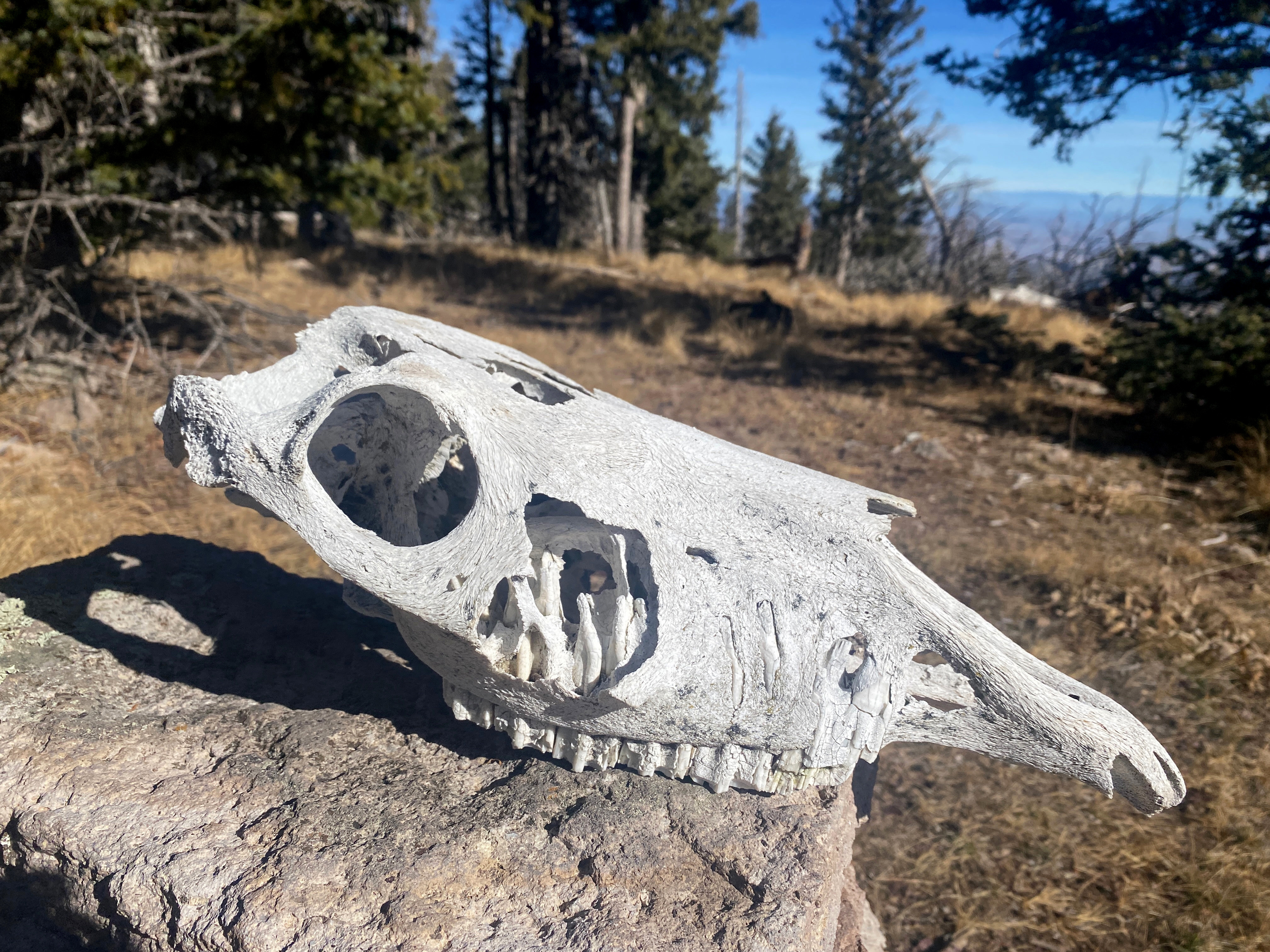
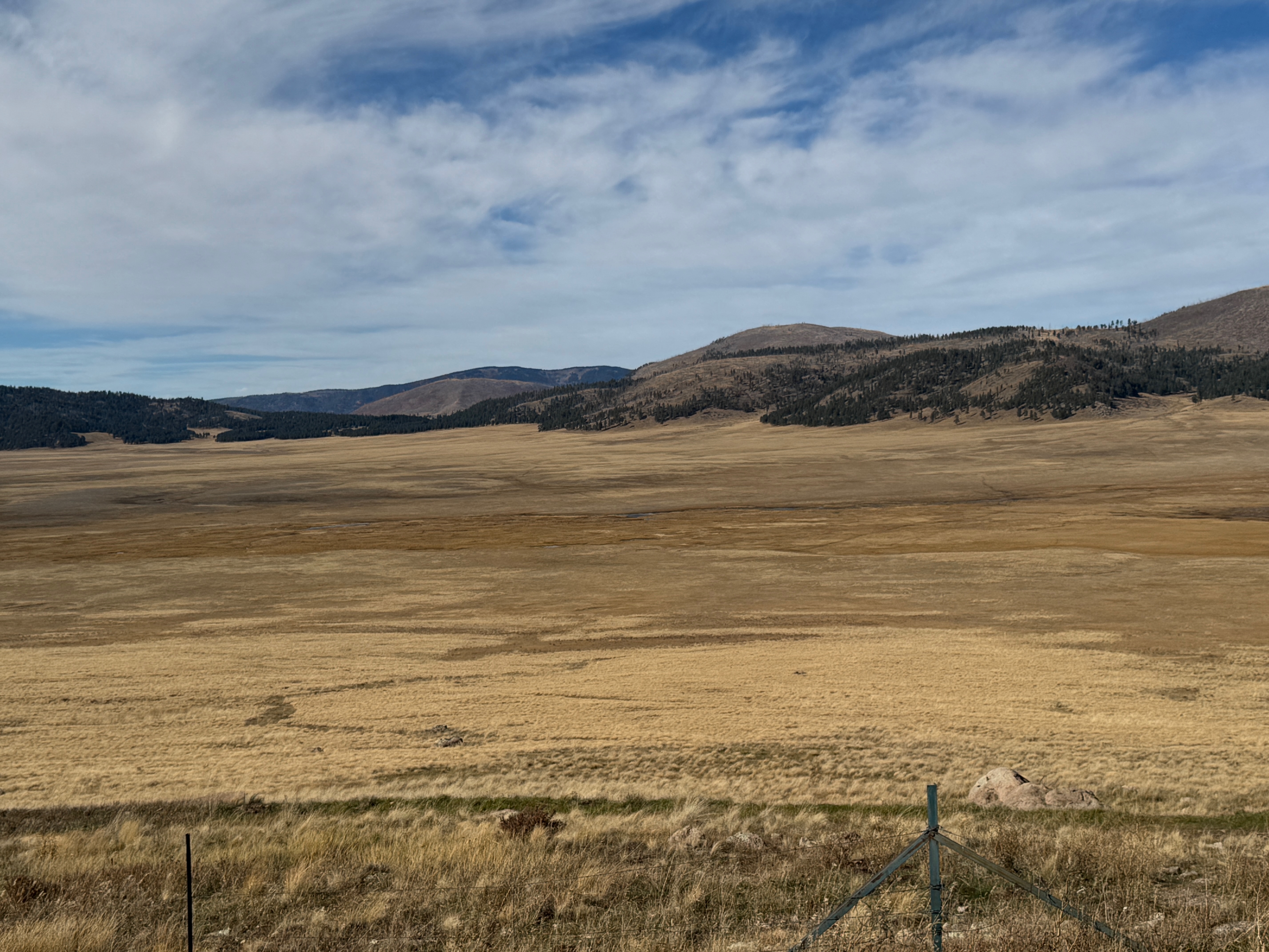
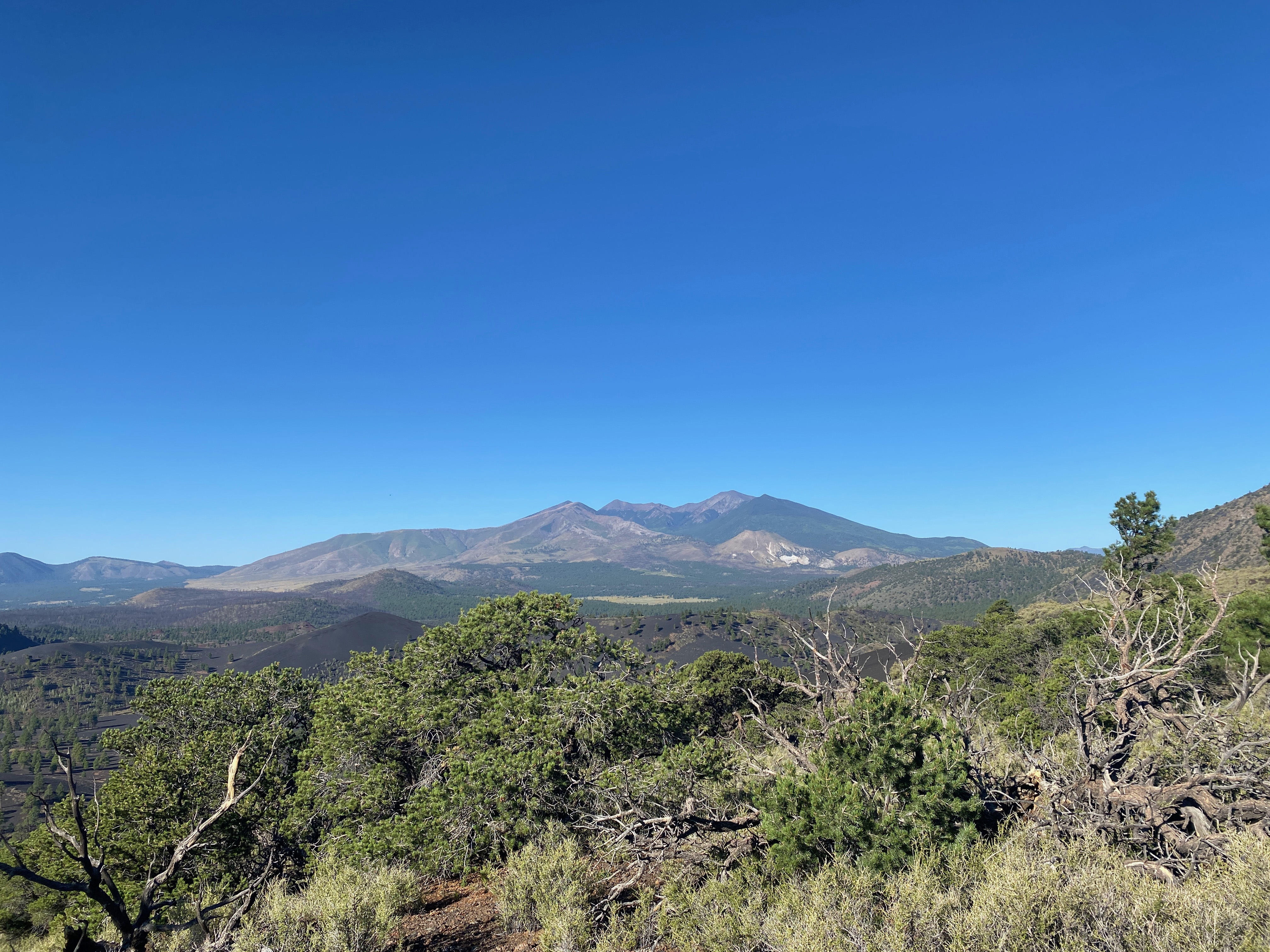
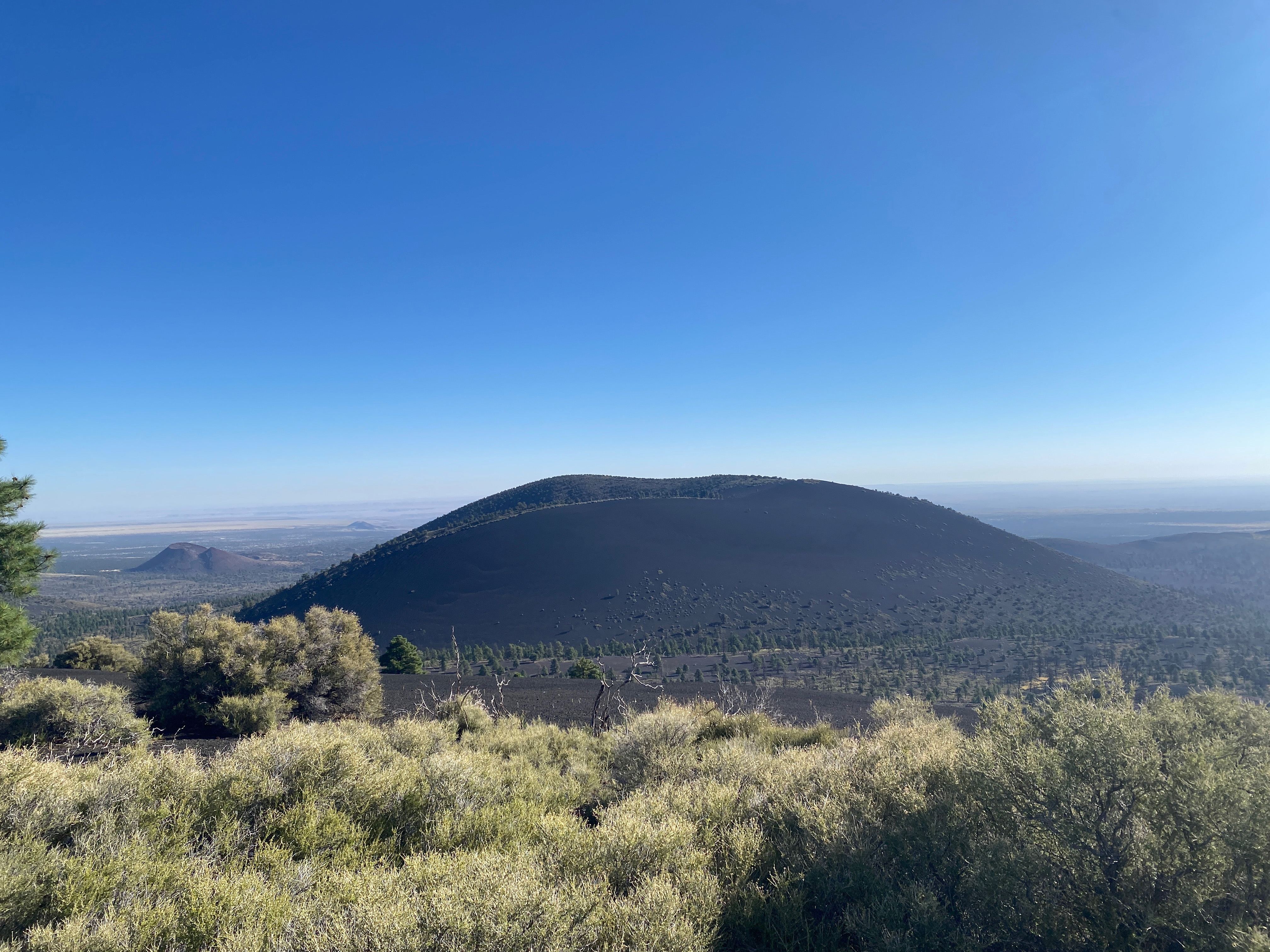
As I left Whitedog at the Buckman trailhead frost and ice glittered along the sandy road. I felt I was moving even further into the past. Before the tony neighborhoods and thirsty wells of Santa Fe, Before Henry Buckman and his rapacious appetite for ponderosa, even before The King’s road. Buckman Mesa reverts to La Mesita, reverts to Otowi Peak and the people of San Ildefonso Pueblo, and even to the people before them who made the cryptic rock art and petroglyphs on the rocks, to the rocks themselves of Rio Grande Rift and the Santa Fe group.
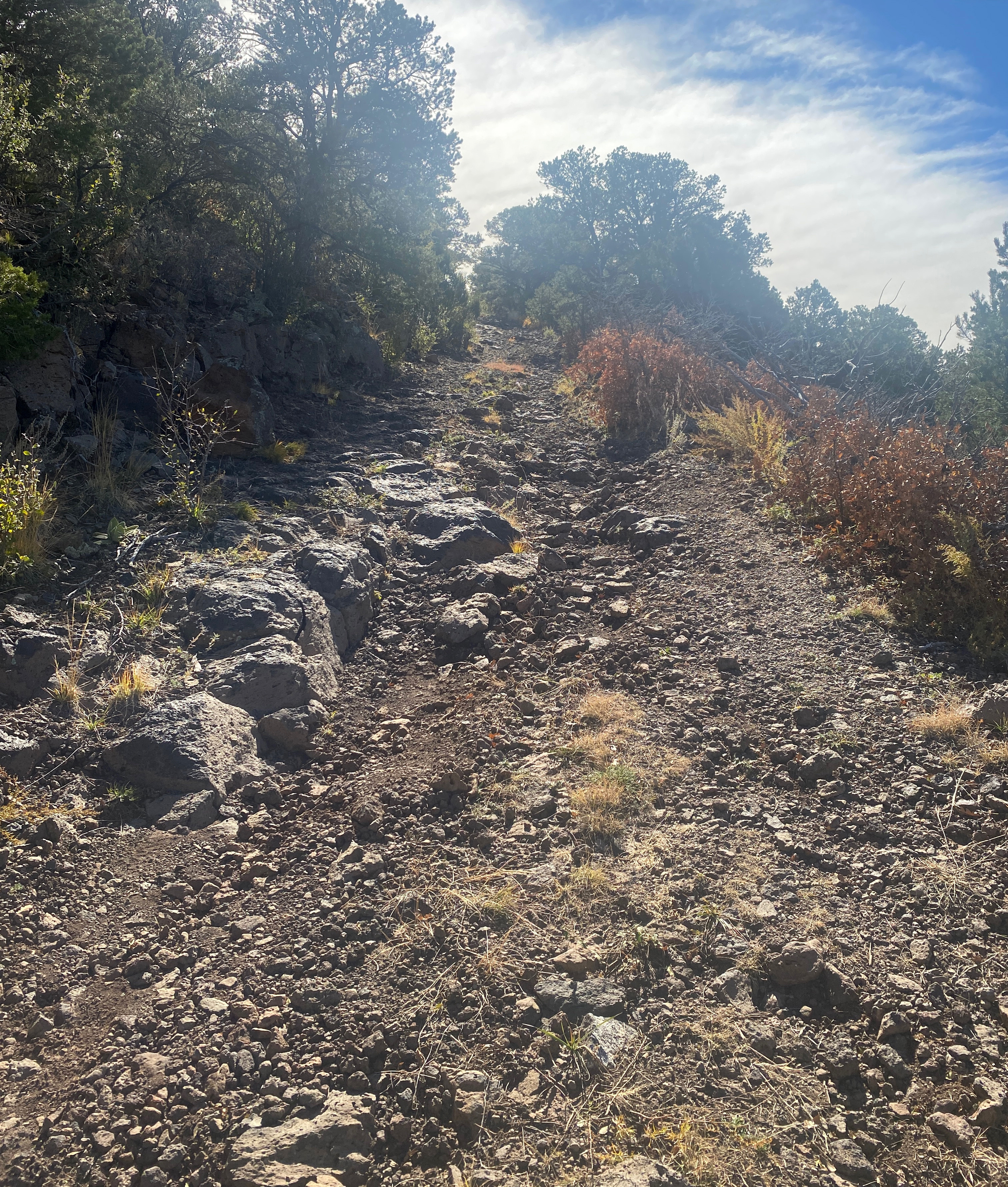
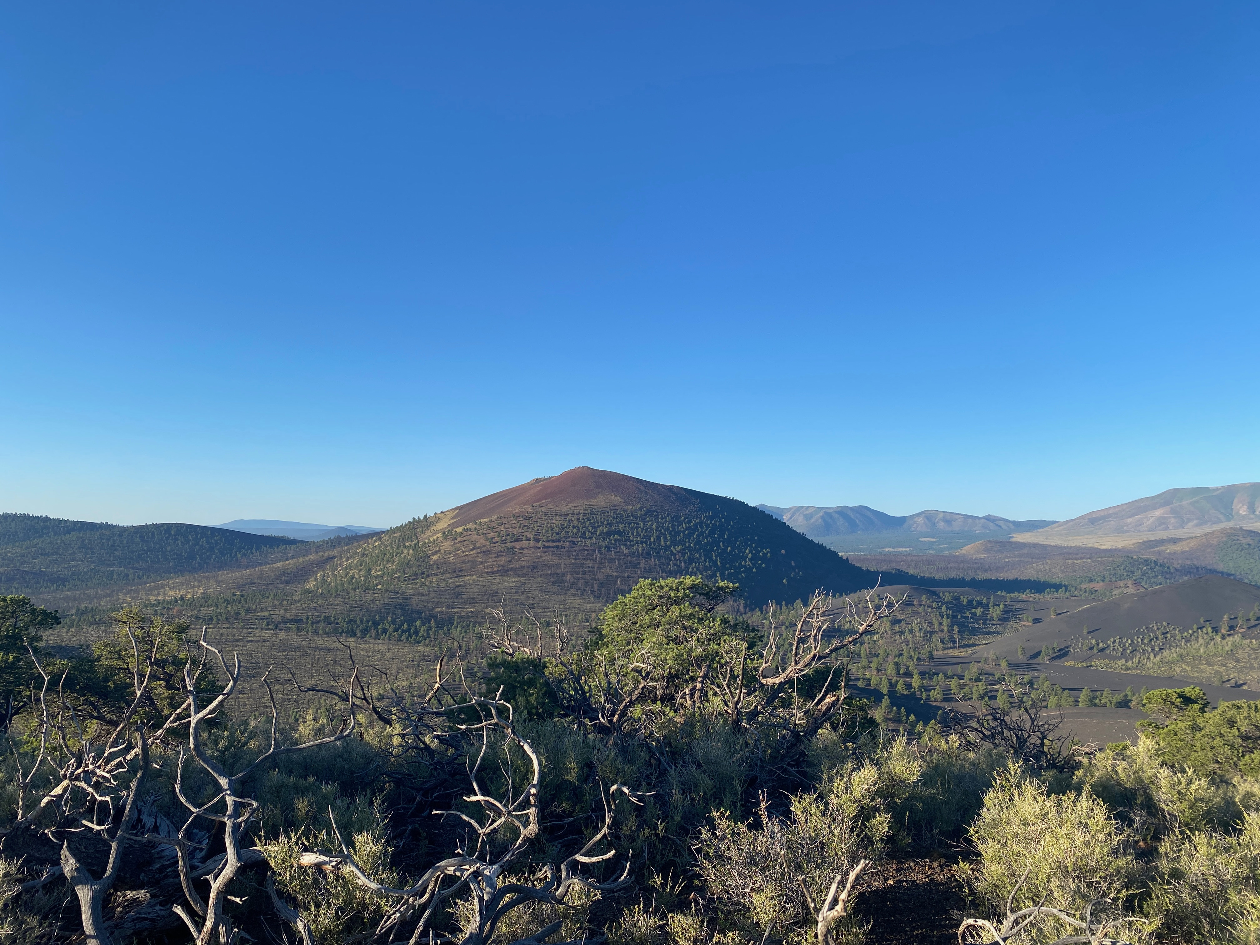
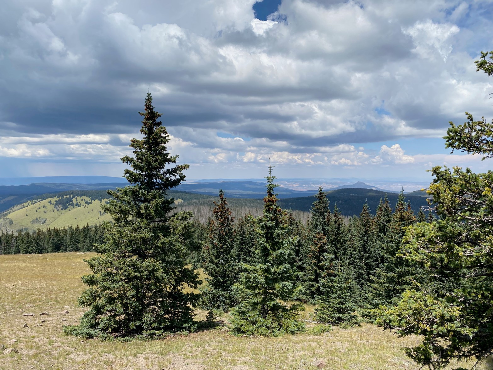
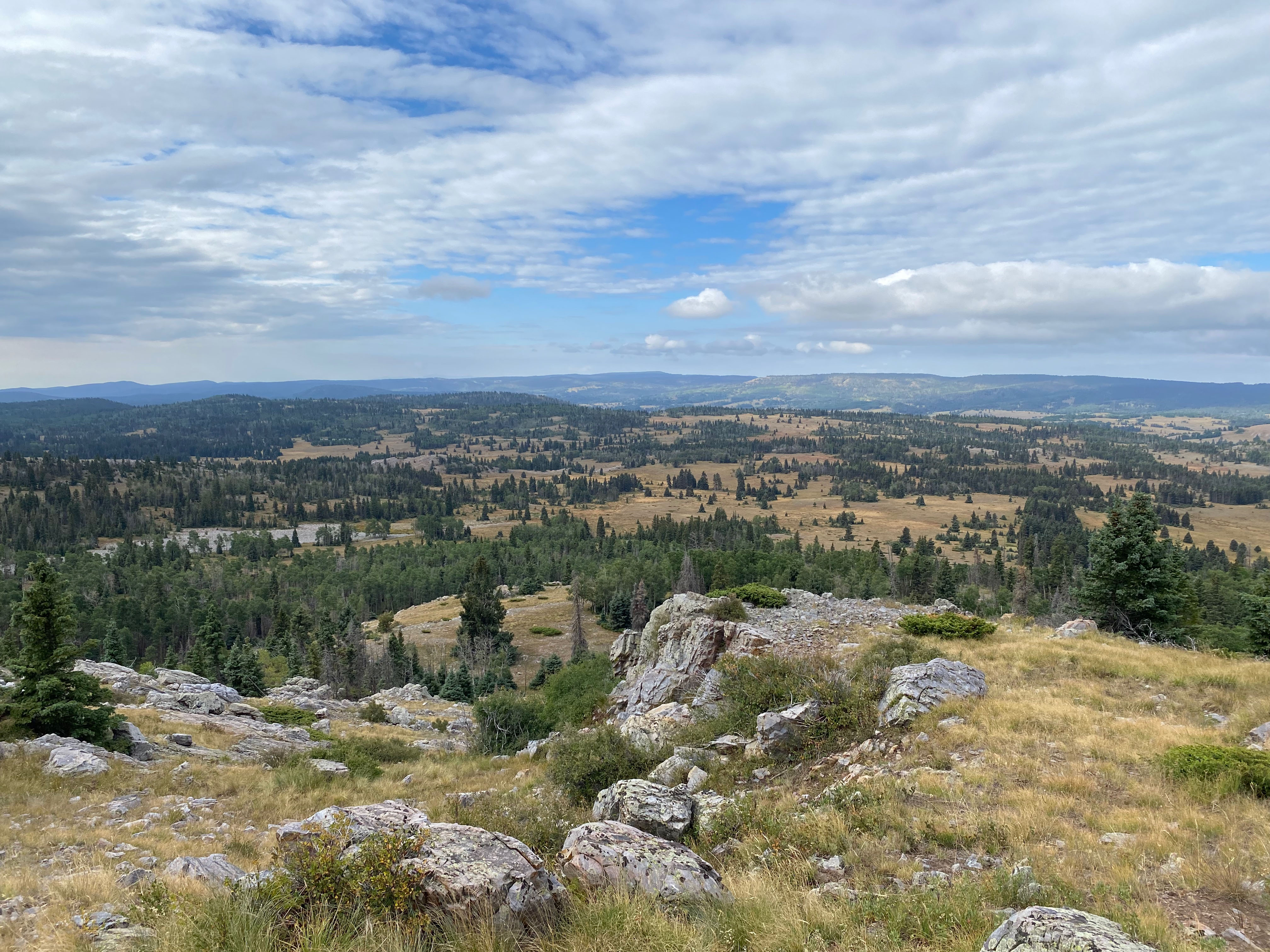
The igneous geology of this area is fascinating. What my foreign eye first took to be sedimentary layers of sandstone interspersed among the obvious lava basalt of the volcanos of the massive Jemez Lineament turns out to be pyroclastic duff – or the massive amount of volcanic ash spewed across this dramatic terrain by two massive explosions about 1 and 1.5 million years ago. This ash settled into the striations that mimic the water-washed layers sedimentary rock. These igneous layers are what we now see among the obvious lava on the way up this ancient trail.
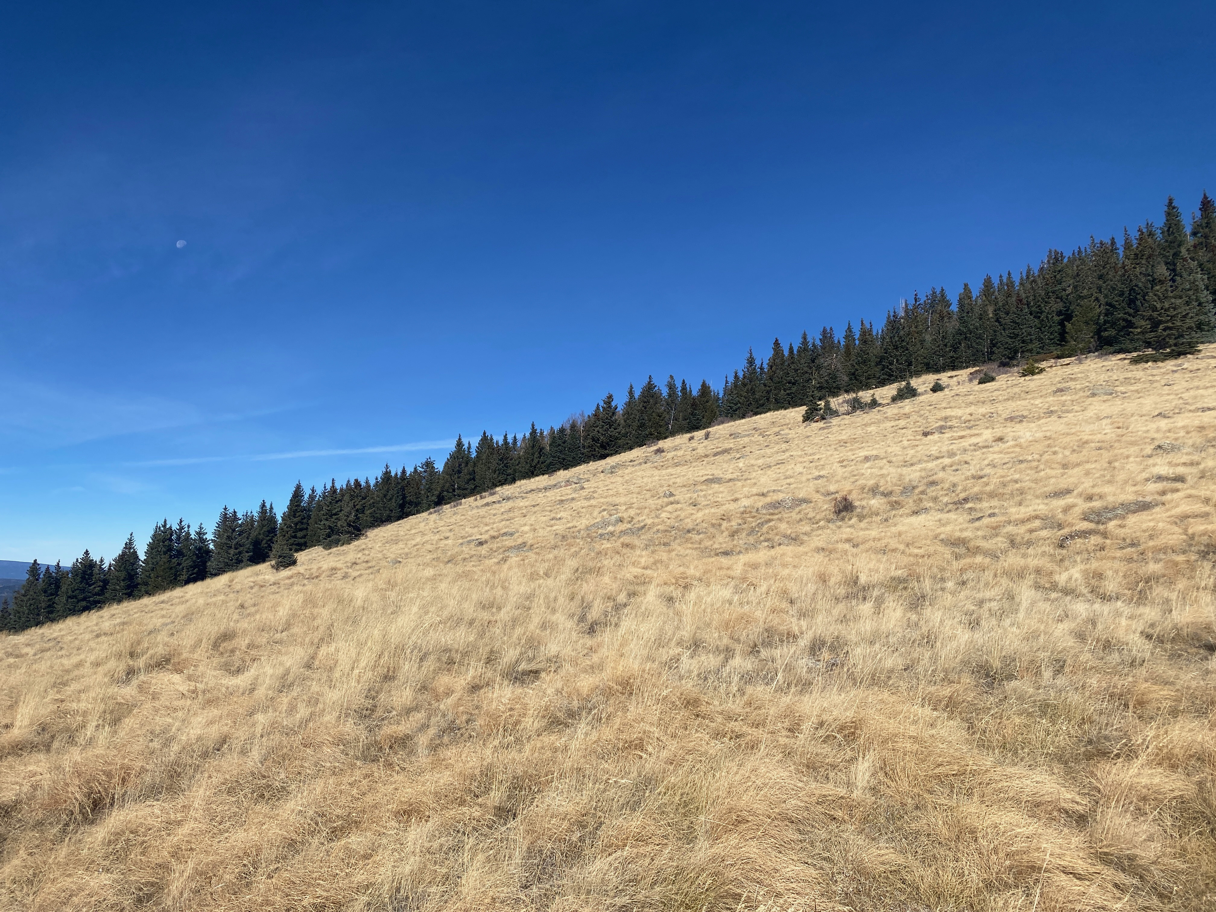
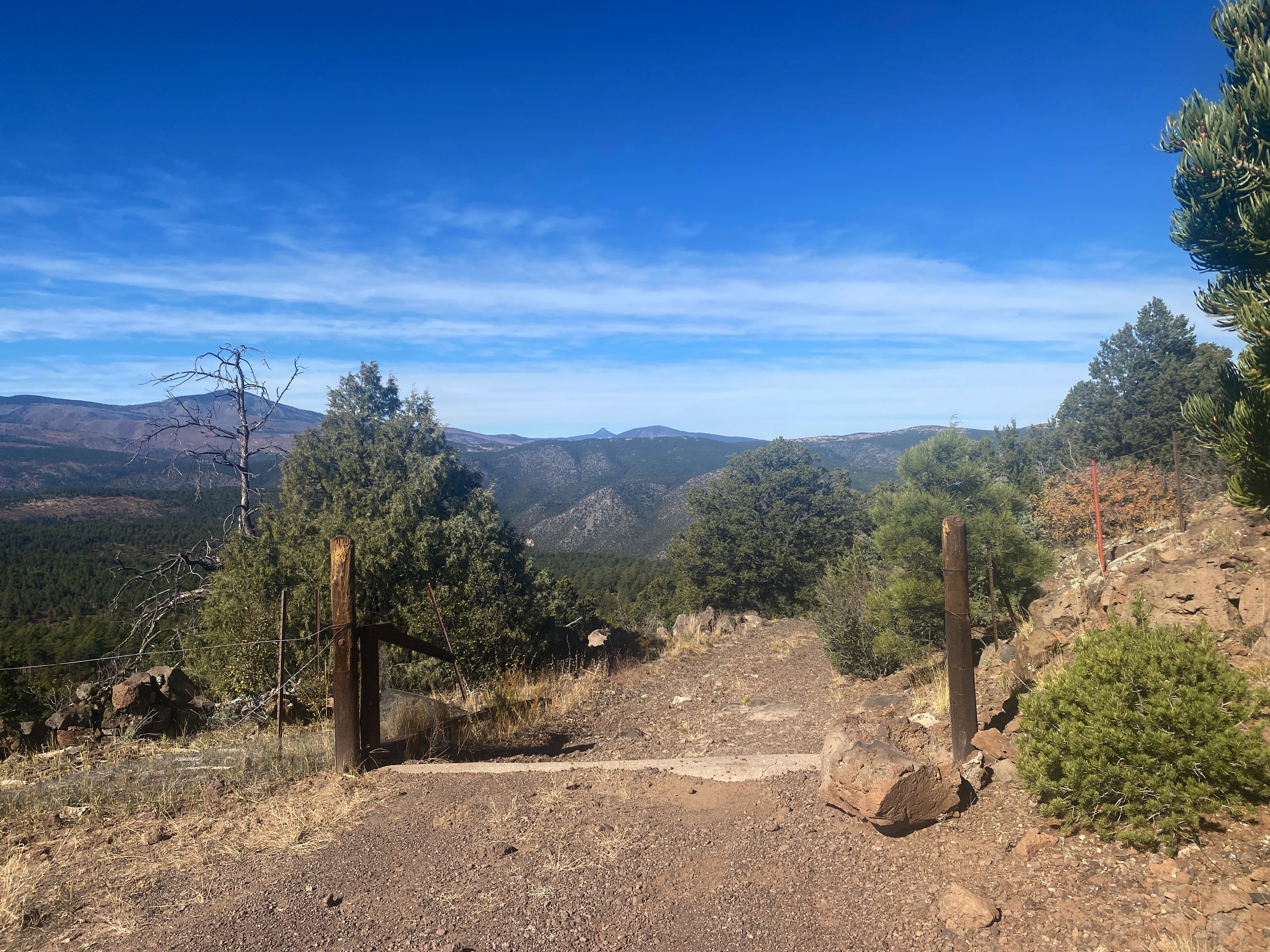
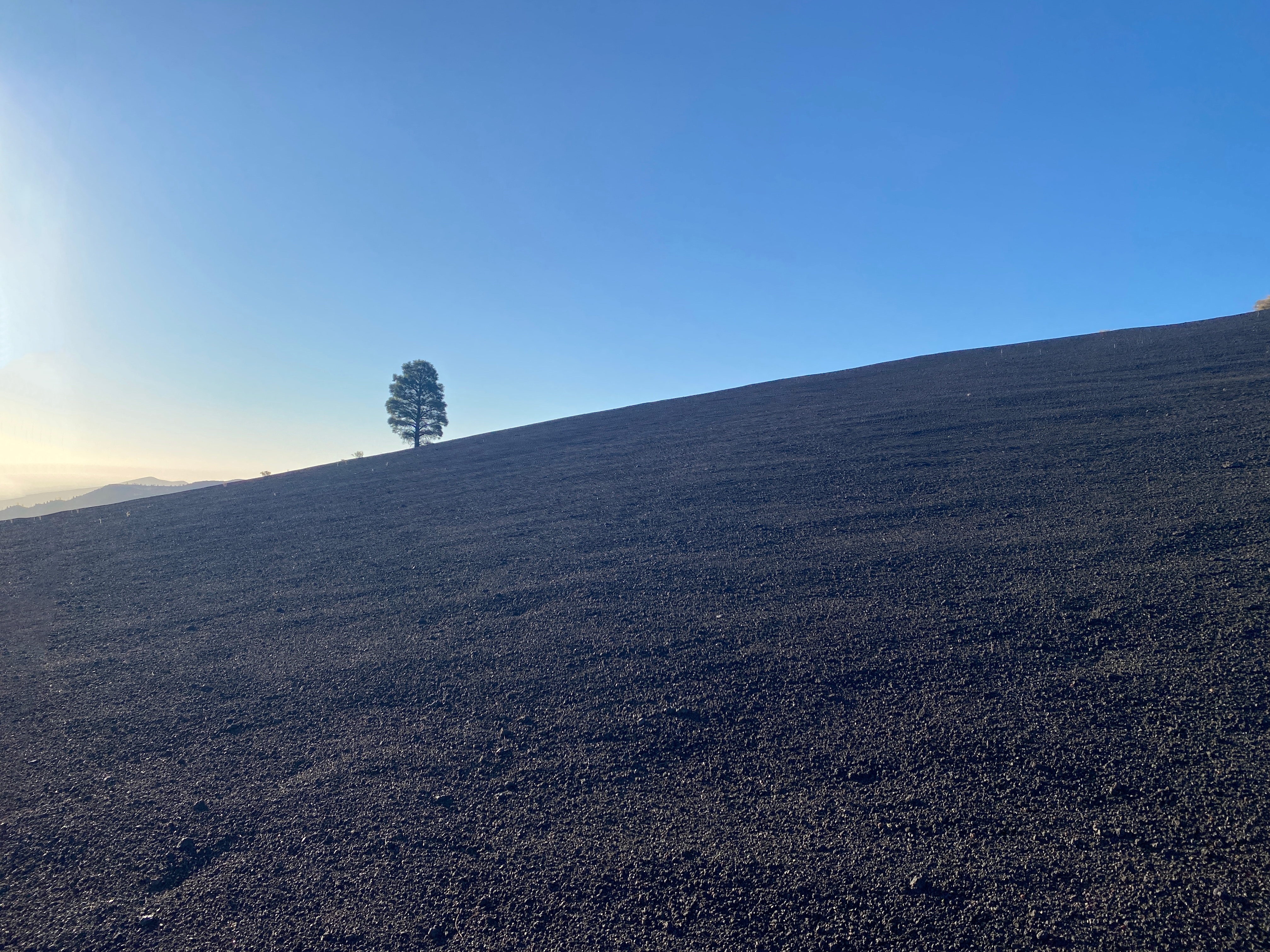
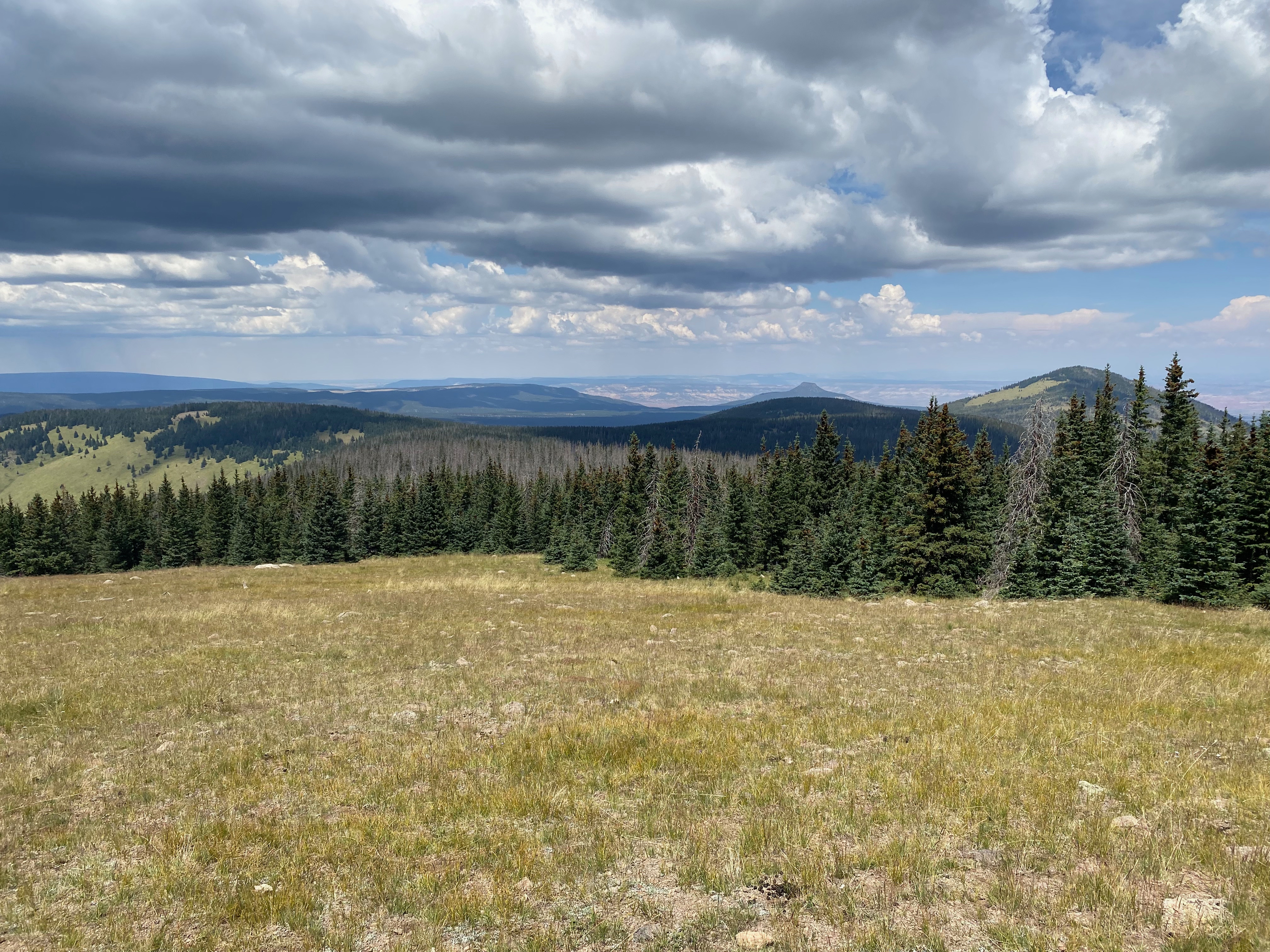
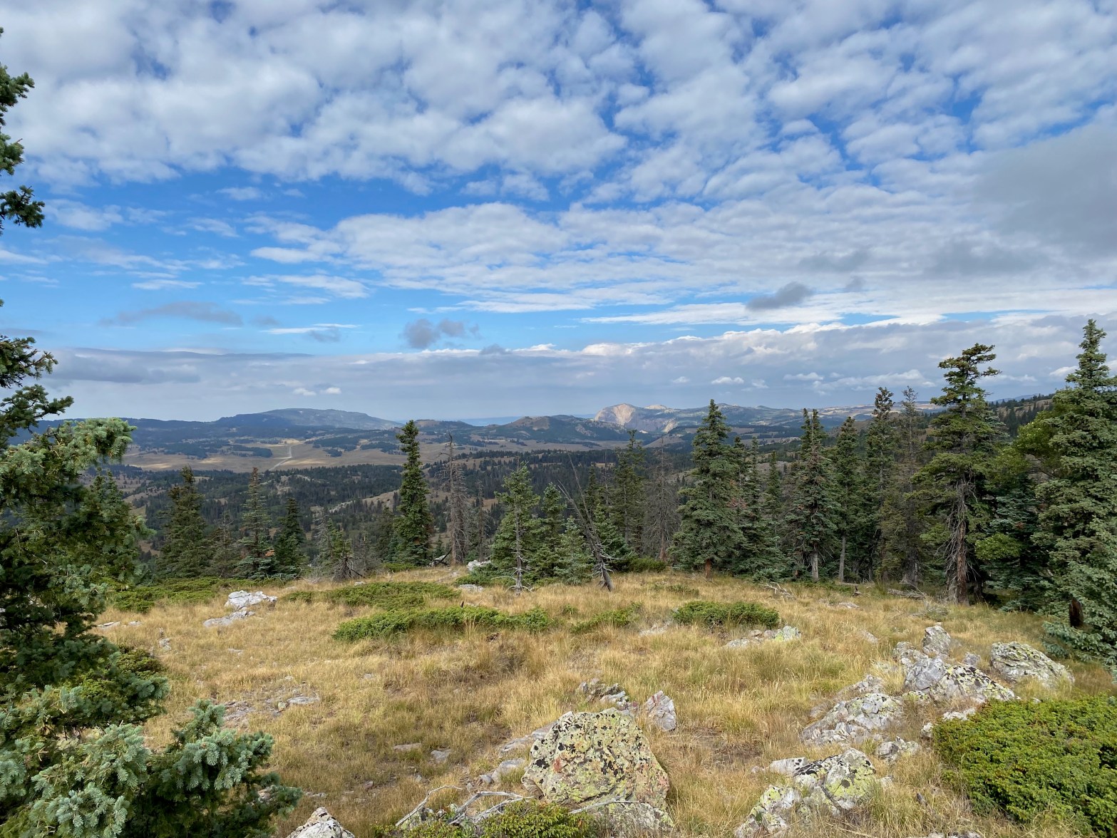
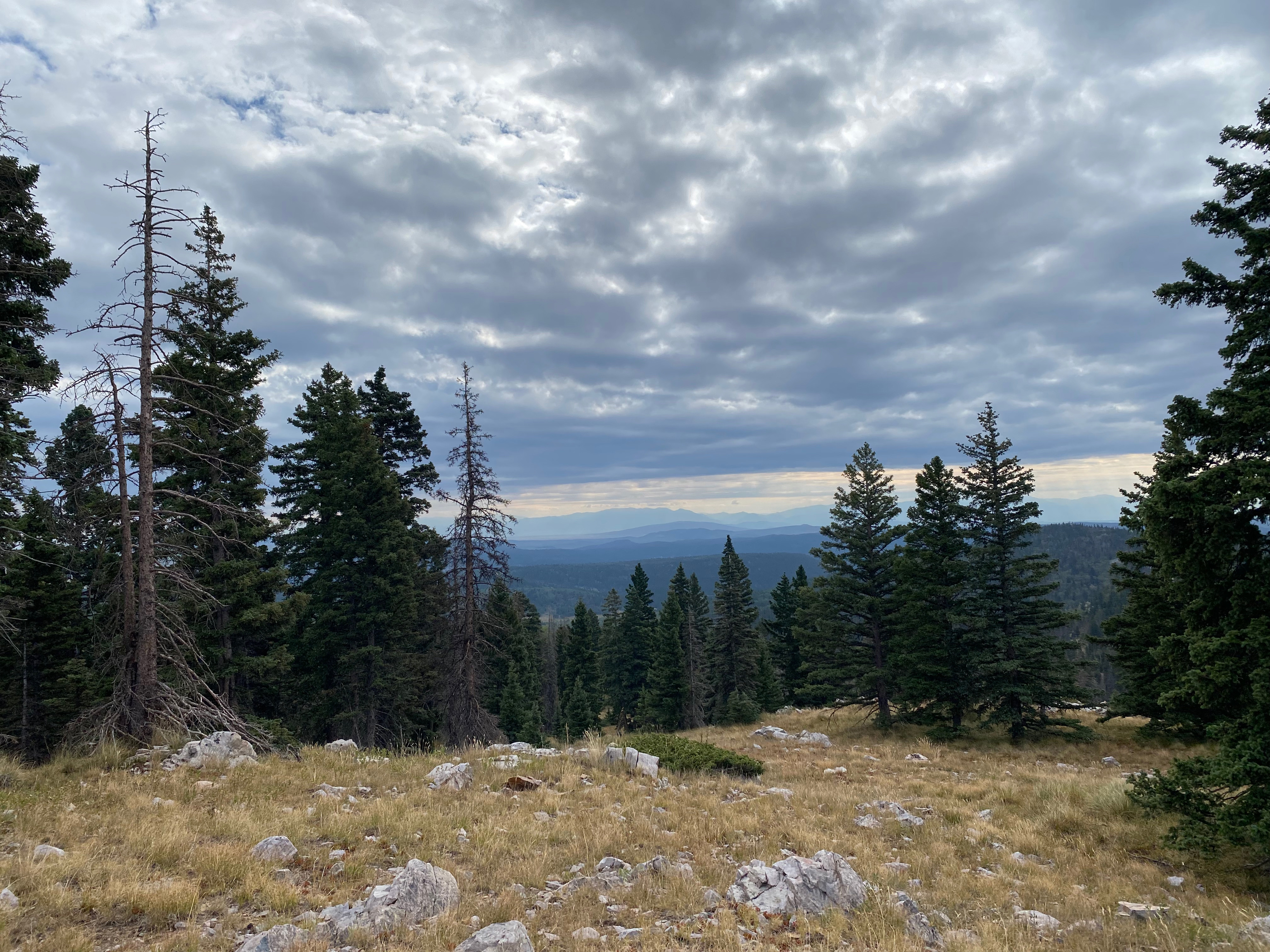
The trail to the summit is very good. It seems to be well used and maintained and quite old given the various eroded threads.
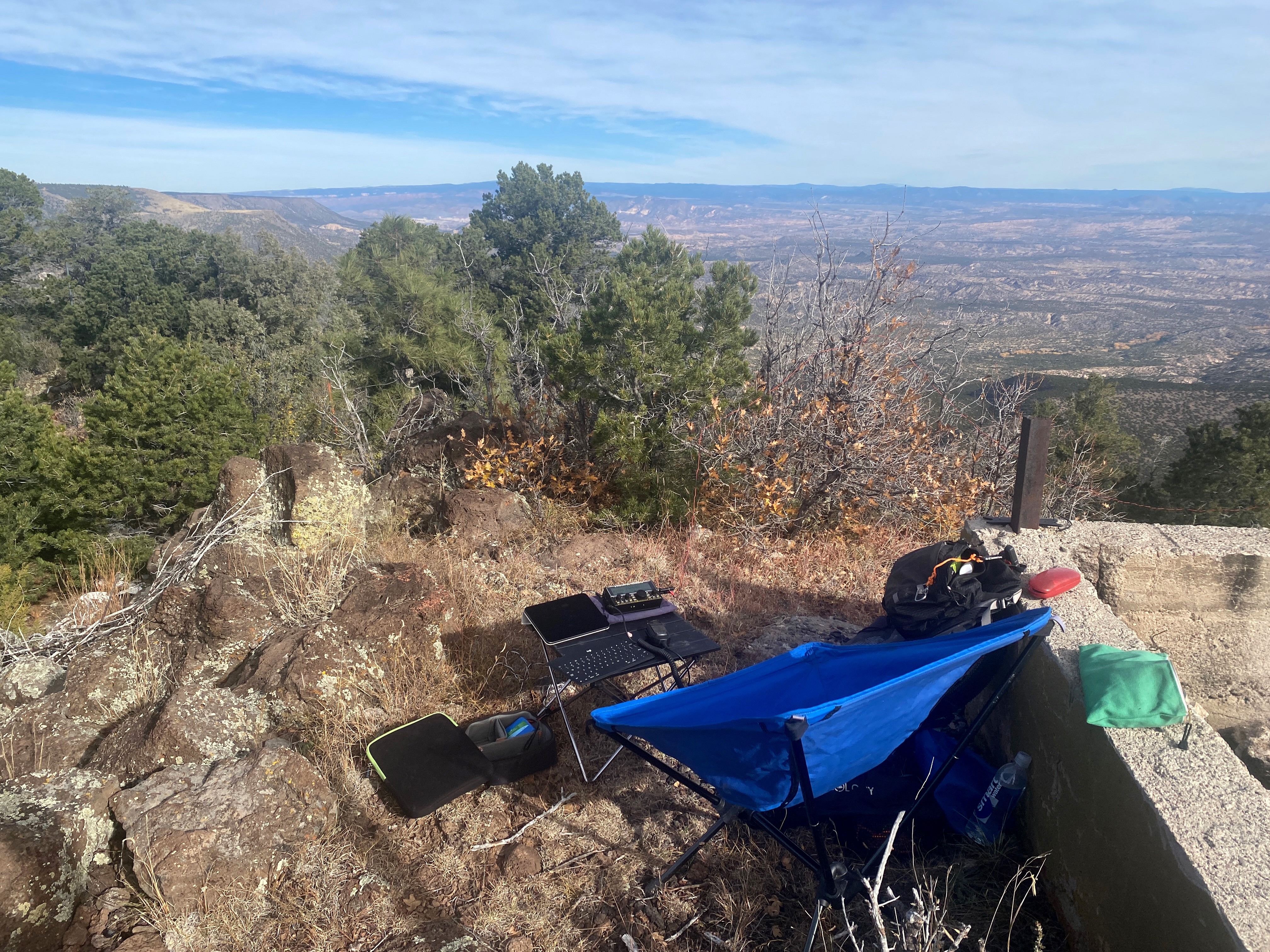
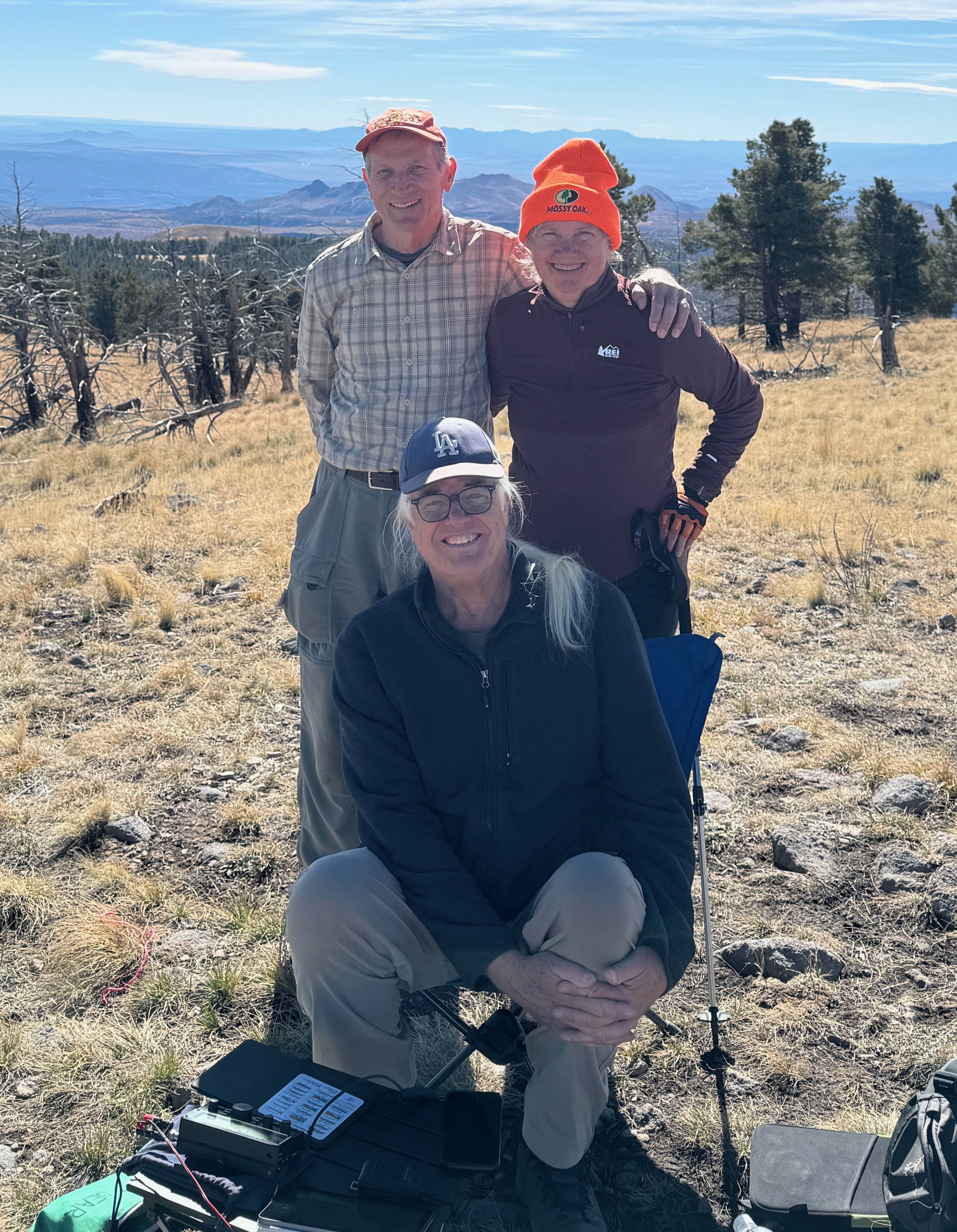
Once on the summit I heard the calling of Sanhill Cranes. As I looked down into the Rio Grande Gorge I spotted a large phalanx of these birds flying south down the river. Several more groups of these wonderful birds followed. I later spoke to a couple that said these were stragglers migrating later than usual following waterways into Mexico for the winter.
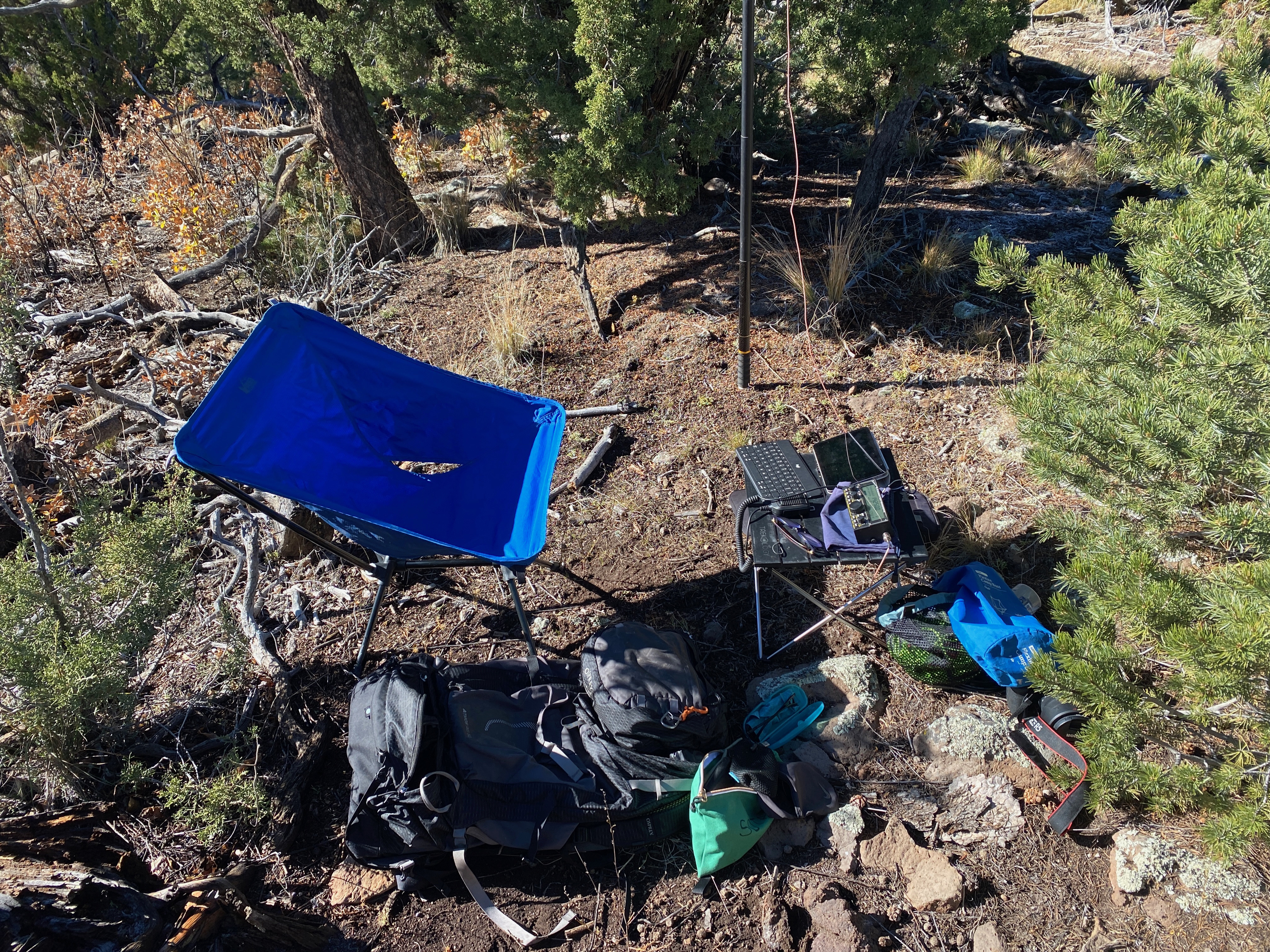
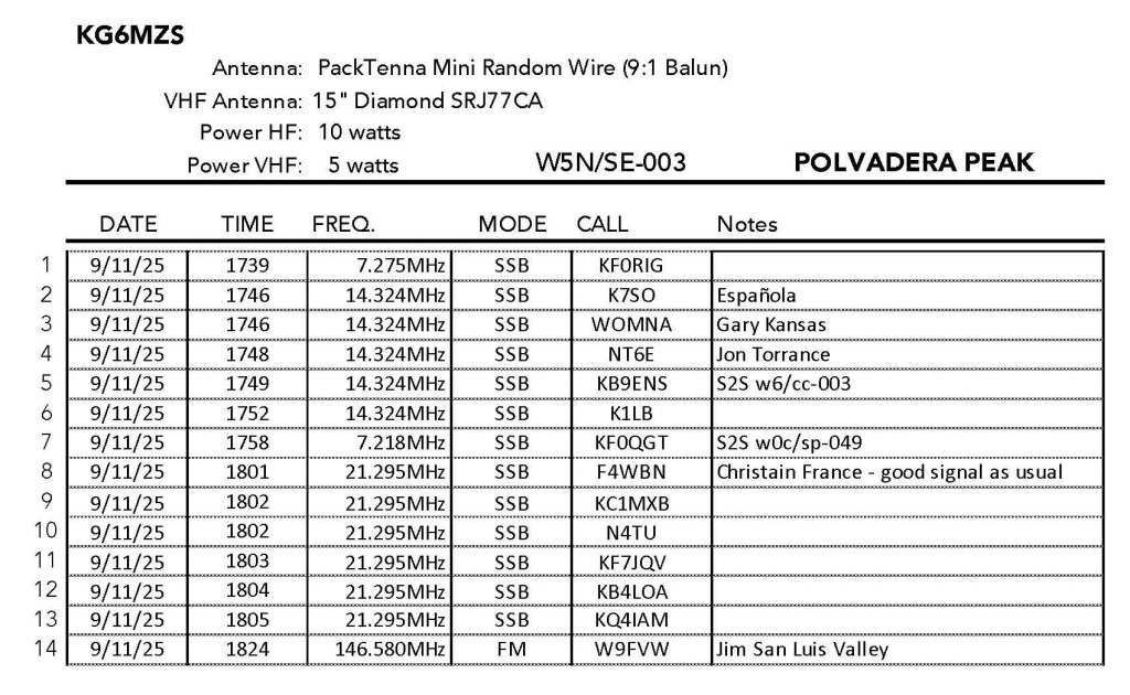
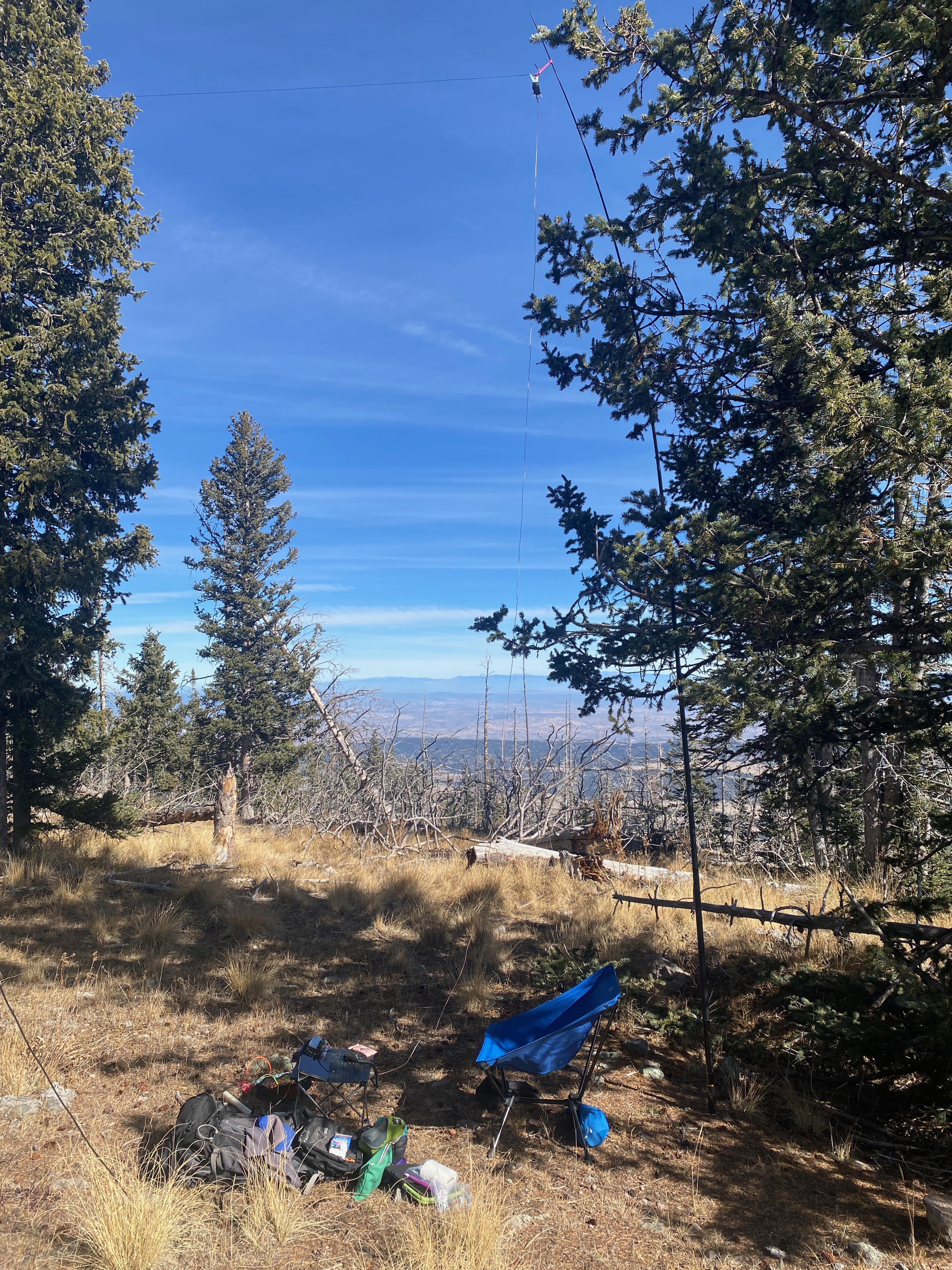
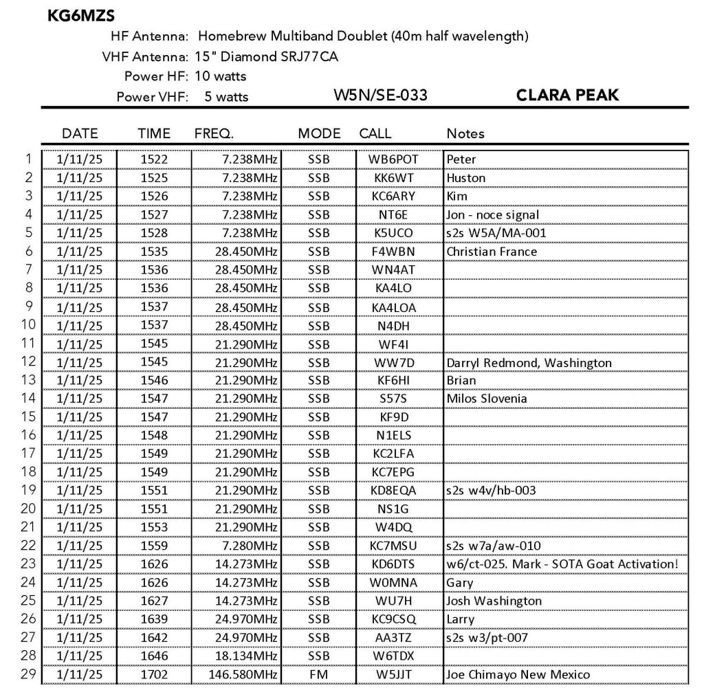
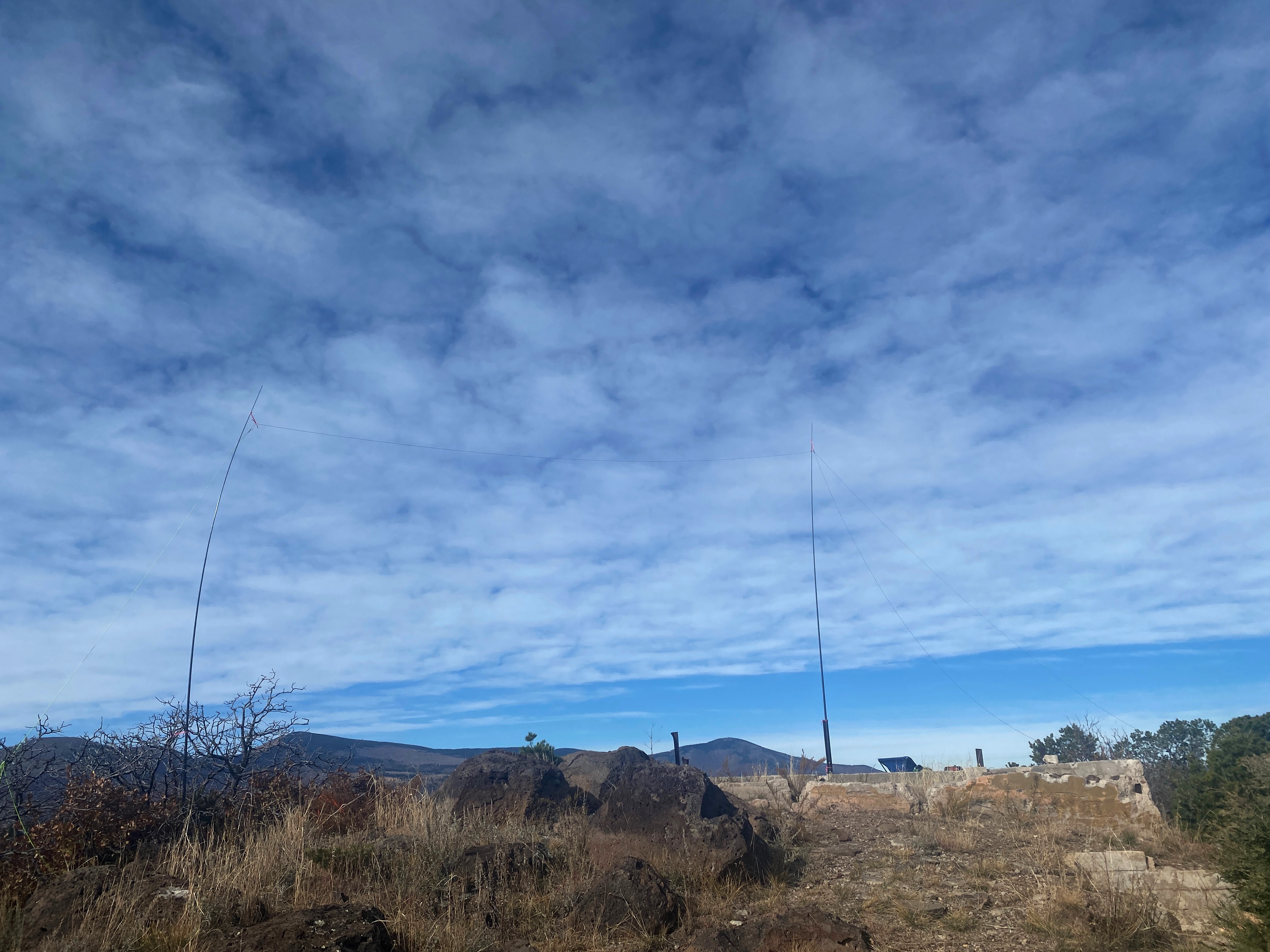
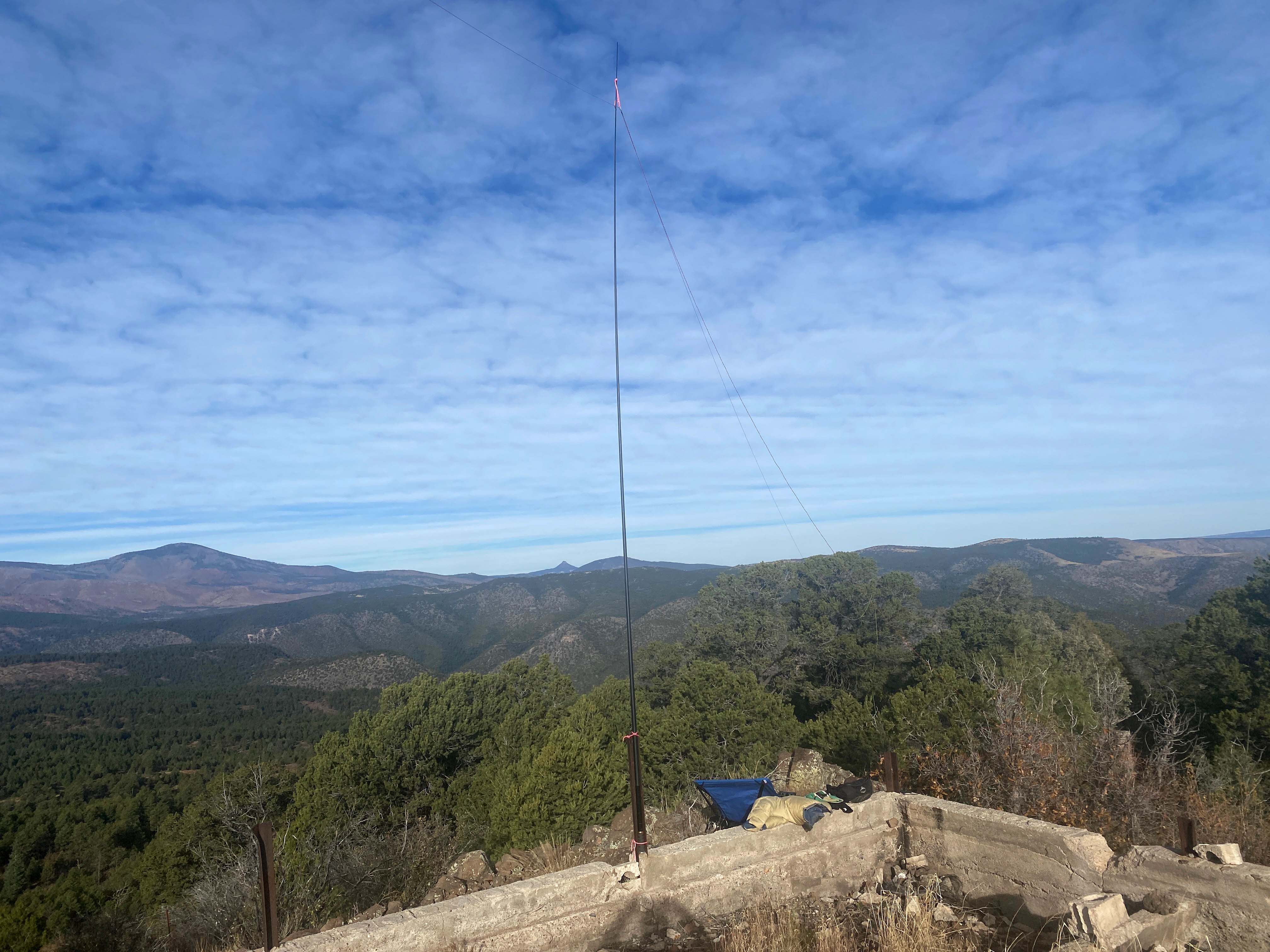
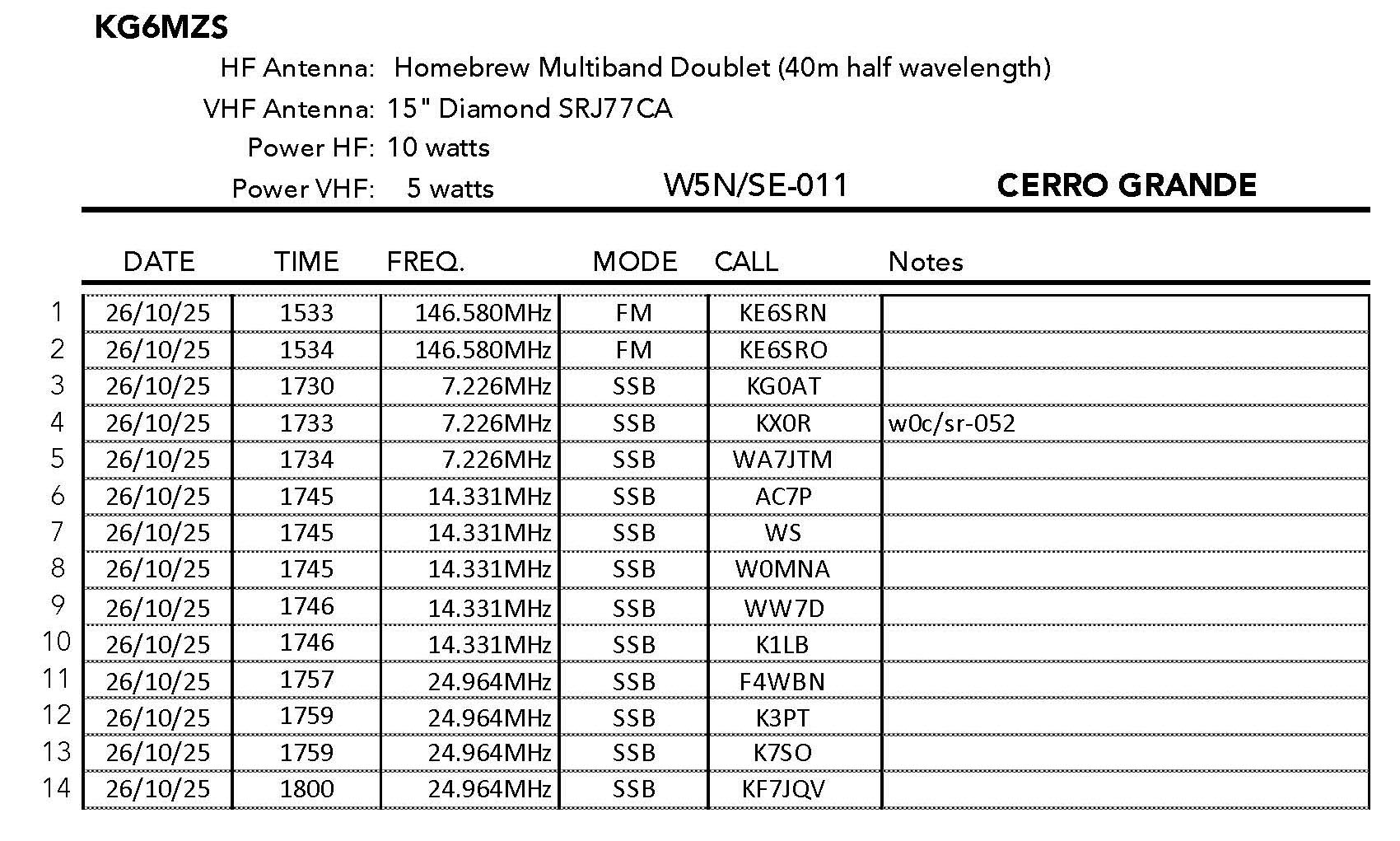
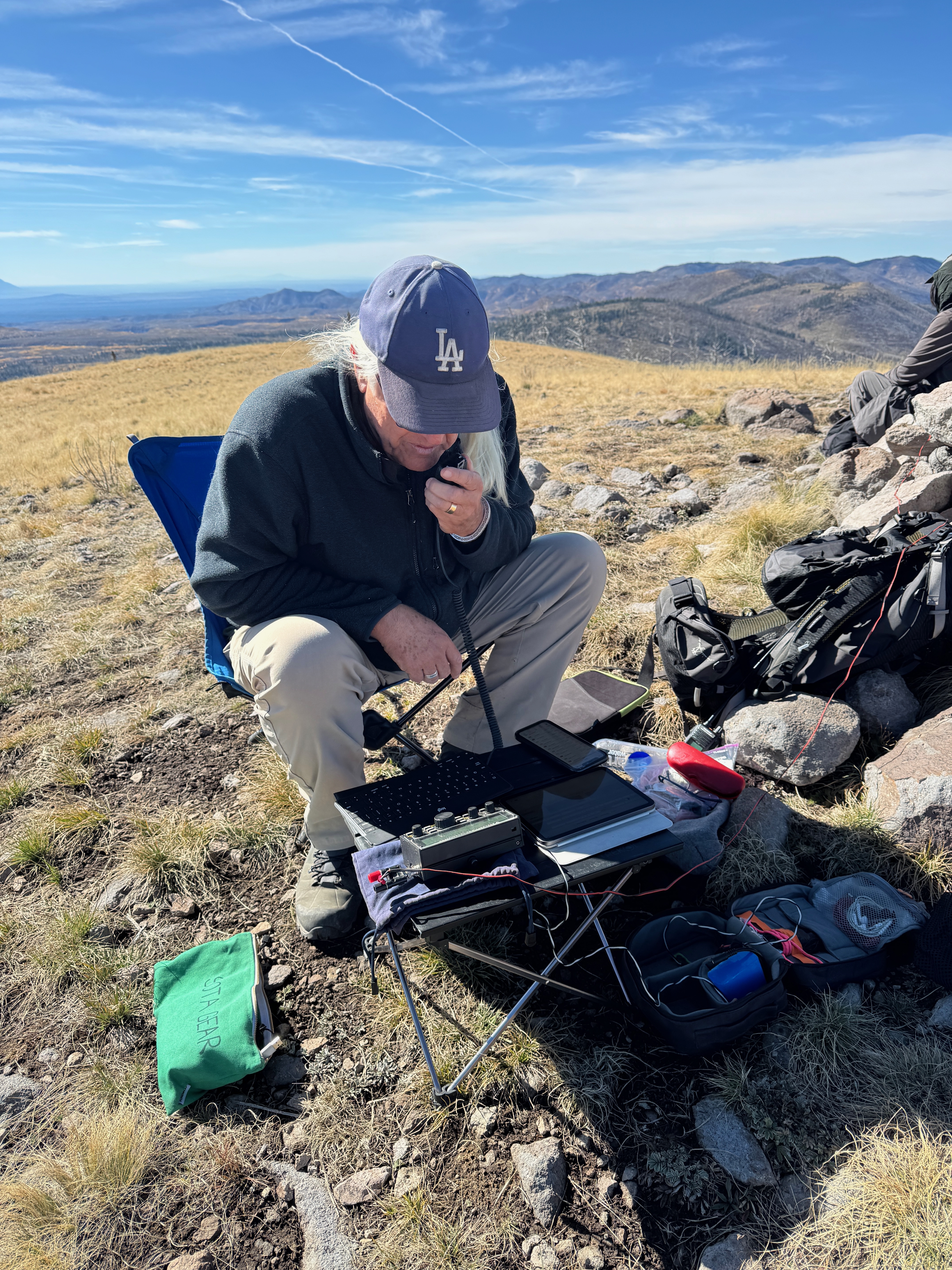
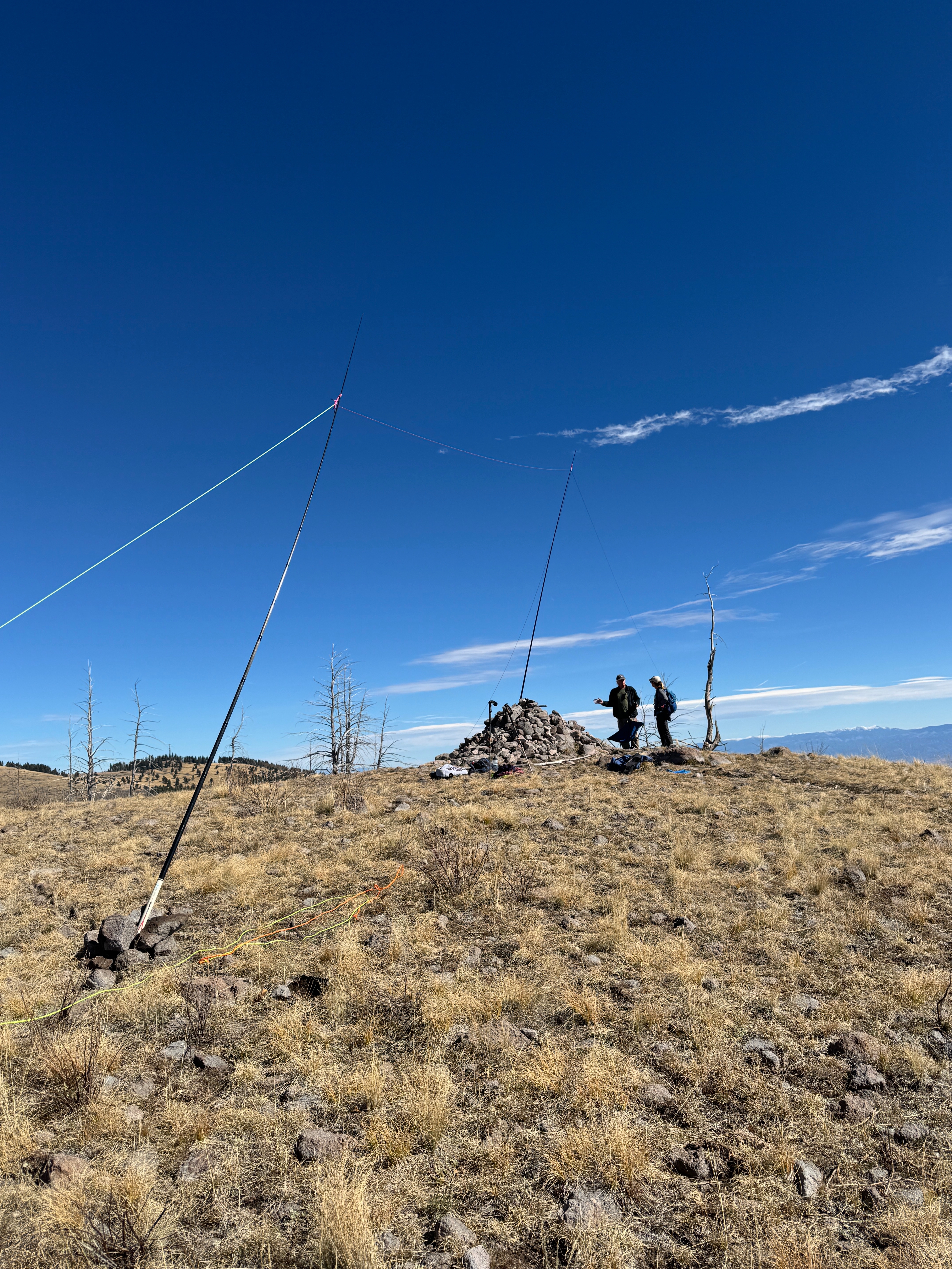
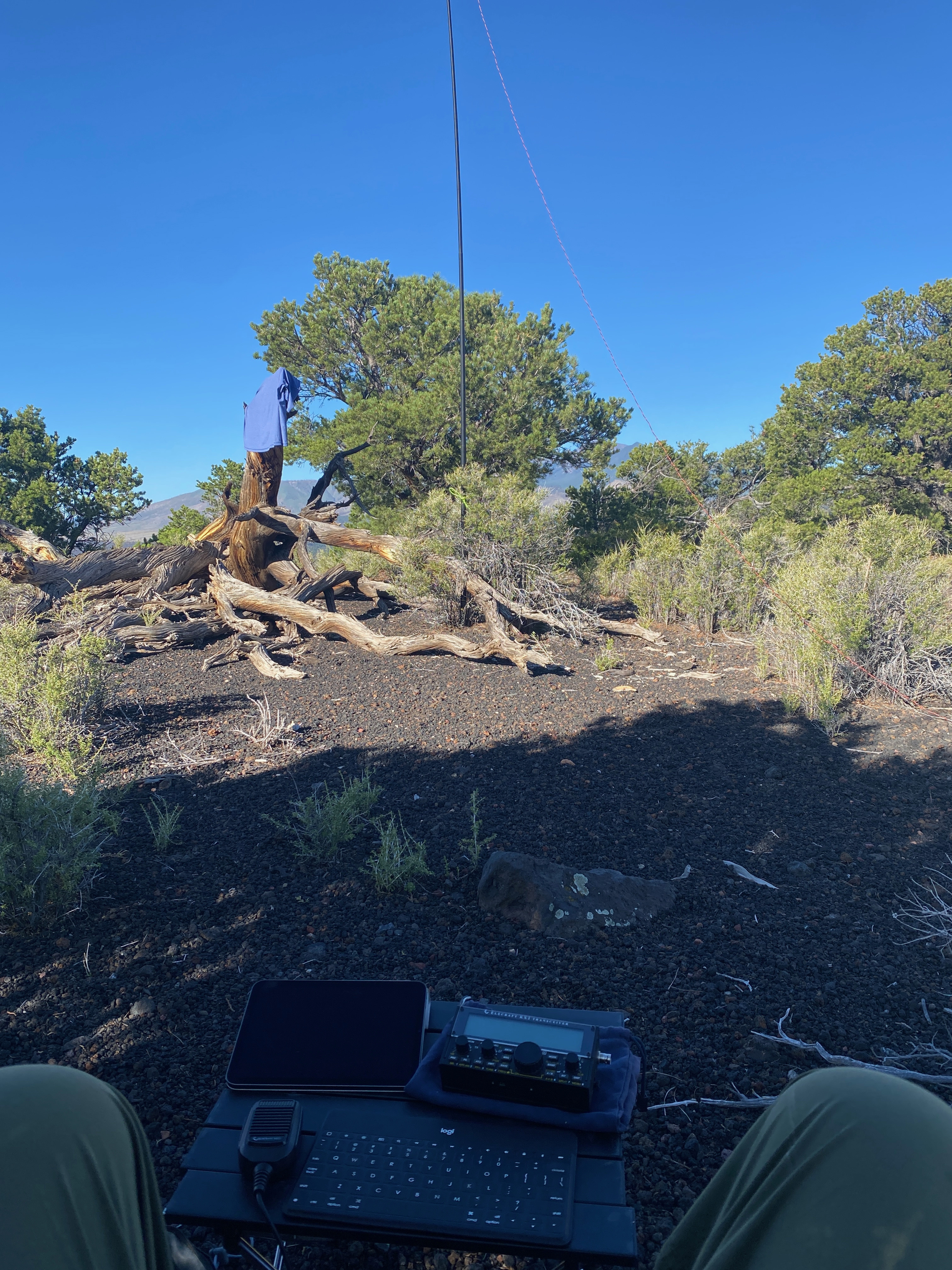
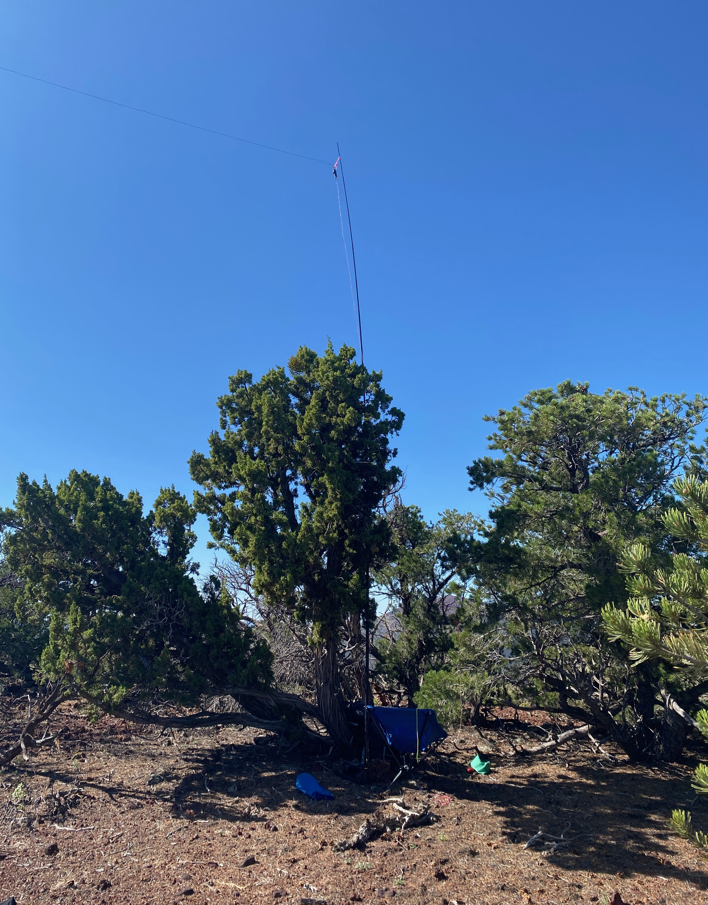
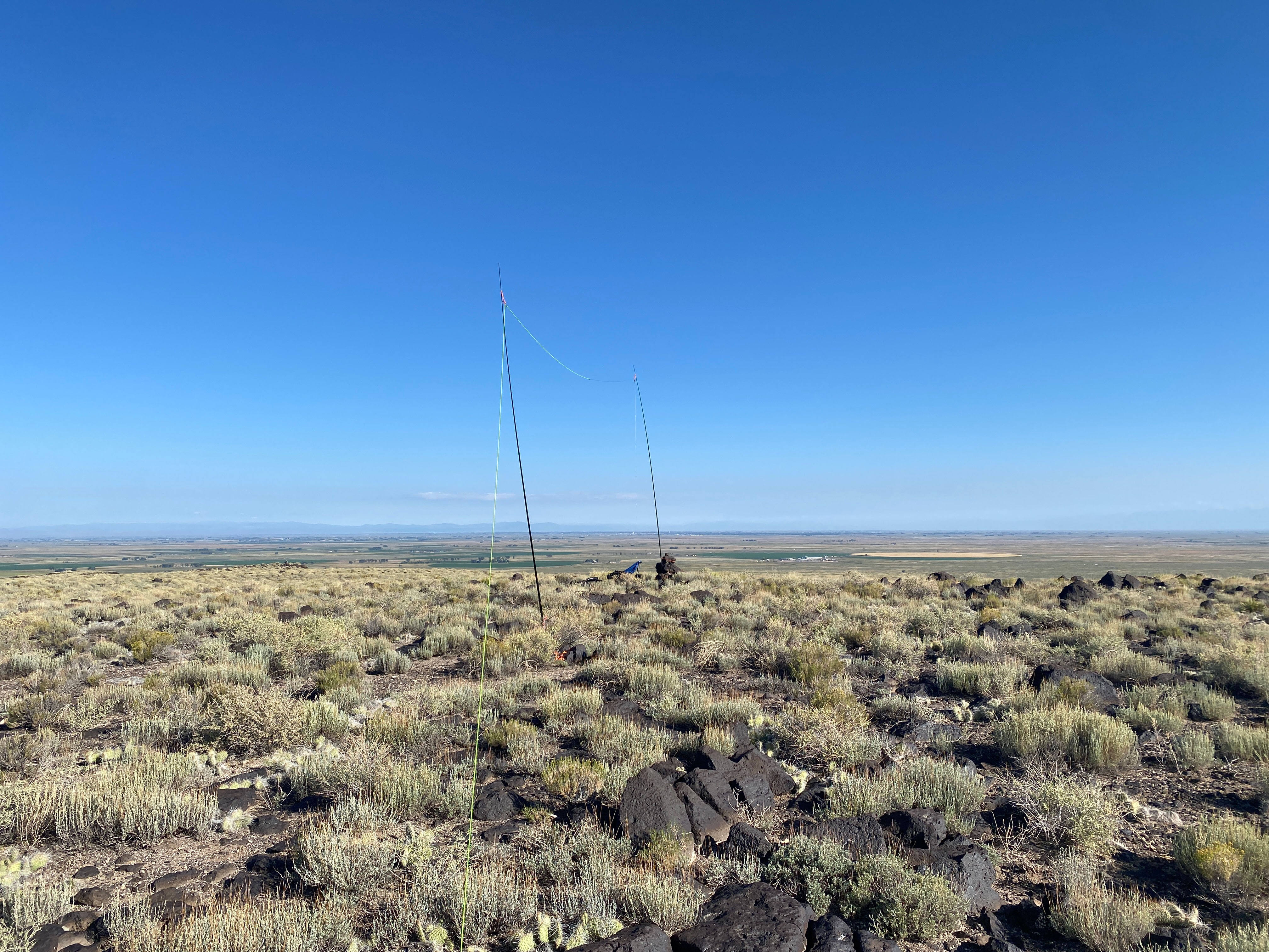
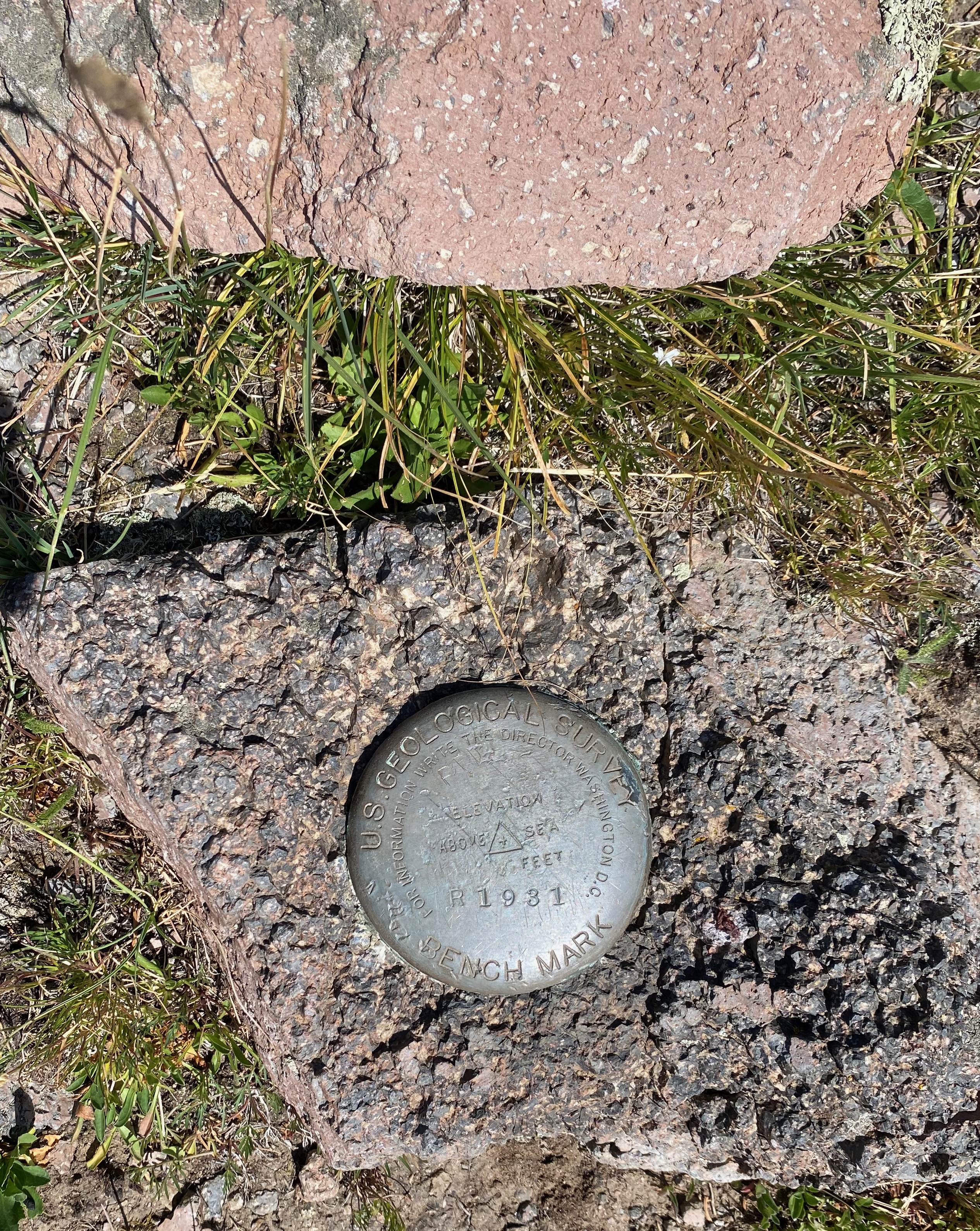
As Fred also mentions there are two large piles of basalt on the summit that are perfect for stringing an antenna across. Radio conditions were very good and I racked up 30 SSB contacts in about 45 minutes on 4 bands.
Click on any photo to enlarge


Leave a comment