
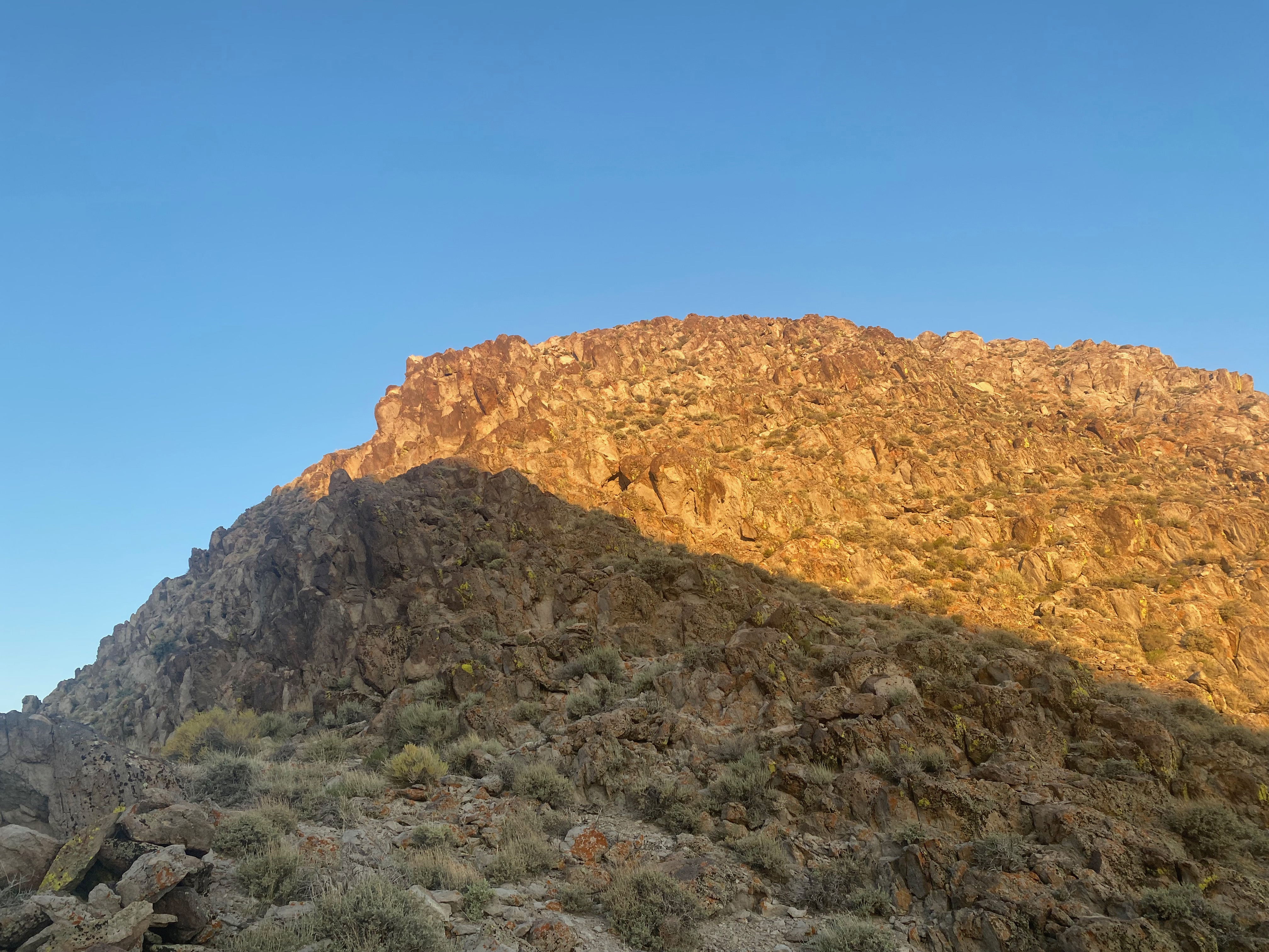
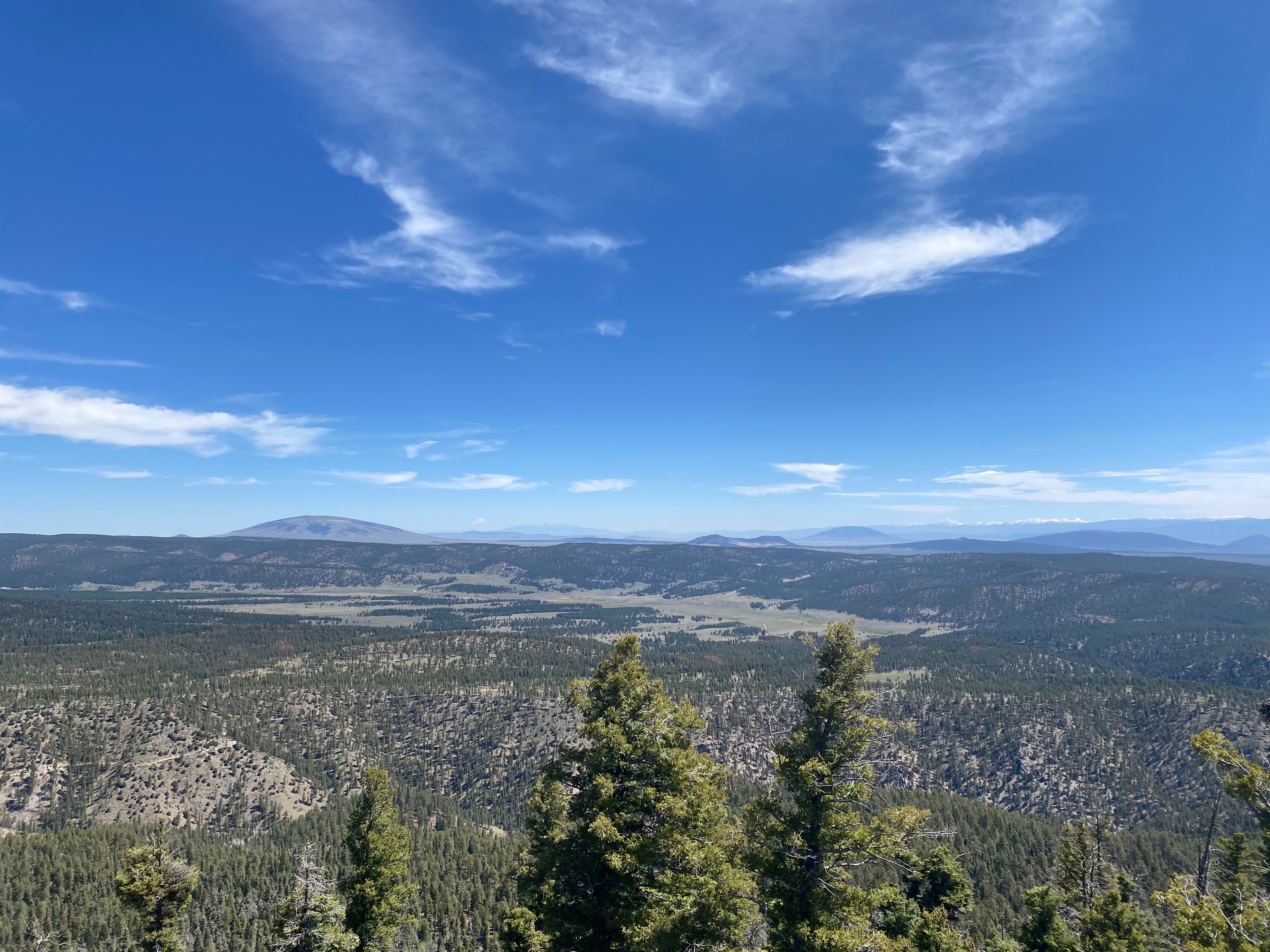
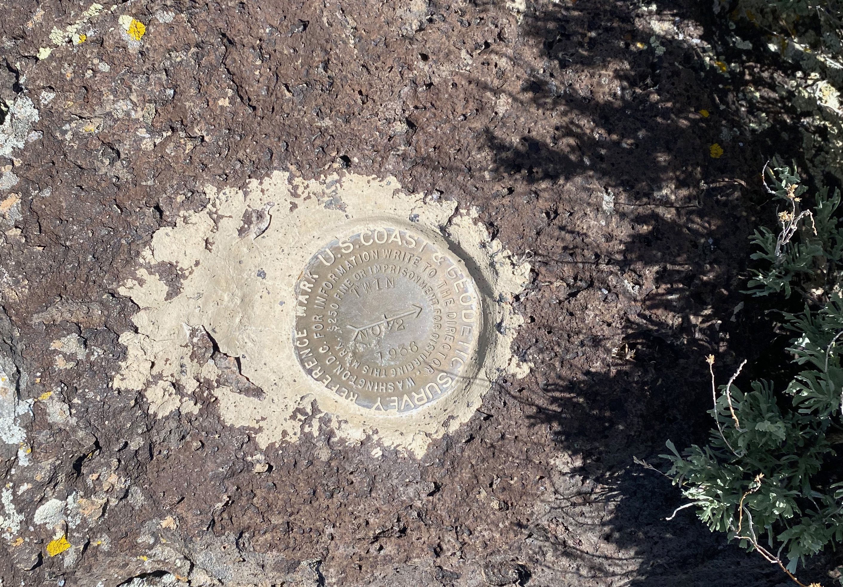
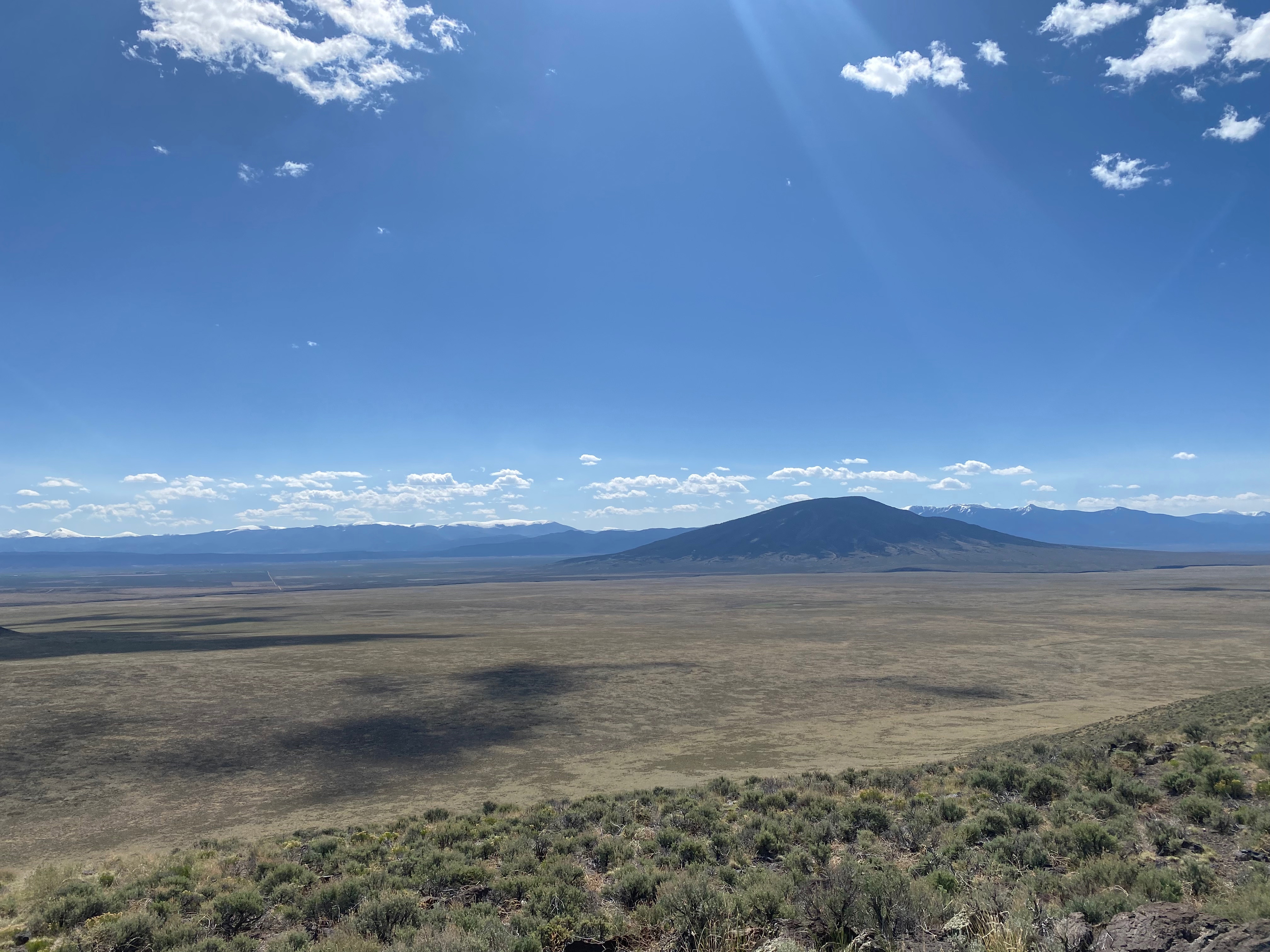
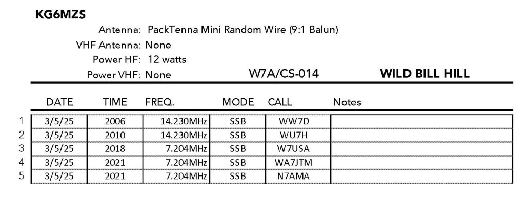
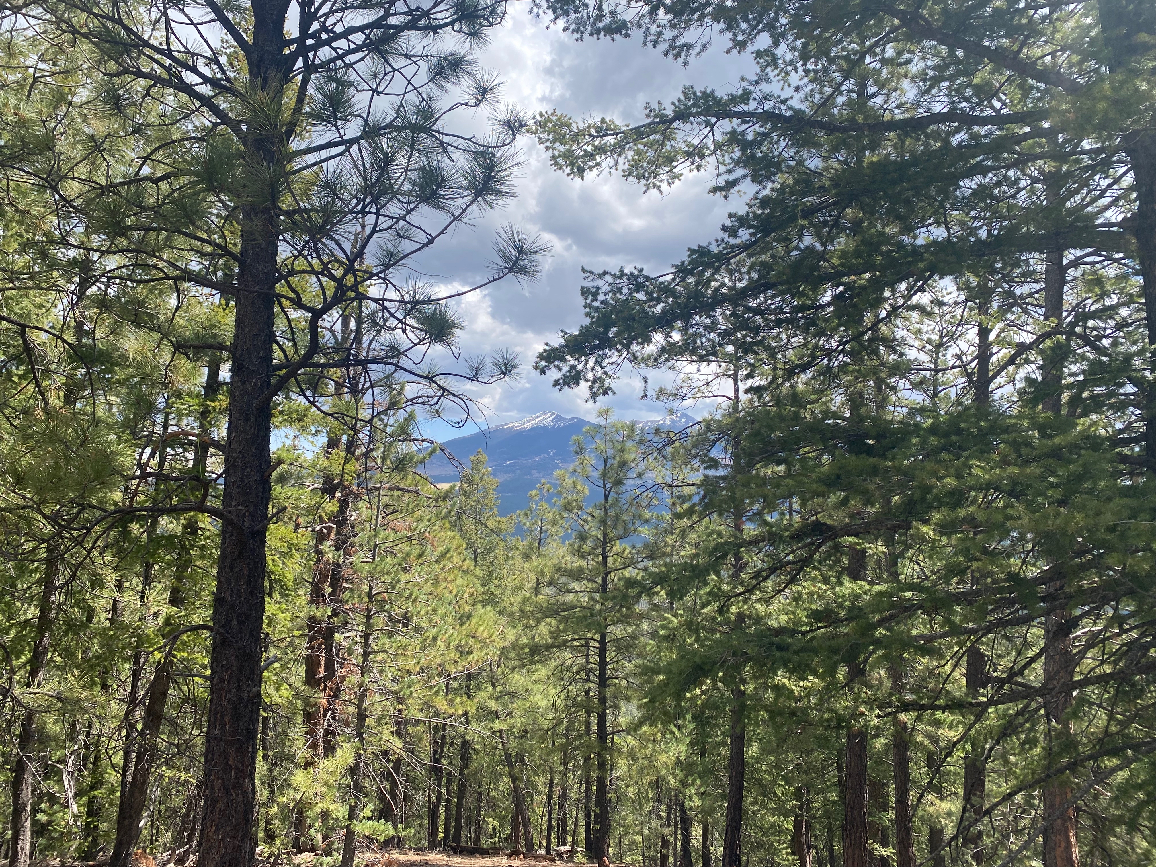
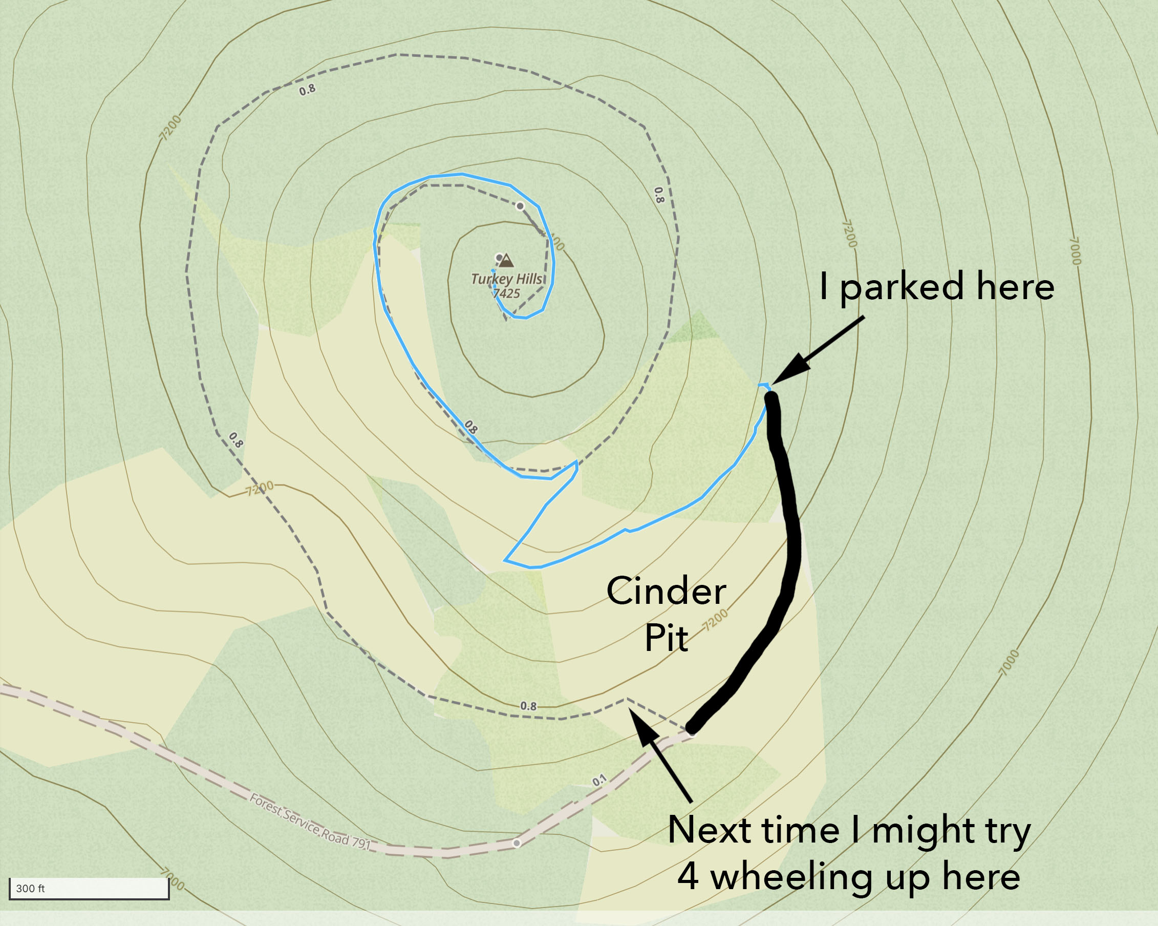
Sunrise shadow of the imposing Mount Butler. In the distance is the snow on White Mountain.
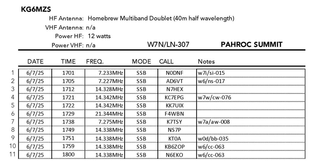
8 JUNE 2025 W7N/NS-091

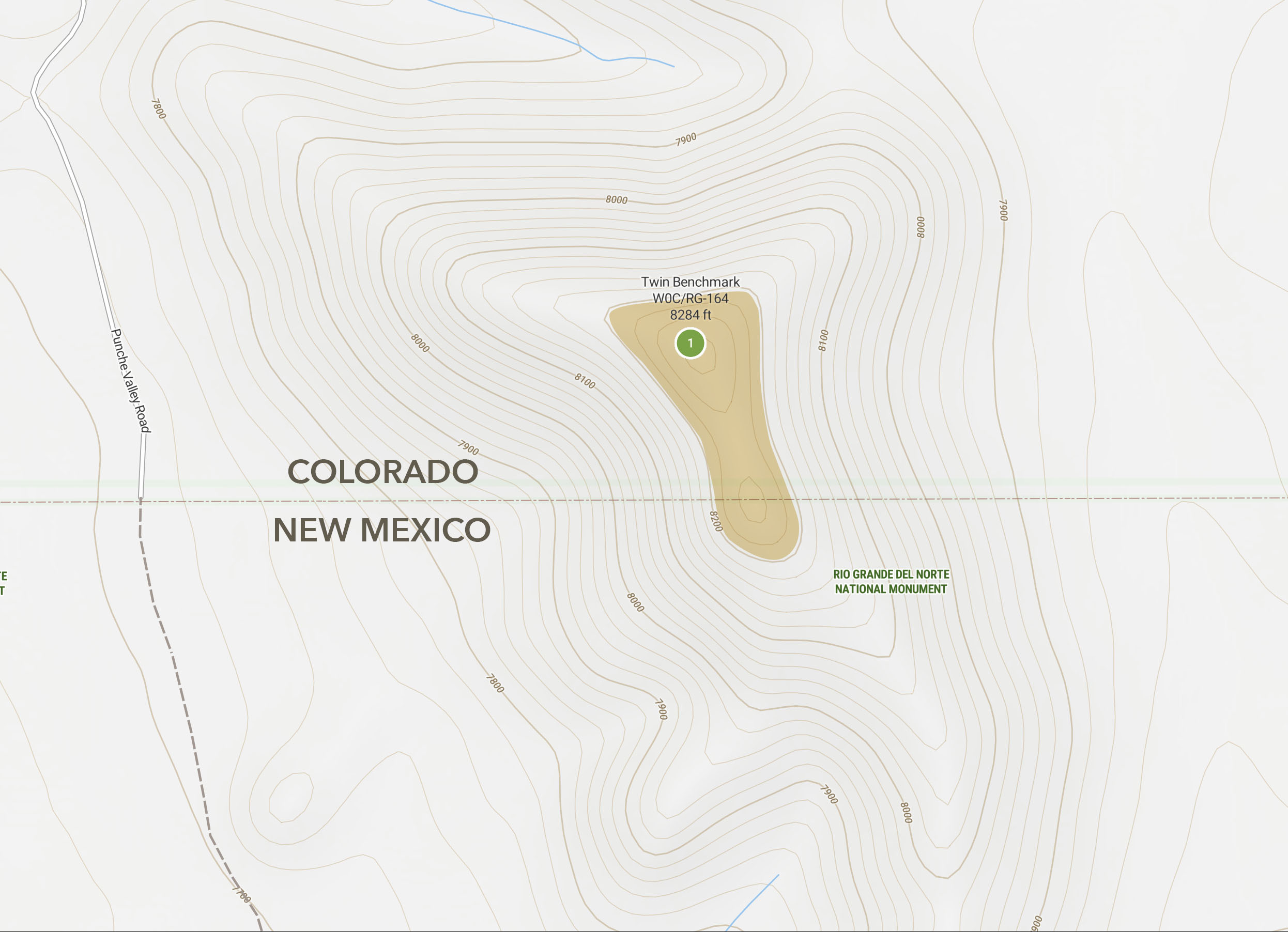
| Elevation: | 7,116′ |
| Route: | Road and use trail |
| Hike Distance: | 2 miles round trip |
| Elevation Gain: | 400′ |
| Navigation: | Moderate |
| Steepness: | Extremely steep – 3rd Class* |
| Vehicle: | Passenger car |
| Road: | Good dirt road |
| Cell Coverage: | Excellent Verizon |
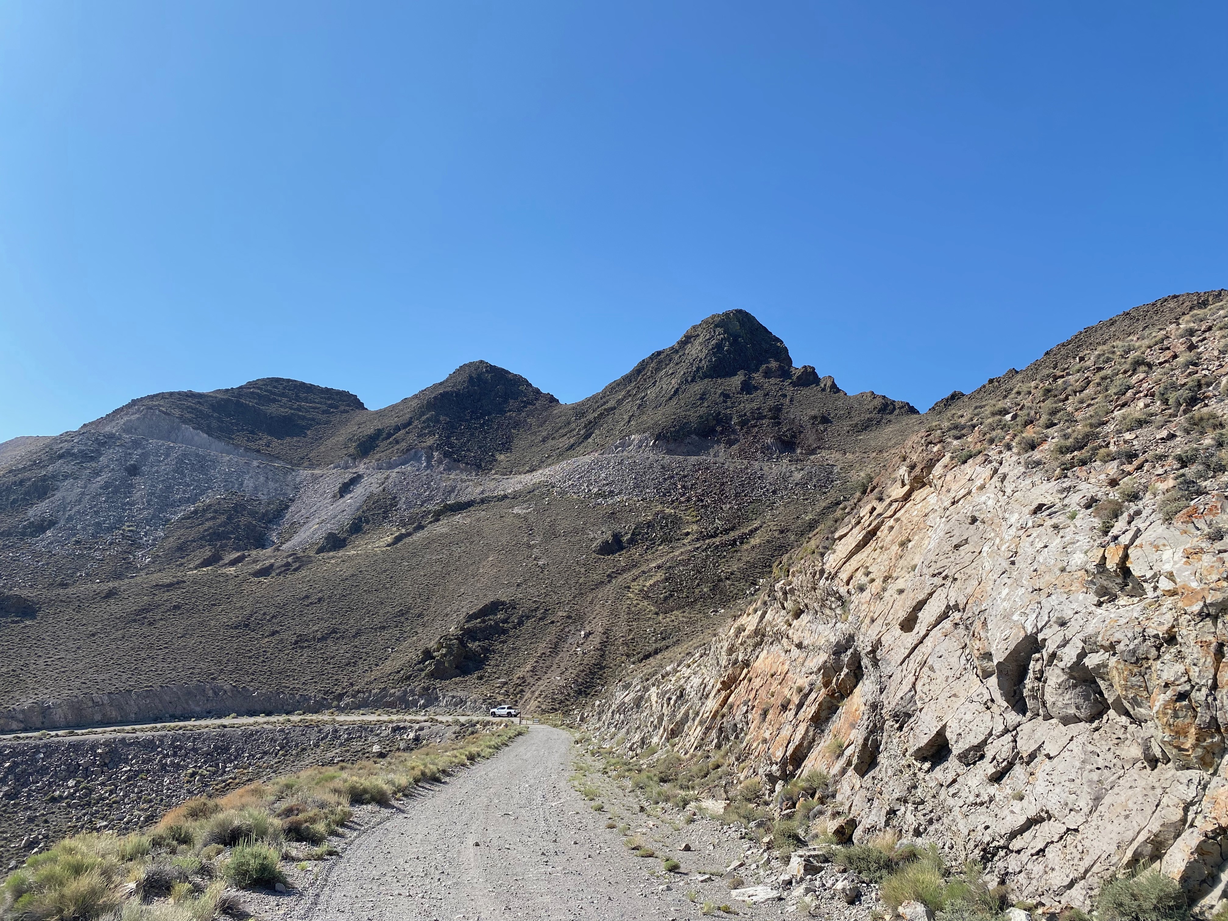
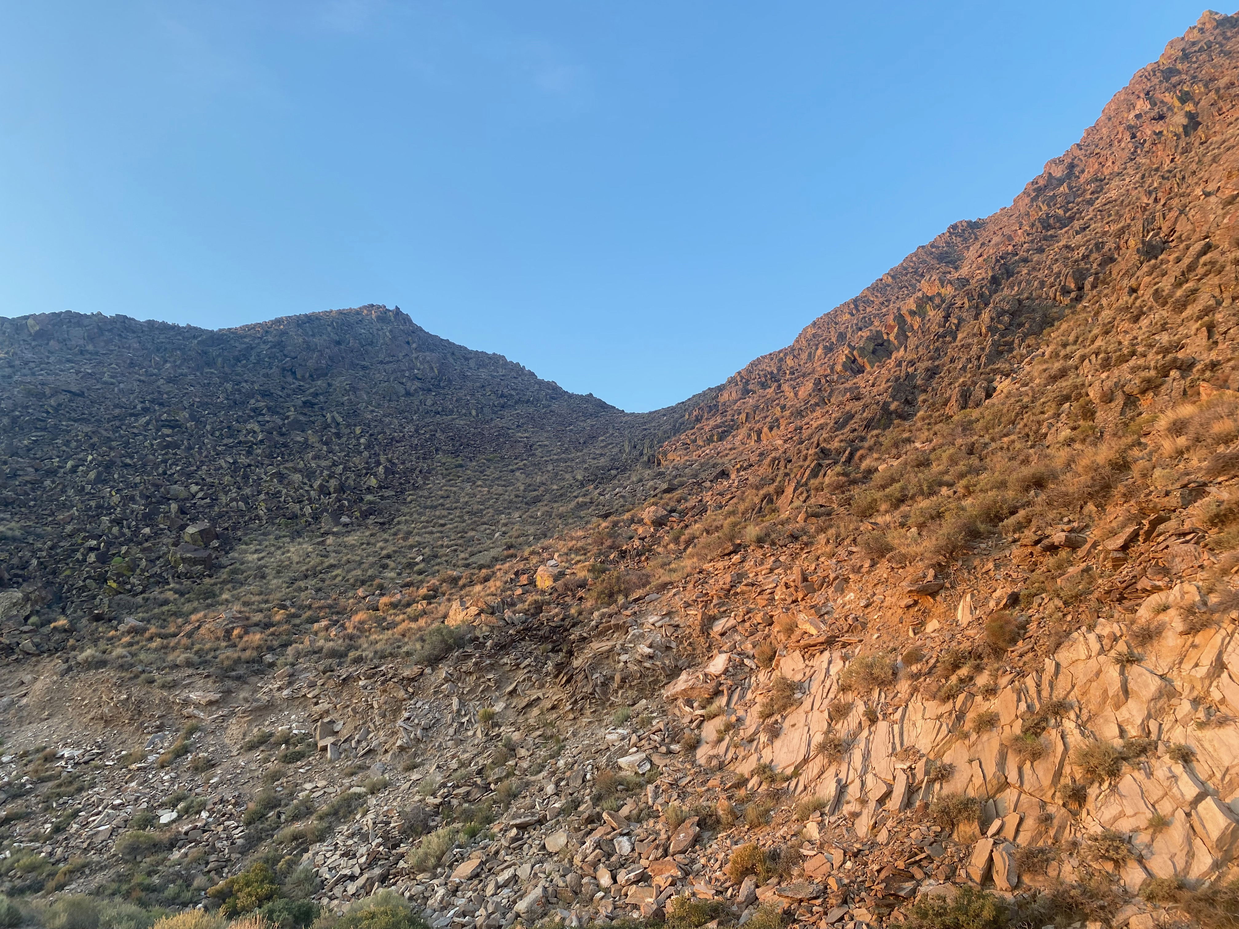
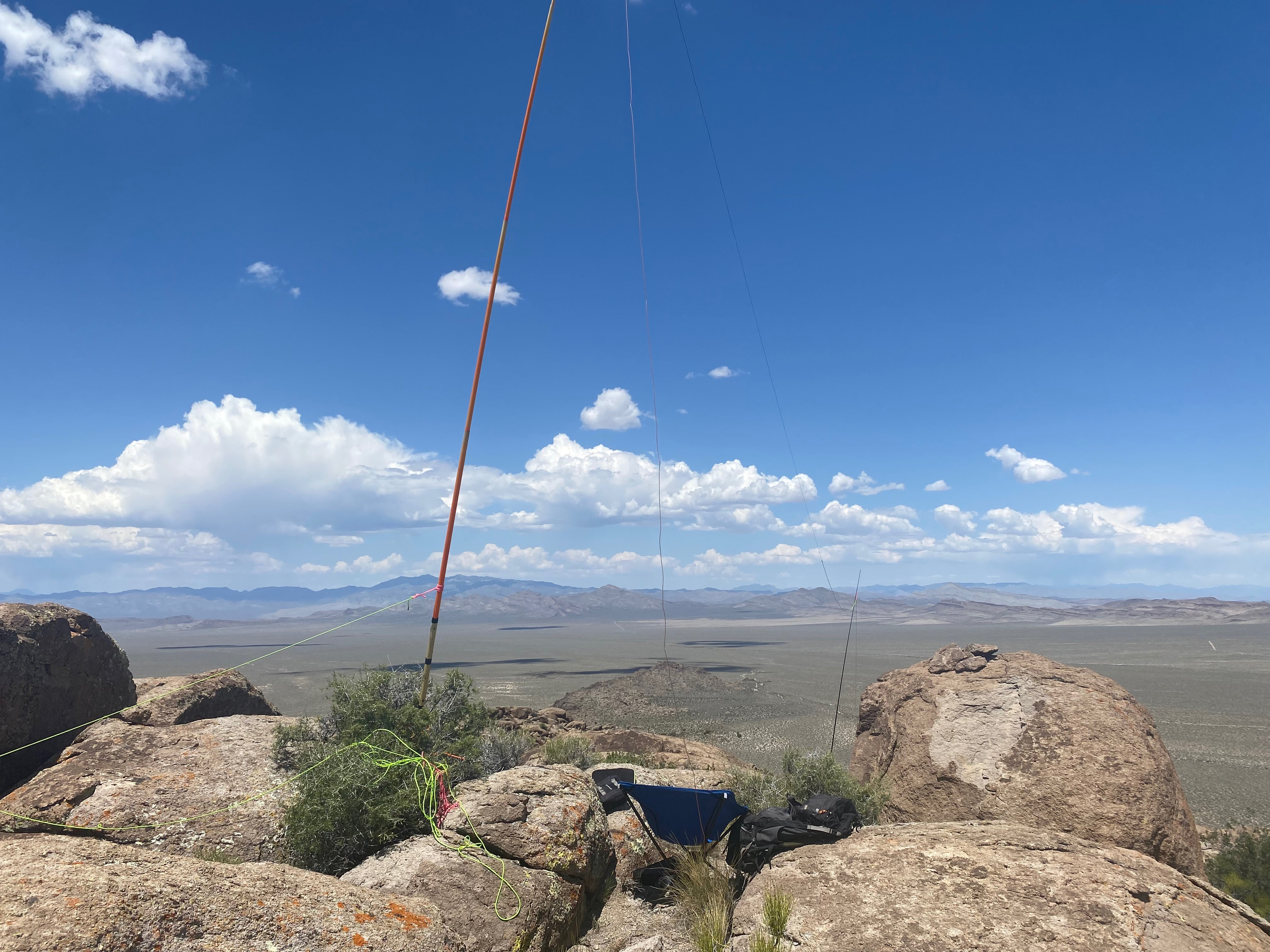
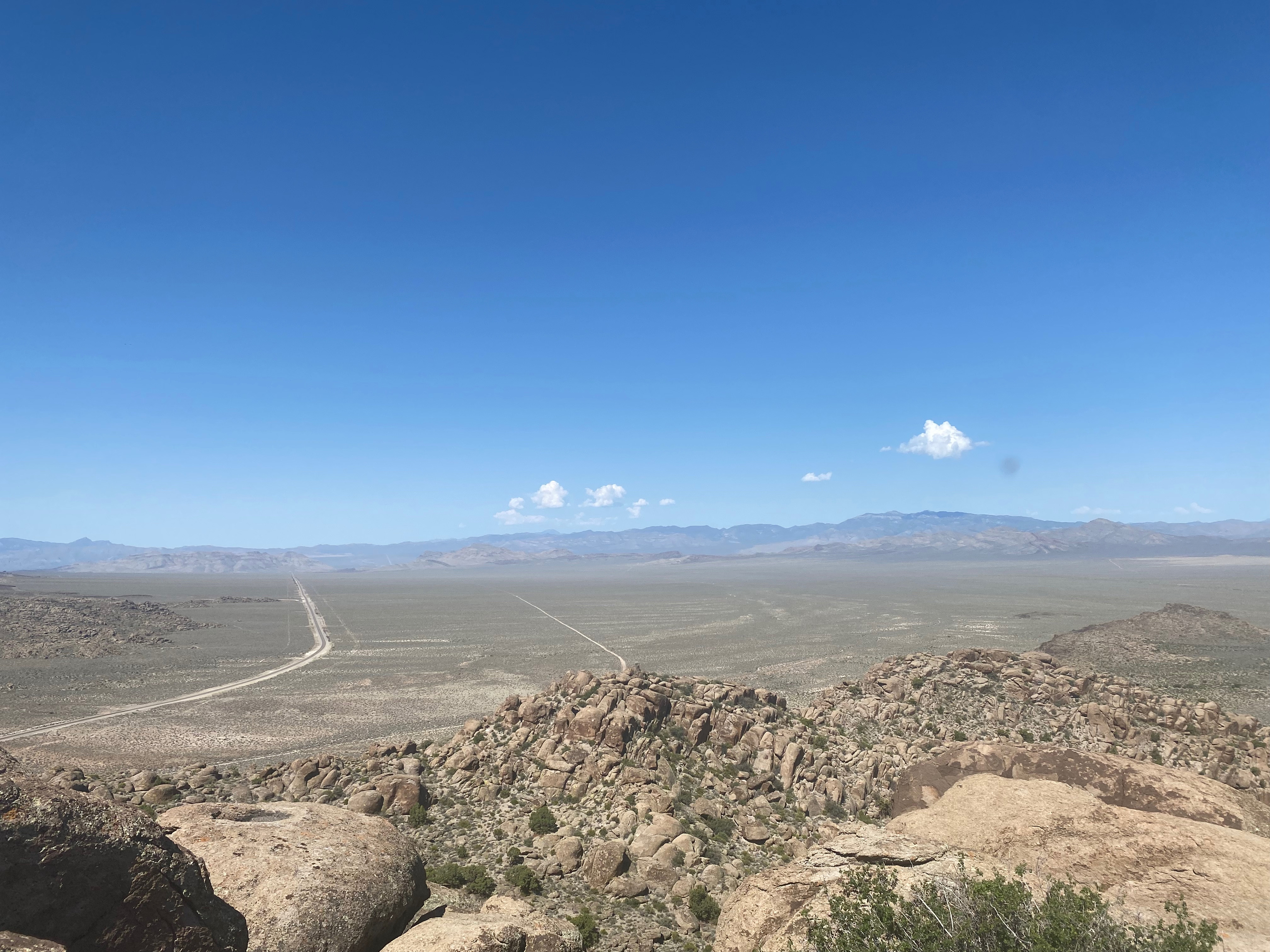
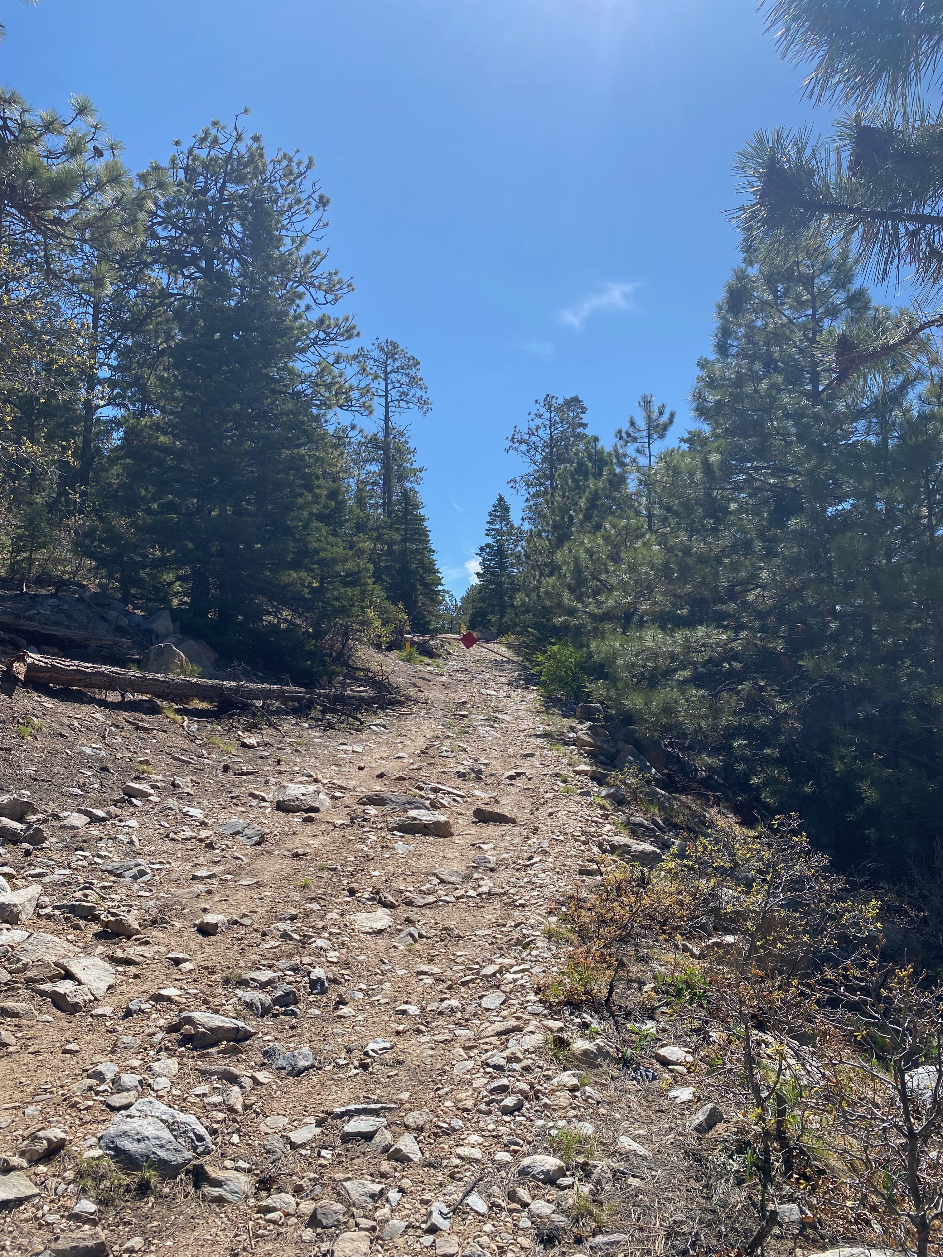
This summit might look like a stroll by the numbers at one mile round trip with 400 feet of gain, but 200 feet of the elevation gain comes in the last tenth of a mile after leaving the access road! Then there is a scramble up some very loose rock to cross the road-cut. This was my least favorite part. Getting to the saddle between Mount Butler and the bump to the east is steep but not hard. Then there is some enjoyable third class going from the saddle to the summit. Serious exposure can be avoided if one stays to the ridge line.
Not recommended for beginners.
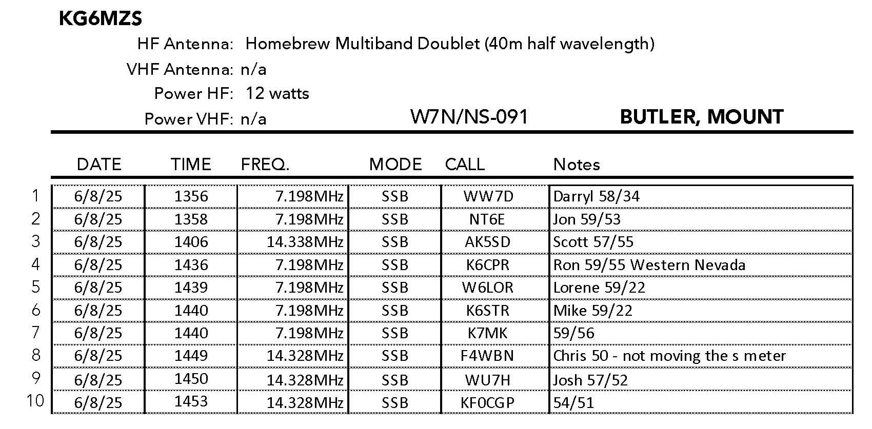
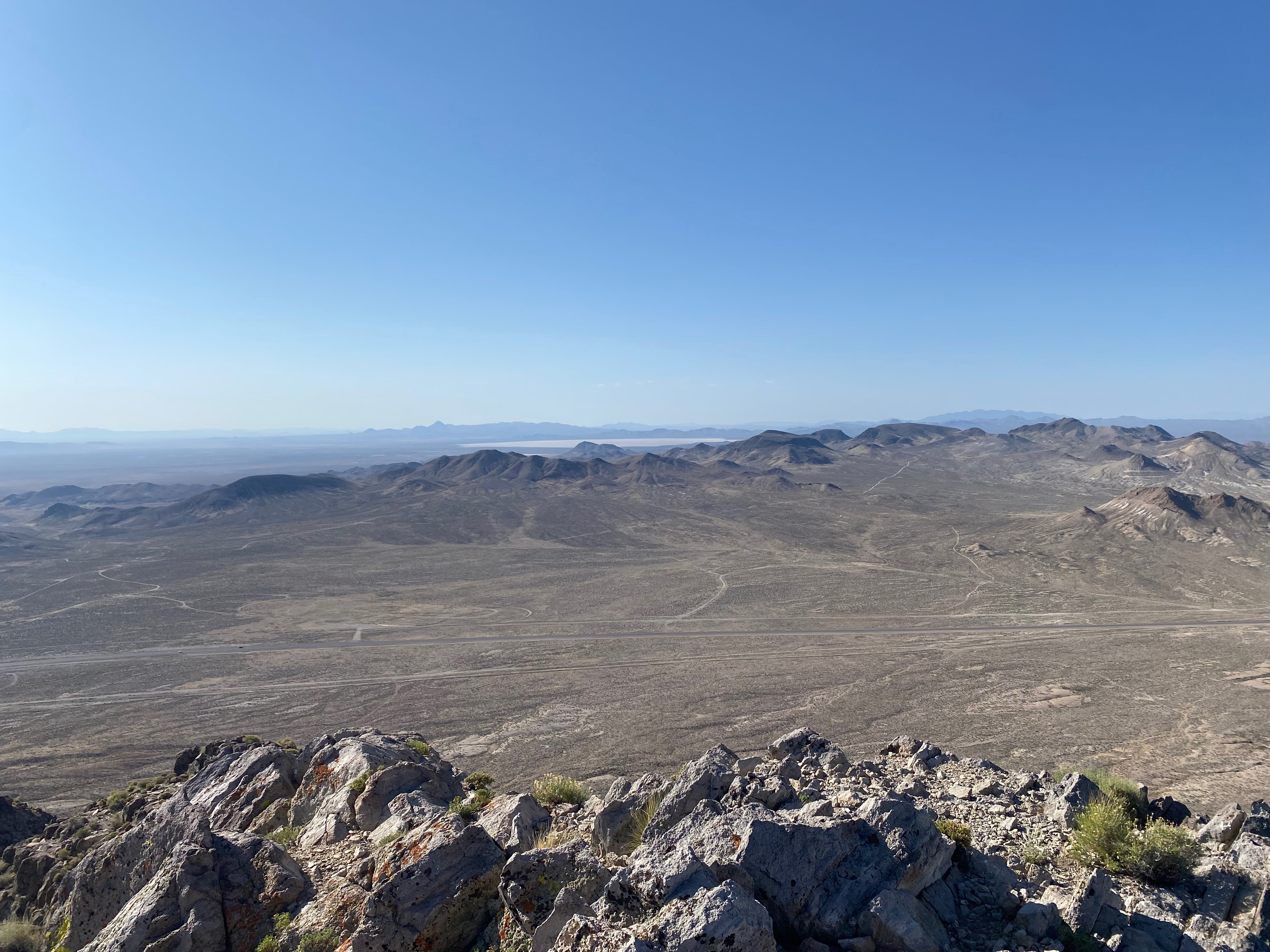
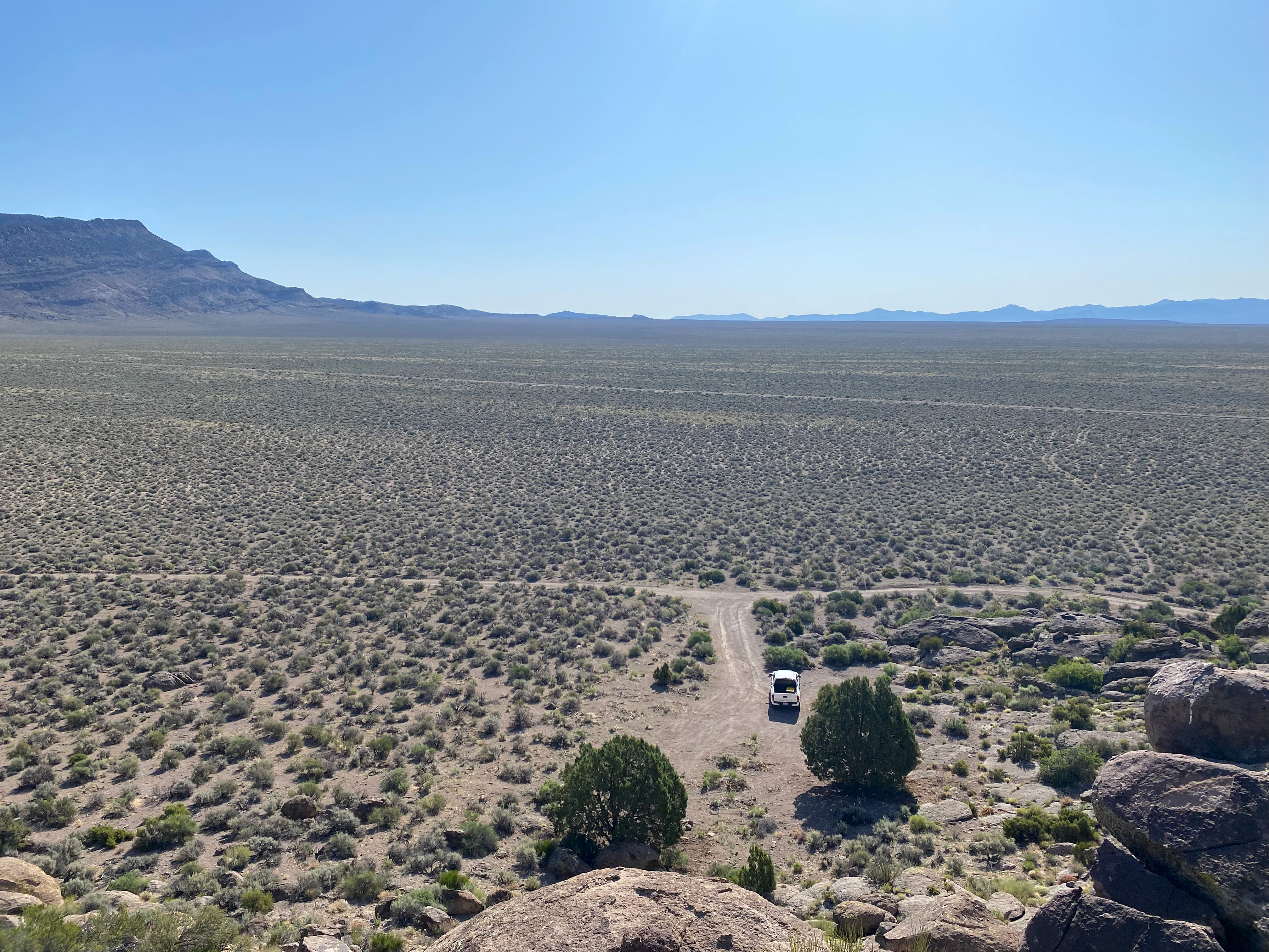
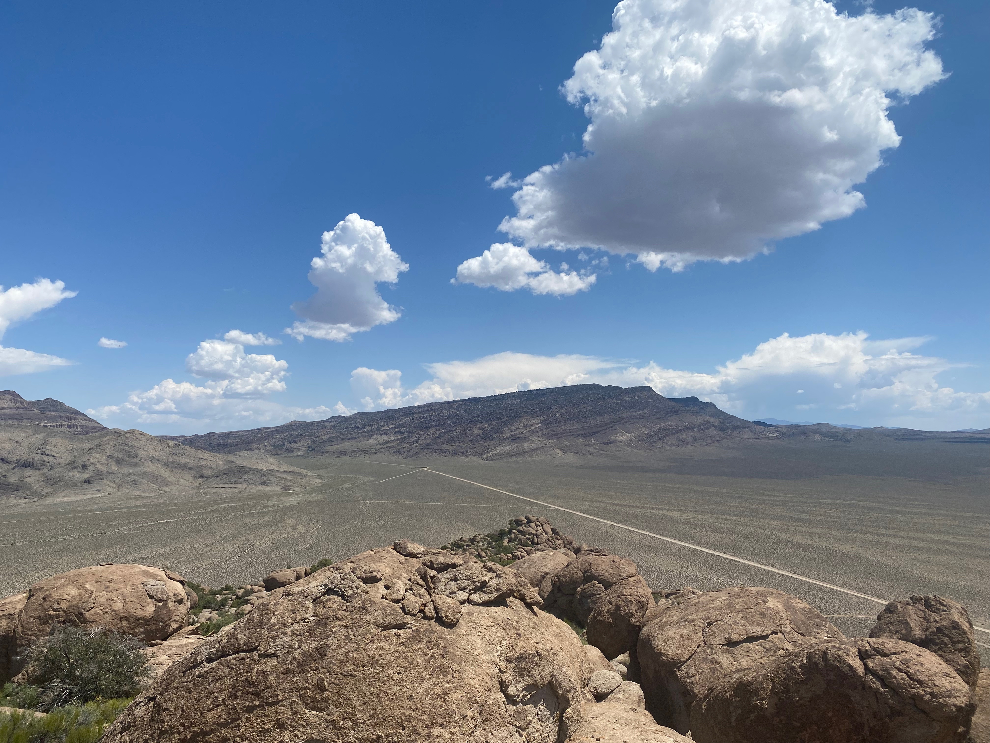
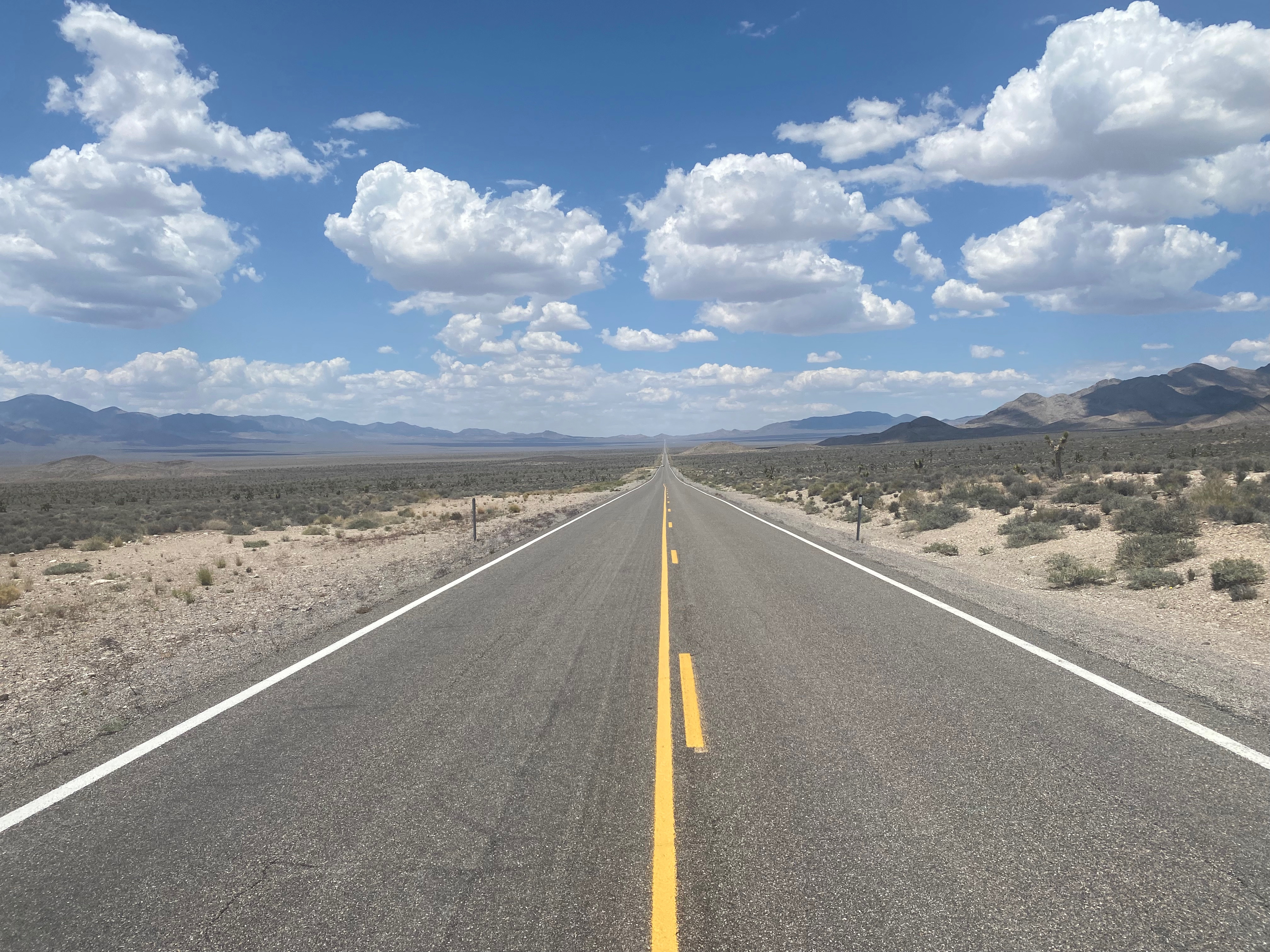
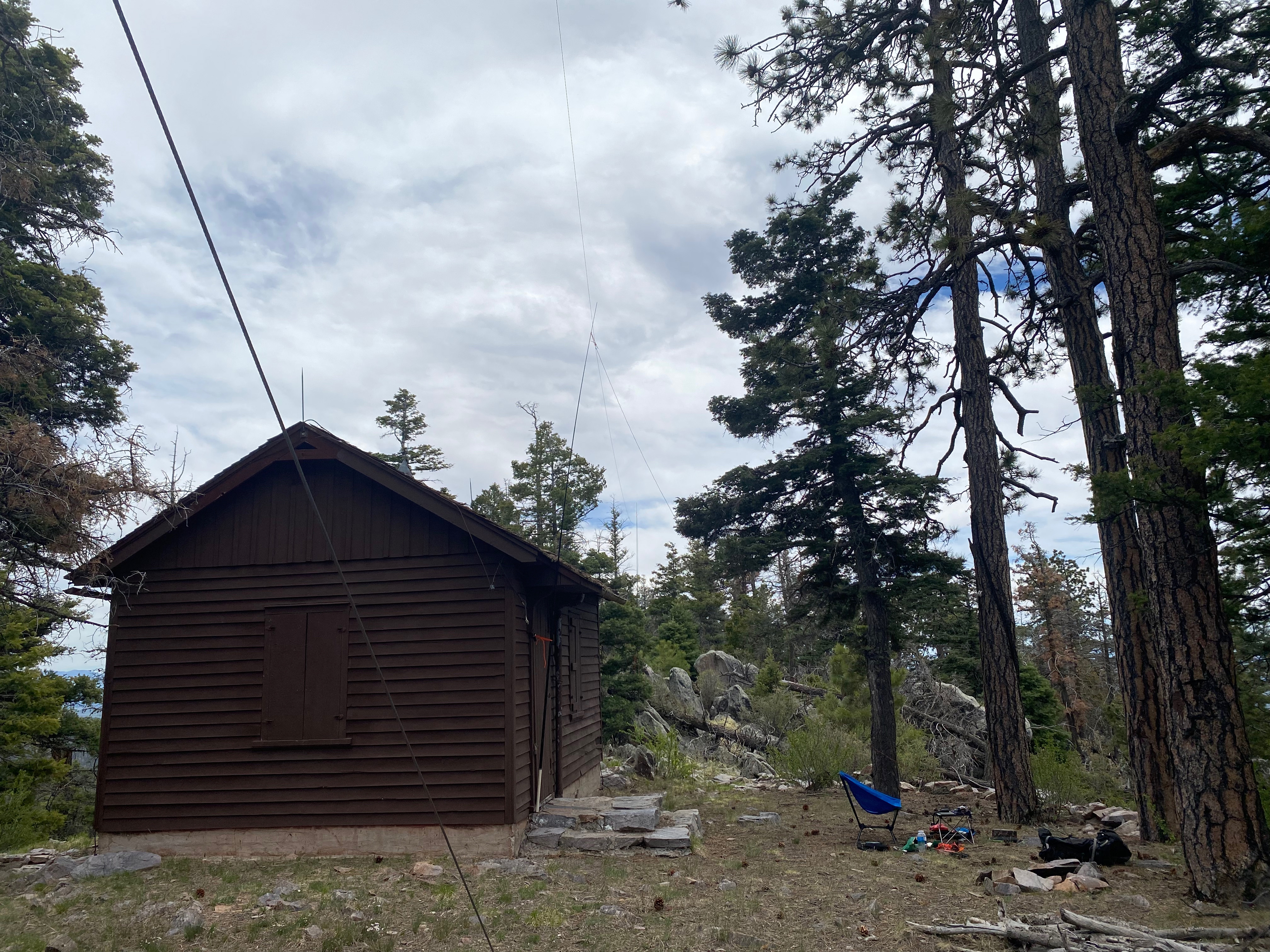
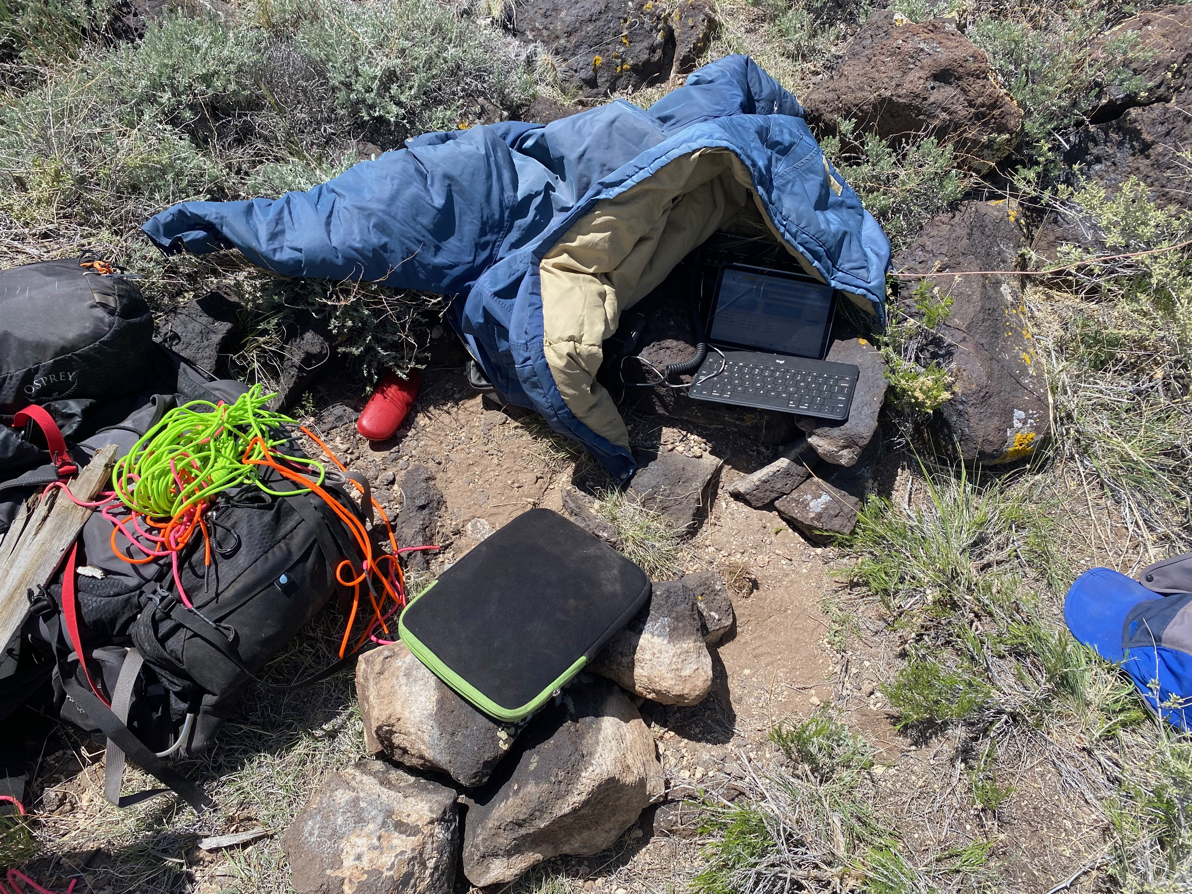
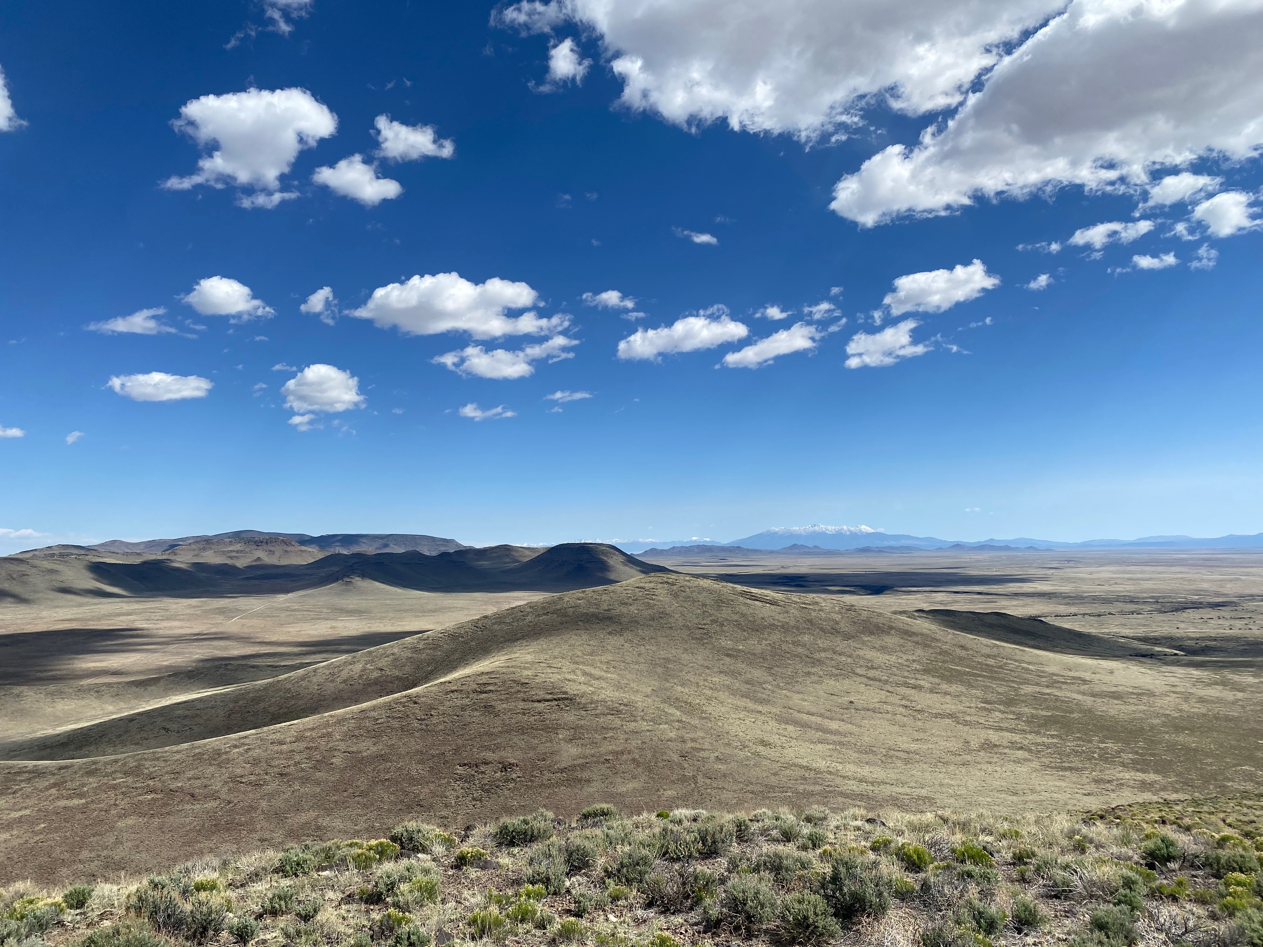
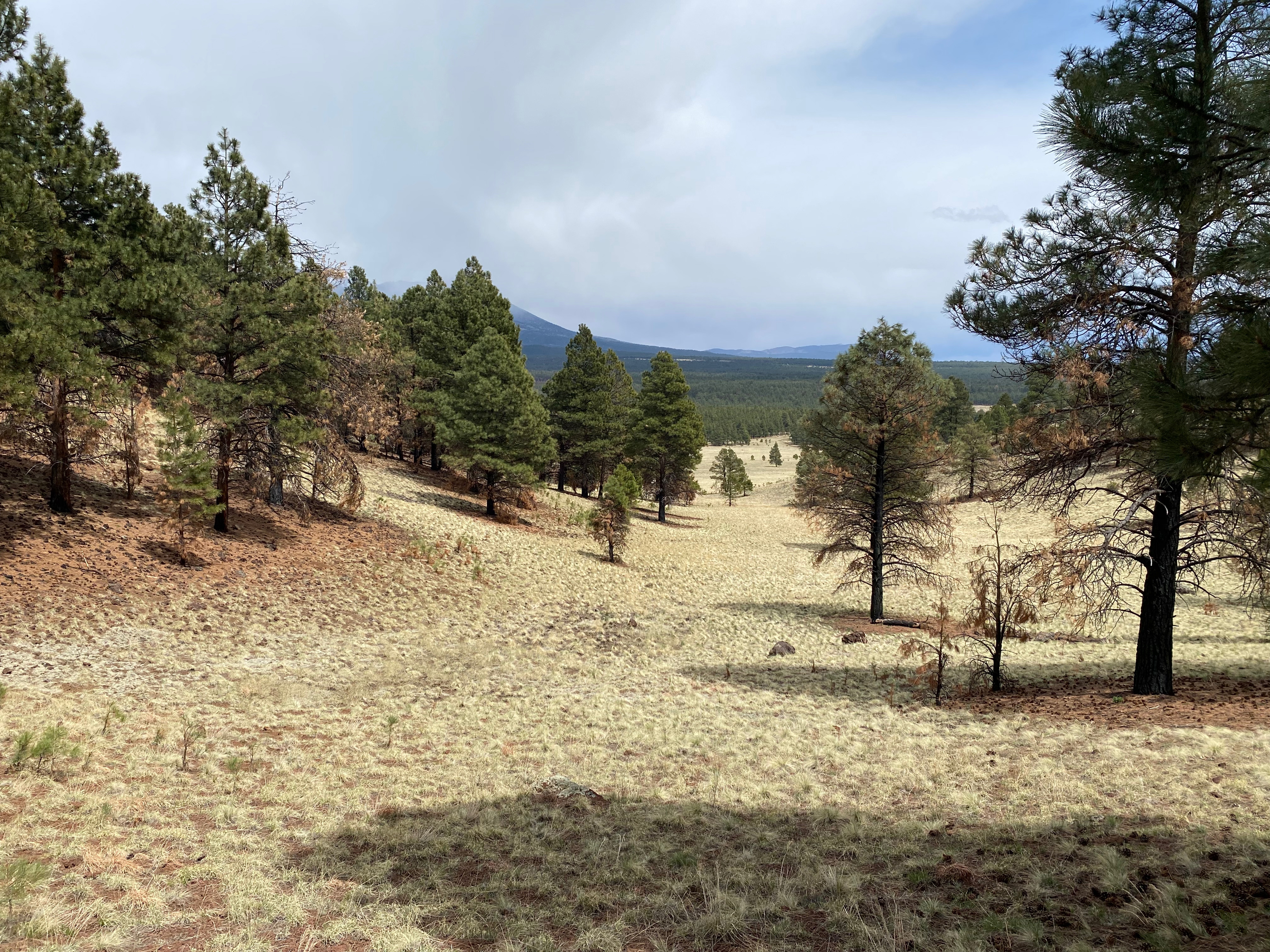
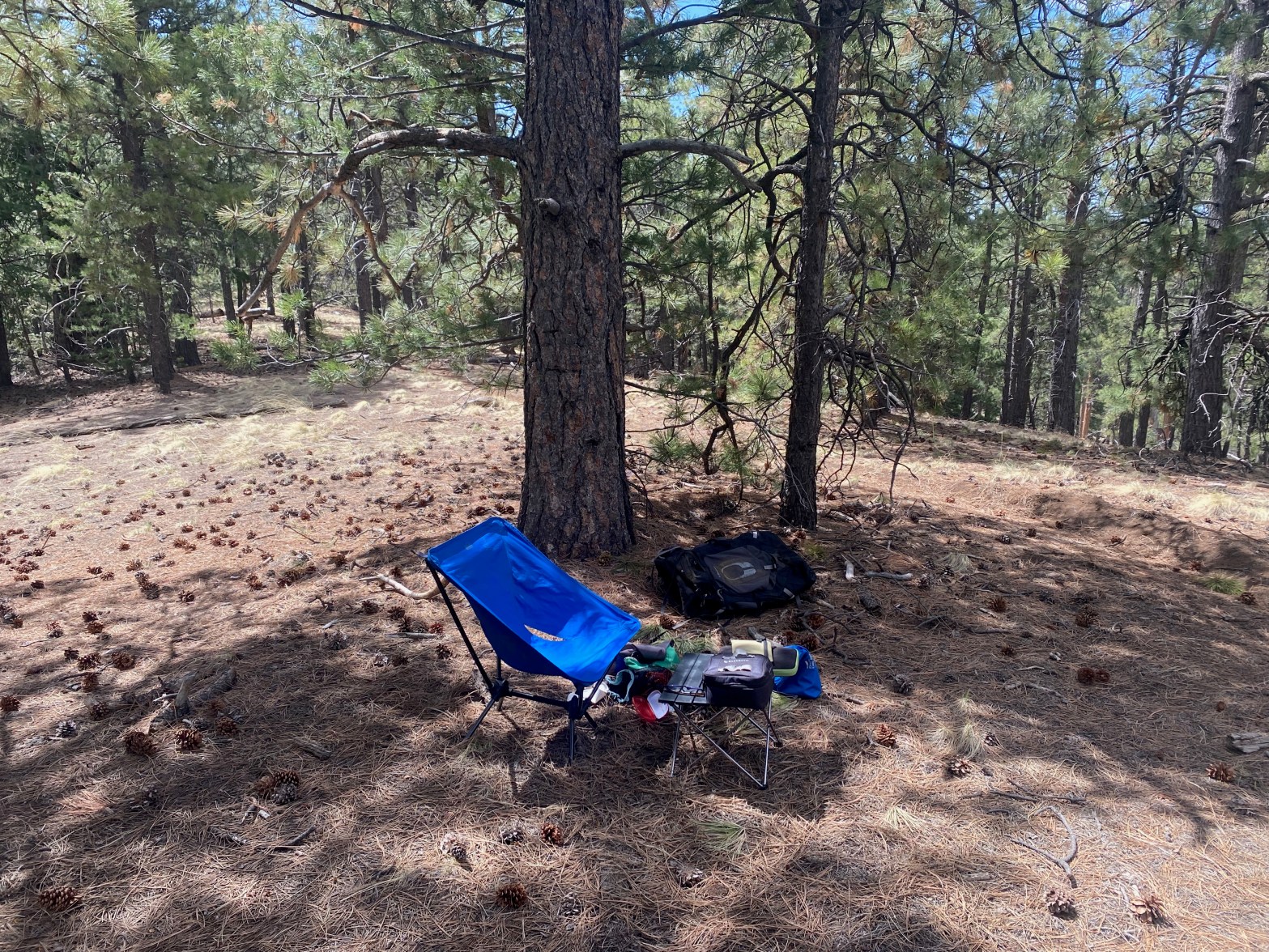
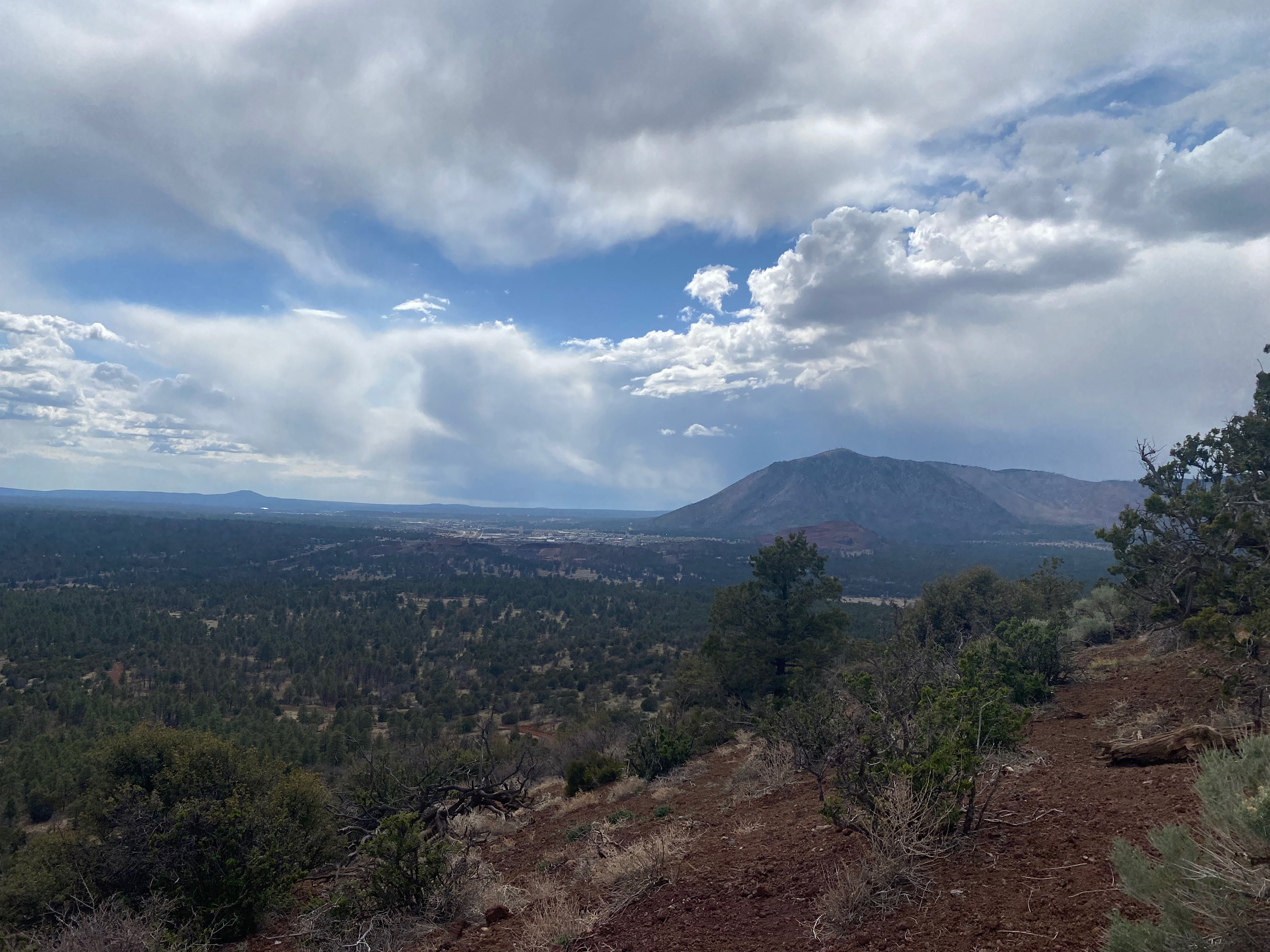
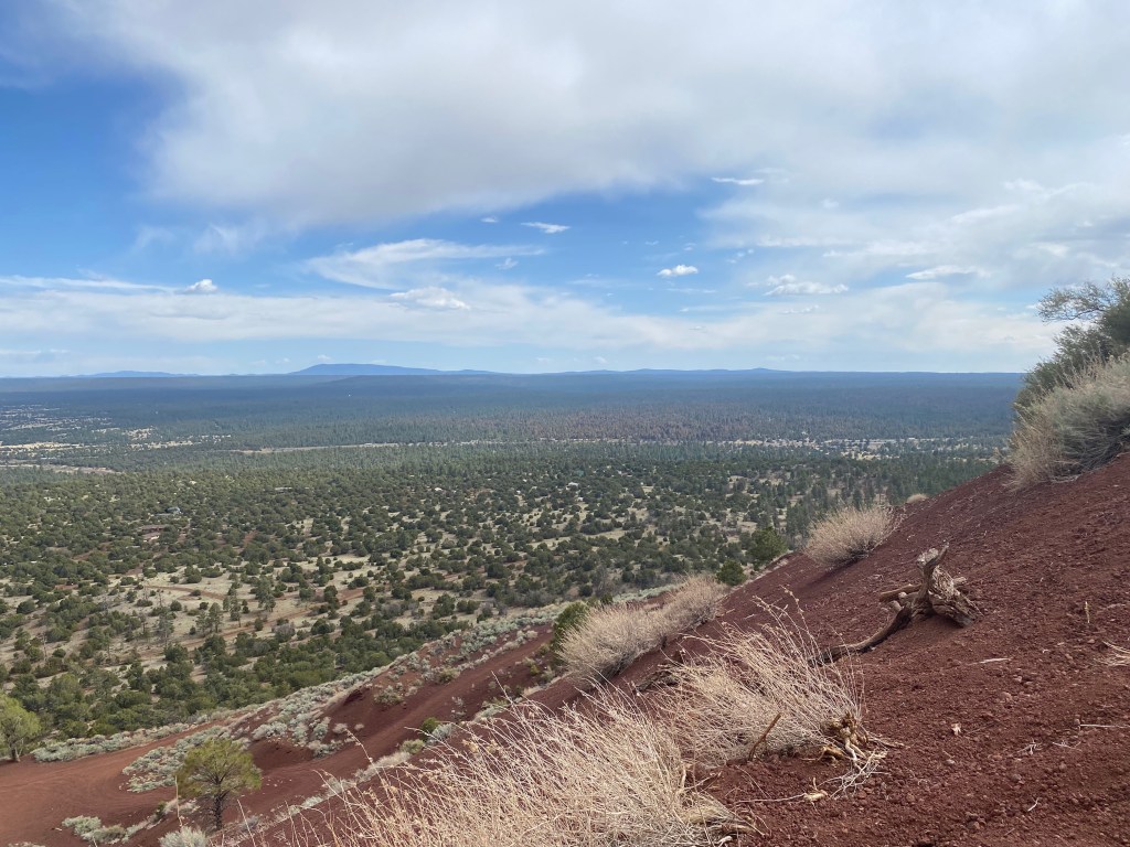
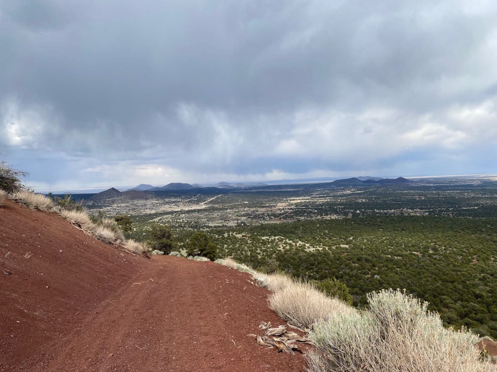
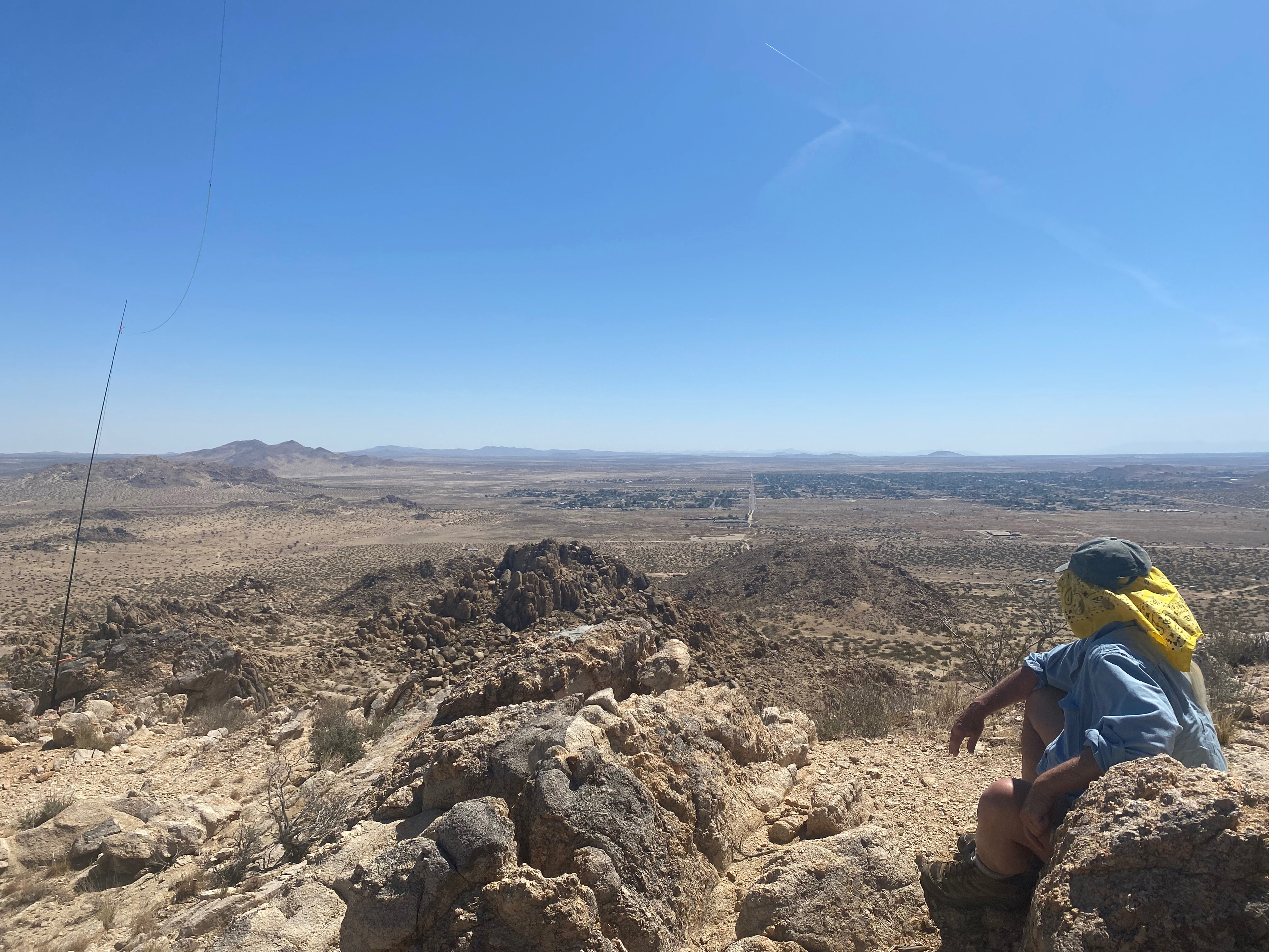
The sun rose as I hiked up the access road. I liked doing this early on a Sunday morning before the rowdy town of Tonopah wakes up. This walkabout from Cedar City, Utah across the Silver State took me on a lot of new ground, new dots across my map, so to speak. Yesterday’s first activation of Pahroc Summit and today’s first activation of Mount Butler made this an exceptional adventure for me. I saw wild horses both days.
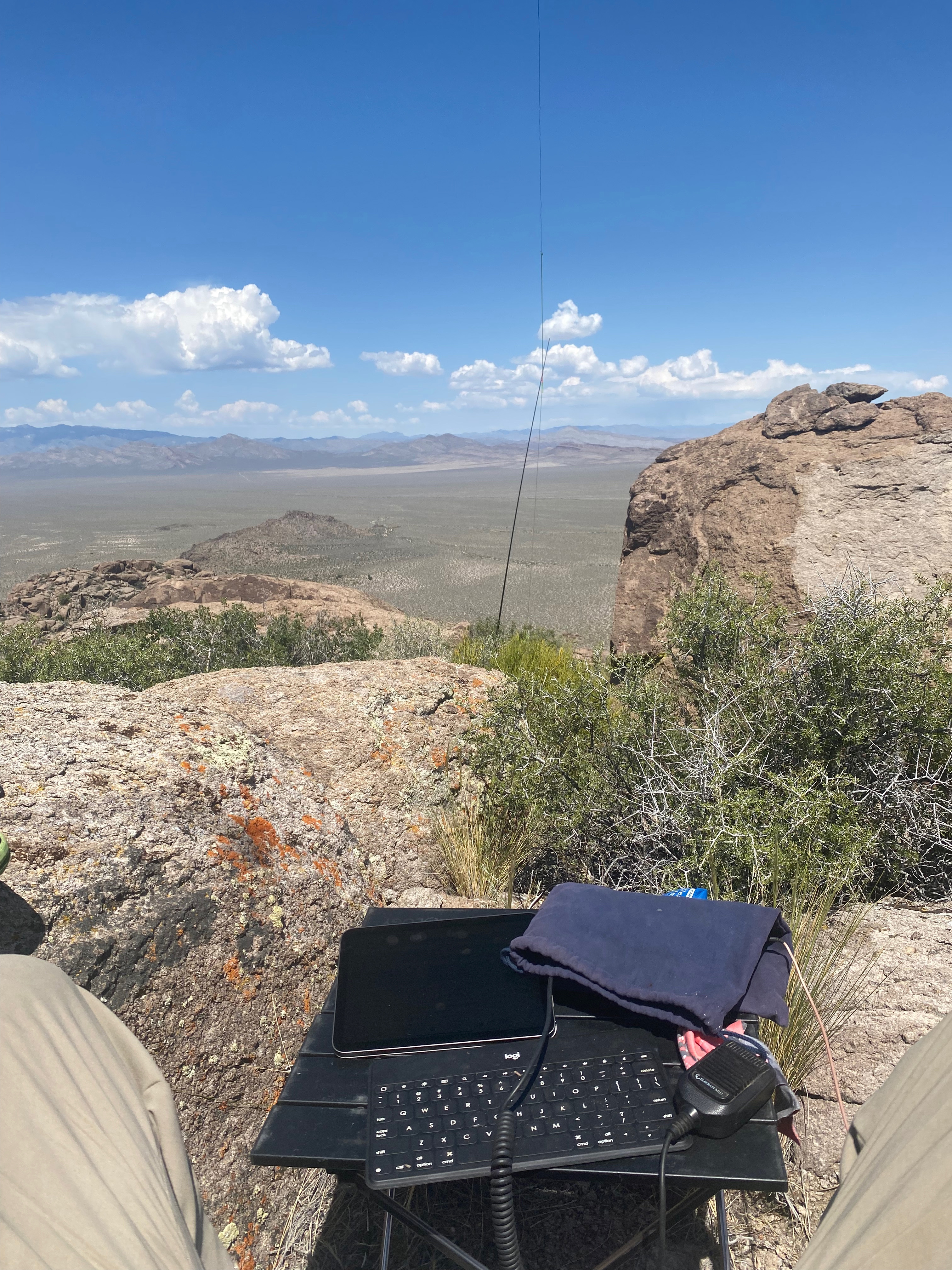
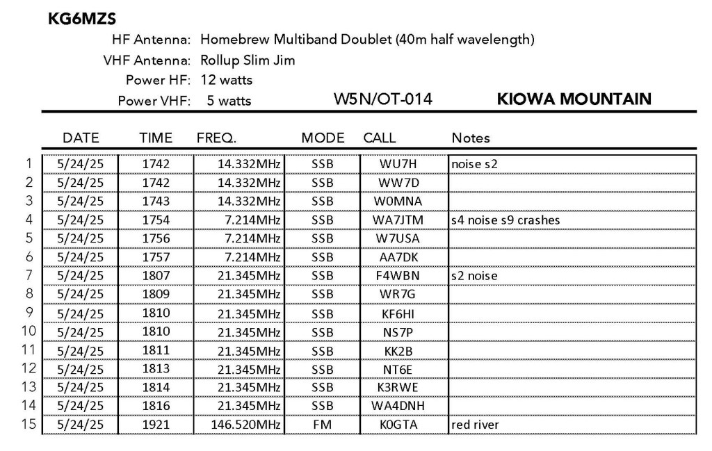
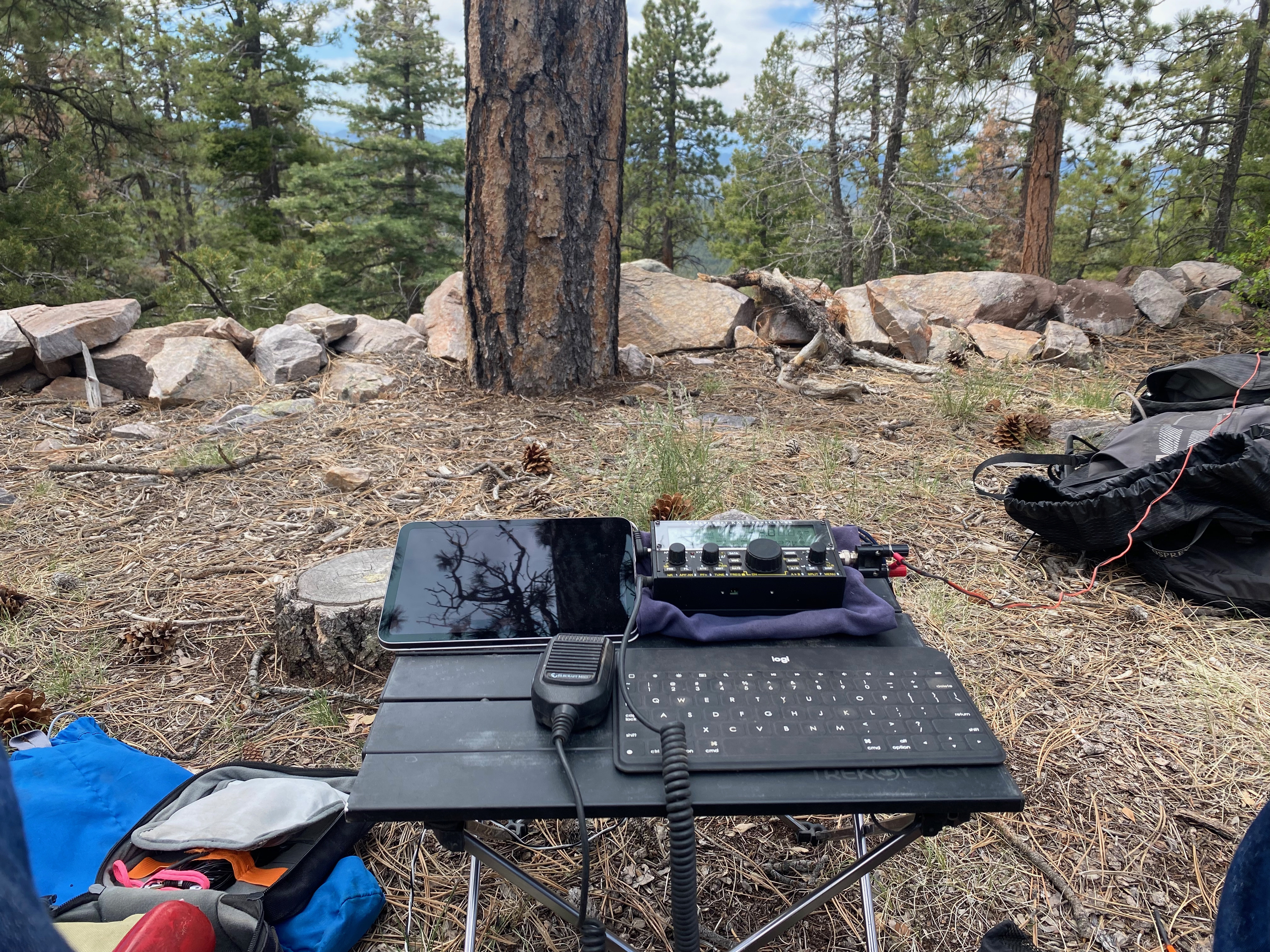
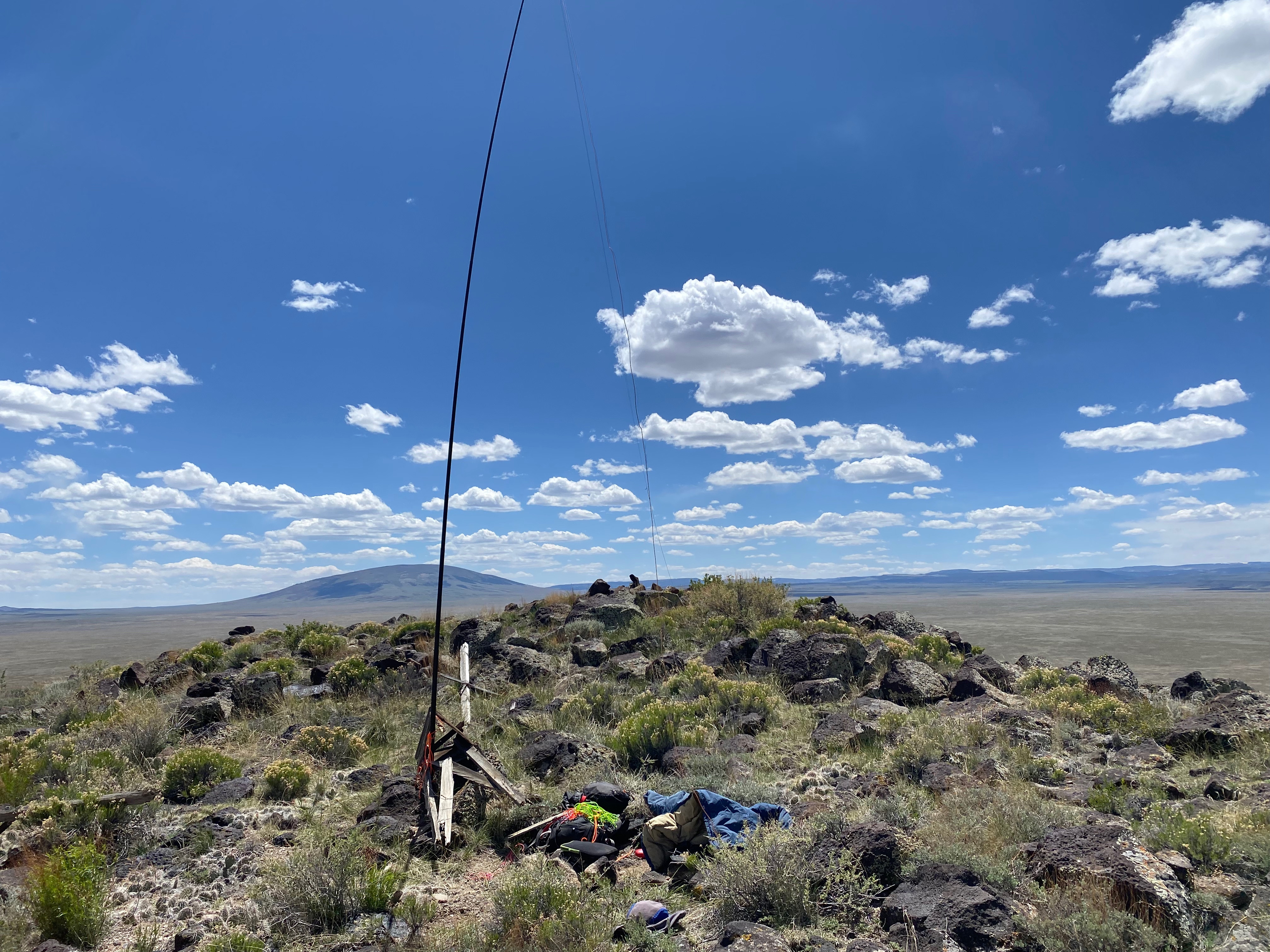
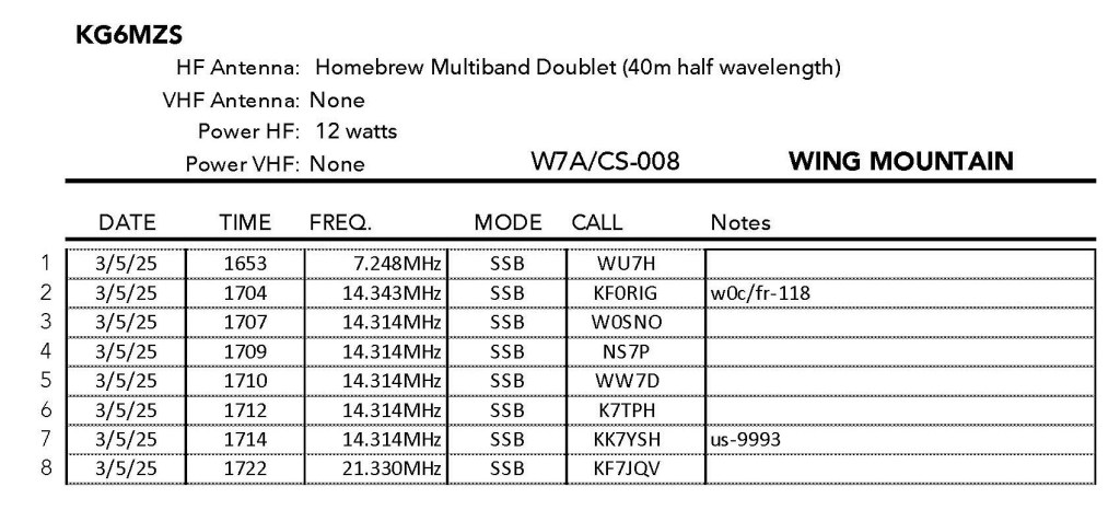
Radio conditions weren’t great and I received poor reports with a lot of noise noted. There is a military radar facility to the northeast over on an unnamed summit between Red Mountain and Booker Mountain that provided the periodic “fog horn” noise that made some QSOs difficult on 20m. Unlike the near zero noise the previous day.
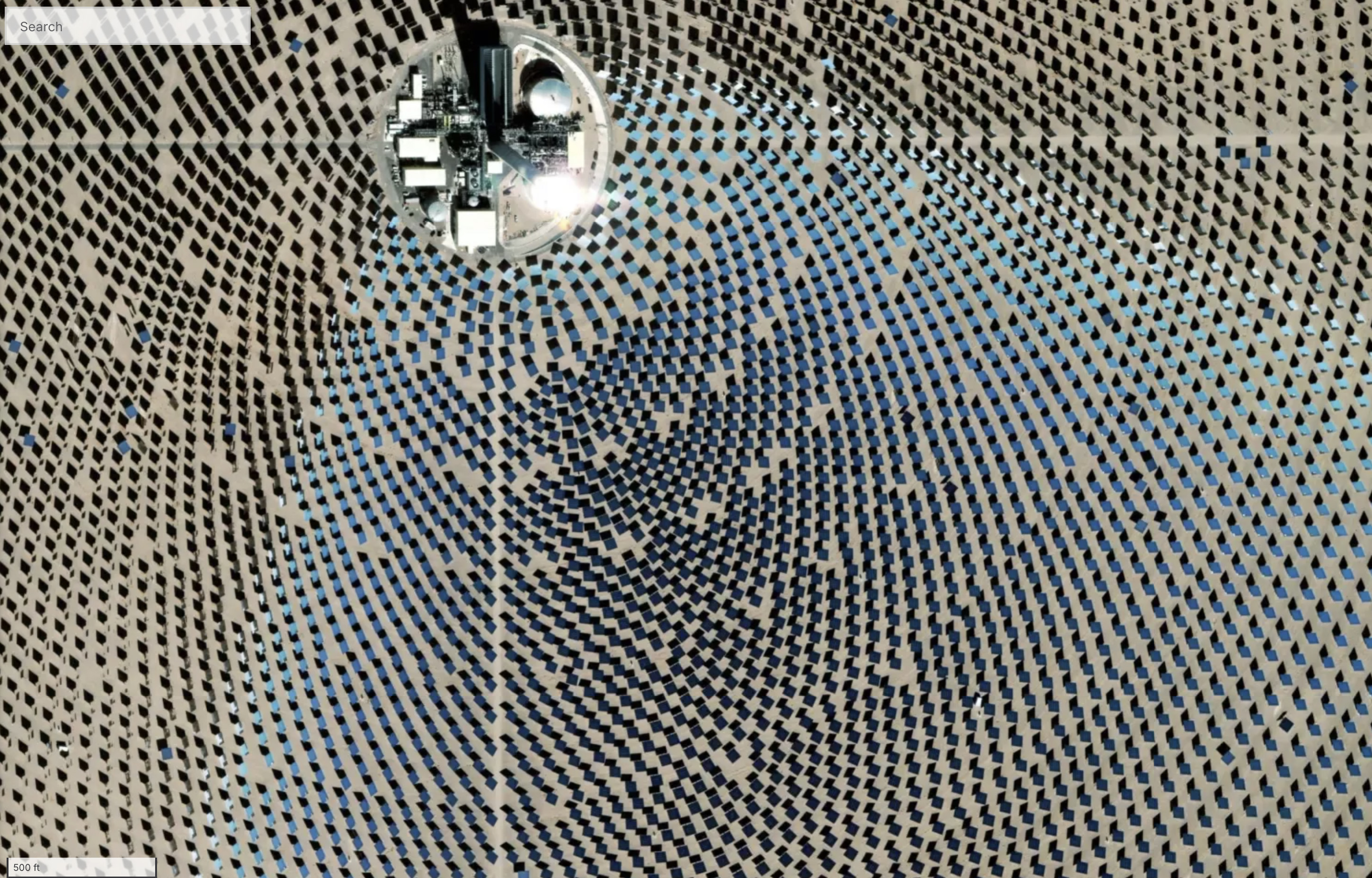
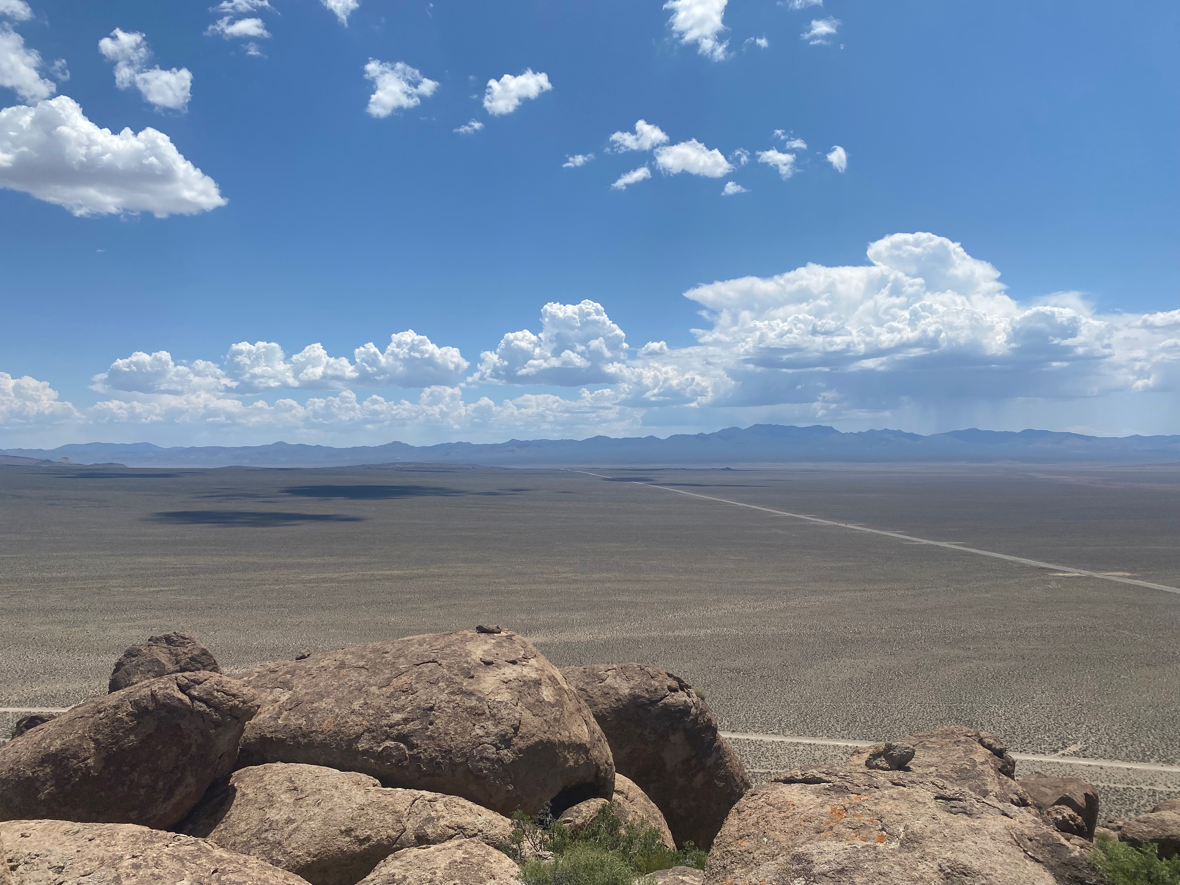
Also I wondered if the massive Crescent Dunes Solar Project that was plainly visible to the north was adding some QRM.


Leave a comment