
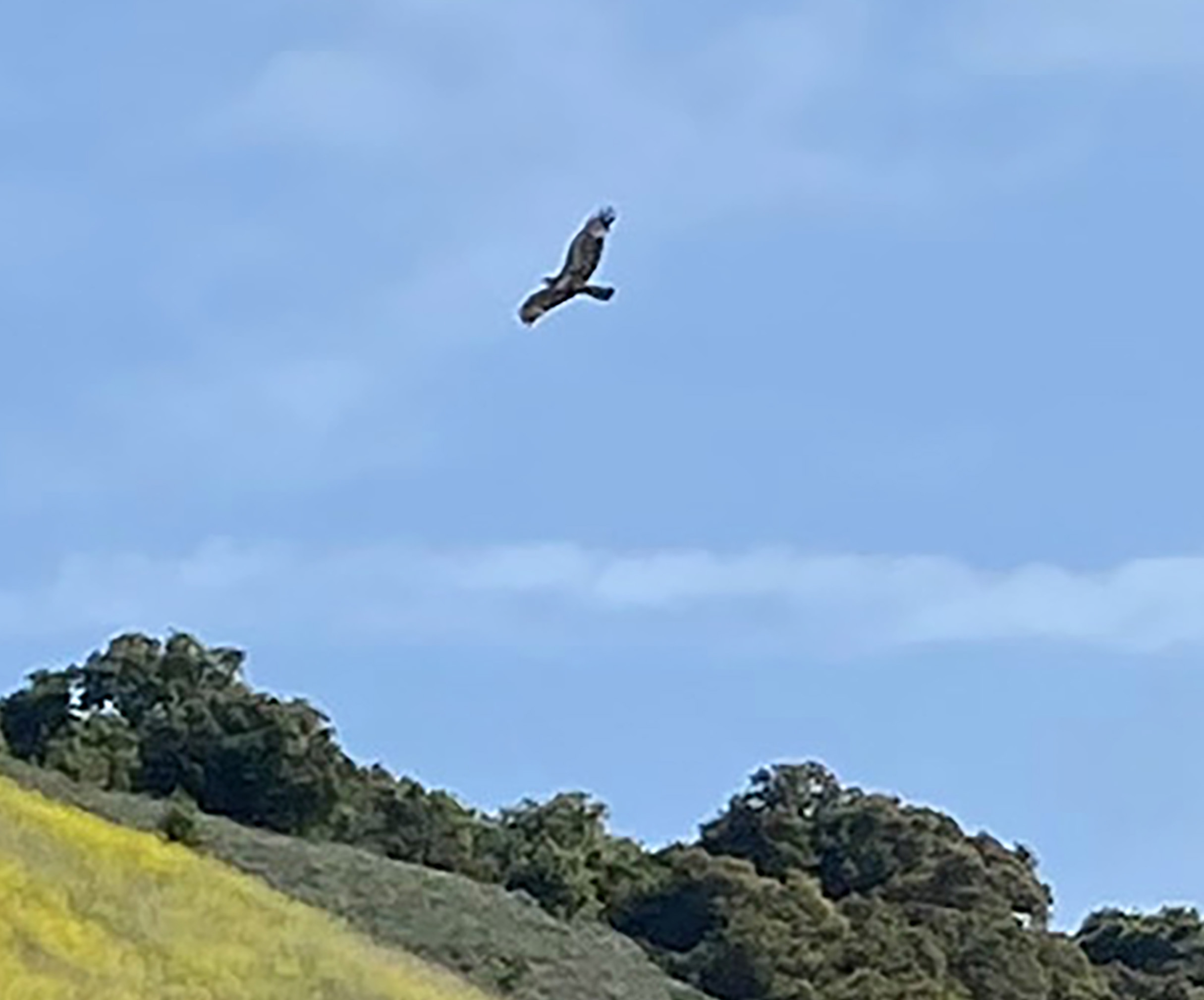
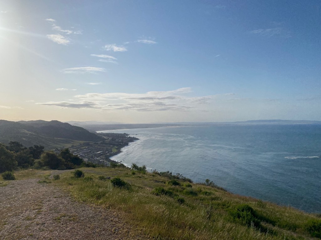
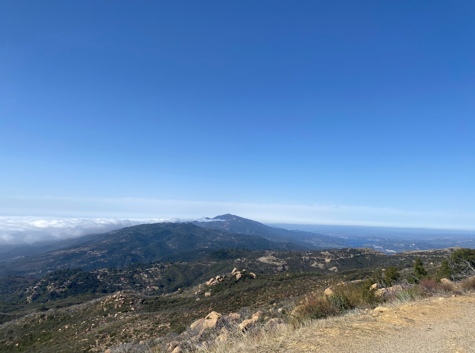
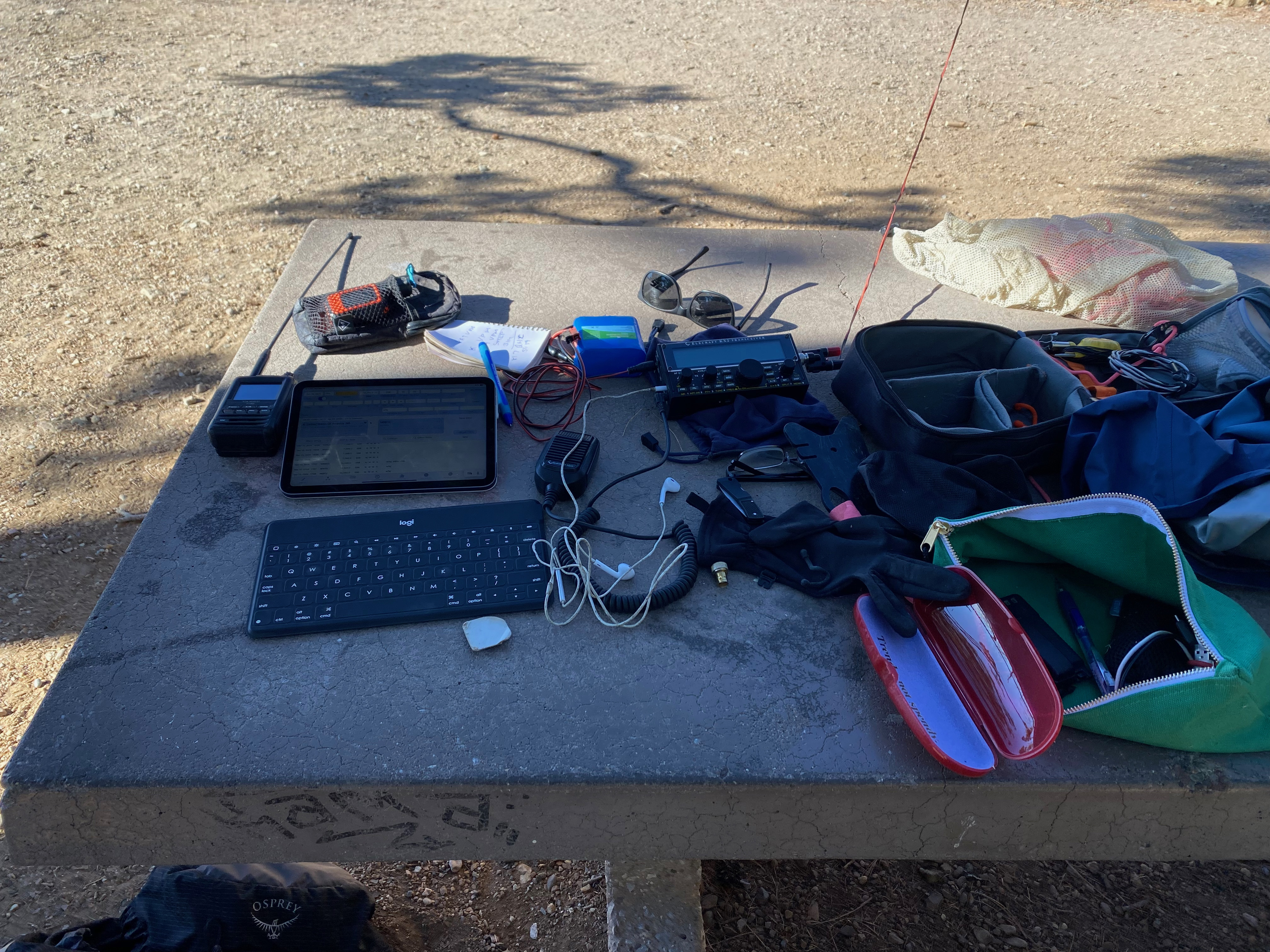
Valley View Benchmark is a lovely summit. Not sure what kind of bird that is – maybe a condor? (See below)
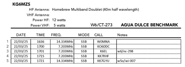
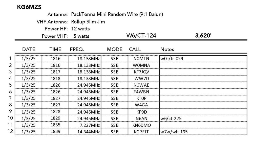
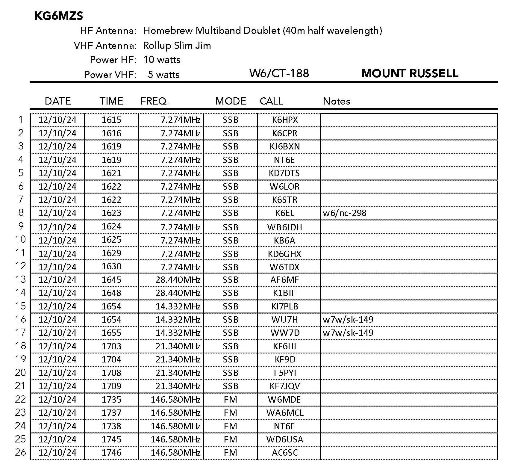
29 MARCH 2025 W6/SC-377

| Elevation: | 735′ |
| Route: | Trail |
| Hike Distance: | 2.5 miles round trip |
| Elevation Gain: | 550′ |
| Navigation: | Easy |
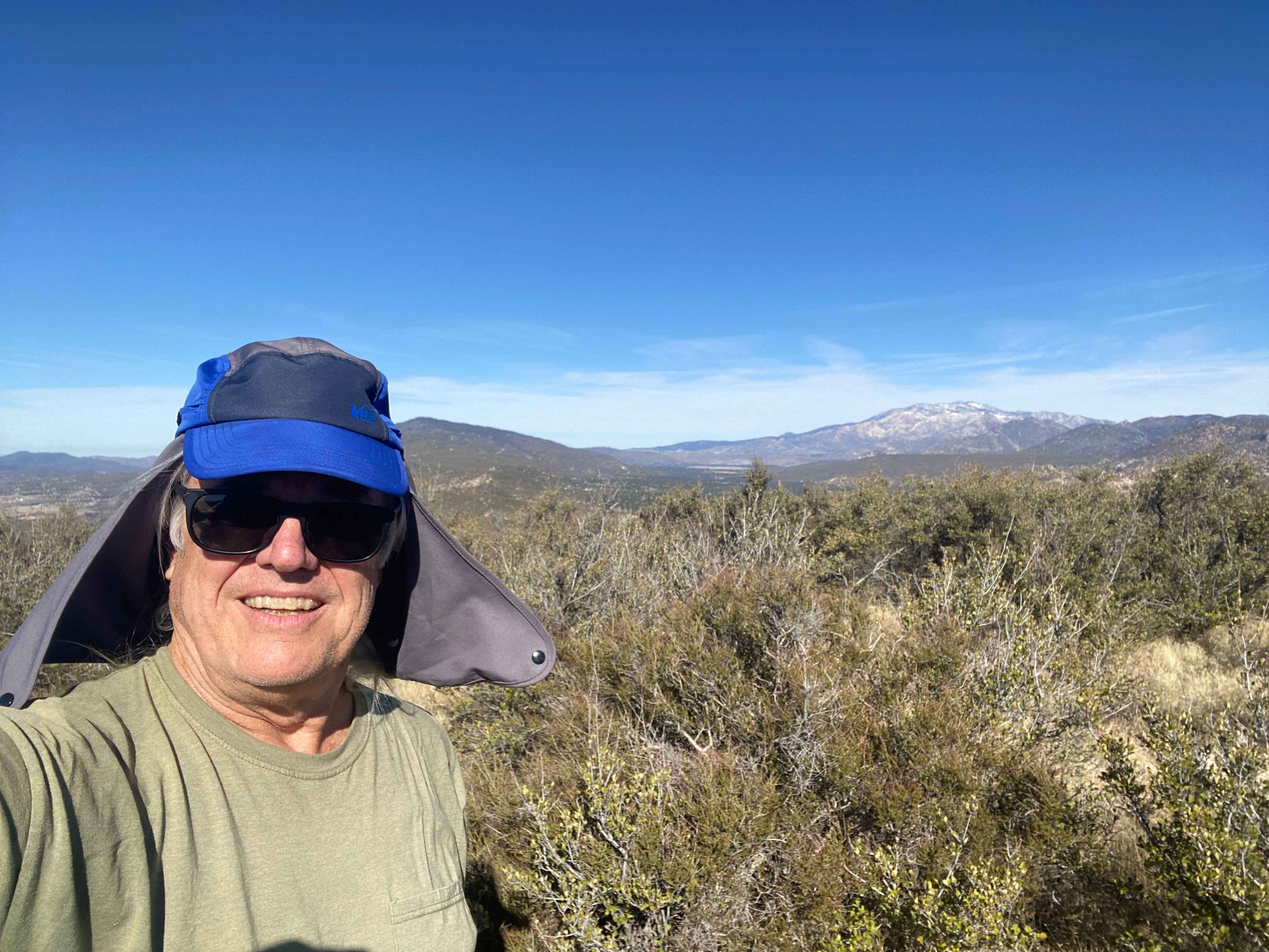
| Steepness: | Pretty steep in one place |
| Vehicle: | Passenger car |
| Road: | Paved |
| Cell Coverage: | Good from Verizon |
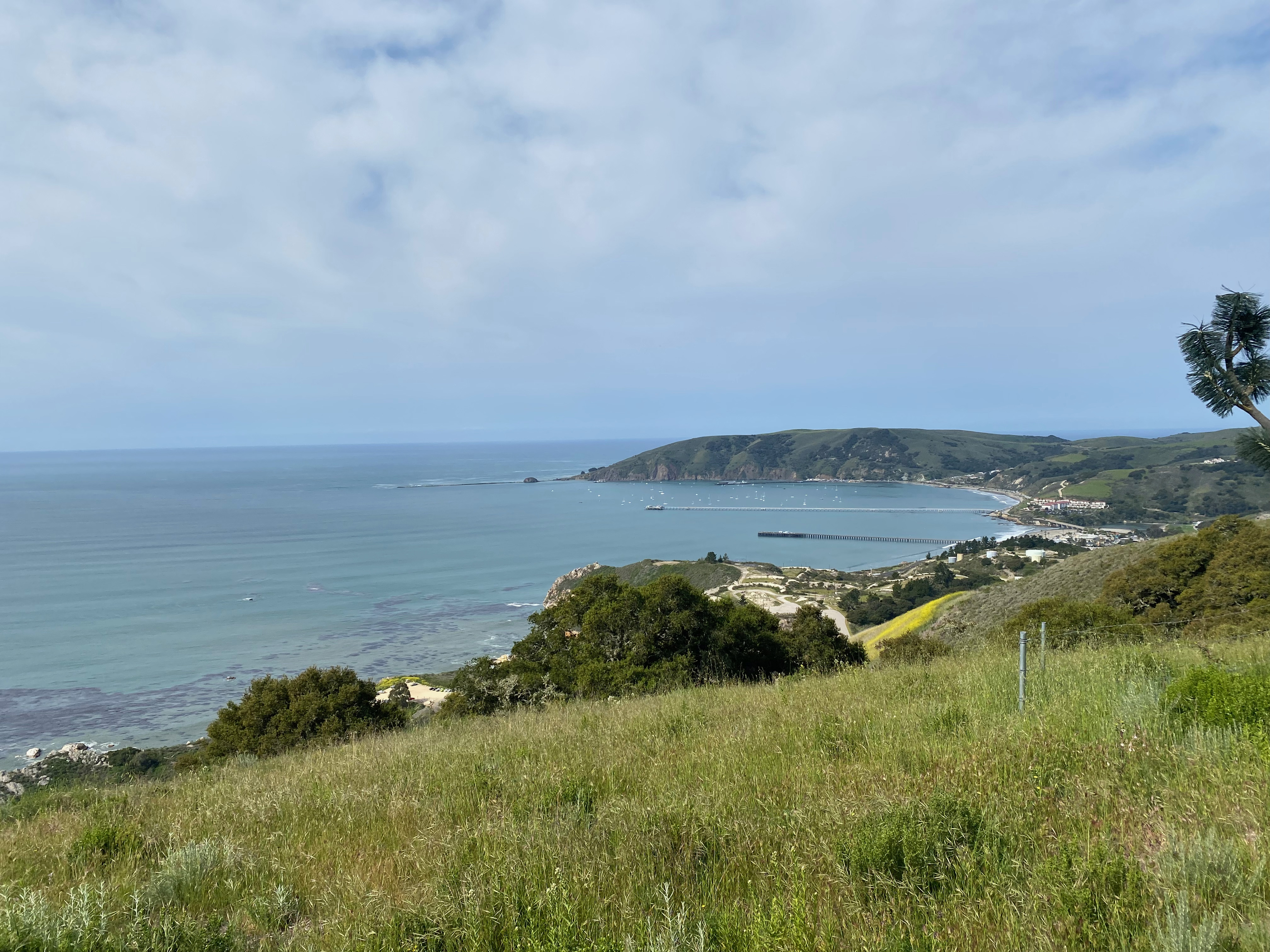
I love the central California coast in the spring! Late winter is even better. Too many tourists in the summer, but in the off season this part of California is a joy.
I got up early again and wanted a new summit that was easy. Those are getting harder and harder to find nearby as my SOTA obsession matures. The green hills from the late season rain prompted me to return to the central California coast.
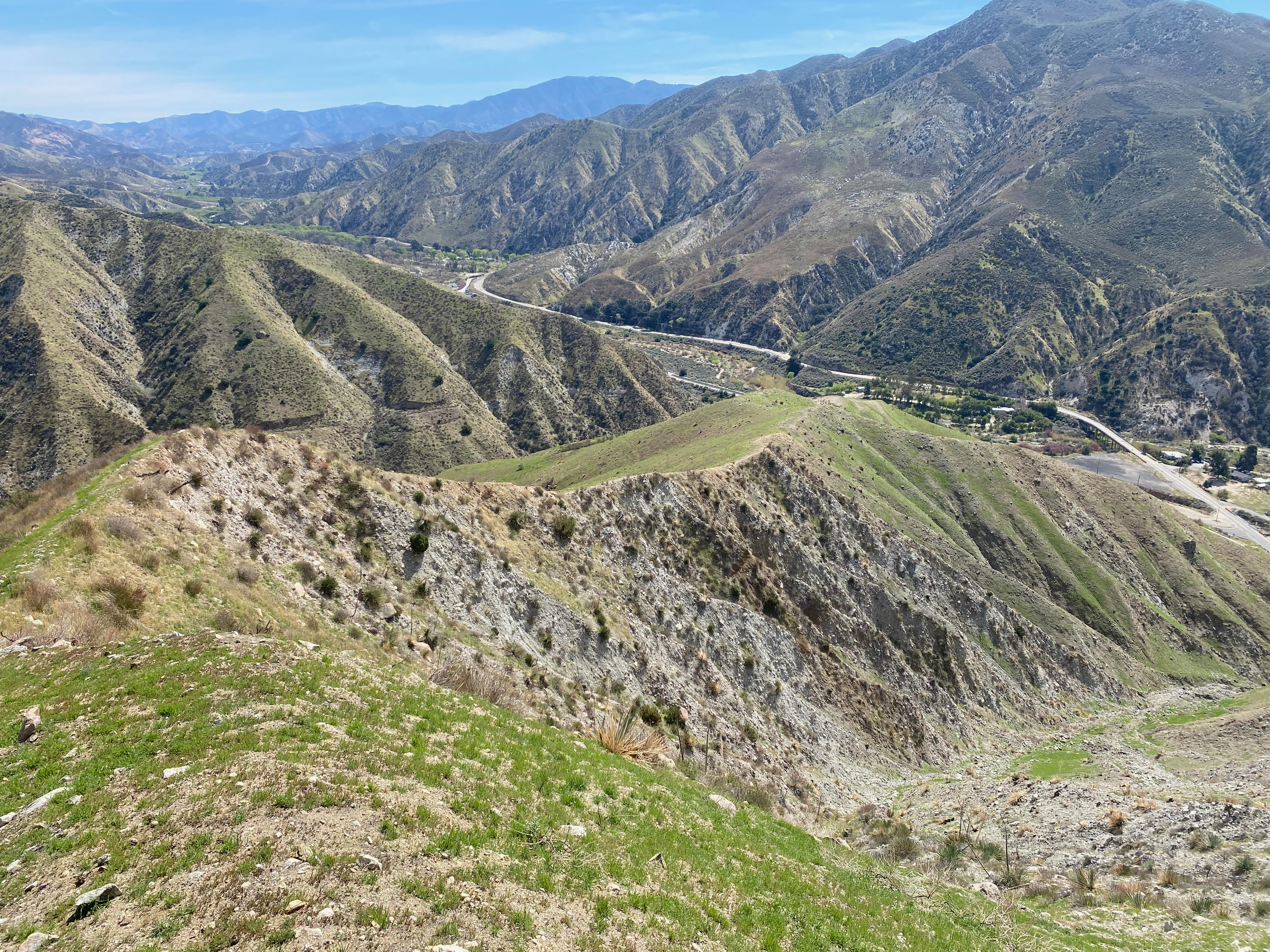
This summit can be hiked from the east or the west. As I had never actually been to the end of the cul-de-sac that is Avila Beach, I opted for the west end off Cave Landing Road.
The Saturday crowd even in the off-season was fairly robust. Lots of people out to take in the good sea air and have at the one big hill that goes straight up the mountainside through the Black Mustard and grass.
On the way down I took a the featured picture above and I think that large bird might be a condor due to the white patches under the wings. This didn’t seem like condor habitat to me. Here is a blow-up:


Leave a comment